South Cedar Creek Canoe Landing in Congaree National Park

Trailhead · Congaree National Park

South Cedar Creek Canoe Landing

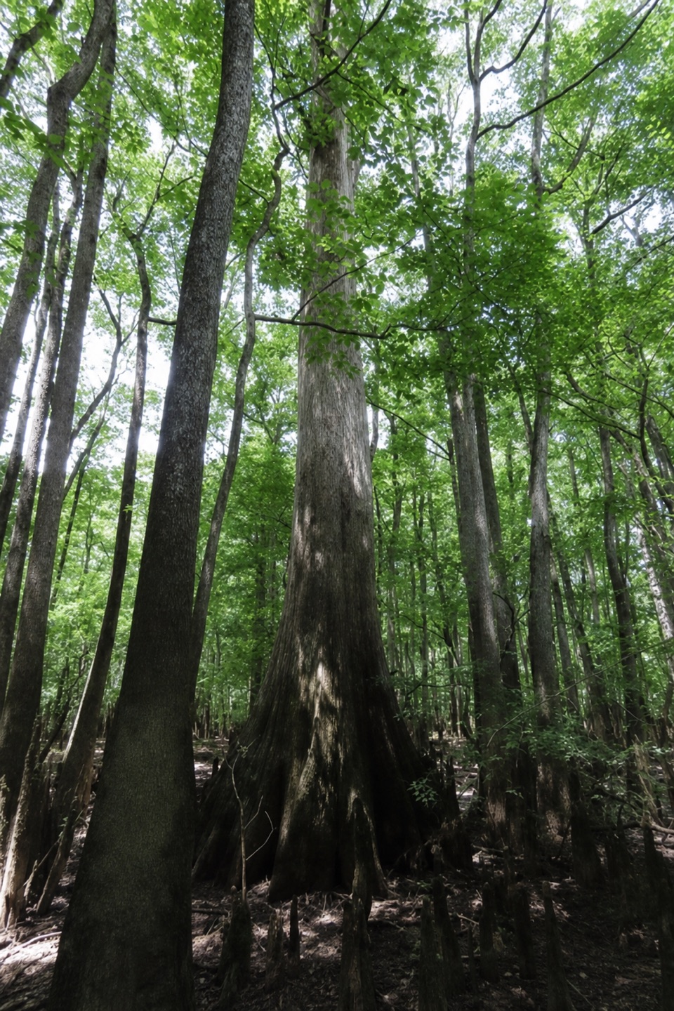
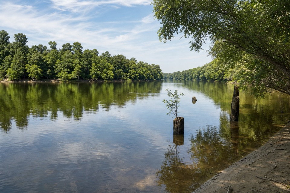
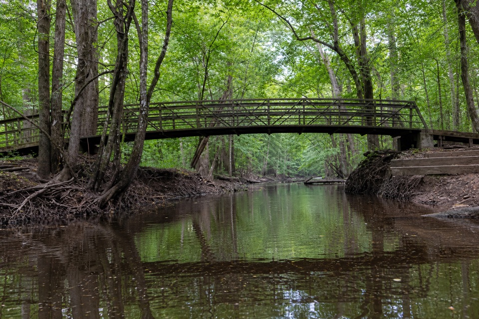
Paddle beneath cypress canopy from Congaree's eastern Cedar Creek access.

Type
Trailhead
Nearest trail
Right here
Audio stories
4 nearby
  • Parking
  • Restrooms

Hear the audio tour

South Cedar Creek Canoe Landing

Overview

About South Cedar Creek Canoe Landing

Why stop

  • A one-car out-and-back lets you enjoy the creek without arranging a shuttle.

Heads up

  • Uneven downhill access and eight steps separate the lot from the usual launch.

Map

Where it is

Loading the Congaree map
Full map
TrailheadSouth Cedar Creek Canoe Landing33.81922, -80.78775
Keep this map with you offline in the Parkwolf app

Plan your stop

Before you go

2 active Congaree alerts

  • CautionDowned trees obstruct Cedar Creek paddling routeMentions Cedar Creek, referenced in this guideExpect significant portages and carry-overs of logs and other obstacles on Cedar Creek between Bannister’s Bridge and South Cedar Creek because trees are down across the creek.Official details
  • CautionNavigation hazards on backcountry trailsOakridge, Boggy Gut, and Kingsnake trails are open but may be difficult to follow in some areas; carry GPS and use caution.Official details

Congaree alerts
A park ranger sits on a dash-mounted phone, talking, as Parkwolf’s Tour Guide plays “Army Cutworm Moths: A Grizzly Bear Buffet” on Grand Loop Road below Dunraven Pass in Yellowstone
Parkwolf Tour GuideThe highest, rockiest slopes around here are a summer buffet for grizzly bears.

Congaree Tour Guide

Your drive to South Cedar Creek Canoe Landing, narrated.

Parkwolf is a GPS audio tour guide for Congaree National Park. As you drive, it chimes in with what’s ahead: hidden gems, upcoming stops, history, geology, and wildlife, right through your car’s speakers.

Recorded for this place

South Cedar Creek Canoe Landing
0:00 / 0:30
“South Cedar Creek Canoe Landing is ahead, with a chance to paddle beneath big bald cypress. With one car, I'd make this an out-and-back and return to the same landing.”

Plays as you drive up to South Cedar Creek Canoe Landing in the Parkwolf Congaree Tour Guide.

More stories near here in the app

  • A Refuge from Slavery
  • The Fireflies' Other Beat
  • What the Flood Leaves Behind
  • Listen for the Barred Owl
  • 13 audio storiesacross Congaree’s roads, triggered by GPS as you drive
  • Wildlife heatmapsfor Alligator, Wild Boar, Barred Owl, and 13 more
  • Works offlinemaps, 9 trails, 14 places, and audio download before you lose signal
  • CarPlay readysimple controls built for the drive
★★★★★
“Fantastic app with many points of information… It’s great to just turn on while you’re driving and it gives you an audio tour of the national Park. We love it!!!!”
JMJamesApp Store review
Download Parkwolf on the App StoreGet Parkwolf on Google Play

4.7 from 8,600+ ratings

Guide

More about South Cedar Creek Canoe Landing

A good one-vehicle paddleSouth Cedar Creek Canoe Landing is one of Congaree's two vehicle-accessible launches for the…

South Cedar Creek Canoe Landing is one of Congaree's two vehicle-accessible launches for the Cedar Creek Canoe Trail. If you have one car, make this an out-and-back: the park points paddlers either upstream or downstream, then back to the same put-in. Bring your own canoe or kayak; the park doesn't rent boats, and guided trips meet here.

How far you want to goThe marked canoe trail runs about 15 miles from Bannister Bridge through Congaree Wilderness…

The marked canoe trail runs about 15 miles from Bannister Bridge through Congaree Wilderness toward the Congaree River. A longer option from Bannister Bridge to this landing covers about 8 miles and takes around six hours, so it needs a vehicle shuttle. You don't need to commit to that to get a worthwhile paddle here.

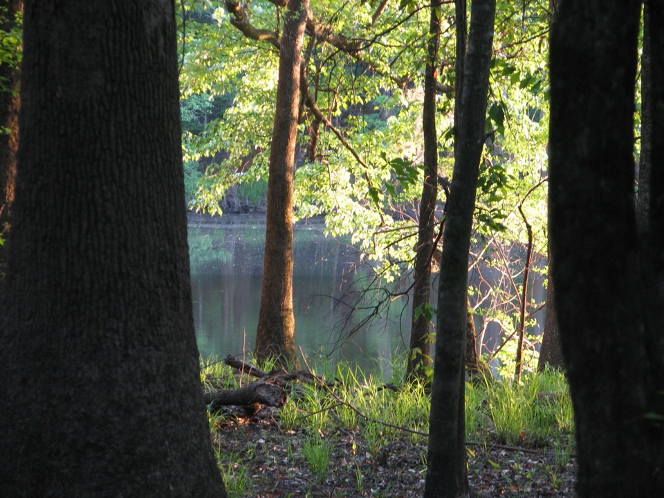
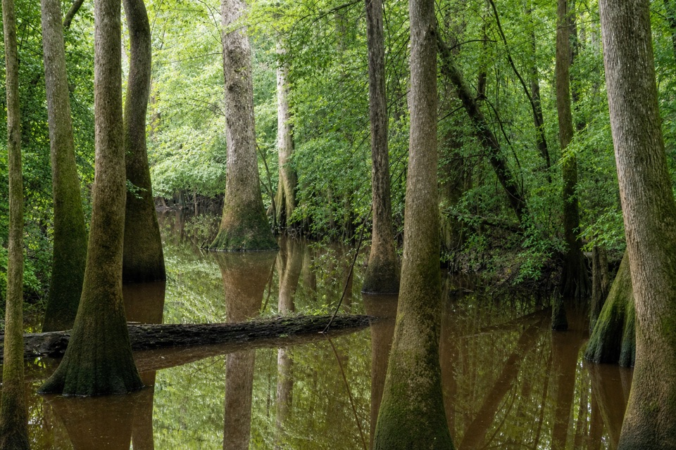
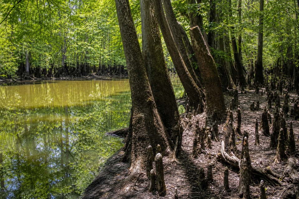
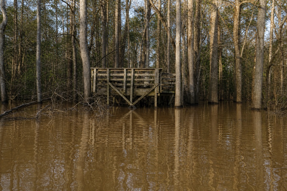
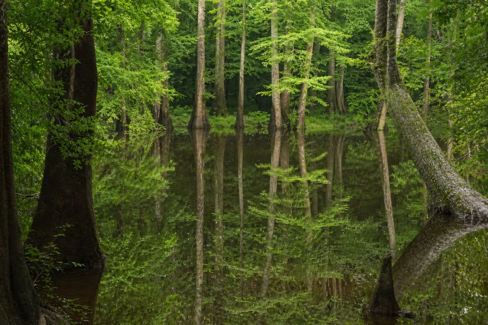
Cypress canopy and dark waterFrom the creek, big bald cypress shade the water and close in over parts of the channel.

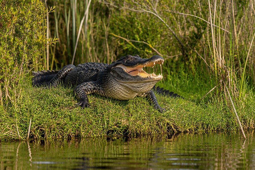
From the creek, big bald cypress shade the water and close in over parts of the channel. Downstream, Dawson's Lake is a popular fishing spot and a place to watch for river otter and other wildlife. Across the paddle route, look for tupelo, large loblolly pines, wading birds, turtles, deer, and the occasional alligator; animals are a possibility, not a promise. In warmer months, turtles and snakes may sun themselves on fallen logs.

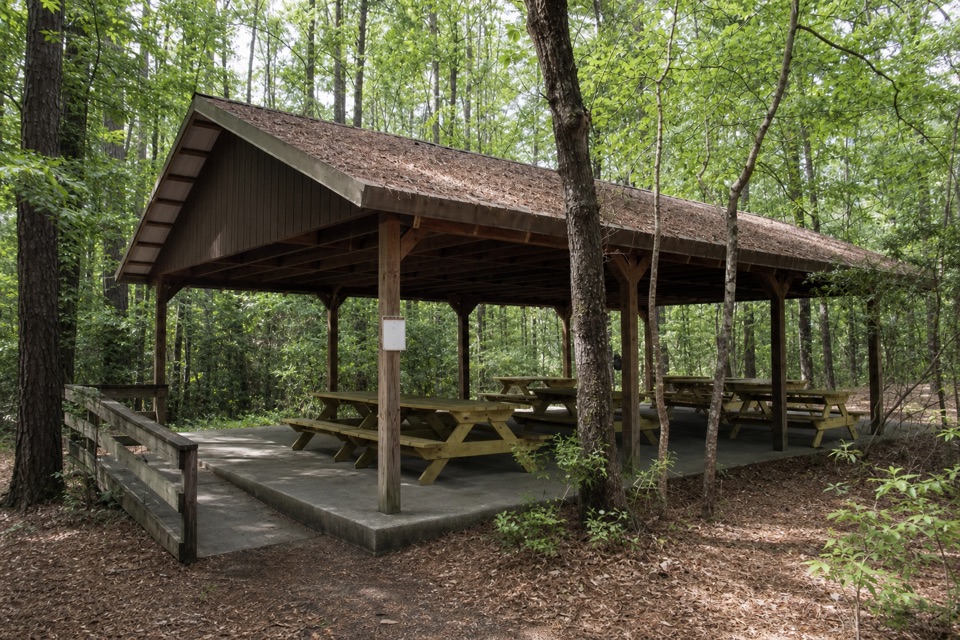
Getting down to the creekThere's a large gravel lot with two accessible spaces beside vault toilets.

There's a large gravel lot with two accessible spaces beside vault toilets. From the lot, the access slopes downhill over uneven ground, and eight steps lead to the usual launch point. The parking spaces are accessible, but the usual way to the water isn't step-free.

Read the creek before you launchWater levels can vary by as much as 10 feet; 8 feet is flood stage, and the park advises…

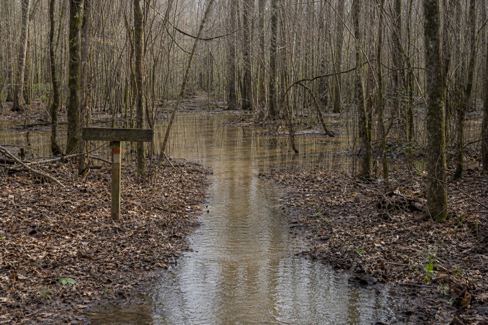
Water levels can vary by as much as 10 feet; 8 feet is flood stage, and the park advises against paddling above it, especially for inexperienced paddlers. Downed trees and log jams are common and can mean portages. Check the creek gauge and current conditions before setting out, and carry a map and compass because changing water can hide trail markers.

Wildlife

Wildlife in Congaree

All Congaree wildlife maps

Sighting maps show where each species has been reported across Congaree. Wildlife moves, so no sighting is guaranteed.

Keep exploring

Near South Cedar Creek Canoe Landing

See it all on the map

Trails nearby

More stops nearby

Parkwolf’s Congaree ranking

Top sights in Congaree

All 14 places
  1. 1Weston Lake OverlookSight
  2. 2General Greene TreeSight
  3. 3Wise LakeSight
  4. 4Moonshine Still (Boardwalk Stop 15)Sight
  5. 5Richland County PineSight
  6. 6Bates Ferry LandingSight

Take Parkwolf to Congaree.

The audio tour guide for the drive, plus offline maps, trails, and wildlife heatmaps for when the signal drops.

4.7 from 8,600+ ratings

Download Parkwolf on the App StoreGet Parkwolf on Google Play