Parking
Use Alexander Road Trailhead at Sagamore Creek, off Alexander Road just west of Dunham Road. Parking is limited.
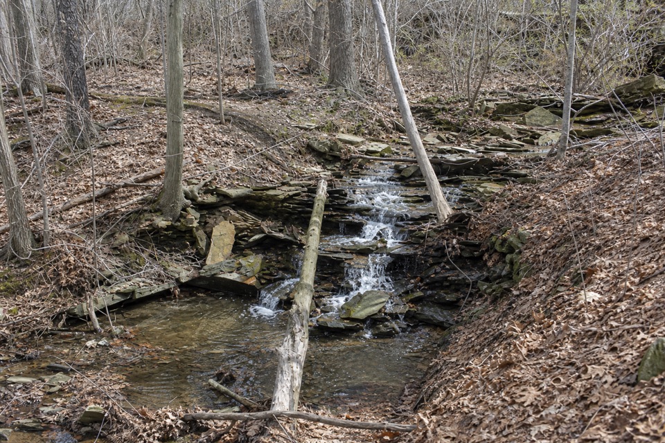
Cuyahoga Valley National Park, OH
Two seasonal falls reward a steep walk through the gorge.
Overview
Map & elevation
Plan your hike

The highest, rockiest slopes around here are a summer buffet for grizzly bears.
Cuyahoga Valley Tour Guide
Parkwolf is a GPS audio tour guide for Cuyahoga Valley National Park. As you drive, it chimes in with what’s ahead: hidden gems, upcoming stops, history, geology, and wildlife, right through your car’s speakers.
Recorded for this trailhead
Sagamore Creek Loop“You're approaching the Alexander Road access for Sagamore Creek Loop, a rugged walk into a wooded gorge.”
Plays as you drive up to this trailhead in the Parkwolf Cuyahoga Valley Tour Guide.
More stories near here in the app
“Fantastic app with many points of information… It’s great to just turn on while you’re driving and it gives you an audio tour of the national Park. We love it!!!!”


Trail guide
Sagamore Creek Loop is a 3.6-mile circuit from Alexander Road Trailhead at Sagamore Creek. It drops into the steep, wooded Sagamore Creek gorge, passes Linda Falls and a second, unnamed cascade, then climbs the north side back to the lot. Allow about two hours. Do it for a rugged creek-valley walk; the mileage hides a real descent, stream crossings and a climb back out.
Head south from the lot on the paved Bike and Hike Trail, then take the right-hand turn toward Linda Falls. The path follows the southern rim before dropping to Canal Road. Cross Sagamore Creek and follow the return trail into the woods; the Frazee House is a useful landmark near the creek. The loop leaves the shared bridle section and climbs the north slope back to Alexander Road.
The steep wooded slopes fold into deep ravines, with several small waterfalls along the creek. Linda Falls is the named one; a second cascade is unnamed. Both are seasonal, so treat flowing water as a bonus rather than a guarantee. The low rock shelves and shallow stream make the best photo stop. Step back enough to keep the creek around the water; a tight crop loses the setting.
This is not a smooth, level park path. Expect uneven natural tread, a steep drop to the creek and a climb back out. The crossings are the main footing question, especially at the ford. Hikers share a short bridle-trail section with horses, so yield to riders. Pets are allowed on leashes no longer than eight feet.
Use Alexander Road Trailhead at Sagamore Creek, off Alexander Road just west of Dunham Road. Parking is limited. This is the full loop from that access, not the separate one-way creek walk between Frazee House and Alexander Road.
Wildlife
 319 sightingsBald EagleMost seen around 7 AMSighting map
 12 sightingsRiver OtterMost seen around 7 AMSighting map
 103 sightingsCoyoteMost seen around 7 PMSighting map
 248 sightingsBeaverMost seen around 8 PMSighting map
 492 sightingsWhite-tailed DeerMost seen around 6 AMSighting map
 99 sightingsTrumpeter SwanMost seen around 5 PMSighting map
Sighting maps show where each species has been reported across Cuyahoga Valley. Wildlife moves, so no sighting is guaranteed.
Keep exploring
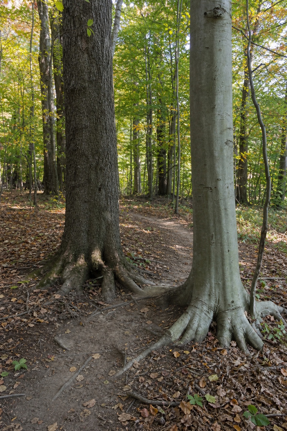 ModerateBedford Singletrack Loop11.5 mi · 5.5 hr · 0.3 mi awayA long forest circuit linked by one-way singletrack and paved paths.
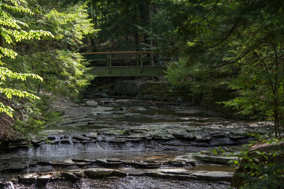 EasyBridal Veil Falls Walk0.3 mi · 18 min · 1.4 mi awayA short stairway walk to a low cascade in a wooded gorge.
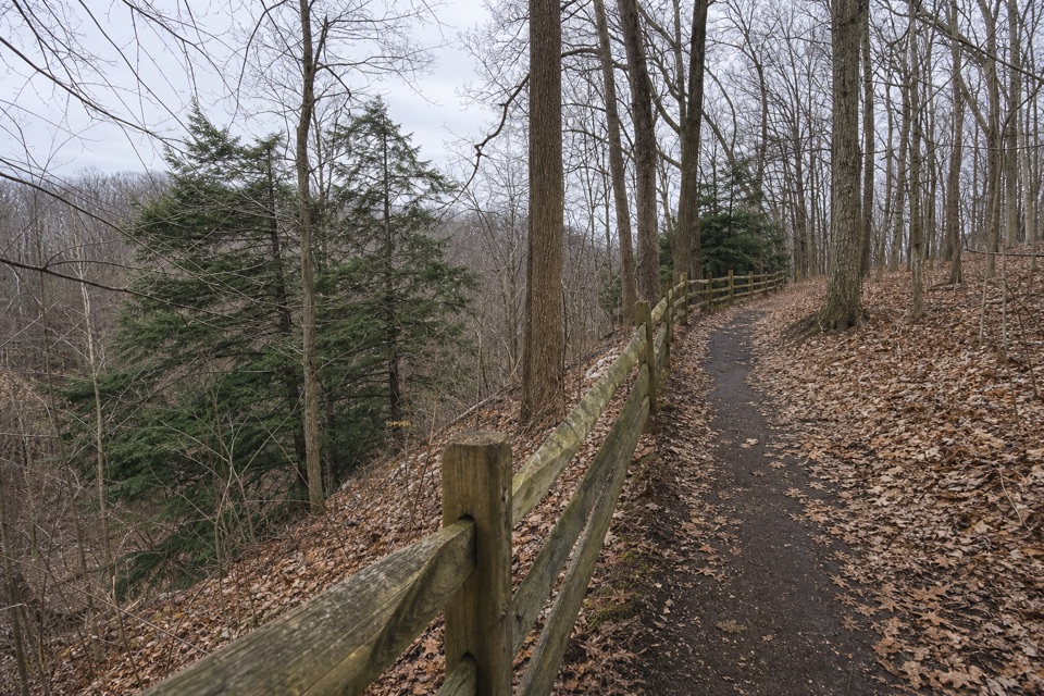 EasyEgbert Loop Trail0.3 mi · 15 min · 2.4 mi awayA short wooded path above the gorge, best walked out and back.
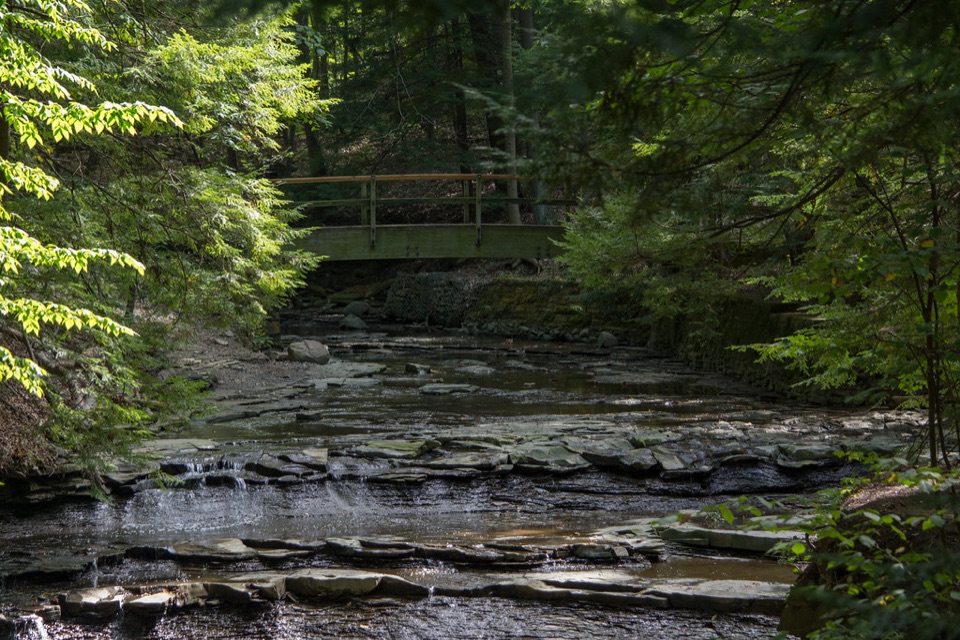 ModerateTinker's Creek Gorge Trail5.5 mi · 3 hr · 2.4 mi awayA wooded out-and-back that ends at falls and a gorge overlook.
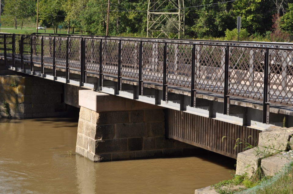 EasyCanal Exploration Center to Tinkers Creek Aqueduct Walk1.3 mi · 45 min · 2.5 mi awayA short canal walk past Lock 38 to Tinkers Creek Aqueduct.
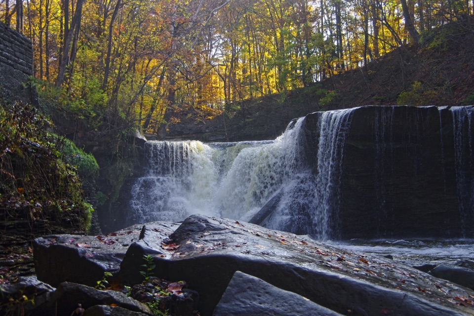 EasyViaduct Park Loop0.4 mi · 18 min · 2.7 mi awayA short gorge loop with Great Falls views and mill history.
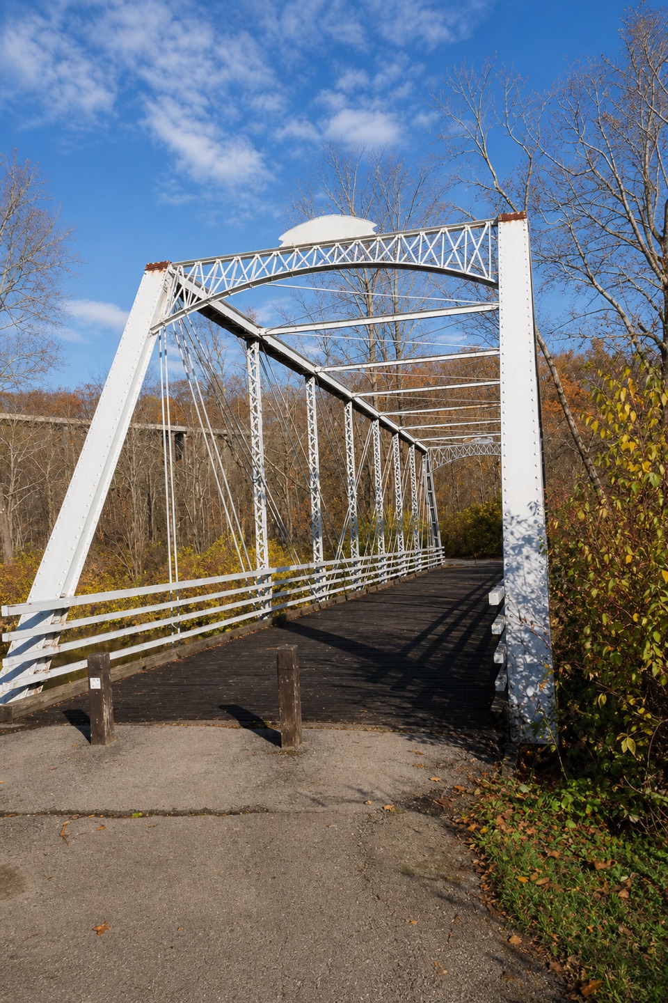 ModerateBuckeye and Towpath Loop: Station Road Bridge to Red Lock10.3 mi · 5.5 hr · 2.9 mi awayBuckeye hills and a canal-side Towpath make one varied loop.
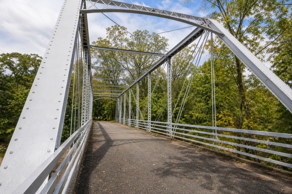 EasyStation Road Bridge to Mudcatcher Walk1.5 mi · 45 min · 2.9 mi awayA short river loop over an iron bridge and through canal history.
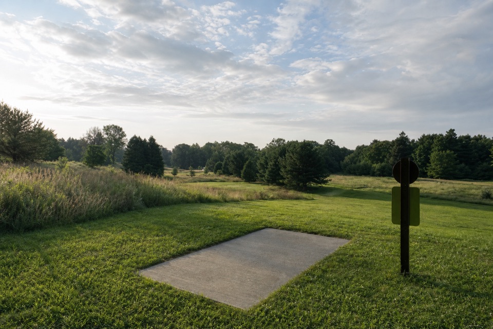 Sight · 1.1 mi awayAstorhurst Disc Golf CourseA long, hilly 18-hole round over a former golf course.
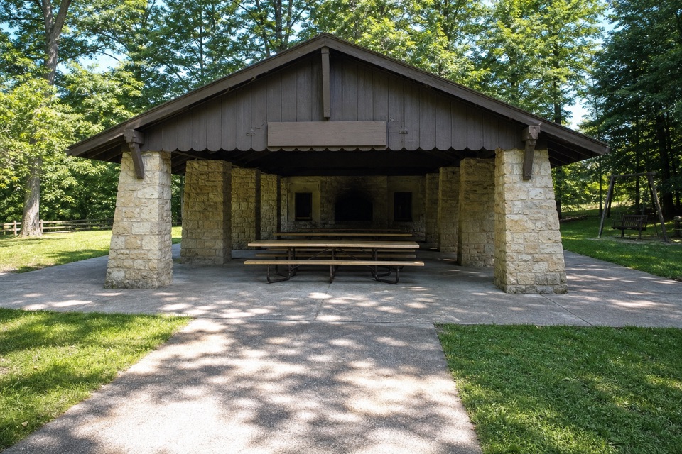 Picnic area · 1.1 mi awayHermit’s Hollow Picnic AreaA family picnic shelter with a wood-burning fireplace.
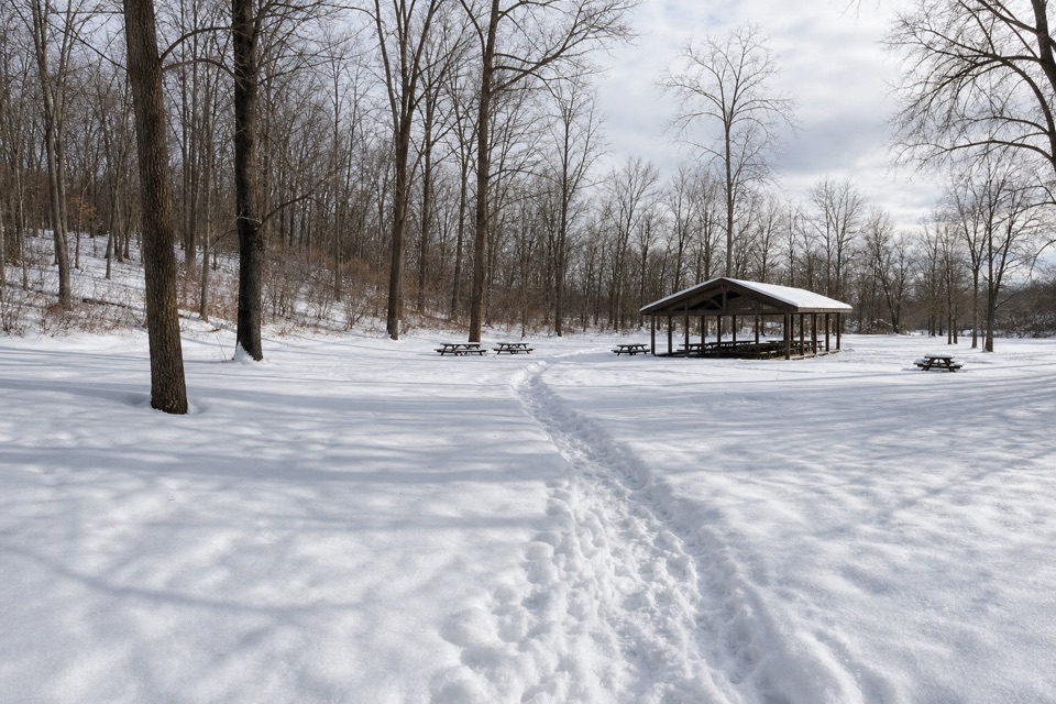 Picnic area · 1.3 mi awayHemlock Creek Picnic AreaShelter, grills and trails make this an easy picnic stop.
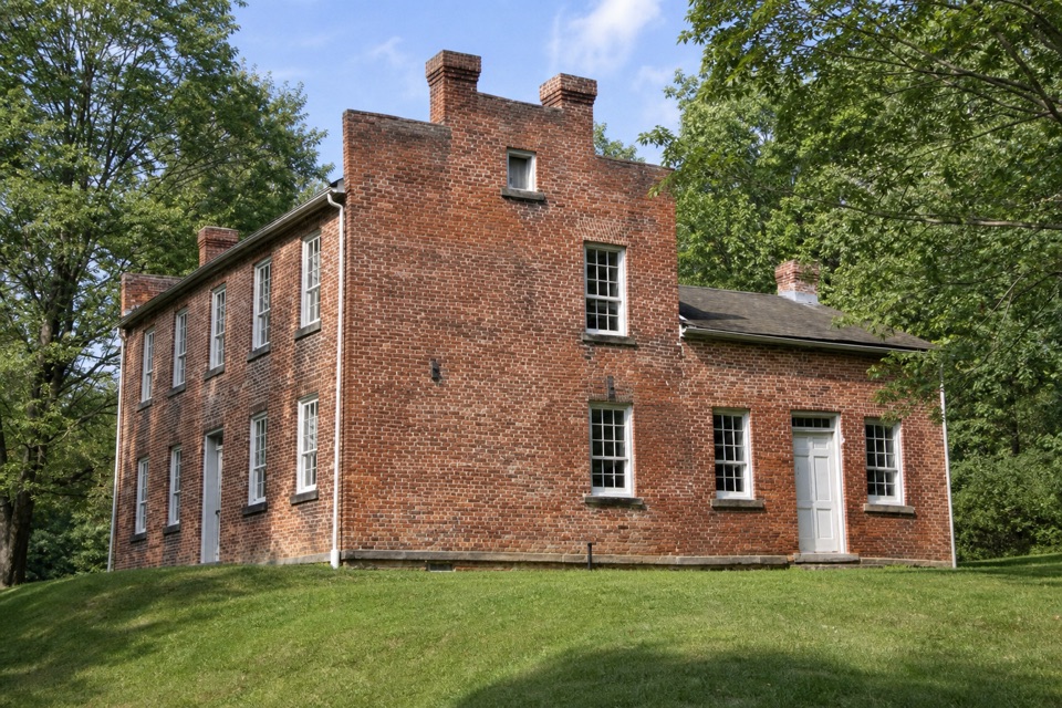 Sight · 1.3 mi awayFrazee HouseA hand-built brick house with a story tied to the old canal.Sight · 1.4 mi awayBridal Veil FallsA wooded cascade reached by boardwalk and a steep stair climb.
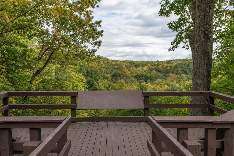 Sight · 1.5 mi awayTinker's Creek Gorge Scenic OverlookA quick gorge view, best when the leaves are down.
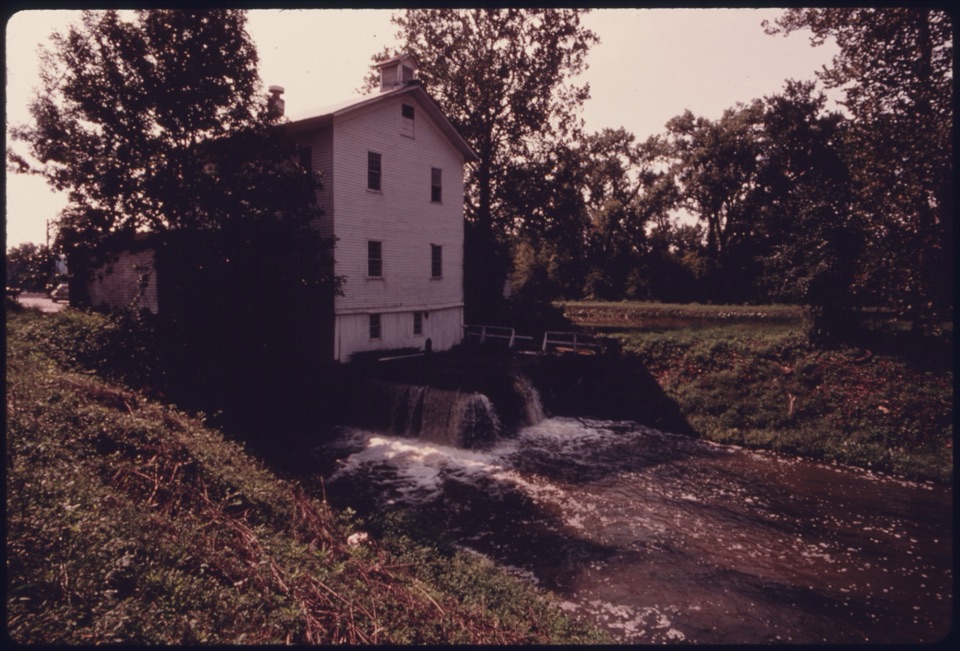 Sight · 1.5 mi awayAlexander-Wilson MillA historic canal mill, seen across the water from a Towpath stop.
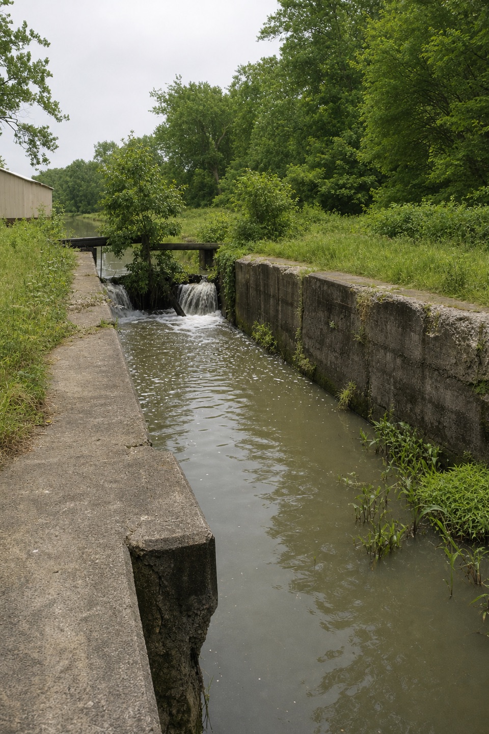 Sight · 1.5 mi awayLock 37 and Flood GateSee how a canal lock and flood gate manage water.
Parkwolf’s Cuyahoga Valley ranking

The audio tour guide for the drive, plus offline maps, trails, and wildlife heatmaps for when the signal drops.





