1 active Cuyahoga Valley alert
- ClosureCuyahoga River closure and paddling hazardsDo not paddle through the river-mile-17 closure or the woody-debris hazard upstream of Lock 39.Official details
Sight · Cuyahoga Valley National Park
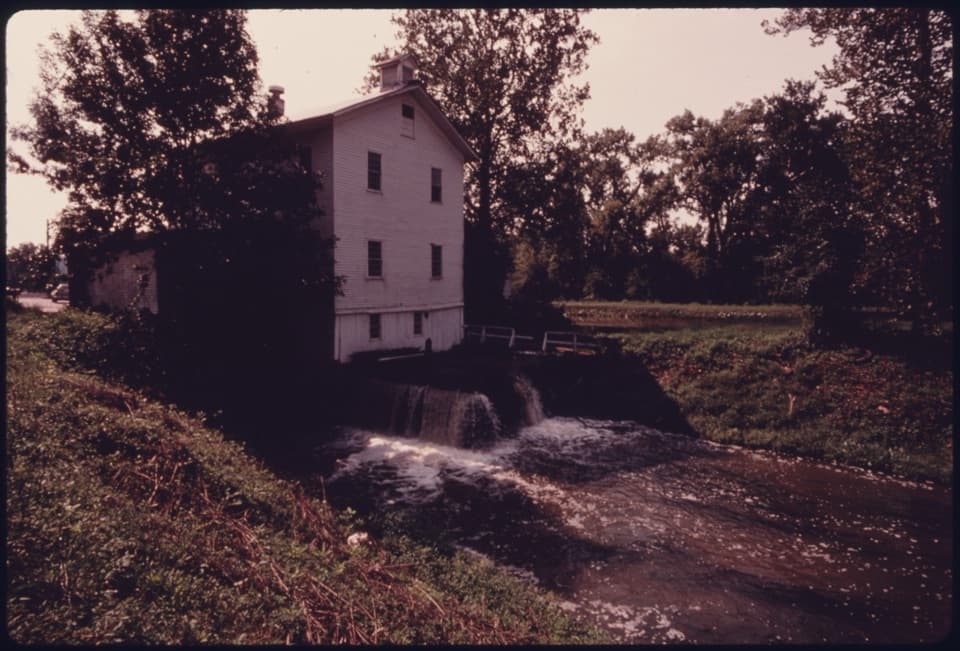
A historic canal mill, seen across the water from a Towpath stop.
Overview
Map
Plan your stop

The highest, rockiest slopes around here are a summer buffet for grizzly bears.
Cuyahoga Valley Tour Guide
Parkwolf is a GPS audio tour guide for Cuyahoga Valley National Park. As you drive, it chimes in with what’s ahead: hidden gems, upcoming stops, history, geology, and wildlife, right through your car’s speakers.
See the Cuyahoga Valley audio tourRecorded for this place
Alexander-Wilson Mill and Lock 37“You're nearing the Fitzwater Road access for Alexander-Wilson Mill and Lock Thirty-Seven. From the unmarked parking lot, walk south on the Towpath to see the mill across the canal.”
Plays as you drive up to Alexander-Wilson Mill in the Parkwolf Cuyahoga Valley Tour Guide.
More stories near here in the app
“Fantastic app with many points of information… It’s great to just turn on while you’re driving and it gives you an audio tour of the national Park. We love it!!!!”


Guide
Alexander-Wilson Mill is a multi-story grist mill from the mid-19th century beside Lock 37 on the Ohio & Erie Canal in Cuyahoga Valley. The public stop is a wayside on the Towpath Trail across the canal, where a hand-cranked audio player tells the mill’s story. If you’re already walking the Towpath and like industrial history, it makes a worthwhile short pause.
Start at the unmarked Fitzwater Parking Lot on Fitzwater Road, then follow the Towpath Trail south to the wayside. The wayside is marked wheelchair accessible, though details about the lot and connecting route are limited. The mill is viewed across the canal; no public interior access or tour is documented.
The Alexander family built the mill in the mid-1850s. A waterwheel first turned its grinding machinery, then turbines used a diverted mill run at Lock 37. The mill switched to electric motors by 1970; its original machinery survives but no longer works. The canal opened between Cleveland and Akron in 1827, giving valley farmers a route to larger grain markets.
Thomas and Emma Wilson bought the mill in 1900, and the family business continues here as a feed and farm-supply store. Its current operation sells pre-bagged feed and fertilizer. For a photo, include the mill, canal, and Lock 37 spillway together; the moving water helps explain why the mill stands here.
Wildlife
 321 sightingsBald EagleMost seen around 7 AMSighting map
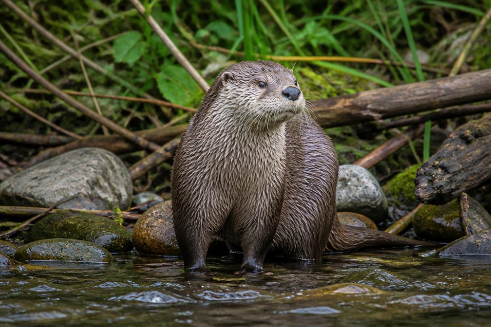 12 sightingsRiver OtterMost seen around 7 AMSighting map
 103 sightingsCoyoteMost seen around 7 PMSighting map
 251 sightingsBeaverMost seen around 8 PMSighting map
 498 sightingsWhite-tailed DeerMost seen around 6 AMSighting map
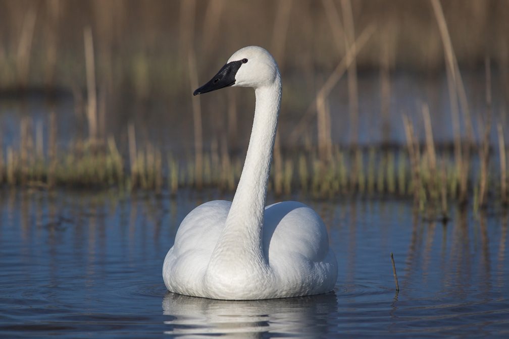 104 sightingsTrumpeter SwanMost seen around 5 PMSighting map
Sighting maps show where each species has been reported across Cuyahoga Valley. Wildlife moves, so no sighting is guaranteed.
Keep exploring
 EasyCanal Exploration Center to Tinkers Creek Aqueduct Walk1.3 mi · 45 min · 1.4 mi awayA short canal walk past Lock 38 to Tinkers Creek Aqueduct.
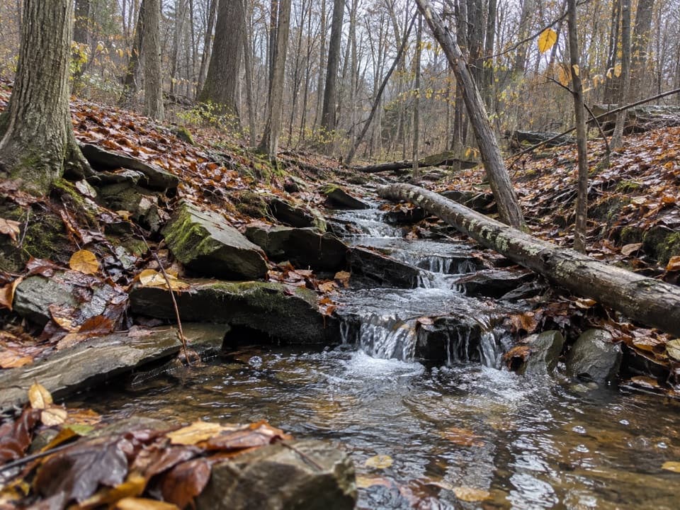 ModerateSagamore Creek Loop3.6 mi · 2 hr · 1.5 mi awayTwo seasonal falls reward a steep walk through the gorge.
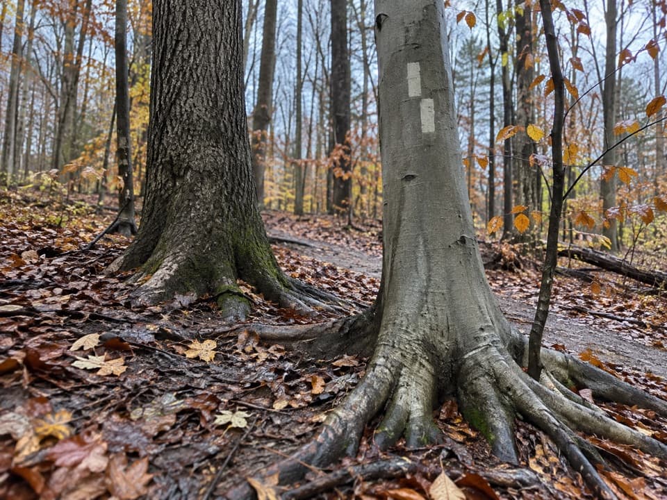 ModerateBedford Singletrack Loop11.5 mi · 5.5 hr · 1.7 mi awayA long forest circuit linked by one-way singletrack and paved paths.
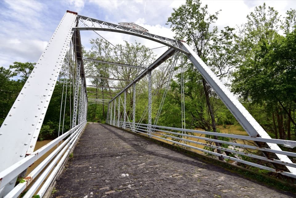 ModerateBuckeye and Towpath Loop: Station Road Bridge to Red Lock10.3 mi · 5.5 hr · 2.6 mi awayBuckeye hills and a canal-side Towpath make one varied loop.
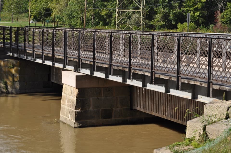
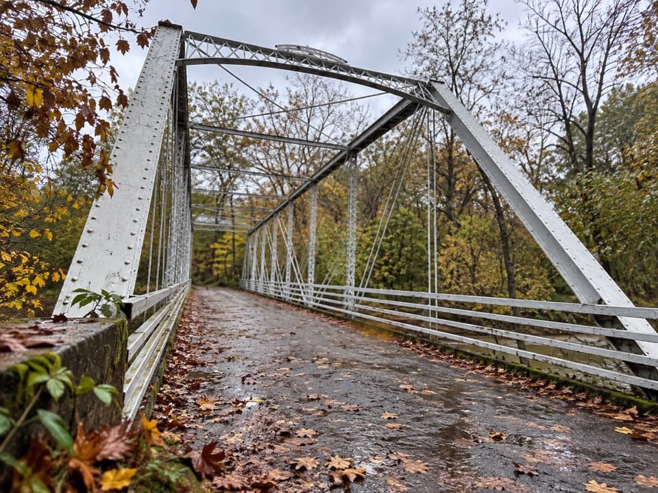 EasyStation Road Bridge to Mudcatcher Walk1.5 mi · 45 min · 2.6 mi awayA short river loop over an iron bridge and through canal history.
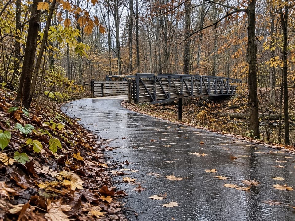 EasyHemlock Creek Trail1.7 mi · 48 min · 2.7 mi awayA paved creekside walk crosses the river to the Towpath.
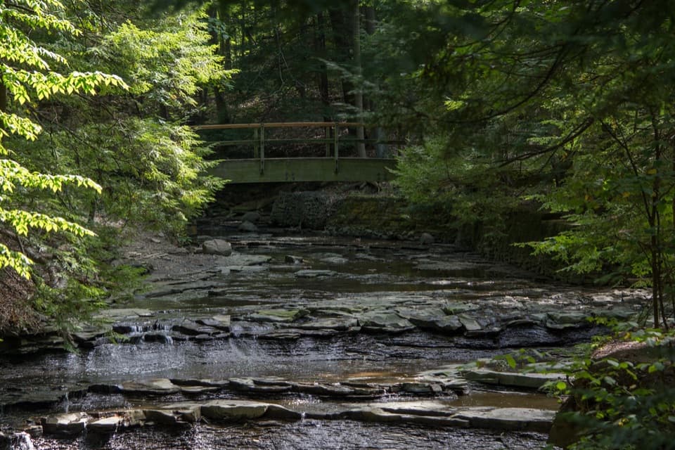 EasyBridal Veil Falls Walk0.3 mi · 18 min · 2.7 mi awayA short stairway walk to a low cascade in a wooded gorge.
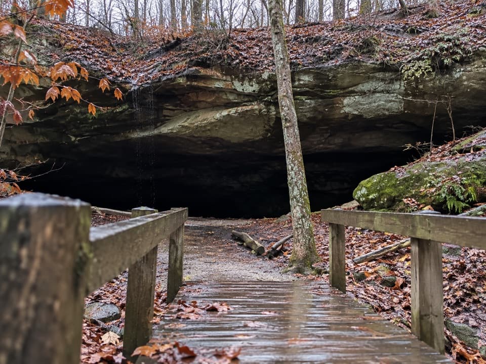 ModerateDeer Lick Loop4.2 mi · 2.5 hr · 2.8 mi awayA rolling forest loop leads to a broad sandstone overhang.
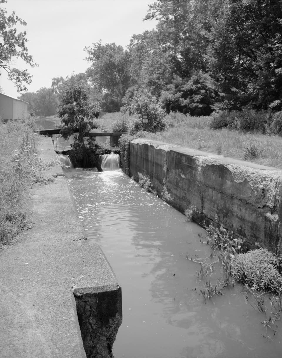 Sight · At the trailheadLock 37 and Flood GateSee how a canal lock and flood gate manage water.
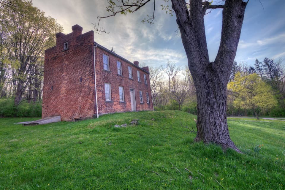 Sight · 0.3 mi awayFrazee HouseA hand-built brick house with a story tied to the old canal.
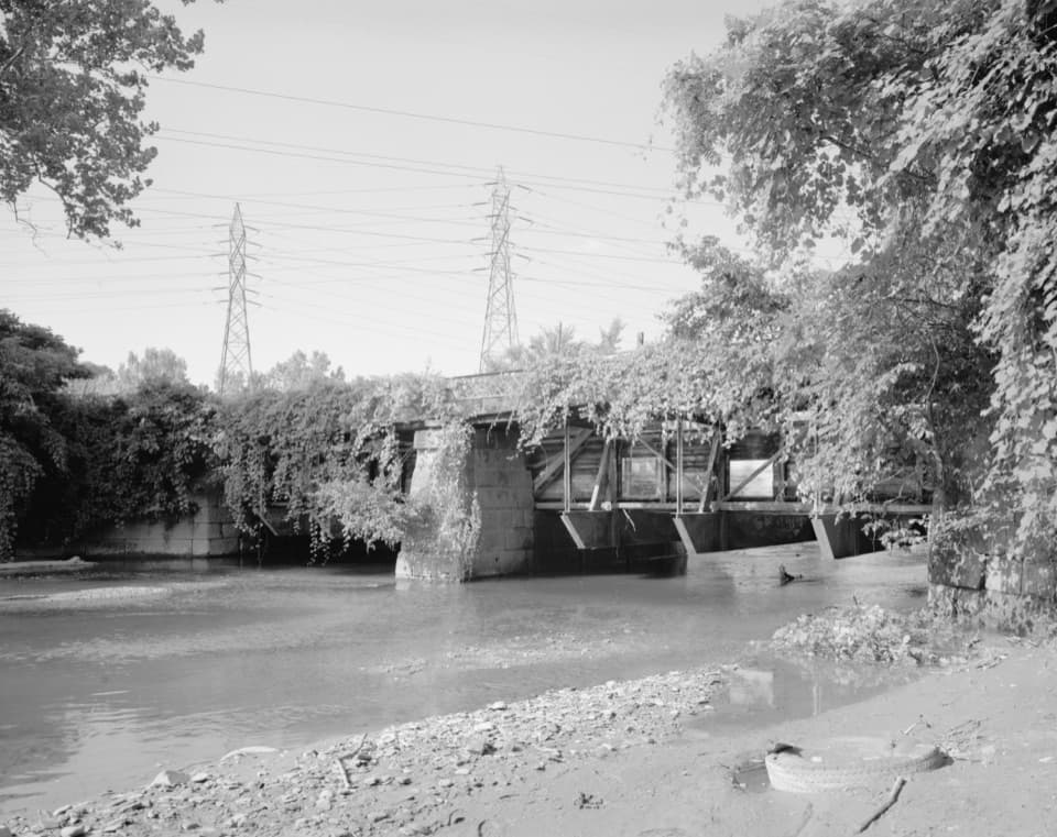 Sight · 0.9 mi awayTinkers Creek AqueductThe canal's clever workaround for carrying boats over Tinkers Creek.
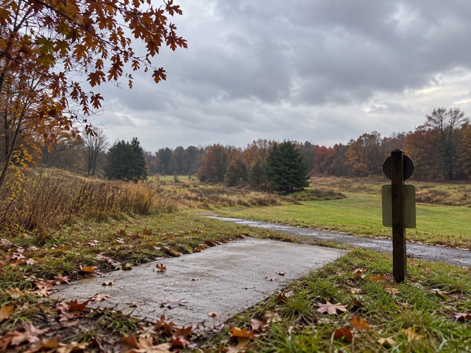 Sight · 1.1 mi awayAstorhurst Disc Golf CourseA long, hilly 18-hole round over a former golf course.
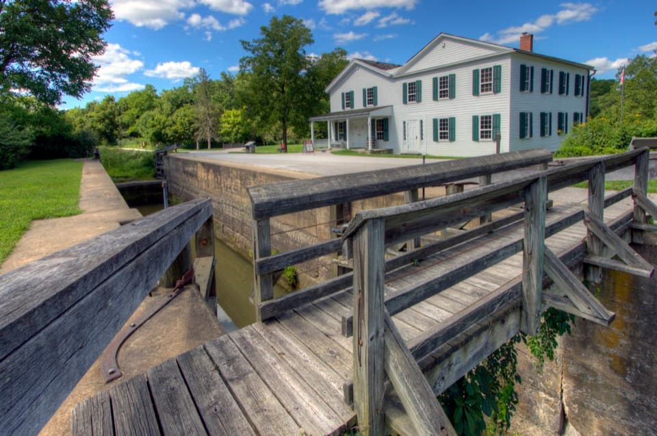 Visitor center · 1.4 mi awayCanal Exploration CenterHands-on canal history beside Lock 38 and the Towpath.
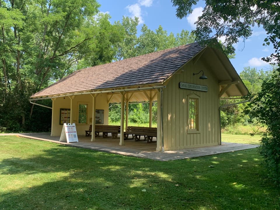 Sight · 1.5 mi awayCanal Exploration Center StationA compact rail stop links canal exhibits to the Towpath Trail.
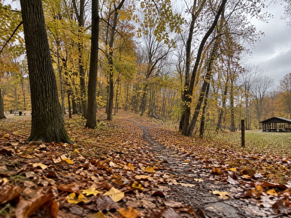 Picnic area · 1.8 mi awayHemlock Creek Picnic AreaShelter, grills and trails make this an easy picnic stop.
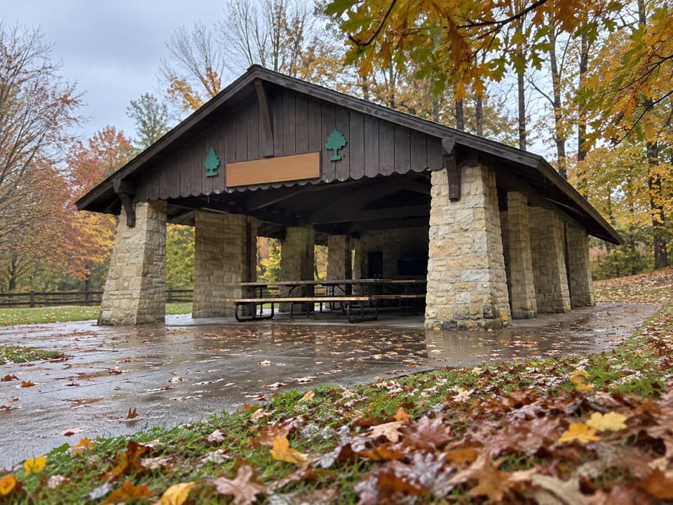 Picnic area · 1.8 mi awayHermit’s Hollow Picnic AreaA family picnic shelter with a wood-burning fireplace.
Parkwolf’s Cuyahoga Valley ranking

The audio tour guide for the drive, plus offline maps, trails, and wildlife heatmaps for when the signal drops.