Parking
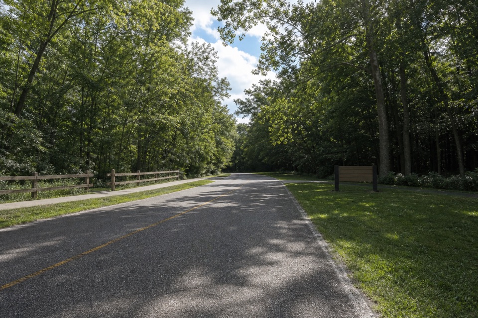
Start and finish at Station Road Bridge Trailhead on Station Road. The NPS describes ample automobile parking; accessible flush restrooms and drinking water are at the trailhead.
Cuyahoga Valley National Park, OH
Buckeye hills and a canal-side Towpath make one varied loop.
Overview
Map & elevation
Plan your hike

The highest, rockiest slopes around here are a summer buffet for grizzly bears.
Cuyahoga Valley Tour Guide
Parkwolf is a GPS audio tour guide for Cuyahoga Valley National Park. As you drive, it chimes in with what’s ahead: hidden gems, upcoming stops, history, geology, and wildlife, right through your car’s speakers.
Recorded for this trailhead
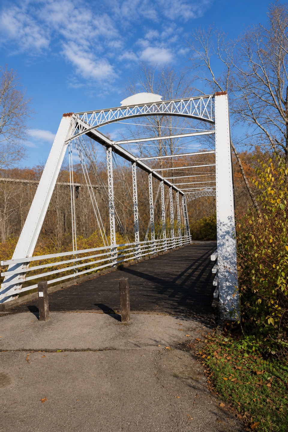
Station Road Bridge“Station Road Bridge is coming up, where a short walk onto the old iron span gives you a view of the Cuyahoga River. It once carried cars, but they moved to the separate Route Eighty-Two bridge in nineteen thirty-one.”
Plays as you drive up to this trailhead in the Parkwolf Cuyahoga Valley Tour Guide.
More stories near here in the app
“Fantastic app with many points of information… It’s great to just turn on while you’re driving and it gives you an audio tour of the national Park. We love it!!!!”


Trail guide
This closed loop leaves Station Road Bridge on the Buckeye Trail, crosses the wooded hills of Brecksville Reservation to Red Lock, then returns north on the Ohio & Erie Canal Towpath. The park’s listed loop is 10.3 miles; the complete mapped line runs about 10.9 miles, so plan for roughly eleven miles and five to six hours. The Buckeye leg gives you the hills and woodland; the Towpath is the level canal-side finish.
From Station Road Bridge, the route turns west through a chain of wooded paths and connectors before bending south and east toward Red Lock. It is not one uninterrupted footpath: keep a trail map handy where the route changes between named trails. Expect rolling climbs and dirt or gravel tread. The longer mapped line is a better planning number than a fast estimate from the level Towpath alone.
At Red Lock, join the Towpath north toward Station Road. The Station Road–Red Lock stretch is 2.5 miles one way, on a flat crushed-limestone path beside the old canal and river. Walkers share it with cyclists and other trail users, so keep an ear out and give one another room. Pets are allowed on park trails and the Towpath; keep them on a leash no longer than six feet.
Cross the wrought-iron Station Road Bridge for a clear view of the Cuyahoga River; the bridge has stood here since 1882. The area grew as a transportation crossroads linking the railway, canal, river and road. Near Red Lock, a short extension south on the Towpath reaches the Jaite mill site, where the original 1928 paper-making machine and sections of the canal prism remain.
Station Road Bridge Trailhead is the simplest start and finish: it has ample parking, flush restrooms and drinking water with a bottle-filling station. There is no food or water along the mapped loop, so fill up before leaving. If you want a flatter, shorter walk, take the Towpath from Station Road to Red Lock and return the same way, about five miles round trip.
Wildlife
 319 sightingsBald EagleMost seen around 7 AMSighting map
 12 sightingsRiver OtterMost seen around 7 AMSighting map
 103 sightingsCoyoteMost seen around 7 PMSighting map
 248 sightingsBeaverMost seen around 8 PMSighting map
 492 sightingsWhite-tailed DeerMost seen around 6 AMSighting map
 99 sightingsTrumpeter SwanMost seen around 5 PMSighting map
Sighting maps show where each species has been reported across Cuyahoga Valley. Wildlife moves, so no sighting is guaranteed.
Keep exploring
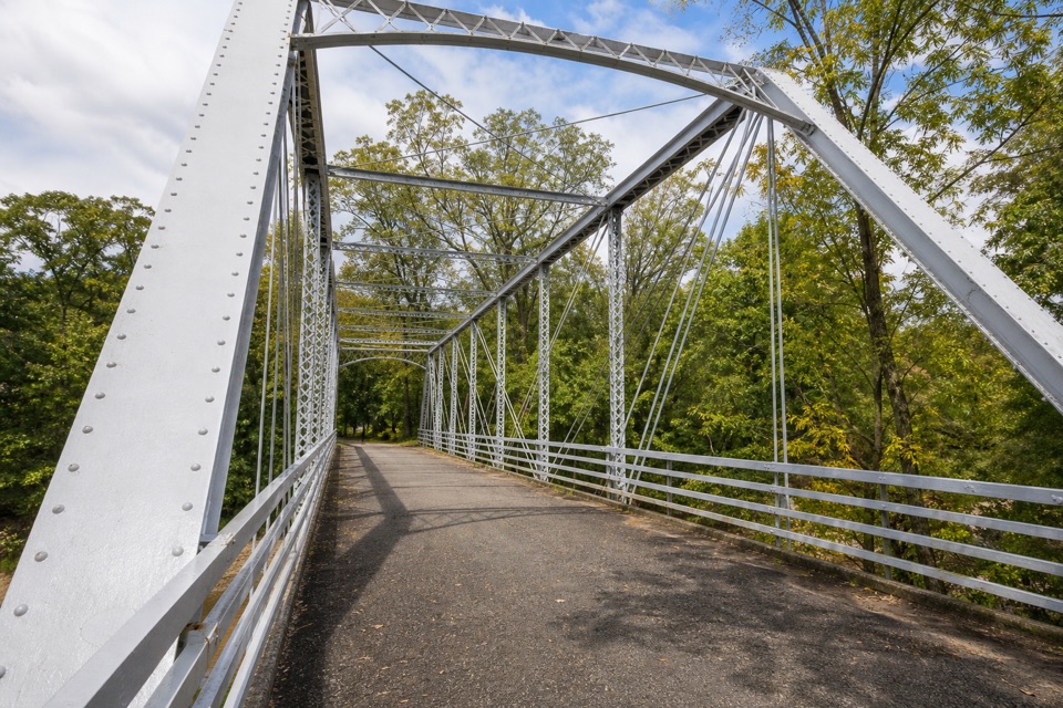 EasyStation Road Bridge to Mudcatcher Walk1.5 mi · 45 min · At the trailheadA short river loop over an iron bridge and through canal history.
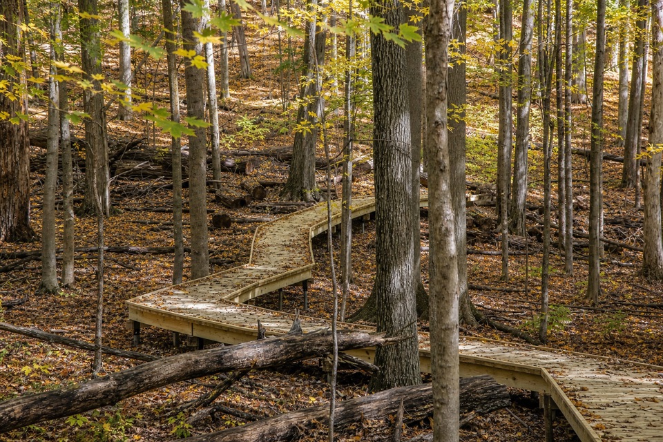 EasyMy Mountain Trail0.6 mi · 30 min · 0.6 mi awaySeven crossings and a boardwalk lead to a wooded valley overlook.
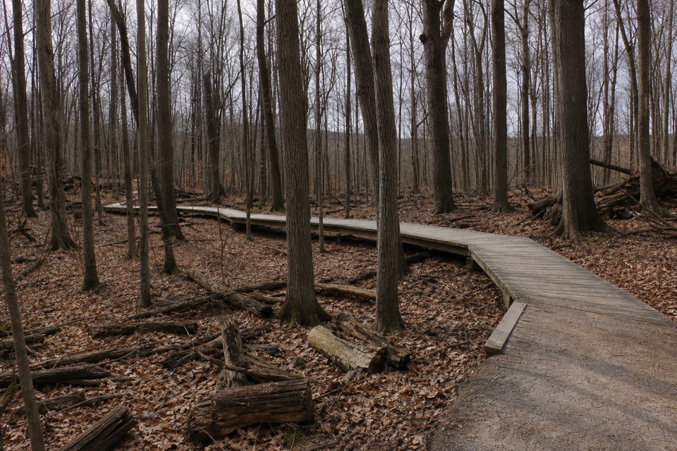 ModerateWhite Oak Trail Loop1.4 mi · 1 hr · 1 mi awayA short loop drops from the ridge into forested ravines.
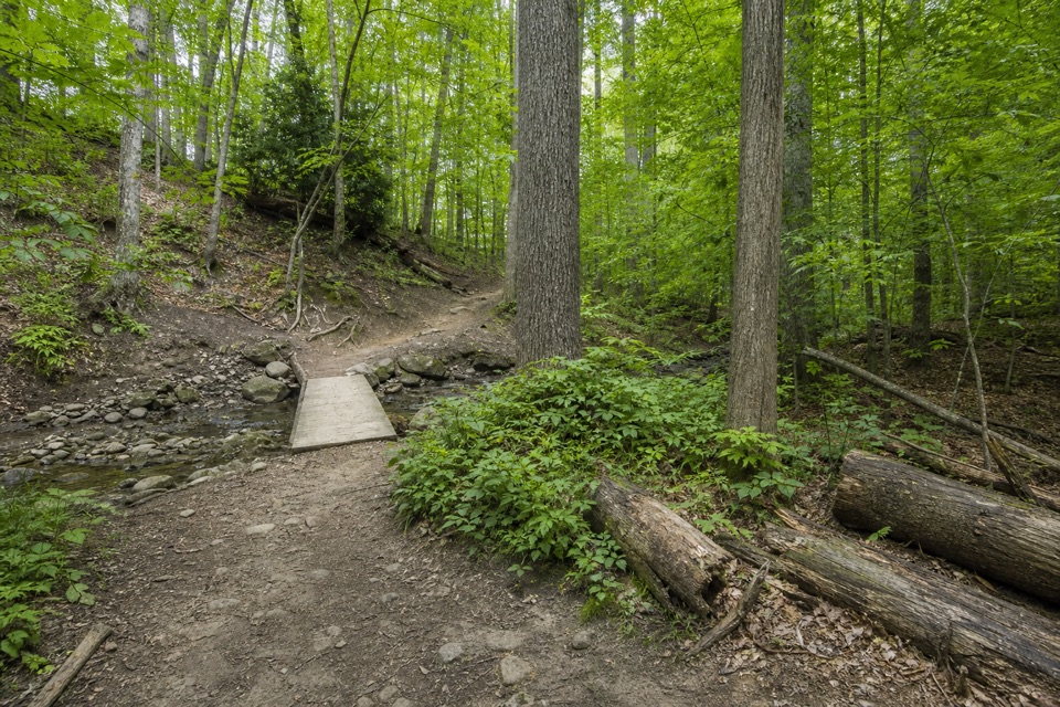 EasyWildflower Loop Trail0.8 mi · 30 min · 1.5 mi awayA short loop threading woods, spring flowers and Wallin Creek.
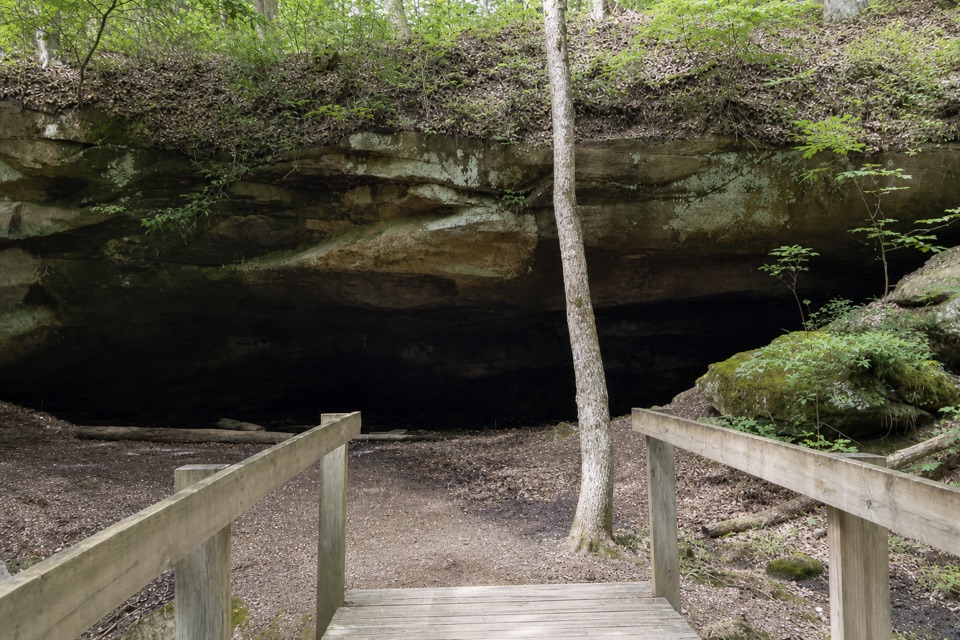 ModerateDeer Lick Loop4.2 mi · 2.5 hr · 1.5 mi awayA rolling forest loop leads to a broad sandstone overhang.
 EasyNorth Bridle Loop2.9 mi · 1.5 hr · 1.6 mi awayA short loop through the shared bridle network.
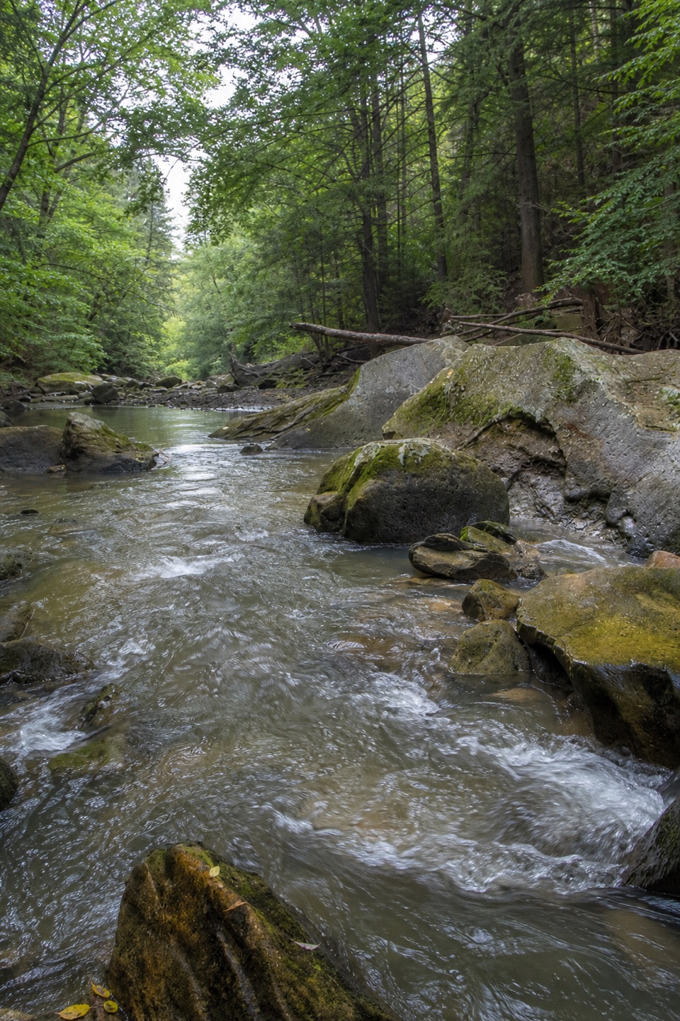 ModerateGorge Loop0.3 mi · 45 min · 1.6 mi awayGo down the stone stairs for Chippewa Creek and sandstone boulders.
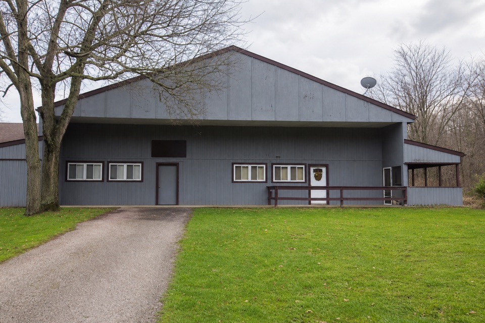 EasySouth Bridle Loop1.6 mi · 1 hr · 1.7 mi awayA short bridle loop beside Brecksville Stables.
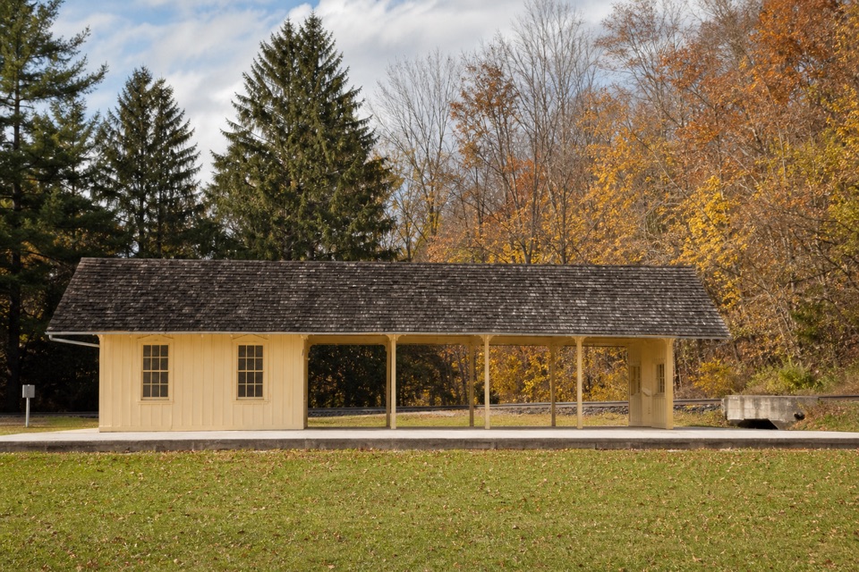 Sight · At the trailheadBrecksville StationA useful flag stop for a one-way train-and-trail outing.
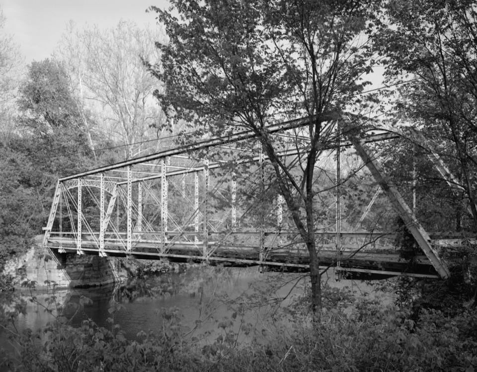 Sight · At the trailheadStation Road BridgeWalk an 1881 iron bridge and catch Route 82's arches beyond it.
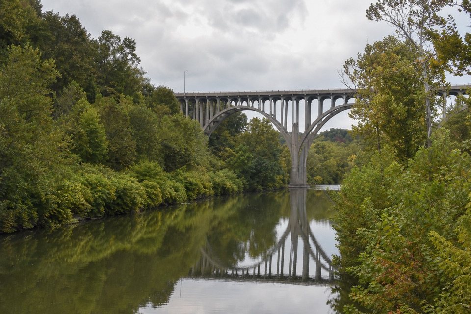 Sight · 0.3 mi awayLock 36Lock remains reveal how canal engineers kept boats moving.
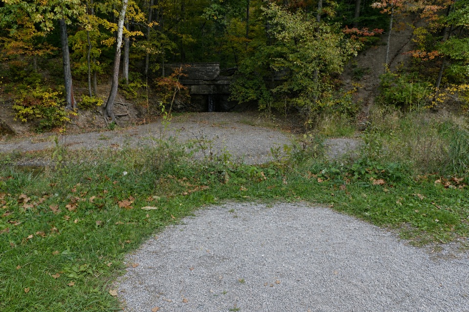 Sight · 0.4 mi awayMudcatcher FallsA small canal-side cascade built to trap hillside sediment
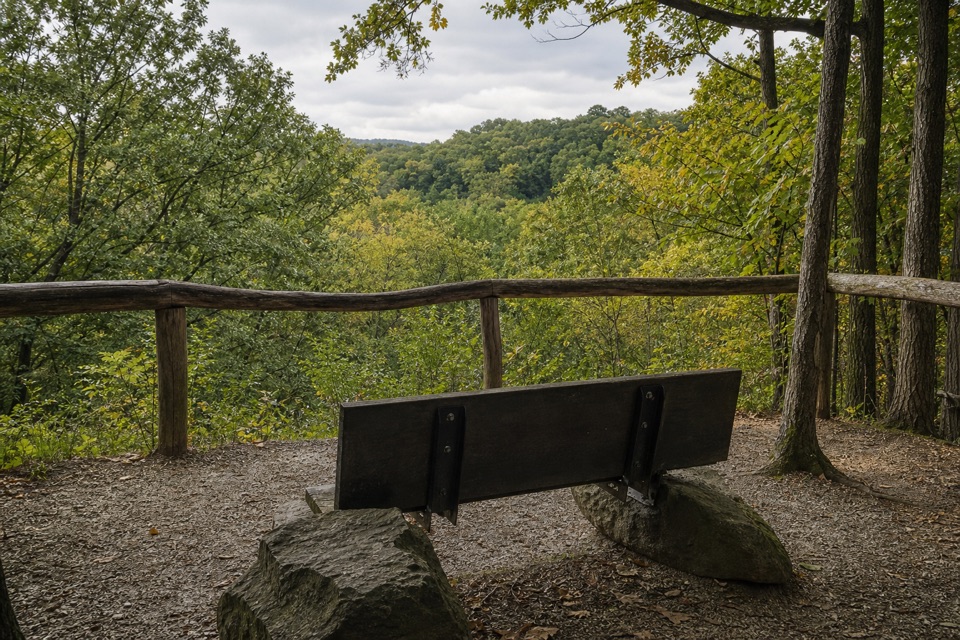 Sight · 0.4 mi awayMy Mountain OverlookA quiet bench stop above Chippewa Creek, best in leaf-off season.
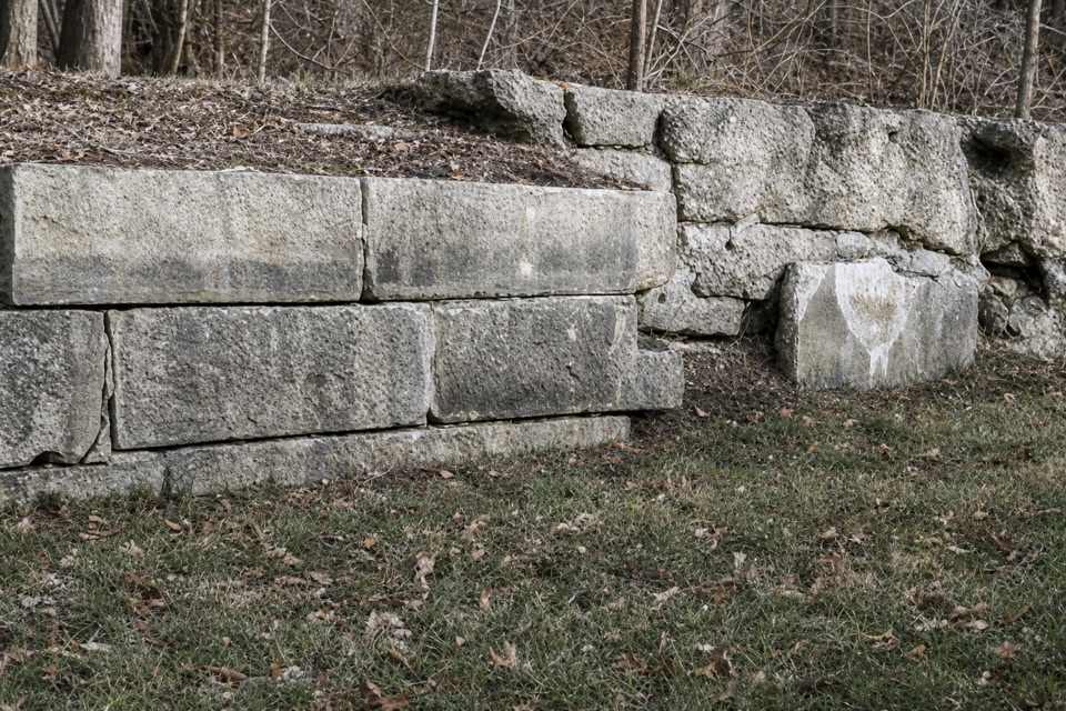 Sight · 0.7 mi awayLock 35A canal lock with a family's account of the 1913 flood.
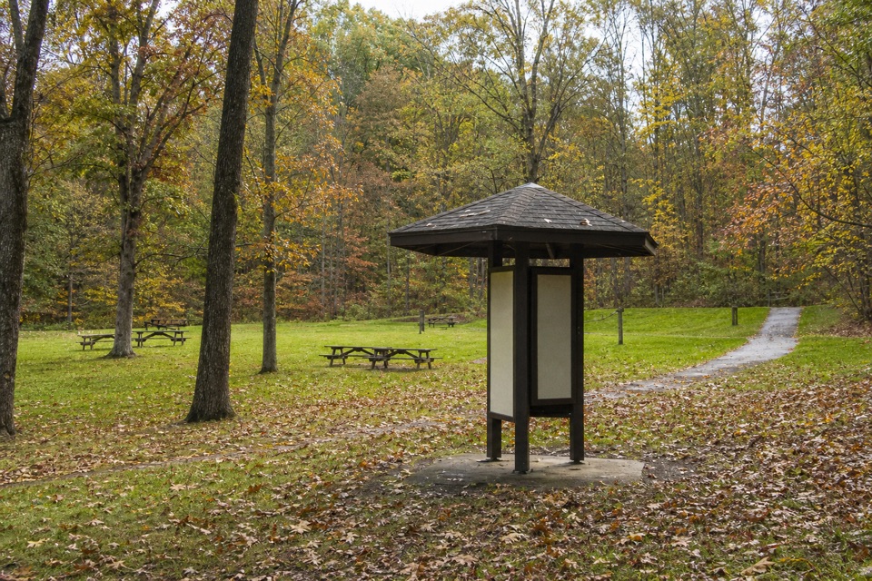 Picnic area · 0.7 mi awayPlateau Picnic AreaA shaded picnic stop with trails close by.
 Picnic area · 0.8 mi awayLower Chippewa Creek Picnic AreaA shaded picnic stop beside the creek, close to nearby walks.
Parkwolf’s Cuyahoga Valley ranking

The audio tour guide for the drive, plus offline maps, trails, and wildlife heatmaps for when the signal drops.





