Parking
Start at Dunham Trailhead (Olander Lot) on Dunham Road. The official map marks the singletrack entrance from this access, and the circuit returns to the same lot.
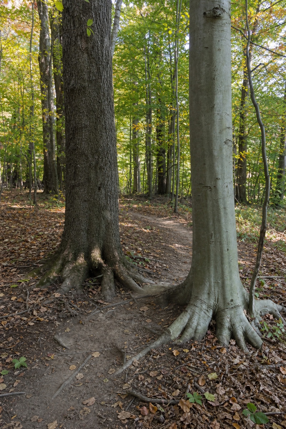
Cuyahoga Valley National Park, OH
A long forest circuit linked by one-way singletrack and paved paths.
Overview
Map & elevation
Plan your hike

The highest, rockiest slopes around here are a summer buffet for grizzly bears.
Cuyahoga Valley Tour Guide
Parkwolf is a GPS audio tour guide for Cuyahoga Valley National Park. As you drive, it chimes in with what’s ahead: hidden gems, upcoming stops, history, geology, and wildlife, right through your car’s speakers.
Recorded for this area
Sagamore Creek Loop“You're approaching the Alexander Road access for Sagamore Creek Loop, a rugged walk into a wooded gorge.”
Plays on the road 0.3 mi from the trailhead in the Parkwolf Cuyahoga Valley Tour Guide.
More stories near here in the app
“Fantastic app with many points of information… It’s great to just turn on while you’re driving and it gives you an audio tour of the national Park. We love it!!!!”


Trail guide
Bedford Singletrack is an 11.5-mile one-way circuit through the woods of Bedford Reservation. It links ten singletrack sections with paved All Purpose Trail connectors, then returns to the Dunham Trailhead. It suits a long walk or ride; this is a network loop, not a short stroll to one landmark.
Allow about five to six hours on foot. The circuit has a mix of smooth, rolling tread and rougher stretches with roots and rocks, plus frequent transitions between singletrack and paved path. It is manageable for a fit hiker, but the distance and route finding make it a moderate day out.
The singletrack is one way. Follow the posted signs and white blazes, and keep a current trail map handy as the route passes through several named sections and uses All Purpose Trail to connect them. The mapped loop starts and finishes at Dunham Trailhead. Natural-surface trails may close when wet, so check the park's trail status before setting out.
Hiking and mountain biking are allowed. Some sections meet or share bridle trails; give horses room and yield to riders. Leashed pets are allowed in Cleveland Metroparks, with a leash no longer than eight feet.
Wildlife
 319 sightingsBald EagleMost seen around 7 AMSighting map
 12 sightingsRiver OtterMost seen around 7 AMSighting map
 103 sightingsCoyoteMost seen around 7 PMSighting map
 248 sightingsBeaverMost seen around 8 PMSighting map
 492 sightingsWhite-tailed DeerMost seen around 6 AMSighting map
 99 sightingsTrumpeter SwanMost seen around 5 PMSighting map
Sighting maps show where each species has been reported across Cuyahoga Valley. Wildlife moves, so no sighting is guaranteed.
Keep exploring
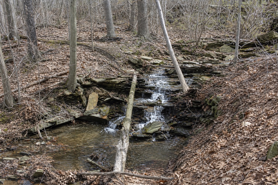 ModerateSagamore Creek Loop3.6 mi · 2 hr · 0.3 mi awayTwo seasonal falls reward a steep walk through the gorge.
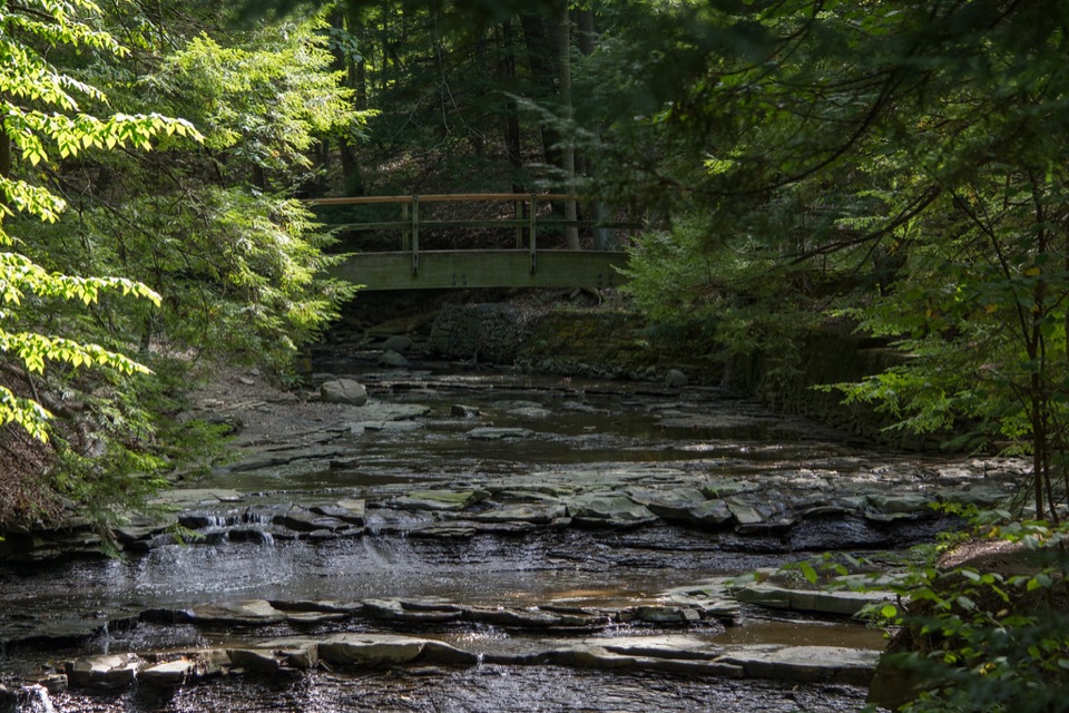 EasyBridal Veil Falls Walk0.3 mi · 18 min · 1.2 mi awayA short stairway walk to a low cascade in a wooded gorge.
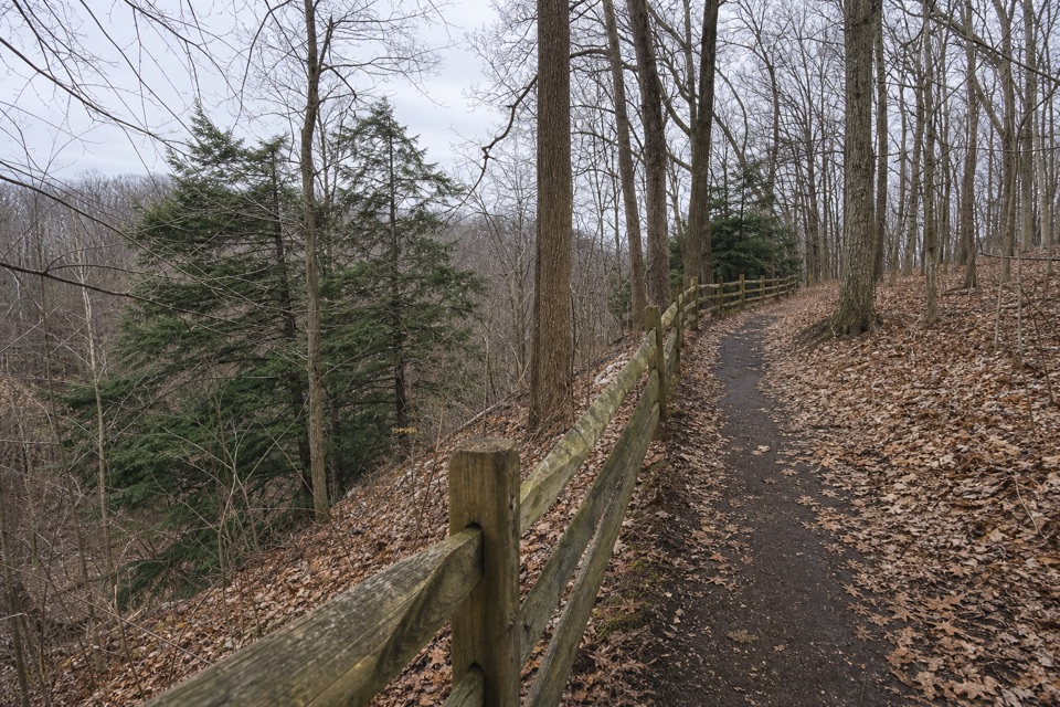 EasyEgbert Loop Trail0.3 mi · 15 min · 2.2 mi awayA short wooded path above the gorge, best walked out and back.
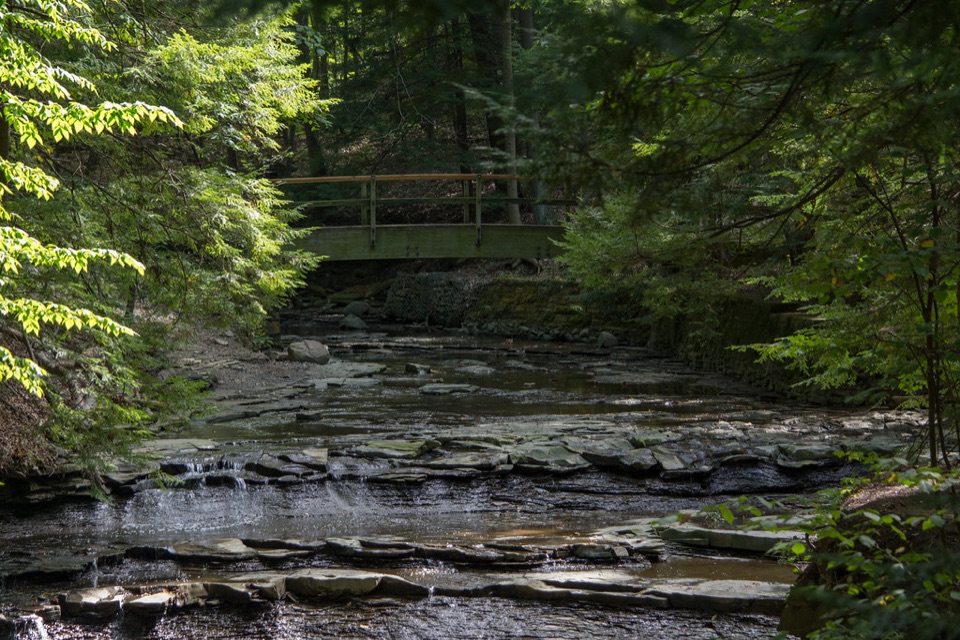 ModerateTinker's Creek Gorge Trail5.5 mi · 3 hr · 2.2 mi awayA wooded out-and-back that ends at falls and a gorge overlook.
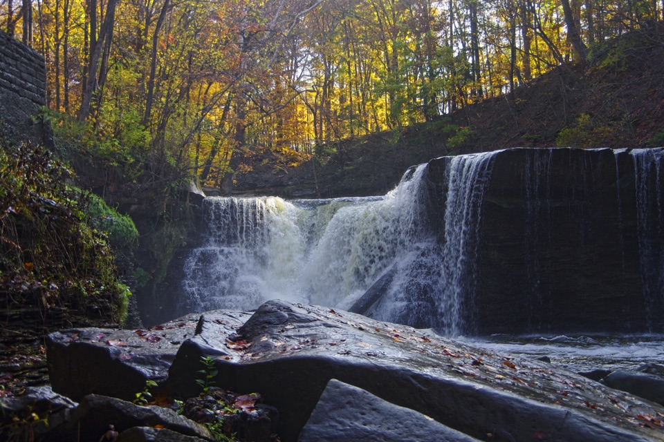 EasyViaduct Park Loop0.4 mi · 18 min · 2.4 mi awayA short gorge loop with Great Falls views and mill history.
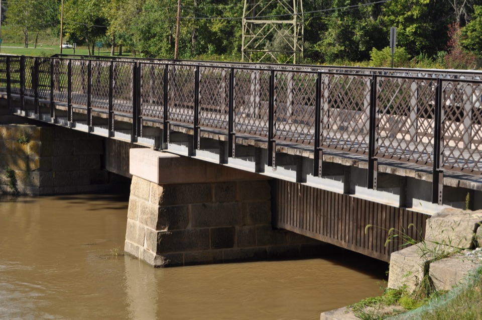 EasyCanal Exploration Center to Tinkers Creek Aqueduct Walk1.3 mi · 45 min · 2.7 mi awayA short canal walk past Lock 38 to Tinkers Creek Aqueduct.
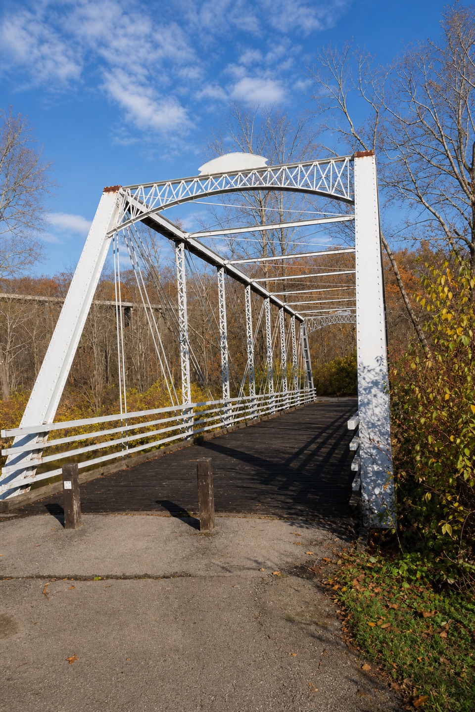 ModerateBuckeye and Towpath Loop: Station Road Bridge to Red Lock10.3 mi · 5.5 hr · 3 mi awayBuckeye hills and a canal-side Towpath make one varied loop.
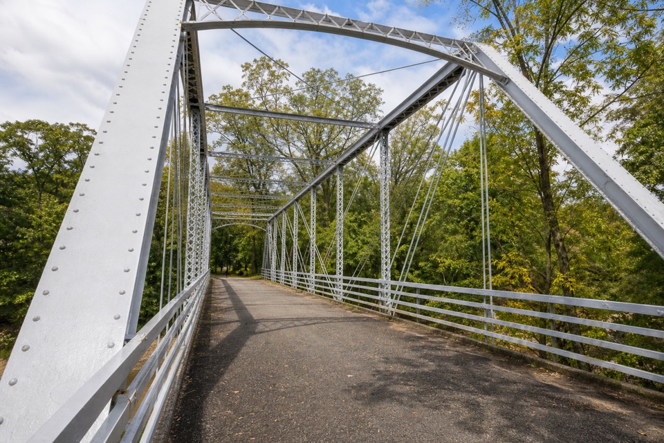 EasyStation Road Bridge to Mudcatcher Walk1.5 mi · 45 min · 3 mi awayA short river loop over an iron bridge and through canal history.
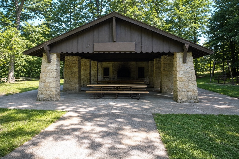 Picnic area · 1.1 mi awayHermit’s Hollow Picnic AreaA family picnic shelter with a wood-burning fireplace.
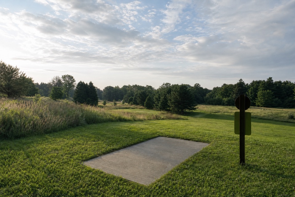 Sight · 1.2 mi awayAstorhurst Disc Golf CourseA long, hilly 18-hole round over a former golf course.Sight · 1.2 mi awayBridal Veil FallsA wooded cascade reached by boardwalk and a steep stair climb.
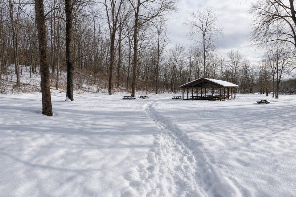 Picnic area · 1.3 mi awayHemlock Creek Picnic AreaShelter, grills and trails make this an easy picnic stop.
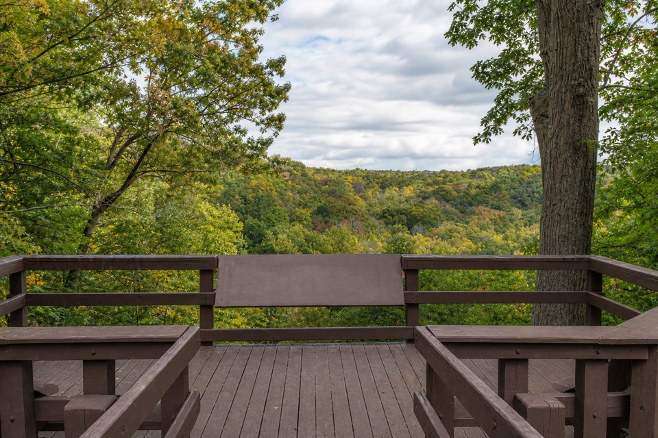 Sight · 1.3 mi awayTinker's Creek Gorge Scenic OverlookA quick gorge view, best when the leaves are down.
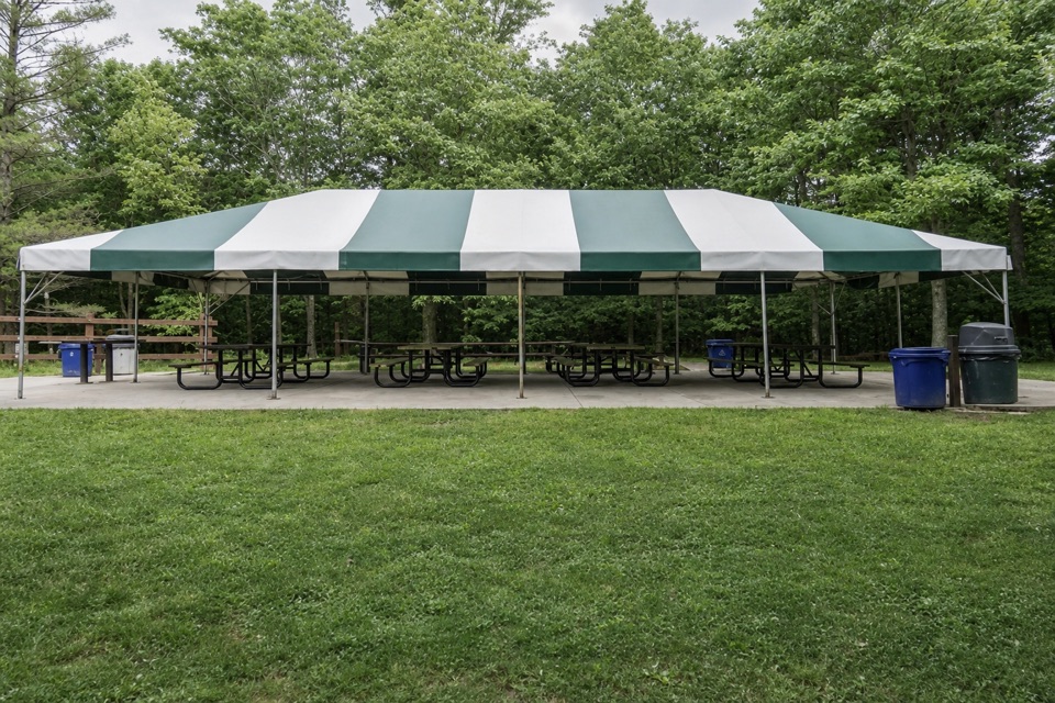 Picnic area · 1.5 mi awayLost Meadows Picnic AreaA 20-by-40-foot canopy gives group picnics room to spread out.
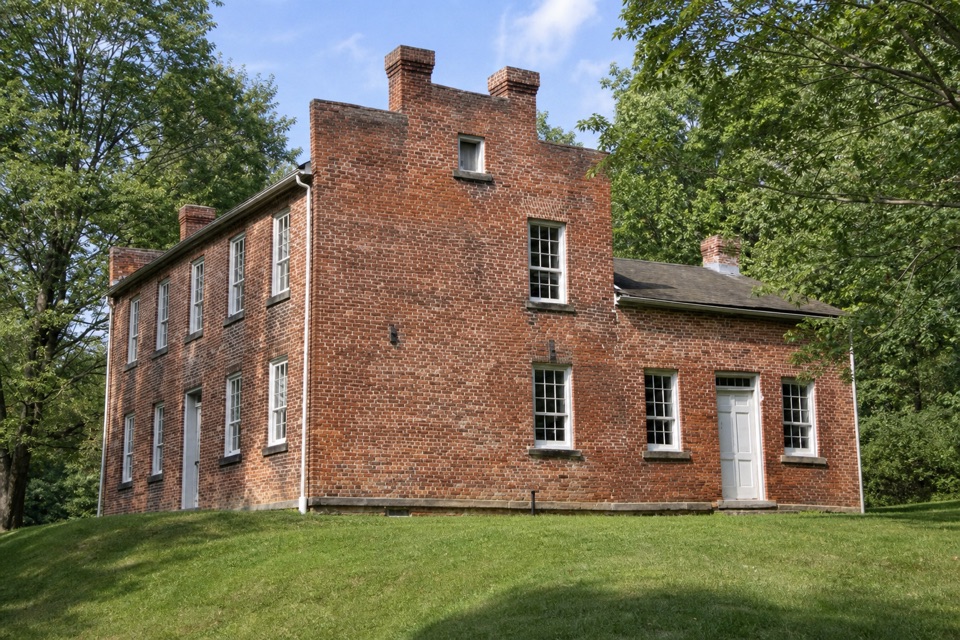 Sight · 1.6 mi awayFrazee HouseA hand-built brick house with a story tied to the old canal.
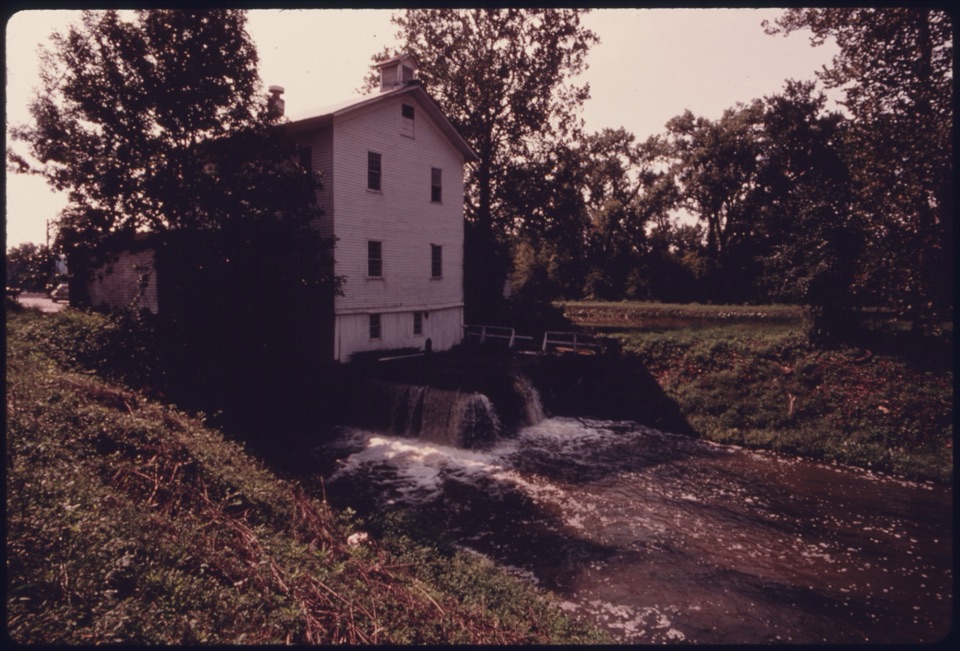 Sight · 1.7 mi awayAlexander-Wilson MillA historic canal mill, seen across the water from a Towpath stop.
Parkwolf’s Cuyahoga Valley ranking

The audio tour guide for the drive, plus offline maps, trails, and wildlife heatmaps for when the signal drops.





