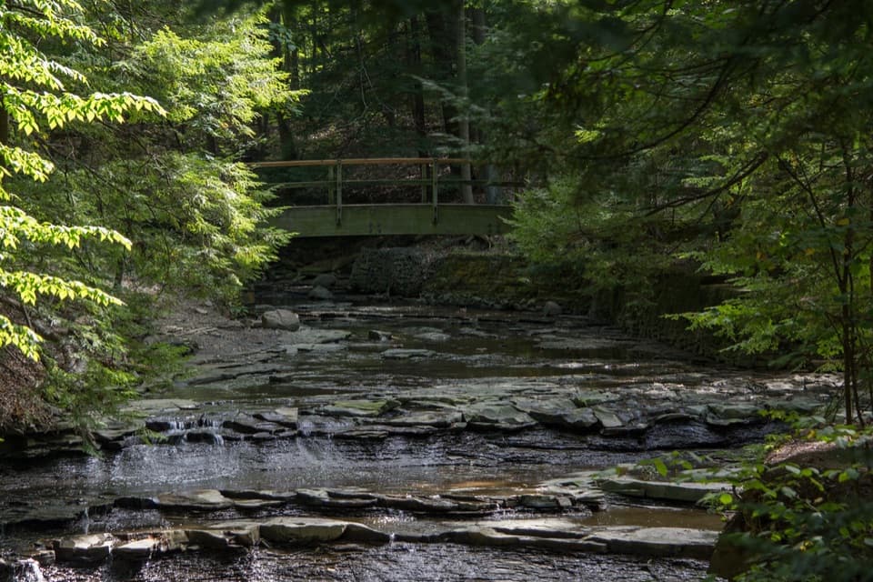
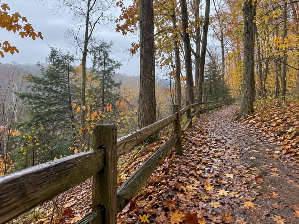
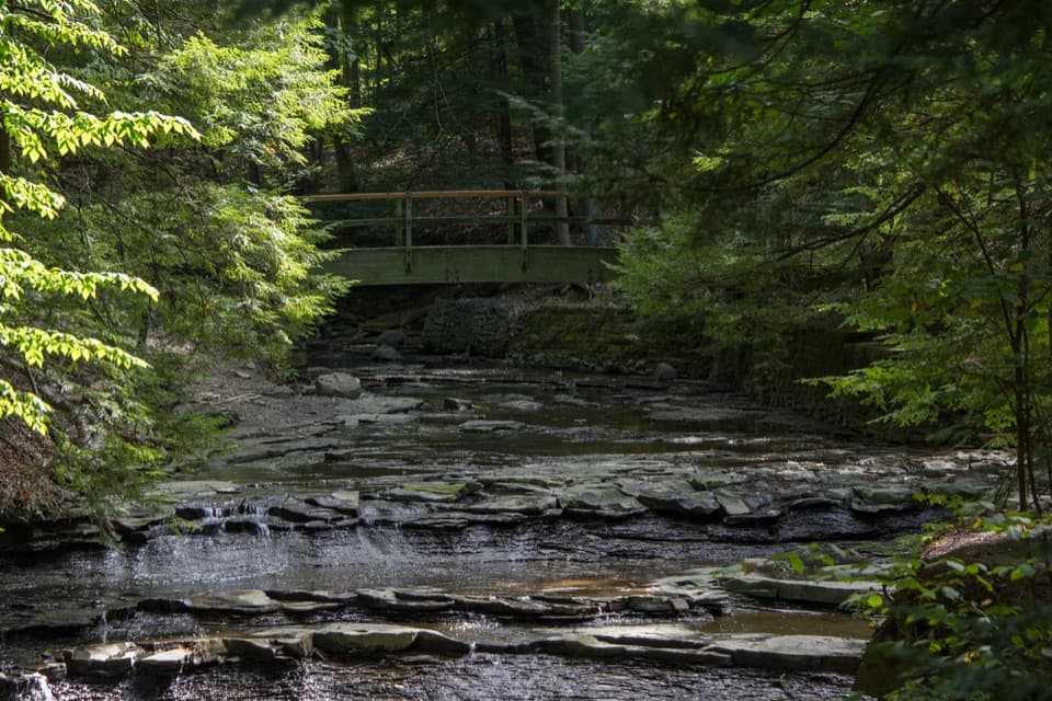
Ohio & Erie Canal Towpath Trail in Cuyahoga Valley National Park

#5 of 63 trails in Cuyahoga Valley

Cuyahoga Valley National Park, OH

Ohio & Erie Canal Towpath Trail

A long, level canal walk through locks, marshes, and river bends.

Photo: National Park Service
Length
19.8mi
Time
9hr
Elev. change
230ft
Difficulty
Moderate
  • Dogs allowed
  • High point 830 ft

Hear the audio tour

Lock 39 and the Towpath

Overview

About Ohio & Erie Canal Towpath Trail

Why go

  • Nearly level, firm trail with many access points for choosing a section.
  • Canal locks, an aqueduct, and Beaver Marsh break up the long walk.

Heads up

  • The 19.8-mile point-to-point route needs a full day and end-to-end transport.
  • Walkers share the corridor with cyclists and some horse riders.

Map & elevation

The route

Loading the Cuyahoga Valley map
Full map
Elevation600–830 ft
TrailheadLock 39 Trailhead Information41.39274, -81.62815
Keep this map with you offline in the Parkwolf app

Plan your hike

Before you go

Parking

For the full point-to-point walk, start at Lock 39 Trailhead Information and finish at Botzum Trailhead. Arrange a car at each end or a pickup; the Scenic Railroad offers one-way Towpath service when operating. Multiple intermediate trailheads let you park for a shorter section.

Safety

This is a shared-use corridor: watch for cyclists, keep right, and yield to horses. Dogs must remain on a leash six feet or shorter.

5 active Cuyahoga Valley alerts

  • ClosureTowpath Trail closed: Boston to Lock 29Mentions Towpath Trail, referenced in this guideThe Towpath Trail is closed from Boston Trailhead to Lock 29 in Peninsula during the August 24–November 20, 2026 work period.Official details
  • CautionCuyahoga River closure and paddling hazardsMentions Cuyahoga River, referenced in this guidePaddlers must portage around the active river-wide closure near river mile 17, caused by bridge demolition and construction.Official details
See all 5 alerts
A park ranger sits on a dash-mounted phone, talking, as Parkwolf’s Tour Guide plays “Army Cutworm Moths: A Grizzly Bear Buffet” on Grand Loop Road below Dunraven Pass in Yellowstone
Parkwolf Tour GuideThe highest, rockiest slopes around here are a summer buffet for grizzly bears.

Cuyahoga Valley Tour Guide

Your drive to Ohio & Erie Canal Towpath Trail, narrated.

Parkwolf is a GPS audio tour guide for Cuyahoga Valley National Park. As you drive, it chimes in with what’s ahead: hidden gems, upcoming stops, history, geology, and wildlife, right through your car’s speakers.

See the Cuyahoga Valley audio tour

Recorded for this trailhead

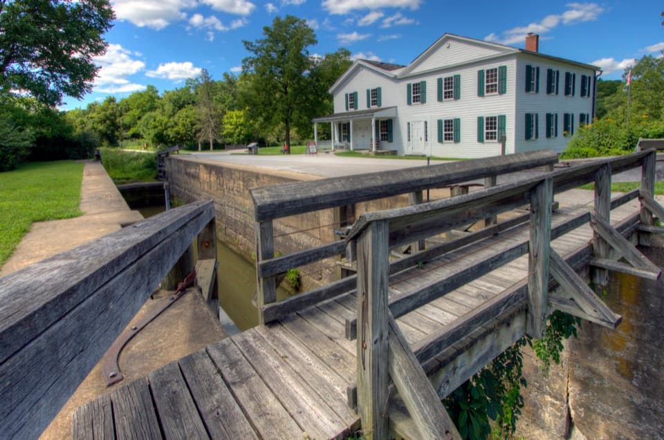
Lock 39 and the Towpath
0:00 / 0:25
“You're nearing Lock Thirty-Nine Trailhead, a starting point for a level walk along the old canal.”

Plays as you drive up to this trailhead in the Parkwolf Cuyahoga Valley Tour Guide.

More stories near here in the app

  • Rockside Station
  • Oxbow Orchard and Farm Market
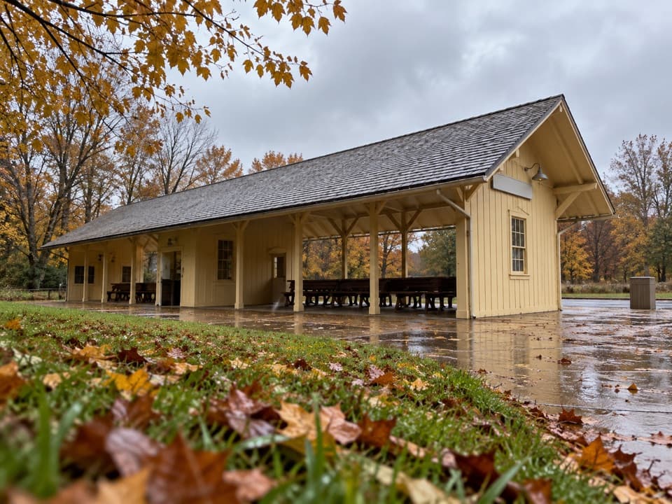
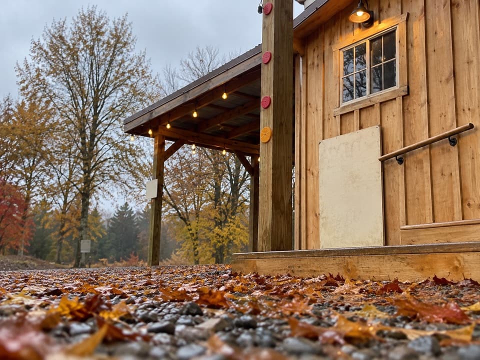
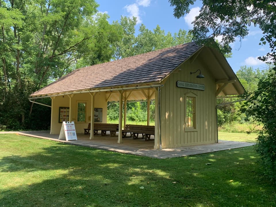
  • Canal Exploration Center
  • How Ice Splits a Cliff
  • 97 audio storiesacross Cuyahoga Valley’s roads, triggered by GPS as you drive
  • Wildlife heatmapsfor Bald Eagle, River Otter, Coyote, and 13 more
  • Works offlinemaps, 63 trails, 88 places, and audio download before you lose signal
  • CarPlay readysimple controls built for the drive
★★★★★
“Fantastic app with many points of information… It’s great to just turn on while you’re driving and it gives you an audio tour of the national Park. We love it!!!!”
JMJamesApp Store review
Download Parkwolf on the App StoreGet Parkwolf on Google Play

4.7 from 8,600+ ratings

Trail guide

Hiking Ohio & Erie Canal Towpath Trail

The full park section is a long one-way walkThe Ohio & Erie Canal Towpath Trail through Cuyahoga Valley National Park is a nearly level, 19.

The Ohio & Erie Canal Towpath Trail through Cuyahoga Valley National Park is a nearly level, 19.8-mile point-to-point walk from Lock 39 Trailhead Information to Botzum Trailhead. That figure is one way and covers the park section only; the regional Towpath continues much farther beyond both ends. Walking it end to end is a full-day outing, about nine hours with ordinary stops. The grades are gentle, but almost 20 miles on your feet is the real commitment. It is easy to choose a shorter section instead of turning the whole route into an out-and-back.

Plan for two endsFor the complete walk, start at the northern Lock 39 access and finish at Botzum to the south.

For the complete walk, start at the northern Lock 39 access and finish at Botzum to the south. Leave a car at each end or arrange a pickup. The Cuyahoga Valley Scenic Railroad offers one-way Towpath service for hikers, runners, and cyclists, but check its current schedule before building the day around it. Intermediate trailheads make shorter one-way walks possible, and you can also walk out and back from any access point. With access points spaced along the route, you can choose a section that suits your day.

Follow the canal's working corridorThe path traces the old canal towpath where it remains, with newer trail sections filling gaps…

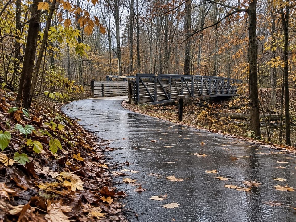
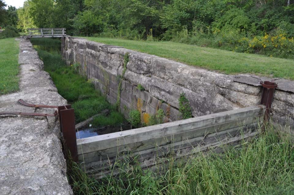
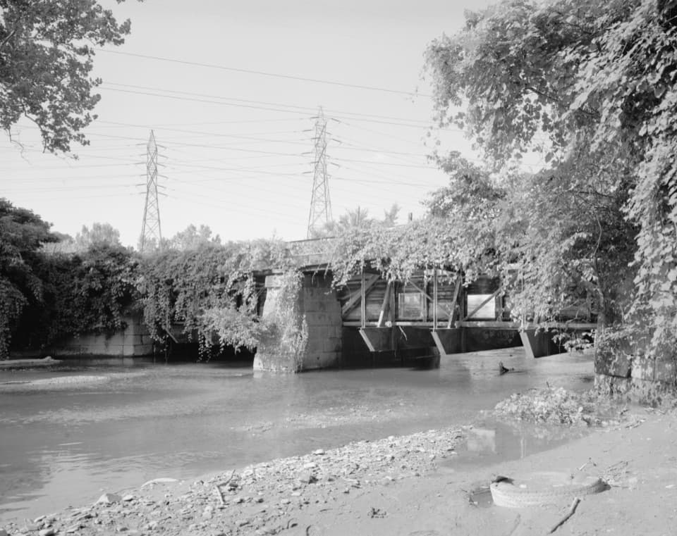
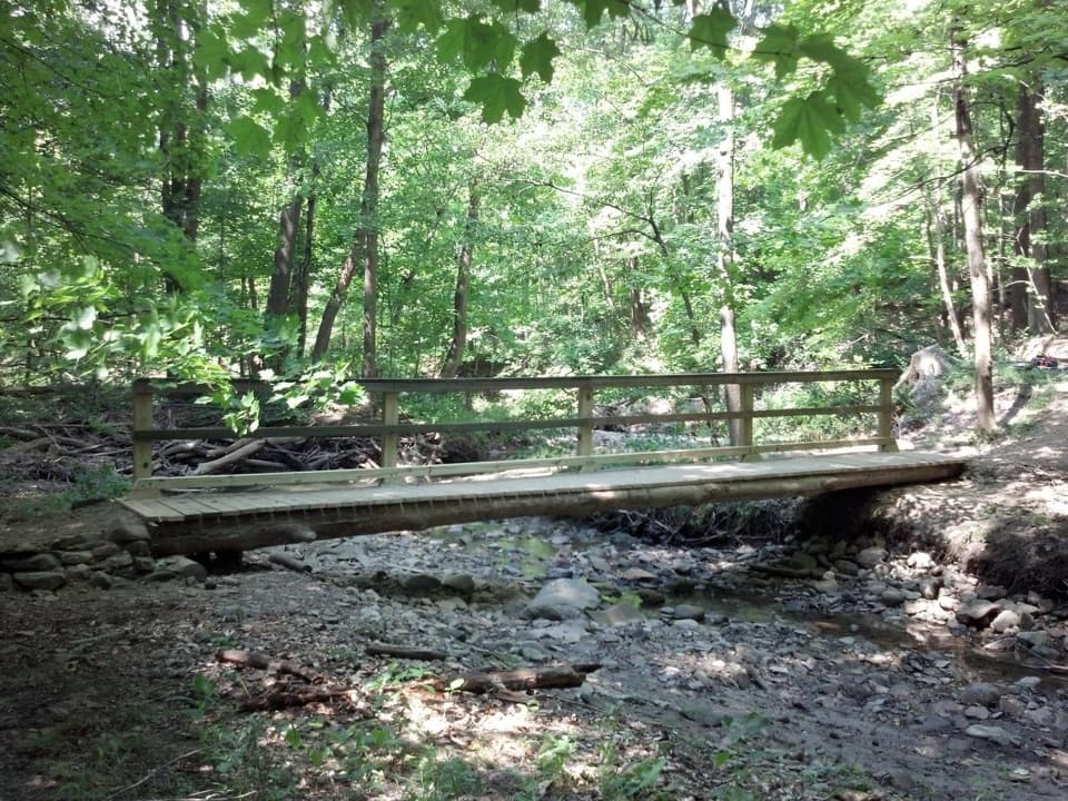
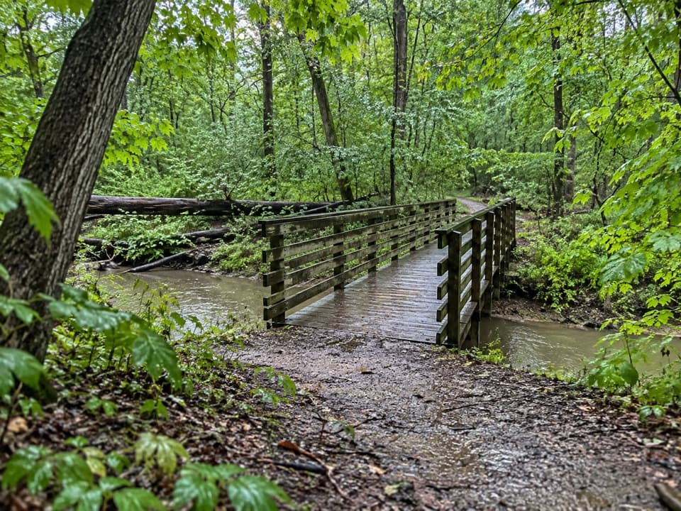
The path traces the old canal towpath where it remains, with newer trail sections filling gaps where time erased the original line. From 1825 to 1832, the Ohio & Erie Canal connected Lake Erie at Cleveland with the Ohio River at Portsmouth. Mules hauled boats along this route from 1827 until 1913, carrying Ohio farm goods toward eastern markets. Today the firm, mostly level path alternates among paved sections, packed stone, bridges, and boardwalks. The canal and its ruins keep the historic route visible even when the waterway itself is gone.

Locks and water crossings explain the engineeringAt Lock 39, look for the remains of a waste weir, which released excess water from a canal kept…

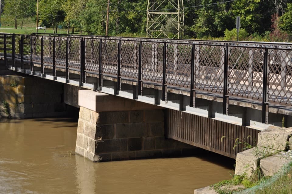
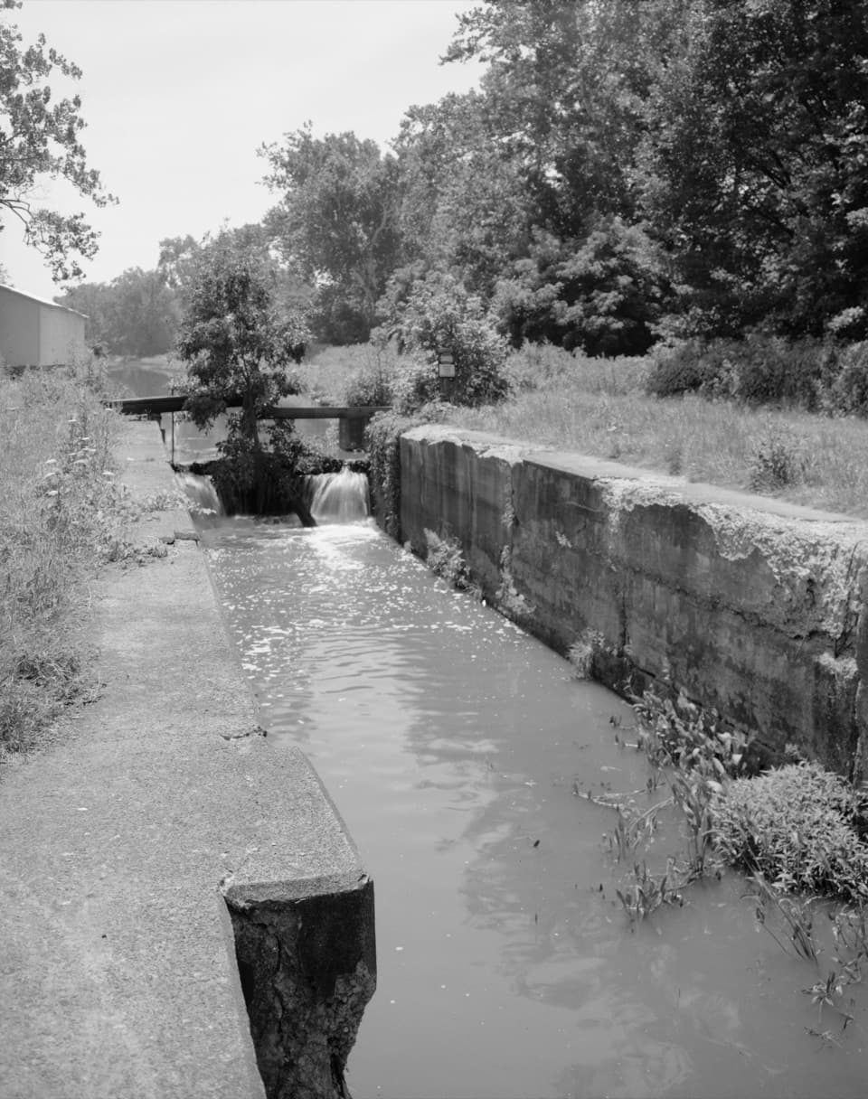
At Lock 39, look for the remains of a waste weir, which released excess water from a canal kept about four feet deep. Farther south, the Canal Exploration Center sits beside reconstructed Lock 38; the nearby Tinkers Creek Aqueduct carried canal water over the creek rather than sending boats down into the valley. The mill across the canal used waterpower to grind grain until 1970, making it another reminder that this was working country. At Lock 36, exhibits explain how removal of two historic dams in 2020 returned that stretch of the Cuyahoga River to free flow, with water now sent into the canal by the Pinery Feeder.

Pause at Beaver MarshNear Ira Trailhead, the towpath reaches the roughly 70-acre Beaver Marsh and becomes a…

Near Ira Trailhead, the towpath reaches the roughly 70-acre Beaver Marsh and becomes a boardwalk through wetland. A west-facing platform gives you a place to stop and watch without leaving the established path. The marsh grew from former farmland and an auto salvage yard into habitat after cleanup and the return of beavers. More than 50 bird species nest here in a typical year, and the mix of nesting birds, spring migrants, and fall waterfowl changes with the seasons. This section can be busy with cyclists as well as people stopping to look around.

Expect other trail users and scattered servicesWalkers, runners, and cyclists share the towpath, and horses use some sections; keep right and…

Walkers, runners, and cyclists share the towpath, and horses use some sections; keep right and yield to horses. Dogs are allowed on a leash no longer than six feet. Restrooms, benches, maps, and picnic tables are available at selected access points, not continuously along the trail. Boston Store has refreshments and porch seating near the Boston section, so it works as a break rather than a dependable service for the whole route.

A good shorter optionFor a much smaller taste of the canal, start at Canal Exploration Center and walk out to…

For a much smaller taste of the canal, start at Canal Exploration Center and walk out to Tinkers Creek Aqueduct and back, about one mile round trip. It is level, has benches, and still gives you a lock, the old canal line, and the aqueduct in one easy outing. The longer Towpath rewards time and curiosity, but the route's many access points make it simple to choose only the stretch that fits your day.

Wildlife

Wildlife in Cuyahoga Valley

All Cuyahoga Valley wildlife maps

Sighting maps show where each species has been reported across Cuyahoga Valley. Wildlife moves, so no sighting is guaranteed.

Keep exploring

Near Ohio & Erie Canal Towpath Trail

See it all on the map

Trails that start nearby

Places near the trailhead

Parkwolf’s Cuyahoga Valley ranking

Top-rated trails in Cuyahoga Valley

All 63 trails
  1. 1Ledges TrailModerate · 1.8 mi
  2. 2Brandywine Gorge LoopModerate · 1.4 mi
  3. 3Blue Hen Falls TrailModerate · 3 mi
  4. 4Beaver Marsh WalkEasy · 0.6 mi
  5. 6Stanford TrailModerate · 3.5 mi
  6. 7Salt Run TrailModerate · 3.3 mi

Take Parkwolf to Cuyahoga Valley.

The audio tour guide for the drive, plus offline maps, trails, and wildlife heatmaps for when the signal drops.

4.7 from 8,600+ ratings

Download Parkwolf on the App StoreGet Parkwolf on Google Play