Parking
Use the Station Road Bridge Trailhead parking lot at 9141 Riverview Road in Brecksville. Start at the information kiosk by the bridge; the nearby Brecksville Station amenities are a separate stop.
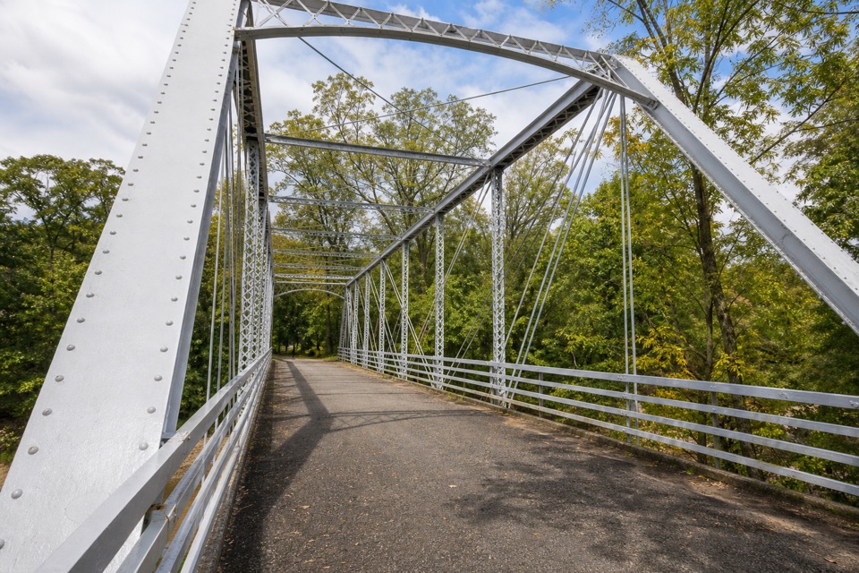
Cuyahoga Valley National Park, OH
A short river loop over an iron bridge and through canal history.
Overview
Map & elevation
Plan your hike

The highest, rockiest slopes around here are a summer buffet for grizzly bears.
Cuyahoga Valley Tour Guide
Parkwolf is a GPS audio tour guide for Cuyahoga Valley National Park. As you drive, it chimes in with what’s ahead: hidden gems, upcoming stops, history, geology, and wildlife, right through your car’s speakers.
Recorded for this trailhead
Station Road Bridge“Station Road Bridge is coming up, where a short walk onto the old iron span gives you a view of the Cuyahoga River. It once carried cars, but they moved to the separate Route Eighty-Two bridge in nineteen thirty-one.”
Plays as you drive up to this trailhead in the Parkwolf Cuyahoga Valley Tour Guide.
More stories near here in the app
“Fantastic app with many points of information… It’s great to just turn on while you’re driving and it gives you an audio tour of the national Park. We love it!!!!”


Trail guide
This is an approximately 1.5-mile loop from the Station Road Bridge Trailhead kiosk. It crosses the historic iron bridge, follows a connector to the Towpath, detours to the former dams, then continues north to Mudcatcher before turning back. Allow about 30–60 minutes. It is one of the park’s short accessible Towpath walks; no route-specific grade or elevation figure is published.
From the kiosk, cross the bridge and take the connector to the Towpath. Turn left, then take the first left to the river area where two dams were removed. Rejoin the main trail and continue north past the Lock 36 and Mudcatcher panels. At the start of the open field, turn around and return south along the Towpath to the bridge and trailhead. In bald-eagle nesting season, look across the river from the field for the nest; wildlife activity varies.
The Towpath is mostly compacted crushed limestone, though the connector and dam-removal detour have mixed surfaces. The trail can become muddy or flood after heavy rain, especially in spring; snow and ice are not cleared. The path is shared with cyclists. Leashed pets are allowed on the Towpath with a leash no longer than six feet. Restrooms, benches and drinking water are at nearby Brecksville Station, separate from the route.
Brecksville Station opened with the Valley Railway in 1880, and this wrought-iron bridge followed in 1882. The walk’s short side loop passes the site of two removed dams: the wooden Pinery Feeder Dam, built in 1827 for the canal, and the concrete Brecksville Diversion Dam, built downstream in 1952. Both came out in 2020 to restore freer river flow.
Wildlife
 319 sightingsBald EagleMost seen around 7 AMSighting map
 12 sightingsRiver OtterMost seen around 7 AMSighting map
 103 sightingsCoyoteMost seen around 7 PMSighting map
 248 sightingsBeaverMost seen around 8 PMSighting map
 492 sightingsWhite-tailed DeerMost seen around 6 AMSighting map
 99 sightingsTrumpeter SwanMost seen around 5 PMSighting map
Sighting maps show where each species has been reported across Cuyahoga Valley. Wildlife moves, so no sighting is guaranteed.
Keep exploring
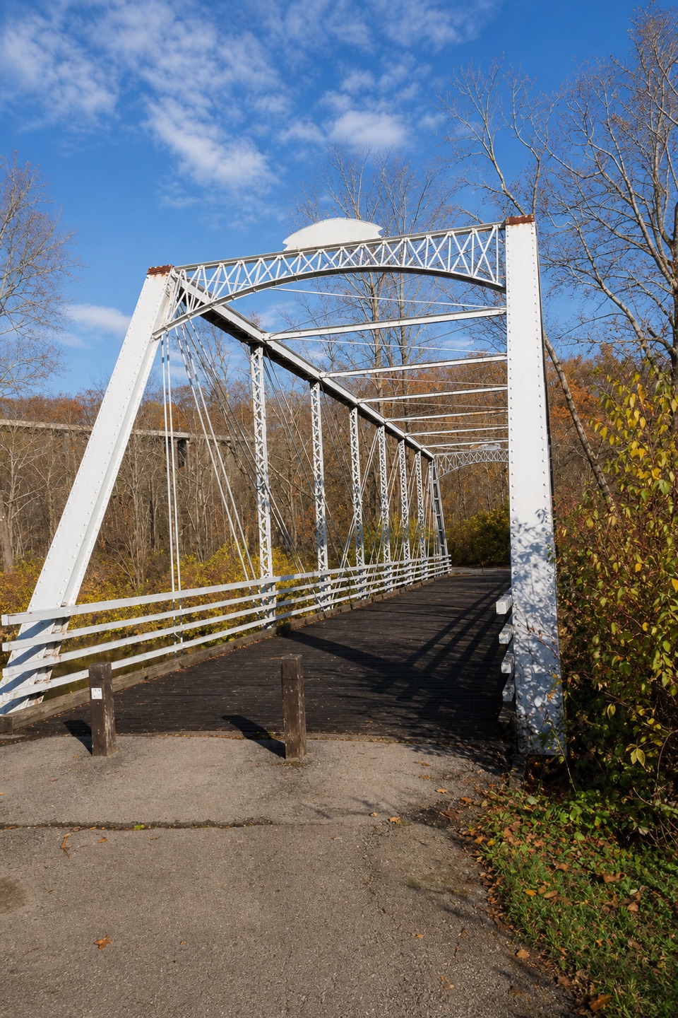 ModerateBuckeye and Towpath Loop: Station Road Bridge to Red Lock10.3 mi · 5.5 hr · At the trailheadBuckeye hills and a canal-side Towpath make one varied loop.
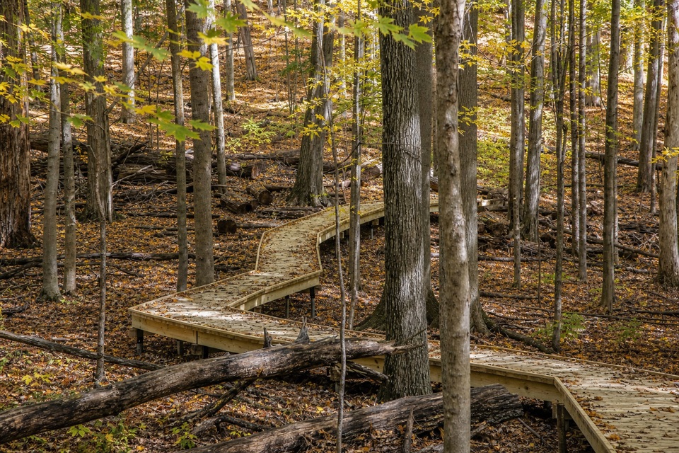 EasyMy Mountain Trail0.6 mi · 30 min · 0.6 mi awaySeven crossings and a boardwalk lead to a wooded valley overlook.
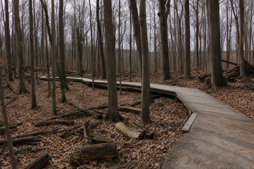 ModerateWhite Oak Trail Loop1.4 mi · 1 hr · 1 mi awayA short loop drops from the ridge into forested ravines.
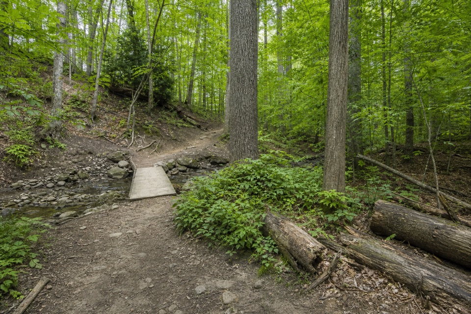 EasyWildflower Loop Trail0.8 mi · 30 min · 1.5 mi awayA short loop threading woods, spring flowers and Wallin Creek.
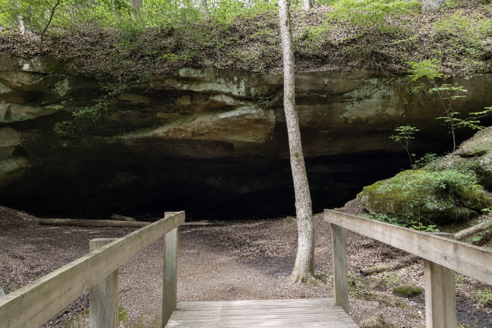 ModerateDeer Lick Loop4.2 mi · 2.5 hr · 1.5 mi awayA rolling forest loop leads to a broad sandstone overhang.
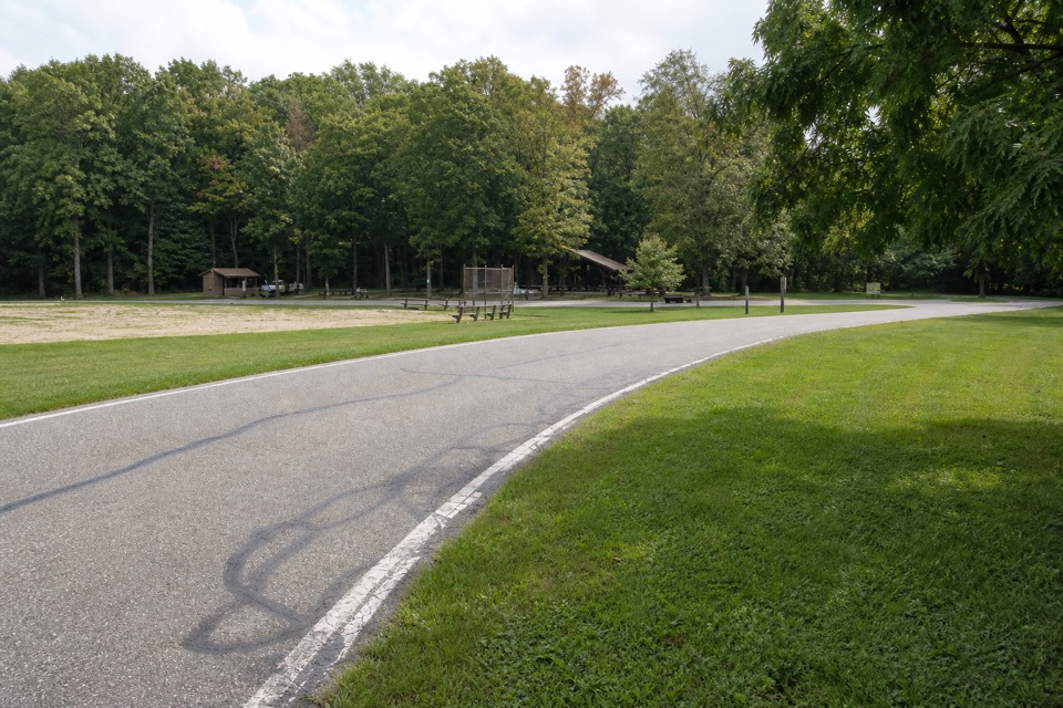 EasyNorth Bridle Loop2.9 mi · 1.5 hr · 1.6 mi awayA short loop through the shared bridle network.
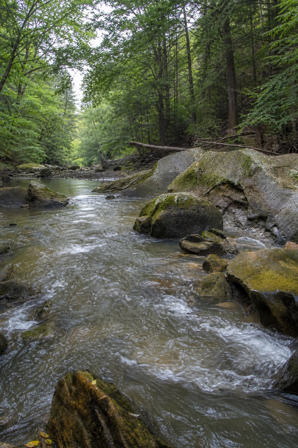 ModerateGorge Loop0.3 mi · 45 min · 1.6 mi awayGo down the stone stairs for Chippewa Creek and sandstone boulders.
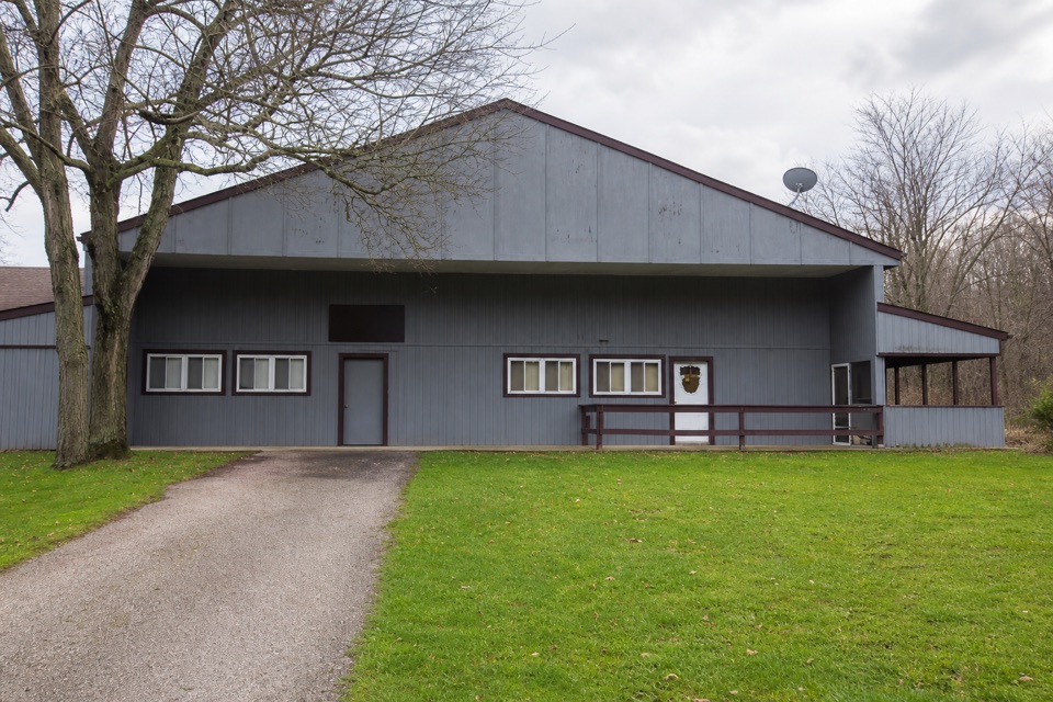 EasySouth Bridle Loop1.6 mi · 1 hr · 1.7 mi awayA short bridle loop beside Brecksville Stables.
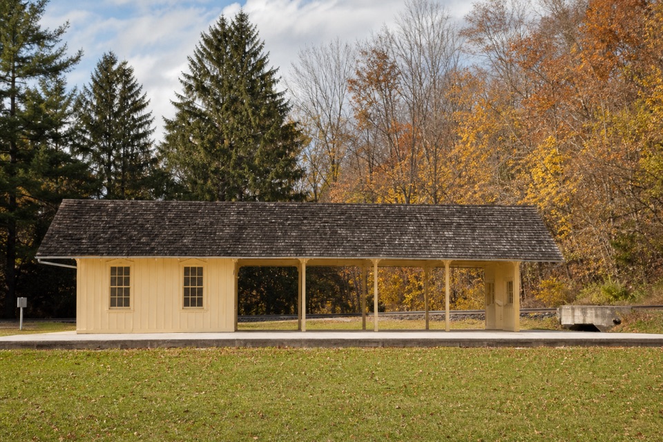 Sight · At the trailheadBrecksville StationA useful flag stop for a one-way train-and-trail outing.
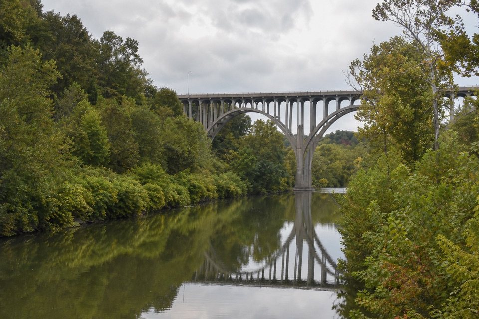
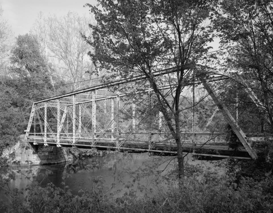 Sight · At the trailheadStation Road BridgeWalk an 1881 iron bridge and catch Route 82's arches beyond it.
 Sight · 0.3 mi awayLock 36Lock remains reveal how canal engineers kept boats moving.
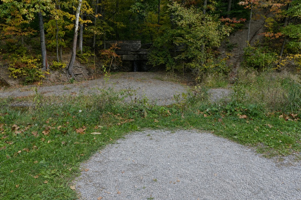 Sight · 0.4 mi awayMudcatcher FallsA small canal-side cascade built to trap hillside sediment
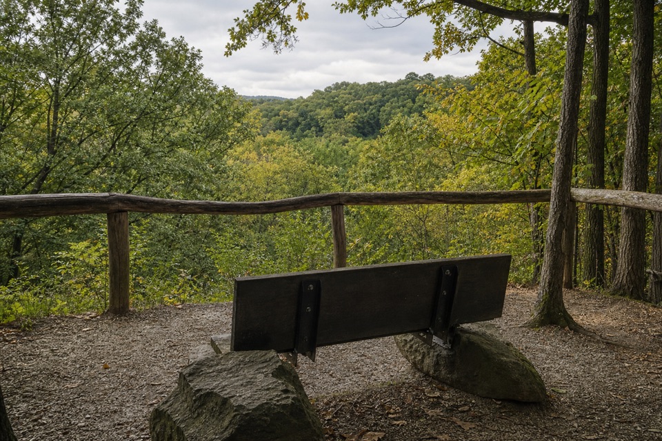 Sight · 0.4 mi awayMy Mountain OverlookA quiet bench stop above Chippewa Creek, best in leaf-off season.
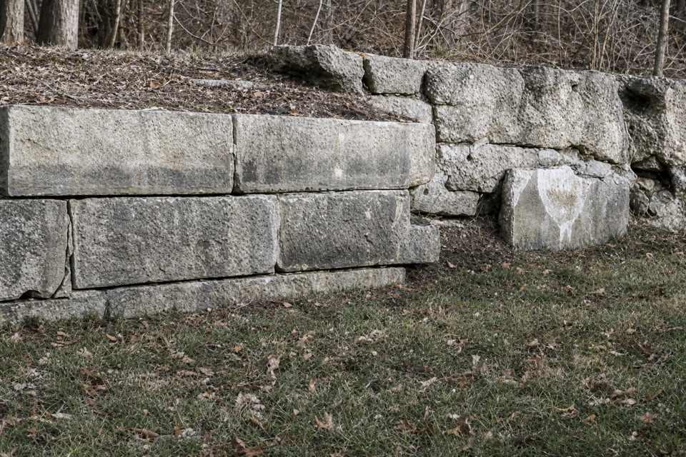 Sight · 0.7 mi awayLock 35A canal lock with a family's account of the 1913 flood.
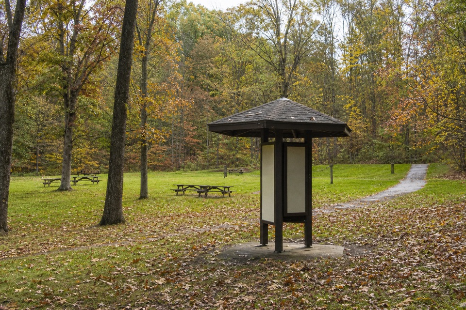 Picnic area · 0.7 mi awayPlateau Picnic AreaA shaded picnic stop with trails close by.
 Picnic area · 0.8 mi awayLower Chippewa Creek Picnic AreaA shaded picnic stop beside the creek, close to nearby walks.
Parkwolf’s Cuyahoga Valley ranking

The audio tour guide for the drive, plus offline maps, trails, and wildlife heatmaps for when the signal drops.





