Parking
Waterfall car park at Lydford Gorge; parking is free. Three accessible spaces are listed, long-vehicle spaces are limited, caravans are unsuitable, and overnight parking is not allowed.
Dartmoor National Park
A short railway cutting walk, with a steeper woodland way back.
Overview
Map & elevation
Plan your hike

The highest, rockiest slopes around here are a summer buffet for grizzly bears.
Dartmoor Tour Guide
Parkwolf is a GPS audio tour guide for Dartmoor National Park. As you drive, it chimes in with what’s ahead: hidden gems, upcoming stops, history, geology, and wildlife, right through your car’s speakers.
Recorded for this trailhead
Whitelady Waterfall from the Waterfall Entrance“You're approaching Lydford Gorge's Waterfall entrance, where the walk descends to the thirty-metre Whitelady Waterfall.”
Plays as you drive up to this trailhead in the Parkwolf Dartmoor Tour Guide.
More stories near here in the app
“Fantastic app with many points of information… It’s great to just turn on while you’re driving and it gives you an audio tour of the national Park. We love it!!!!”


Trail guide
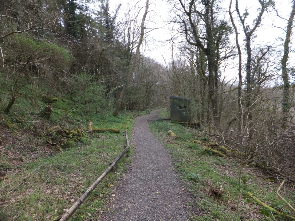
Lydford Gorge Railway Path is a 1-mile (1.6 km) loop from the Waterfall entrance, along a disused Great Western Railway line to the bird hide and back through woodland. Allow about 30 minutes. It’s a short, gentler choice than the separate Waterfall Trail.
From the picnic area, take the gated path, follow the sharp right bend and keep right at the junction. The old railway path is mostly level after its initial slope. It passes a wild pond before entering deep rock cuttings, where water drips down the faces for much of the year. For a clear gorge photo, look right before the trees have their full canopy. Continue to the bird hide and old railway building, then retrace the short spur and take the woodland return. The fence posts are old rails; the railway reached Lydford in 1865. For an easier outing, turn back at the bird hide and retrace the path. The woodland return is steep, narrow and uneven.
Access is through the National Trust gorge entrance as part of a Lydford Gorge visit. The free car park has three accessible spaces, limited long-vehicle parking and no overnight parking; caravans are unsuitable. The tea-room serves takeaway drinks, snacks and bakes, and toilets are in the car-park building. Dogs are welcome on a short lead and must stay out of the river. The woodland return isn’t suitable for buggies, pushchairs or bikes.
Wildlife
 32 sightingsWestern Roe DeerMost seen around 7 AMSighting map
 10 sightingsRed FoxMost seen around 7 PMSighting map
 37 sightingsEuropean RabbitMost seen around 7 AMSighting map
 19 sightingsGrey HeronMost seen around 7 PMSighting map
 34 sightingsGreat Spotted WoodpeckerMost seen around 7 AMSighting map
 20 sightingsCommon RavenMost seen around 8 AMSighting map
Sighting maps show where each species has been reported across Dartmoor. Wildlife moves, so no sighting is guaranteed.
Keep exploring
 ModerateLydford Gorge Waterfall Trail2.8 km · 1.5 hr · At the trailheadA steep gorge circuit to a 30-metre waterfall.
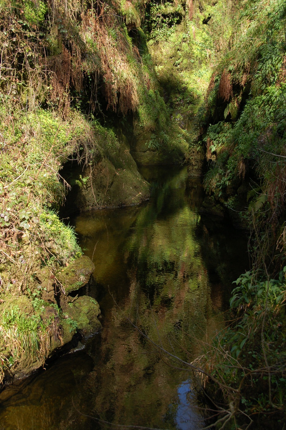 ModerateDevil's Cauldron Trail1.3 km · 40 min · 1.4 km awayA short steep walk to the roaring whirlpool under the gorge walls
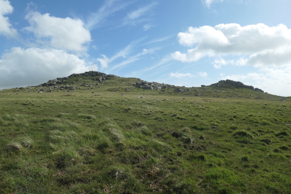 ModerateTavy Cleave and Hare Tor Circular7.1 km · 3 hr · 3.7 km awayA boulder-filled river gorge, boggy moor and two tors in one loop.
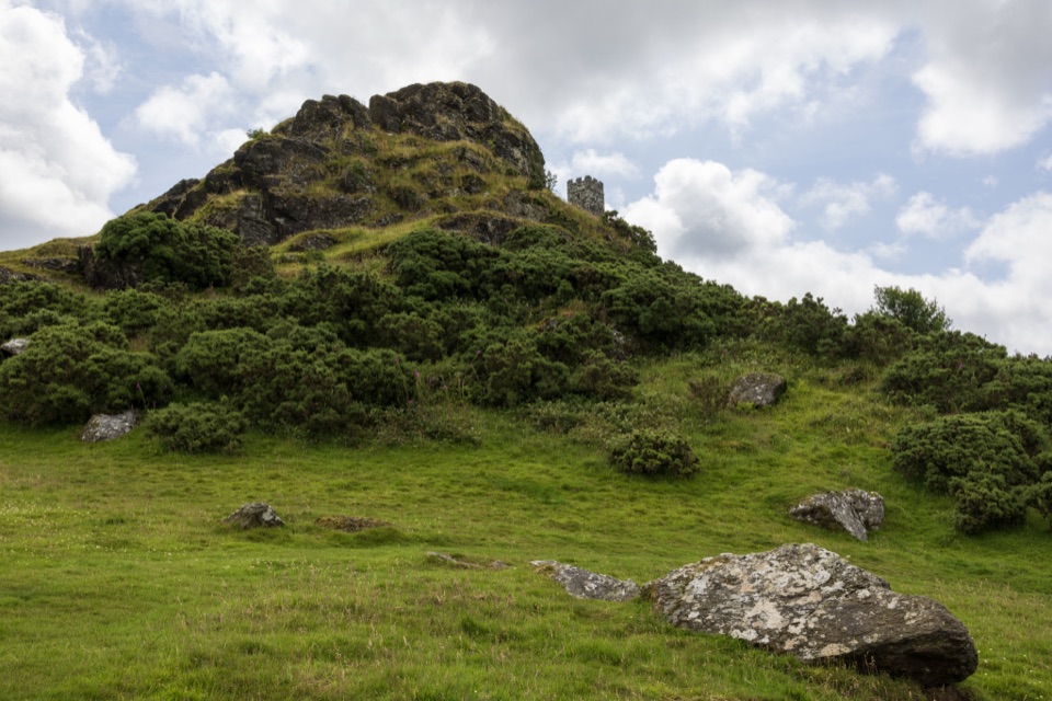 EasyBrent Tor Walk0.8 km · 30 min · 4.2 km awayA short, steep climb to a church above the moor.
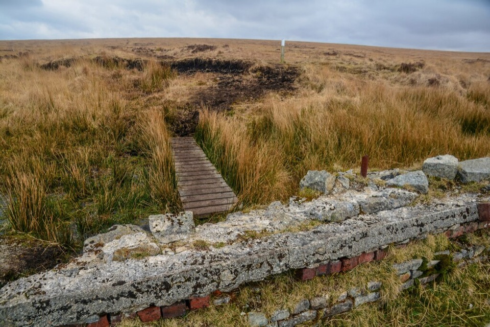 ChallengingLyd Head and Rattlebrook Circular Walk10 km · 5 hr · 4.2 km awayAn old peat railway leads across Dartmoor's rough, wet blanket bog.
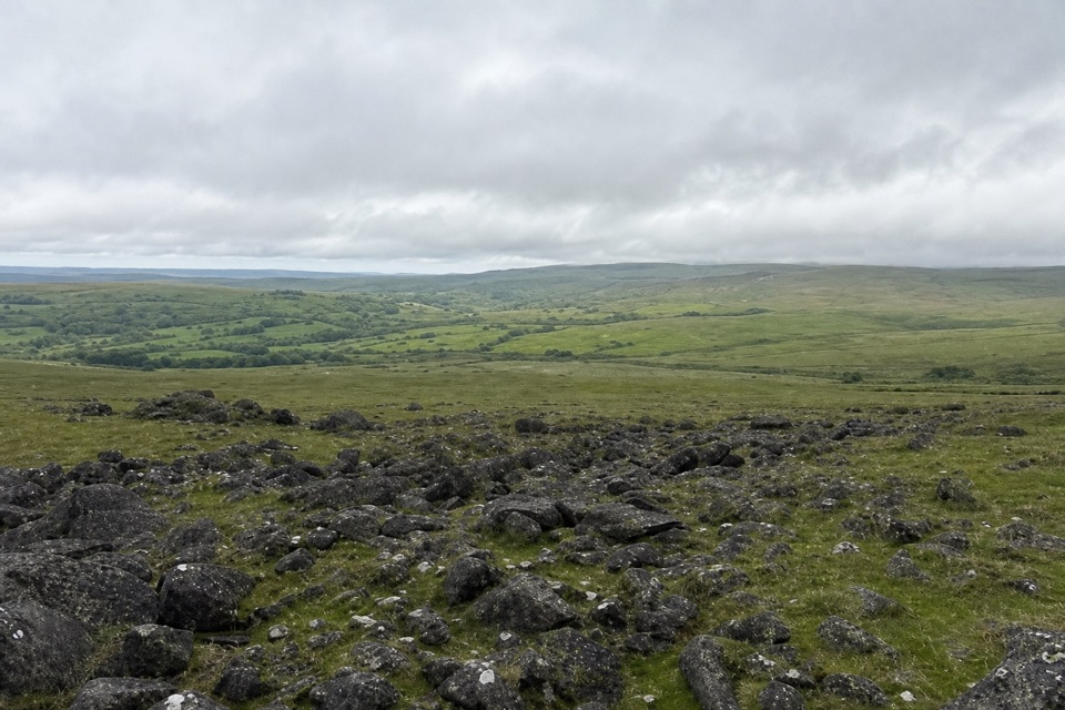 ModerateWhite Tor Walk10.3 km · 3.5 hr · 8.7 km awayA rough moorland loop across three Staple tors to White Tor’s hillfort.
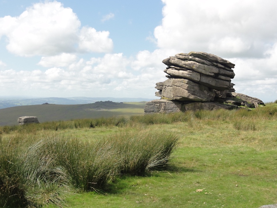 ModerateLittle Mis Tor and Great Mis Tor Walk4.8 km · 1.8 hr · 10.2 km awayTwo tors, a stone track, and a rocky summit above open moor.
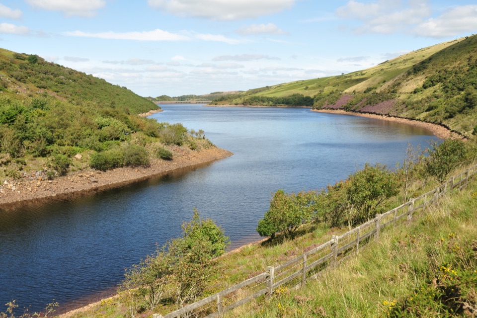 ModerateMeldon Reservoir and Black Tor Walk7.4 km · 3 hr · 10.4 km awayReservoir shores lead to a rough climb above the West Okement.
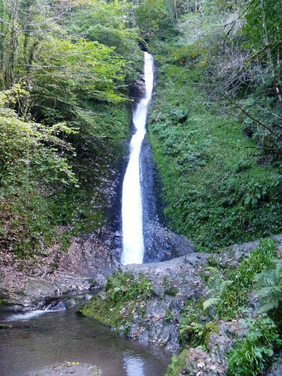 Sight · 1.4 km awayLydford GorgeTwo waterfalls, steep paths and the River Lyd in a deep gorge.
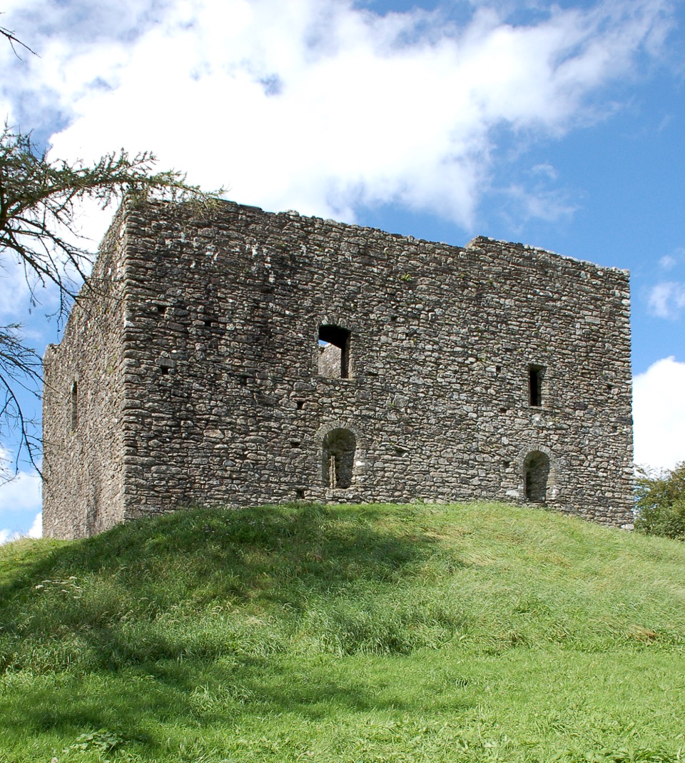 Sight · 1.8 km awayLydford CastleA ruined prison tower with a vivid medieval justice story.
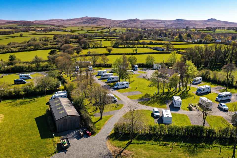 Campground · 2.4 km awayLydford Caravan & Camping ParkA quiet campsite with wide moorland views and a handy village base.
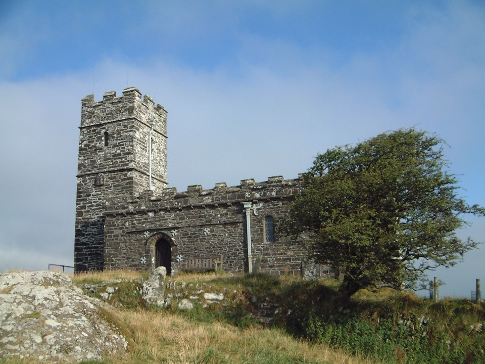 Sight · 4.1 km awaySt Michael de Rupe ChurchA tiny hilltop church with wide views beyond the tor.
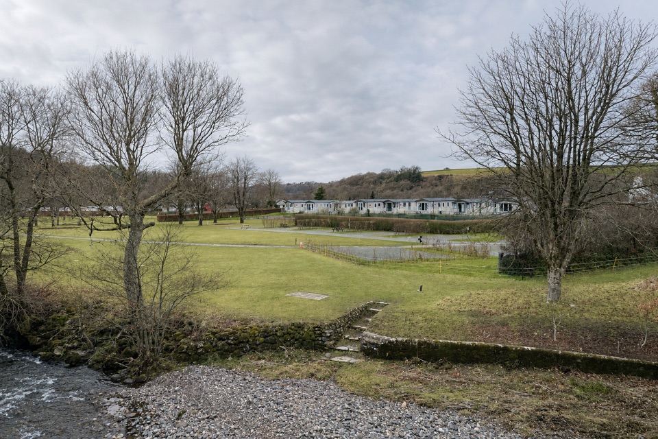 Campground · 6.6 km awayHarford Bridge Holiday ParkStay by the Tavy, from pitches to Tipis and pods.
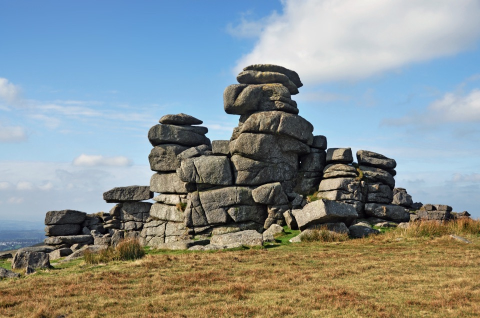 Sight · 8.3 km awayGreat Staple TorA narrow granite avenue with wide moorland views.
 Sight · 8.8 km awayBlack-a-Tor CopseMoss-draped oaks and boulders on a wilder walk into the moor
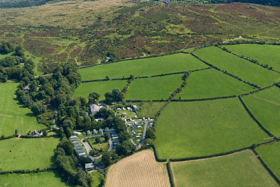 Campground · 9.7 km awayLangstone Manor Holiday ParkForty touring pitches and a manor-house restaurant on Dartmoor’s edge.
Parkwolf’s Dartmoor ranking

The audio tour guide for the drive, plus offline maps, trails, and wildlife heatmaps for when the signal drops.




