Parking
Use the layby outside the Forest Inn in Hexworthy, the stated start and finish.
Dartmoor National Park
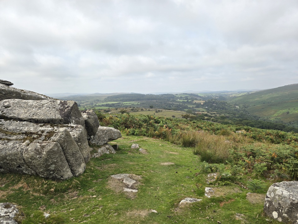
Farmsteads, tin-mill ruins and one proper moorland climb.
Overview
Map & elevation
Plan your hike

The highest, rockiest slopes around here are a summer buffet for grizzly bears.
Dartmoor Tour Guide
Parkwolf is a GPS audio tour guide for Dartmoor National Park. As you drive, it chimes in with what’s ahead: hidden gems, upcoming stops, history, geology, and wildlife, right through your car’s speakers.
Recorded for this trailhead
Hexworthy Walk to Week Ford and Combestone Tor“You're approaching Hexworthy, the start of a three-mile walk past old farmsteads to Week Ford and Combestone Tor.”
Plays as you drive up to this trailhead in the Parkwolf Dartmoor Tour Guide.
More stories near here in the app
“Fantastic app with many points of information… It’s great to just turn on while you’re driving and it gives you an audio tour of the national Park. We love it!!!!”


Trail guide
Hexworthy Walk is a 3-mile (5 km) loop from the layby outside the Forest Inn, through farm lanes and fields to Week Ford, then up to Combestone Tor and back by road. Allow about 2½ hours. Choose it for farm history, a river crossing and a moorland view; expect one strenuous climb.
The route passes Hexworthy’s medieval farmsteads, crosses fields over stone stiles and drops to a bridge. It follows part of the old Tavistock–Ashburton packhorse route, much of which was later replaced by modern roads, then passes St Raphael’s, an 1869 mission chapel that also served as a weekday school. From there, descend to Week Ford. Cross the stepping stones to reach two substantial tin-mill remains, wheel pits and leats dating to the 15th–17th centuries; water powered tin crushing and smelting.
After the river, cross a stream and climb a steep, sometimes rocky bridleway to a track and the road. Make the short rise to Combestone Tor for a view across the Dart valley. Low stone banks south of the road are Bronze Age field boundaries; frame one against the open moor. Follow the road downhill to the Forest Inn. Keep dogs on a lead. Toilets are at Dartmeet car park, a separate stop.
Wildlife
 32 sightingsWestern Roe DeerMost seen around 7 AMSighting map
 10 sightingsRed FoxMost seen around 7 PMSighting map
 37 sightingsEuropean RabbitMost seen around 7 AMSighting map
 19 sightingsGrey HeronMost seen around 7 PMSighting map
 34 sightingsGreat Spotted WoodpeckerMost seen around 7 AMSighting map
 20 sightingsCommon RavenMost seen around 8 AMSighting map
Sighting maps show where each species has been reported across Dartmoor. Wildlife moves, so no sighting is guaranteed.
Keep exploring
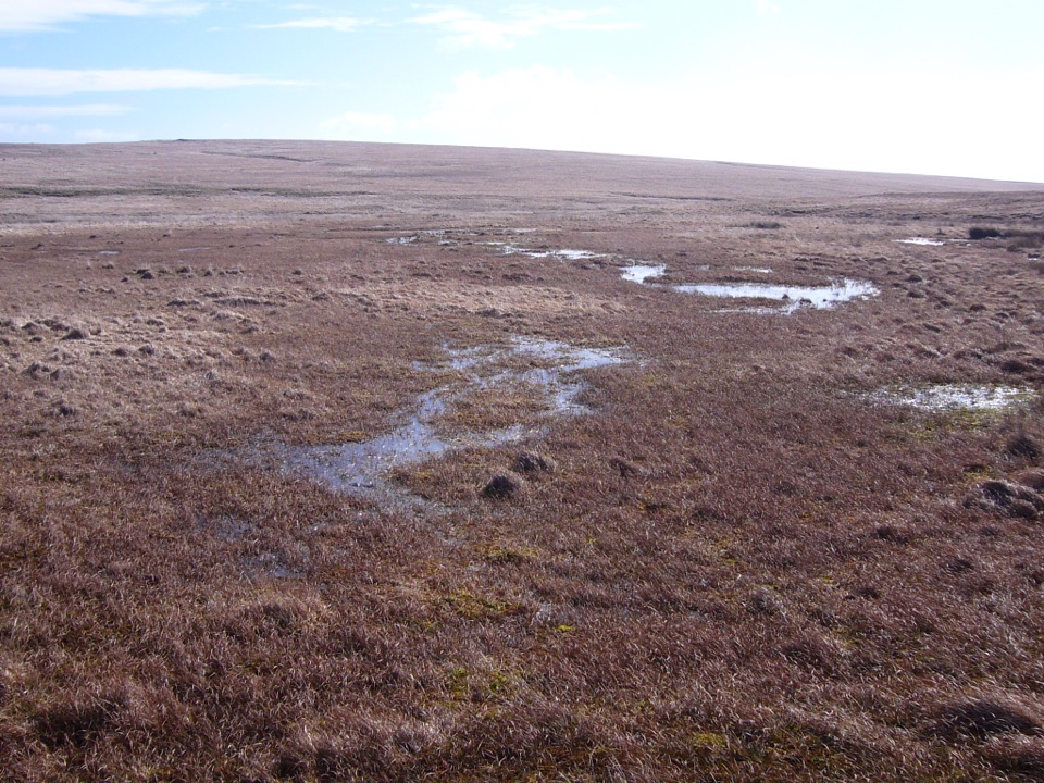 ModerateCombestone Tor to Aune Head Mire8.5 km · 3.8 hr · 1.6 km awayFind the Avon’s source among open pools and peat.
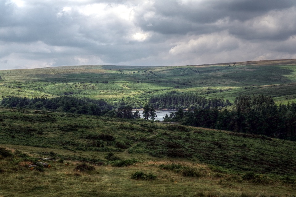 ModerateVenford Reservoir and Bench Tor Walk2.8 km · 1.5 hr · 3.2 km awayA reservoir crossing, open moor, and a granite tor above Dart Gorge.
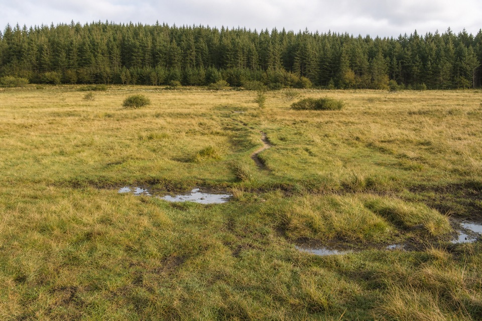 ModerateThe Lych Way20.1 km · 6.8 hr · 4.7 km awayA full-day moor crossing to an old church, with river fords.
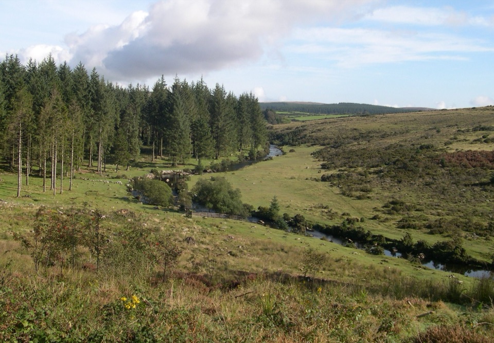 EasyBellever Forest Easy Access Trail0.6 km · 15 min · 4.7 km awayA level forest path reaches a picnic spot on the East Dart.
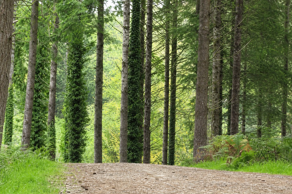 EasyCycle and Tramper Trail at Bellever Forest3.9 km · 1.5 hr · 4.7 km awayA forest loop with archaeology on mostly surfaced tracks
 EasyWistman's Wood Walk4 km · 1.3 hr · 5.3 km awayA 4 km return to a gnarled oak wood by the valley.
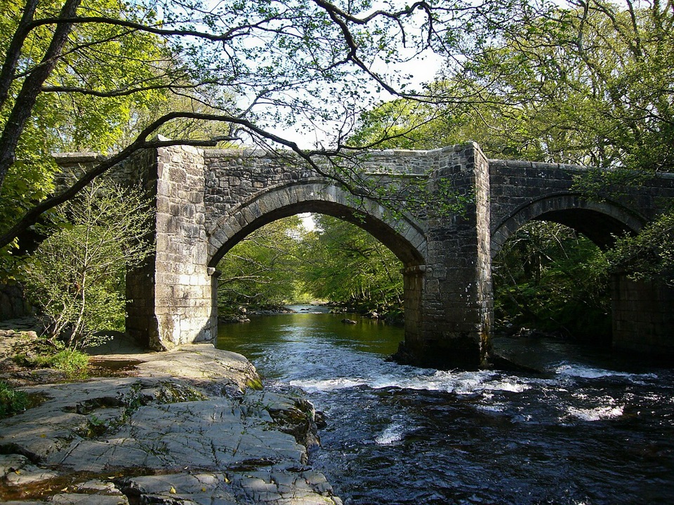 ModerateSpitchwick Manor Circular10.6 km · 3.5 hr · 5.8 km awayA riverside start leads to three high tors above Dart Gorge.
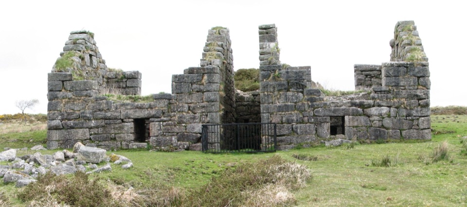 ChallengingGunpowder Trail to Powdermills6.1 km · 2.5 hr · 6.4 km awayA rough moorland walk to Devon’s only gunpowder works ruins.
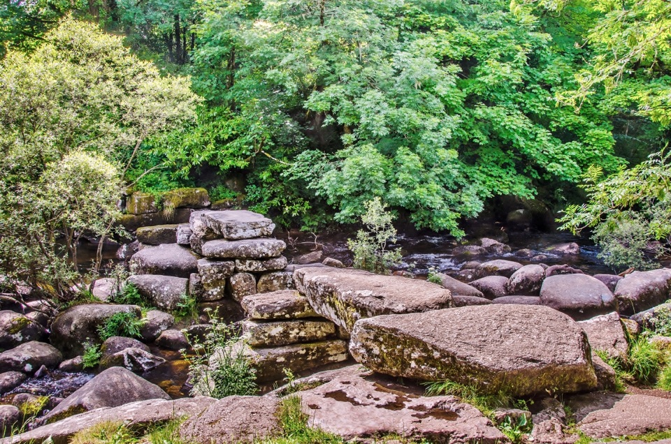 Sight · 1.8 km awayDartmeetTwo crossings beside where the East and West Dart meet.
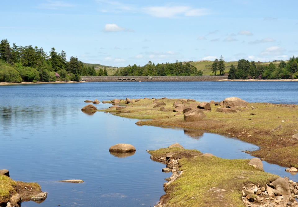 Sight · 3.2 km awayVenford ReservoirA short waterside loop with a longer moorland and gorge walk
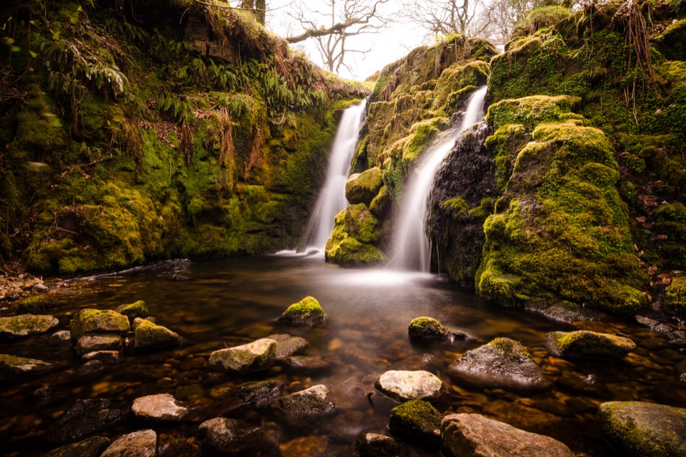 Sight · 3.4 km awayVenford FallsA tucked-away mossy cascade with a steep approach.
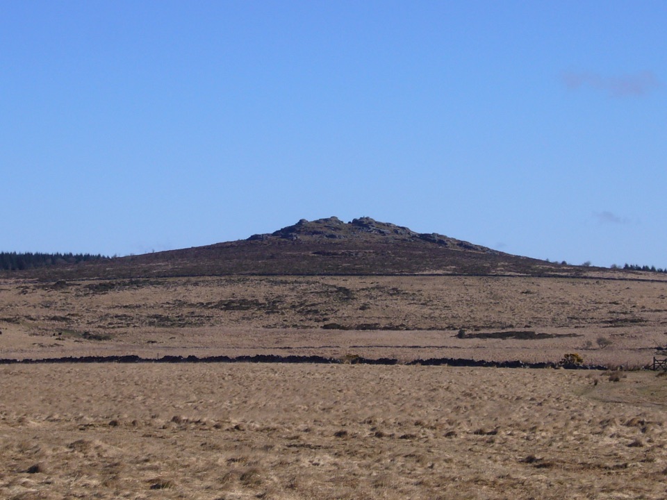 Sight · 4.1 km awayBellever TorA rocky summit walk past hut circles to an open-moor view.
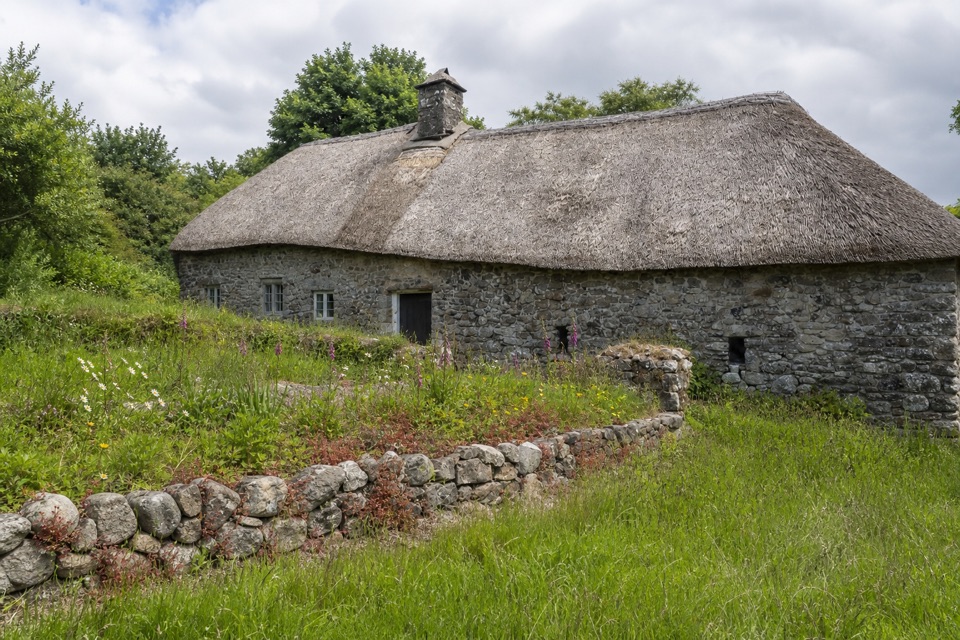 Sight · 4.6 km awayHigher UppacottA rare, intact Dartmoor longhouse with a story in every room.
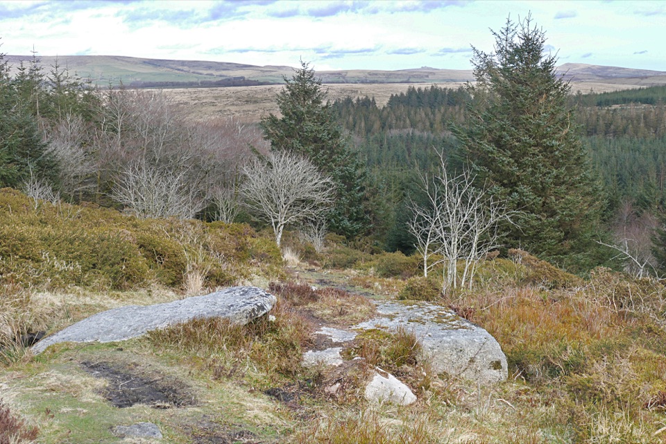 Sight · 4.7 km awayBellever ForestRiverside picnics, working woodland and Bronze Age remains.
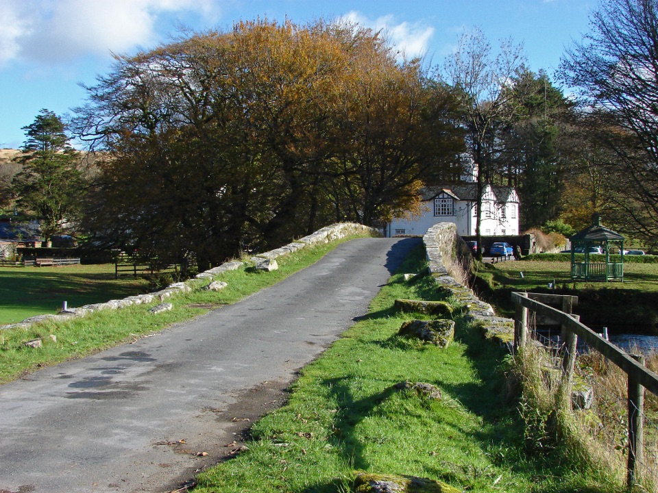 Lodging · 5.3 km awayTwo Bridges HotelA historic riverside inn and useful base for Wistman's Wood.
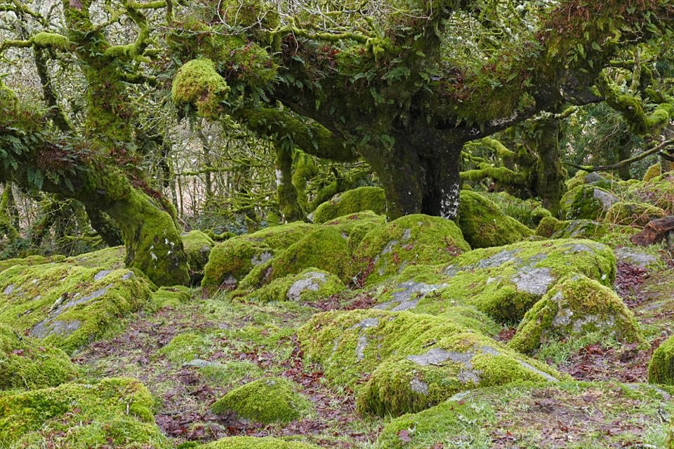 Sight · 6.4 km awayWistman’s WoodTwisted, lichen-covered oaks meet mossy granite boulders.
Parkwolf’s Dartmoor ranking

The audio tour guide for the drive, plus offline maps, trails, and wildlife heatmaps for when the signal drops.




