Parking
Use the small layby beside Yellowmeade Farm at the signed track entrance off the B3357, shown on maps as Foggintor Quarry Car Park. Keep the track entrance clear.
Dartmoor National Park
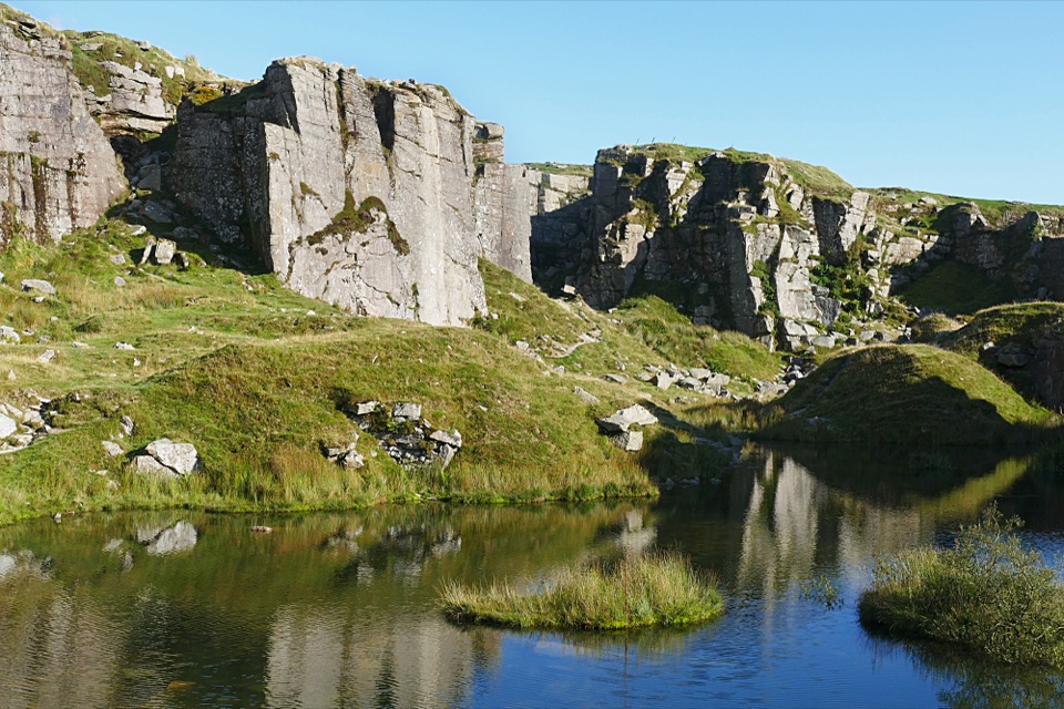
Moorland track leads to still water beneath towering quarry walls.
Overview
Map & elevation
Plan your hike

The highest, rockiest slopes around here are a summer buffet for grizzly bears.
Dartmoor Tour Guide
Parkwolf is a GPS audio tour guide for Dartmoor National Park. As you drive, it chimes in with what’s ahead: hidden gems, upcoming stops, history, geology, and wildlife, right through your car’s speakers.
Recorded for this trailhead
Foggintor Quarry Walk“You're approaching the B3357 starting point for Foggintor Quarry. The flooded workings are about nine tenths of a mile away on foot, along a broad track across open moor.”
Plays as you drive up to this trailhead in the Parkwolf Dartmoor Tour Guide.
More stories near here in the app
“Fantastic app with many points of information… It’s great to just turn on while you’re driving and it gives you an audio tour of the national Park. We love it!!!!”


Trail guide
Foggintor Quarry Walk is a 1.8-mile out-and-back from the layby beside Yellowmeade Farm on the B3357 to the quarry approach and back. The mapped line is just over 0.9 mile each way; the full distance counts the return but not extra wandering among the workings. Allow about an hour if you want time to look around. This is a good short stop for an open moorland walk followed by the sudden scale of a flooded granite quarry. The approach is mostly a broad, gently sloping track, with scrambling only if you explore the quarry.
The track heads south past Yellowmeade Farm and across bare, high ground. Its surface turns stonier as it follows slabs of the old tramway toward the quarry ruins. The approach is easy to follow but exposed: there is little shelter, and wind can make this short walk feel colder than the distance suggests. The route drops about 35 metres to the quarry edge; the return climbs the same gradual slope. Views stay broad across the moor for most of the way.
At the quarry, still water lies below tall, squared-off granite faces. You can stay near the entrance or continue among the old workings, where rocky, uneven ground makes the descent a scramble. That optional exploration adds distance and is not included in the 1.8-mile mapped return. From above, frame the water with one of the sheer walls; down among the rocks, the cut feels more enclosed and the route is more sheltered.
Foggintor was a working granite quarry until 1966. The approach passes fragments of the settlement that served it, including cottages, a smithy and chapel-school ruins; farther into the workings are spoil heaps and the remains of quarry buildings. The ruins are fragmentary, and the ground is uneven around the stone and broken edges.
Start at the small layby by Yellowmeade Farm, shown on maps as Foggintor Quarry Car Park, and keep the track entrance clear. There are no reported facilities on the route; Princetown has toilets, a convenience store and places to eat as a separate stop. Dogs may come on Dartmoor, but on access land they need a short fixed lead of no more than 2 metres from 1 March to 31 July, and should be on a lead whenever livestock are nearby.
Wildlife
 32 sightingsWestern Roe DeerMost seen around 7 AMSighting map
 10 sightingsRed FoxMost seen around 7 PMSighting map
 37 sightingsEuropean RabbitMost seen around 7 AMSighting map
 19 sightingsGrey HeronMost seen around 7 PMSighting map
 34 sightingsGreat Spotted WoodpeckerMost seen around 7 AMSighting map
 20 sightingsCommon RavenMost seen around 8 AMSighting map
Sighting maps show where each species has been reported across Dartmoor. Wildlife moves, so no sighting is guaranteed.
Keep exploring
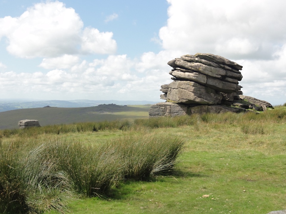 ModerateLittle Mis Tor and Great Mis Tor Walk4.8 km · 1.8 hr · 0.6 km awayTwo tors, a stone track, and a rocky summit above open moor.
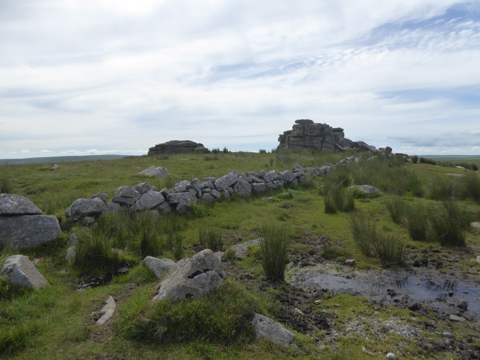 EasyPrincetown Walk to South Hessary Tor3 km · 1 hr · 2.7 km awayA gentle moorland walk to a granite tor above Princetown.
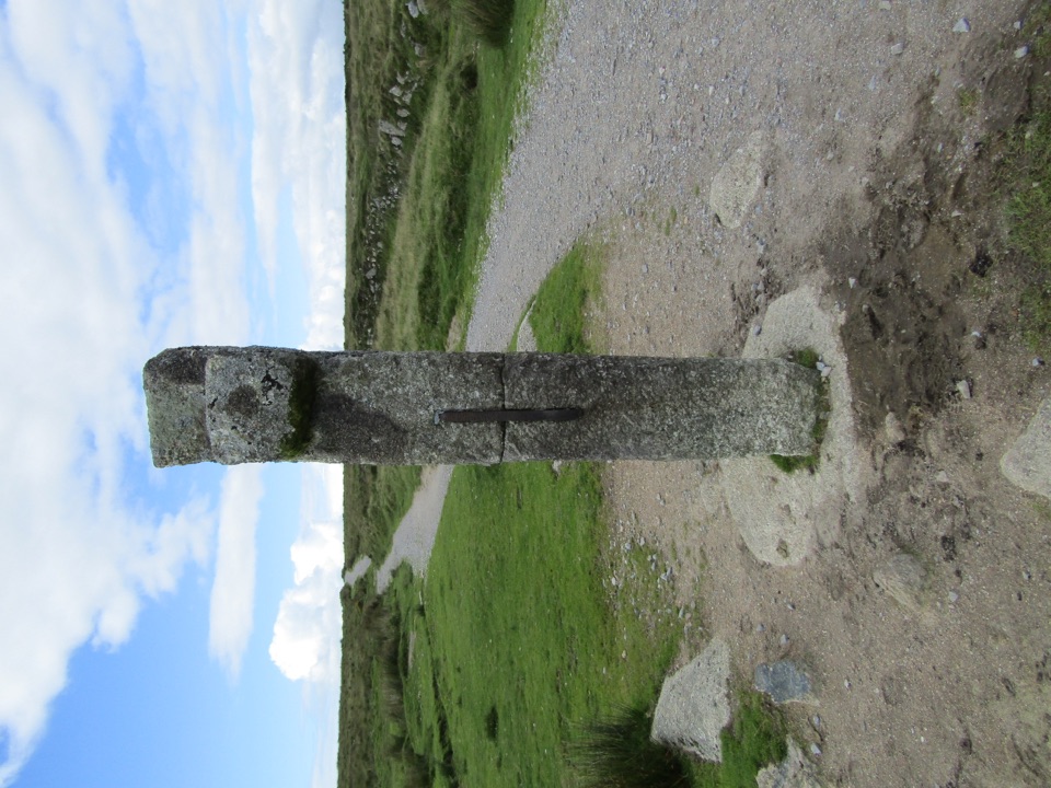 ModeratePrincetown to Nun’s Cross Walk8 km · 2.3 hr · 2.7 km awayA gravel track across open moor to a wayside cross.
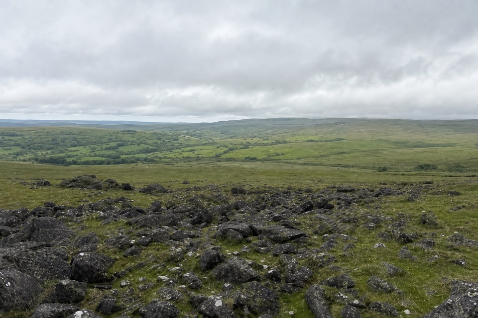 ModerateWhite Tor Walk10.3 km · 3.5 hr · 3.3 km awayA rough moorland loop across three Staple tors to White Tor’s hillfort.
 EasyWistman's Wood Walk4 km · 1.3 hr · 4.2 km awayA 4 km return to a gnarled oak wood by the valley.
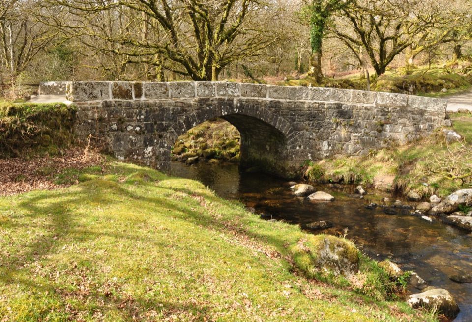 EasyNorsworthy Bridge to Deancombe2.6 km · 1.5 hr · 5.7 km awayA short gravel walk to a ruined farmstead above Narrator Brook.
 EasyBurrator Reservoir Circular Walk6.3 km · 1.8 hr · 7.1 km awayTwo dams, a wooded shoreline and a stone bridge in one loop.
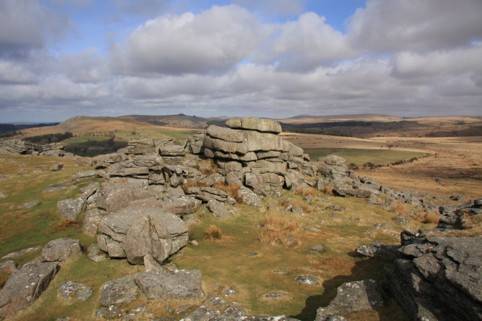 ModerateGutter Tor Walk6.4 km · 2.5 hr · 7.7 km awayA moorland loop for granite tors, warrens, and prehistoric stone rows.
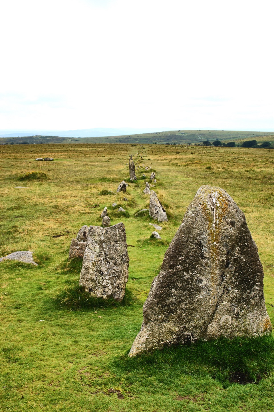 Sight · 1.3 km awayMerrivale Prehistoric SettlementLong stone rows and dozens of Bronze Age house sites to explore.
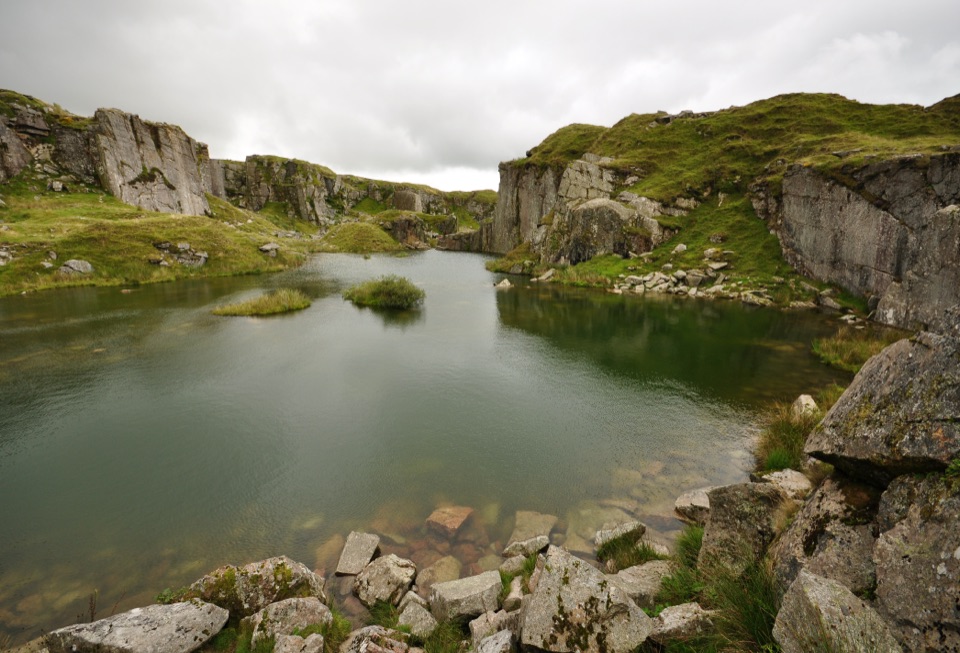 Sight · 1.4 km awayFoggintor QuarryA flooded granite pit wrapped in towering cut-stone walls.
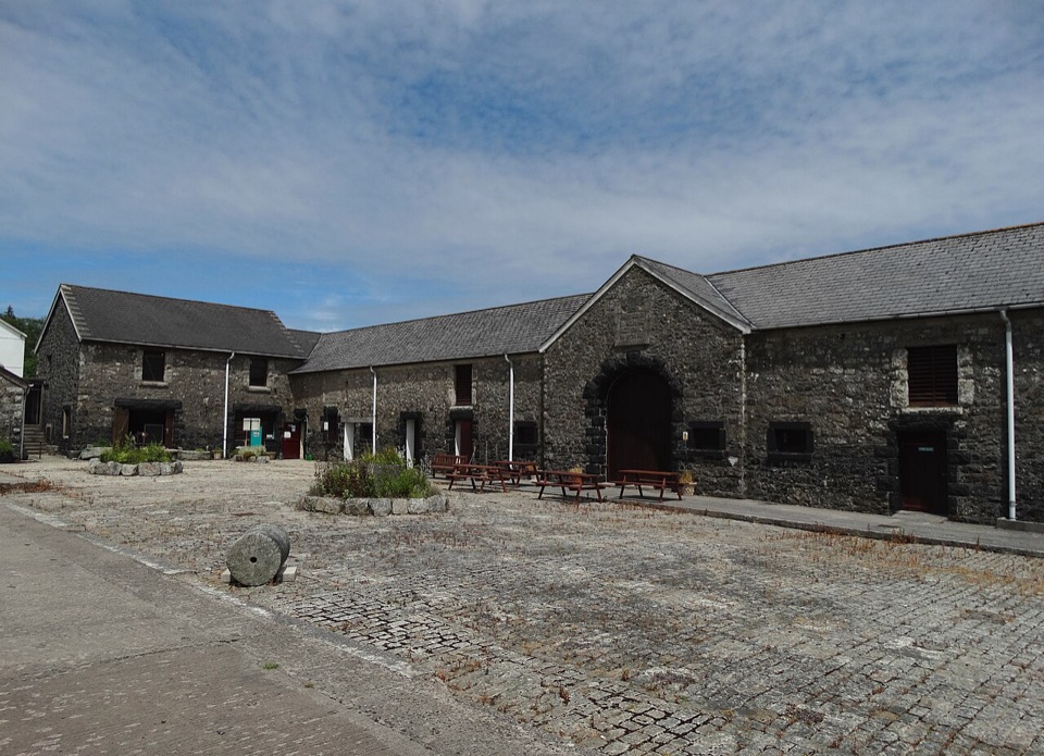 Sight · 1.9 km awayDartmoor Prison MuseumObjects and cell displays bring Dartmoor’s prison history close.
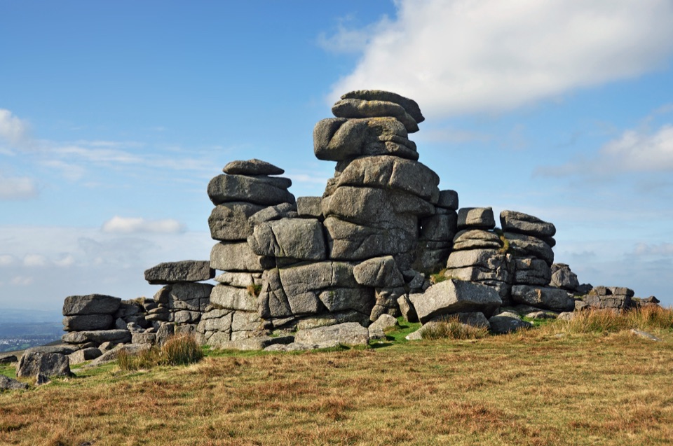 Sight · 2.7 km awayGreat Staple TorA narrow granite avenue with wide moorland views.
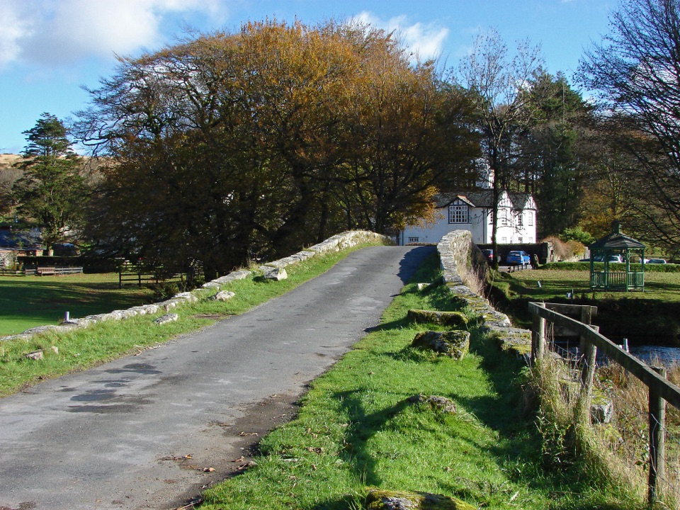 Lodging · 4.2 km awayTwo Bridges HotelA historic riverside inn and useful base for Wistman's Wood.
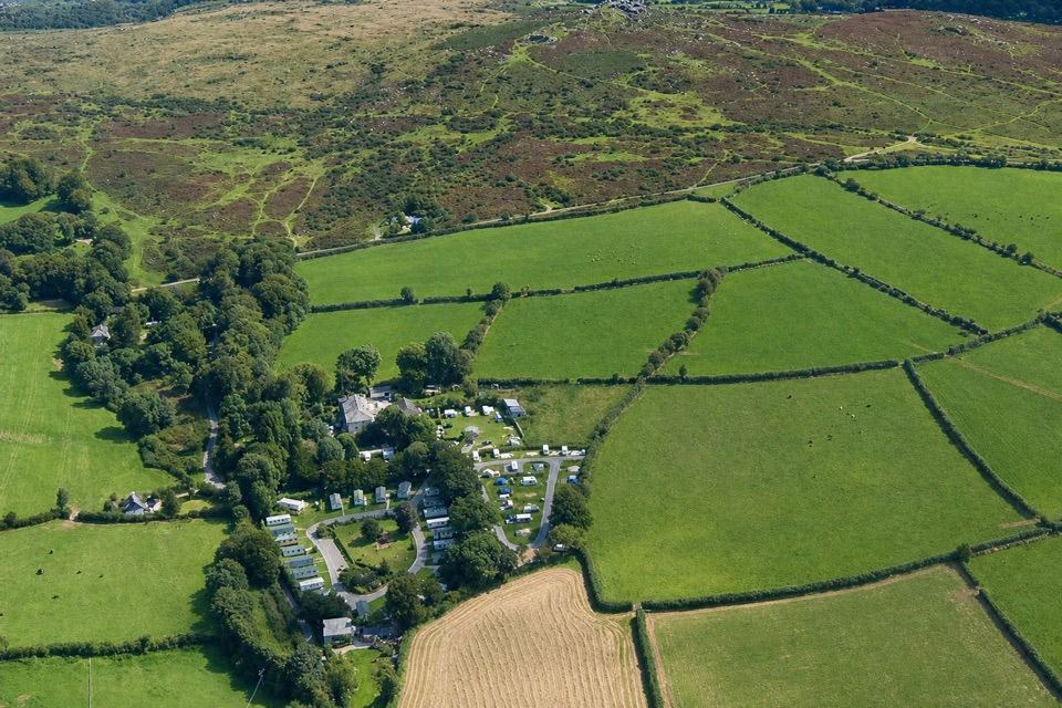 Campground · 4.5 km awayLangstone Manor Holiday ParkForty touring pitches and a manor-house restaurant on Dartmoor’s edge.
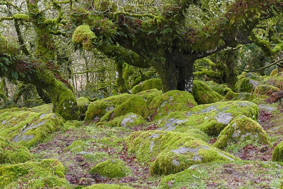 Sight · 5 km awayWistman’s WoodTwisted, lichen-covered oaks meet mossy granite boulders.
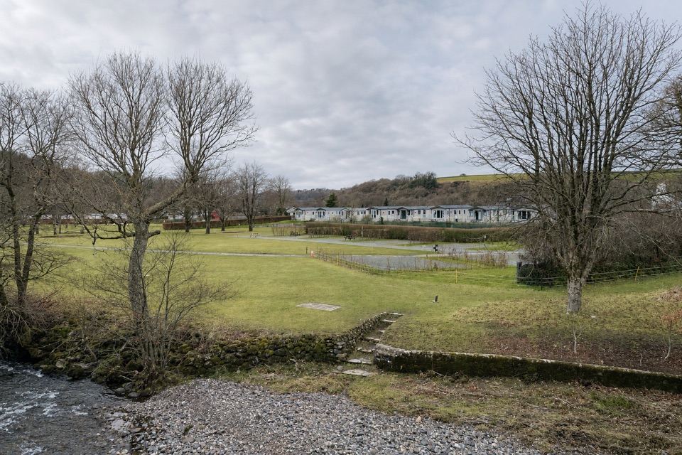 Campground · 6.5 km awayHarford Bridge Holiday ParkStay by the Tavy, from pitches to Tipis and pods.
Parkwolf’s Dartmoor ranking

The audio tour guide for the drive, plus offline maps, trails, and wildlife heatmaps for when the signal drops.



