Merrivale Prehistoric Settlement in Dartmoor National Park

#9 of 46 sights in Dartmoor

Sight · Dartmoor National Park

Merrivale Prehistoric Settlement

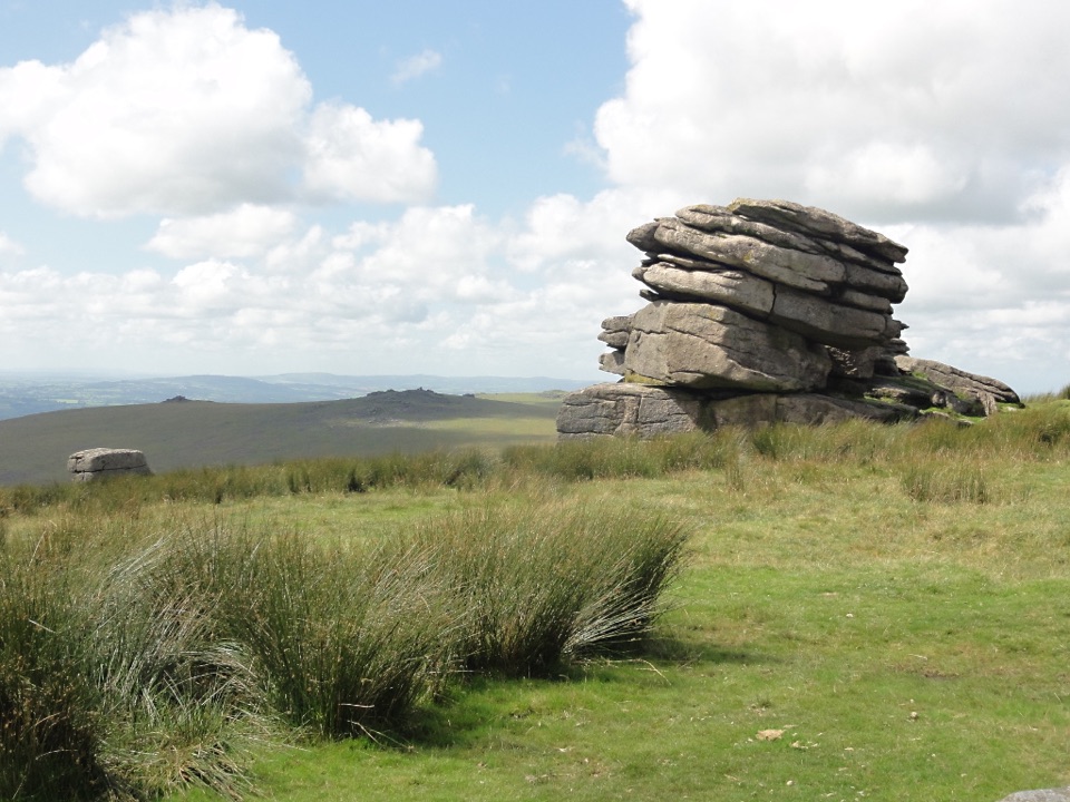
Long stone rows and dozens of Bronze Age house sites to explore.

Photo: Wikimedia Commons
Type
Sight
Nearest trail
0.7 km
Audio stories
6 nearby
  • Parking

Hear the audio tour

Merrivale's Stone Rows and House Rings

Overview

About Merrivale Prehistoric Settlement

Why stop

  • Long rows sit among dozens of roundhouse remains and cairns.

Heads up

  • The low stones are easy to miss, and the moor is exposed.

Map

Where it is

Loading the Dartmoor map
Full map
SightMerrivale Prehistoric Settlement50.55476, -4.04210
Keep this map with you offline in the Parkwolf app

Plan your stop

Before you go

2 active Dartmoor alerts

  • CautionDartmoor military firing restricts accessDo not cross the Okehampton, Willsworthy or Merrivale training-range boundaries when warning signals are displayed.Official details
  • CautionAccess restriction at Huccaby FarmAccess to CROW Access Land at Huccaby Farm in the West Dart River Valley is subject to a current restriction notice.Official details
Dartmoor alerts
A park ranger sits on a dash-mounted phone, talking, as Parkwolf’s Tour Guide plays “Army Cutworm Moths: A Grizzly Bear Buffet” on Grand Loop Road below Dunraven Pass in Yellowstone
Parkwolf Tour GuideThe highest, rockiest slopes around here are a summer buffet for grizzly bears.

Dartmoor Tour Guide

Your drive to Merrivale Prehistoric Settlement, narrated.

Parkwolf is a GPS audio tour guide for Dartmoor National Park. As you drive, it chimes in with what’s ahead: hidden gems, upcoming stops, history, geology, and wildlife, right through your car’s speakers.

Recorded for this place

Merrivale's Stone Rows and House Rings
0:00 / 0:34
“You're coming up on the access for Merrivale, where prehistoric stone rows and the remains of a settlement spread across the moor.”

Plays as you drive up to Merrivale Prehistoric Settlement in the Parkwolf Dartmoor Tour Guide.

More stories near here in the app

  • Little Mis Tor and Great Mis Tor
  • Foggintor Quarry Walk
  • Great Staple Tor and the Granite Avenue
  • Dartmoor Prison Museum
  • 298 audio storiesacross Dartmoor’s roads, triggered by GPS as you drive
  • Wildlife heatmapsfor Western Roe Deer, Red Fox, European Rabbit, and 13 more
  • Works offlinemaps, 54 trails, 59 places, and audio download before you lose signal
  • CarPlay readysimple controls built for the drive
★★★★★
“Fantastic app with many points of information… It’s great to just turn on while you’re driving and it gives you an audio tour of the national Park. We love it!!!!”
JMJamesApp Store review
Download Parkwolf on the App StoreGet Parkwolf on Google Play

4.7 from 8,600+ ratings

Guide

More about Merrivale Prehistoric Settlement

Spread across a working moorMerrivale is an open-air prehistoric complex on Dartmoor, with long stone rows, burial…

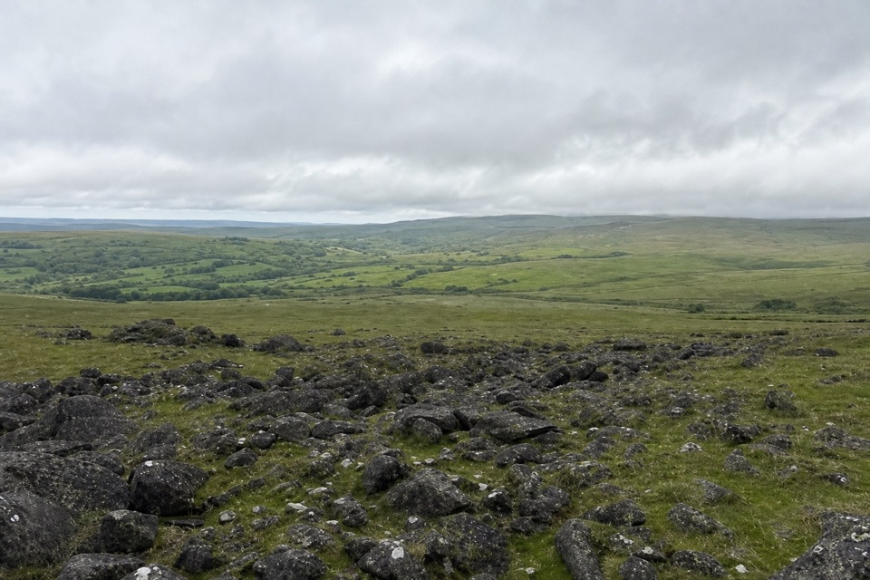
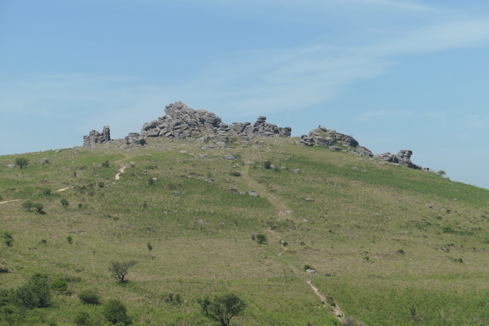
Merrivale is an open-air prehistoric complex on Dartmoor, with long stone rows, burial monuments and the remains of a Bronze Age settlement scattered across open moorland. It is a place to wander between low stones and hut circles rather than a single grand ruin. The draw is seeing ritual monuments and everyday settlement in the same landscape.

Allow time to walk between the monuments: many stones sit low against the grass, and some are easy to miss from a passing car. Entry is free and the site is open during daylight, so it works as a self-guided stop. If dramatic standing stones are your main interest, the low, spread-out remains may feel understated until you find the whole group.

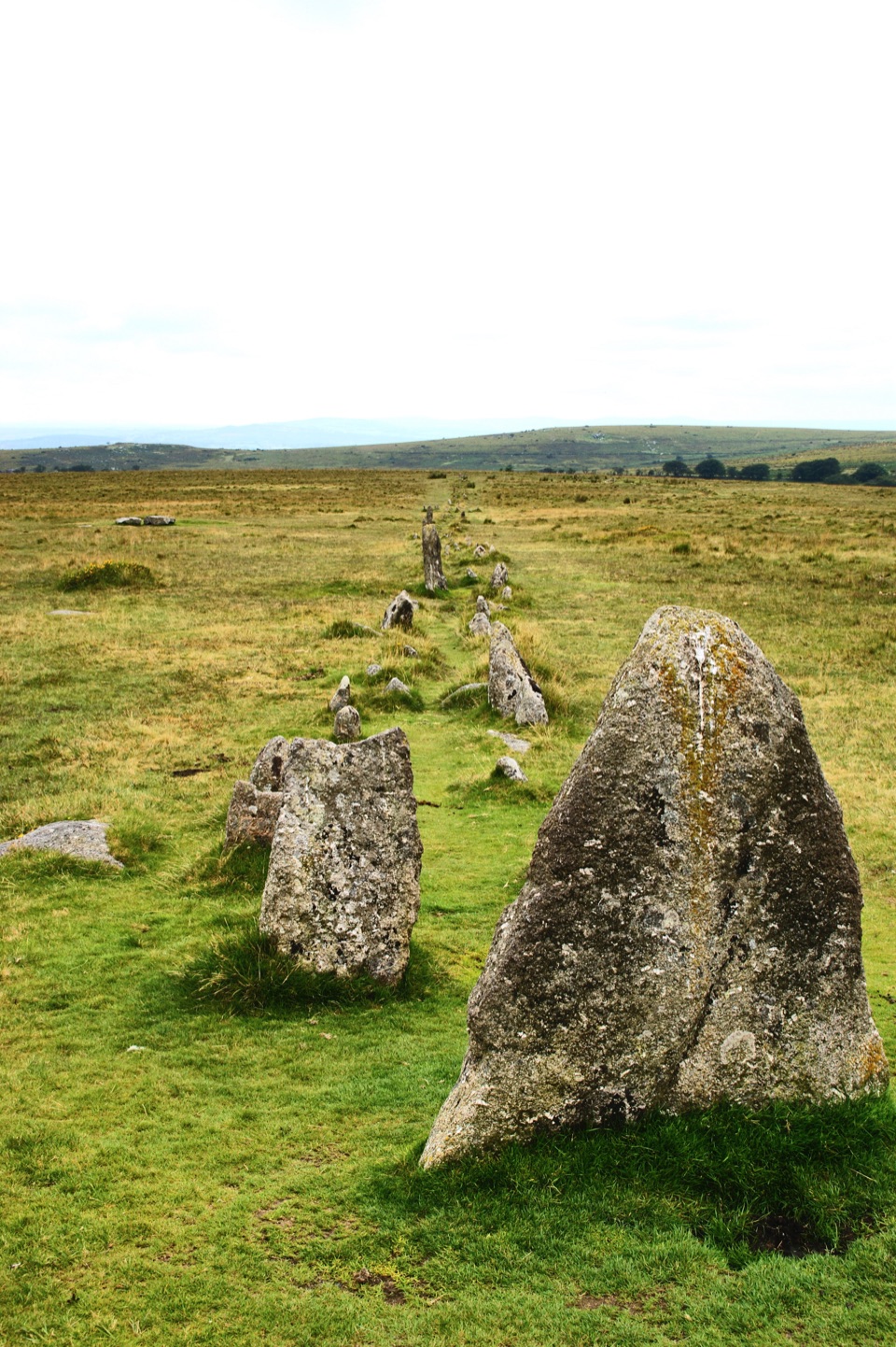
Follow the rowsTwo double stone rows cross the slope.

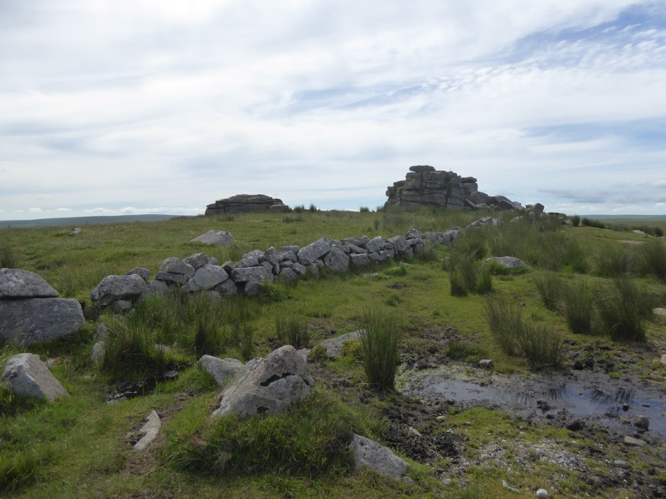
Two double stone rows cross the slope. The northern row runs 182 metres and the southern 263 metres; each has more than 150 stones, most under a metre tall. The southern line has terminal stones and a small ringed cairn midway. Nearby, an 18-metre circle holds 11 low stones, while a separate menhir rises over 3 metres. You can also pick out burial cairns and a single row. From the eastern end of the southern alignment, look west to bring the paired stones into line across the open ground.

Homes beside the monumentsThe roundhouse remains lie north of the rows.

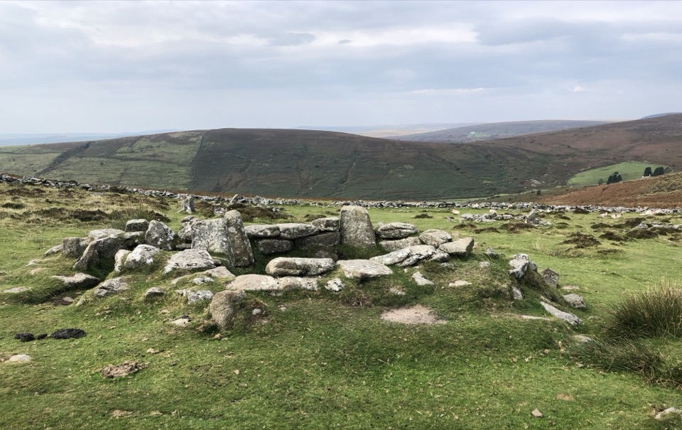
The roundhouse remains lie north of the rows. More than 50 survive as low stone foundations; the larger houses reached about 8 metres across. They point to a farming settlement where people likely kept sheep and cattle. The ritual monuments date to the late Neolithic (3000–2300 BC), while the settlement was Bronze Age (2300–800 BC), but the exact relationships among the monuments remain uncertain. Farming and woodland clearance may have worn out the upland soil; people likely left around 800–700 BC. One huge stone among the settlement remains is actually a post-medieval apple crusher used for cider, a later working object among far older monuments.

Make the visit workFour Winds car park, off the B3357, has limited spaces.

Four Winds car park, off the B3357, has limited spaces. The moor is rough and uneven, with partly buried stones and trip hazards; weather can change quickly, so sturdy footwear and an extra layer help. No café, toilets or drinking water are listed for the site, so bring what you need if you plan to stay for a picnic. Ponies and sheep graze freely, so keep dogs on a lead.

Wildlife

Wildlife in Dartmoor

All Dartmoor wildlife maps

Sighting maps show where each species has been reported across Dartmoor. Wildlife moves, so no sighting is guaranteed.

Keep exploring

Near Merrivale Prehistoric Settlement

See it all on the map

Trails nearby

More stops nearby

Parkwolf’s Dartmoor ranking

Top sights in Dartmoor

All 59 places
  1. 1Haytor RocksSight
  2. 2Postbridge Clapper BridgeSight
  3. 3Hound TorSight
  4. 4GrimspoundSight
  5. 5Wistman’s WoodSight
  6. 6Castle DrogoSight

Take Parkwolf to Dartmoor.

The audio tour guide for the drive, plus offline maps, trails, and wildlife heatmaps for when the signal drops.

4.7 from 8,600+ ratings

Download Parkwolf on the App StoreGet Parkwolf on Google Play