Parking
Park at the Dead Horse Point Visitor Center; follow the paved Nature Trail to the northbound overlook path. Park admission is required.
#7 of 21 trails in Dead Horse Point
Dead Horse Point State Park, UT
An easy rim walk to potholes and Colorado River views.
Overview
Map & elevation
Plan your hike

The highest, rockiest slopes around here are a summer buffet for grizzly bears.
Dead Horse Point Tour Guide
Parkwolf is a GPS audio tour guide for Dead Horse Point State Park. As you drive, it chimes in with what’s ahead: hidden gems, upcoming stops, history, geology, and wildlife, right through your car’s speakers.
Recorded for this trailhead
Visitor Center and Desert View“Up ahead is the visitor center, with geology exhibits, an art gallery, and a canyon view just outside.”
Plays as you drive up to this trailhead in the Parkwolf Dead Horse Point Tour Guide.
More stories near here in the app
“Fantastic app with many points of information… It’s great to just turn on while you’re driving and it gives you an audio tour of the national Park. We love it!!!!”


Trail guide
Desert View Overlook Trail is an easy out-and-back from the Visitor Center to the east rim. The park lists it as 0.5 mile each way, so plan on about 1 mile round trip and 30 to 45 minutes with a stop at the overlook. It’s a good pick when you want a real rim walk without giving half a day to the longer East or West Rim routes. You stay high on the mesa rather than hiking down into the canyon.
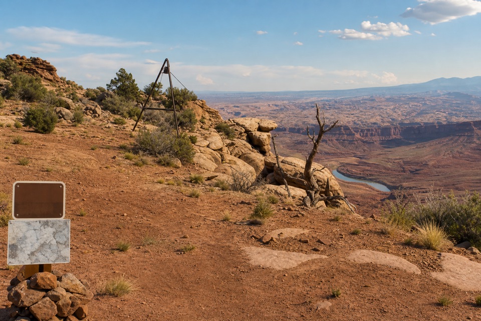
Start by the Visitor Center on its paved Nature Trail, then continue when that path turns to dirt. Follow the separate foot trail north past the parking area and along the rim to the overlook; turn around there and return the same way. Older park material calls the destination Colorado River Overlook. The hikers’ path runs beside Intrepid, the mixed-use bike route, but it’s a separate line, so don’t switch onto the bike trail.
The paved Nature Trail is a useful shorter option if you don’t want the dirt spur. It’s only about an eighth of a mile one way, with eight exhibits about desert plants and trees and a sign about the park’s salt and potash ponds. It also has views of the basin, La Sal Mountains and Chimney Rock, but it doesn’t take you to the Desert View overlook.
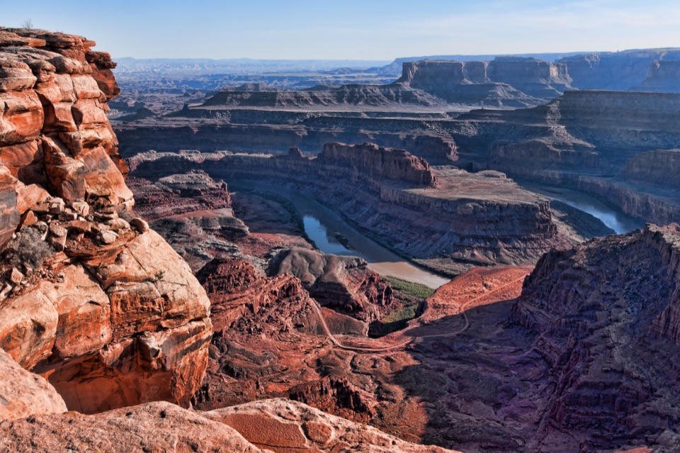
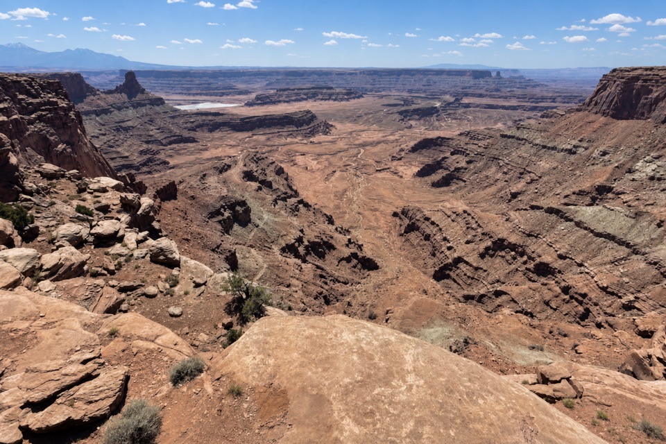
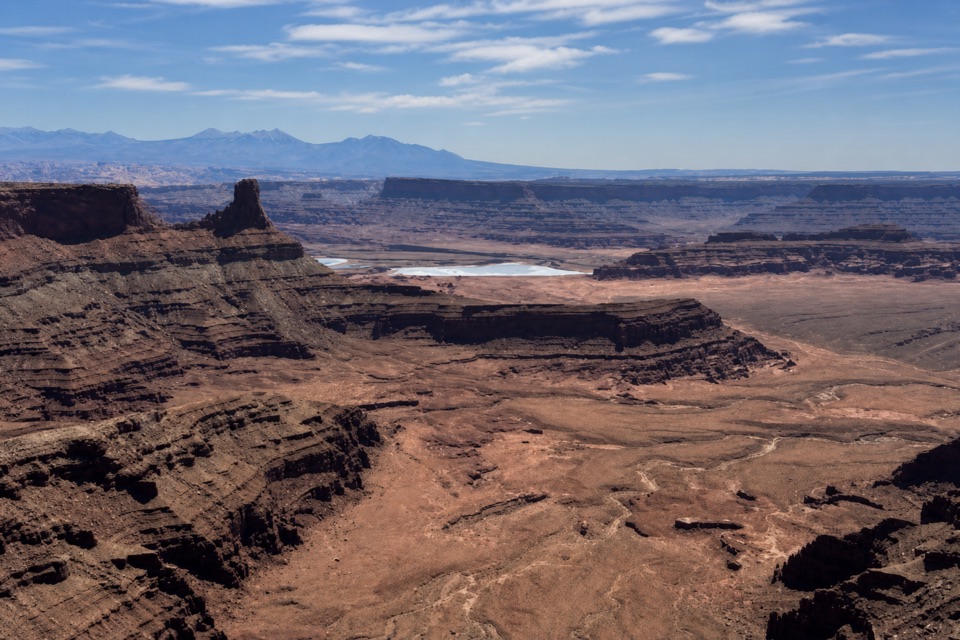
At the end, you can sit and look over the canyon bottom. The Colorado River and the pale potash ponds are glimpses in the distance, while the broad rock layers are the main show. Leave a strip of rim in a photo to give the canyon some scale; the ponds can help anchor the view when they’re visible. This is a short trail with one destination, not a route that keeps changing scenery on the way back.
The shallow dimples in the slickrock catch rain and become temporary pools. After wet weather they can hold fairy shrimp, whirligig beetles, toad tadpoles and other tiny desert life. They dry out between rains, so don’t expect to find water in them every time. Pause to look at the rock near the path; it’s easy to walk past the pools while watching the horizon.
Across this canyon country, the Colorado River has cut roughly 2,000 feet through rock layers that record about 300 million years. From this rim you see the exposed layers from above, not the river corridor itself. Juniper groves along the route may also turn up lizards, rabbits, mule deer or, occasionally, bighorn sheep; the park lists them as possibilities, not guaranteed sightings.
Use the Dead Horse Point Visitor Center lot; restrooms are there, and park admission is required. The paved approach gives way to dirt, and the route follows the canyon rim over uneven slickrock, so sturdy footwear helps. Dogs are allowed on park hiking trails when leashed. If you want a short walk with a specific payoff, this is a better fit than continuing along the paved Nature Trail alone.
Wildlife
 33 sightingsRavenMost seen around 6 PMSighting map
 16 sightingsWhiptail LizardMost seen around 10 AMSighting map
 34 sightingsFence LizardMost seen around 8 AMSighting map
 42 sightingsSide-blotched LizardMost seen around 9 AMSighting map
Sighting maps show where each species has been reported across Dead Horse Point. Wildlife moves, so no sighting is guaranteed.
Keep exploring
 EasyVisitor Center Nature Trail0.3 mi · 30 min · At the trailheadA short paved walk for desert exhibits and basin views.
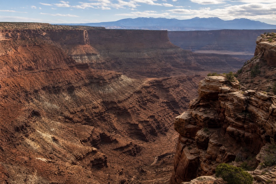 ModerateBighorn Overlook Trail3 mi · 2 hr · At the trailheadCairns lead to deep potholes and a distant horn-shaped fin.
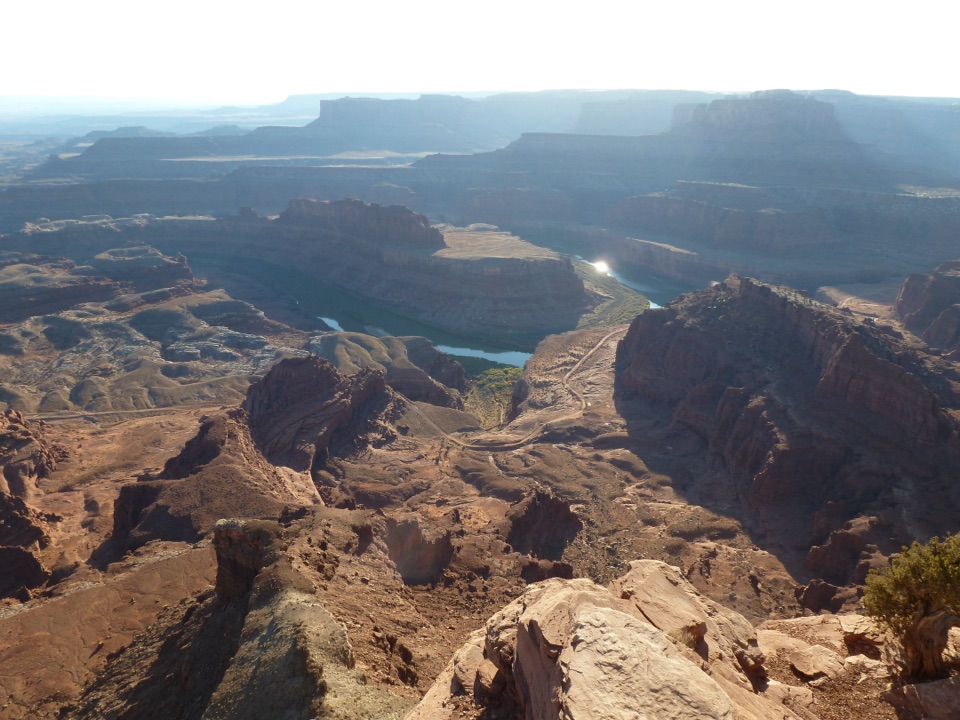 ModerateWest Rim Trail2.9 mi · 1.8 hr · At the trailheadCairn-marked slickrock ends above the Colorado River.
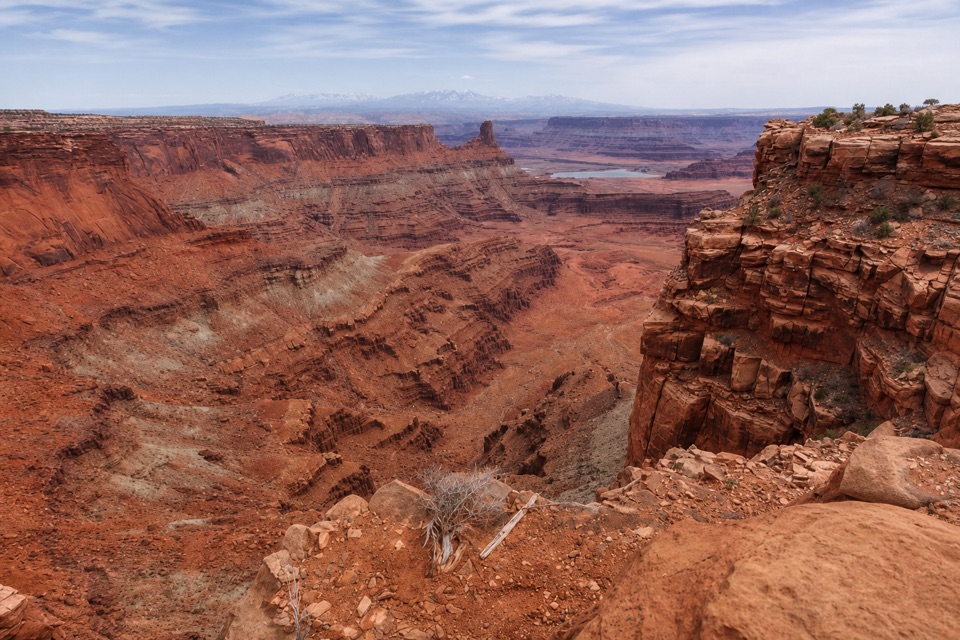 ModerateShafer Canyon Overlook Trail3.3 mi · 2 hr · At the trailheadCairned slickrock leads to a first glimpse of the Colorado River.
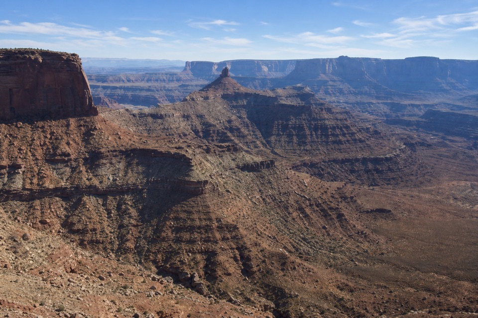 EasyRim Overlook Trail2 mi · 1.5 hr · At the trailheadA 2-mile out-and-back to a shelf above Shafer Canyon.
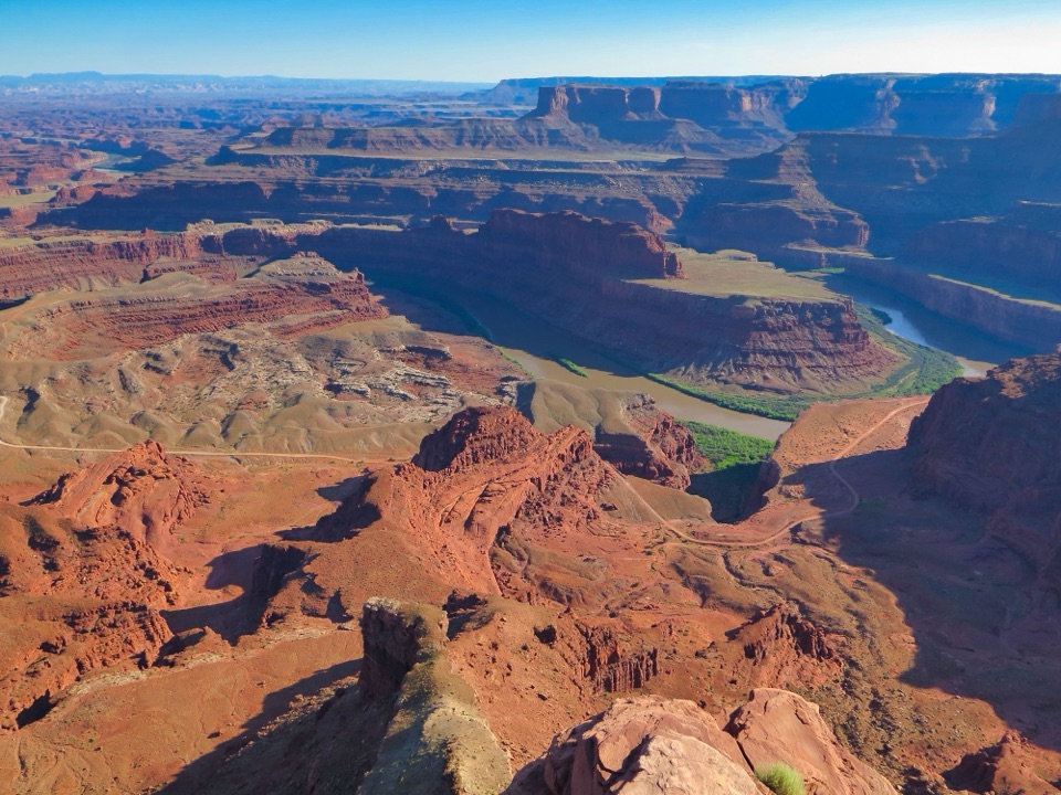 ModerateEast and West Rim Loop4.4 mi · 4 hr · At the trailheadThe 4.4-mile loop links both rims at Dead Horse Point.
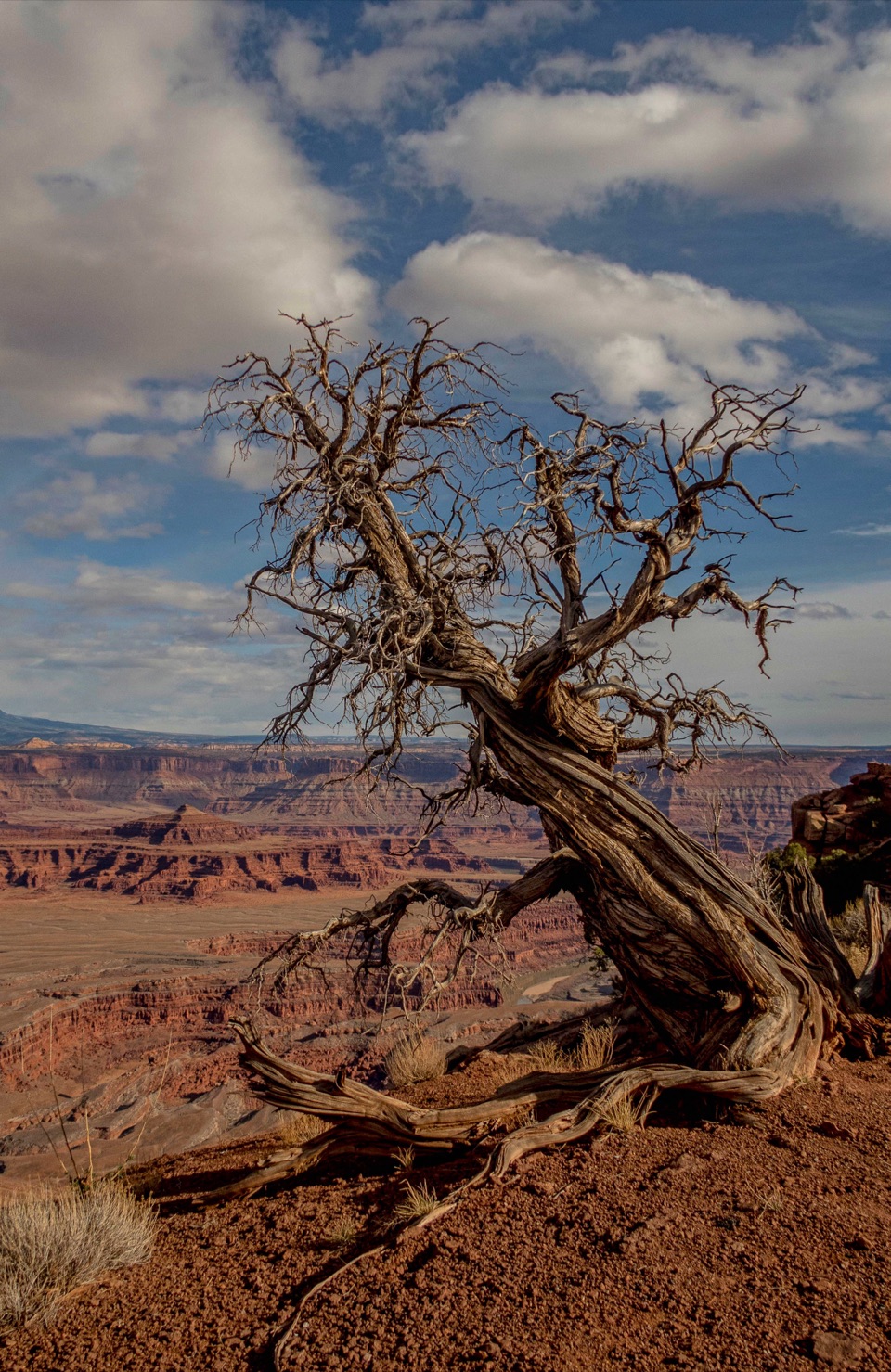 EasyEast Rim Trail to Dead Horse Point1.7 mi · 1 hr · At the trailheadEasy rim walking ends above the Colorado River canyon.
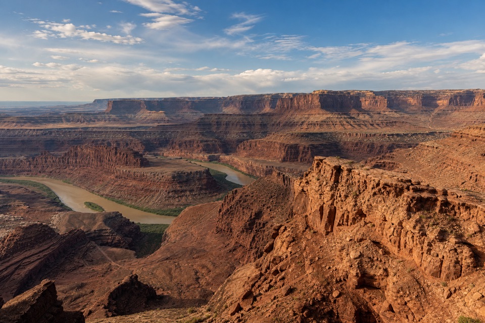 EasyBasin Overlook Trail1.6 mi · 45 min · At the trailheadA short East Rim walk to a shelf above Pyramid Butte.
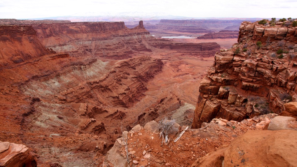 Visitor center · At the trailheadDead Horse Point Visitor CenterA geology primer with a canyon view right outside.
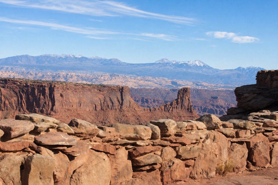 Food · At the trailheadPony Expresso Coffee ShopA quick caffeine stop beside the visitor center, if still operating.
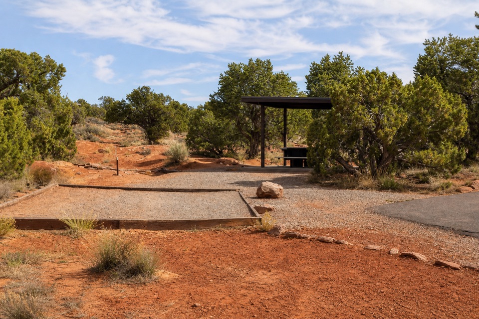 Campground · 0.2 mi awayKayenta CampgroundJuniper shade gives this small campground a tucked-in feel.
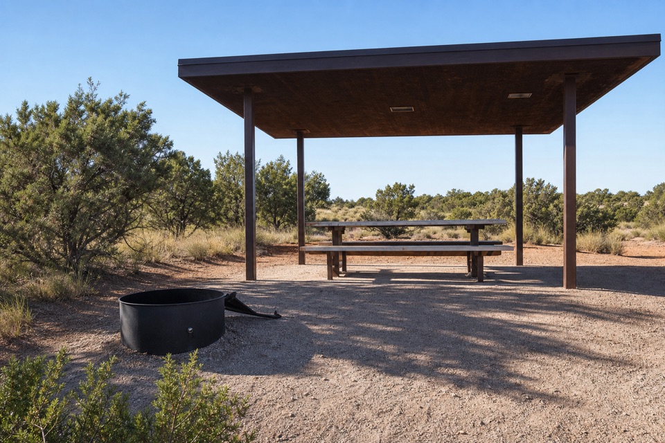 Campground · 0.4 mi awayWingate Campground & YurtsPick from electric sites, walk-in tents, and four mesa-top yurts.
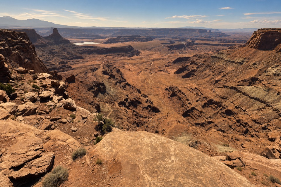 Sight · 0.5 mi awayDesert View OverlookAn easy half-mile walk for canyon layers and a different rim view.
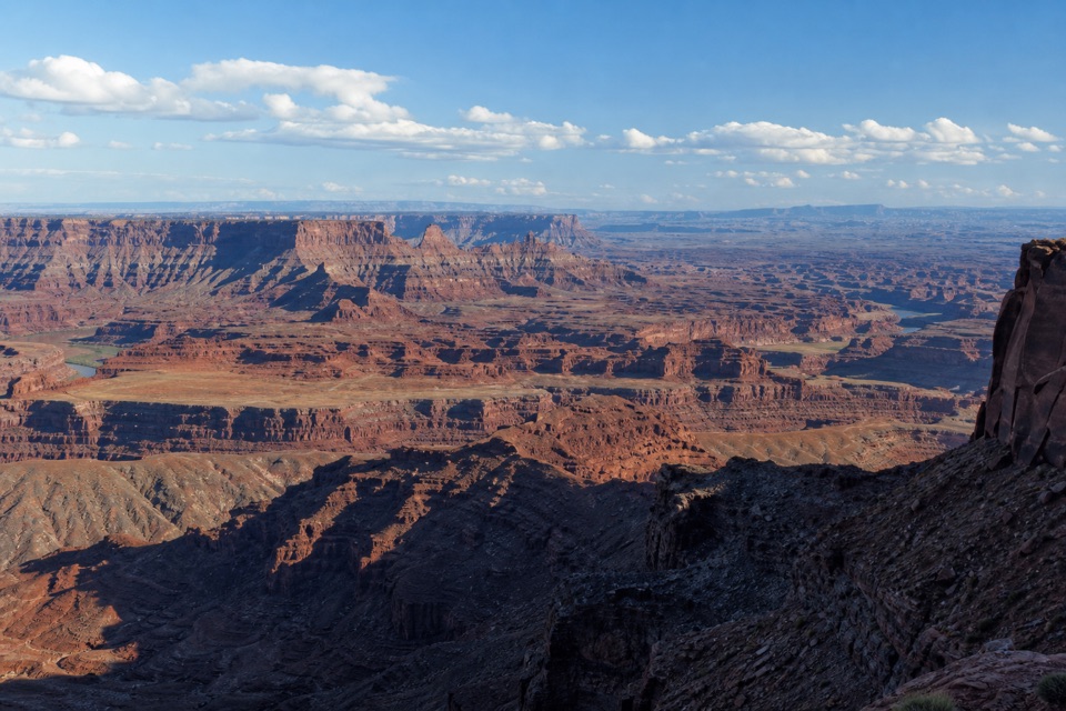 Sight · 0.6 mi awayBasin OverlookA quieter shelf for La Sal Mountains, canyon towers and mining ponds.
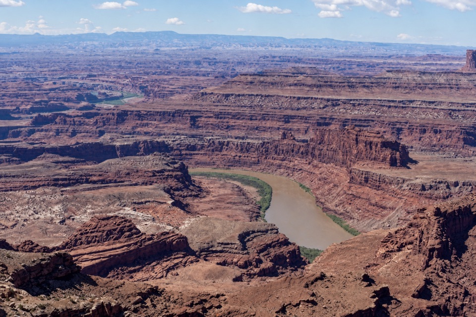 Sight · 0.8 mi awayRim OverlookA West Rim spur for an eastward look into Canyonlands.
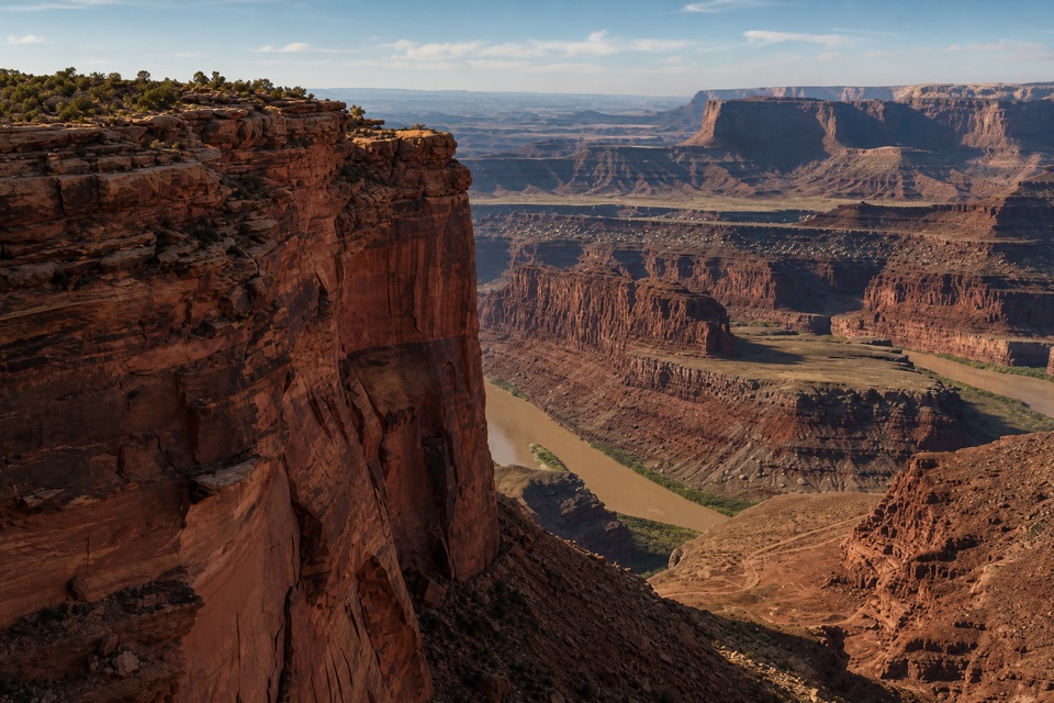 Sight · 0.8 mi awayMeander OverlookA few steps off the trail for the river’s broad bend.
Parkwolf’s Dead Horse Point ranking

The audio tour guide for the drive, plus offline maps, trails, and wildlife heatmaps for when the signal drops.