Overview
About Desert View Overlook
Why stop
- The slickrock pools can hold tiny desert life when water is present.
Heads up
- The river and potash ponds are only glimpses.
Map
Where it is

The highest, rockiest slopes around here are a summer buffet for grizzly bears.
Dead Horse Point Tour Guide
Your drive to Desert View Overlook, narrated.
Parkwolf is a GPS audio tour guide for Dead Horse Point State Park. As you drive, it chimes in with what’s ahead: hidden gems, upcoming stops, history, geology, and wildlife, right through your car’s speakers.
Recorded for this place
Visitor Center and Desert View“Up ahead is the visitor center, with geology exhibits, an art gallery, and a canyon view just outside.”
Plays as you drive up to Desert View Overlook in the Parkwolf Dead Horse Point Tour Guide.
More stories near here in the app
- Visitor Center Rim Trails
- Intrepid Trailhead and Cable Line
- Kayenta Campground
- Moenkopi Yurts
- 11 audio storiesacross Dead Horse Point’s roads, triggered by GPS as you drive
- Wildlife heatmapsfor Raven, Whiptail Lizard, Fence Lizard, and 1 more
- Works offlinemaps, 21 trails, 22 places, and audio download before you lose signal
- CarPlay readysimple controls built for the drive
“Fantastic app with many points of information… It’s great to just turn on while you’re driving and it gives you an audio tour of the national Park. We love it!!!!”


Guide
More about Desert View Overlook
A short walk for a different viewDesert View Overlook is a viewpoint on Dead Horse Point’s east rim, at the end of an easy trail…
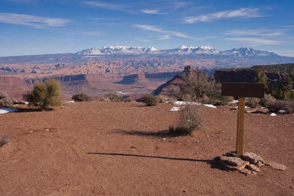
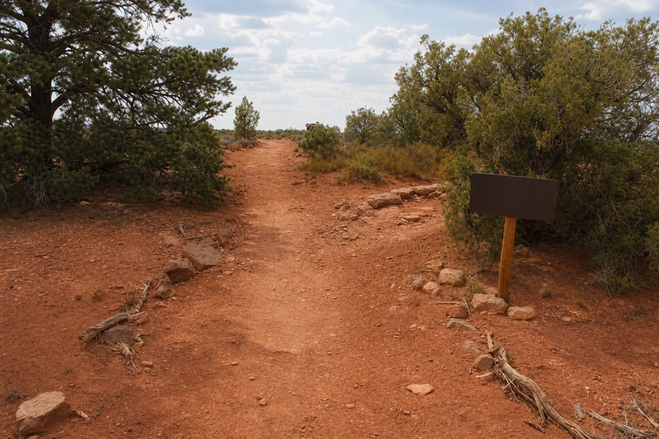
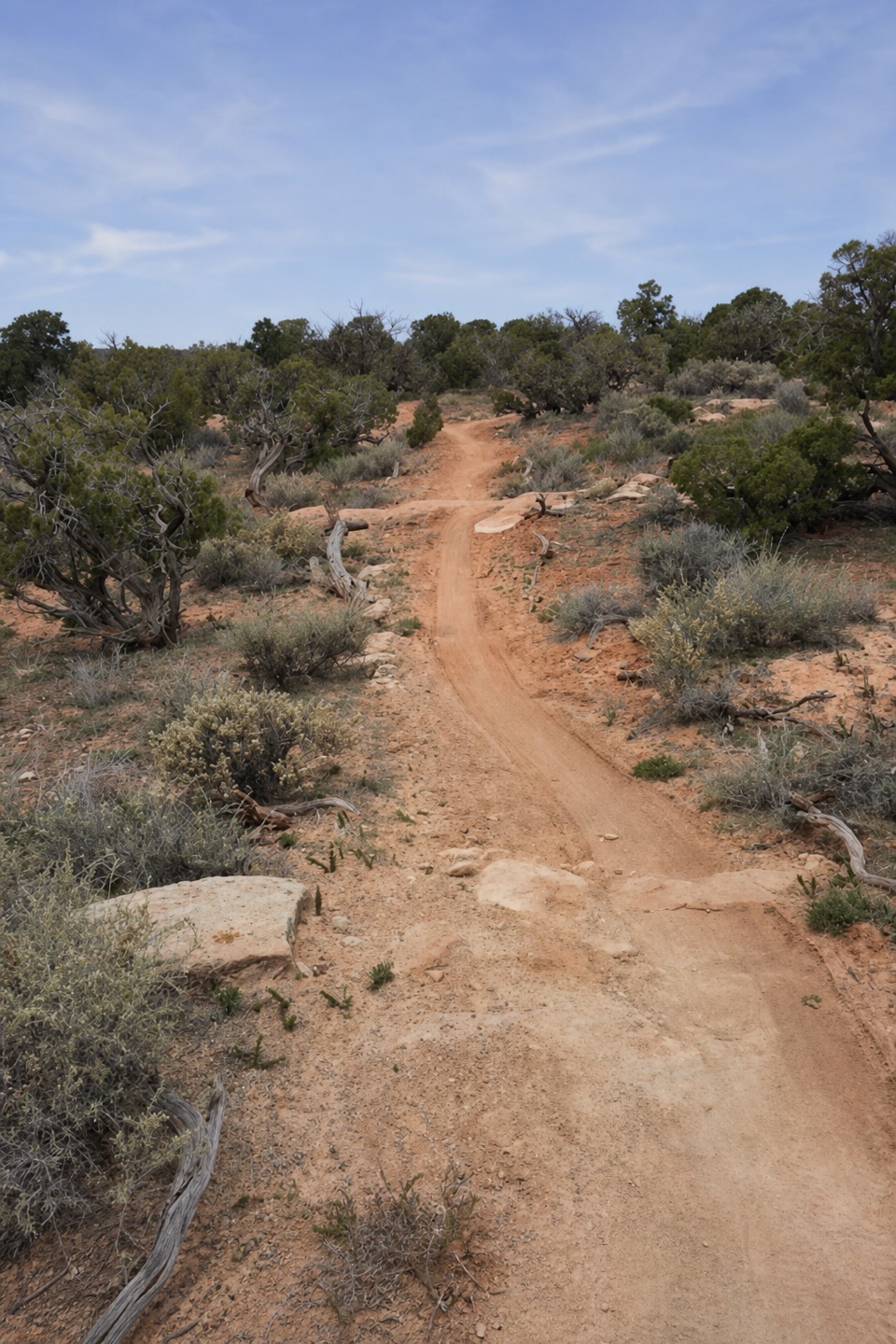
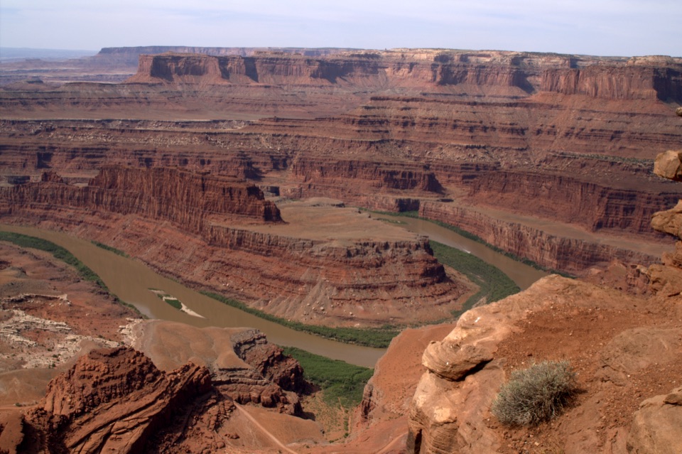
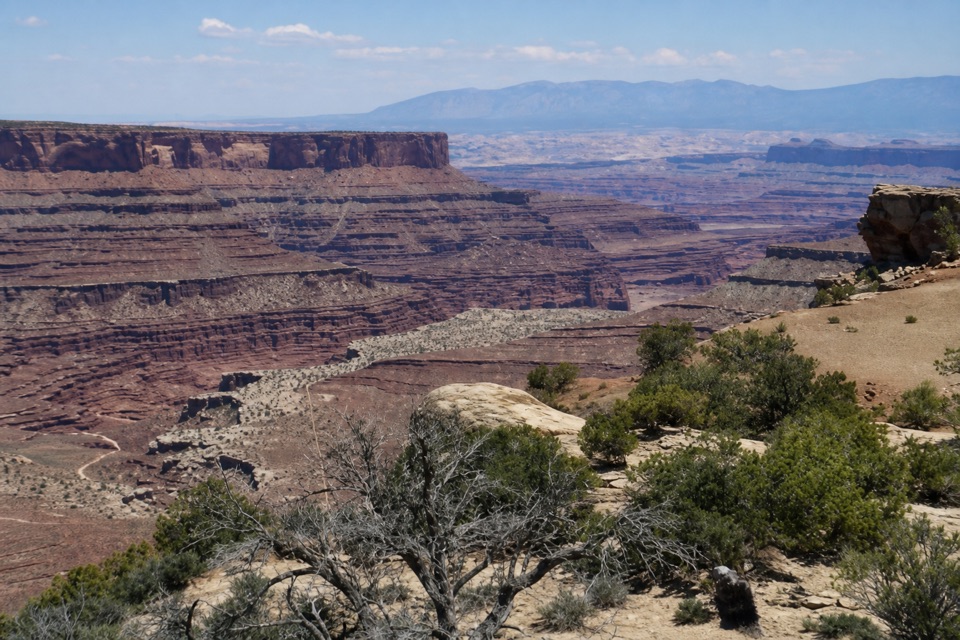
Desert View Overlook is a viewpoint on Dead Horse Point’s east rim, at the end of an easy trail heading north from the visitor center. It’s 0.5 mile each way, so count on about a mile out and back. This is a good pick if you want another angle on the canyon without a long hike; it’s separate from the park’s famous southern point. Dogs are allowed on hiking trails but must stay leashed.
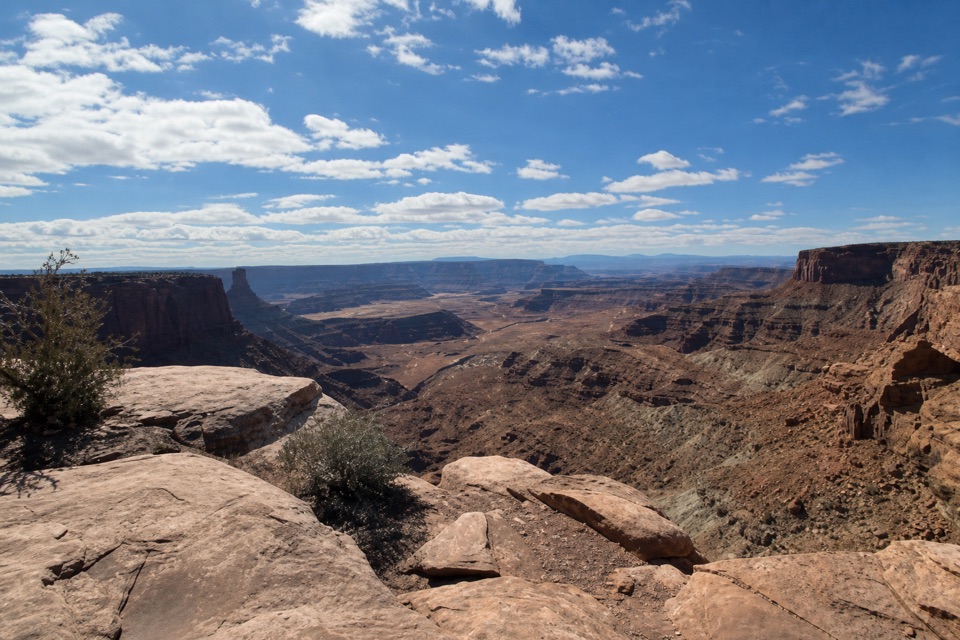
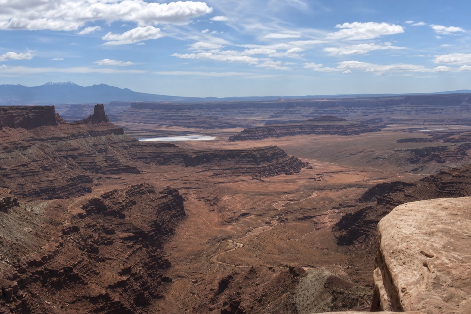
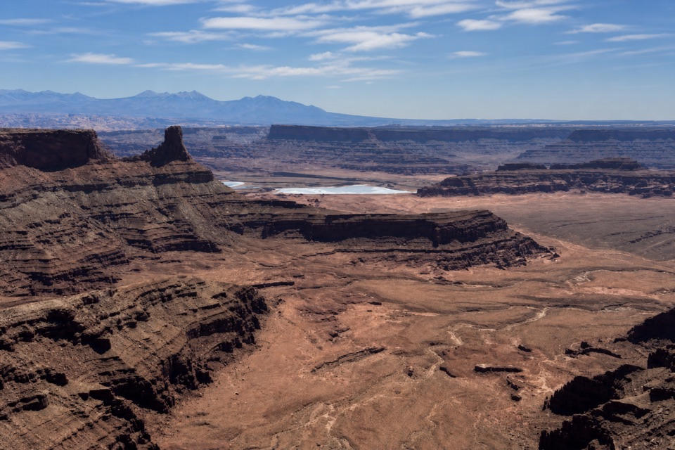
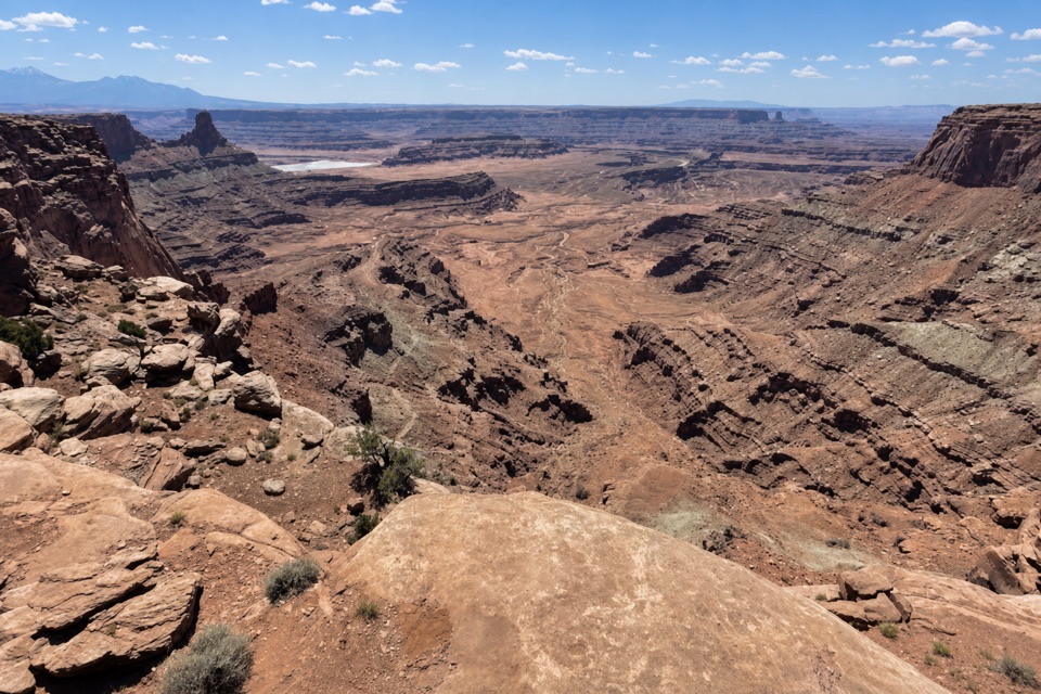
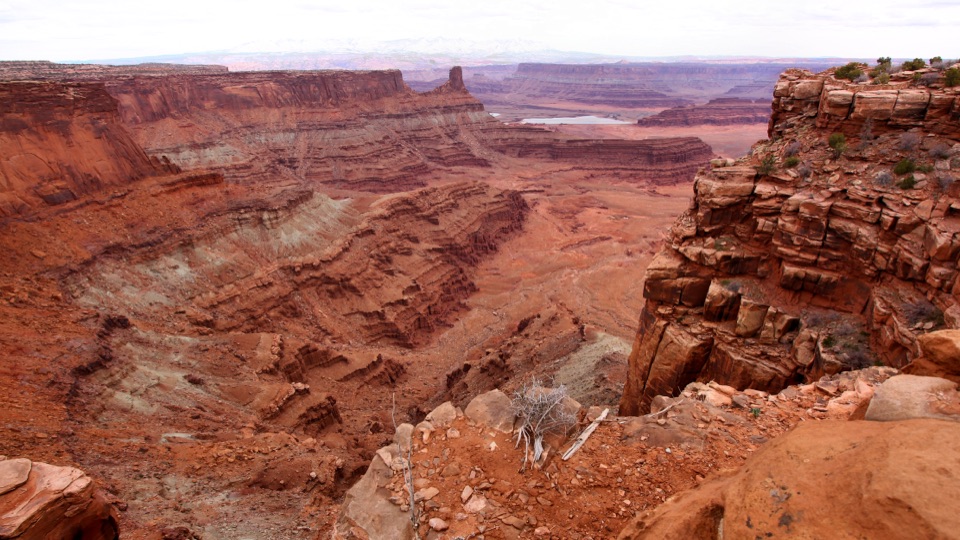
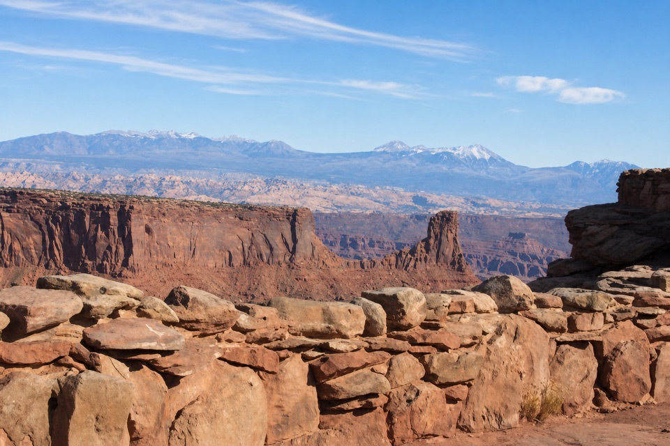
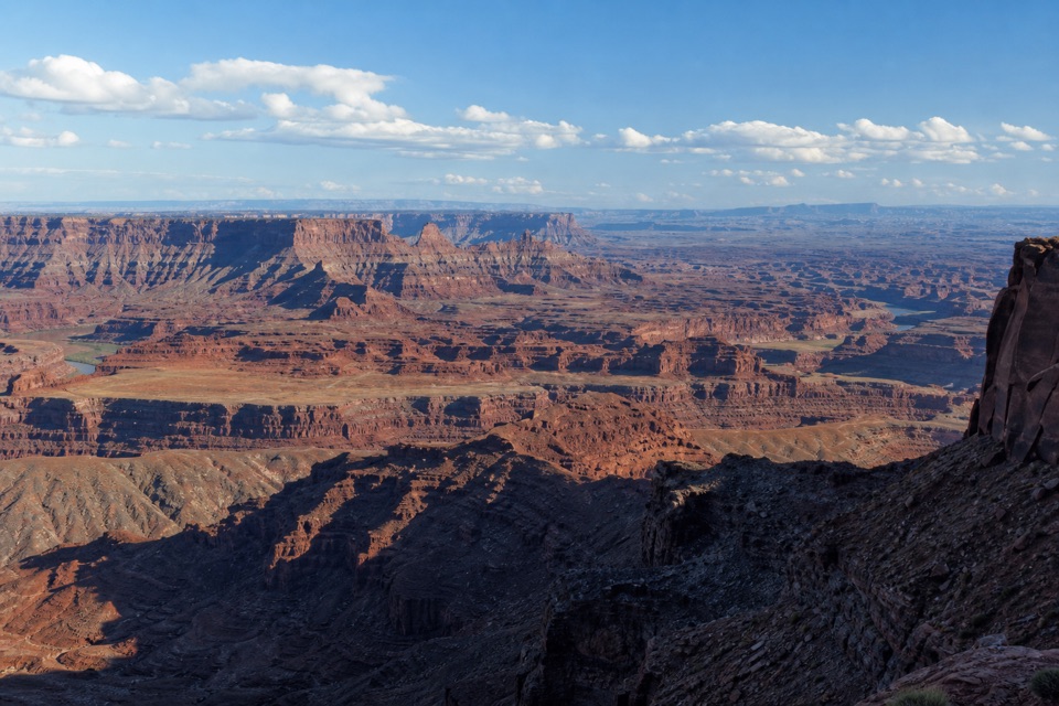
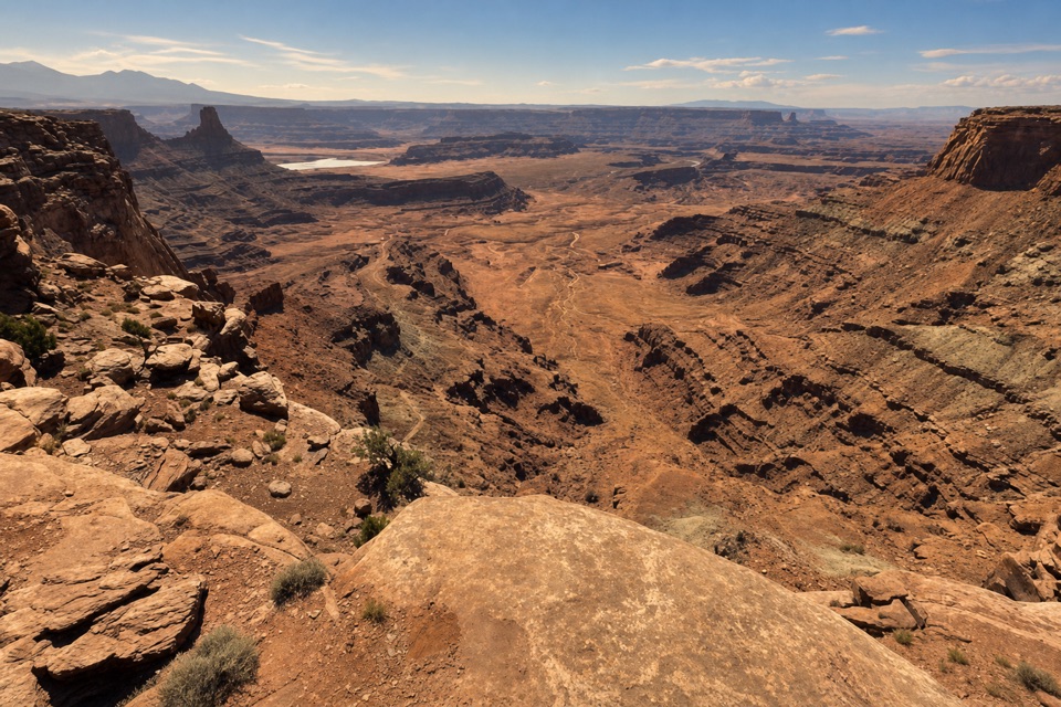
Look into the canyonThe view drops to the canyon bottom, where exposed rock layers step away from the rim.
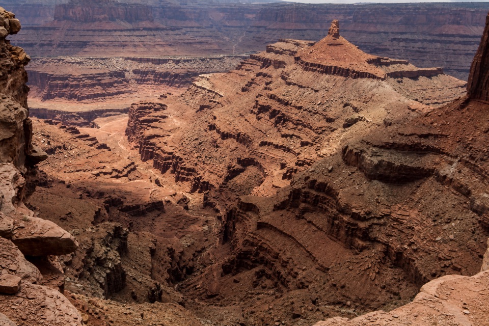
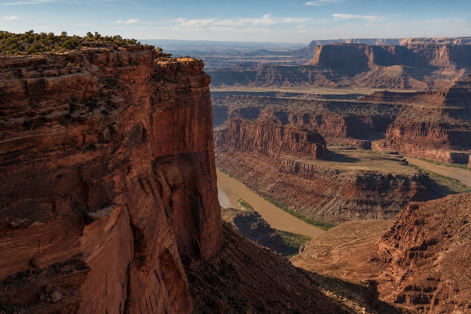
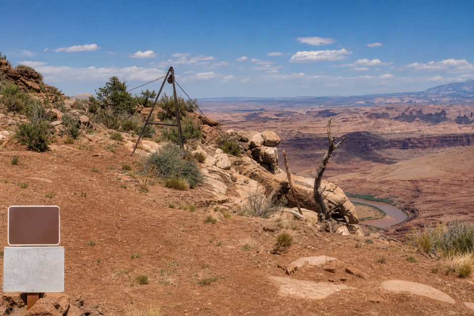
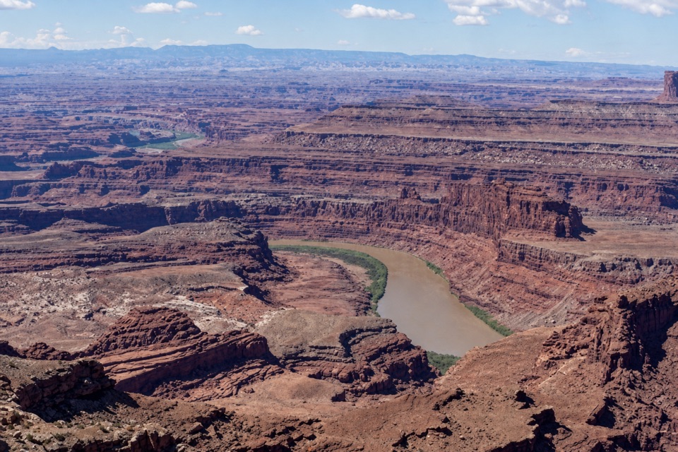
The view drops to the canyon bottom, where exposed rock layers step away from the rim. You get glimpses of the Colorado River and the Potash Ponds rather than an uninterrupted river panorama. For a photo, leave a little sandstone ledge in the foreground; it helps show the depth of the canyon.
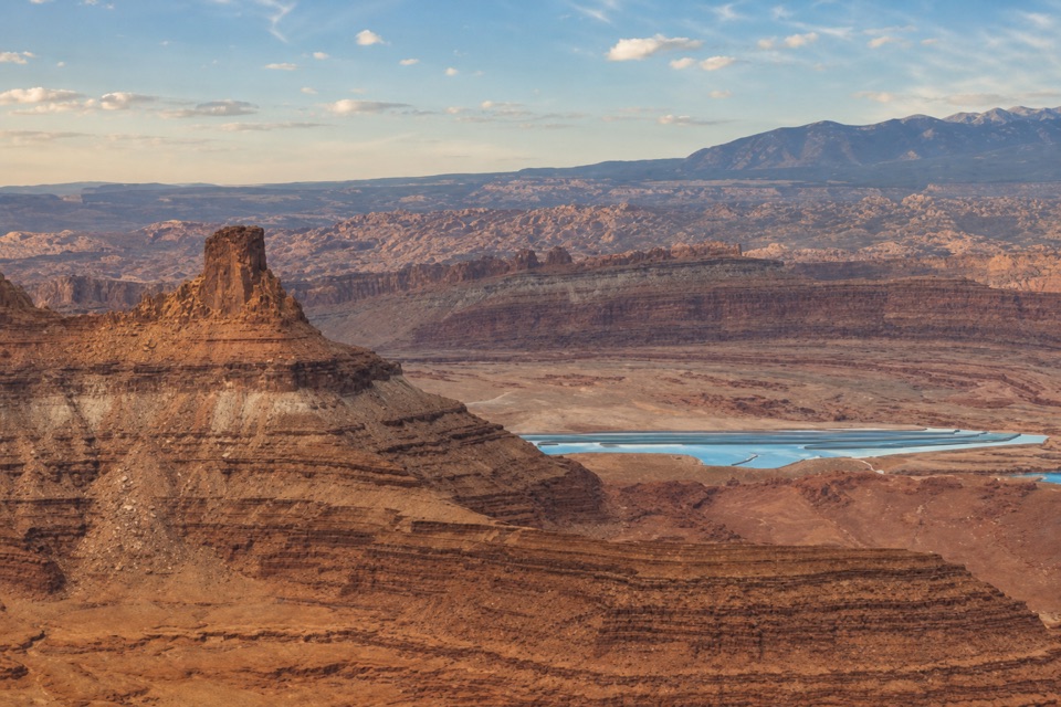
The bright patches are working pondsThe pale geometric ponds far below are solar evaporation ponds used for salt and potash mining.
The pale geometric ponds far below are solar evaporation ponds used for salt and potash mining. They’re a striking bit of working landscape inside an otherwise broken stretch of canyon country.
Look closely at the potholesWhen the slickrock pools have water, look for fairy shrimp, whirligig beetles, toad tadpoles…
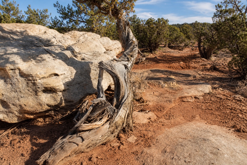
When the slickrock pools have water, look for fairy shrimp, whirligig beetles, toad tadpoles and other tiny desert life. Juniper groves along the rim may hold rabbits, lizards or mule deer, with bighorn sheep a possible but far from guaranteed sighting.
Read the layersThese canyon walls hold sediment left by ancient oceans, freshwater lakes, streams and…
These canyon walls hold sediment left by ancient oceans, freshwater lakes, streams and windblown dunes. Millions of years of erosion cut through those layers, leaving this open view into the stack.
Wildlife
Wildlife in Dead Horse Point
 33 sightingsRavenMost seen around 6 PMSighting map
 16 sightingsWhiptail LizardMost seen around 10 AMSighting map
 34 sightingsFence LizardMost seen around 8 AMSighting map
 42 sightingsSide-blotched LizardMost seen around 9 AMSighting map
Sighting maps show where each species has been reported across Dead Horse Point. Wildlife moves, so no sighting is guaranteed.