Overview
About Dead Horse Point Visitor Center
Why stop
- Geology displays make the canyon easier to read
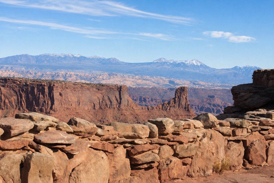
- A short walk outside reaches a dramatic canyon view
Map
Where it is

The highest, rockiest slopes around here are a summer buffet for grizzly bears.
Dead Horse Point Tour Guide
Your drive to Dead Horse Point Visitor Center, narrated.
Parkwolf is a GPS audio tour guide for Dead Horse Point State Park. As you drive, it chimes in with what’s ahead: hidden gems, upcoming stops, history, geology, and wildlife, right through your car’s speakers.
Recorded for this place
Visitor Center and Desert View“Up ahead is the visitor center, with geology exhibits, an art gallery, and a canyon view just outside.”
Plays as you drive up to Dead Horse Point Visitor Center in the Parkwolf Dead Horse Point Tour Guide.
More stories near here in the app
- Kayenta Campground
- Wingate Campground and Yurts
- Visitor Center Rim Trails
- Dead Horse Point Overlook
- 11 audio storiesacross Dead Horse Point’s roads, triggered by GPS as you drive
- Wildlife heatmapsfor Raven, Whiptail Lizard, Fence Lizard, and 1 more
- Works offlinemaps, 21 trails, 22 places, and audio download before you lose signal
- CarPlay readysimple controls built for the drive
“Fantastic app with many points of information… It’s great to just turn on while you’re driving and it gives you an audio tour of the national Park. We love it!!!!”


Guide
More about Dead Horse Point Visitor Center
Start with the park’s storyDead Horse Point Visitor Center is a midcentury visitor center and art gallery near the rim,…
Dead Horse Point Visitor Center is a midcentury visitor center and art gallery near the rim, with geology displays and a gift shop. It’s a good first stop if you want some context before the overlooks: the displays introduce the park’s geology and the features you’ll see outside.
Walk around to the east sideA short loop around the building opens onto the La Sal Mountains and the Colorado River canyon,…
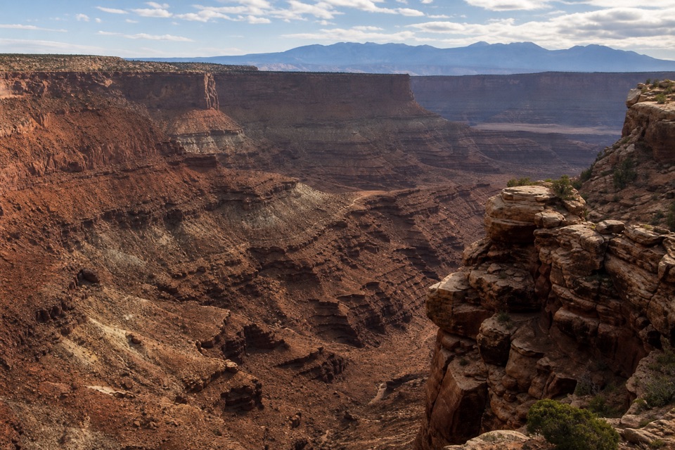
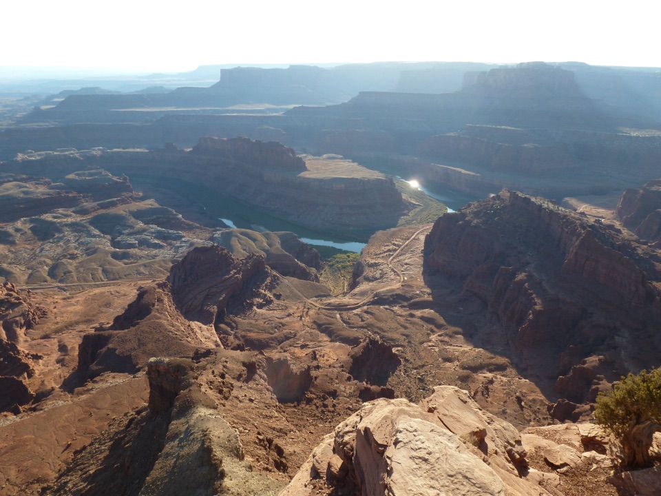
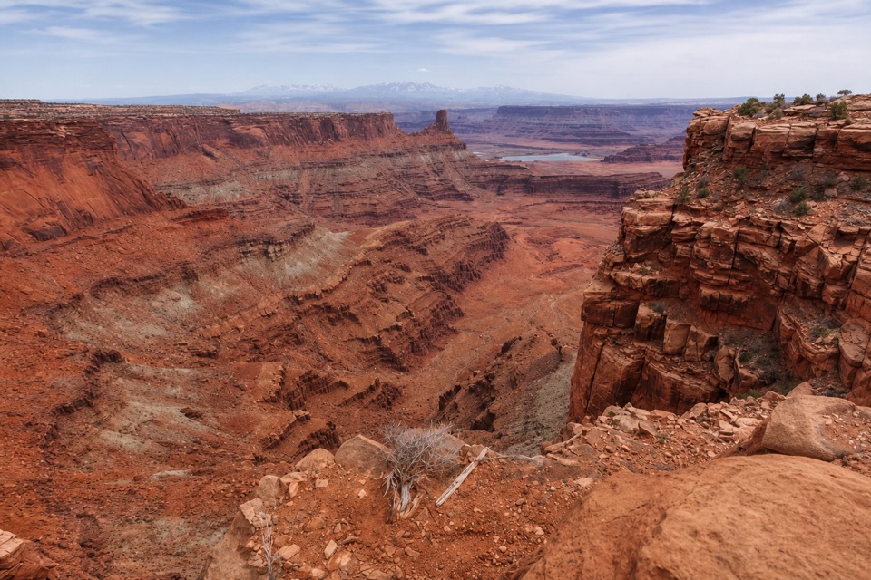
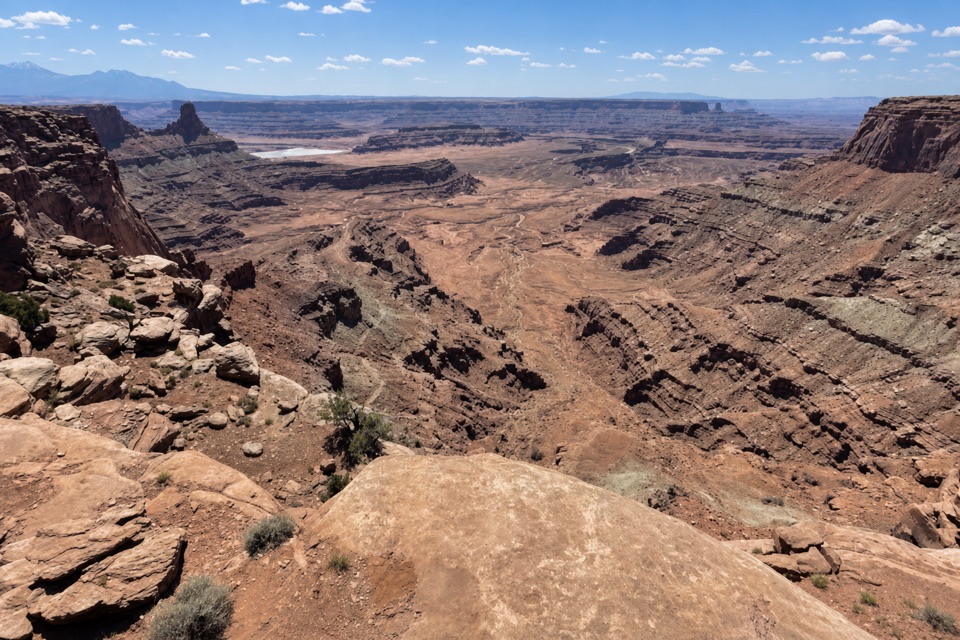
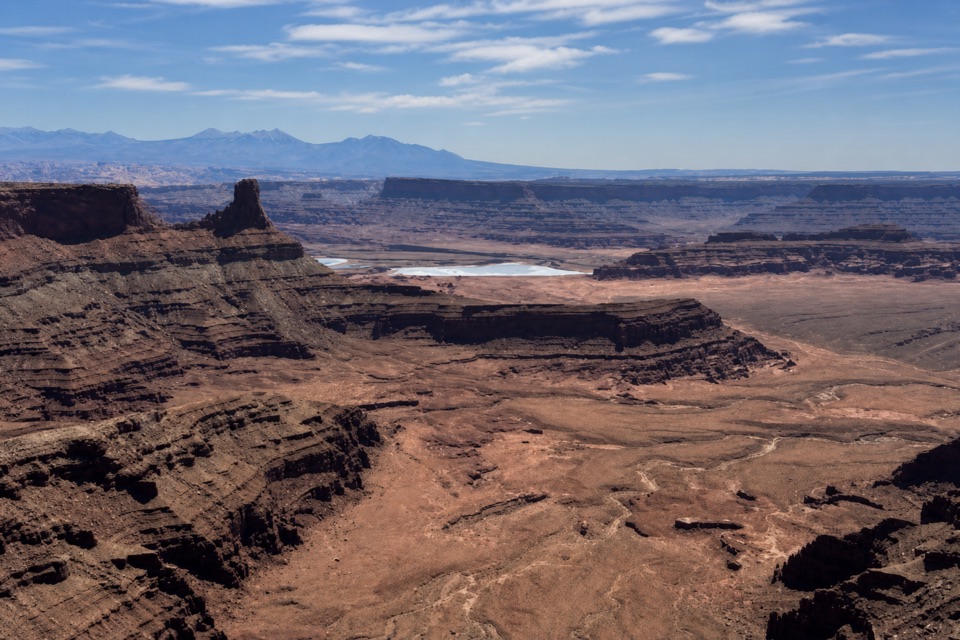
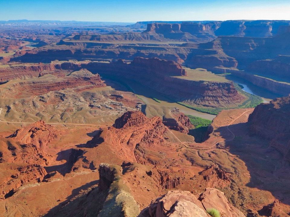
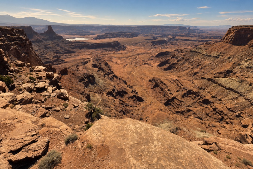
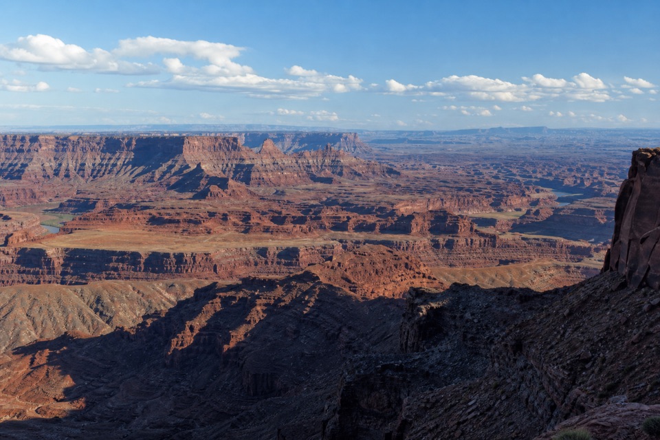
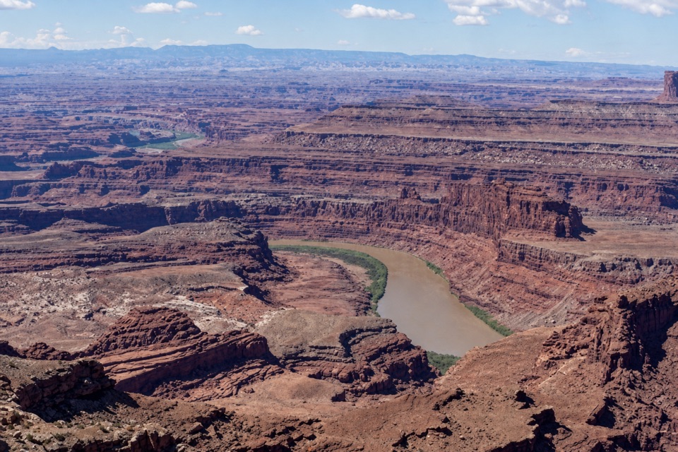
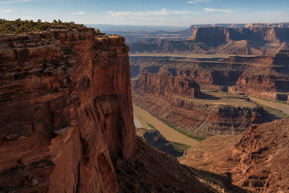
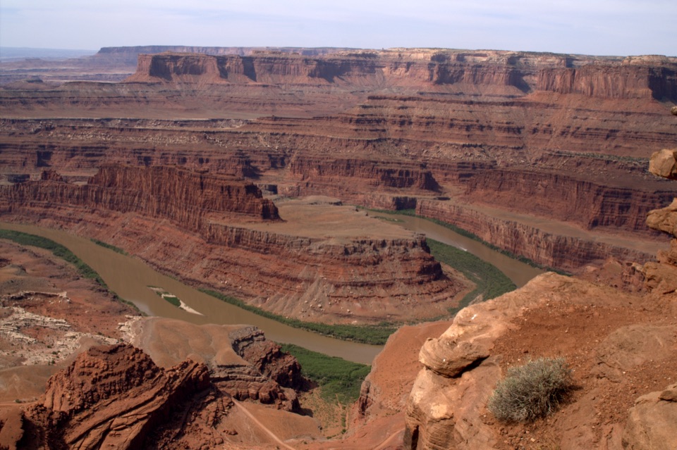
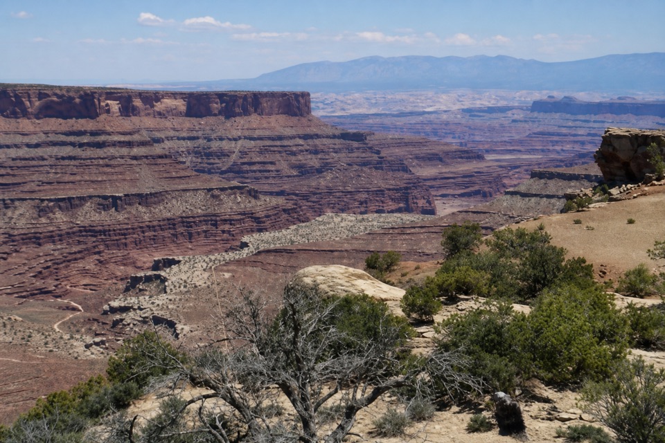
A short loop around the building opens onto the La Sal Mountains and the Colorado River canyon, roughly 2,000 feet below. The visitor-center parking area also starts hiking and mountain-bike routes. The center is separate from the namesake Dead Horse Point overlook farther south, so use it for the exhibits and nearby view, then keep going if you want the park’s signature point.
Read the canyon in layersFrom the rim you can pick out six main rock units, from Kayenta and Wingate Sandstone down…
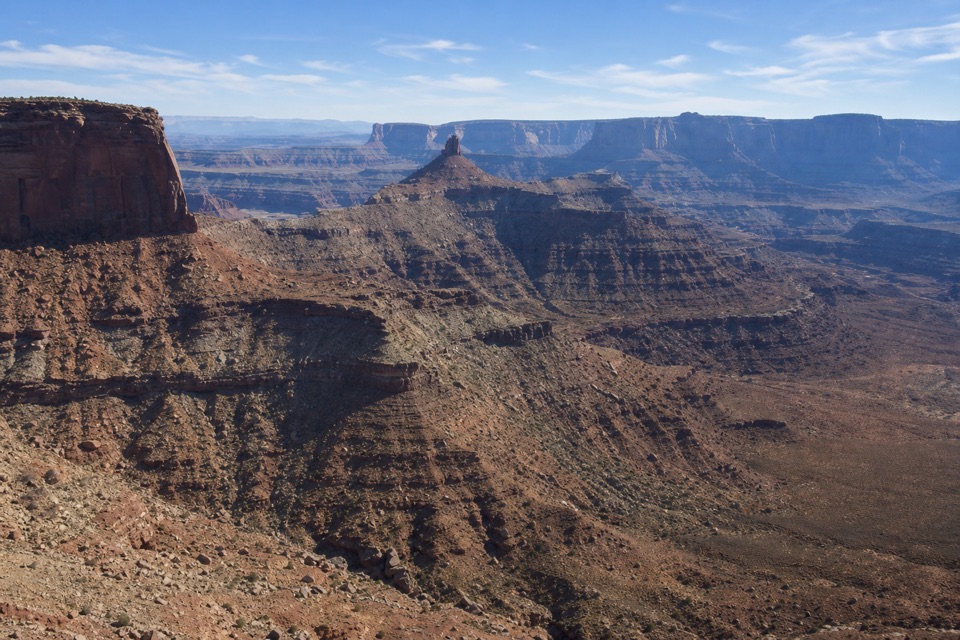
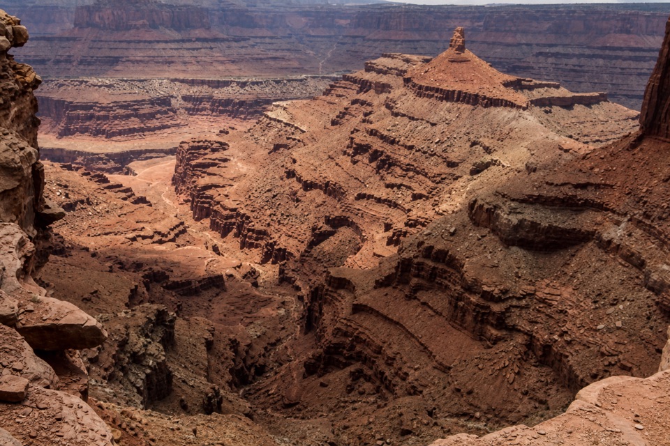
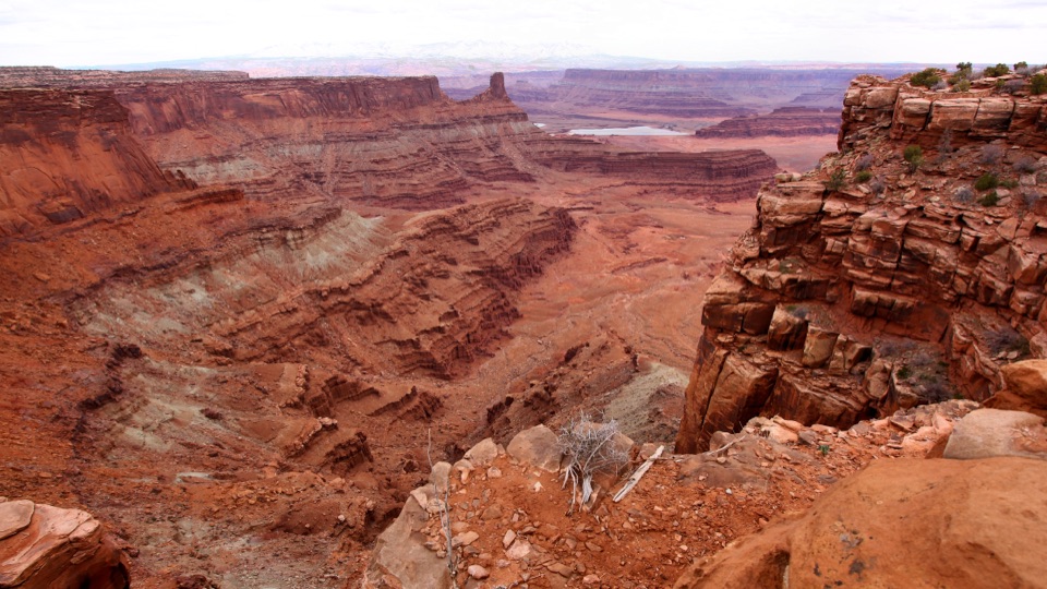
From the rim you can pick out six main rock units, from Kayenta and Wingate Sandstone down through Chinle, Moenkopi, Cutler and Honaker Trail formations. Together they record roughly 300 million years of Earth history. The layers formed from sediments left by ancient oceans, lakes, streams and windblown dunes; the center’s geology displays give you a useful primer before you look for them in the canyon walls.
The name comes with a storyThe park opened as a state park in 1959.
The park opened as a state park in 1959. Its name comes from a local legend, not settled history: cowboys supposedly left a group of mustangs corralled on the point, where they died of thirst even though the Colorado River was visible far below.
Wildlife
Wildlife in Dead Horse Point
 33 sightingsRavenMost seen around 6 PMSighting map
 16 sightingsWhiptail LizardMost seen around 10 AMSighting map
 34 sightingsFence LizardMost seen around 8 AMSighting map
 42 sightingsSide-blotched LizardMost seen around 9 AMSighting map
Sighting maps show where each species has been reported across Dead Horse Point. Wildlife moves, so no sighting is guaranteed.