Parking
Use the Dead Horse Point Visitor Center lot. The trail starts just south of the building and returns here; park entry is required.
#2 of 21 trails in Dead Horse Point
Dead Horse Point State Park, UT
The 4.4-mile loop links both rims at Dead Horse Point.
Overview
Map & elevation
Plan your hike

The highest, rockiest slopes around here are a summer buffet for grizzly bears.
Dead Horse Point Tour Guide
Parkwolf is a GPS audio tour guide for Dead Horse Point State Park. As you drive, it chimes in with what’s ahead: hidden gems, upcoming stops, history, geology, and wildlife, right through your car’s speakers.
Recorded for this trailhead
Visitor Center Rim Trails“You're nearing the visitor center's rim-trail access, where the East and West Rim trails make a half-day loop to Dead Horse Point.”
Plays as you drive up to this trailhead in the Parkwolf Dead Horse Point Tour Guide.
More stories near here in the app
“Fantastic app with many points of information… It’s great to just turn on while you’re driving and it gives you an audio tour of the national Park. We love it!!!!”


Trail guide
East and West Rim Loop is a 4.4-mile circuit from the south side of Dead Horse Point Visitor Center. A short connecting path leads to the West Rim; the route follows it south to Dead Horse Point, then returns on the East Rim. Most of the walk stays on the mesa top, with gentle ups and downs rather than a sustained climb. It’s a good half-day choice if you want more than the famous overlook. Plan on a moderate outing and leave time to stop at the point.
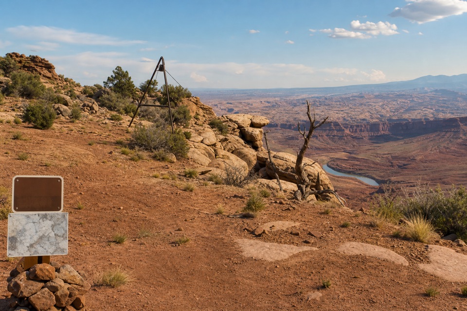
From the Visitor Center, the connecting path passes the restrooms, crosses the park road and skirts the campground before reaching the West Rim. This side feels more primitive and is usually quieter than the East Rim. The trail rolls across exposed sandstone and slickrock; watch for cairns, rock lines and wooden markers where the tread fades. Near the peninsula’s narrow neck, the path runs alongside the road before it reaches Dead Horse Point.
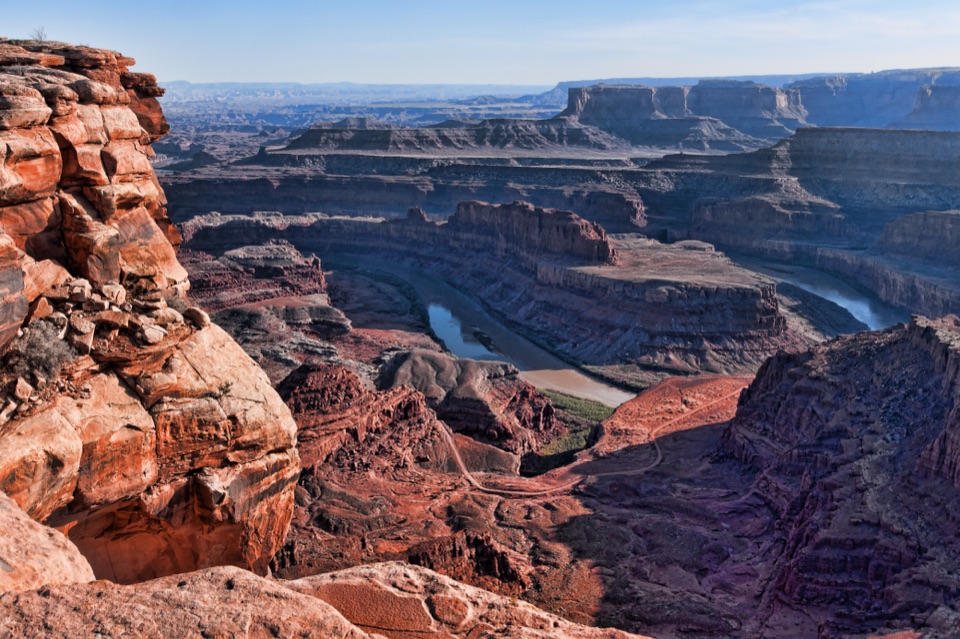
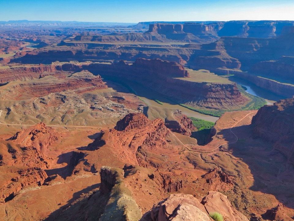
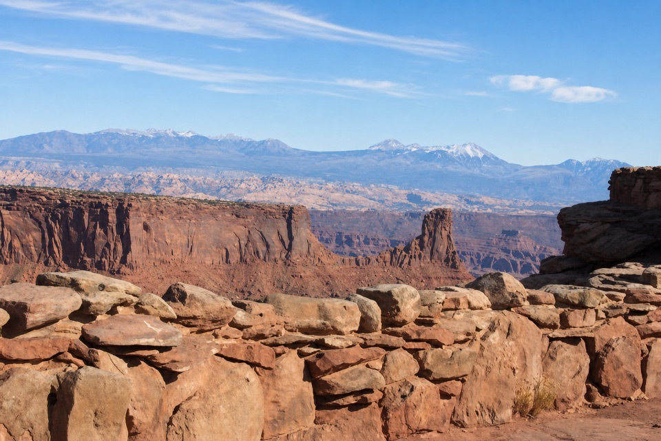
The point is the big payoff: the Colorado River bends through canyon country roughly 2,000 feet below. A short paved approach reaches the main overlook. Leave a little foreground sandstone in a photo; it helps show the height of the rim. The East Rim return is mostly flat, with a short hill near the Visitor Center. Near the point it crosses paved path and slickrock, then turns to gravel along the rim above Shafer Basin. The La Sal Mountains rise to the east, and you can pick out the milky-blue evaporation ponds used for salt and potash mining.
The 4.4-mile line here leaves the Meander, Shafer Canyon, Rim and Basin overlook spurs off the route. They’re worthwhile extensions, but their distances add up: taking all the side trips can make the day about 8.8 miles. If that’s more than you want, walk the East Rim to Dead Horse Point and turn back the same way; you’ll still get the main river view without doing both rims.
The Colorado River has cut about 2,000 feet into this landscape, exposing rock layers that record roughly 300 million years. Pale Entrada Sandstone sits near the cliff tops; the Honaker Trail Formation is down at river level. The layers formed from sediment left by ancient oceans, lakes and streams, along with wind-blown dunes. From the East Rim, the evaporation ponds add a striking human-made patch of color to that much older landscape.
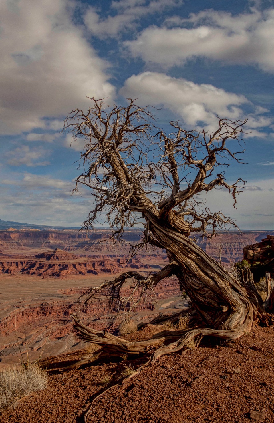
The park shares a story about its name as a legend, not a confirmed event: around the turn of the twentieth century, cowboys supposedly drove wild mustangs through a neck of land only 30 yards wide, then left them without water. On the trail, look into the sandstone potholes when they hold water; they can shelter fairy shrimp, whirligig beetles and toad tadpoles. Juniper groves may turn up rabbits, lizards or mule deer. Some high-desert trees are hundreds of years old while standing only about 15 feet tall.
Use the Visitor Center lot and begin on the south side of the building. Park entry is required. Restrooms are available at the Visitor Center and Dead Horse Point, where there are also picnic tables and shade structures. Drinking water is listed at the Visitor Center; a refill point farther along the route wasn’t confirmed, so fill up before leaving. The Visitor Center has a gift shop, but food service along the walk wasn’t found. Dogs are allowed on park hiking trails when leashed.
Wildlife
 33 sightingsRavenMost seen around 6 PMSighting map
 16 sightingsWhiptail LizardMost seen around 10 AMSighting map
 34 sightingsFence LizardMost seen around 8 AMSighting map
 42 sightingsSide-blotched LizardMost seen around 9 AMSighting map
Sighting maps show where each species has been reported across Dead Horse Point. Wildlife moves, so no sighting is guaranteed.
Keep exploring
 EasyEast Rim Trail to Dead Horse Point1.7 mi · 1 hr · At the trailheadEasy rim walking ends above the Colorado River canyon.
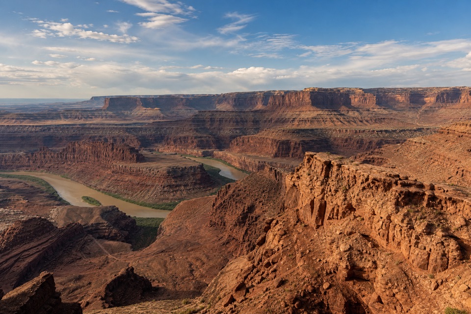 EasyBasin Overlook Trail1.6 mi · 45 min · At the trailheadA short East Rim walk to a shelf above Pyramid Butte.
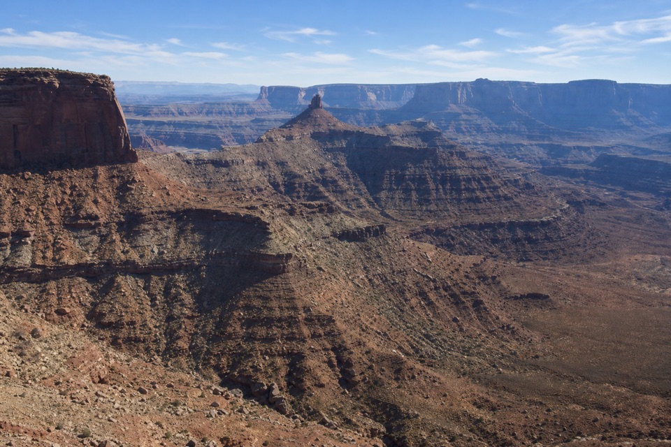 EasyRim Overlook Trail2 mi · 1.5 hr · At the trailheadA 2-mile out-and-back to a shelf above Shafer Canyon.
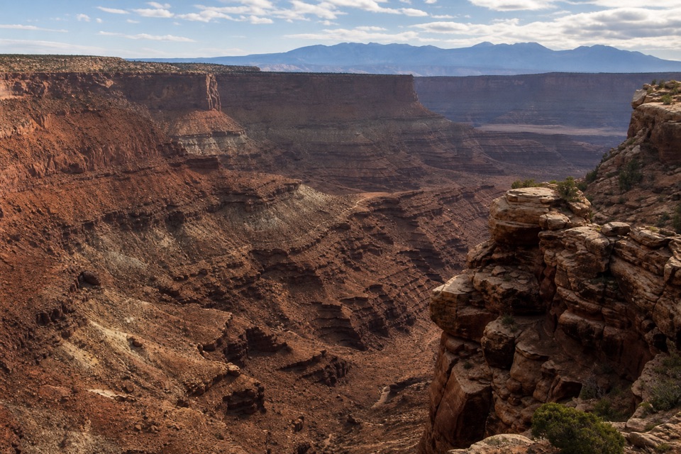 ModerateBighorn Overlook Trail3 mi · 2 hr · At the trailheadCairns lead to deep potholes and a distant horn-shaped fin.
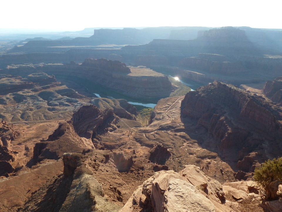 ModerateWest Rim Trail2.9 mi · 1.8 hr · At the trailheadCairn-marked slickrock ends above the Colorado River.
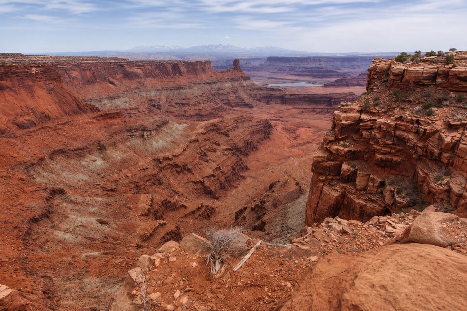 ModerateShafer Canyon Overlook Trail3.3 mi · 2 hr · At the trailheadCairned slickrock leads to a first glimpse of the Colorado River.
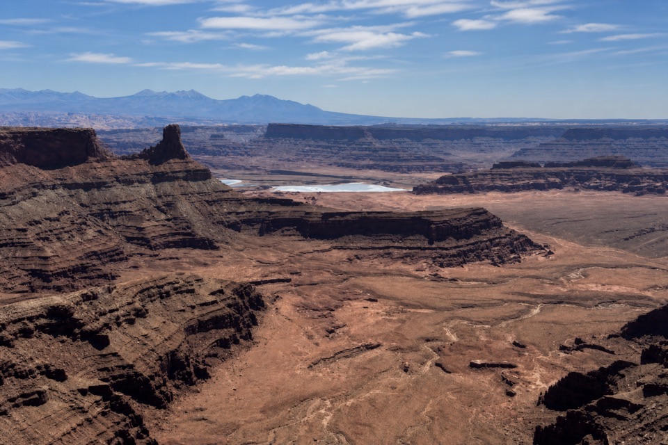 EasyVisitor Center Nature Trail0.3 mi · 30 min · At the trailheadA short paved walk for desert exhibits and basin views.
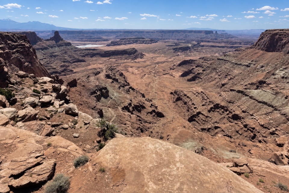 EasyDesert View Overlook Trail1 mi · 36 min · At the trailheadAn easy rim walk to potholes and Colorado River views.
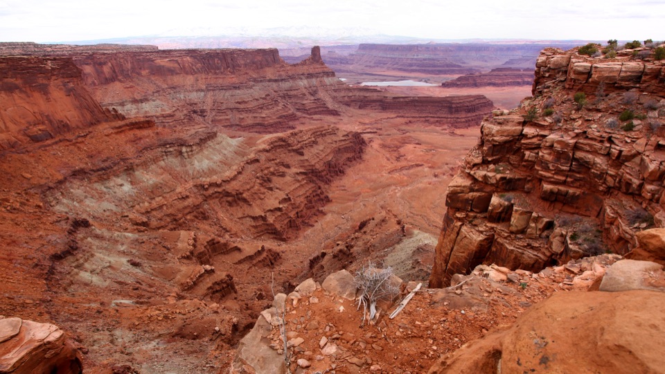 Visitor center · At the trailheadDead Horse Point Visitor CenterA geology primer with a canyon view right outside.
 Food · At the trailheadPony Expresso Coffee ShopA quick caffeine stop beside the visitor center, if still operating.
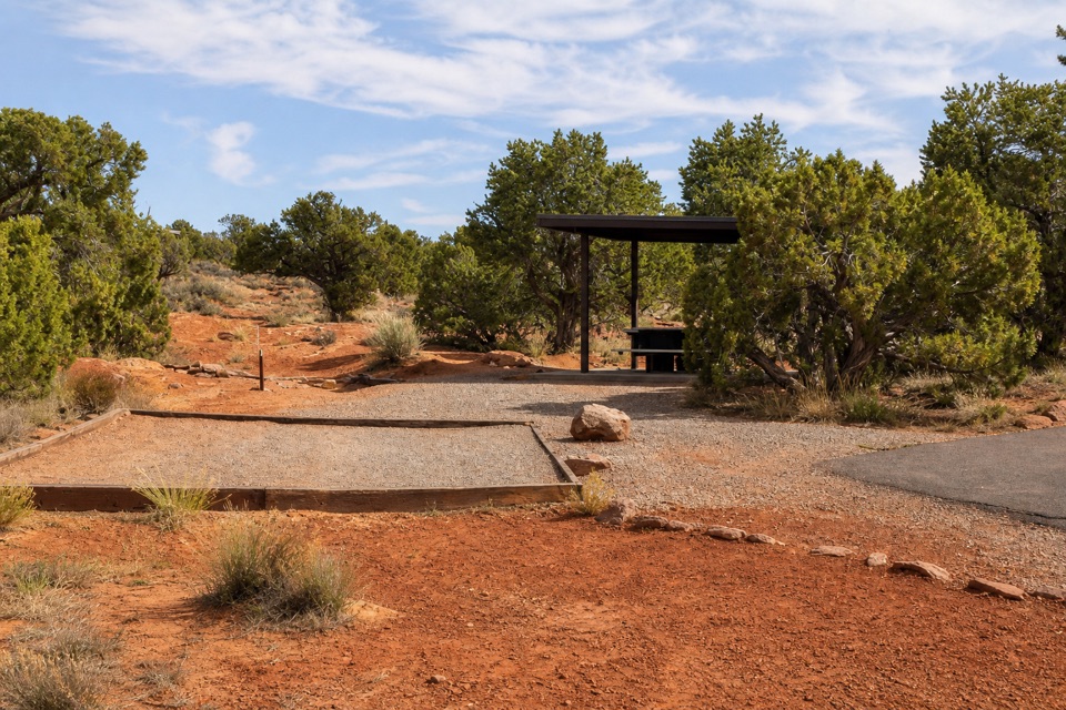 Campground · 0.2 mi awayKayenta CampgroundJuniper shade gives this small campground a tucked-in feel.
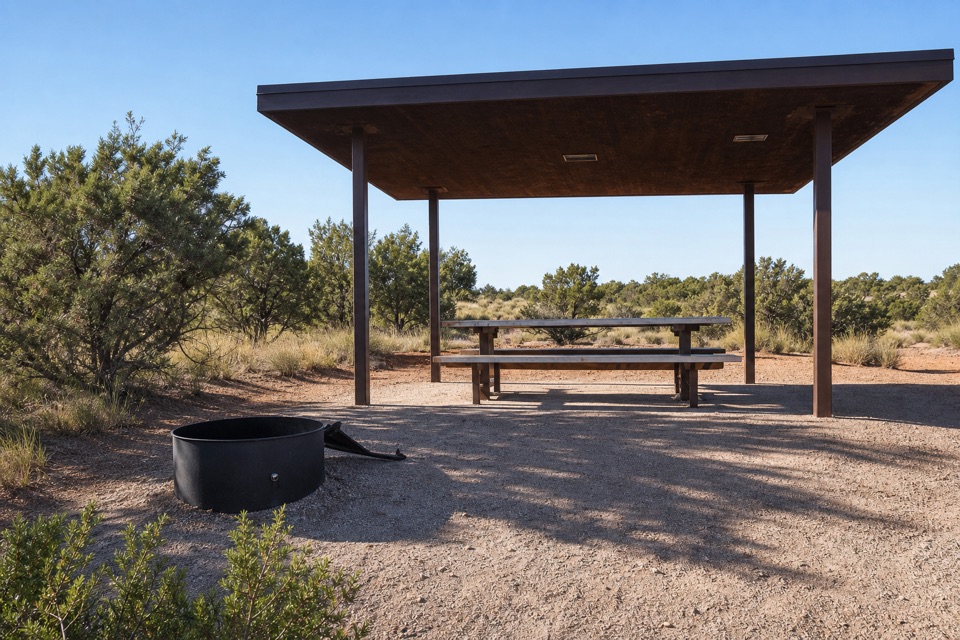 Campground · 0.4 mi awayWingate Campground & YurtsPick from electric sites, walk-in tents, and four mesa-top yurts.
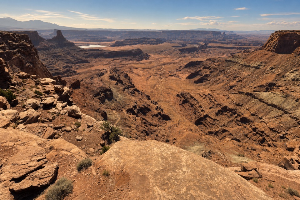 Sight · 0.5 mi awayDesert View OverlookAn easy half-mile walk for canyon layers and a different rim view.
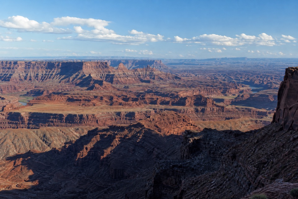 Sight · 0.6 mi awayBasin OverlookA quieter shelf for La Sal Mountains, canyon towers and mining ponds.
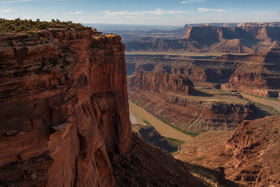 Sight · 0.8 mi awayMeander OverlookA few steps off the trail for the river’s broad bend.
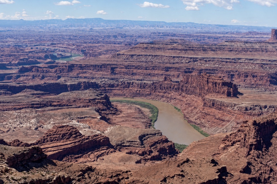 Sight · 0.8 mi awayRim OverlookA West Rim spur for an eastward look into Canyonlands.
Parkwolf’s Dead Horse Point ranking

The audio tour guide for the drive, plus offline maps, trails, and wildlife heatmaps for when the signal drops.