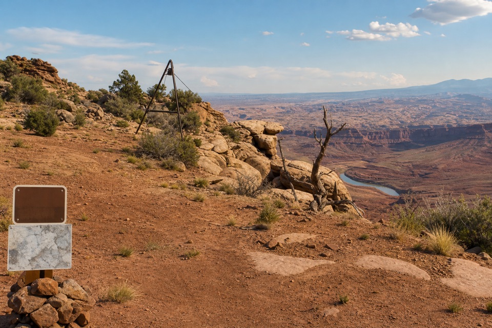
Parking
Start at the designated Dead Horse Point overlook parking lot; the paved path to the viewpoint begins there.
#1 of 21 trails in Dead Horse Point
Dead Horse Point State Park, UT
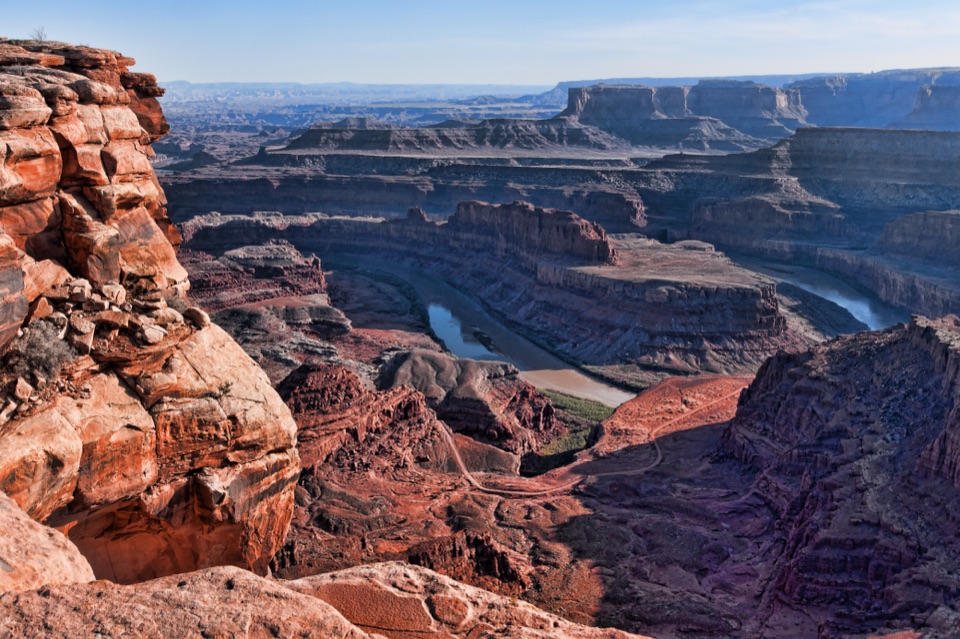
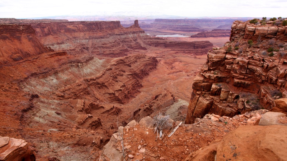
A paved path to the Colorado River, 2,000 feet below.
Overview
Map & elevation
Plan your hike

The highest, rockiest slopes around here are a summer buffet for grizzly bears.
Dead Horse Point Tour Guide
Parkwolf is a GPS audio tour guide for Dead Horse Point State Park. As you drive, it chimes in with what’s ahead: hidden gems, upcoming stops, history, geology, and wildlife, right through your car’s speakers.
Recorded for this trailhead
Dead Horse Point Overlook“You're coming up on Dead Horse Point Overlook, the stop I'd keep if you only have time for one canyon view.”
Plays as you drive up to this trailhead in the Parkwolf Dead Horse Point Tour Guide.
More stories near here in the app
“Fantastic app with many points of information… It’s great to just turn on while you’re driving and it gives you an audio tour of the national Park. We love it!!!!”


Trail guide
The Overlook Trail is a paved out-and-back from the overlook parking lot to the main shelter and Colorado River viewpoint. The mapped path is about 0.07 mile each way, or 0.14 mile round trip. It takes only a few minutes to walk; give yourself around 15 minutes if you want to sit under the shelter and take in the canyon.
The paved main path is ADA accessible and easy. At the shelter, other paved paths branch east and west toward more viewpoints and the East and West Rim trails. Those are separate extensions, not part of this short walk; they climb more steeply and include short slickrock sections, and they aren’t ADA accessible.
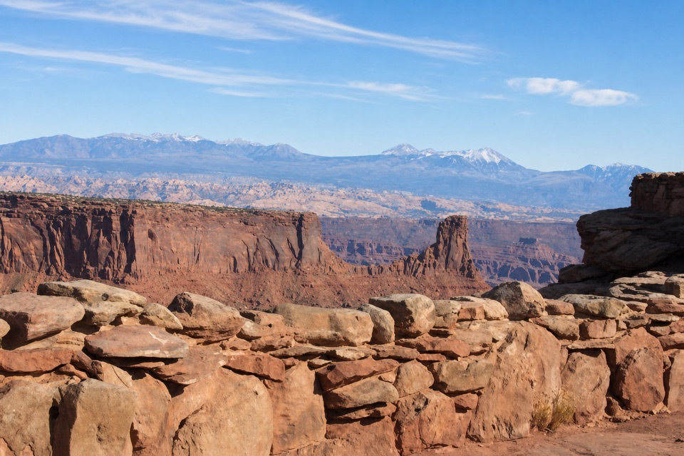
The overlook faces the Colorado River and canyon country roughly 2,000 feet below. The bands in the cliffs come from sediments laid down by ancient oceans, lakes, streams, and windblown dunes. For a photo, leave some of the red rim in the foreground and catch the river bend below it; that gives the canyon its scale.
A local legend says cowboys once fenced off the narrow neck of the point to corral wild mustangs, then left some of the horses without water. The story says they died within sight of the Colorado River. It’s a grim story, but it’s told as legend rather than established history.
Wildlife
 33 sightingsRavenMost seen around 6 PMSighting map
 16 sightingsWhiptail LizardMost seen around 10 AMSighting map
 34 sightingsFence LizardMost seen around 8 AMSighting map
 42 sightingsSide-blotched LizardMost seen around 9 AMSighting map
Sighting maps show where each species has been reported across Dead Horse Point. Wildlife moves, so no sighting is guaranteed.
Keep exploring
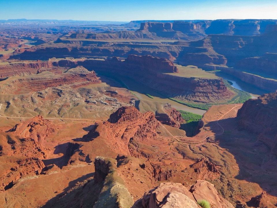 ModerateEast and West Rim Loop4.4 mi · 4 hr · 1.2 mi awayThe 4.4-mile loop links both rims at Dead Horse Point.
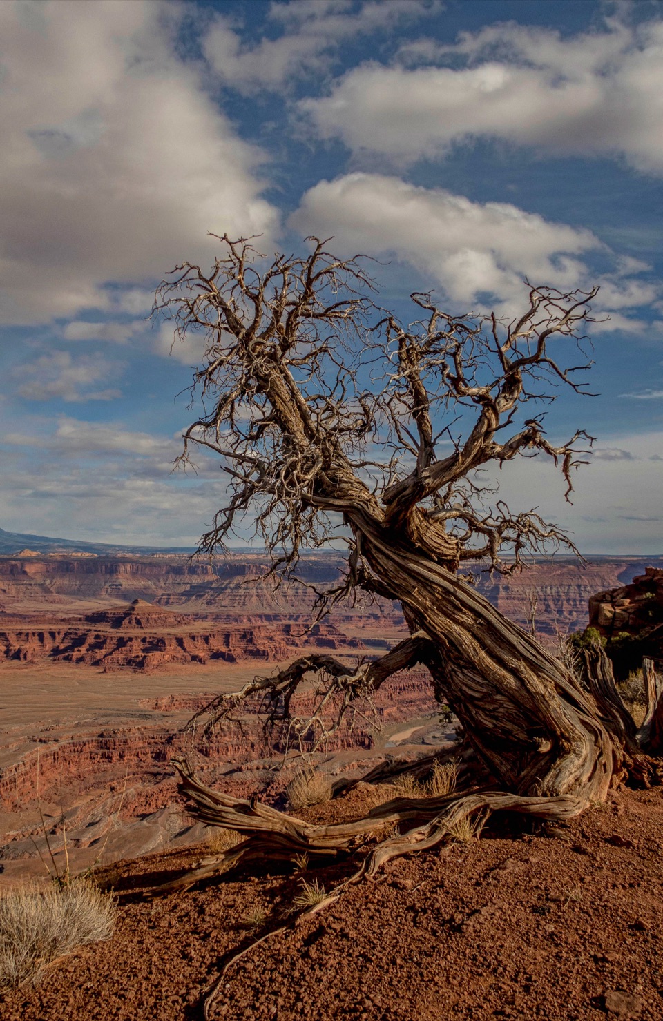 EasyEast Rim Trail to Dead Horse Point1.7 mi · 1 hr · 1.2 mi awayEasy rim walking ends above the Colorado River canyon.
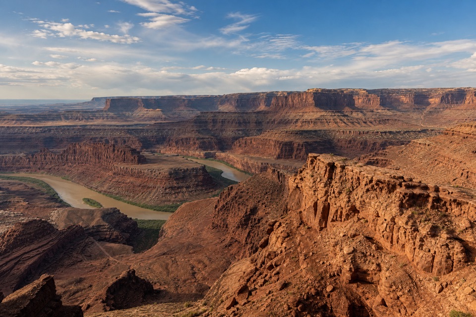 EasyBasin Overlook Trail1.6 mi · 45 min · 1.2 mi awayA short East Rim walk to a shelf above Pyramid Butte.
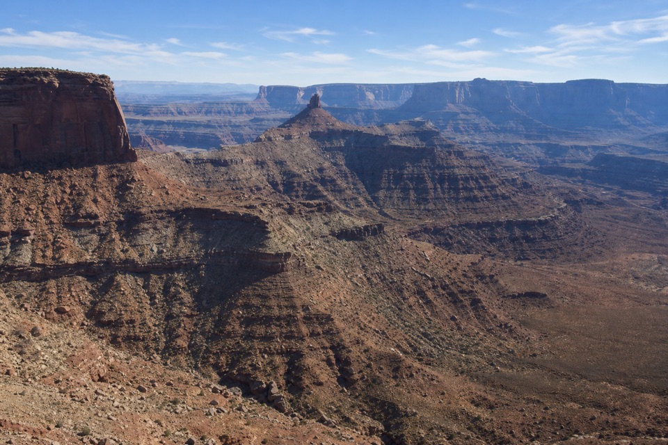 EasyRim Overlook Trail2 mi · 1.5 hr · 1.2 mi awayA 2-mile out-and-back to a shelf above Shafer Canyon.
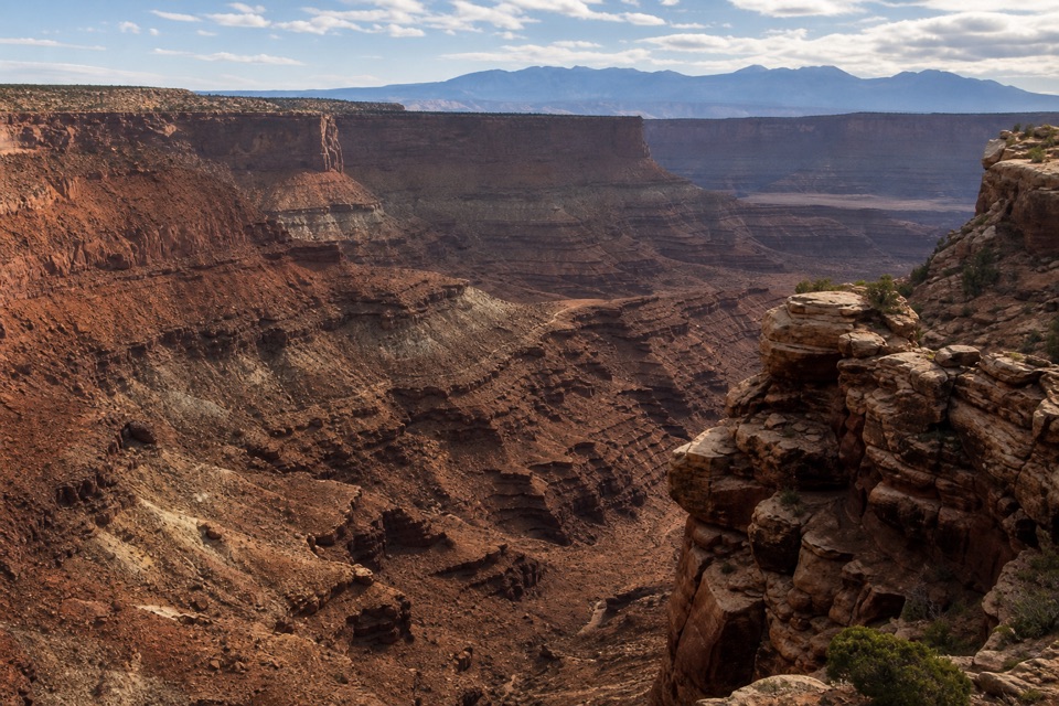 ModerateBighorn Overlook Trail3 mi · 2 hr · 1.2 mi awayCairns lead to deep potholes and a distant horn-shaped fin.
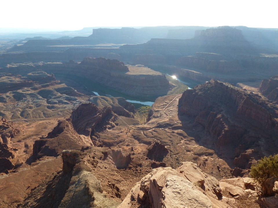 ModerateWest Rim Trail2.9 mi · 1.8 hr · 1.2 mi awayCairn-marked slickrock ends above the Colorado River.
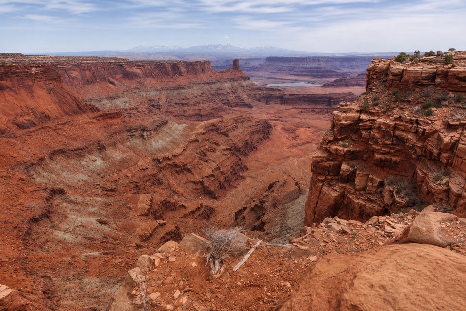 ModerateShafer Canyon Overlook Trail3.3 mi · 2 hr · 1.2 mi awayCairned slickrock leads to a first glimpse of the Colorado River.
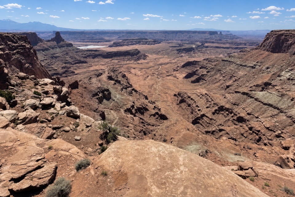 EasyDesert View Overlook Trail1 mi · 36 min · 1.2 mi awayAn easy rim walk to potholes and Colorado River views.
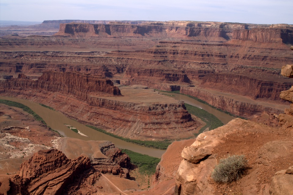 Sight · 0.1 mi awayDead Horse Point OverlookA short paved stroll to a huge river bend, 2,000 feet below.
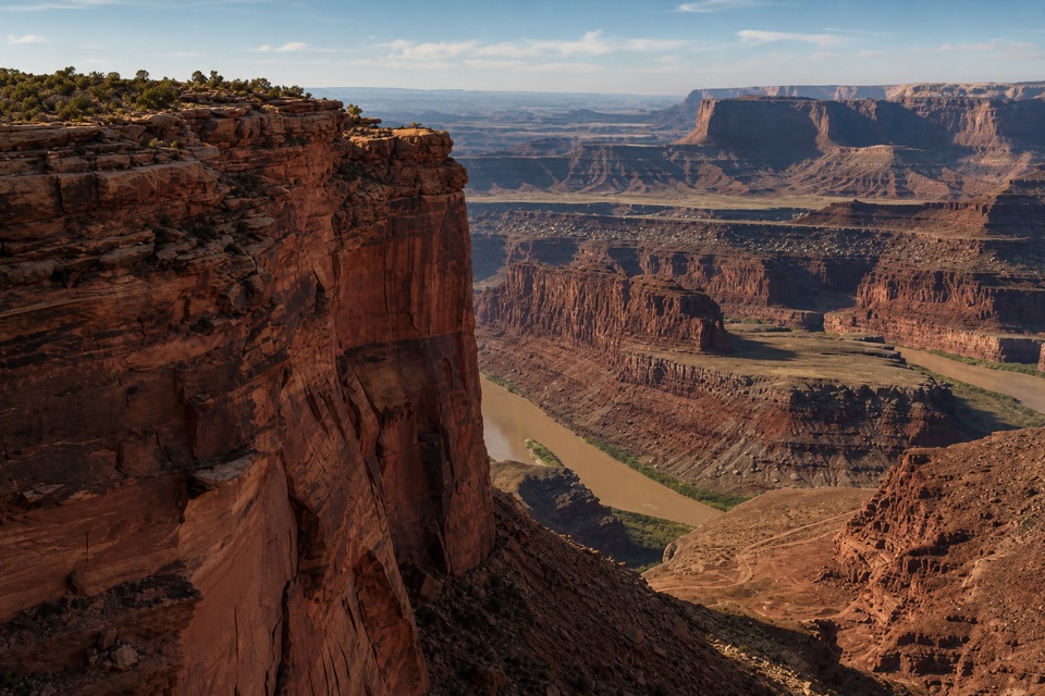 Sight · 0.7 mi awayMeander OverlookA few steps off the trail for the river’s broad bend.
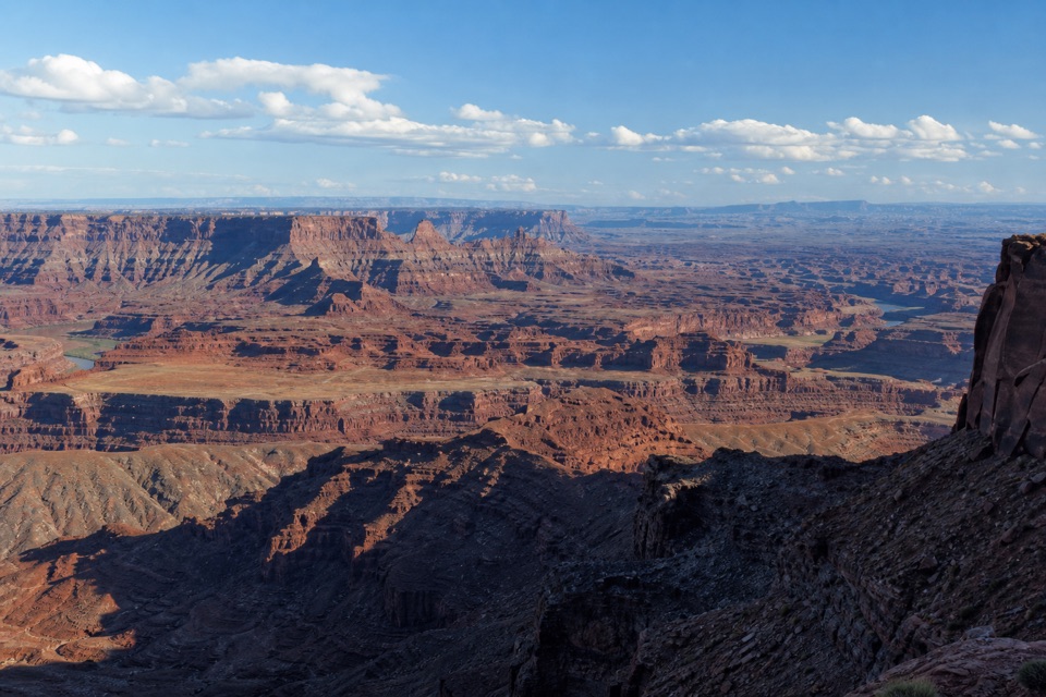 Sight · 0.7 mi awayBasin OverlookA quieter shelf for La Sal Mountains, canyon towers and mining ponds.
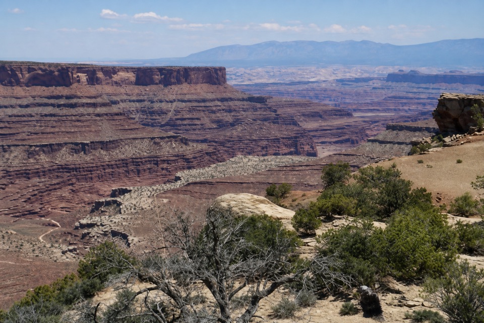 Sight · 0.9 mi awayShafer Canyon OverlookA West Rim spur opens onto Shafer Canyon above the river.
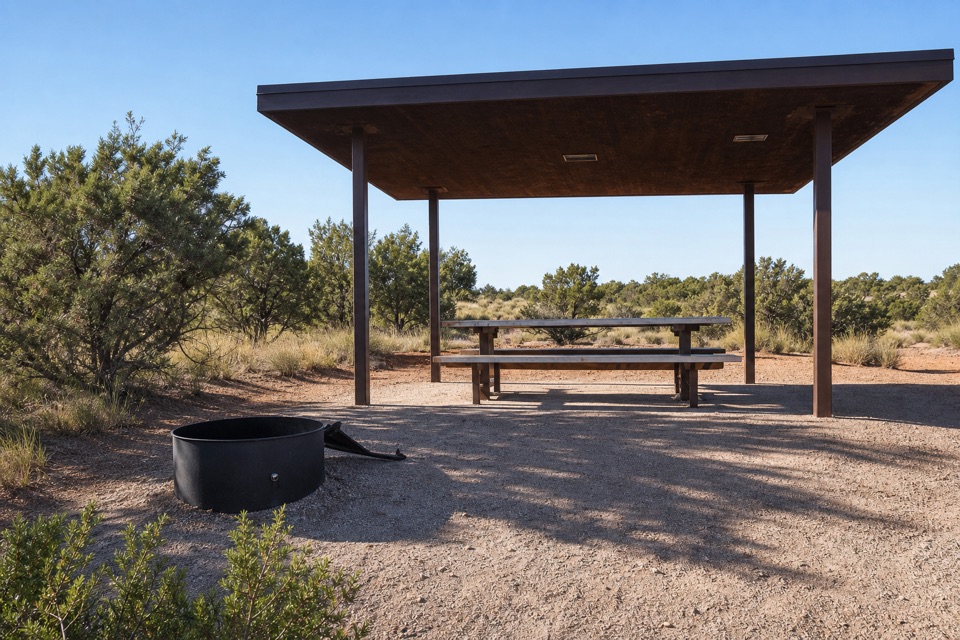 Campground · 0.9 mi awayWingate Campground & YurtsPick from electric sites, walk-in tents, and four mesa-top yurts.
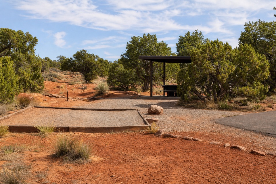 Campground · 1.1 mi awayKayenta CampgroundJuniper shade gives this small campground a tucked-in feel.
 Visitor center · 1.2 mi awayDead Horse Point Visitor CenterA geology primer with a canyon view right outside.
 Food · 1.2 mi awayPony Expresso Coffee ShopA quick caffeine stop beside the visitor center, if still operating.
Parkwolf’s Dead Horse Point ranking

The audio tour guide for the drive, plus offline maps, trails, and wildlife heatmaps for when the signal drops.