Cable Line Trail in Dead Horse Point State Park

#6 of 21 trails in Dead Horse Point

Dead Horse Point State Park, UT

Cable Line Trail

A mesa hike to a historic cable support

Length
6.1mi
Time
3.5hr
Elev. change
151ft
Difficulty
Moderate
  • Dogs allowed
  • High point 6,037 ft

Hear the audio tour

Moenkopi Yurts

Overview

About Cable Line Trail

Why go

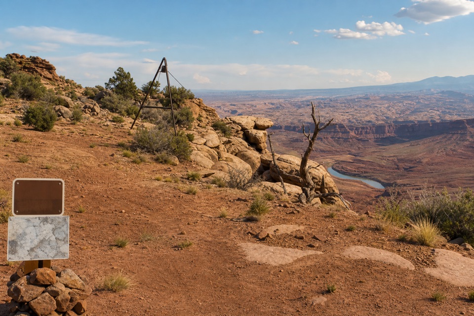
  • A surviving cable support gives the remote route a distinct historical destination.
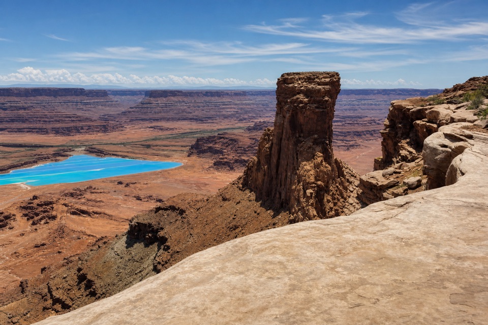
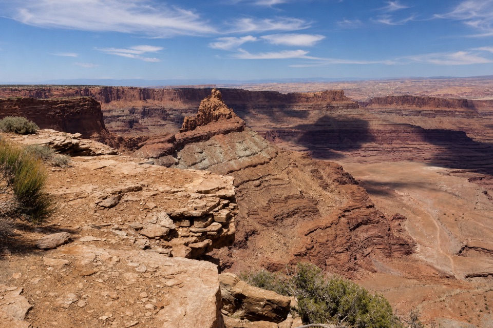
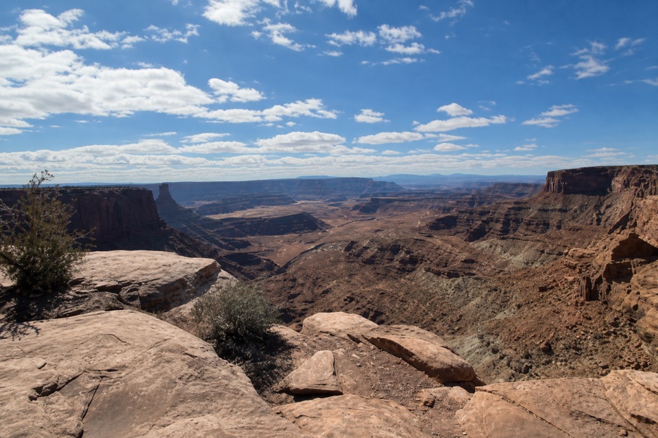
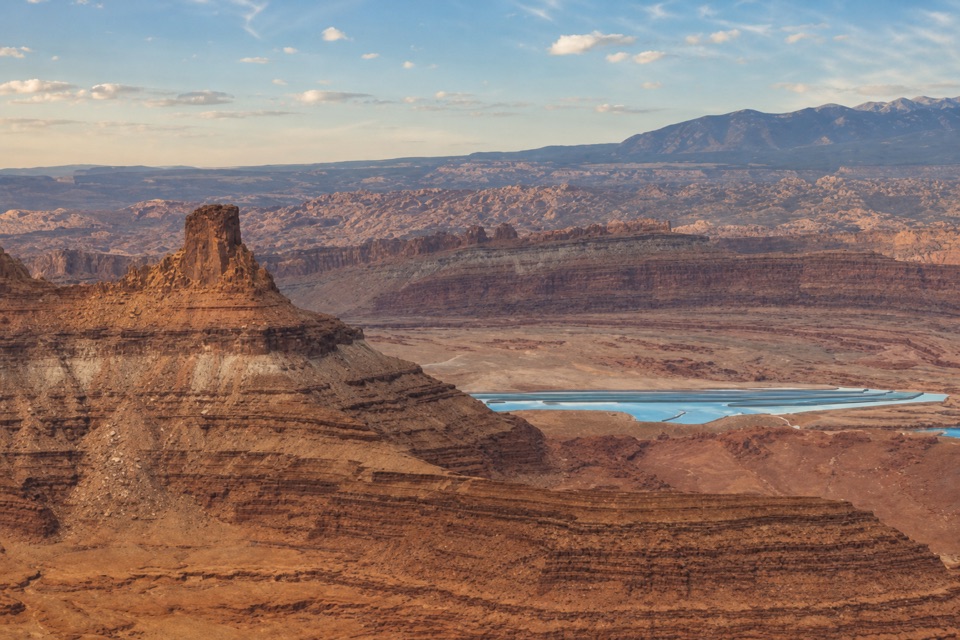
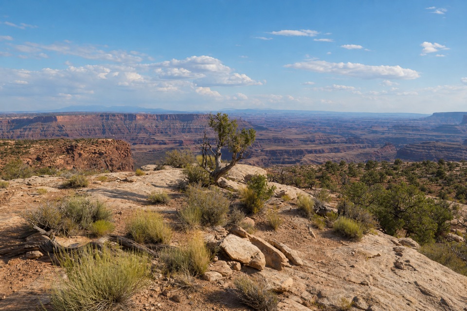
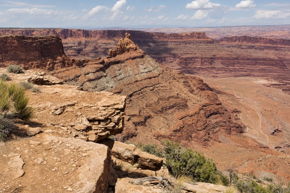
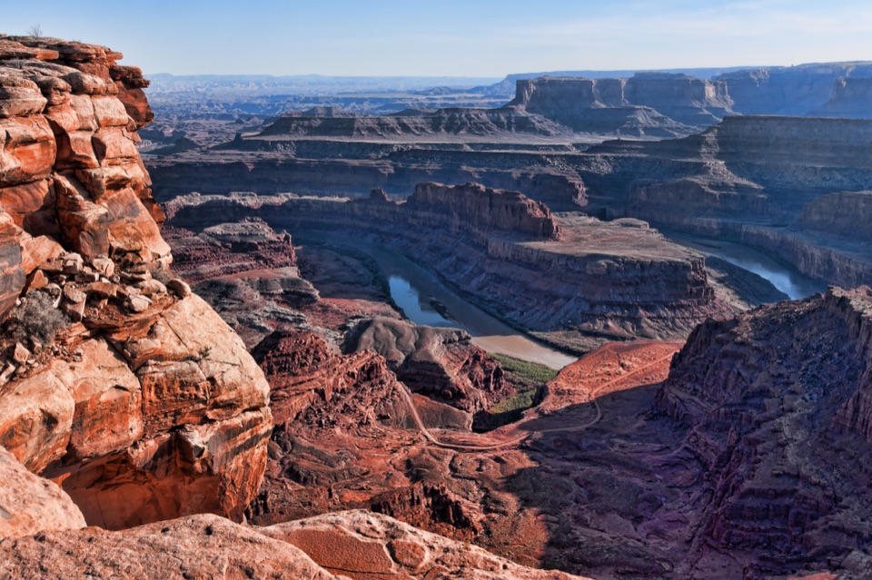
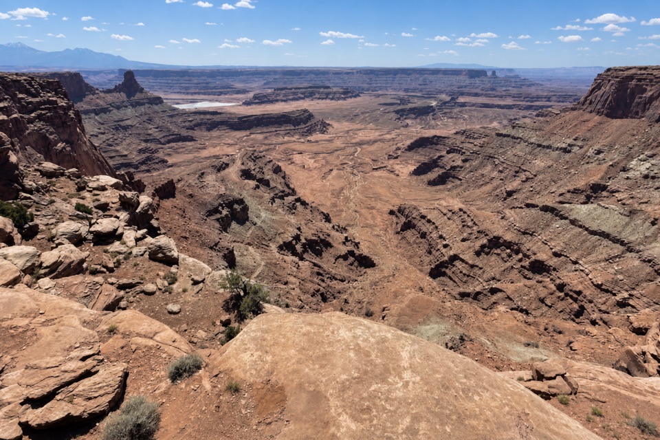
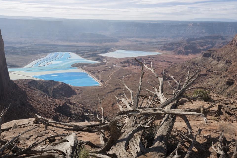
  • The rim reveals the Colorado River canyon and active potash ponds below.

Heads up

  • The full outing adds a long multi-trail approach to the 1.4-mile Cable Line segment.
  • Spotty reception and slickrock wayfinding add commitment to the remote east rim.

Map & elevation

The route

Loading the Dead Horse Point map
Full map
Elevation5,886–6,037 ft
TrailheadIntrepid Mountain Bike Parking Lot38.50638, -109.72546
Keep this map with you offline in the Parkwolf app

Plan your hike

Before you go

Parking

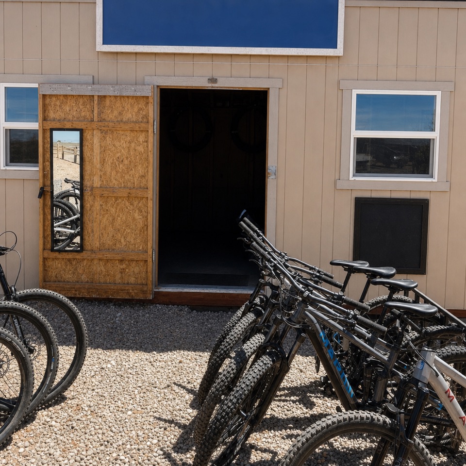
Start at Intrepid’s main mountain-bike parking lot, about 0.9 mile beyond the park entrance station, and follow its marked connector to Raven Roll. This is the start used for the stored 6.1-mile distance; the Visitor Center lot is a separate, longer approach. A day-use entrance fee is charged per vehicle.


Safety

The far east rim is remote, cell service is spotty and sections of slickrock are hard to follow. Hikers and bikes share the corridor; watch at junctions and blind bends. Stay back from the unprotected rim and leave cable, bolts, wood and other historic artifacts in place.

A park ranger sits on a dash-mounted phone, talking, as Parkwolf’s Tour Guide plays “Army Cutworm Moths: A Grizzly Bear Buffet” on Grand Loop Road below Dunraven Pass in Yellowstone
Parkwolf Tour GuideThe highest, rockiest slopes around here are a summer buffet for grizzly bears.

Dead Horse Point Tour Guide

Your drive to Cable Line Trail, narrated.

Parkwolf is a GPS audio tour guide for Dead Horse Point State Park. As you drive, it chimes in with what’s ahead: hidden gems, upcoming stops, history, geology, and wildlife, right through your car’s speakers.

Recorded for this area

Moenkopi Yurts
0:00 / 0:16
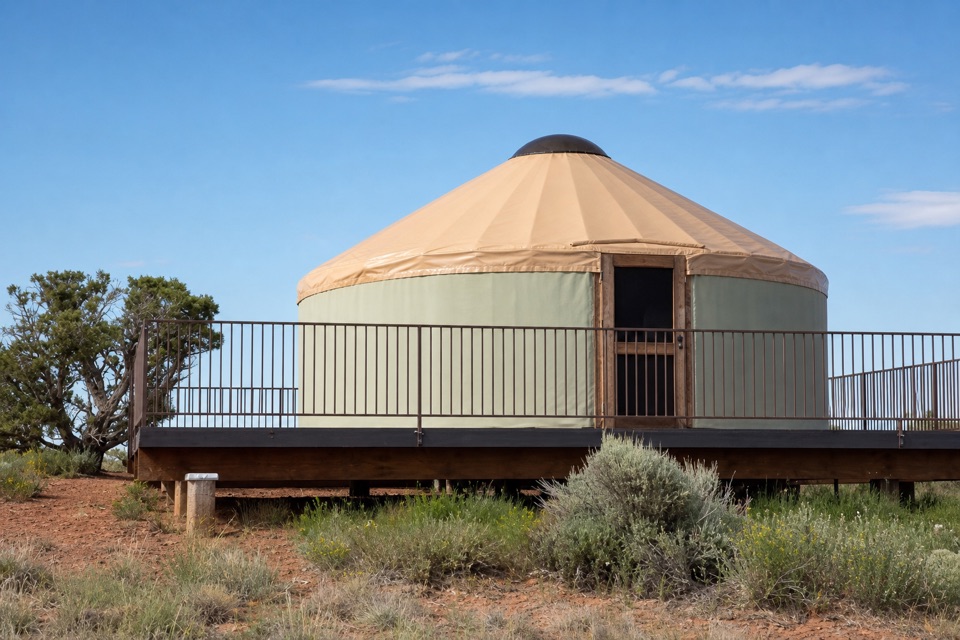
“Moenkopi Yurts are coming up, five overnight rentals with a private spur onto the Intrepid bike trails. Staying here gives you time for the park's dark sky, too.”

Plays on the road 0.1 mi from the trailhead in the Parkwolf Dead Horse Point Tour Guide.

More stories near here in the app

  • Intrepid Trailhead and Cable Line
  • Visitor Center Rim Trails
  • The Dark Skin on the Cliffs
  • Visitor Center and Desert View
  • 11 audio storiesacross Dead Horse Point’s roads, triggered by GPS as you drive
  • Wildlife heatmapsfor Raven, Whiptail Lizard, Fence Lizard, and 1 more
  • Works offlinemaps, 21 trails, 22 places, and audio download before you lose signal
  • CarPlay readysimple controls built for the drive
★★★★★
“Fantastic app with many points of information… It’s great to just turn on while you’re driving and it gives you an audio tour of the national Park. We love it!!!!”
JMJamesApp Store review
Download Parkwolf on the App StoreGet Parkwolf on Google Play

4.7 from 8,600+ ratings

Trail guide

Hiking Cable Line Trail

The full hikeFrom Intrepid’s main mountain-bike parking lot, this is a 6.

From Intrepid’s main mountain-bike parking lot, this is a 6.1-mile out-and-back to the historic cable support on the far east rim. The stored route follows a 3.04-mile trail corridor from the lot to the site, then returns the same way. The approach uses the parking connector, Raven Roll, Great Pyramid, Big Chief, Miner's Point and Upper Dark Horse before the Cable Line segment. The often-cited 1.4 miles describes Cable Line itself, not the full hike from the lot. Plan about three and a half hours for the complete walk; the destination comes after a long approach.

Follow the branchesFrom the lot, take its signed connector to Raven Roll, then follow the link to Great Pyramid.

From the lot, take its signed connector to Raven Roll, then follow the link to Great Pyramid. Continue to Big Chief and turn onto Miner's Point; Upper Dark Horse leads to the Cable Line fork. The first tenth-mile of Cable Line is easy doubletrack, then it narrows to dirt singletrack and begins descending. Around 0.3 mile from the fork, Lower Dark Horse branches right; stay left. At roughly 0.4 mile, Midpoint joins; keep uphill and left for the cable support. Lower Dark Horse and Midpoint are separate side routes, not part of this out-and-back. Retrace the same sequence to return to the lot.

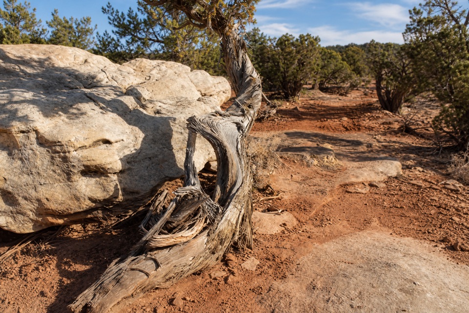
Tread and navigationExpect broad dirt track, narrower dirt singletrack and sections of Kayenta slickrock.

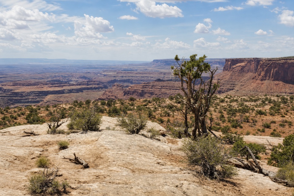
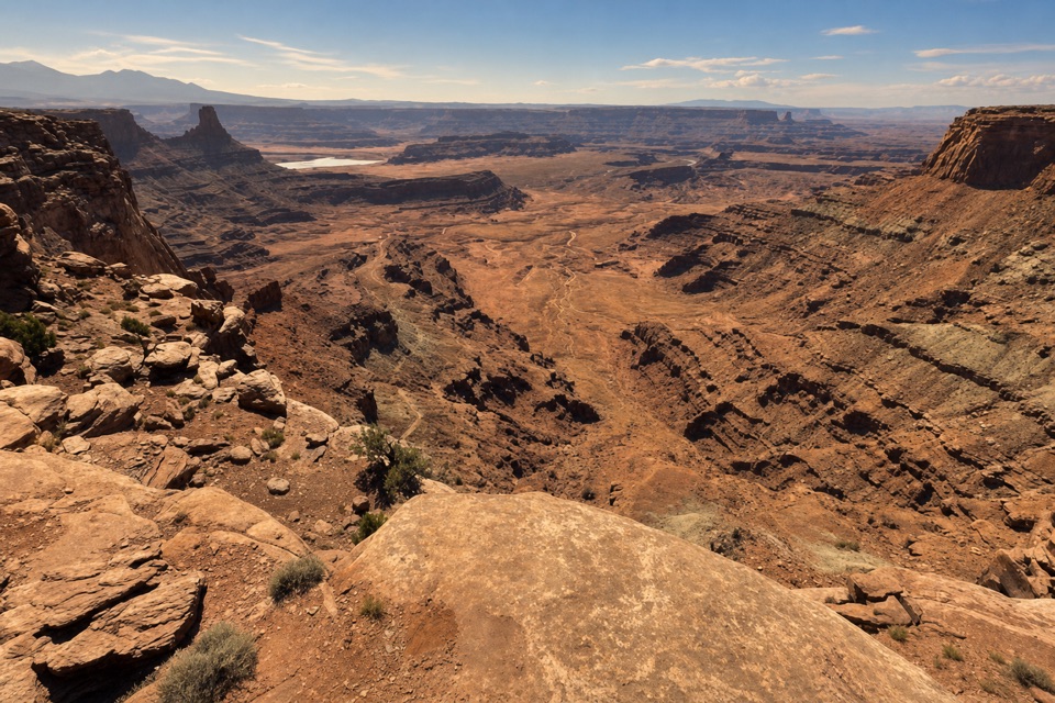
Expect broad dirt track, narrower dirt singletrack and sections of Kayenta slickrock. The dirt is usually easier to read; on slickrock, cairns and old branches help mark the line, but the continuation can blend into the stone. Slow down at junctions and keep an offline map available. The park describes the east rim as its most remote trail section, requires basic route-finding skills and warns of spotty cell service. Hikers and mountain bikers share the trail. The spur drops toward the cable site, so the return includes climbing back across the same rough ground.

At the cable supportThe terminal is a rusted tripod and pulley assembly above the river canyon.

The terminal is a rusted tripod and pulley assembly above the river canyon. In the early 1950s, an equipment cable helped oil workers move materials between the mesa and their river-side operation while they built a flow line. The line was completed in 1951; the well was out of service by 1953, and the surface pipe was later removed. The surviving tripod, cable, bolts and wood are protected cultural artifacts. Look, but leave them in place.

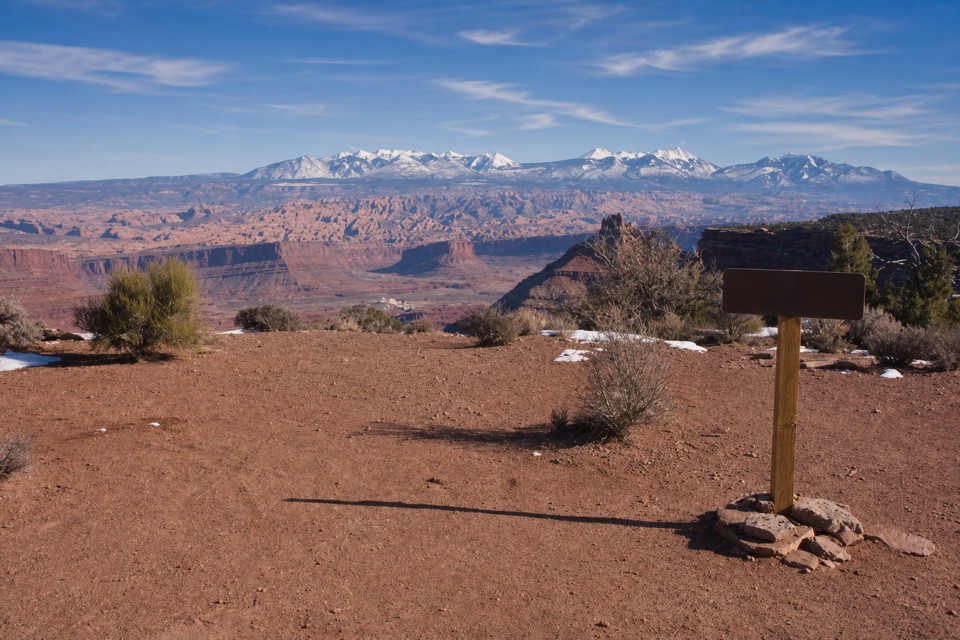
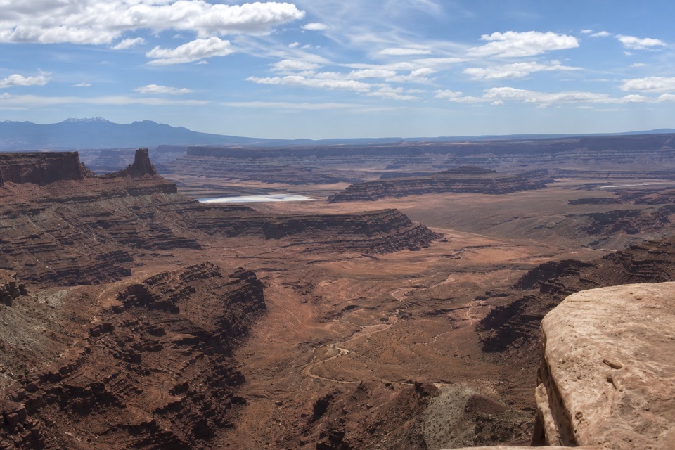
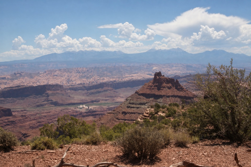
River and potash countryFrom the rim, the Colorado River and bright evaporation ponds sit far below, with the La Sal…

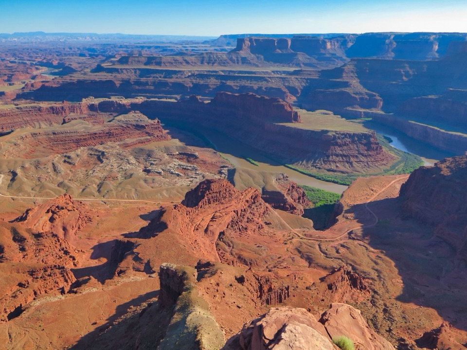
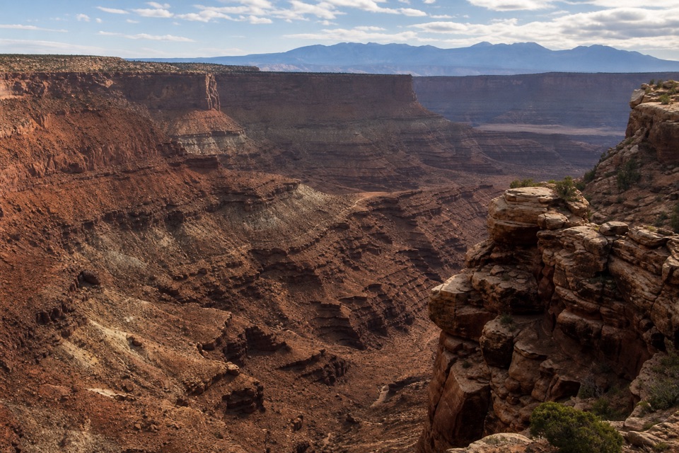
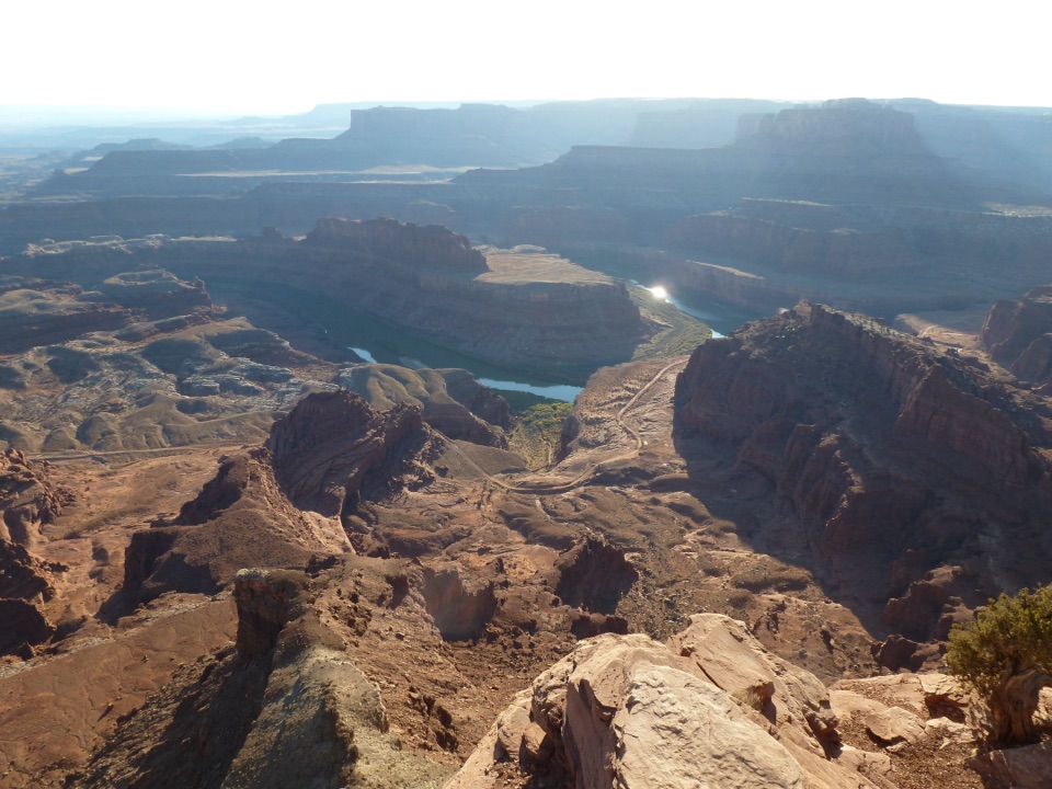
From the rim, the Colorado River and bright evaporation ponds sit far below, with the La Sal Mountains along the distant horizon. The blue basins are part of modern potash operations: river water dissolves potassium salts from deep Paradox Formation deposits, then evaporation concentrates the mineral for harvest. Those deposits formed in ancient marine and evaporite cycles, more than 300 million years ago. The view ties the old cable work to the mining landscape still visible across the canyon.

Access and dogsUse the main mountain-bike lot on the Intrepid trail system, about 0.

Use the main mountain-bike lot on the Intrepid trail system, about 0.9 mile beyond the entrance station, and begin on its marked connector. The Visitor Center lot is a different access point and creates a longer approach than the distance stored here. A day-use fee is charged per vehicle. Park guidance allows dogs on mountain-biking trails when leashed; keep a dog close on this shared route, especially near passing bikes and the exposed rim.
Wildlife

Wildlife in Dead Horse Point

All Dead Horse Point wildlife maps

Sighting maps show where each species has been reported across Dead Horse Point. Wildlife moves, so no sighting is guaranteed.

Keep exploring

Near Cable Line Trail

See it all on the map

Trails that start nearby

Places near the trailhead

Parkwolf’s Dead Horse Point ranking

Top-rated trails in Dead Horse Point

All 21 trails
  1. 1Overlook TrailEasy · 0.1 mi
  2. 2East and West Rim LoopModerate · 4.4 mi
  3. 3Bighorn Overlook TrailModerate · 3 mi
  4. 4West Rim TrailModerate · 2.9 mi
  5. 5East Rim Trail to Dead Horse PointEasy · 1.7 mi
  6. 7Desert View Overlook TrailEasy · 1 mi

Take Parkwolf to Dead Horse Point.

The audio tour guide for the drive, plus offline maps, trails, and wildlife heatmaps for when the signal drops.

4.7 from 8,600+ ratings

Download Parkwolf on the App StoreGet Parkwolf on Google Play