Overview
About Meander Overlook
Why stop
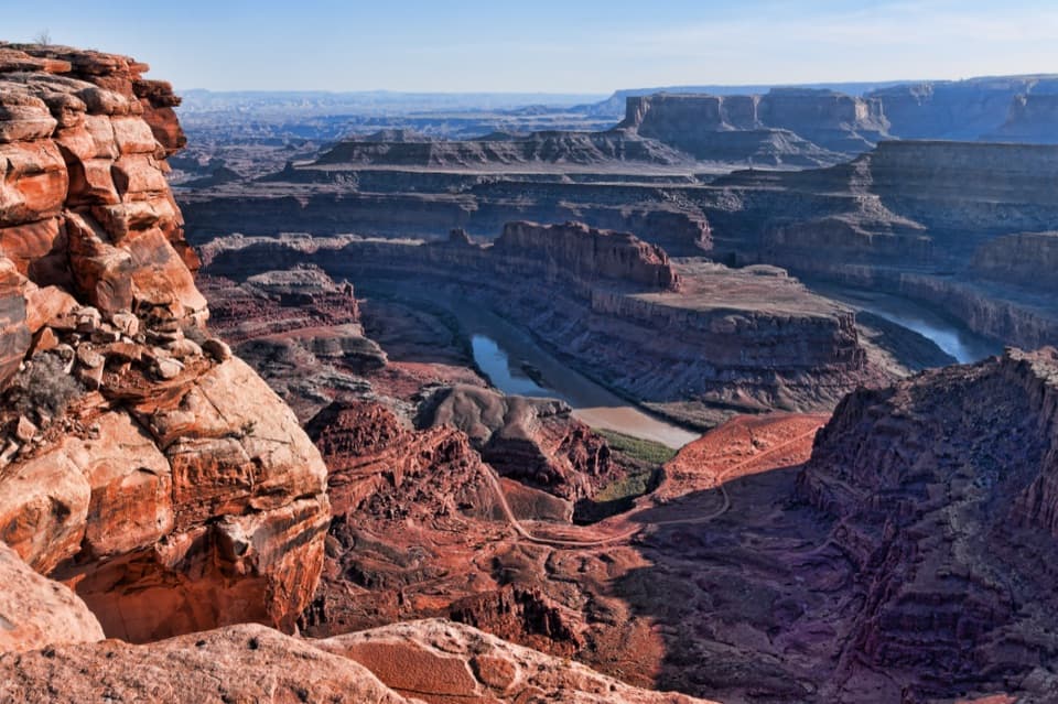
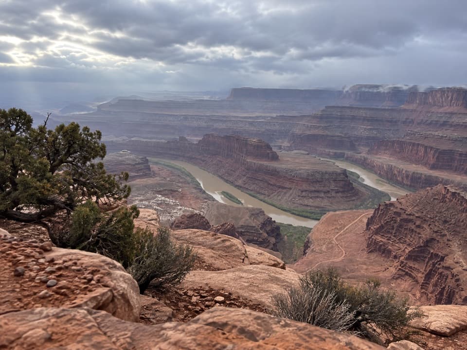
- A broad Colorado River bend makes this spur stand out.
Heads up
- Reached on the moderate, exposed West Rim Trail, not by car.
Map
Where it is

The highest, rockiest slopes around here are a summer buffet for grizzly bears.
Dead Horse Point Tour Guide
Your drive to Meander Overlook, narrated.
Parkwolf is a GPS audio tour guide for Dead Horse Point State Park. As you drive, it chimes in with what’s ahead: hidden gems, upcoming stops, history, geology, and wildlife, right through your car’s speakers.
Recorded for this place
Visitor Center Rim Trails“You're nearing the visitor center's rim-trail access, where the East and West Rim trails make a half-day loop to Dead Horse Point.”
Plays as you drive up to Meander Overlook in the Parkwolf Dead Horse Point Tour Guide.
More stories near here in the app
- Dead Horse Point Overlook
- Wingate Campground and Yurts
- Kayenta Campground
- Visitor Center and Desert View
- 11 audio storiesacross Dead Horse Point’s roads, triggered by GPS as you drive
- Wildlife heatmapsfor Raven, Whiptail Lizard, Fence Lizard, and 1 more
- Works offlinemaps, 21 trails, 22 places, and audio download before you lose signal
- CarPlay readysimple controls built for the drive
“Fantastic app with many points of information… It’s great to just turn on while you’re driving and it gives you an audio tour of the national Park. We love it!!!!”


Guide
More about Meander Overlook
Step out for the river bendMeander Overlook is a short viewpoint spur on the West Rim Trail, looking down at a broad bend…
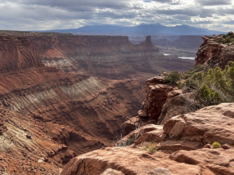
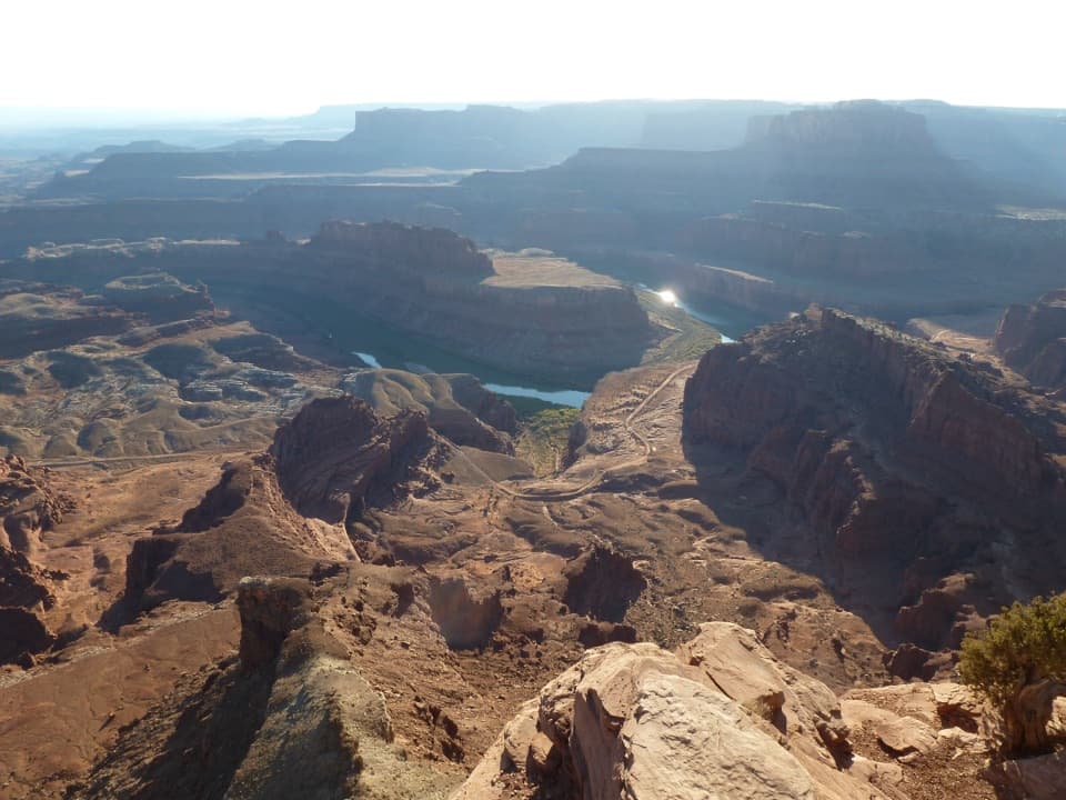
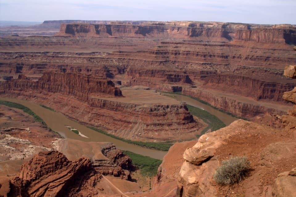
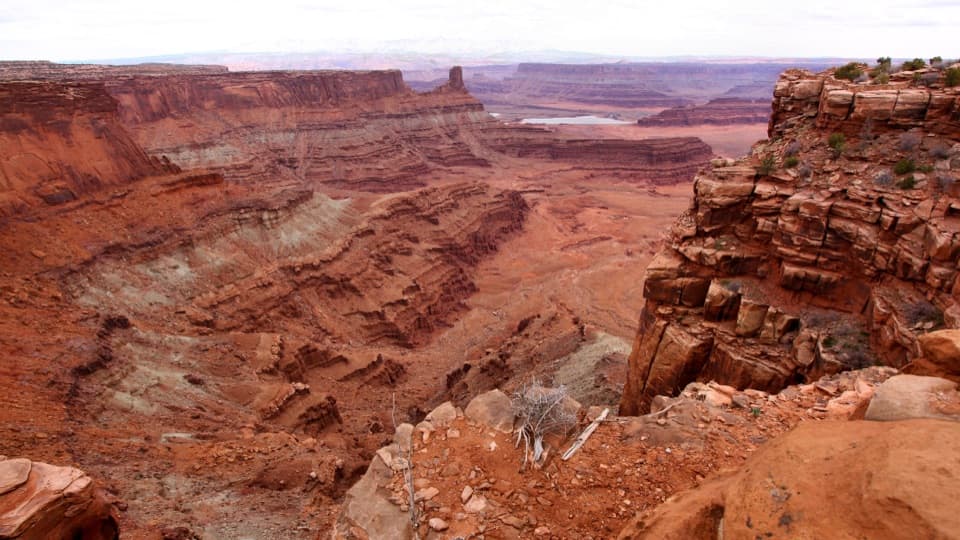
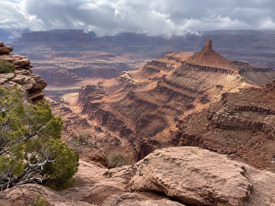
Meander Overlook is a short viewpoint spur on the West Rim Trail, looking down at a broad bend in the Colorado River. It’s a good small detour if you’re already walking this side of the park: the spur is only a few steps, and the river’s curve is the reason to stop. From Shafer Canyon Overlook, it’s another 0.1 mile along the trail.
Getting to the overlookStart behind the visitor center and follow the West Rim Trail across the park road and past the…
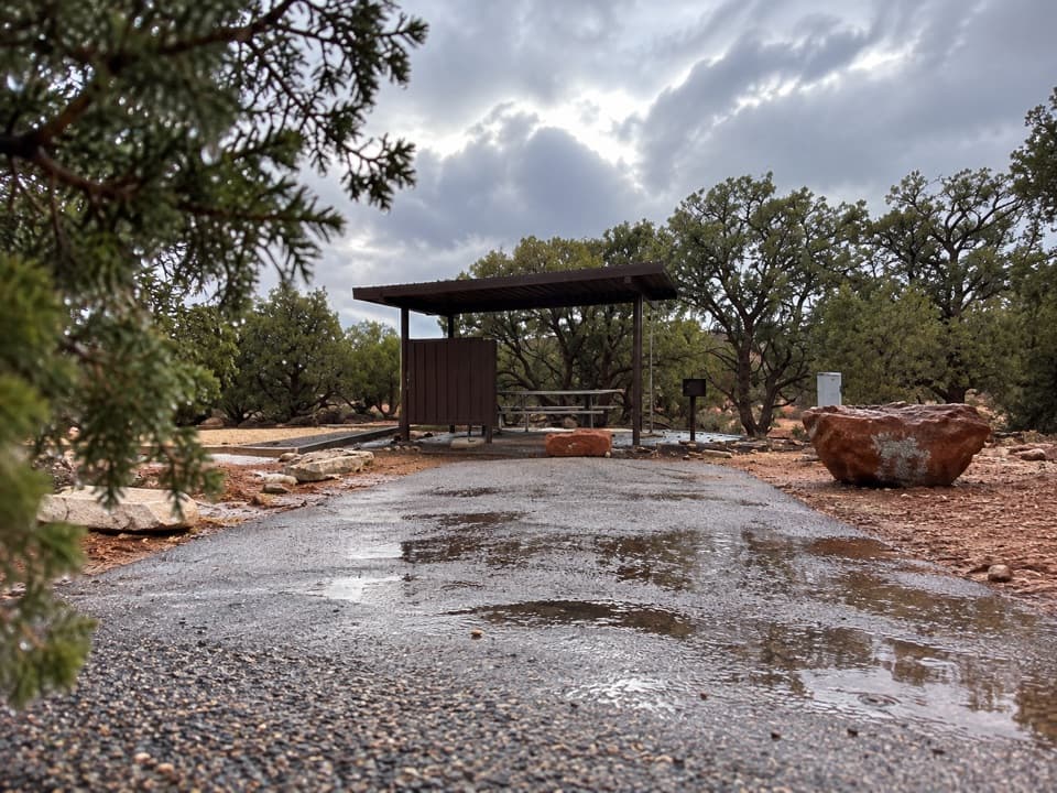
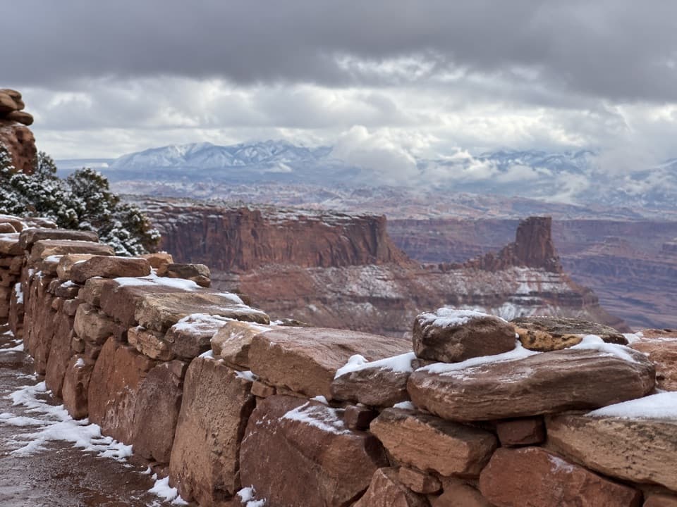
Start behind the visitor center and follow the West Rim Trail across the park road and past the campground. The route is rated moderate, more primitive and usually less traveled than the East Rim; cairns mark exposed sections over sandstone and slickrock. Follow the stone markers across bare rock, and keep dogs leashed on the trail.
A river that carved the viewThe Colorado River cut about 2,000 feet through the canyon layers here, exposing roughly 300…
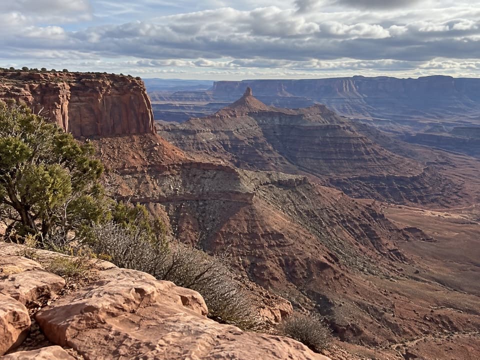
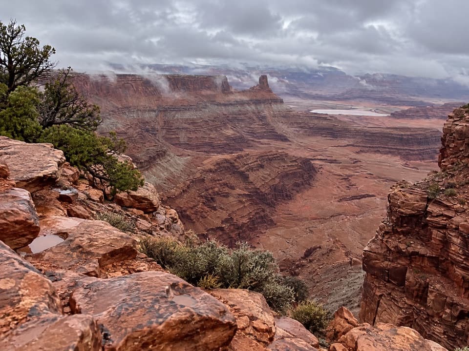
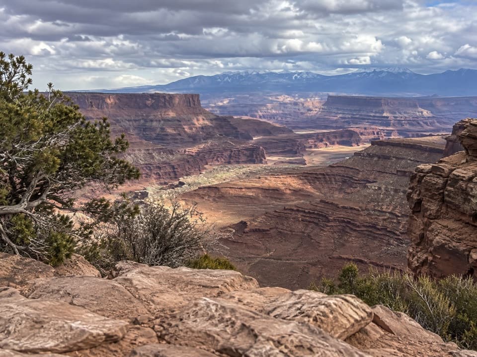
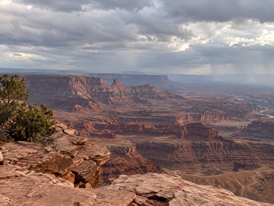
The Colorado River cut about 2,000 feet through the canyon layers here, exposing roughly 300 million years of geologic history. The sequence runs from Entrada Sandstone at the cliff tops to Honaker Trail Formation near river level. From the rim, frame the broad bend so the river’s turn reads against the canyon walls.
Wildlife
Wildlife in Dead Horse Point
 33 sightingsRavenMost seen around 6 PMSighting map
 16 sightingsWhiptail LizardMost seen around 10 AMSighting map
 34 sightingsFence LizardMost seen around 8 AMSighting map
 42 sightingsSide-blotched LizardMost seen around 9 AMSighting map
Sighting maps show where each species has been reported across Dead Horse Point. Wildlife moves, so no sighting is guaranteed.