Parking
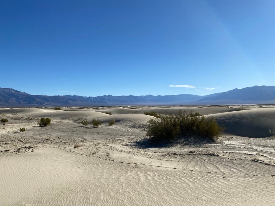
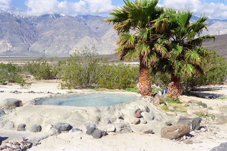
Start at the unmarked junction of Big Silver Mine Road and Saline Valley Road. No developed lot is documented; reaching it requires a remote dirt-road drive.
Death Valley National Park, CA · NV
A short desert road walk toward a remote silver-mine site.
Overview
Map & elevation
Plan your hike

The highest, rockiest slopes around here are a summer buffet for grizzly bears.
Death Valley Tour Guide
Parkwolf is a GPS audio tour guide for Death Valley National Park. As you drive, it chimes in with what’s ahead: hidden gems, upcoming stops, history, geology, and wildlife, right through your car’s speakers.
See the Death Valley audio tour“Fantastic app with many points of information… It’s great to just turn on while you’re driving and it gives you an audio tour of the national Park. We love it!!!!”


Trail guide
Big Silver Mine Trail is a 3-mile out-and-back from Saline Valley Road toward the mine access, about 1.5 miles each way. It follows a rough dirt vehicle track and gains about 430 feet toward the foot of the Inyo Mountains. Allow roughly 1½ to 2 hours for the round trip before spending time at the site. This suits visitors already making the remote drive who want a short mining-history stop; it is not a maintained hiking path.
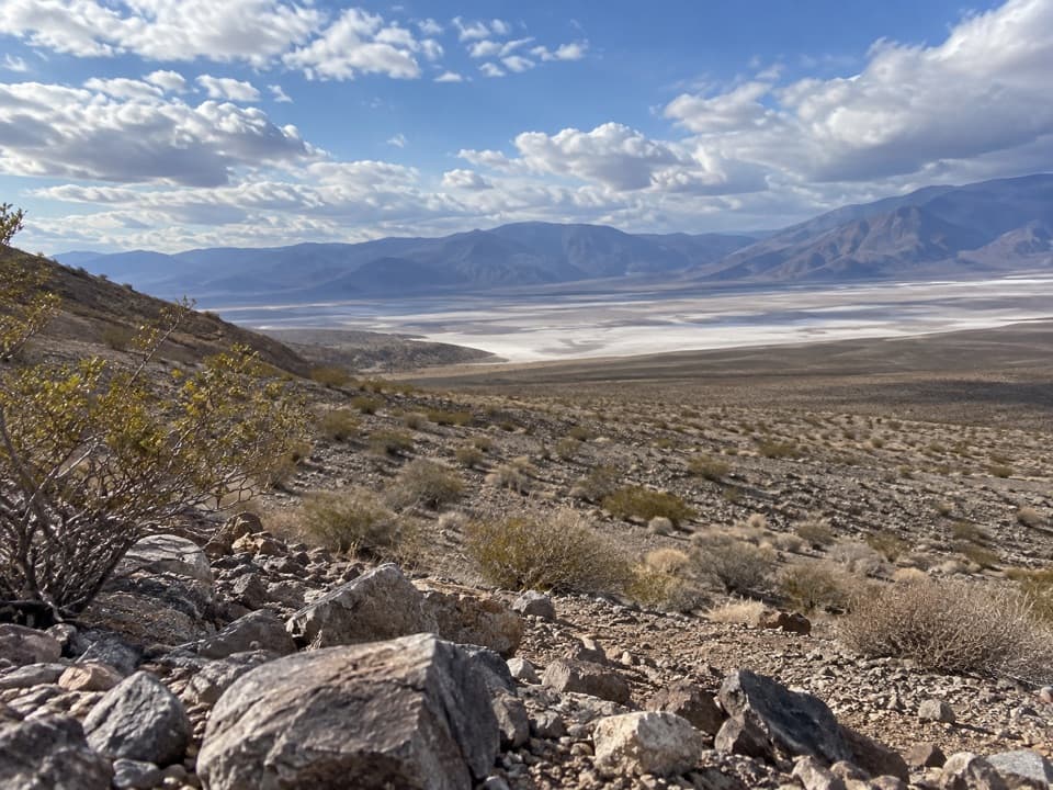
The mapped route leaves Saline Valley Road and crosses open desert fan toward the mountains. Stay on the dirt road for the mapped leg; the line ends near the mine access. The payoff is the mining site and a broad view over the pale Salt Lake basin and surrounding ranges. A hiker’s account describes informal miner and burro paths continuing toward the Morning Sun prospects, with tunnels and tramways. That extension is not in the mapped route, and the access or public status of every branch is not established.
There is no developed trailhead or documented services at the junction. This is a remote backcountry drive, and confirm access and vehicle suitability before setting out; minor dirt-road conditions can change. The mapped route crosses Death Valley Wilderness, where pets are prohibited, and pets are not allowed on park trails. Mine openings and historic structures are dangerous; stay outside all workings.
Wildlife
 72 sightingsBighorn SheepMost seen around 6 PMSighting map
 101 sightingsDesert TortoiseMost seen around 8 AMSighting map
 466 sightingsCoyoteMost seen around 6 PMSighting map
 29 sightingsFeral BurroMost seen around 5 PMSighting map
 30 sightingsMule DeerMost seen around 7 PMSighting map
 65 sightingsKit FoxMost seen around 7 PMSighting map
Sighting maps show where each species has been reported across Death Valley. Wildlife moves, so no sighting is guaranteed.
Keep exploring
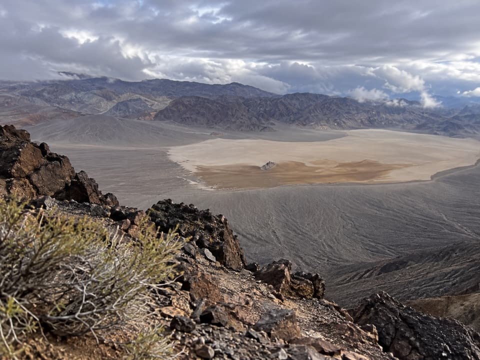 ChallengingLittle Ubehebe Peak Trail3.7 mi · 4.5 hr · 13.6 mi awayA steep, exposed scramble above Racetrack Playa and Saline Valley.
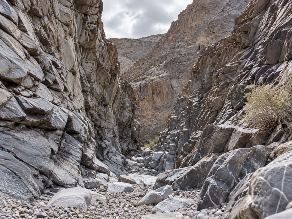 ChallengingCorridor Canyon Route7.3 mi · 6.5 hr · 13.6 mi awayFossils, a serious downclimb, and a long, straight limestone hall.
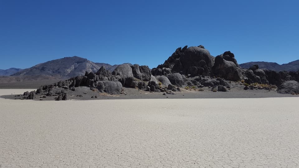 EasyThe Grandstand Trail0.6 mi · 30 min · 13.6 mi awayA short, flat walk to a dark rock island on the playa.
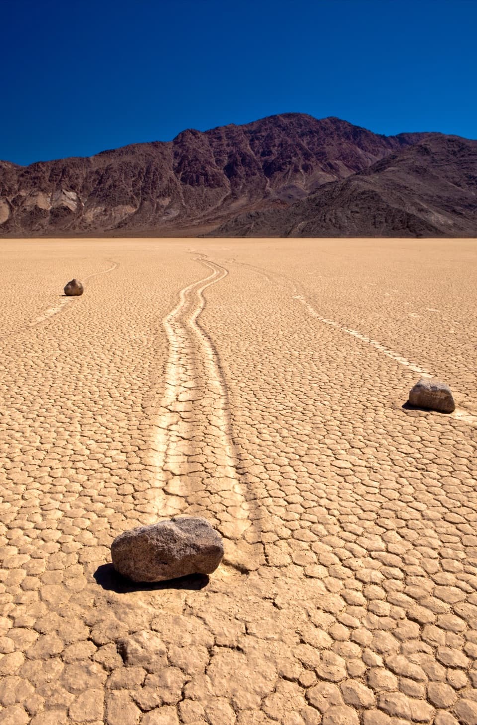 EasyRacetrack Playa1.4 mi · 1 hr · 13.8 mi awayCross an open lakebed to the tracks left by sailing stones.
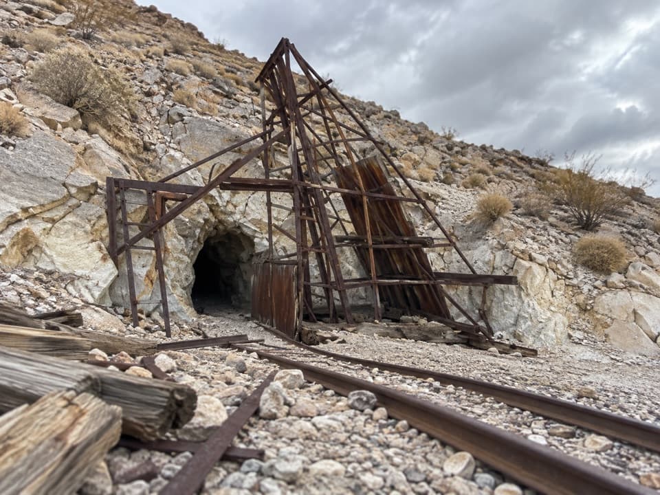 EasyLippincott Mine Trail1.8 mi · 1.8 hr · 13.8 mi awayRusted mine gear and a wide valley view on a short hike.
Parkwolf’s Death Valley ranking

The audio tour guide for the drive, plus offline maps, trails, and wildlife heatmaps for when the signal drops.