Parking
Park at the Ubehebe Lead Mine area, at the end of the mine spur off Racetrack Road near Teakettle Junction. The Racetrack approach is rough and remote; high clearance, four-wheel drive, and heavy-duty tires are usually required.
Death Valley National Park, CA · NV
Fossils, a serious downclimb, and a long, straight limestone hall.
Overview
Map & elevation
Plan your hike

The highest, rockiest slopes around here are a summer buffet for grizzly bears.
Death Valley Tour Guide
Parkwolf is a GPS audio tour guide for Death Valley National Park. As you drive, it chimes in with what’s ahead: hidden gems, upcoming stops, history, geology, and wildlife, right through your car’s speakers.
See the Death Valley audio tour“Fantastic app with many points of information… It’s great to just turn on while you’re driving and it gives you an audio tour of the national Park. We love it!!!!”


Trail guide
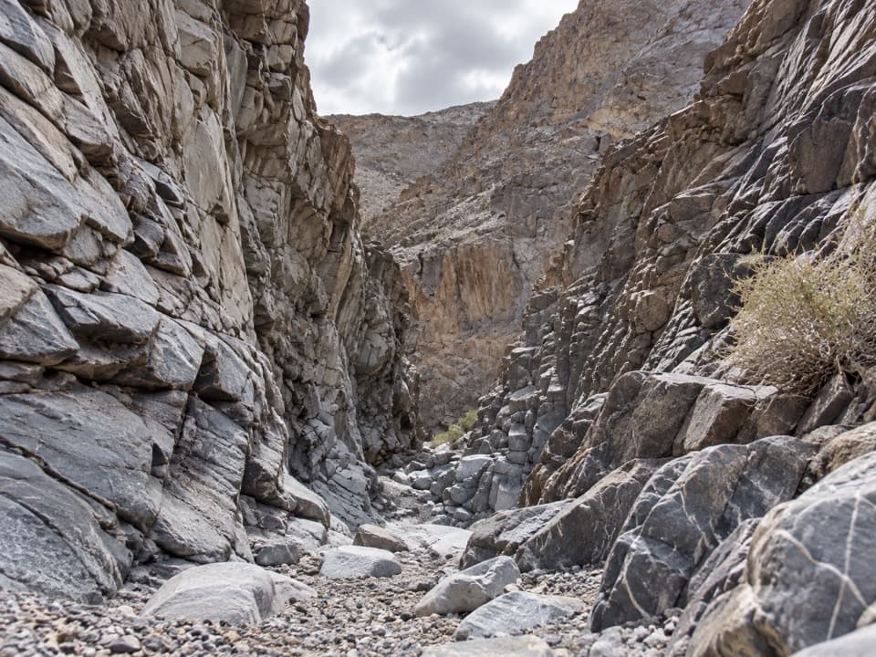
Corridor Canyon Route is a 7.26-mile out-and-back from Ubehebe Lead Mine parking to the south bend in The Corridor and back. It drops through gravel washes, limestone narrows, and fossil-bearing boulders before the nearly straight canyon reaches a sharp turn. Allow six to seven hours. This is a hard, remote hike with a Class 3 downclimb; go only if you are comfortable finding your way through washes and scrambling. The turn is 3.63 miles from the start. If the drop is beyond your comfort, turning back there still makes about a 5.7-mile round trip, without reaching the corridor.
The route begins among the old Ubehebe Lead Mine workings, then follows firm gravel through a dry canyon. At about 0.9 mile, a side wash joins the route; remember how the junction looks from below because the way back is easy to miss. Cairns may help, but they are not dependable. The first narrow limestone channel comes at about 1.47 miles, then the canyon opens into a broad wash. Look for crinoid fossils in the dark boulders carried down from the slopes.
At about 2.8 miles, a smooth pour-over drops to a short, steep face. The route's Class 3 section is the serious part of the hike: its description recommends a 40-foot rope and a partner for a body belay, with no fixed anchor nearby. Do not continue unless you are confident with the move and have the right partner and gear.
A slot opens into The Corridor at about 2.93 miles. The mapped route turns south and follows the straight limestone walls for about 0.7 mile to a nearly 180-degree bend. The long, narrow hall is the payoff; look back along its walls and include some of the boulder floor in a photo to show its scale. The rock bands record layers of ancient marine deposits, and harder limestone holds its shape while softer layers erode into the canyon's bends and narrows. A separate short branch north ends at another pour-over; it is not included in this mapped route.
The trailhead is far from the park's main services: the drive from Furnace Creek is at least three and a half hours each way. The approach to Racetrack Valley is rough and remote; a high-clearance four-wheel-drive vehicle with heavy-duty tires is usually needed, and there is no cell coverage in the area. Pets are not allowed on trails or in the wilderness. Stay out of mine openings and do not disturb the ground around the old workings.
Wildlife
 72 sightingsBighorn SheepMost seen around 6 PMSighting map
 101 sightingsDesert TortoiseMost seen around 8 AMSighting map
 466 sightingsCoyoteMost seen around 6 PMSighting map
 29 sightingsFeral BurroMost seen around 5 PMSighting map
 30 sightingsMule DeerMost seen around 7 PMSighting map
 65 sightingsKit FoxMost seen around 7 PMSighting map
Sighting maps show where each species has been reported across Death Valley. Wildlife moves, so no sighting is guaranteed.
Keep exploring
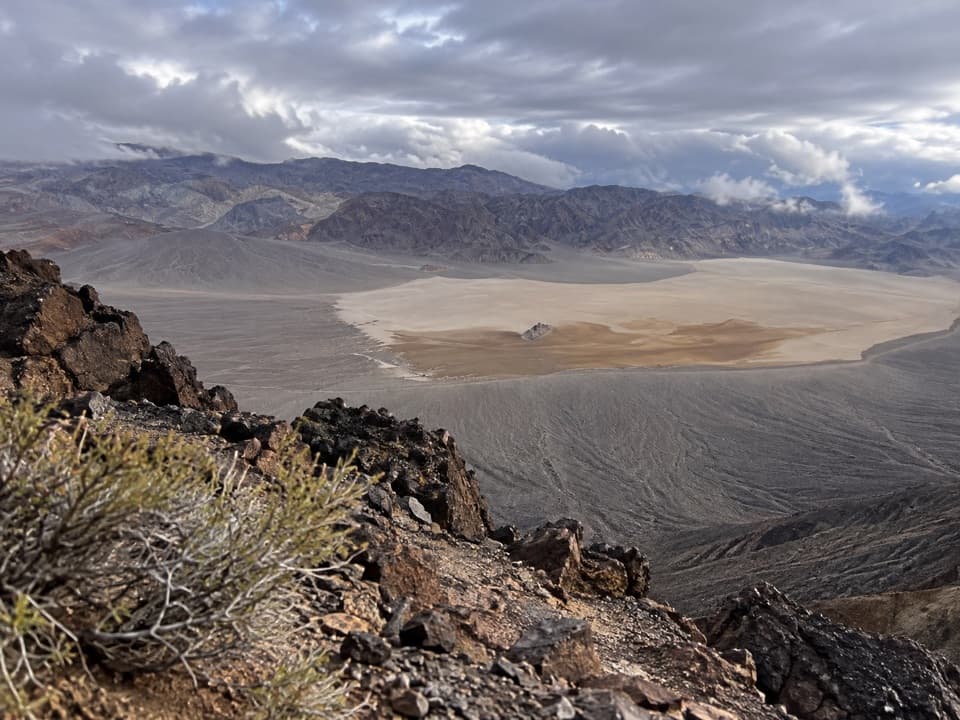 ChallengingLittle Ubehebe Peak Trail3.7 mi · 4.5 hr · 3.8 mi awayA steep, exposed scramble above Racetrack Playa and Saline Valley.
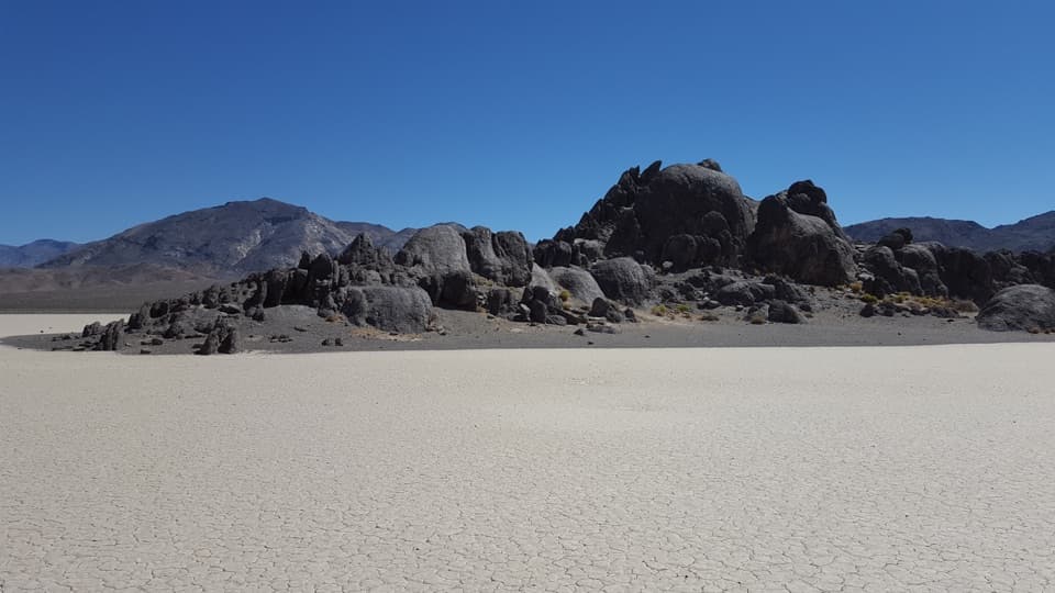 EasyThe Grandstand Trail0.6 mi · 30 min · 3.8 mi awayA short, flat walk to a dark rock island on the playa.
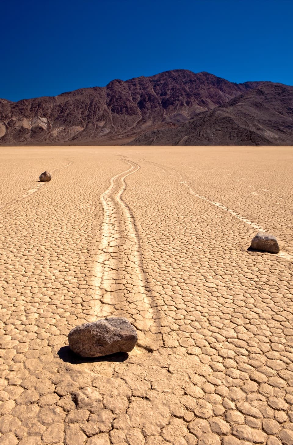 EasyRacetrack Playa1.4 mi · 1 hr · 5.8 mi awayCross an open lakebed to the tracks left by sailing stones.
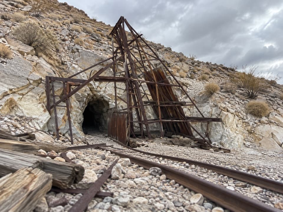 EasyLippincott Mine Trail1.8 mi · 1.8 hr · 7.8 mi awayRusted mine gear and a wide valley view on a short hike.
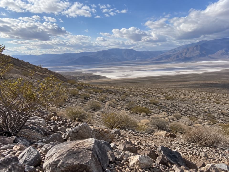 EasyBig Silver Mine Trail3 mi · 1.8 hr · 13.6 mi awayA short desert road walk toward a remote silver-mine site.
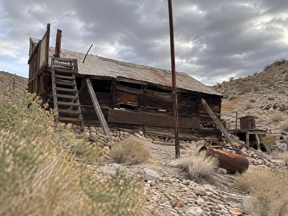 Sight · 3.9 mi awayLost Burro MineA remote gold mine with a timber mill perched above its cabin.
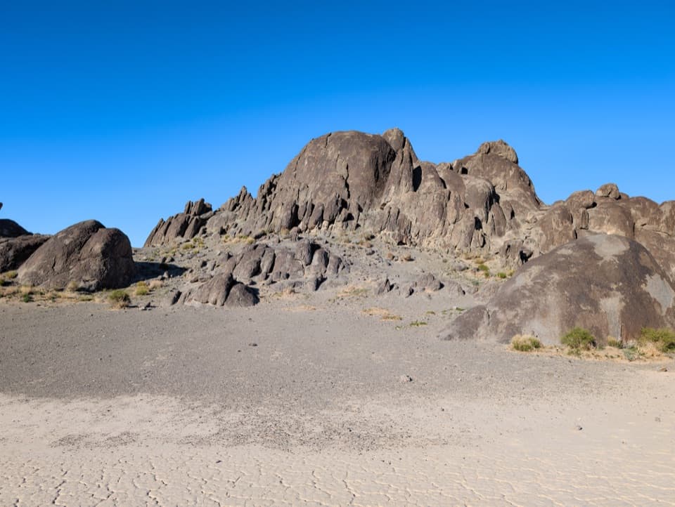 Sight · 4 mi awayThe GrandstandA dark rock island rising from Racetrack Playa’s pale lakebed.
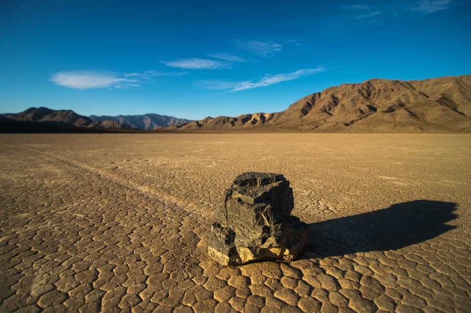 Sight · 4.9 mi awayRacetrack PlayaFollow a stone’s long track across a vast dry lakebed
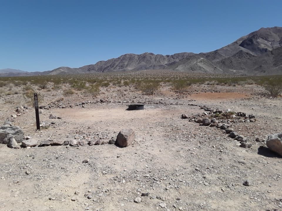 Campground · 7.7 mi awayHomestake CampgroundStay near Racetrack Playa and settle under dark desert skies.
Parkwolf’s Death Valley ranking

The audio tour guide for the drive, plus offline maps, trails, and wildlife heatmaps for when the signal drops.




