The Grandstand Trail in Death Valley National Park

Death Valley National Park, CA · NV

The Grandstand Trail

A short, flat walk to a dark rock island on the playa.

Photo: National Park Service / Death Valley National Park; public domain

Length
0.6mi
Time
30min
Elevation
Flat
Difficulty
Easy
  • No dogs
  • High point 3,714 ft

Hear the audio tour

Racetrack Playa: Before the Backcountry Drive

Overview

About The Grandstand Trail

Why go

  • A short, level walk to a striking island of dark rock
  • The parking area stays visible across the playa in daylight

Heads up

  • No marked tread across the exposed lakebed
  • The rough, remote drive is far longer than the walk

Map & elevation

The route

Loading the Death Valley map
Full map
Elevation3,707–3,714 ft
TrailheadRacetrack Grandstand parking area36.69431, -117.57142
Keep this map with you offline in the Parkwolf app

Plan your hike

Before you go

Parking

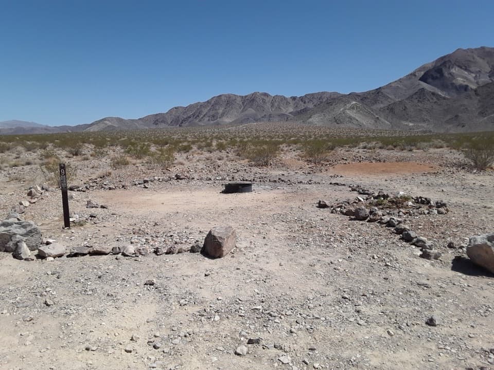
Use the Racetrack Grandstand parking area on the west side of Racetrack Road at the north end of Racetrack Playa. The approach is long, rough and remote; the National Park Service recommends four-wheel drive, high clearance and good tires, and advises against standard rental vehicles.

Safety

Stay off wet or muddy playa; footprints can scar the surface for years. The Grandstand’s highest face is exposed fifth-class climbing without protection. The approach is rough and remote, with no cell service. Pets are not allowed on this off-road walk.

4 active Death Valley alerts

  • ClosureRoad closures and hazardous conditionsSeveral park roads are closed or hazardous; follow closures and vehicle restrictions.Official details
  • ClosureSaline Valley Lower Springs closed after wildfireLower Springs pools at Saline Valley Warm Springs remain closed because the September 15 wildfire left safety hazards, including potential hazardous chemicals; do not enter the closed area.Official details
See all 4 alerts
A park ranger sits on a dash-mounted phone, talking, as Parkwolf’s Tour Guide plays “Army Cutworm Moths: A Grizzly Bear Buffet” on Grand Loop Road below Dunraven Pass in Yellowstone
Parkwolf Tour GuideThe highest, rockiest slopes around here are a summer buffet for grizzly bears.

Death Valley Tour Guide

Your drive to The Grandstand Trail, narrated.

Parkwolf is a GPS audio tour guide for Death Valley National Park. As you drive, it chimes in with what’s ahead: hidden gems, upcoming stops, history, geology, and wildlife, right through your car’s speakers.

See the Death Valley audio tour

Recorded for this trailhead

Racetrack Playa: Before the Backcountry Drive
0:00 / 0:36
“You're approaching the access road for Racetrack Playa, famous for rocks that leave long tracks across the mud. The playa is still about twenty-six rough road miles away.”

Plays as you drive up to this trailhead in the Parkwolf Death Valley Tour Guide.

  • 228 audio storiesacross Death Valley’s roads, triggered by GPS as you drive
  • Wildlife heatmapsfor Bighorn Sheep, Desert Tortoise, Coyote, and 13 more
  • Works offlinemaps, 57 trails, 81 places, and audio download before you lose signal
  • CarPlay readysimple controls built for the drive
★★★★★
“Fantastic app with many points of information… It’s great to just turn on while you’re driving and it gives you an audio tour of the national Park. We love it!!!!”
JMJamesApp Store review
Download Parkwolf on the App StoreGet Parkwolf on Google Play

4.7 from 8,600+ ratings

Trail guide

Hiking The Grandstand Trail

Walk to the GrandstandThe Grandstand walk is a flat, unmarked out-and-back across the north end of Racetrack Playa to…

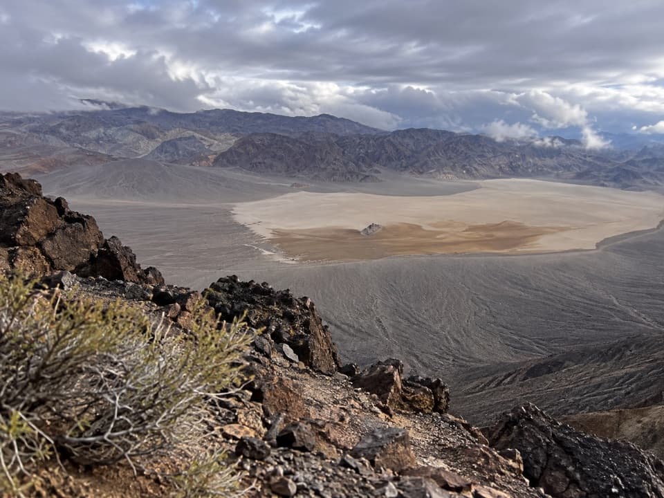
The Grandstand walk is a flat, unmarked out-and-back across the north end of Racetrack Playa to its dark rock island. The parking and destination waypoints sit about 0.3 mile apart, so count roughly 0.6 mile round trip and allow about 30 minutes to look around. A published quarter-mile figure does not say whether it counts one way or both, so treat the distance as an estimate. There is no tread to follow: head east toward the landmark, keep the parking area in sight, and turn back when you have had a look. The route ends at the formation and does not include climbing it.

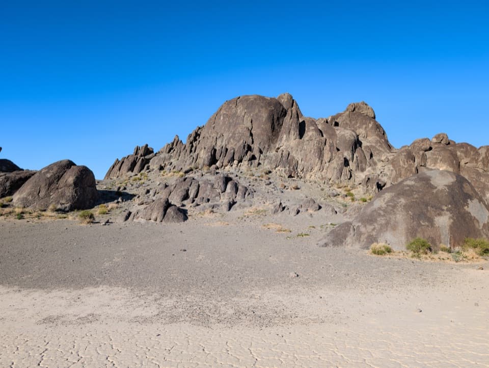
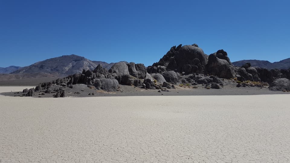
A small walk in a huge landscapeThe Grandstand is an island outcrop of quartz monzonite rising from the pale playa.

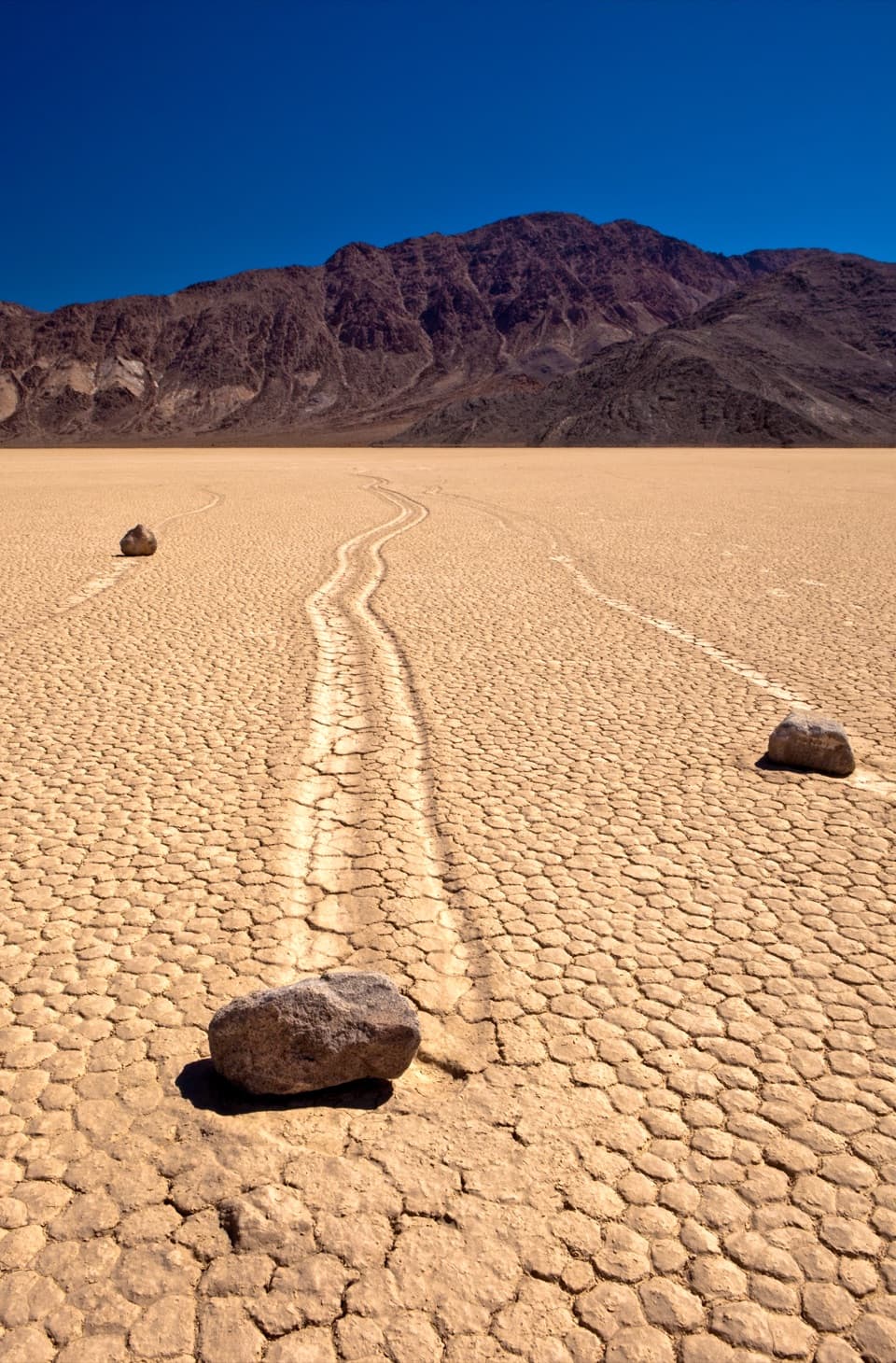
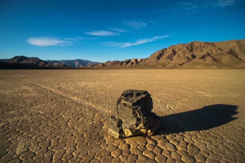
The Grandstand is an island outcrop of quartz monzonite rising from the pale playa. The stark contrast and open view are the payoff; this is a simple landmark walk, not a longer hike. The famous moving stones are a separate stop about two road miles south, followed by at least a half-mile walk to the tracks.

Keep the playa intactStay off wet or muddy ground. A footprint can scar this fragile surface for years.

Stay off wet or muddy ground. A footprint can scar this fragile surface for years. The highest face of the Grandstand is exposed fifth-class climbing with no protection; keep to the walk and the base of the rocks. There is no shade across the playa and no cell service in the Racetrack area. Pets are limited to developed roads and parking areas, so leave them out of this walk.

Wildlife

Wildlife in Death Valley

All Death Valley wildlife maps

Sighting maps show where each species has been reported across Death Valley. Wildlife moves, so no sighting is guaranteed.

Parkwolf’s Death Valley ranking

Top-rated trails in Death Valley

All 57 trails
  1. 1Badwater Salt FlatEasy · 1.9 mi
  2. 2Mosaic CanyonModerate · 4 mi
  3. 3Golden Canyon to Red CathedralModerate · 3 mi
  4. 4Telescope Peak TrailChallenging · 12.2 mi
  5. 5Golden Canyon Complete CircuitChallenging · 7.8 mi
  6. 6Gower Gulch LoopModerate · 4.3 mi

Take Parkwolf to Death Valley.

The audio tour guide for the drive, plus offline maps, trails, and wildlife heatmaps for when the signal drops.

4.7 from 8,600+ ratings

Download Parkwolf on the App StoreGet Parkwolf on Google Play