Little Ubehebe Peak Trail in Death Valley National Park

Death Valley National Park, CA · NV

Little Ubehebe Peak Trail

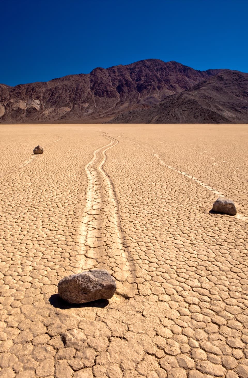
A steep, exposed scramble above Racetrack Playa and Saline Valley.

Length
3.7mi
Time
4.5hr
Elev. change
1,807ft
Difficulty
Challenging
  • No dogs
  • High point 5,519 ft
Parkwolf audio tour228 stories across Death Valley’s roads

Overview

About Little Ubehebe Peak Trail

Why go

  • Views across Racetrack Playa and Saline Valley from one summit.

Heads up

  • Exposed scrambling on a route that is easy to lose.
  • The remote approach needs a suitable vehicle.

Map & elevation

The route

Loading the Death Valley map
Full map
Elevation3,712–5,519 ft
TrailheadGrandstand parking area, Racetrack Road36.69435, -117.57167
Keep this map with you offline in the Parkwolf app

Plan your hike

Before you go

Parking

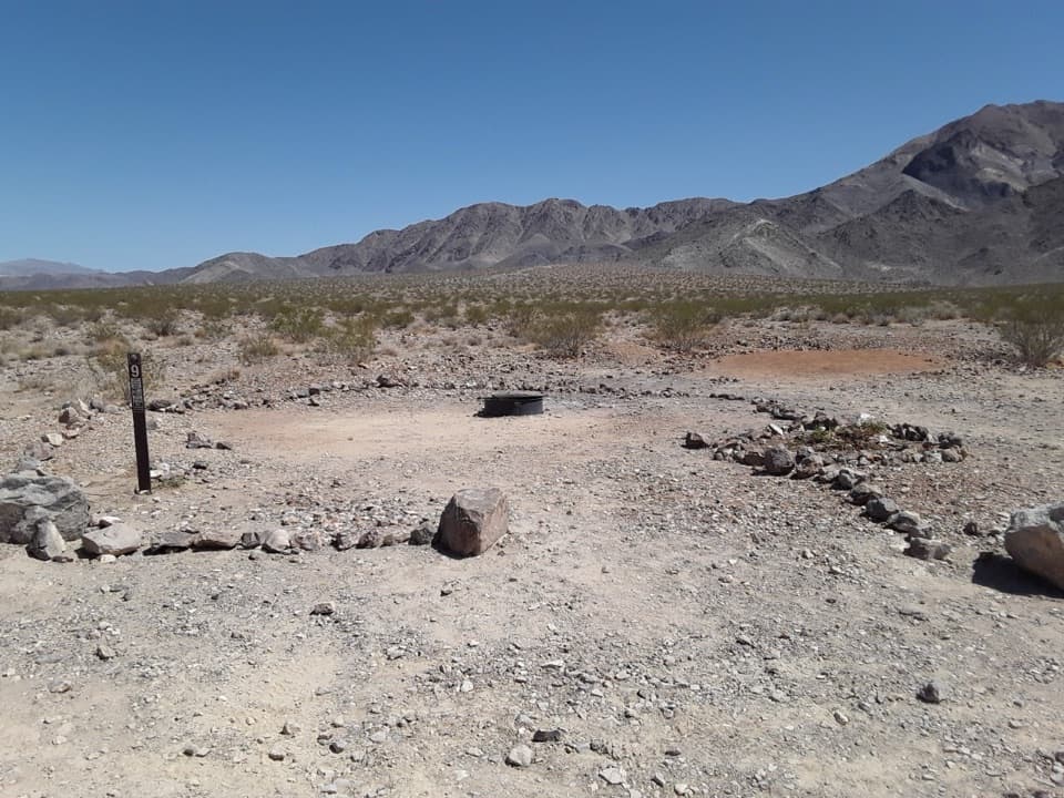
Start at the wide Grandstand parking area on the west side of Racetrack Road at the north end of Racetrack Playa. The access road is rough and remote; high-clearance four-wheel drive with heavy-duty tires is usually needed, and standard rental cars are not recommended.

Safety

The narrow, rocky climb is steep and exposed. Above the saddle, the route crosses cliff bands with class 2 and a couple of minimal class 3 moves, and the tread fades around slabs; a fall could be fatal. There is no cell coverage in the area. Pets are prohibited on trails and in designated wilderness.

4 active Death Valley alerts

  • ClosureRoad closures and hazardous conditionsSeveral park roads are closed or hazardous; follow closures and vehicle restrictions.Official details
  • ClosureSaline Valley Lower Springs closed after wildfireLower Springs pools at Saline Valley Warm Springs remain closed because the September 15 wildfire left safety hazards, including potential hazardous chemicals; do not enter the closed area.Official details
See all 4 alerts
A park ranger sits on a dash-mounted phone, talking, as Parkwolf’s Tour Guide plays “Army Cutworm Moths: A Grizzly Bear Buffet” on Grand Loop Road below Dunraven Pass in Yellowstone
Parkwolf Tour GuideThe highest, rockiest slopes around here are a summer buffet for grizzly bears.

Death Valley Tour Guide

Your drive to Little Ubehebe Peak Trail, narrated.

Parkwolf is a GPS audio tour guide for Death Valley National Park. As you drive, it chimes in with what’s ahead: hidden gems, upcoming stops, history, geology, and wildlife, right through your car’s speakers.

See the Death Valley audio tour
  • 228 audio storiesacross Death Valley’s roads, triggered by GPS as you drive
  • Wildlife heatmapsfor Bighorn Sheep, Desert Tortoise, Coyote, and 13 more
  • Works offlinemaps, 57 trails, 81 places, and audio download before you lose signal
  • CarPlay readysimple controls built for the drive
★★★★★
“Fantastic app with many points of information… It’s great to just turn on while you’re driving and it gives you an audio tour of the national Park. We love it!!!!”
JMJamesApp Store review
Download Parkwolf on the App StoreGet Parkwolf on Google Play

4.7 from 8,600+ ratings

Trail guide

Hiking Little Ubehebe Peak Trail

A short climb with a serious edgeLittle Ubehebe Peak Trail is a steep 3.

Little Ubehebe Peak Trail is a steep 3.66-mile out-and-back from Grandstand parking to the 5,510-foot Little Ubehebe summit, gaining about 1,800 feet. Allow roughly four to five hours for the climb, exposed rock, route-finding and short class 2 and minimal class 3 scrambling. Choose it only if you are comfortable on loose, airy ground; it is not a casual stroll. A separate 6-mile outing is also described to Ubehebe Peak. This route ends at Little Ubehebe before the higher southern extension, so check which summit you mean before using those distances.

From the playa to the saddleFrom the wide parking area at Grandstand, the old miners' tread crosses a gentle bajada, angles…

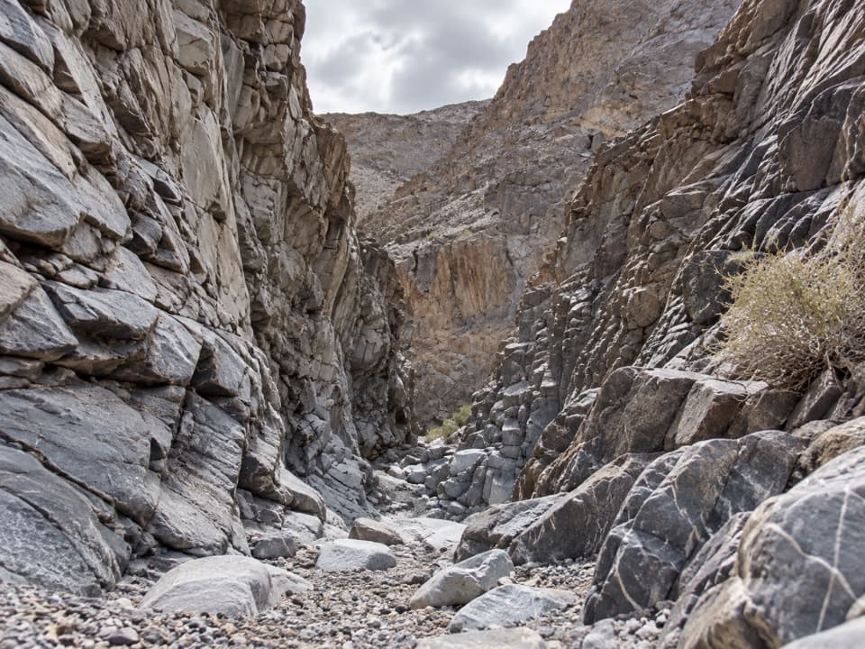
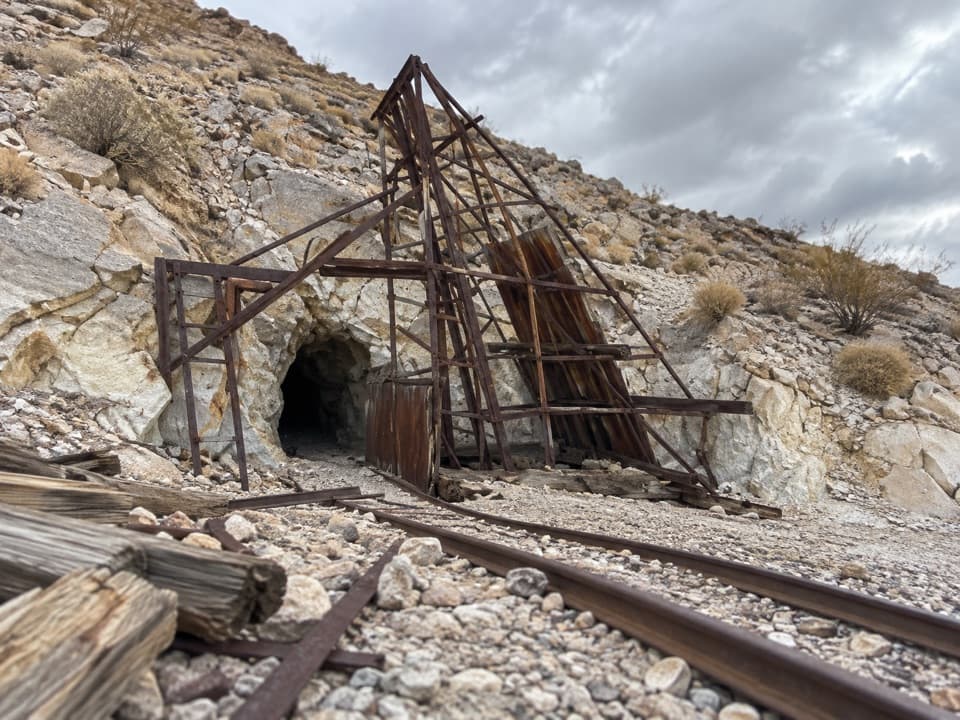
From the wide parking area at Grandstand, the old miners' tread crosses a gentle bajada, angles north along the mountain, then cuts up a rocky gully where the path is easy to lose. Short switchbacks reach a small ridge; keep climbing higher to the 4,901-foot saddle. Just below it, a small quarry remains, though what was mined there is unknown.

The northern summit is the turn-aroundAbove the saddle, the route climbs through steep cliff bands, skirts slabs on the west side,…

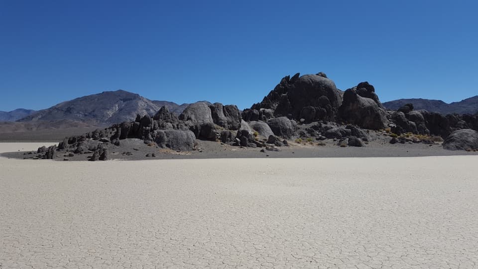
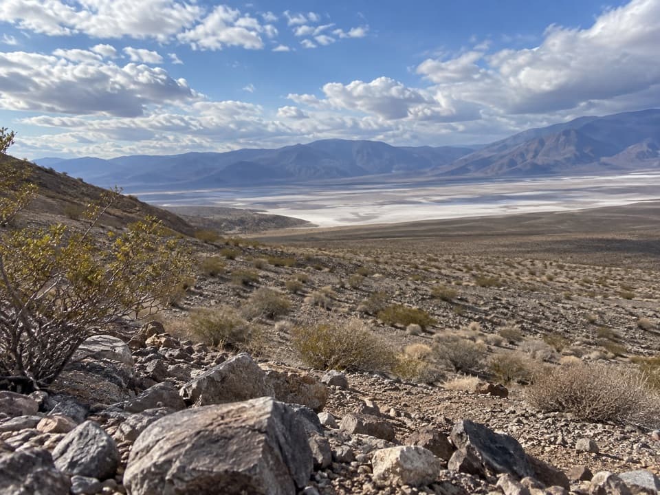
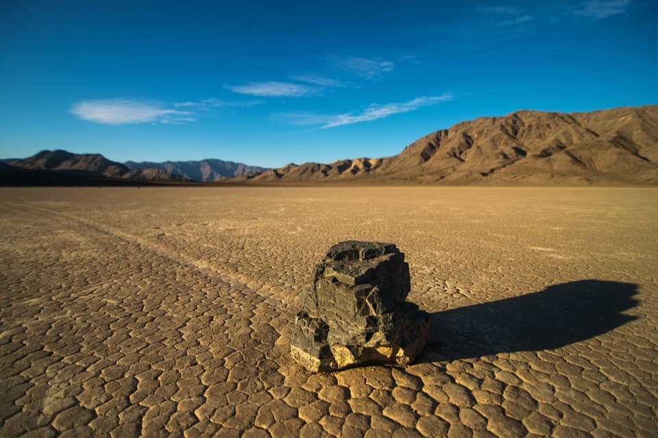
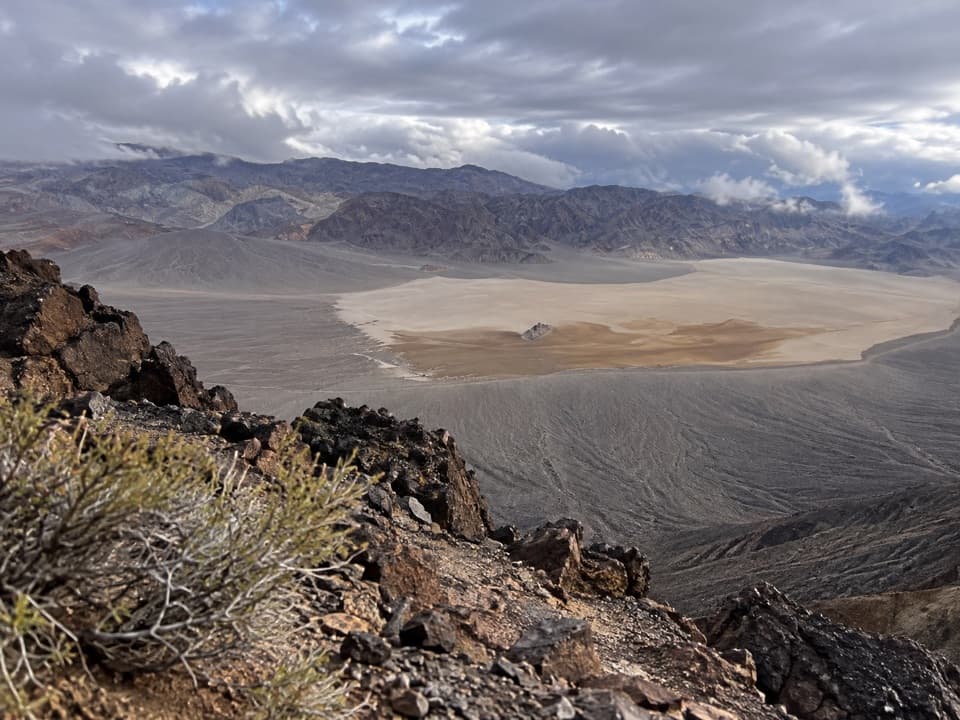
Above the saddle, the route climbs through steep cliff bands, skirts slabs on the west side, and reaches a second saddle south of Little Ubehebe. A short scramble north gets you to the summit. Racetrack Playa and the Grandstand lie east; Saline Valley opens west. That broad two-valley view is the payoff, and a dark strip of summit rock makes a useful foreground for it. The ridge continues south toward the higher Ubehebe Peak, but that longer outing is beyond this trail's mapped turn-around.

Wildlife

Wildlife in Death Valley

All Death Valley wildlife maps

Sighting maps show where each species has been reported across Death Valley. Wildlife moves, so no sighting is guaranteed.

Parkwolf’s Death Valley ranking

Top-rated trails in Death Valley

All 57 trails
  1. 1Badwater Salt FlatEasy · 1.9 mi
  2. 2Mosaic CanyonModerate · 4 mi
  3. 3Golden Canyon to Red CathedralModerate · 3 mi
  4. 4Telescope Peak TrailChallenging · 12.2 mi
  5. 5Golden Canyon Complete CircuitChallenging · 7.8 mi
  6. 6Gower Gulch LoopModerate · 4.3 mi

Take Parkwolf to Death Valley.

The audio tour guide for the drive, plus offline maps, trails, and wildlife heatmaps for when the signal drops.

4.7 from 8,600+ ratings

Download Parkwolf on the App StoreGet Parkwolf on Google Play