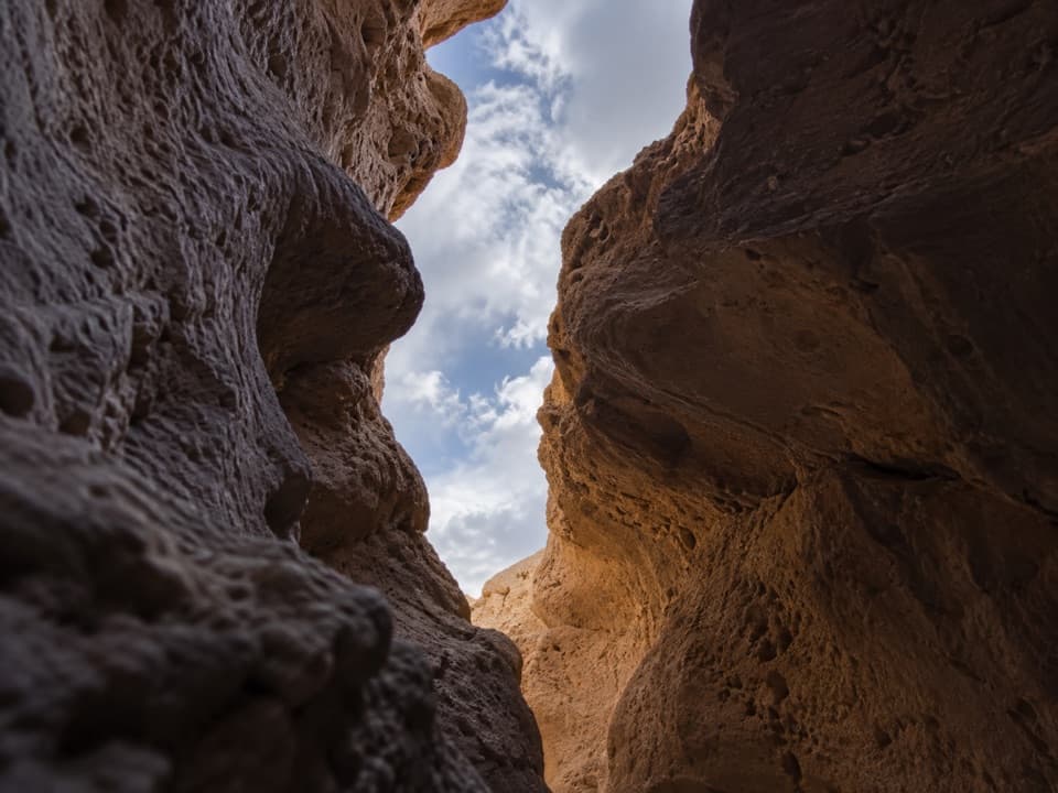
Funeral Slot Canyon in Death Valley National Park

Death Valley National Park, CA · NV

Funeral Slot Canyon

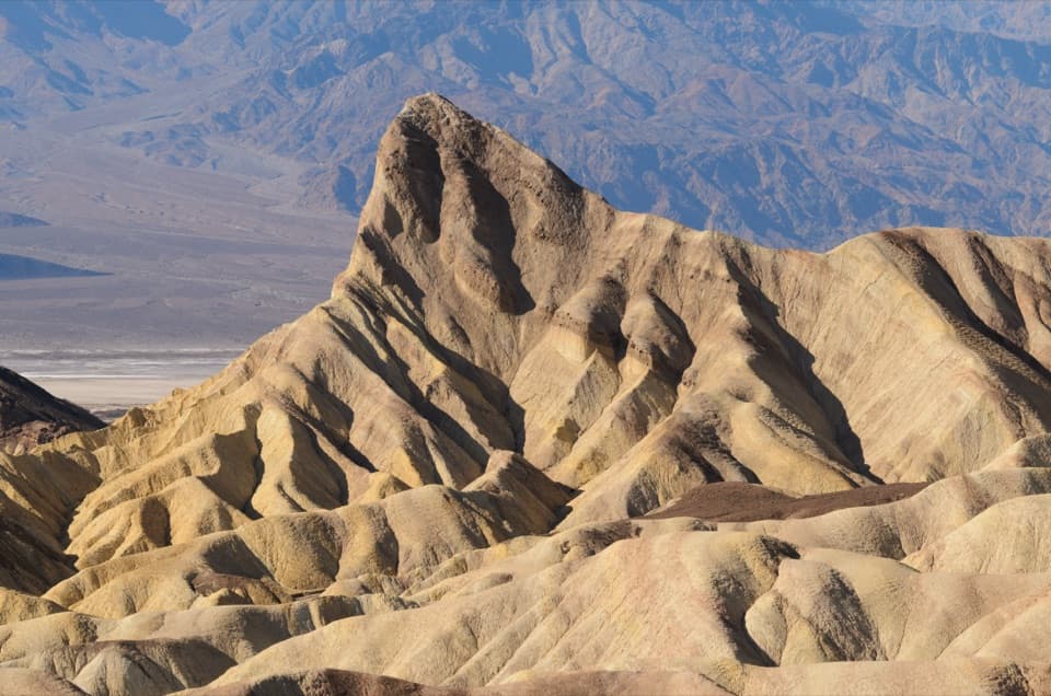
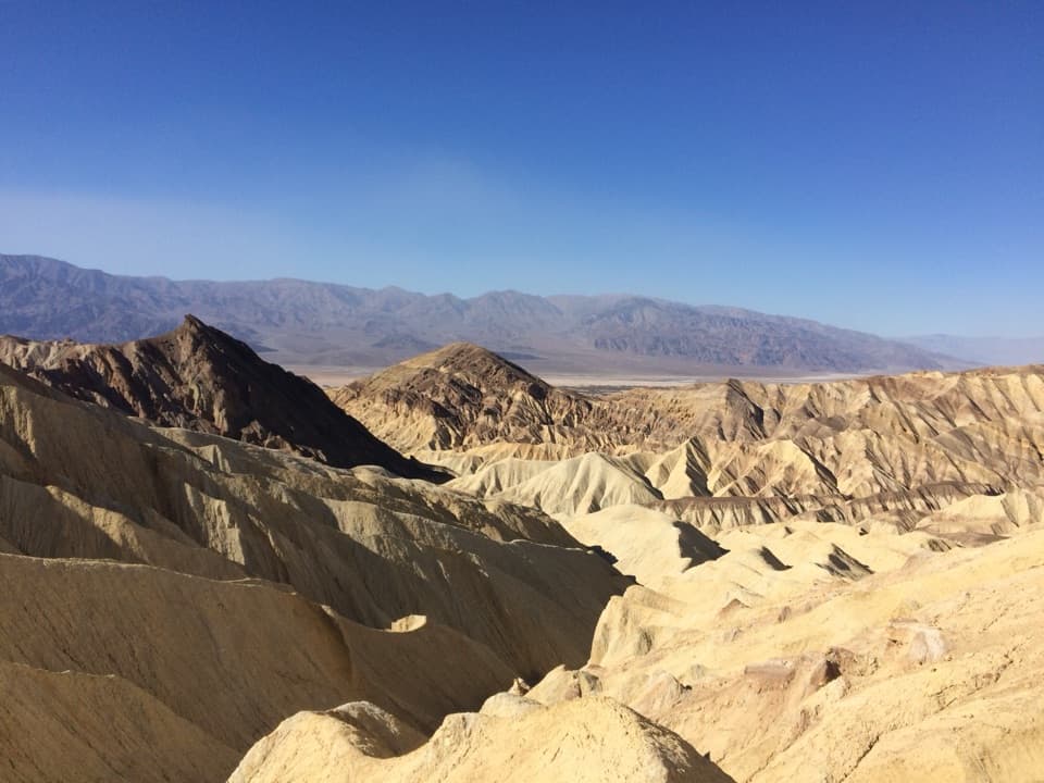
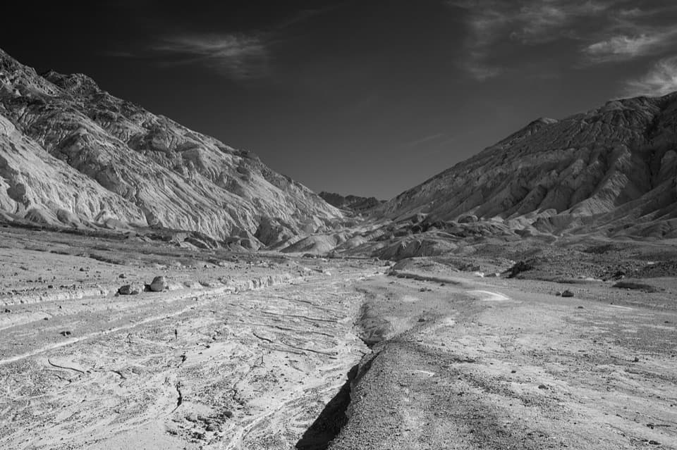
A colorful wash narrows into a sculpted slot canyon.

Length
6.9mi
Time
4.5hr
Elev. change
1,284ft
Difficulty
Challenging
  • No dogs
  • High point 1,196 ft

Hear the audio tour

Texas Springs and Sunset: Choosing a Campsite

Overview

About Funeral Slot Canyon

Why go

  • Colorful washes narrow into sculpted slot-canyon walls.

Heads up

  • The unmarked approach crosses broad washes with few landmarks.
  • The mapped route stops before the technical Tunnel Fall continuation.

Map & elevation

The route

Loading the Death Valley map
Full map
Elevation-87–1,196 ft
TrailheadTexas Springs Campground entrance36.46007, -116.85730
Keep this map with you offline in the Parkwolf app

Plan your hike

Before you go

Parking

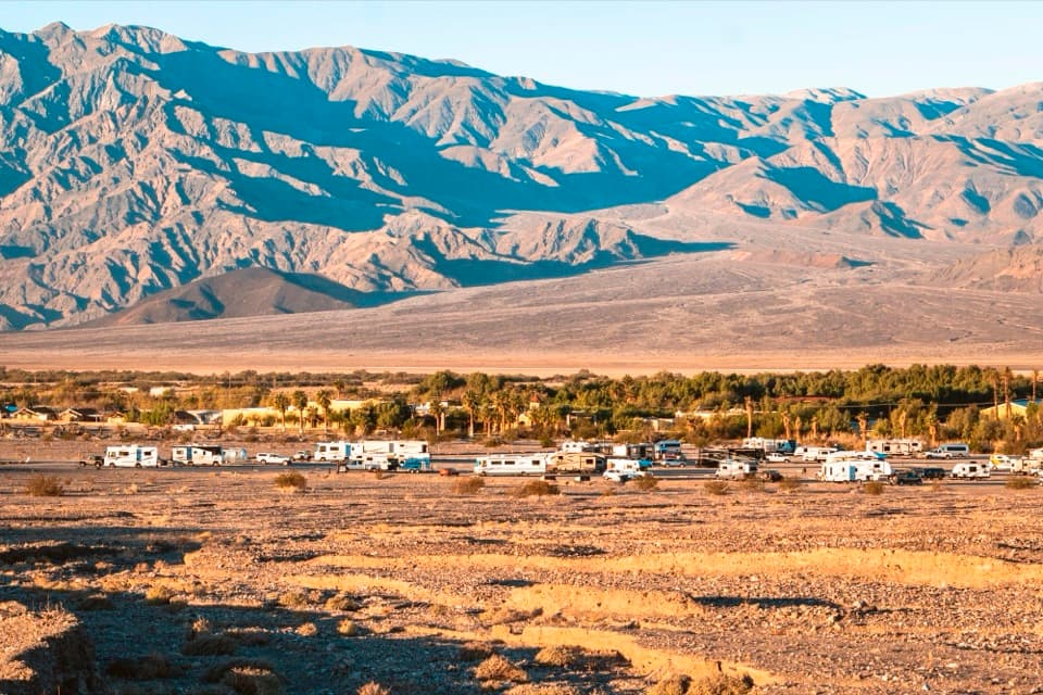
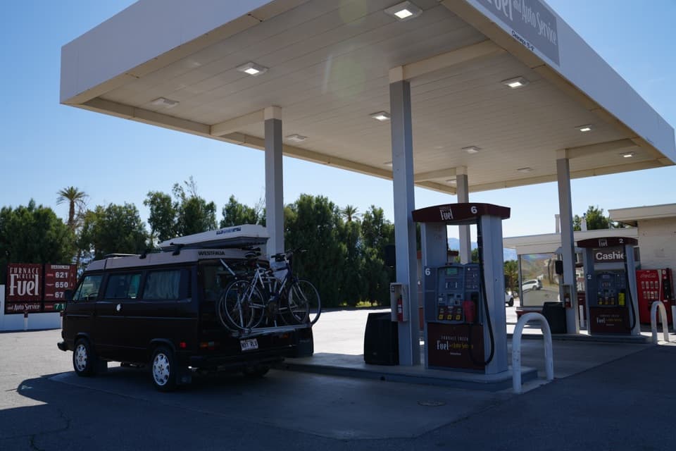
Use the Texas Springs Campground entrance road off CA-190, just beyond Furnace Creek Ranch. The informal start is on the wide shoulder immediately outside the entrance, north of the pavement; do not park among campsites. When seasonal campground access is closed, the Highway 190 approach adds about 1.4 miles each way. Water and flush toilets at the campground are seasonal.

Safety

The route crosses unmarked, braided washes with few landmarks; navigate from the offline line. There is no dependable water or shade along the route, and low-elevation heat can be dangerous. Flash floods move quickly through canyons, so stay out when rain threatens. The unmapped continuation to Tunnel Fall reaches a 40–50-foot pour-over; climbing above it requires Class 4 moves and is outside the saved route.

4 active Death Valley alerts

  • ClosureRoad closures and hazardous conditionsSeveral park roads are closed or hazardous; follow closures and vehicle restrictions.Official details
  • ClosureSaline Valley Lower Springs closed after wildfireLower Springs pools at Saline Valley Warm Springs remain closed because the September 15 wildfire left safety hazards, including potential hazardous chemicals; do not enter the closed area.Official details
See all 4 alerts
A park ranger sits on a dash-mounted phone, talking, as Parkwolf’s Tour Guide plays “Army Cutworm Moths: A Grizzly Bear Buffet” on Grand Loop Road below Dunraven Pass in Yellowstone
Parkwolf Tour GuideThe highest, rockiest slopes around here are a summer buffet for grizzly bears.

Death Valley Tour Guide

Your drive to Funeral Slot Canyon, narrated.

Parkwolf is a GPS audio tour guide for Death Valley National Park. As you drive, it chimes in with what’s ahead: hidden gems, upcoming stops, history, geology, and wildlife, right through your car’s speakers.

See the Death Valley audio tour

Recorded for this trailhead

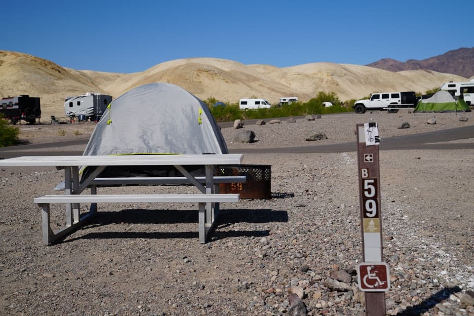
Texas Springs and Sunset: Choosing a Campsite
0:00 / 0:33
“You're coming up on the Texas Springs and Sunset campground area, with two first-come options near Furnace Creek.”

Plays as you drive up to this trailhead in the Parkwolf Death Valley Tour Guide.

More stories near here in the app

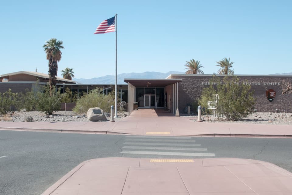
  • Furnace Creek Visitor Center: Get Your Bearings
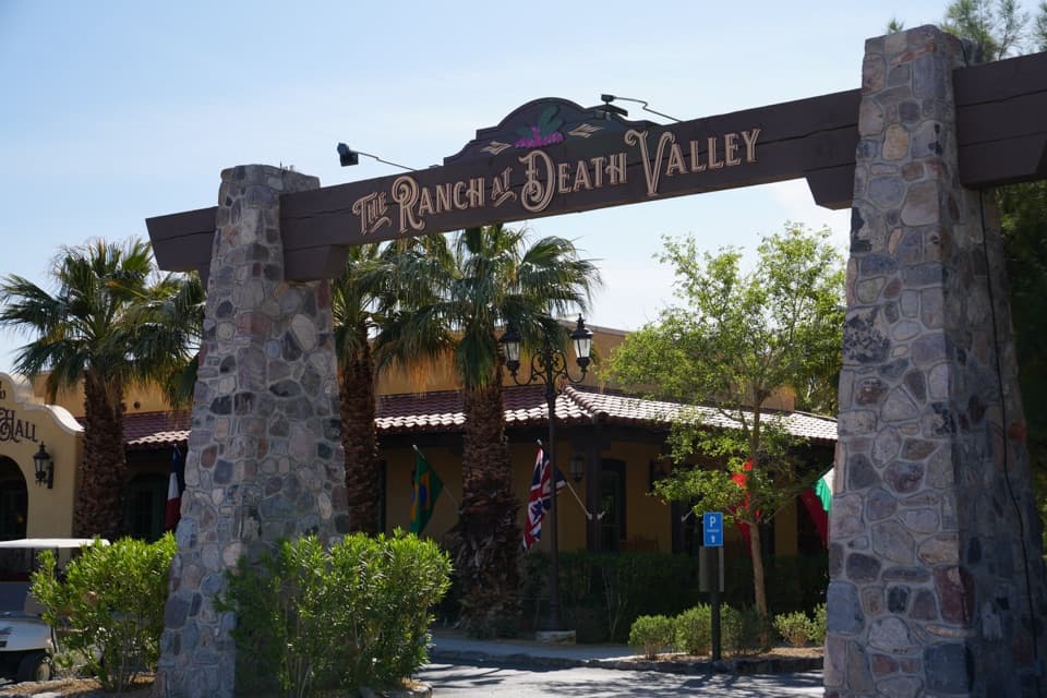
  • The Ranch at Death Valley: Date Shakes and Dinner
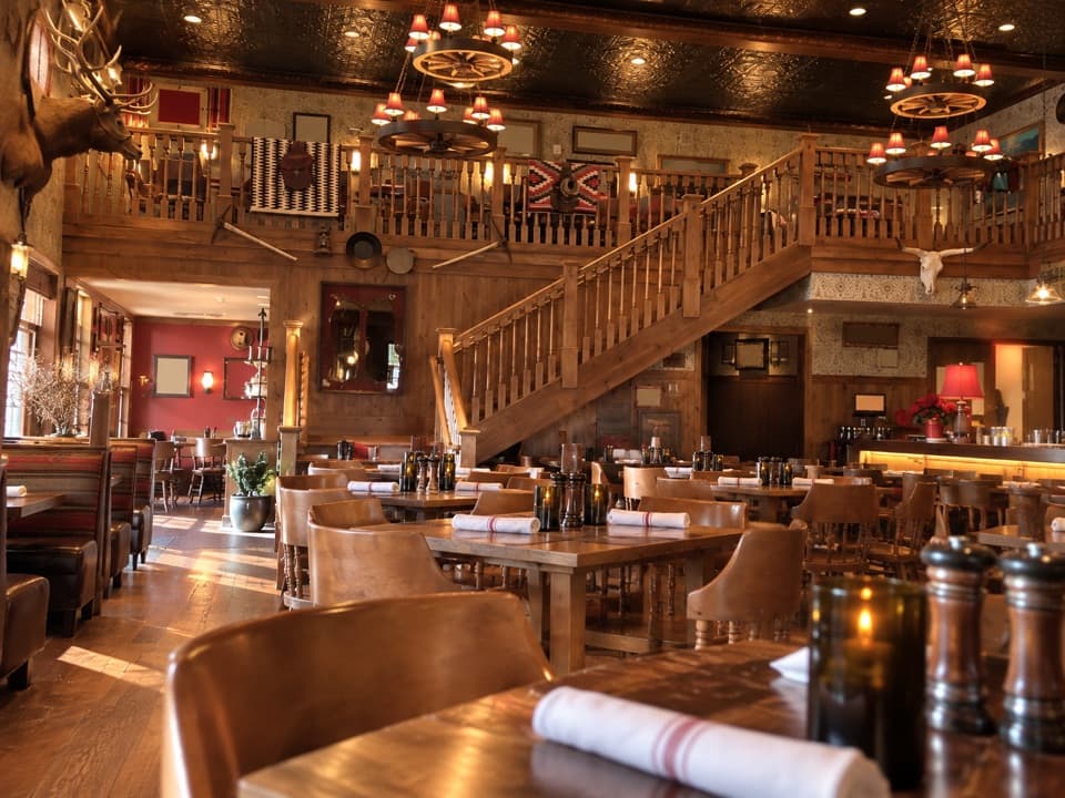
  • The Inn at Death Valley: A Historic Resort Meal
  • Harmony Borax Works: The Wagon Haul
  • 228 audio storiesacross Death Valley’s roads, triggered by GPS as you drive
  • Wildlife heatmapsfor Bighorn Sheep, Desert Tortoise, Coyote, and 13 more
  • Works offlinemaps, 57 trails, 81 places, and audio download before you lose signal
  • CarPlay readysimple controls built for the drive
★★★★★
“Fantastic app with many points of information… It’s great to just turn on while you’re driving and it gives you an audio tour of the national Park. We love it!!!!”
JMJamesApp Store review
Download Parkwolf on the App StoreGet Parkwolf on Google Play

4.7 from 8,600+ ratings

Trail guide

Hiking Funeral Slot Canyon

What this hike isFuneral Slot Canyon is a 6.

Funeral Slot Canyon is a 6.9-mile out-and-back from the Texas Springs Campground entrance to the mapped canyon fork near the narrow slots. It climbs about 1,300 feet on the way in; allow four to five hours. The appeal is the change from a broad gravel wash to sculpted canyon walls. The approach is mostly unmarked and has few landmarks, so this is for hikers comfortable following an offline route. The saved line turns back before the high pour-over farther up-canyon.

Finding the canyonCross the road berm from the entrance and follow the main wash northeast.

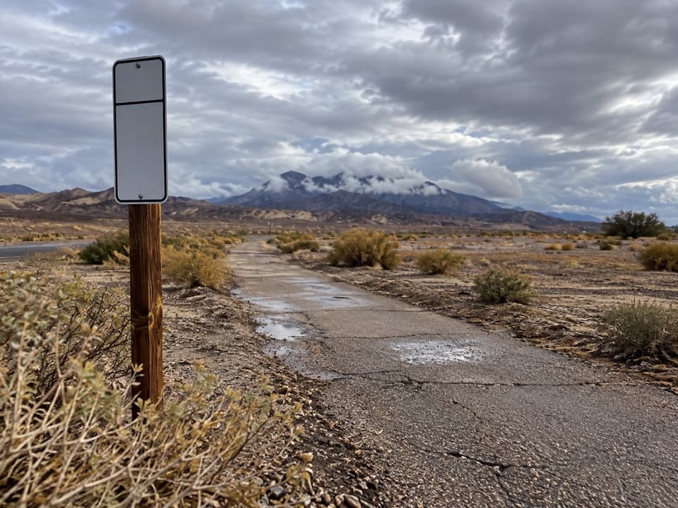
Cross the road berm from the entrance and follow the main wash northeast. For about the first mile, several braided channels look alike. At the first major fork, take the left-hand wash. A triangular yellow mud hill stands out around 1.7 miles; passing it on the north side is a little more direct. Beyond it, the wash walls rise and funnel you toward the canyon.

At the forksAs the wash narrows, look for cairns and a large white boulder at the canyon fork.

As the wash narrows, look for cairns and a large white boulder at the canyon fork. The slots cut into red, yellow and gray mud hills and conglomerate; smaller pour-overs and side clefts add variety. Keep the route loaded offline: the mapped line reaches the canyon fork near the narrow slot section, then turns back along the same corridor.

The limit of the mapped routeThe recorded hike stops short of the 40–50-foot pour-over called Tunnel Fall farther up the…

The recorded hike stops short of the 40–50-foot pour-over called Tunnel Fall farther up the canyon. That extra wash is not represented in the route. Climbing above the fall requires Class 4 moves, so treat it as a separate technical continuation rather than part of this hike.

Access and conditionsStart on the gravel shoulder just outside Texas Springs Campground on its CA-190 access road.

Start on the gravel shoulder just outside Texas Springs Campground on its CA-190 access road. When the campground is seasonally closed, the Highway 190 approach adds about 1.4 miles each way; campground water and flush toilets are seasonal. Plan low-elevation hiking for the cooler months: there is no dependable water or shade along the wash, summer heat can be dangerous, and a flash flood can race through the canyon. Stay out when rain threatens. Pets are not allowed on park trails or in wilderness.

Wildlife

Wildlife in Death Valley

All Death Valley wildlife maps

Sighting maps show where each species has been reported across Death Valley. Wildlife moves, so no sighting is guaranteed.

Keep exploring

Near Funeral Slot Canyon

See it all on the map

Trails that start nearby

Places near the trailhead

Parkwolf’s Death Valley ranking

Top-rated trails in Death Valley

All 57 trails
  1. 1Badwater Salt FlatEasy · 1.9 mi
  2. 2Mosaic CanyonModerate · 4 mi
  3. 3Golden Canyon to Red CathedralModerate · 3 mi
  4. 4Telescope Peak TrailChallenging · 12.2 mi
  5. 5Golden Canyon Complete CircuitChallenging · 7.8 mi
  6. 6Gower Gulch LoopModerate · 4.3 mi

Take Parkwolf to Death Valley.

The audio tour guide for the drive, plus offline maps, trails, and wildlife heatmaps for when the signal drops.

4.7 from 8,600+ ratings

Download Parkwolf on the App StoreGet Parkwolf on Google Play