Parking
Start at Furnace Creek Visitor Center at the south end. Harmony Borax Works has parking at the other end; use it for a one-way walk only if you arrange a ride back. Running-water restrooms are at the Visitor Center.
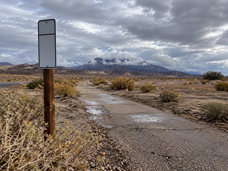
Death Valley National Park, CA · NV
A flat paved walk from Furnace Creek to the old borax works.
Overview
Furnace Creek Bike Path is a 2.6-mile out-and-back from Furnace Creek Visitor Center to Harmony Borax Works, crossing the valley floor on a paved, nearly level path. The mapped path is about 1.34 miles between its ends, so the 2.6-mile figure includes the walk back. It is an easy way to reach the historic site without driving; the path itself is a simple crossing, and Harmony is the payoff. Allow about 75 minutes for the return walk, then add around 30 minutes for the separate interpretive loop.
 Parkwolf’s verdictIs it worth the walk?
Map & elevation
Plan your hike

The highest, rockiest slopes around here are a summer buffet for grizzly bears.
Death Valley Tour Guide
Parkwolf is a GPS audio tour guide for Death Valley National Park. As you drive, it chimes in with what’s ahead: hidden gems, upcoming stops, history, geology, and wildlife, right through your car’s speakers.
See the Death Valley audio tourRecorded for this trailhead
Furnace Creek Visitor Center: Get Your Bearings“You're approaching Furnace Creek Visitor Center, a useful stop if you're still deciding what to explore.”
Plays as you drive up to this trailhead in the Parkwolf Death Valley Tour Guide.
More stories near here in the app
“Fantastic app with many points of information… It’s great to just turn on while you’re driving and it gives you an audio tour of the national Park. We love it!!!!”


Trail guide
At the north end, a separate 0.4-mile interpretive loop passes adobe ruins, displays and a 20-Mule Team wagon. Harmony began processing borax in late 1883 or early 1884 and closed in 1888. At full production, about 40 workers made three tons a day; most were Chinese laborers who gathered mineral from the valley floor. In summer, the heat kept processing water from cooling enough for borax to crystallize, so the operation moved to a plant near present-day Tecopa.
Start at the Furnace Creek Visitor Center, where the paved route heads north to Harmony. There is parking at both ends, so you can also begin at Harmony if you have a ride back. Running-water restrooms are at the Visitor Center; Harmony has no restroom. Bikes are allowed on this designated route as well as walkers. The path is at valley-floor elevation, so skip it when conditions are hot; summer heat can make even a short walk here dangerous.
Wildlife
 72 sightingsBighorn SheepMost seen around 6 PMSighting map
 101 sightingsDesert TortoiseMost seen around 8 AMSighting map
 466 sightingsCoyoteMost seen around 6 PMSighting map
 29 sightingsFeral BurroMost seen around 5 PMSighting map
 30 sightingsMule DeerMost seen around 7 PMSighting map
 65 sightingsKit FoxMost seen around 7 PMSighting map
Sighting maps show where each species has been reported across Death Valley. Wildlife moves, so no sighting is guaranteed.
Keep exploring
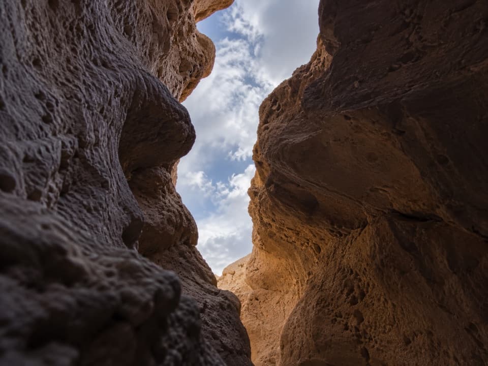 ChallengingFuneral Slot Canyon6.9 mi · 4.5 hr · 0.5 mi awayA colorful wash narrows into a sculpted slot canyon.
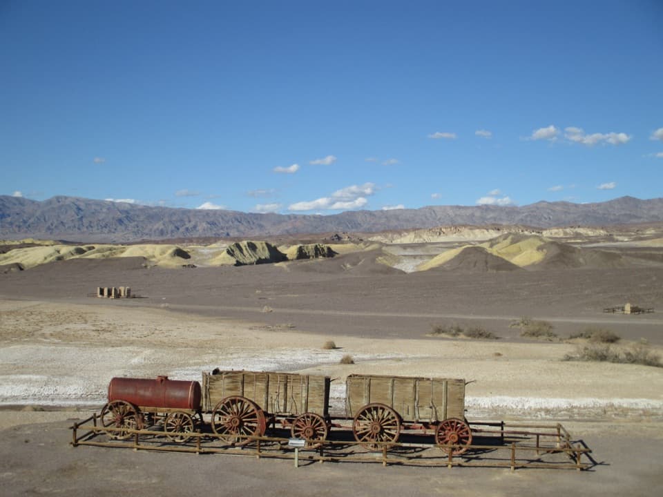 EasyHarmony Borax Works Interpretive Trail0.4 mi · 30 min · 1.3 mi awayWalk among borax ruins and the original twenty-mule wagons.
 ModerateGolden Canyon to Red Cathedral3 mi · 1.8 hr · 3.1 mi awayA rocky canyon climb ends beneath Red Cathedral’s fluted red cliffs.ChallengingGolden Canyon Complete Circuit7.8 mi · 4.5 hr · 3.1 mi awayRed Cathedral, Zabriskie Point, and Gower Gulch on one long loop
 ModerateGower Gulch Loop4.3 mi · 2.5 hr · 3.1 mi awayGolden walls, an exposed climb, and a winding wash through Gower Gulch.
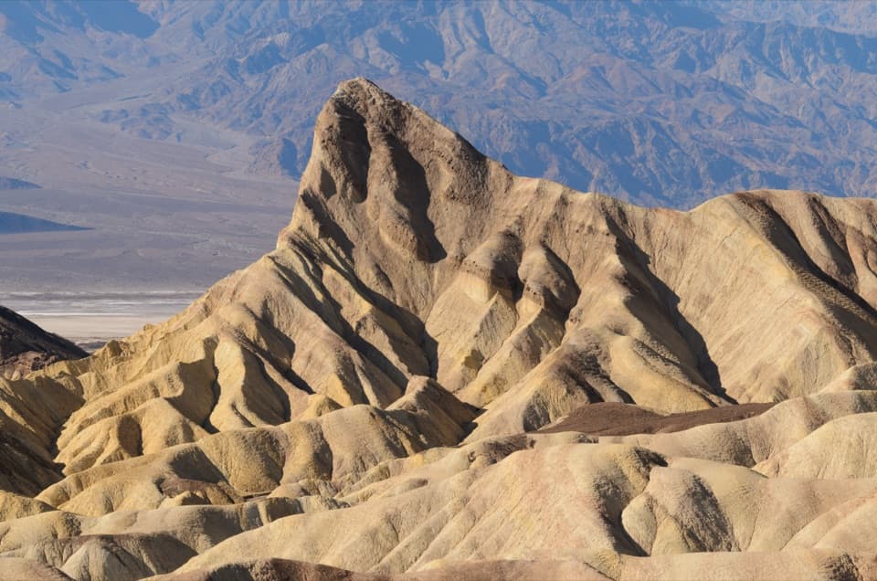 ModerateGolden Canyon to Zabriskie Point Trail2.9 mi · 2 hr · 3.1 mi awayA signed badlands traverse beneath Manly Beacon to Zabriskie Point.
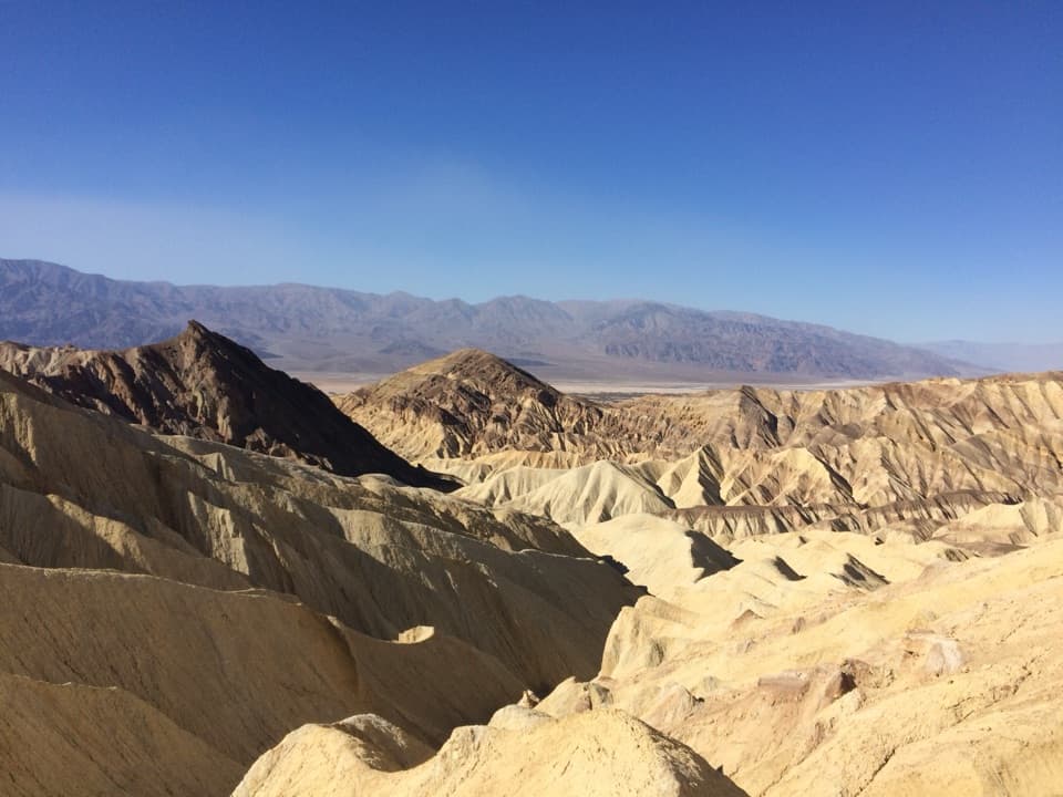 ModerateBadlands Loop2.7 mi · 1.8 hr · 4.2 mi awayA 2.7-mile loop through colorful badlands below Zabriskie Point.
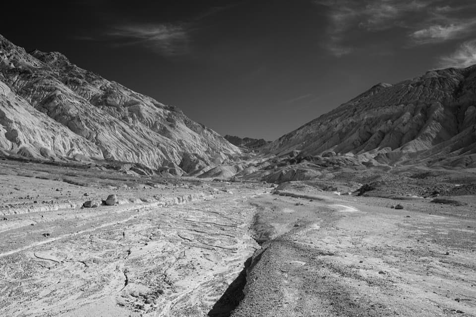 ChallengingDesolation Canyon3.6 mi · 2.5 hr · 4.8 mi awayCanyon narrows lead to a high view over Artist Drive.
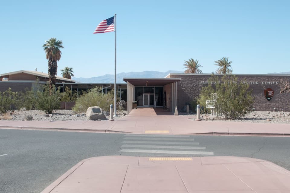 Visitor center · At the trailheadFurnace Creek Visitor CenterGet ranger advice, then meet life-size bighorn sheep models.
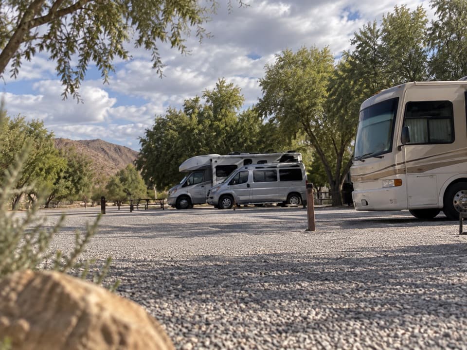 Campground · 0.1 mi awayFiddlers’ RV ParkAn RV base near the Ranch pool, no hookups or dump station.
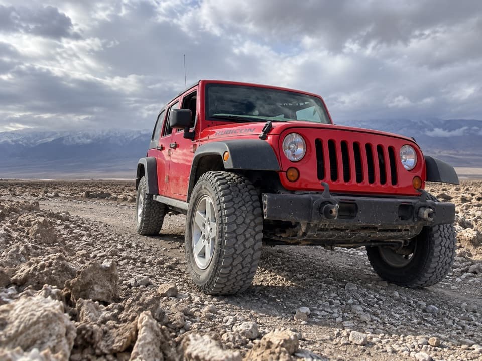 0.1 mi awayFarabee’s Jeep RentalsA Jeep and route advice open the park’s dirt-road backcountry.
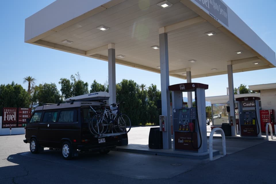 Gas station · 0.1 mi awayFurnace Creek Gas StationThe practical refuel stop before Death Valley’s remote roads.
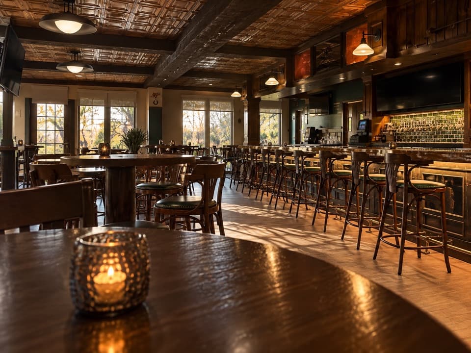 Restaurant · 0.2 mi awayWild Rose TavernA seasonal tavern with golf-course views and draft beer.
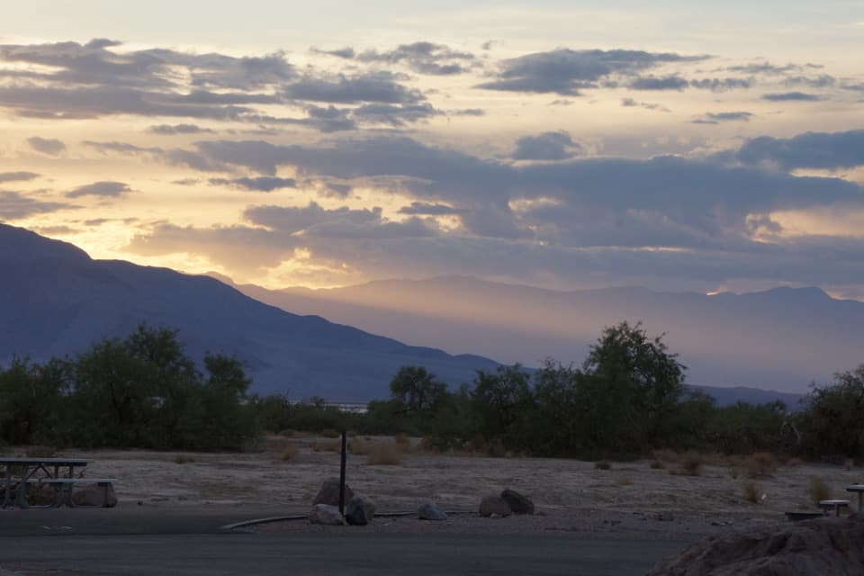 Campground · 0.2 mi awayFurnace Creek CampgroundA low desert base with 136 sites and some RV hookups.
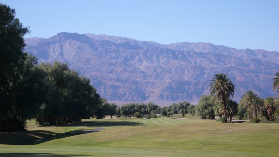 Sight · 0.3 mi awayFurnace Creek Golf CourseA full round 214 feet below sea level.
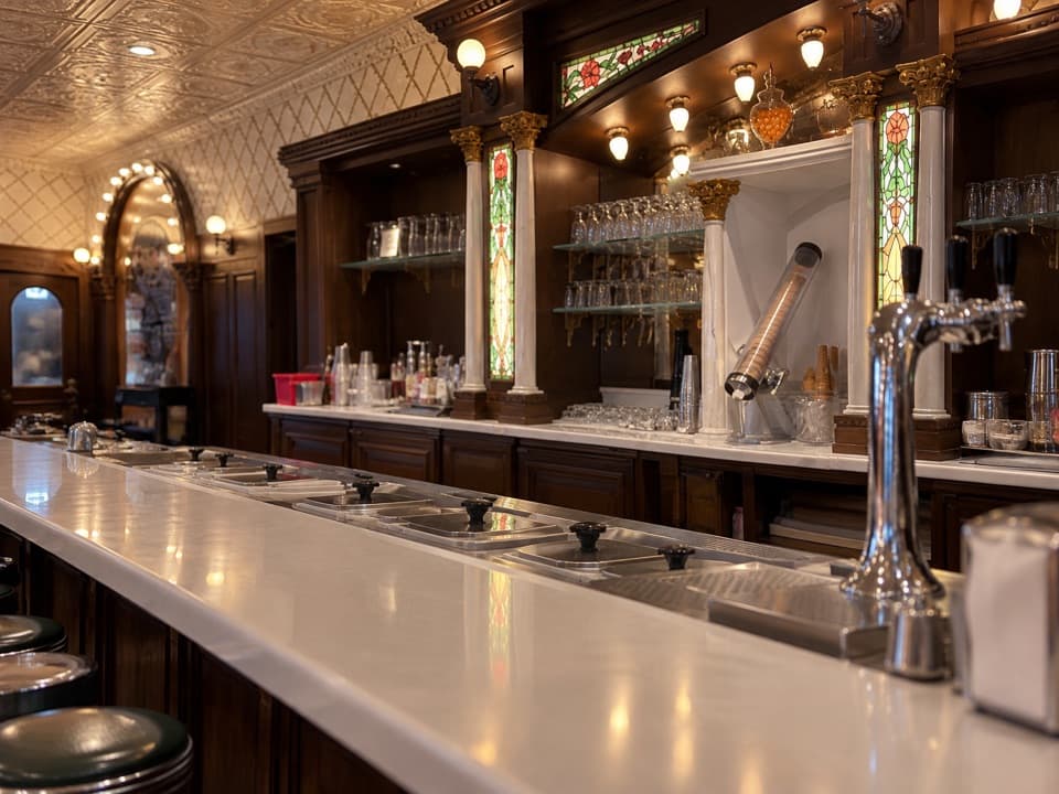 Restaurant · 0.3 mi awayIce Cream ParlorDate shakes in a retro soda fountain with a small grill menu.
Parkwolf’s Death Valley ranking
The audio tour guide for the drive, plus offline maps, trails, and wildlife heatmaps for when the signal drops.


