Parking
Paved Harmony Borax Works parking area about 1 mile west of Furnace Creek on CA-190; large spaces accommodate RVs and buses. The closest restroom is at the Furnace Creek Visitor Center about 1 mile east.
Death Valley National Park, CA · NV
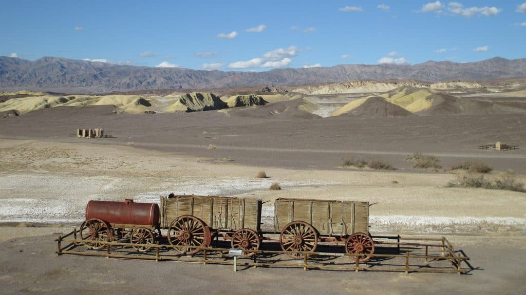
A short paved loop through the ruins and stories of Death Valley’s Harmony Borax Works.
Overview
This short, paved 0.4-mile loop circles the preserved ruins of Harmony Borax Works, a historic borax-processing plant that operated from 1883 to 1888. Interpretive panels explain Death Valley borax, the Mule Skinner, life in Harmony, and the famous 20-Mule Teams. The easy loop takes about 30 minutes round trip and has about 50 feet of elevation gain.
A good choice for families, history enthusiasts, and anyone wanting a quick, easy introduction to Death Valley’s borax-mining history. Visitors seeking a strenuous or remote hike should choose another route.
 Parkwolf’s verdictWho It’s For
Map & elevation
Plan your hike

The highest, rockiest slopes around here are a summer buffet for grizzly bears.
Death Valley Tour Guide
Parkwolf is a GPS audio tour guide for Death Valley National Park. As you drive, it chimes in with what’s ahead: hidden gems, upcoming stops, history, geology, and wildlife, right through your car’s speakers.
See the Death Valley audio tourRecorded for this trailhead
Mustard Canyon Scenic Drive“Right by the Harmony Borax Works, there’s a turnoff for a scenic drive called Mustard Canyon. This is a short, mellow, one-way unpaved loop that takes you right through some bright yellow badlands.”
Plays as you drive up to this trailhead in the Parkwolf Death Valley Tour Guide.
More stories near here in the app
“Fantastic app with many points of information… It’s great to just turn on while you’re driving and it gives you an audio tour of the national Park. We love it!!!!”


Trail guide
The compact loop passes historic plant and townsite remains and interpretive exhibits about the people, process, and mule teams that carried borax from Death Valley to market. It is a focused history stop rather than a long backcountry hike, with open desert and mountain views around the site.
The visitor route is a paved loop in a developed historic site. The existing pavement can be uneven or cracked in places, so use care with wheels and strollers and check the surface before relying on it for a mobility device.
Use the paved Harmony Borax Works parking area about 1 mile west of Furnace Creek on CA-190; the lot has large spaces for RVs and buses. There are no restrooms at the site; the closest restroom is at the Furnace Creek Visitor Center about 1 mile east. No pets are permitted on the Harmony Borax Works loop trail. Stay on the route, do not climb on the ruins, and do not disturb historic artifacts.
Wildlife
 71 sightingsBighorn SheepMost seen around 6 PMSighting map
 101 sightingsDesert TortoiseMost seen around 8 AMSighting map
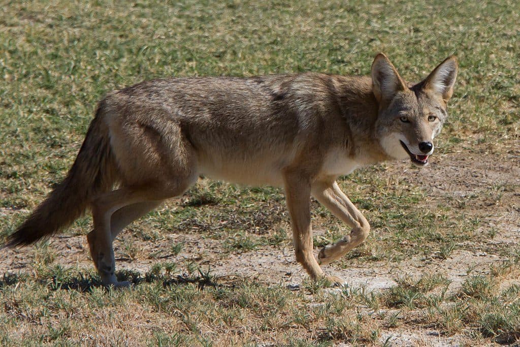
 458 sightingsCoyoteMost seen around 6 PMSighting map
 28 sightingsFeral BurroMost seen around 5 PMSighting map
 30 sightingsMule DeerMost seen around 7 PMSighting map
 62 sightingsKit FoxMost seen around 7 PMSighting map
Sighting maps show where each species has been reported across Death Valley. Wildlife moves, so no sighting is guaranteed.
Keep exploring
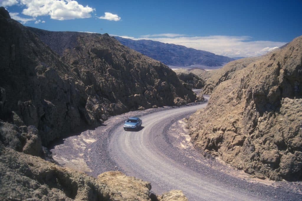 EasyMustard Canyon Loop1.3 mi · 30 min · 0.2 mi awayOne-way drive through mustard-colored badlands from Harmony Borax Works to CA-190
 ModerateGolden Canyon to Red Cathedral3 mi · 1.8 hr · 4.4 mi awayA 3-mile Golden Canyon out-and-back to the red walls of Red Cathedral.
 ModerateGolden Canyon and Gower Gulch Loop4.3 mi · 2.5 hr · 4.4 mi awayModerate badlands loop linking Golden Canyon and Gower Gulch
 ChallengingZabriskie Point to Golden Canyon7.8 mi · 4.5 hr · 5.4 mi awayStrenuous 7.8-mile loop from Zabriskie Point through Gower Gulch and Golden Canyon
 ModerateBadlands Loop (Zabriskie Point)2.7 mi · 1.8 hr · 5.4 mi awayA 2.7-mile moderate loop through colorful badlands below Zabriskie Point.
 EasyZabriskie Point Overlook Trail0.3 mi · 8 min · 5.5 mi awayA short paved out-and-back from the Zabriskie Point parking area to Death Valley's iconic badlands overlook.
 ModerateDesolation Canyon Trail3.6 mi · 2.5 hr · 6.2 mi awayColor-drenched badlands and a quiet canyon with easy scrambles
 EasyArtist's Palette Wash0.4 mi · 48 min · 9 mi awayExplore a short, unmaintained loop through Death Valley's rainbow badlands.
 Sight · At the trailheadHarmony Borax WorksCompact ruins that tell the 20-mule team borax story
 Sight · 1.1 mi awayBlink24/7 Level 2 EV charger near Furnace Creek
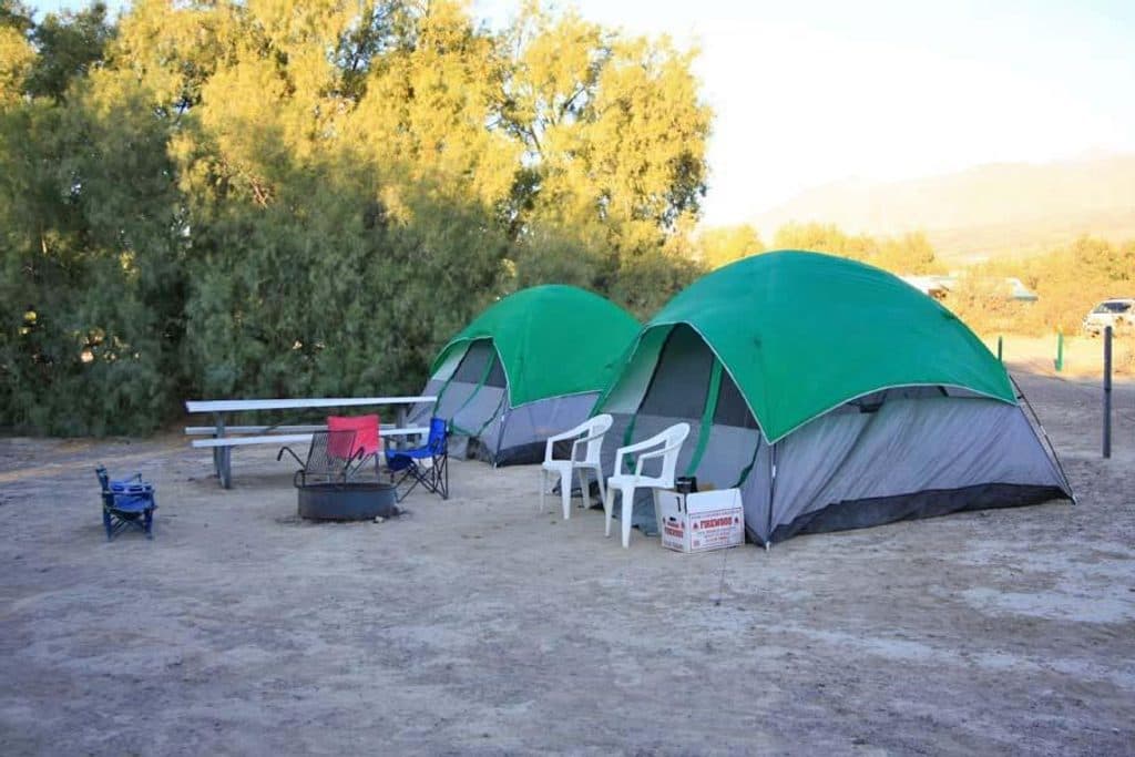 Campground · 1.2 mi awayFurnace Creek CampgroundCentral, reservable base camp with hookups at -196 feet
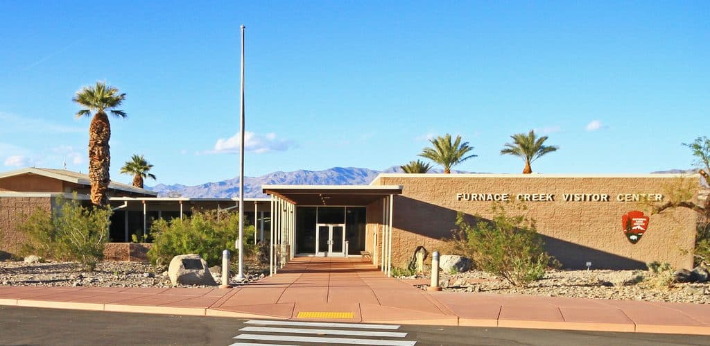 Visitor center · 1.3 mi awayDeath Valley National Park Visitor CenterHub for rangers, exhibits, AC, and the giant thermometer
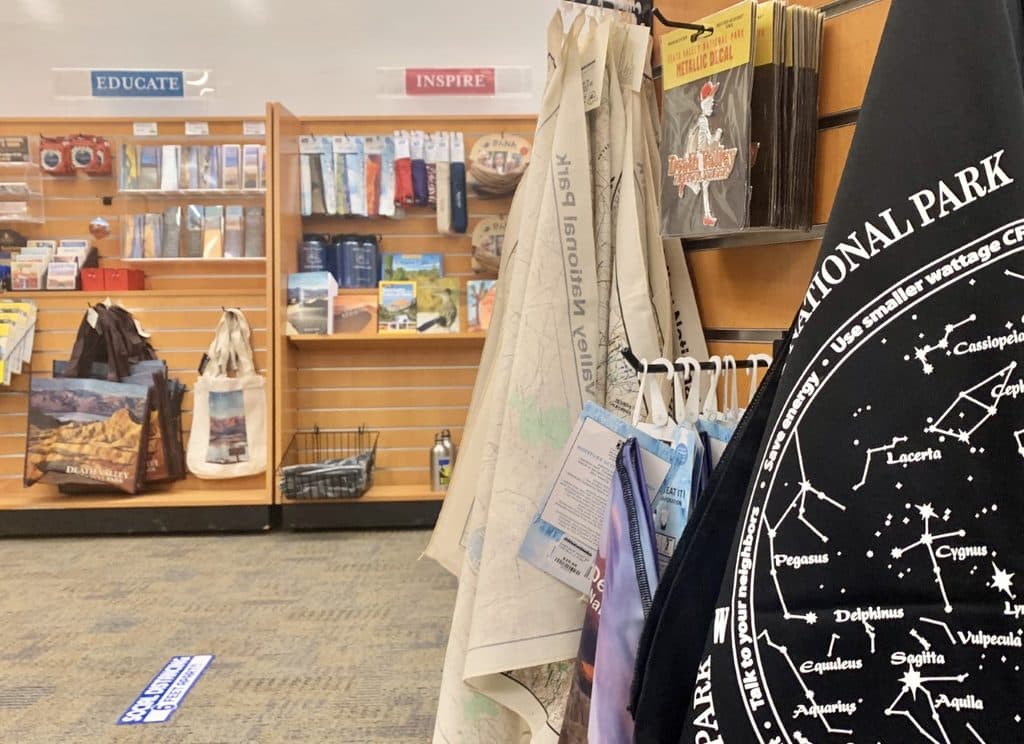 Store · 1.3 mi awayDeath Valley Natural History Association Park StoreOfficial shop for DEVA books and souvenirs that fund the park
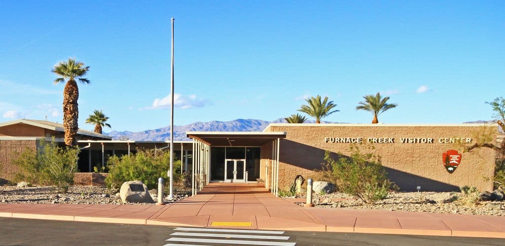 Sight · 1.3 mi awayFurnace Creek Visitor Center SignQuick photo stop with the famous giant thermometer out front
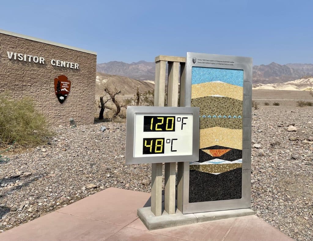 Sight · 1.4 mi awayFurnace Creek ThermometerClassic photo-op thermometer for extreme heat bragging rights
 Sight · 1.4 mi awayThe Furnace Creek Golf Course at Death ValleyAn oasis round at the world’s lowest-elevation golf course
Parkwolf’s Death Valley ranking
The audio tour guide for the drive, plus offline maps, trails, and wildlife heatmaps for when the signal drops.