Parking
Use the paved Zabriskie Point parking area on CA-190; it has large bus and RV spaces and a vault toilet.
#9 of 57 trails in Death Valley
Death Valley National Park, CA · NV
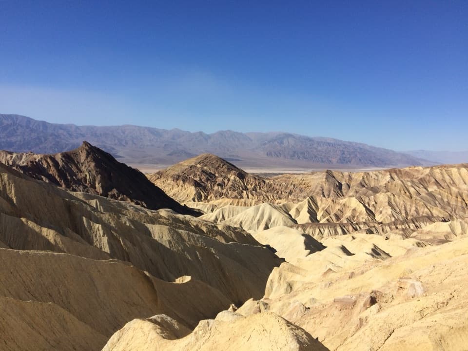
A 2.7-mile loop through colorful badlands below Zabriskie Point.
Photo: NPS / Dan Kish
Overview
Map & elevation
Plan your hike

The highest, rockiest slopes around here are a summer buffet for grizzly bears.
Death Valley Tour Guide
Parkwolf is a GPS audio tour guide for Death Valley National Park. As you drive, it chimes in with what’s ahead: hidden gems, upcoming stops, history, geology, and wildlife, right through your car’s speakers.
See the Death Valley audio tourRecorded for this trailhead
Zabriskie Point: Folded Badlands“You're approaching Zabriskie Point, one of the stops I'd keep for its wide view over the folded badlands. The paved path climbs about a quarter mile from the parking area, so expect a short uphill walk.”
Plays as you drive up to this trailhead in the Parkwolf Death Valley Tour Guide.
More stories near here in the app
“Fantastic app with many points of information… It’s great to just turn on while you’re driving and it gives you an audio tour of the national Park. We love it!!!!”


Trail guide
Badlands Loop is a 2.7-mile moderate circuit from Zabriskie Point, with a typical outing of 1.5 to 2 hours. Start beside the overlook, then follow the marked route off the rim and into the colorful badlands below. The appeal is the close-up walk through folds and gullies, not a summit at the end. The loop returns to the same access, so there is no shuttle or second car to arrange. If you only want the broad view, Zabriskie Point is right at the parking area; take the loop if you want to walk down among the ridges you see from above.
The path winds through a maze of narrow drainages, where adjoining washes can look alike. Small signs mark the major intersections. Bring a map and route description, check the signs when paths meet, and keep to Badlands Loop rather than following a connector toward Golden Canyon or Gower Gulch. Those routes join the same network, but they make for a different, longer outing. The 7.8-mile Complete Circuit links several of them; it is not the short Badlands Loop. This is an easy place to lose the intended line if you walk on without checking at a junction.
From the overlook, the terrain reads as bands of pale yellow, tan and darker rock. On the loop, those colors are close around you: the trail threads between eroded ridges and into narrow cuts in the ground. These colorful badlands are ancient lakebed deposits. The route’s turns and short ups and downs keep changing the view; it feels more like weaving through a small maze than following one straight canyon. Give yourself time to look around, but use the marked line to avoid turning a walk on the trail into an improvised cross-country route.
This is a low-elevation desert hike, so the season matters more than the mileage suggests. Summer heat can be dangerous, and spring and fall can still be uncomfortably hot. The cooler hiking season is roughly November through March. Carry at least 2 liters of water for a short winter day hike, and more for a warm day or a longer outing. Springs are rare and unreliable; plan as if there is no water along the route. If the forecast is hot, save the walk for another day and enjoy the viewpoint instead.
Use the paved Zabriskie Point parking area on CA-190. It has large spaces for buses and RVs and a vault toilet. The viewpoint makes a natural first stop before you head down and a final look when you return. Pets may be in developed areas such as parking lots and roads, but they are not allowed on this hiking trail. If you are visiting with a dog, choose one of the park’s permitted developed-area walks instead.
Wildlife
 72 sightingsBighorn SheepMost seen around 6 PMSighting map
 101 sightingsDesert TortoiseMost seen around 8 AMSighting map
 466 sightingsCoyoteMost seen around 6 PMSighting map
 29 sightingsFeral BurroMost seen around 5 PMSighting map
 30 sightingsMule DeerMost seen around 7 PMSighting map
 65 sightingsKit FoxMost seen around 7 PMSighting map
Sighting maps show where each species has been reported across Death Valley. Wildlife moves, so no sighting is guaranteed.
Keep exploring
 ModerateGolden Canyon to Red Cathedral3 mi · 1.8 hr · 1.9 mi awayA rocky canyon climb ends beneath Red Cathedral’s fluted red cliffs.ChallengingGolden Canyon Complete Circuit7.8 mi · 4.5 hr · 1.9 mi awayRed Cathedral, Zabriskie Point, and Gower Gulch on one long loop
 ModerateGower Gulch Loop4.3 mi · 2.5 hr · 1.9 mi awayGolden walls, an exposed climb, and a winding wash through Gower Gulch.
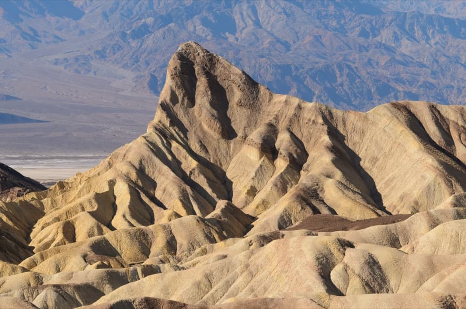 ModerateGolden Canyon to Zabriskie Point Trail2.9 mi · 2 hr · 1.9 mi awayA signed badlands traverse beneath Manly Beacon to Zabriskie Point.
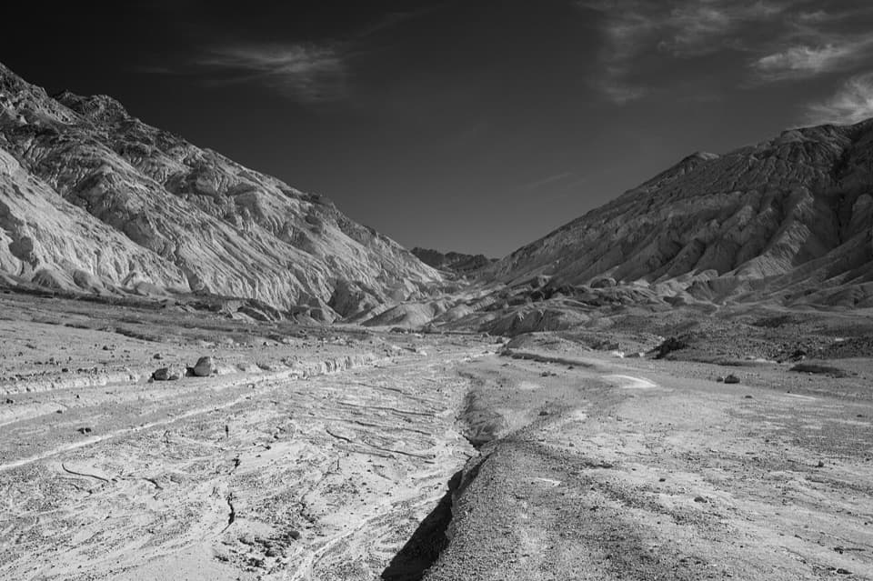 ChallengingDesolation Canyon3.6 mi · 2.5 hr · 2.2 mi awayCanyon narrows lead to a high view over Artist Drive.
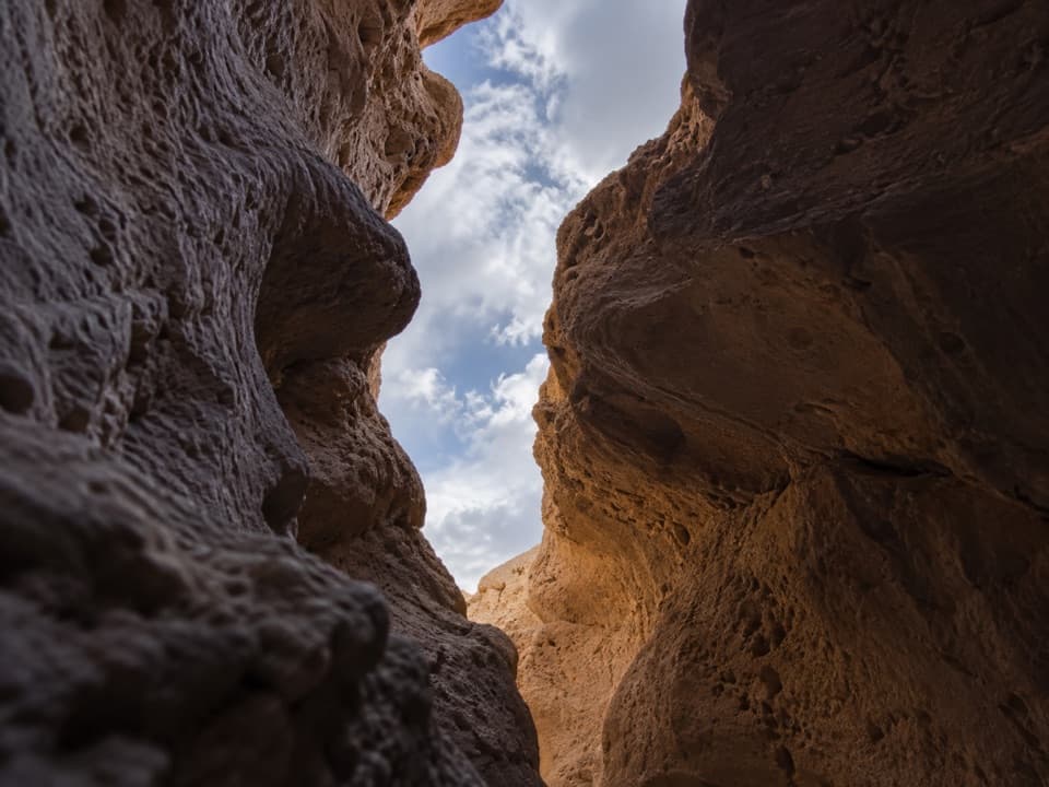 ChallengingFuneral Slot Canyon6.9 mi · 4.5 hr · 3.7 mi awayA colorful wash narrows into a sculpted slot canyon.
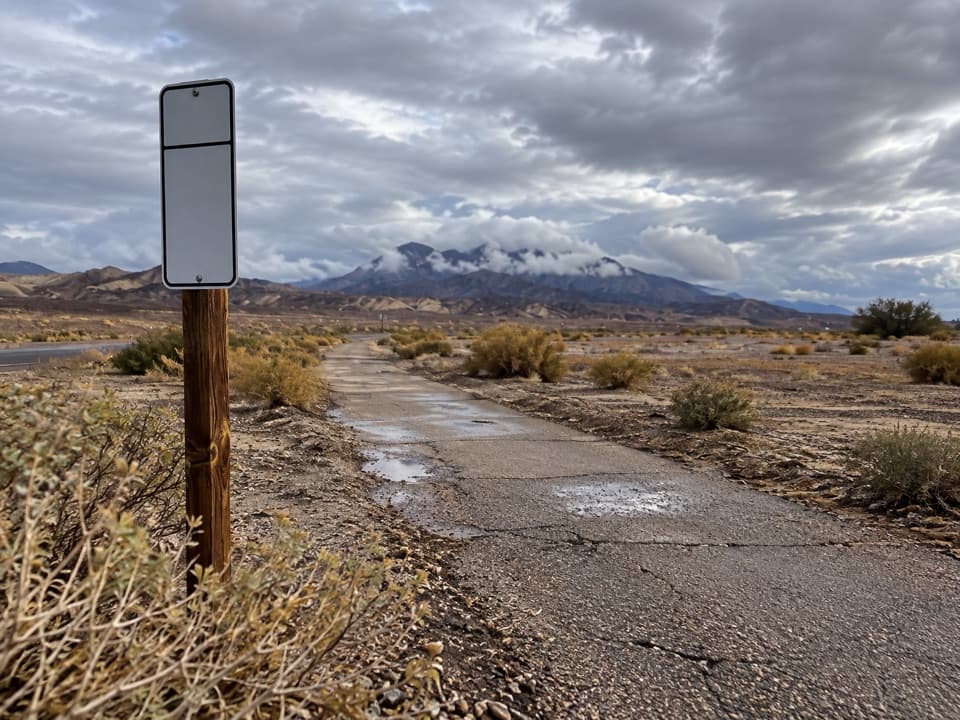 EasyFurnace Creek Bike Path2.6 mi · 1.3 hr · 4.2 mi awayA flat paved walk from Furnace Creek to the old borax works.
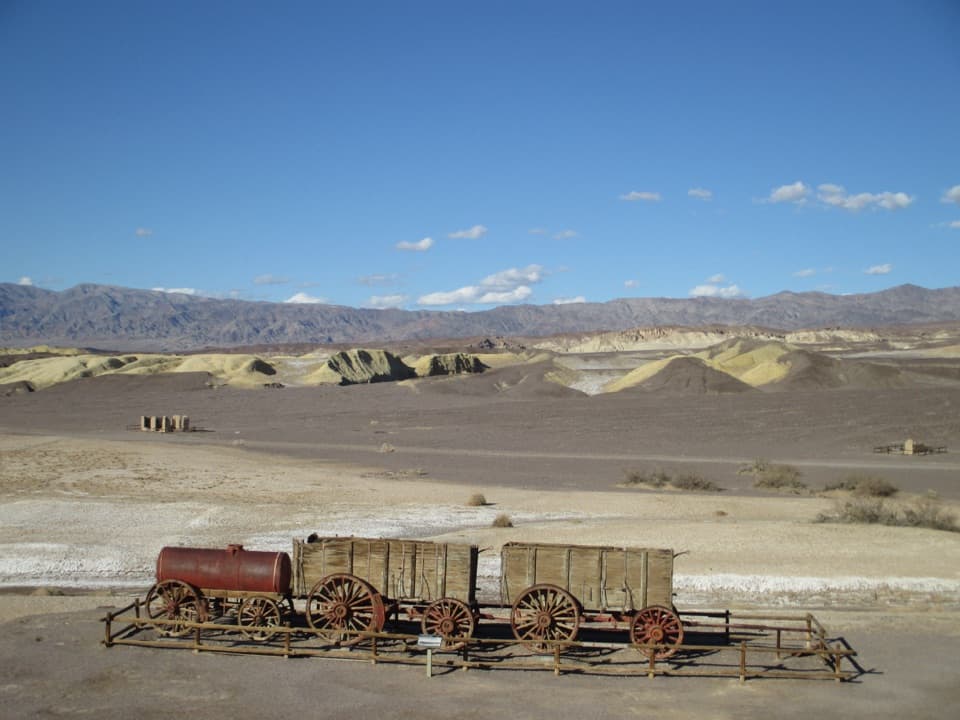 EasyHarmony Borax Works Interpretive Trail0.4 mi · 30 min · 5.4 mi awayWalk among borax ruins and the original twenty-mule wagons.Sight · At the trailheadZabriskie PointThe short uphill walk pays off in Manly Beacon and folded badlands
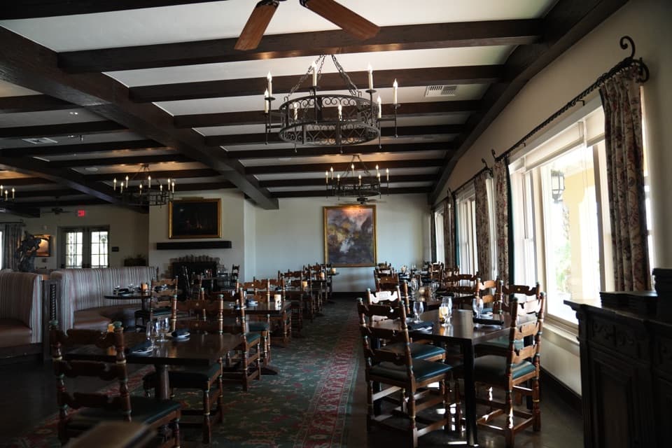 Restaurant · 3 mi awayThe Inn Dining RoomAn upscale meal with salt-pan views from the Inn Terrace.
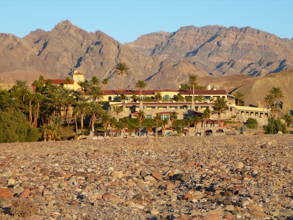 Lodging · 3.1 mi awayThe Inn at Death ValleyA spring-fed pool and palm garden in a historic desert hotel.
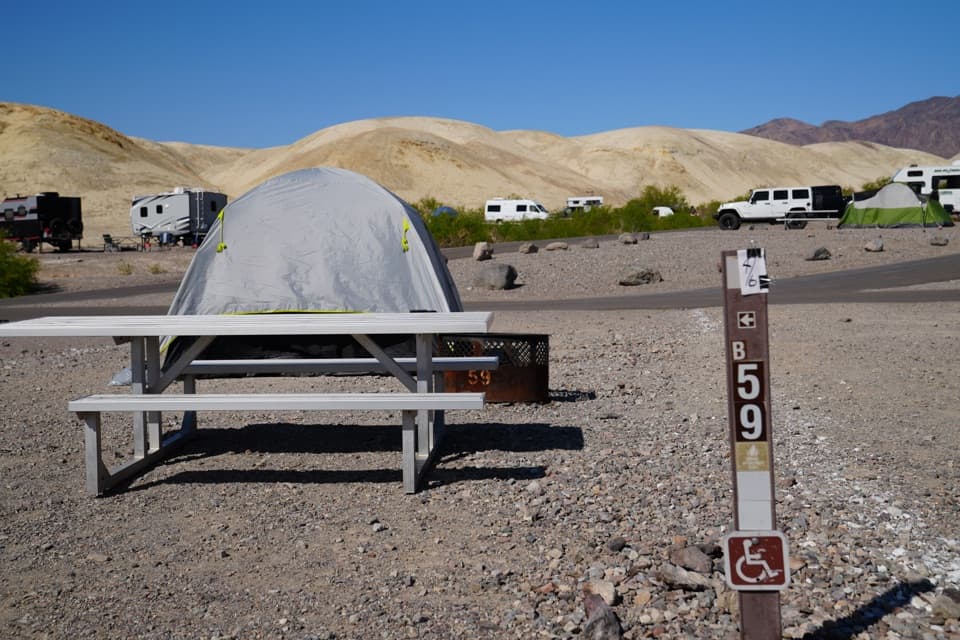 Campground · 3.6 mi awayTexas Springs CampgroundCamp above Furnace Creek for valley views and desert stargazing.
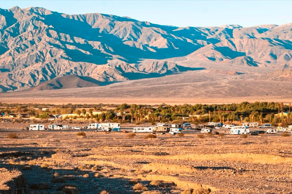 Campground · 3.8 mi awaySunset CampgroundA practical gravel base for RVs and Furnace Creek park days.
 Restaurant · 3.9 mi awayThe Last Kind Words SaloonA two-level saloon dining room gives dinner a distinctly western feel.
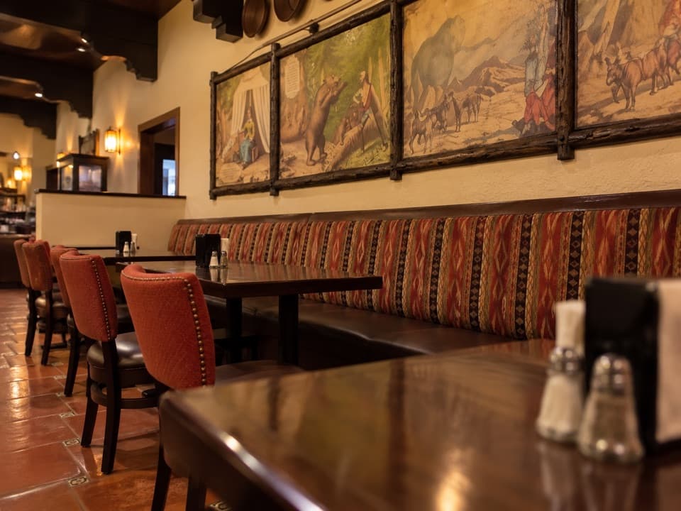 Restaurant · 3.9 mi away1849 RestaurantAn easy buffet stop in Furnace Creek
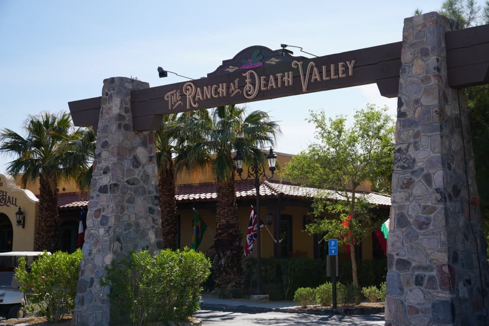 Lodging · 3.9 mi awayThe Ranch at Death ValleyA Furnace Creek resort with food, fuel, golf, and a spring-fed pool.
Parkwolf’s Death Valley ranking

The audio tour guide for the drive, plus offline maps, trails, and wildlife heatmaps for when the signal drops.


