Little Hebe Crater Loop in Death Valley National Park

Death Valley National Park, CA · NV

Little Hebe Crater Loop

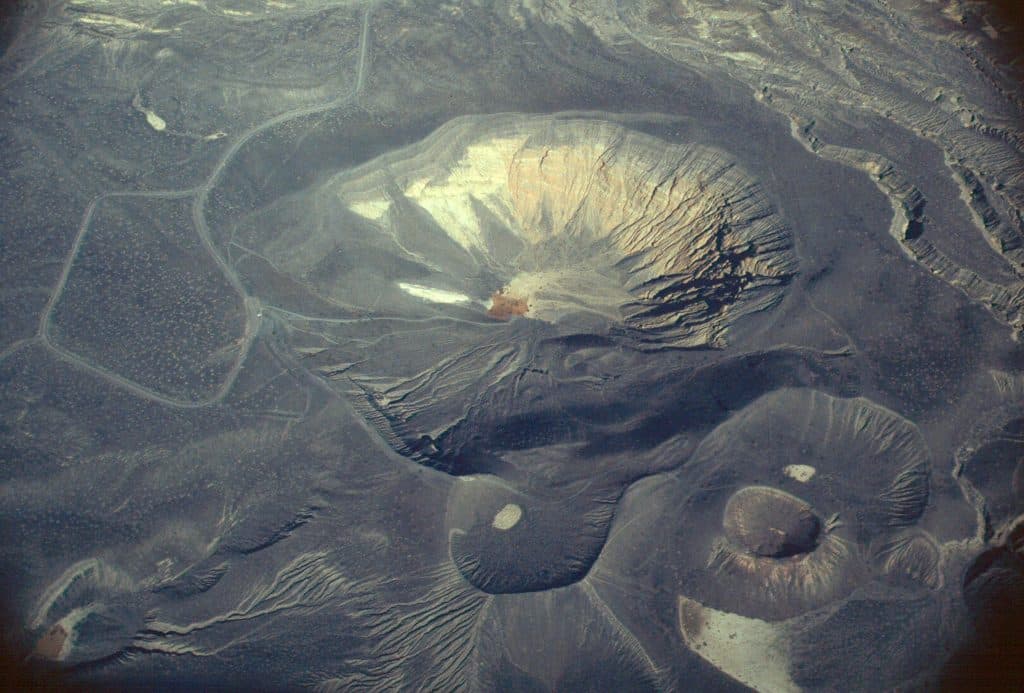
Moderate exposed crater-rim loop linking Ubehebe Crater with views of Little Hebe

Photo: National Park Service
Length
2.1mi
Time
1.2hr
Elev. change
502ft
Difficulty
Moderate
  • Loop
  • No dogs
  • High point 2,844 ft

Hear the audio tour

A Walk Around Ubehebe Crater's Rim

Overview

About Little Hebe Crater Loop

This moderate crater-rim loop starts at the Ubehebe Crater parking area and links the dramatic Ubehebe rim with views of Little Hebe and the surrounding volcanic field. The corrected full loop is about 2.1 miles, with repeated climbs and descents over loose volcanic terrain.

Why go

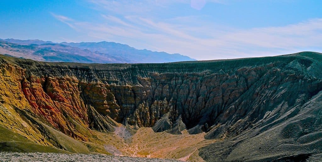
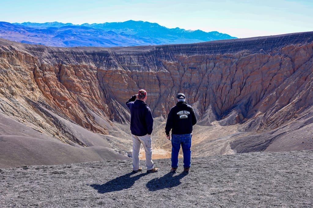
  • Wide views into Ubehebe Crater and the Little Hebe volcanic field
  • Short, high-reward loop with exceptional geology and rim scenery

Heads up

  • Loose volcanic gravel and exposed crater edges require careful footing
  • No shade, frequent wind, and intense desert sun
  • Remote northern Death Valley access and no on-site restrooms

Map & elevation

The route

Loading the Death Valley map
Full map
Elevation2,343–2,844 ft
TrailheadUbehebe Crater parking area37.01089, -117.45494
Keep this map with you offline in the Parkwolf app

Plan your hike

Before you go

Parking

Use the paved Ubehebe Crater parking area along Racetrack Valley Road, directly overlooking the crater; the lot accommodates buses and large RVs. There are no restrooms at the site; the nearest are at the Grapevine Ranger Station about 5 miles east.

Safety

Fully exposed route with loose volcanic gravel, frequent strong winds, and steep crater edges. Stay well back from drop-offs and supervise children. Carry water and sun protection, avoid the hottest part of the day, and do not take pets onto the trail—even when carried.

3 active Death Valley alerts

  • ClosurePark roads closed or hazardousPlan around multiple closed roads and use extra caution on damaged routes. - Paved roads: North Highway and Beatty Cut-off are closed due to flooding and debris from the October 22 storm.Official details
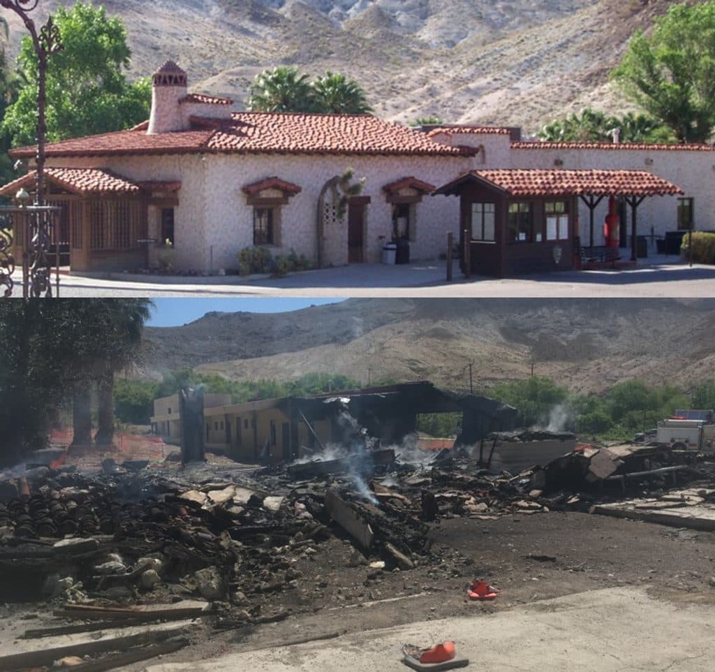
  • ClosureSaline Valley Lower Springs closed after wildfireLower Springs at Saline Valley Warm Springs remains closed after the September 15 wildfire; stay out because the fire left safety hazards, including potential hazardous chemicals.Official details
See all 3 alerts
A park ranger sits on a dash-mounted phone, talking, as Parkwolf’s Tour Guide plays “Army Cutworm Moths: A Grizzly Bear Buffet” on Grand Loop Road below Dunraven Pass in Yellowstone
Parkwolf Tour GuideThe highest, rockiest slopes around here are a summer buffet for grizzly bears.

Death Valley Tour Guide

Your drive to Little Hebe Crater Loop, narrated.

Parkwolf is a GPS audio tour guide for Death Valley National Park. As you drive, it chimes in with what’s ahead: hidden gems, upcoming stops, history, geology, and wildlife, right through your car’s speakers.

See the Death Valley audio tour

Recorded for this trailhead

A Walk Around Ubehebe Crater's Rim
Listen
“You're arriving at the Ubehebe Crater parking area, which is also the trailhead for the walk around the rim.”

Plays as you drive up to this trailhead in the Parkwolf Death Valley Tour Guide.

More stories near here in the app

  • Ubehebe Crater Volcanic Explosion
  • Hidden Rivers of Grapevine Canyon
  • Mesquite Spring Campground: A Cooler Alternative
  • 130 audio storiesacross Death Valley’s roads, triggered by GPS as you drive
  • Wildlife heatmapsfor Bighorn Sheep, Desert Tortoise, Coyote, and 13 more
  • Works offlinemaps, 36 trails, 114 places, and audio download before you lose signal
  • CarPlay readysimple controls built for the drive
★★★★★
“Fantastic app with many points of information… It’s great to just turn on while you’re driving and it gives you an audio tour of the national Park. We love it!!!!”
JMJamesApp Store review
Download Parkwolf on the App StoreGet Parkwolf on Google Play

4.7 from 8,600+ ratings

Trail guide

Hiking Little Hebe Crater Loop

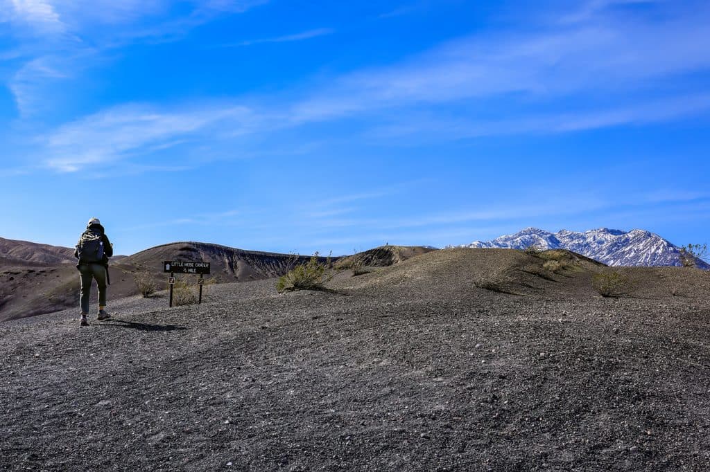
RouteFrom the signed parking-area trailhead, follow the rim route south and around Ubehebe Crater.

From the signed parking-area trailhead, follow the rim route south and around Ubehebe Crater. The route passes the smaller crater field and the Little Hebe connection before continuing around the main crater and returning to the parking area. This is a true loop: the stored line follows the complete closed visitor circuit rather than duplicating a return leg.

What You’ll SeeExpect broad views into Ubehebe Crater, layered volcanic walls, Little Hebe and other small…

Expect broad views into Ubehebe Crater, layered volcanic walls, Little Hebe and other small maars, and the stark desert landscape of northern Death Valley. The exposed rim offers changing views throughout the loop.

PlanningThe paved lot directly overlooks Ubehebe Crater and accommodates buses and large RVs, but there…

The paved lot directly overlooks Ubehebe Crater and accommodates buses and large RVs, but there are no restrooms at the site; the nearest restrooms are at the Grapevine Ranger Station about 5 miles east. This route is in the Death Valley Wilderness area, and pets are not allowed on trails, even when carried.

SafetyThe route is fully exposed with no shade, frequent wind, loose volcanic gravel, and steep…

The route is fully exposed with no shade, frequent wind, loose volcanic gravel, and steep crater edges. Stay back from drop-offs, watch children closely, wear secure footwear, carry water and sun protection, and avoid the hottest part of the day. Do not descend into a crater unless you have separately assessed the loose, steep terrain and return climb.

Wildlife

Wildlife in Death Valley

All Death Valley wildlife maps

Sighting maps show where each species has been reported across Death Valley. Wildlife moves, so no sighting is guaranteed.

Parkwolf’s Death Valley ranking

Top-rated trails in Death Valley

All 36 trails
  1. 1Badwater Basin Salt FlatsEasy · 1.9 mi
  2. 2Zabriskie Point Overlook TrailEasy · 0.3 mi
  3. 3Mesquite Flat Sand DunesEasy · 2 mi
  4. 4Telescope PeakChallenging · 12.5 mi
  5. 5Titus Canyon NarrowsEasy · 3 mi
  6. 6Mosaic CanyonModerate · 4 mi

Take Parkwolf to Death Valley.

The audio tour guide for the drive, plus offline maps, trails, and wildlife heatmaps for when the signal drops.

4.7 from 8,600+ ratings

Download Parkwolf on the App StoreGet Parkwolf on Google Play