Parking
Paved Ubehebe Crater parking area directly overlooking the crater; the lot is large enough for buses and large RVs. There are no restrooms at the crater; the nearest are at the unstaffed Grapevine Ranger Station 5 miles east.
Death Valley National Park, CA · NV
Moderate crater-rim loop with panoramic Ubehebe views
Overview
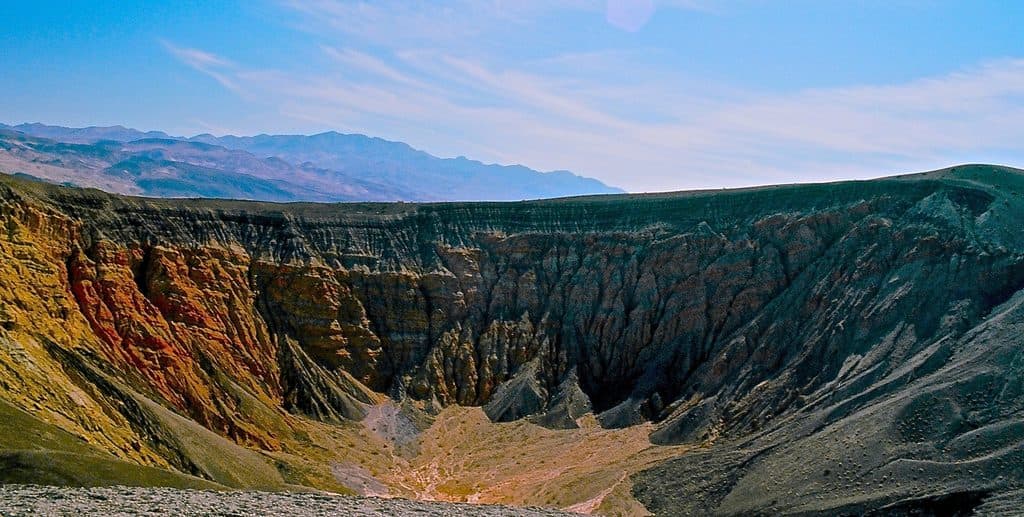
The Ubehebe Rim Hike is a 1.5-mile loop along the rim of Ubehebe Crater in northern Death Valley National Park. The official loop takes about 1 hour, is rated moderate, and gains about 500 feet (152 m). It begins at the paved parking area overlooking the crater and circles the rim for broad views into the volcanic maar and across the surrounding Ubehebe volcanic field.
Map & elevation
Plan your hike

The highest, rockiest slopes around here are a summer buffet for grizzly bears.
Death Valley Tour Guide
Parkwolf is a GPS audio tour guide for Death Valley National Park. As you drive, it chimes in with what’s ahead: hidden gems, upcoming stops, history, geology, and wildlife, right through your car’s speakers.
See the Death Valley audio tourRecorded for this trailhead
Ubehebe Crater Volcanic Explosion“The landscape here is about to change dramatically as you near Ubehebe Crater. This isn't a canyon, but a massive hole in the ground, half a mile wide and over 500 feet deep.”
Plays as you drive up to this trailhead in the Parkwolf Death Valley Tour Guide.
More stories near here in the app
“Fantastic app with many points of information… It’s great to just turn on while you’re driving and it gives you an audio tour of the national Park. We love it!!!!”


Trail guide
The trail is an official loop, often hiked counter-clockwise with an uphill start. Expect loose volcanic cinders and gravel, short climbs and descents, and exposed edges above steep crater slopes. Little Hebe Crater comes into view after about 0.5 mile, but this record is the Ubehebe rim loop; the separate Little Hebe and crater-bottom paths are not part of the stored route.
The paved lot is 8 miles west of Scotty's Castle and is large enough for buses and large RVs. There are no restrooms at the crater; the nearest are at the unstaffed Grapevine Ranger Station 5 miles east. Bring water and sun and wind protection: the rim is exposed and has no shade. Pets are not allowed on Death Valley trails, even when carried.
Stay back from unstable crater edges and use care on loose footing. The descent into the crater is a separate, steep route and is not included here; climbing back out through ankle-deep debris can be difficult. Avoid hot-weather hiking, especially during the hottest part of the day.
Wildlife
 71 sightingsBighorn SheepMost seen around 6 PMSighting map
 101 sightingsDesert TortoiseMost seen around 8 AMSighting map
 458 sightingsCoyoteMost seen around 6 PMSighting map
 28 sightingsFeral BurroMost seen around 5 PMSighting map
 30 sightingsMule DeerMost seen around 7 PMSighting map
 62 sightingsKit FoxMost seen around 7 PMSighting map
Sighting maps show where each species has been reported across Death Valley. Wildlife moves, so no sighting is guaranteed.
Keep exploring
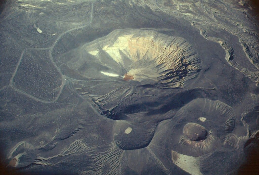 ModerateLittle Hebe Crater Loop2.1 mi · 1.2 hr · At the trailheadModerate exposed crater-rim loop linking Ubehebe Crater with views of Little Hebe
 ModerateEureka Dunes3.5 mi · 1.8 hr · 14.3 mi awayA remote cross-country circuit over California’s tallest dunes
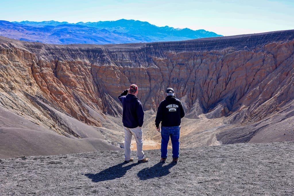 Sight · 0.2 mi awayUbehebe CraterWind‑scoured volcanic bowl with a stellar rim loop and views
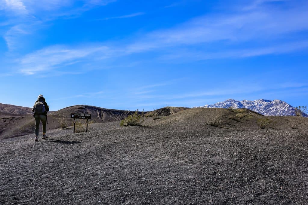 Sight · 0.5 mi awayLittle Hebe CraterA youthful mini-maar beside Ubehebe with big views
 Campground · 5.8 mi awayMesquite Spring CampgroundQuiet, higher-elevation campground with water, flush toilets, and sunsets
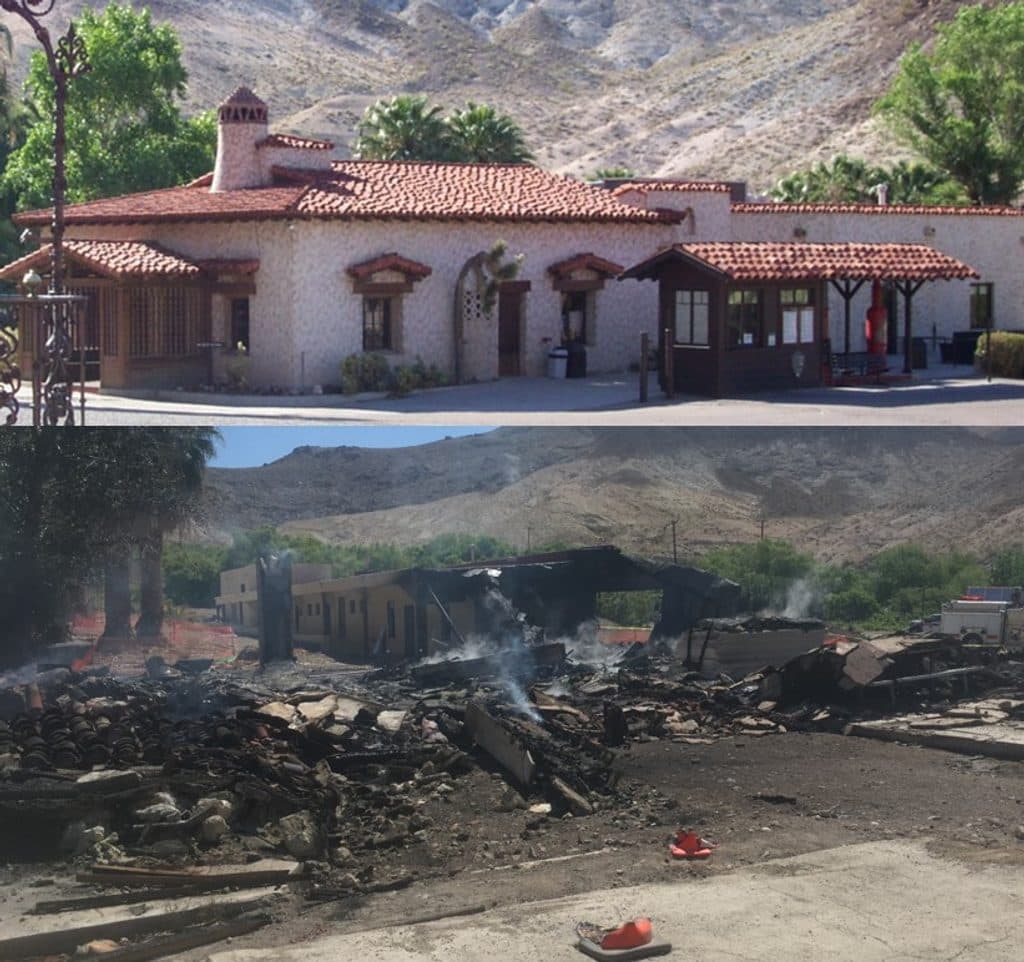 Visitor center · 6.4 mi awayScotty's Castle Visitor Center (Temporarily Closed)Historic desert mansion hub, great tours when open
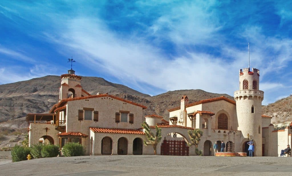 Sight · 6.4 mi awayScotty's Castle (Death Valley Ranch)A lush desert oasis wrapped around a legendary 1920s mansion
 Sight · 8.6 mi awayMarble BathA hidden bathtub of blue marbles on a remote desert pass
Parkwolf’s Death Valley ranking

The audio tour guide for the drive, plus offline maps, trails, and wildlife heatmaps for when the signal drops.