Place · 2.9 mi away

Sugar Loaf Mountain rises directly above the park entrance corridor, a rounded summit that looks like its namesake loaf set against the Alaska Range. It stands just outside the main entrance area, making it a convenient half‑day objective with big‑country views without committing to an all‑day backcountry push.
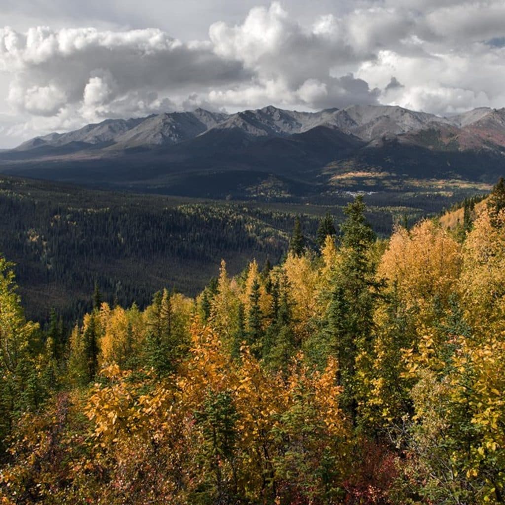
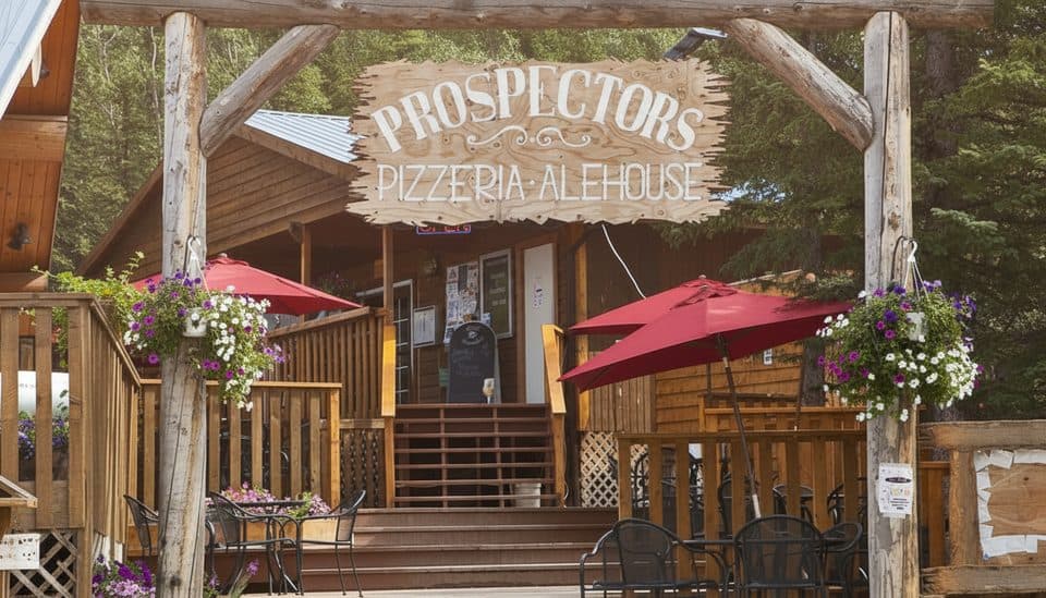
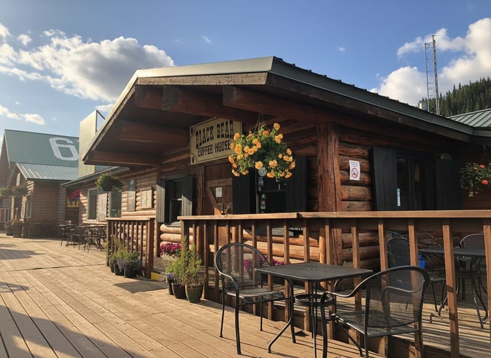
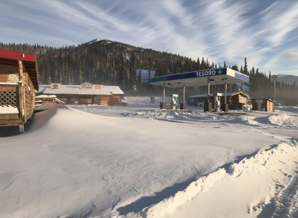
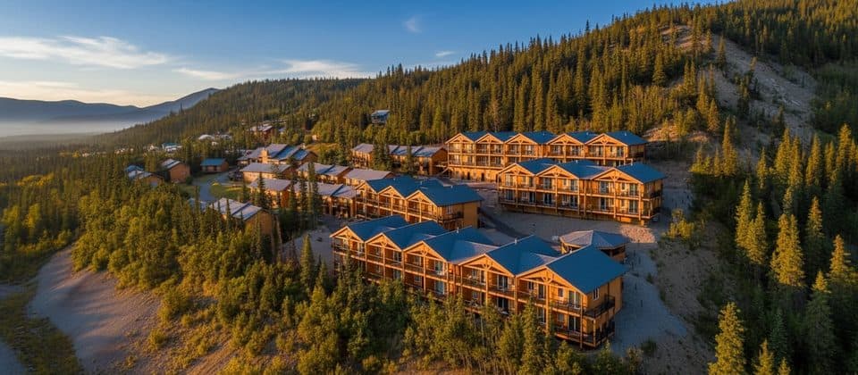
From the ridge and summit you get a bird’s‑eye look at the Nenana River Gorge, the George Parks Highway and rail corridor, and the cluster of hotels and shops locals call “Glitter Gulch.” On clear days, the Alaska Range lines the horizon and you may even catch Denali peeking out.
This is not a manicured park trail. Expect a steep, sustained climb with sections of loose rock and short hands‑on moves—“trail, scrambling” is the standard description. It’s straightforward for strong hikers but can feel spicy if you’re new to steep, unmaintained routes. Trekking poles help on the descent.
Most hikers start from a hotel parking lot above the highway: park at the northern end and look for a large rock cairn that marks the start. This is an informal access point—not an official trailhead—so be courteous and confirm parking guidance on site. There are no facilities at the start, and parking is limited.
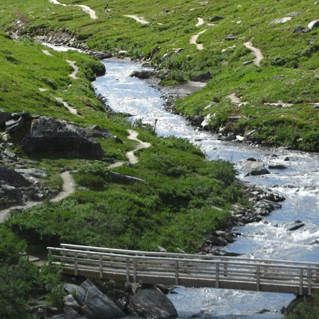
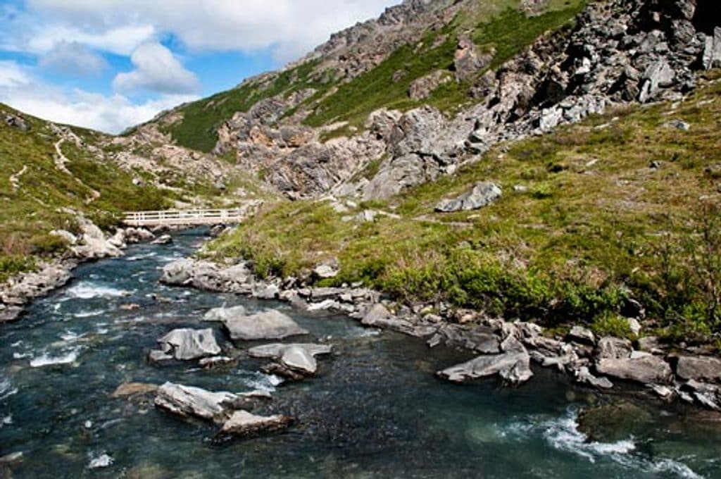
Lower slopes give way to open tundra as you gain elevation, with ever‑wider views of the river cutting through the valley and the entrance‑area development far below. The summit and ridge make excellent vantage points; if weather closes in, turning around at one of the high viewpoints still delivers the essence of the hike.
The mountain’s open ridges sometimes host Dall sheep, and you might encounter small mammals and raptors riding the thermals. As always in this region, carry bear spray and know how to use it. Summer brings wildflowers; autumn lights up the tundra with color. Weather shifts fast—layers are essential year‑round.

Sugar Loaf sits on the outer foothills of the Alaska Range, shaped by a mix of glacial carving and river erosion. Its rounded profile contrasts with the sharper interior peaks, which is exactly how it earned its “sugar loaf” moniker.
There’s no water on route and no restrooms at the start. Start early for the best chance at clear views and to avoid afternoon winds or showers. Navigation is mostly obvious but not signed—download a map or track and keep an eye out for the main path on steeper sections.