Overview
About Gwydir Forest Park
Why stop
- Lakes, forest, and mining ruins keep the scenery varied
Heads up
- Many routes are steep, rough, and muddy after rain
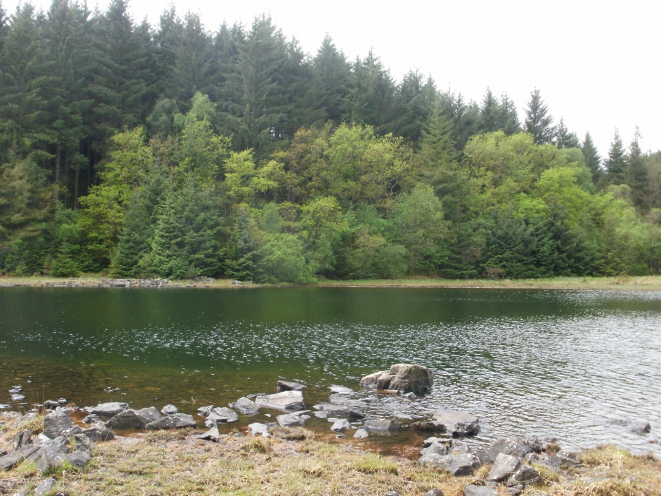
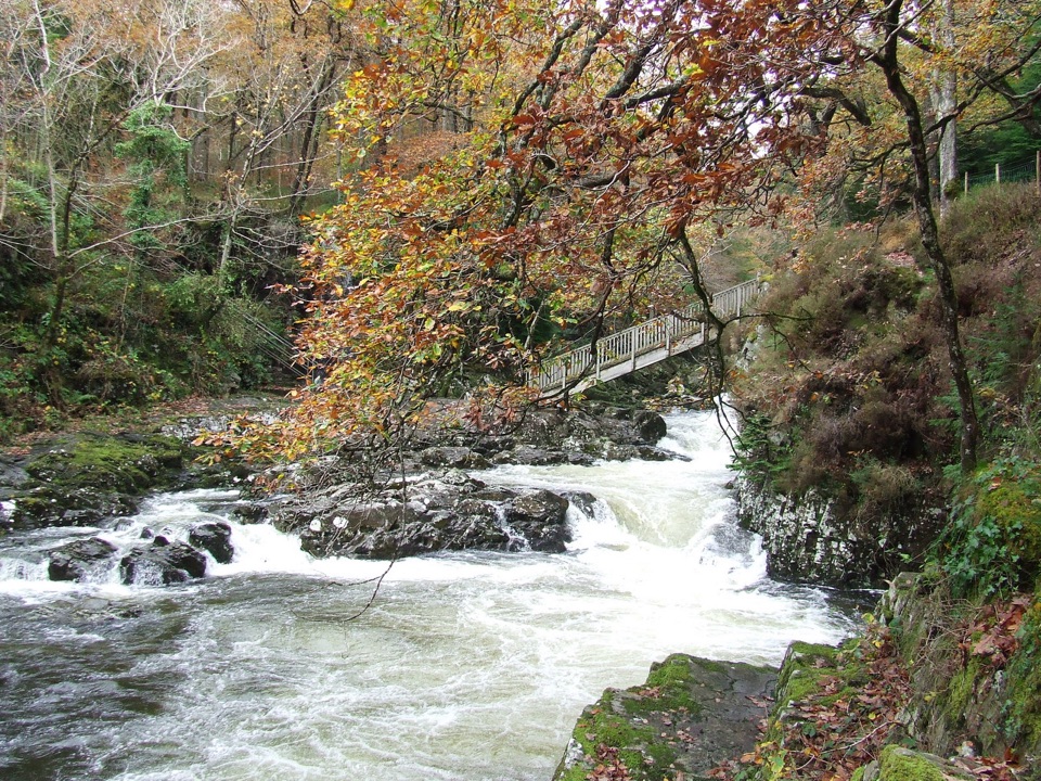
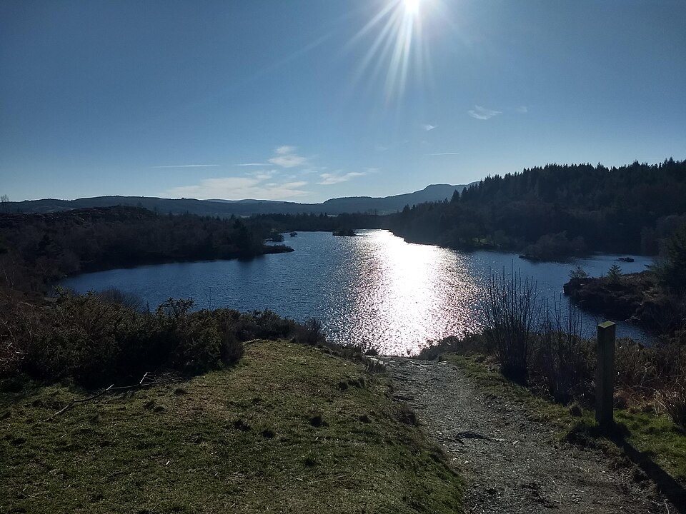
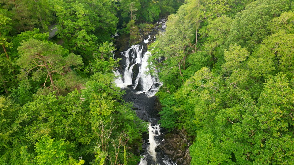
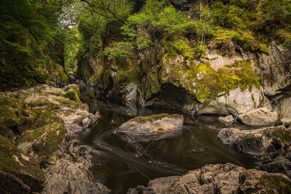
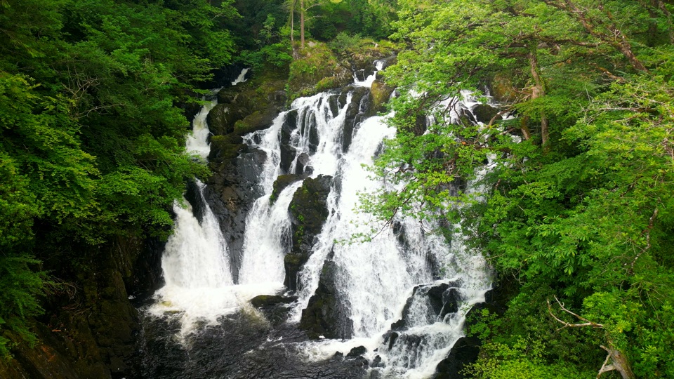
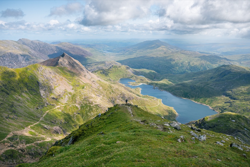
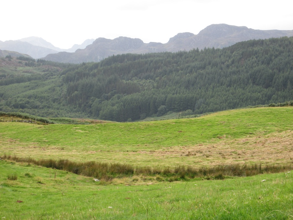
Gwydir Forest Park is a whole network of woodland, lakes, rough hills and old mine workings wrapped around Betws-y-Coed. It is worth choosing when you want more than a quick viewpoint: the scenery changes from tall Douglas firs and the Afon Llugwy to open slopes, quiet reservoirs and mining remains, often within the same walk.
 Parkwolf’s verdictWhy stop
Map
Where it is

The highest, rockiest slopes around here are a summer buffet for grizzly bears.
Eryri Tour Guide
Your drive to Gwydir Forest Park, narrated.
Parkwolf is a GPS audio tour guide for Eryri National Park. As you drive, it chimes in with what’s ahead: hidden gems, upcoming stops, history, geology, and wildlife, right through your car’s speakers.
Recorded for this place
Betws-y-Coed and Pont-y-Pair“You're coming up on Betws-y-Coed, a village where bridges cross the Llugwy under wooded hills. I'd start at Pont-y-Pair, the Bridge of the Cauldron, where the rapids are especially lively after rain.”
Plays as you drive up to Gwydir Forest Park in the Parkwolf Eryri Tour Guide.
More stories near here in the app
- The Village of Painters
- Slate Out, Visitors In
- The Crossing to the Mines
- What the Waterfall Paid For
- 298 audio storiesacross Eryri’s roads, triggered by GPS as you drive
- Wildlife heatmapsfor Grey Heron, Tawny Owl, Common Raven, and 9 more
- Works offlinemaps, 120 trails, 82 places, and audio download before you lose signal
- CarPlay readysimple controls built for the drive
“Fantastic app with many points of information… It’s great to just turn on while you’re driving and it gives you an audio tour of the national Park. We love it!!!!”


Guide
More about Gwydir Forest Park
Walks and things to seeThe most useful short option is the Coed Tan Dinas Walk, an easy 0.
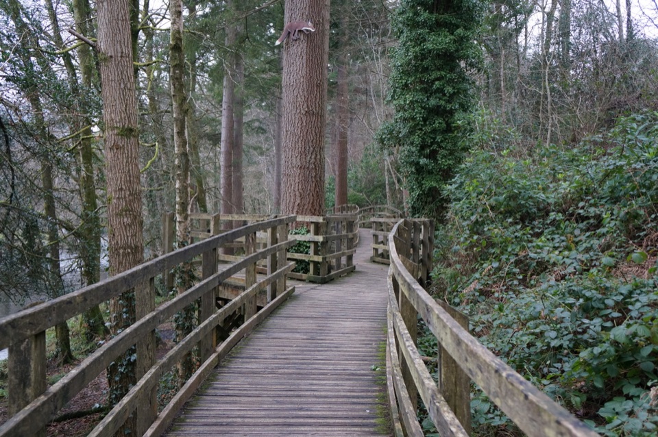
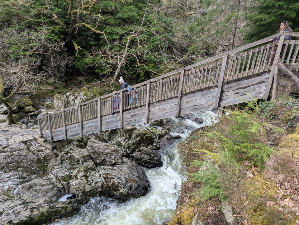
The most useful short option is the Coed Tan Dinas Walk, an easy 0.7-mile loop on a broad boardwalk beneath tall Douglas firs, with a riverside picnic area. The Afon Llugwy Riverside Walk is a moderate 1.5 miles and mixes boardwalk, grass track, woodland path and river views, but its narrower sections can be muddy, rocky and rooty.
For a bigger outing, choose between two strenuous lake walks. Llyn Parc is 4.3 miles with about 331 metres of climbing, a high viewpoint, a natural lake and a descent through the Aberllyn gorge past mine entrances and ruins. Llyn Elsi is 3.9 miles with about 318 metres of climbing, rising steeply from the village to a peaceful reservoir ringed by forest. There is also a permanent orienteering course near the village and a wide choice of mountain-bike trails from the forest car parks.
PracticalitiesFor the main NRW waymarked walks, use Pont y Pair car park in Betws-y-Coed as the starting…
For the main NRW waymarked walks, use Pont y Pair car park in Betws-y-Coed as the starting point. The Llyn Elsi route starts behind St Mary’s Church instead. Other access points, including Ty’n Llwyn, Hafna, Llyn Crafnant, Llyn Geirionydd, Llyn Sarnau and Sawbench, lead to different corners of the park, so pick the car park that matches your intended route. Pont y Pair has public toilets, information panels and the most convenient village access, but parking becomes difficult on busy weekends.
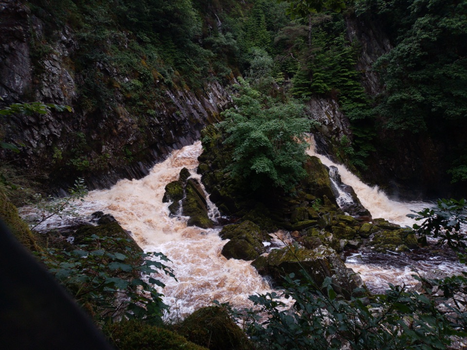
Go on a weekday morning for quieter paths and a better chance of finding space. Autumn brings especially good colour; after a dry spell, the rough paths and exposed roots are easier going. Wear boots and bring waterproofs and an offline map in any season. Rain can flood sections of the riverside route, and the steeper lake walks include narrow, uneven paths, unprotected drops and old mine buildings. Stay on the waymarked trail and do not push on through floodwater.
The park is best thought of as a menu of walks rather than one single attraction. That is its strength, but it also means the experience depends heavily on the access point and route you choose.
Why stopThe park’s character comes from its industrial past.
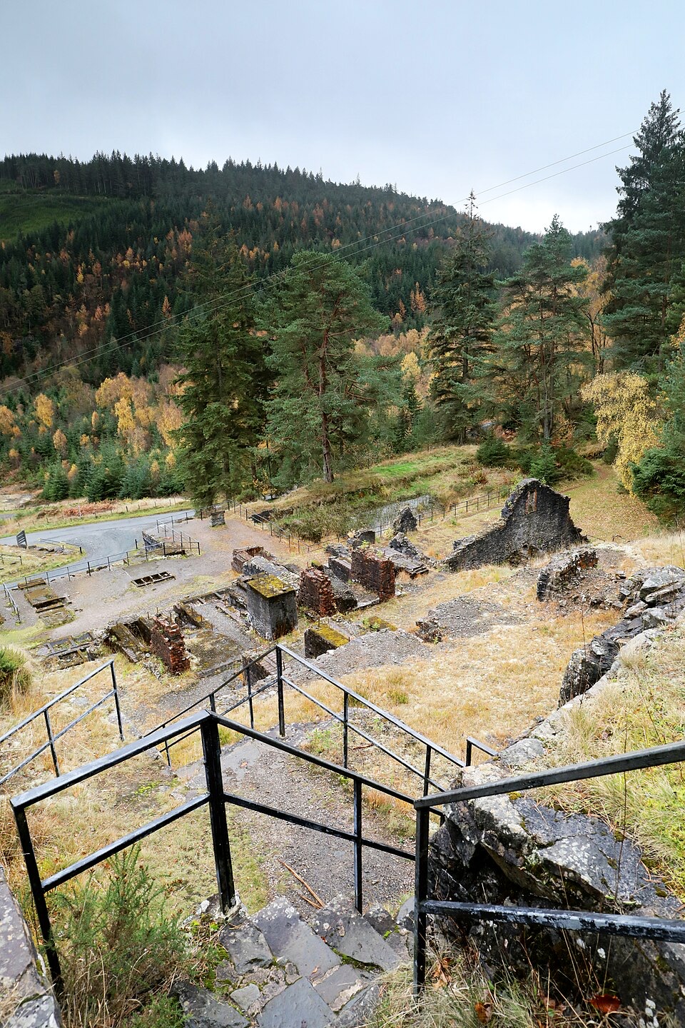
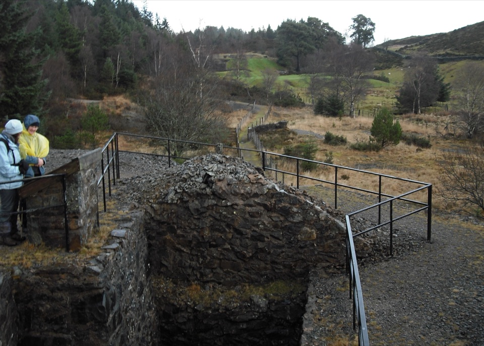
The park’s character comes from its industrial past. Lead and zinc mining shaped these hills, and engine houses, waste tips, reservoirs and partially restored mine sites still sit among the trees. The result feels more layered than a standard forest walk, especially around Llyn Parc and the Hafna mine area.
Wildlife
Wildlife in Eryri
 77 sightingsGrey HeronMost seen around 7 AMSighting map
 17 sightingsTawny OwlMost seen around 6 AMSighting map
 32 sightingsCommon RavenMost seen around 8 AMSighting map
 21 sightingsGreat Spotted WoodpeckerMost seen around 7 AMSighting map
 18 sightingsEuropean RabbitMost seen around 7 AMSighting map
 161 sightingsViviparous LizardMost seen around 10 AMSighting map
Sighting maps show where each species has been reported across Eryri. Wildlife moves, so no sighting is guaranteed.