Llyn Parc Walk in Eryri National Park

Eryri National Park, WA

Llyn Parc Walk

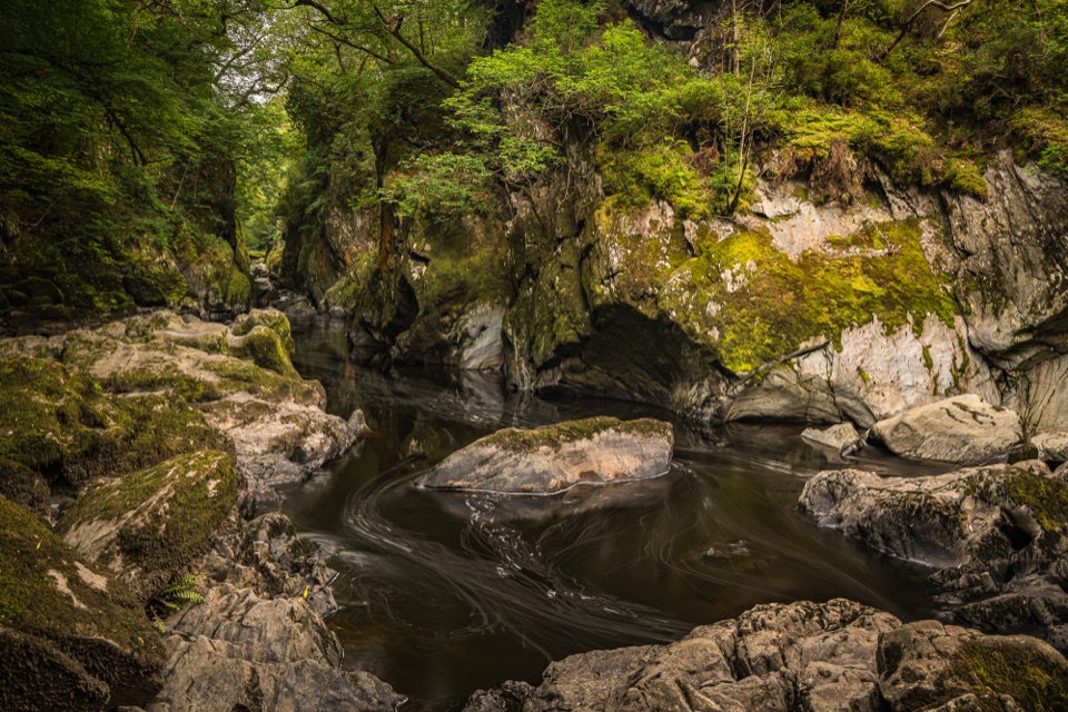
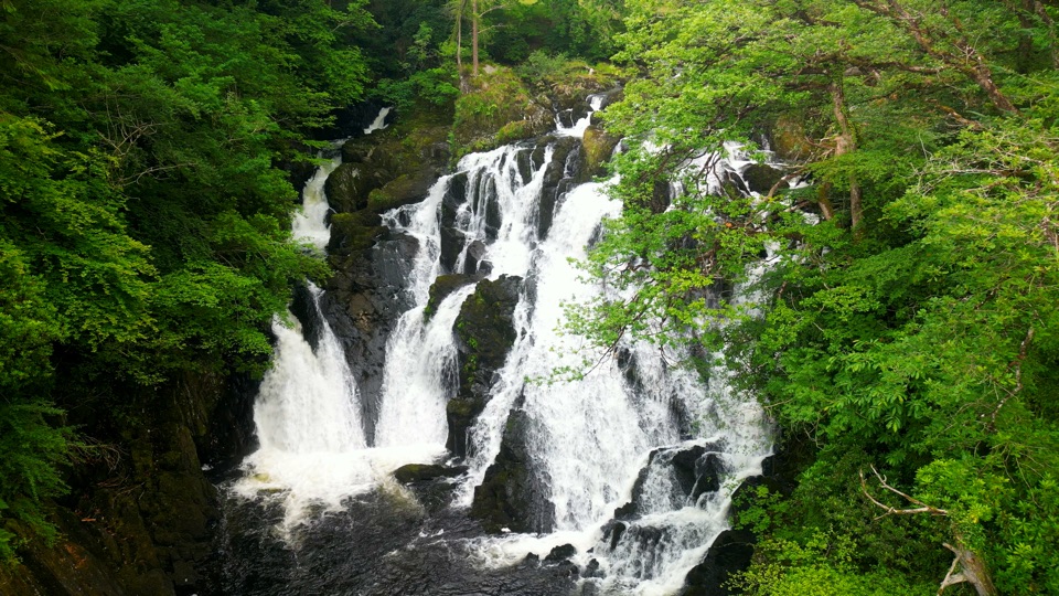
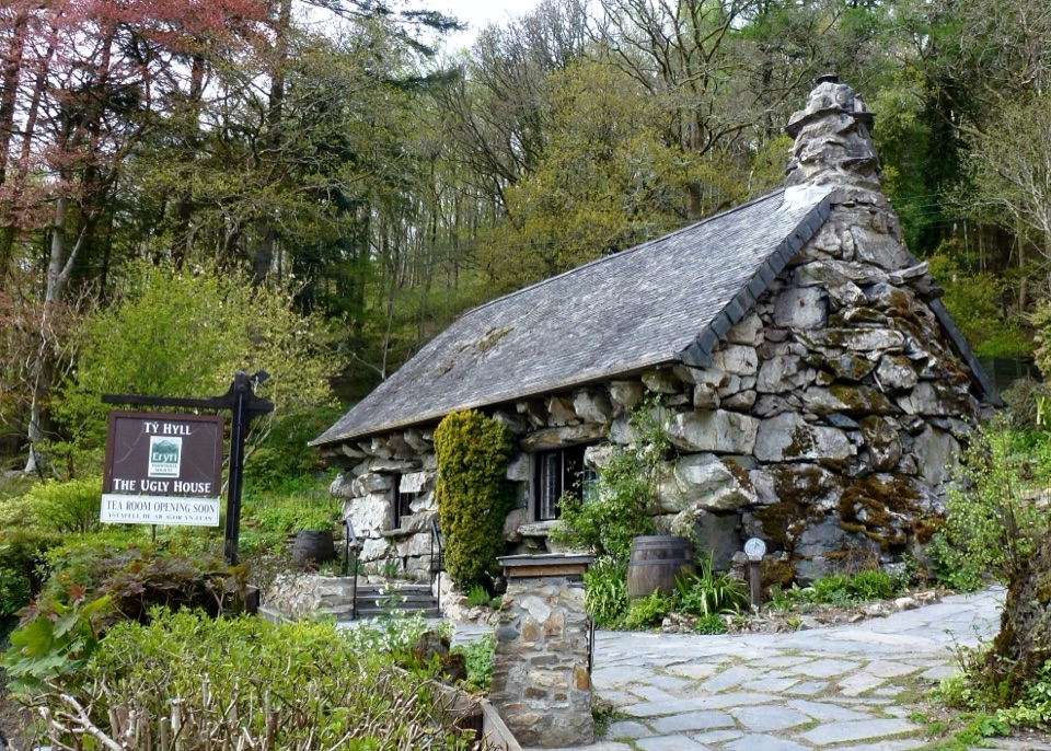
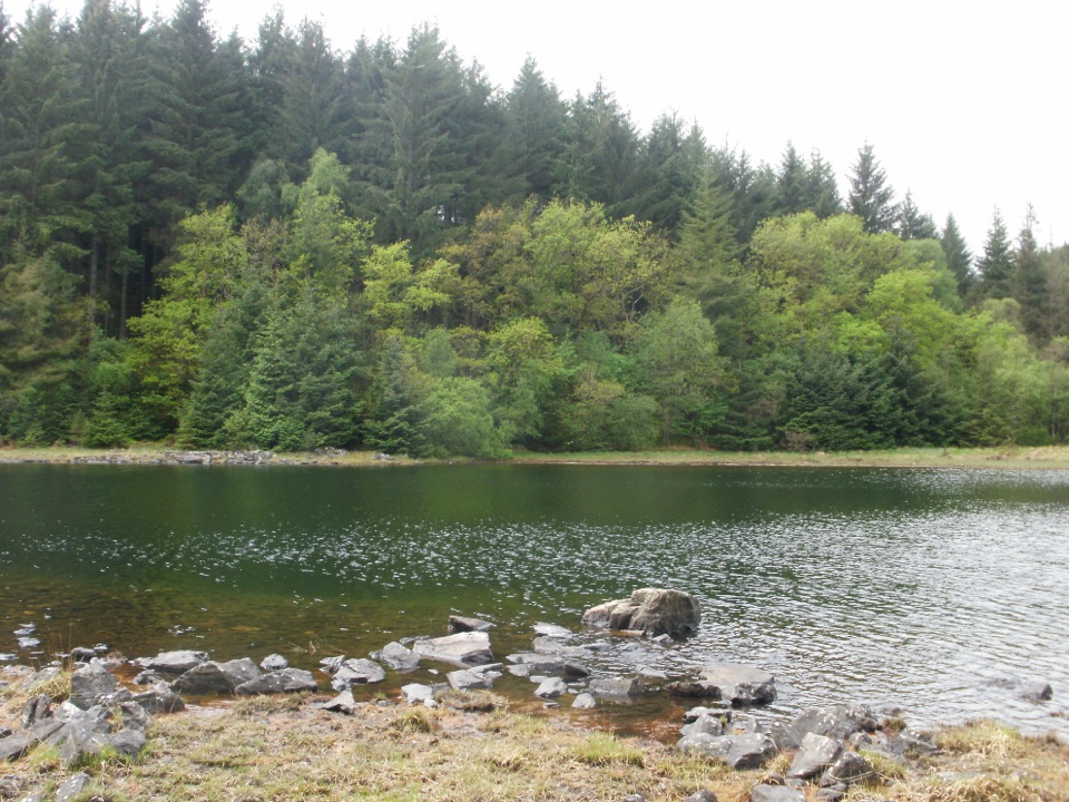
Strenuous 4.3-mile forest loop past a viewpoint, lake and mine gorge

Photo: Wikimedia Commons
Length
6.9km
Time
2.3hr
Elev. change
194m
Difficulty
Challenging
  • Loop
  • Dogs allowed
  • High point 232 m

Hear the audio tour

Betws-y-Coed and Pont-y-Pair

Overview

About Llyn Parc Walk

Why go

  • Lake and mine-gorge scenery
  • Clear waymarked loop
  • Viewpoint above the valley

Heads up

  • Strenuous sustained climb
  • Narrow rough footing
  • Unprotected drops

Map & elevation

The route

Loading the Eryri map
Full map
Elevation38–232 m
TrailheadPont y Pair Car Park53.09435, -3.80622
Keep this map with you offline in the Parkwolf app

Plan your hike

Before you go

Parking

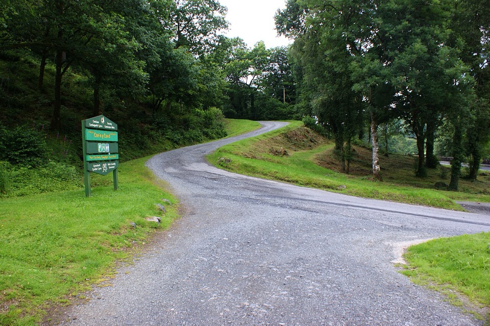
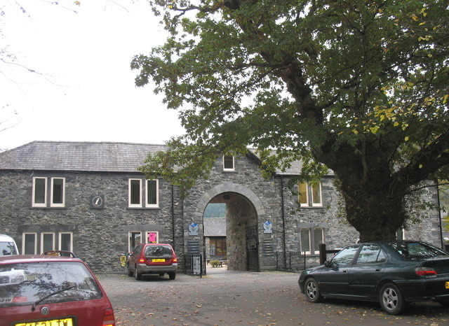
Start at the Pont y Pair pay-and-display car park and toilets in Betws-y-Coed. Approach via the B5106, cross the stone bridge, turn left, then reach the car park after about 50 metres. Parking is charged. Use grid reference SH 791 567 because postcode LL24 0BL covers a wide area.


Safety

There are unprotected drops near parts of the route, plus old mine buildings and entrances in the gorge. Stay on the yellow waymarked trail, keep back from edges, and do not enter or climb on mine structures. Expect narrow, muddy, rocky and rooty sections.

A park ranger sits on a dash-mounted phone, talking, as Parkwolf’s Tour Guide plays “Army Cutworm Moths: A Grizzly Bear Buffet” on Grand Loop Road below Dunraven Pass in Yellowstone
Parkwolf Tour GuideThe highest, rockiest slopes around here are a summer buffet for grizzly bears.

Eryri Tour Guide

Your drive to Llyn Parc Walk, narrated.

Parkwolf is a GPS audio tour guide for Eryri National Park. As you drive, it chimes in with what’s ahead: hidden gems, upcoming stops, history, geology, and wildlife, right through your car’s speakers.

Recorded for this trailhead

Betws-y-Coed and Pont-y-Pair
0:00 / 0:31
“You're coming up on Betws-y-Coed, a village where bridges cross the Llugwy under wooded hills. I'd start at Pont-y-Pair, the Bridge of the Cauldron, where the rapids are especially lively after rain.”

Plays as you drive up to this trailhead in the Parkwolf Eryri Tour Guide.

More stories near here in the app

  • The Village of Painters
  • Slate Out, Visitors In
  • The Crossing to the Mines
  • What the Waterfall Paid For
  • 298 audio storiesacross Eryri’s roads, triggered by GPS as you drive
  • Wildlife heatmapsfor Grey Heron, Tawny Owl, Common Raven, and 9 more
  • Works offlinemaps, 120 trails, 82 places, and audio download before you lose signal
  • CarPlay readysimple controls built for the drive
★★★★★
“Fantastic app with many points of information… It’s great to just turn on while you’re driving and it gives you an audio tour of the national Park. We love it!!!!”
JMJamesApp Store review
Download Parkwolf on the App StoreGet Parkwolf on Google Play

4.7 from 8,600+ ratings

Trail guide

Hiking Llyn Parc Walk

Route OverviewThis is a closed-loop walk of 4.3 miles (6.9 km) that typically takes 1.

This is a closed-loop walk of 4.3 miles (6.9 km) that typically takes 1.5 to 3 hours to complete, returning to the same point where it begins. It is graded strenuous, with a total climb of 1,086 feet (331 metres).

Following the RouteStart at the Pont y Pair welcome panel and follow the yellow waymarkers up the steep forest…

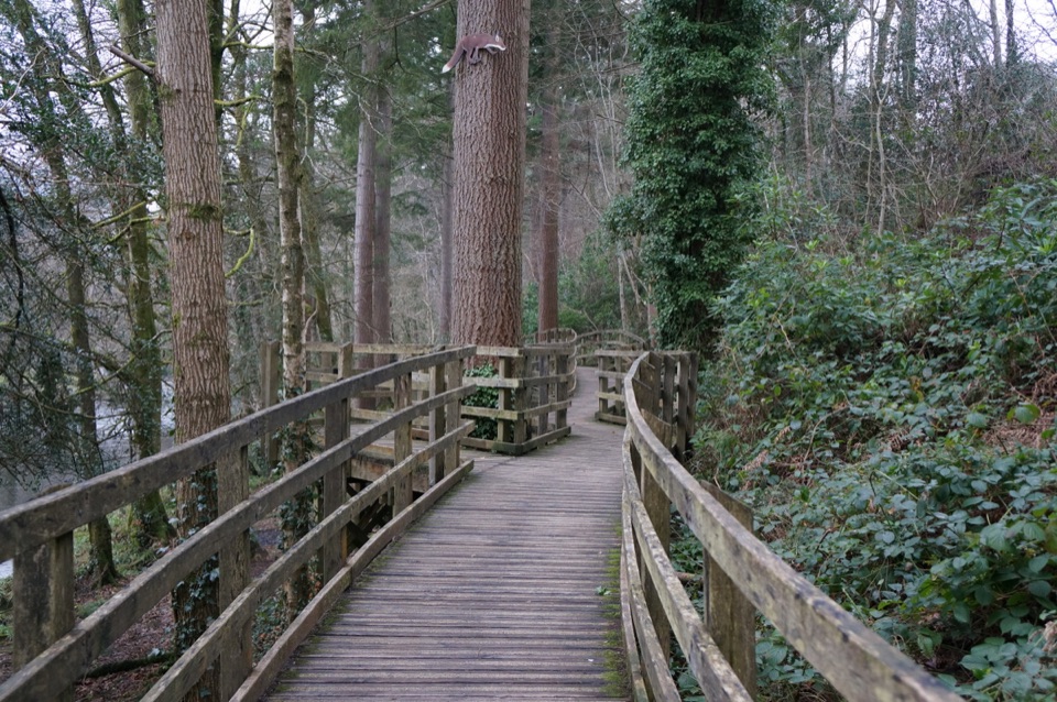
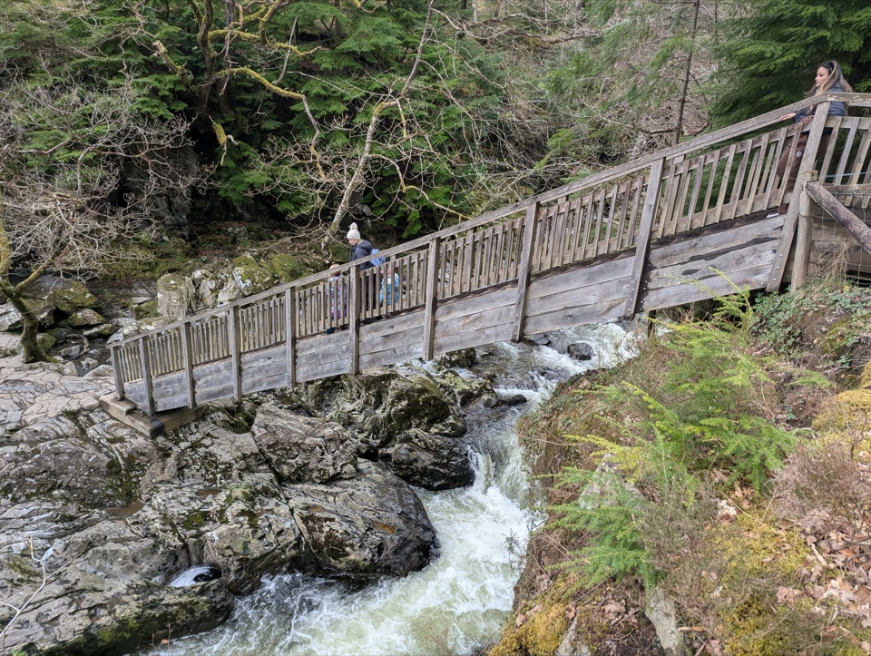
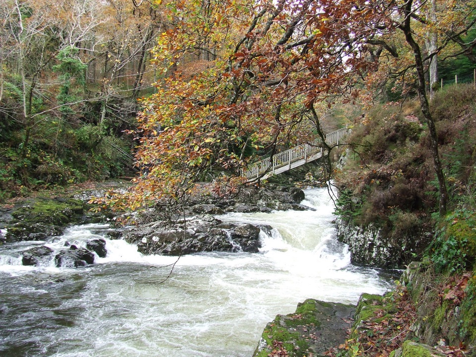
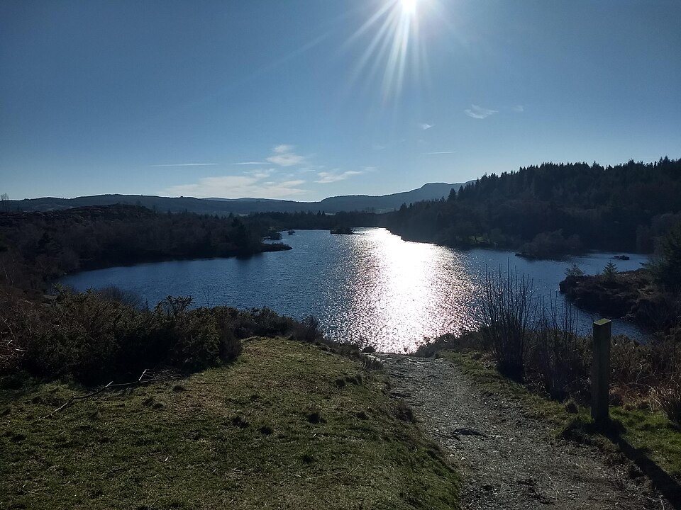
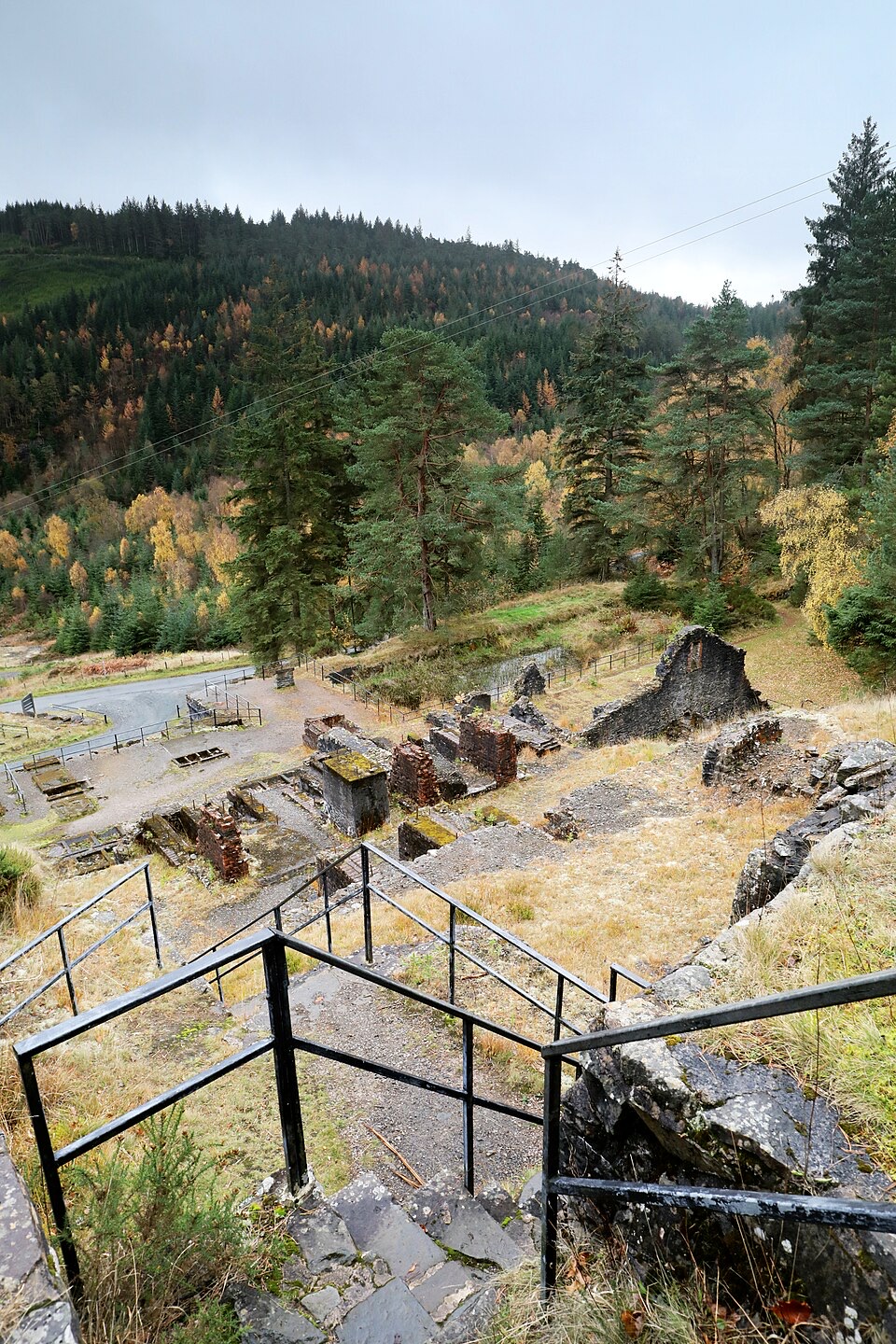
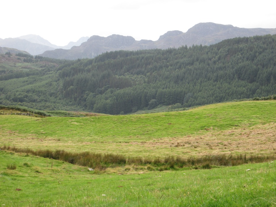
Start at the Pont y Pair welcome panel and follow the yellow waymarkers up the steep forest hillside to the cliff-top valley viewpoint. Continue on to Llyn Parc, then descend through the Aberllyn gorge, passing mine entrances and ruined mine structures before returning to the start.

Terrain and DifficultyExpect narrow, rough paths with muddy and rooty footing in places, along with sustained steep…

Expect narrow, rough paths with muddy and rooty footing in places, along with sustained steep sections of ascent and descent. Sturdy footwear and a reasonable level of fitness are advisable, and the walk will take longer in wet conditions.

Safety NotesThere are unprotected drops along parts of the route, particularly near the cliff-top viewpoint…

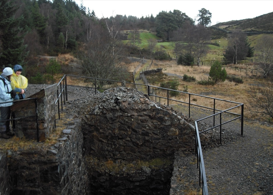
There are unprotected drops along parts of the route, particularly near the cliff-top viewpoint and in the gorge, so keep well back from edges and supervise children closely. Do not enter or climb on the old mine buildings and structures, and stay clear of mine entrances.

Parking and DogsParking is available at Pont y Pair, where charges apply.

Parking is available at Pont y Pair, where charges apply. Dogs are welcome but must be kept under close control at all times, and on a lead where livestock, wildlife or steep drops make this necessary.

Easier AlternativeIf the climb, exposure or distance are unsuitable, the Afon Llugwy Riverside Walk offers a…

If the climb, exposure or distance are unsuitable, the Afon Llugwy Riverside Walk offers a gentler option from the same area with far less ascent.

Wildlife

Wildlife in Eryri

All Eryri wildlife maps

Sighting maps show where each species has been reported across Eryri. Wildlife moves, so no sighting is guaranteed.

Keep exploring

Near Llyn Parc Walk

See it all on the map

Trails that start nearby

Places near the trailhead

Parkwolf’s Eryri ranking

Top-rated trails in Eryri

All 120 trails
  1. 1Yr Wyddfa Pyg Track and Miners’ Track LoopChallenging · 12.1 km
  2. 2Llanberis PathChallenging · 14.5 km
  3. 3Pyg TrackChallenging · 11 km
  4. 4Miners’ TrackChallenging · 12.9 km
  5. 5Cwm Idwal WalkModerate · 4.8 km
  6. 6Watkin PathChallenging · 12.9 km

Take Parkwolf to Eryri.

The audio tour guide for the drive, plus offline maps, trails, and wildlife heatmaps for when the signal drops.

4.7 from 8,600+ ratings

Download Parkwolf on the App StoreGet Parkwolf on Google Play