Parking
Informal roadside lay-by at OS grid reference SH 772 588. Parking is free; overnight parking is not permitted.
Eryri National Park, WA
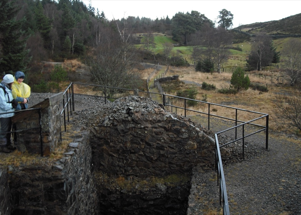
Peer into a covered lead-mine shaft on a half-kilometre heritage loop
Overview
The highlight comes at the far end, where the marked trail passes over a covered mine shaft and you can look down between your feet into the dark while staying on the path. The whole walk keeps you close to the surviving structures of a working lead mine in a short distance.
 Parkwolf’s verdictThe payoff
Map & elevation
Plan your hike

The highest, rockiest slopes around here are a summer buffet for grizzly bears.
Eryri Tour Guide
Parkwolf is a GPS audio tour guide for Eryri National Park. As you drive, it chimes in with what’s ahead: hidden gems, upcoming stops, history, geology, and wildlife, right through your car’s speakers.
Recorded for this trailhead
Gwydir Forest Lakes Walk“You're approaching Llyn Sarnau, the start of Gwydir Forest's Forest Lakes Walk.”
Plays as you drive up to this trailhead in the Parkwolf Eryri Tour Guide.
More stories near here in the app
“Fantastic app with many points of information… It’s great to just turn on while you’re driving and it gives you an audio tour of the national Park. We love it!!!!”


Trail guide
This is a waymarked out-and-back loop of 0.5 km (about 0.3 miles), measured as the complete there-and-back route, with an official time of 20 minutes and roughly 14 m of climb. It is a compact industrial-heritage walk around restored lead-mine workings, not a longer hike, so plan it as a stop rather than a day out.
Start at the roadside lay-by at grid reference SH 772 588, where the mapped path begins about 20 m away. Follow the red waymarker symbols as the trail curves and drops gently through the old mine site, passing machine houses, wheel pits and shafts, then continues to the western shaft at the far point before you return along the same corridor to the lay-by. Interpretation panels along the way explain what you are looking at.
The grade is Moderate despite the short distance. The path is generally level but narrow, roughly 50 cm to 1 m wide, surfaced in natural rough stone, with several short flights of steps linking the old buildings, wheel pits and shafts. Footwear with grip helps, and the steps and narrow sections need care.
Parking is informal roadside space at the SH 772 588 lay-by and is free. Overnight parking is not permitted. There is no formal car park or visitor building here, so come prepared. The site sits a short drive southwest of Llanrwst.
Dogs are allowed and should be kept under control, on public rights of way in particular. A lead is sensible throughout on this trail because of the drops, shafts, steps and the narrow path shared with other visitors, and a lead is required near livestock or wildlife. On open-access land a lead no longer than 2 m is required from 1 March to 31 July.
You get a lot of mining history in a very small distance, but almost no walking mileage and a rougher, more hazardous surface than the length suggests. If you want a longer outing, treat this as a short add-on rather than the main walk.
Wildlife
 77 sightingsGrey HeronMost seen around 7 AMSighting map
 17 sightingsTawny OwlMost seen around 6 AMSighting map
 32 sightingsCommon RavenMost seen around 8 AMSighting map
 21 sightingsGreat Spotted WoodpeckerMost seen around 7 AMSighting map
 18 sightingsEuropean RabbitMost seen around 7 AMSighting map
 161 sightingsViviparous LizardMost seen around 10 AMSighting map
Sighting maps show where each species has been reported across Eryri. Wildlife moves, so no sighting is guaranteed.
Keep exploring
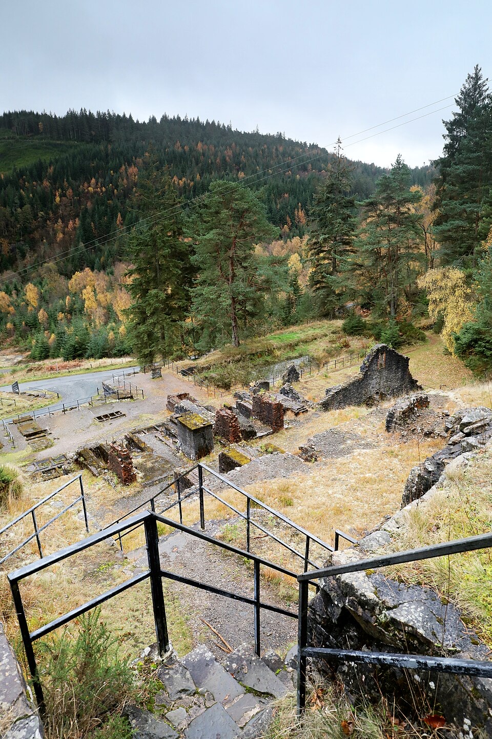 ModerateForest Lakes Walk4.2 km · 1.5 hr · 0.6 km awayThree upland reservoirs, a lead mine and a cliff-edge view above Llanrwst
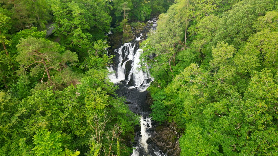 ChallengingSwallow Falls Walk3.5 km · 2 hr · 0.9 km awaySteep woodland loop to a waterfall viewpoint and Moel Siabod panoramas
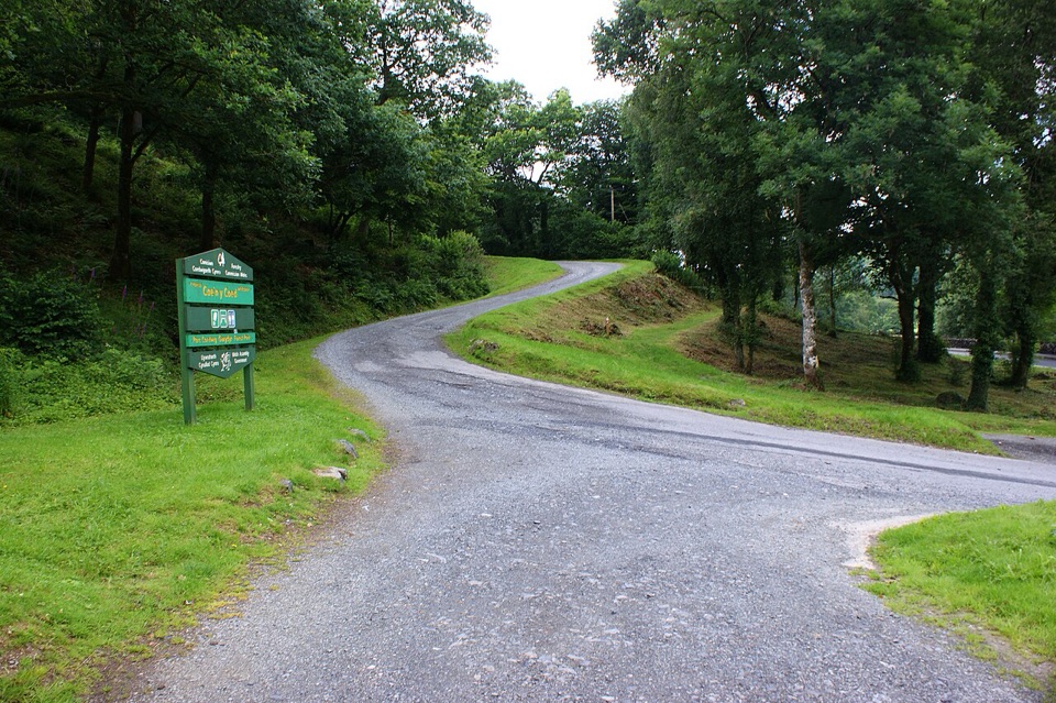 ChallengingCraig-Forris Walk3.3 km · 1.8 hr · 1.7 km awayShort, steep loop through an old arboretum to a mountain panorama
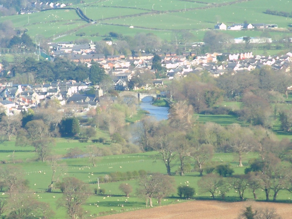 ModerateLady Mary’s Walk2.1 km · 1 hr · 2.7 km awayForest loop past a Tudor bowling green to Conwy Valley views
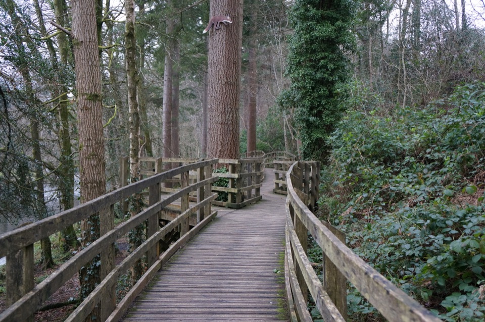 EasyCoed Tan Dinas Walk1.1 km · 30 min · 2.9 km awayRiver boardwalk, tall Douglas firs, picnic spot, all in 30 minutes
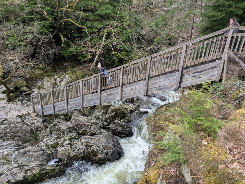 ModerateAfon Llugwy Riverside Walk2.4 km · 1.3 hr · 2.9 km awayRiverside loop through tall Douglas firs to the historic Miners' Bridge
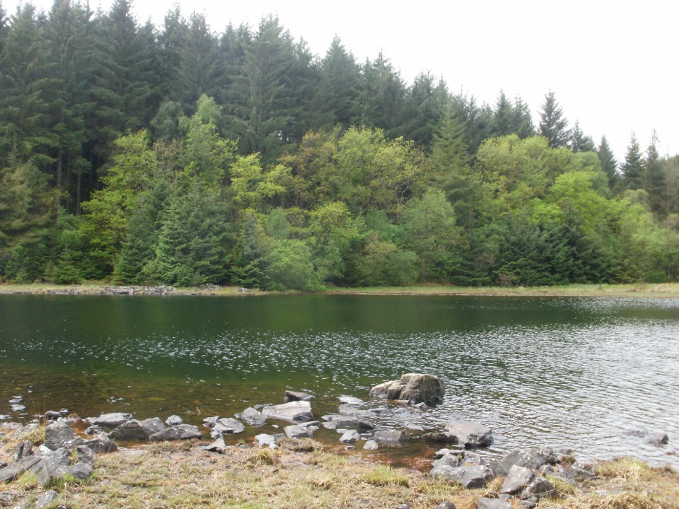 ChallengingLlyn Parc Walk6.9 km · 2.3 hr · 2.9 km awayStrenuous 4.3-mile forest loop past a viewpoint, lake and mine gorge
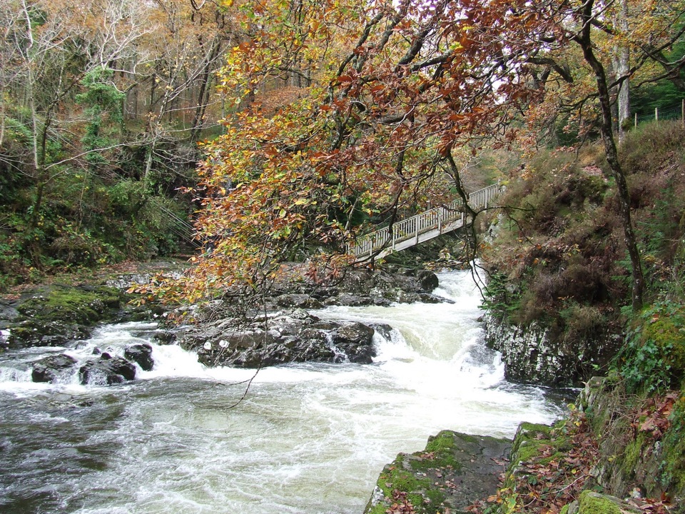 EasyBetws-y-coed Bridges3.6 km · 45 min · 3.1 km awayTwo river bridges, riverside woods and a village loop in 45 minutes
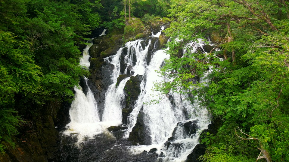 Sight · 1.3 km awaySwallow Falls (Rhaeadr Ewynnol)Foaming cascades plunge through a limestone gorge beside the A5
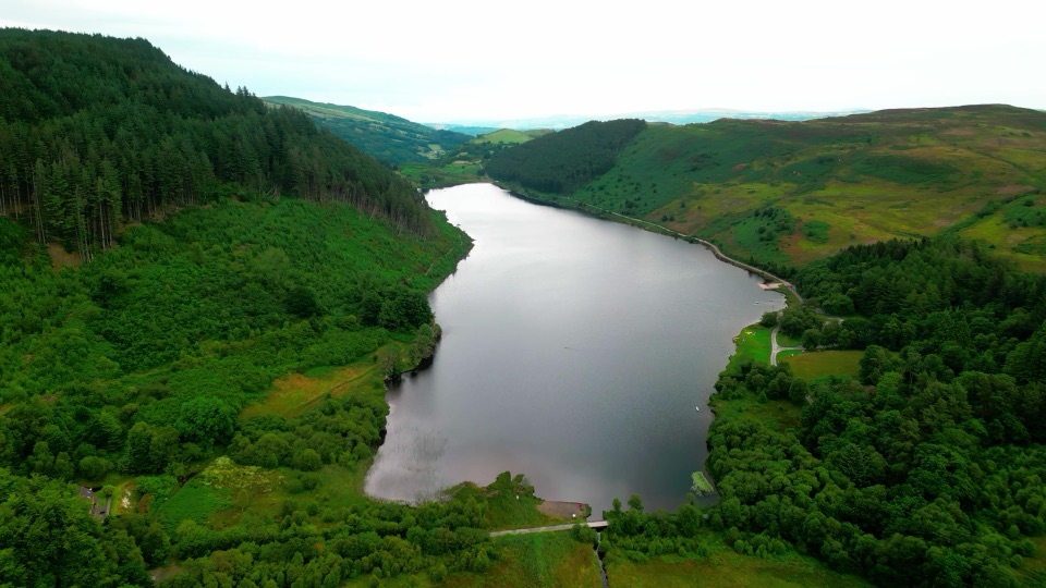 Sight · 1.8 km awayLlyn GeirionyddA forest-framed lake with a poet's monument and mountain views
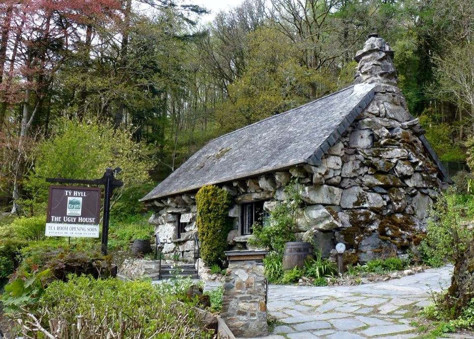 Sight · 2.1 km awayTŷ Hyll (The Ugly House)A storybook stone cottage with a surprisingly lovely pollinator garden
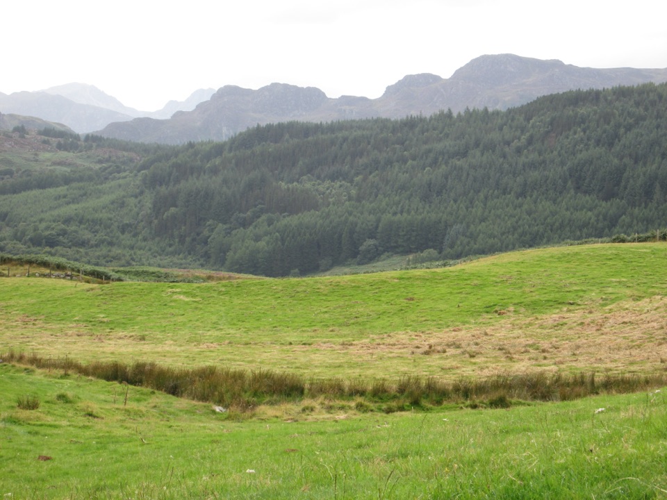 Sight · 2.9 km awayGwydir Forest ParkWoodland lakes, old mines, and big views around Betws-y-Coed
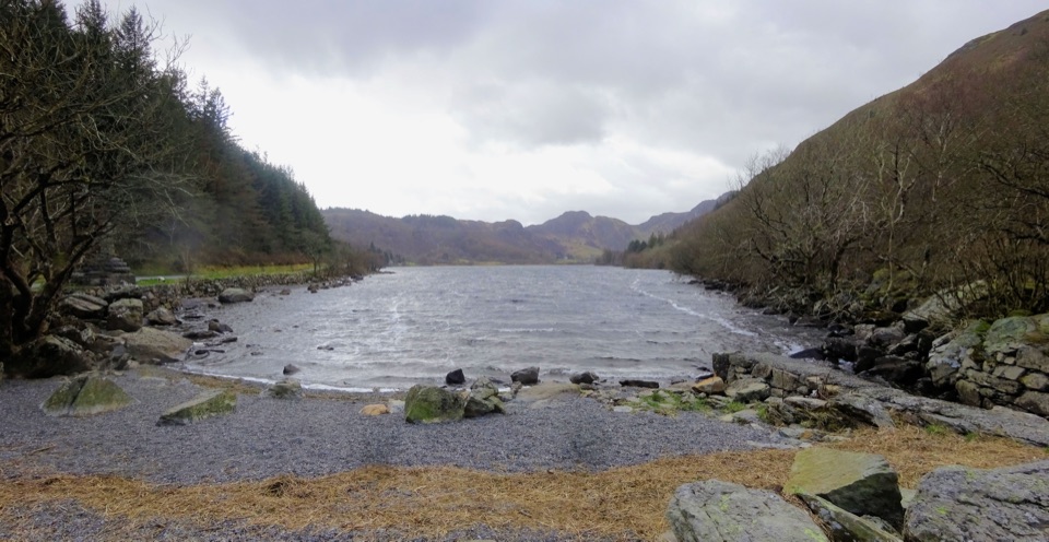 Sight · 3.1 km awayLlyn CrafnantA forest-ringed reservoir with easy lake walks and mountain reflections
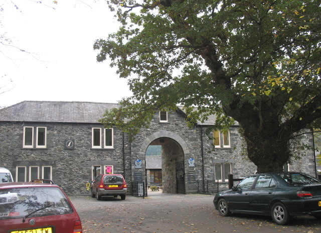 Visitor center · 3.2 km awayBetws-y-Coed Information CentreA practical base for maps, walks, and mountain-day know-how
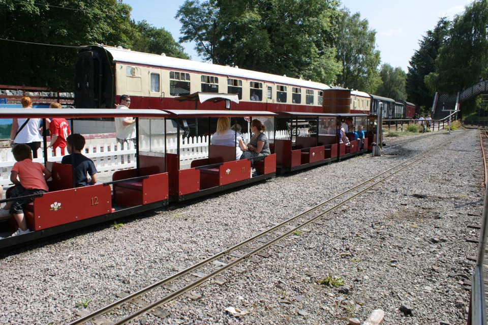 Sight · 3.3 km awayConwy Valley Railway MuseumMiniature trains and railway history beside Betws-y-Coed station
 Sight · 3.3 km awayBetws-y-CoedA forest-framed village of bridges, rivers, and Victorian character
Parkwolf’s Eryri ranking
The audio tour guide for the drive, plus offline maps, trails, and wildlife heatmaps for when the signal drops.




