Swallow Falls Walk in Eryri National Park

Eryri National Park, WA

Swallow Falls Walk

Steep woodland loop to a waterfall viewpoint and Moel Siabod panoramas

Photo: Wikimedia Commons
Length
3.5km
Time
2hr
Elev. change
136m
Difficulty
Challenging
  • Loop
  • High point 264 m
  • #42 of 120 in Eryri

Hear the audio tour

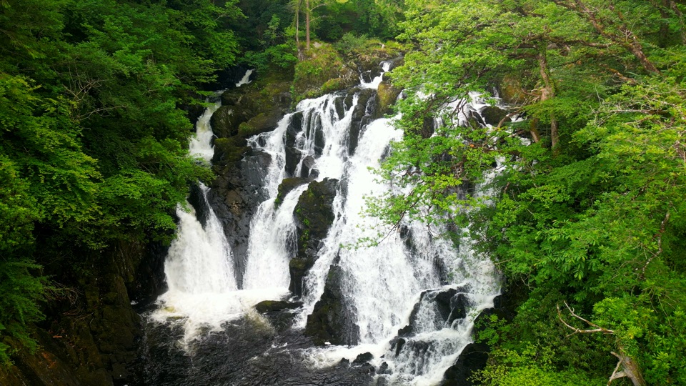
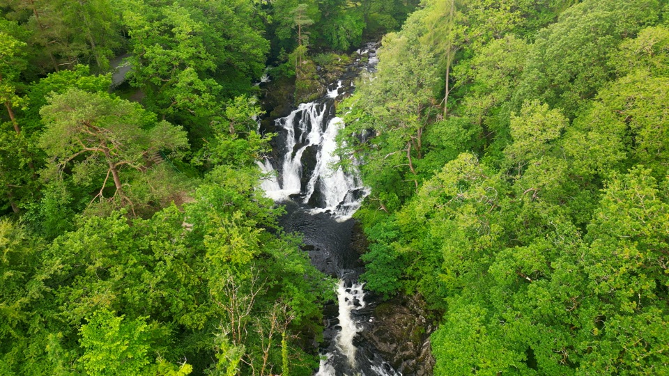
Swallow Falls

Overview

About Swallow Falls Walk

Why go

  • Swallow Falls and two distinct viewpoints
  • Waymarked loop with benches at both viewpoints

Heads up

  • Steep, narrow and rough ground with steps
  • Unprotected drops and wet, slippery footing

Map & elevation

The route

Loading the Eryri map
Full map
Elevation128–264 m
TrailheadTy'n Llwyn car park53.10793, -3.84563
Keep this map with you offline in the Parkwolf app

Plan your hike

Before you go

Parking

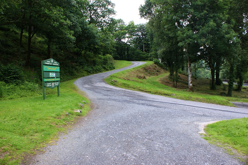
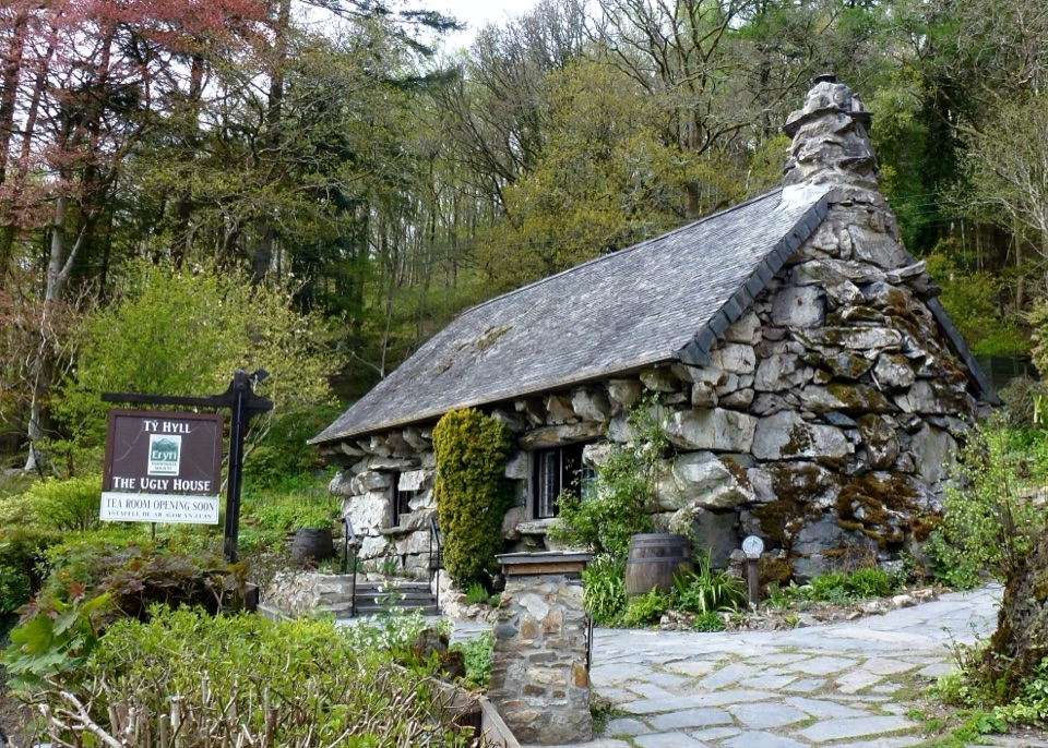
Use the small Ty'n Llwyn car park, 3.5 miles west of Betws-y-coed. From the A5 toward Capel Curig, turn onto the narrow road immediately before the Ugly House (Tŷ Hyll) and continue 1 mile to the car park. OS grid reference SH 765 583; parking is free and overnight parking is not permitted.


Safety

Stay on the yellow-waymarked trail: the loop has steep narrow sections, several flights of steps and unprotected drops beside the river. Expect mud, rocks and roots.

A park ranger sits on a dash-mounted phone, talking, as Parkwolf’s Tour Guide plays “Army Cutworm Moths: A Grizzly Bear Buffet” on Grand Loop Road below Dunraven Pass in Yellowstone
Parkwolf Tour GuideThe highest, rockiest slopes around here are a summer buffet for grizzly bears.

Eryri Tour Guide

Your drive to Swallow Falls Walk, narrated.

Parkwolf is a GPS audio tour guide for Eryri National Park. As you drive, it chimes in with what’s ahead: hidden gems, upcoming stops, history, geology, and wildlife, right through your car’s speakers.

Recorded for this trailhead

Swallow Falls
0:00 / 0:31
“You're approaching Swallow Falls, where the Llugwy tumbles through a wooded gorge just off the A5. Its Welsh name, Rhaeadr Ewynnol, means foaming waterfall, and after heavy rain you'll see why.”

Plays as you drive up to this trailhead in the Parkwolf Eryri Tour Guide.

More stories near here in the app

  • Tŷ Hyll, the Ugly House
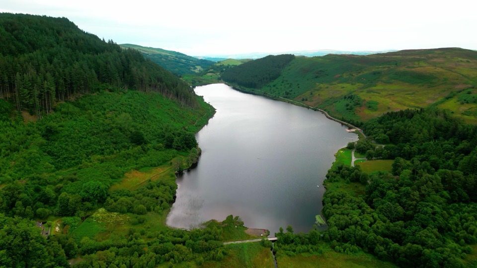
  • Gwydir Forest Lakes Walk
  • What the Waterfall Paid For
  • Four Steps in the Llugwy
  • 298 audio storiesacross Eryri’s roads, triggered by GPS as you drive
  • Wildlife heatmapsfor Grey Heron, Tawny Owl, Common Raven, and 9 more
  • Works offlinemaps, 120 trails, 82 places, and audio download before you lose signal
  • CarPlay readysimple controls built for the drive
★★★★★
“Fantastic app with many points of information… It’s great to just turn on while you’re driving and it gives you an audio tour of the national Park. We love it!!!!”
JMJamesApp Store review
Download Parkwolf on the App StoreGet Parkwolf on Google Play

4.7 from 8,600+ ratings

Trail guide

Hiking Swallow Falls Walk

The short versionA waymarked circular walk of 2.2 miles / 3.

A waymarked circular walk of 2.2 miles / 3.6 km, and that figure is the total loop distance, not a one-way leg. The walk is graded Strenuous / Anodd, with an official time of 1.5 to 2.5 hours and around 660 ft / 201 m of climbing packed into a small area. Follow the yellow waymarkers throughout.

How the route unfoldsStart and finish at the Ty'n Llwyn car park in Gwydir Forest Park.

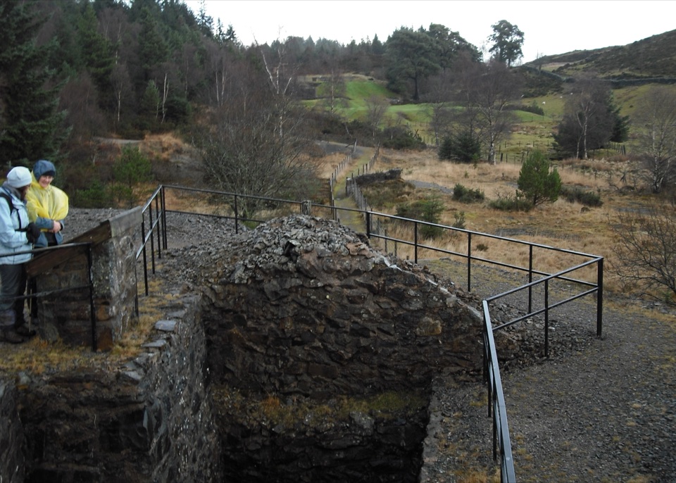
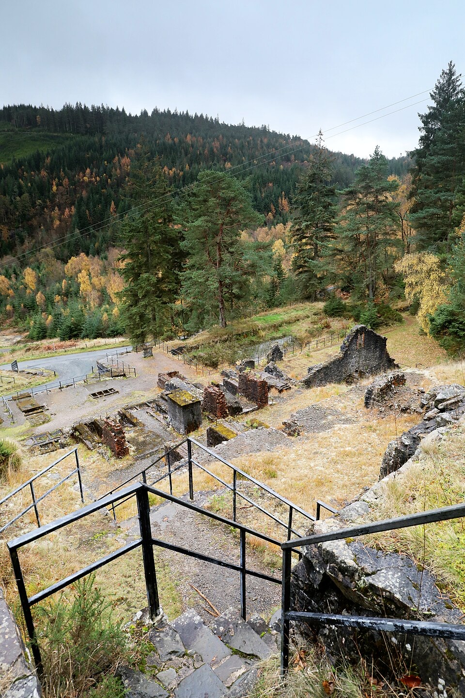
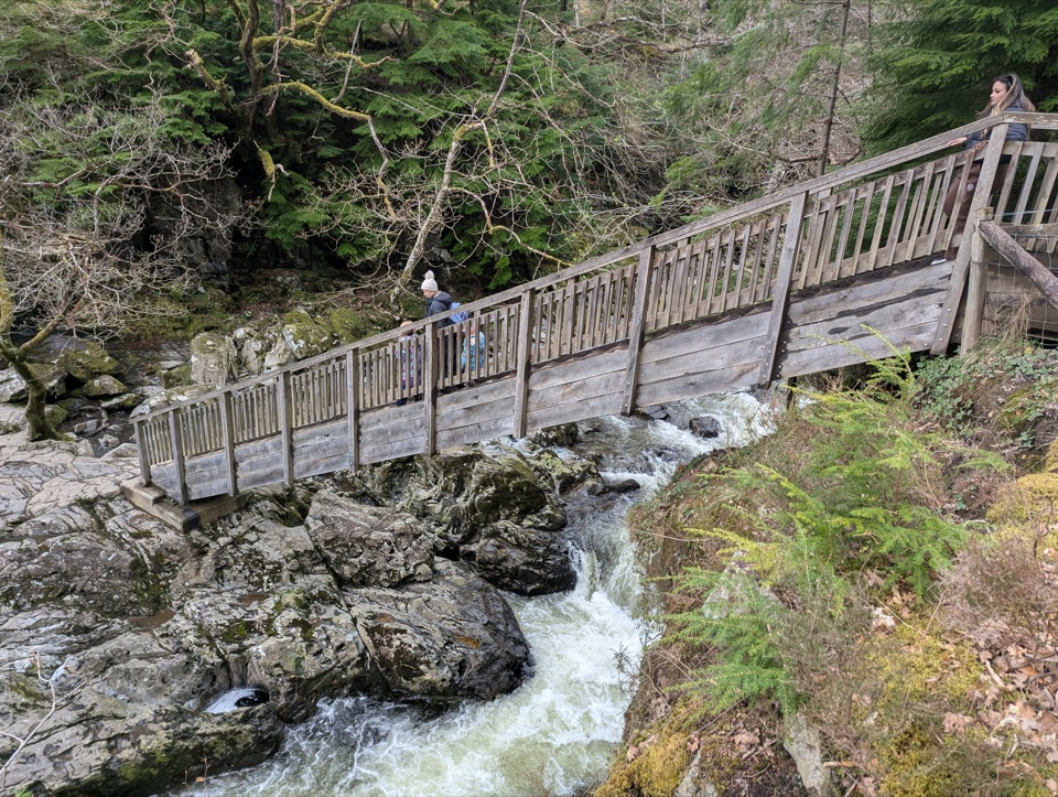
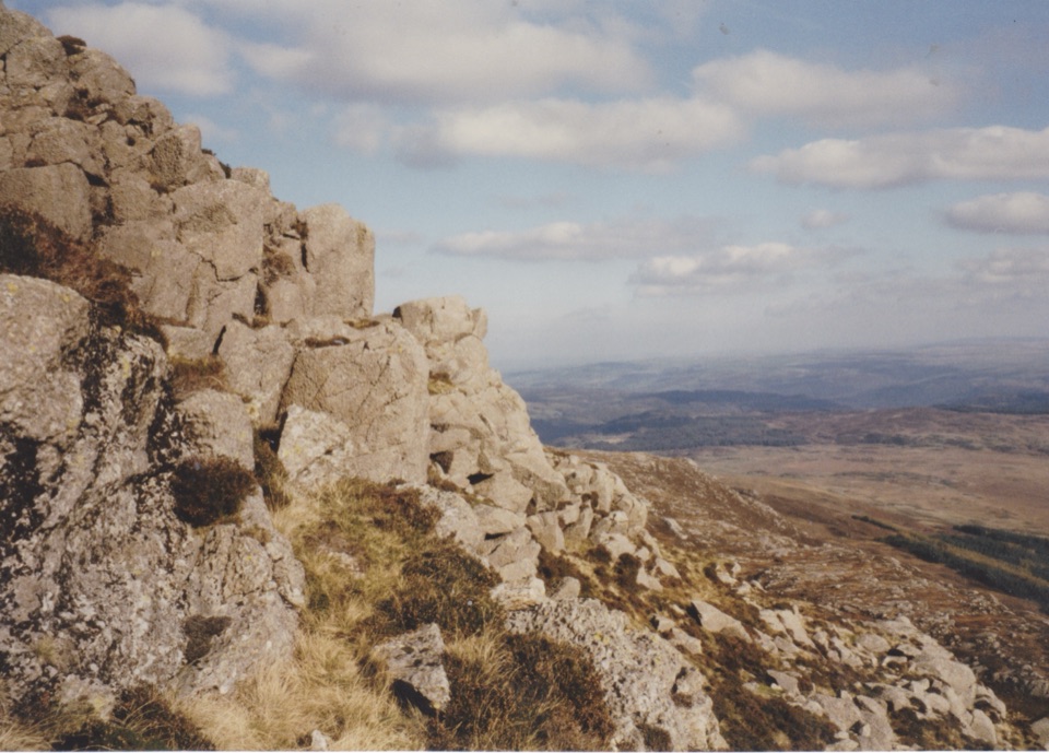
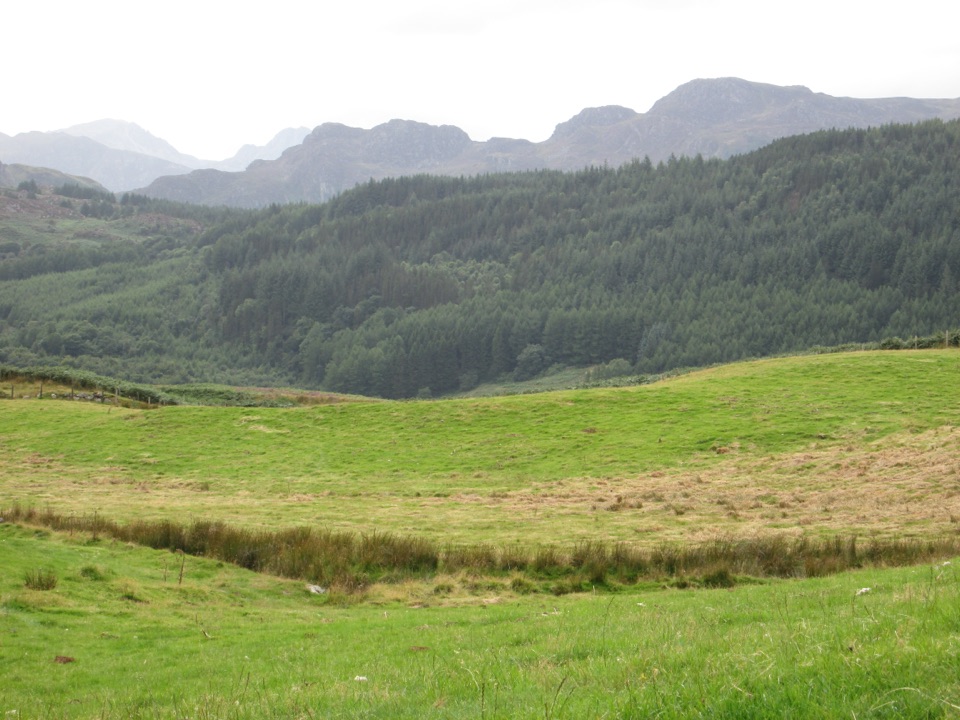
Start and finish at the Ty'n Llwyn car park in Gwydir Forest Park. The path drops through woodland toward the Swallow Falls viewpoint, with the river audible well before you see it. A narrow stretch then runs beside a small cliff and a fenced drop above the water. After that comes the hard part: a steep pull through trees and rocky outcrops to a second viewpoint looking toward Moel Siabod and the Yr Wyddfa Horseshoe, before the trail loops back to the car park. The walk is built around the waterfall viewing corridor rather than any access down to the water.

The real difficultyDo not judge this one by the mileage.

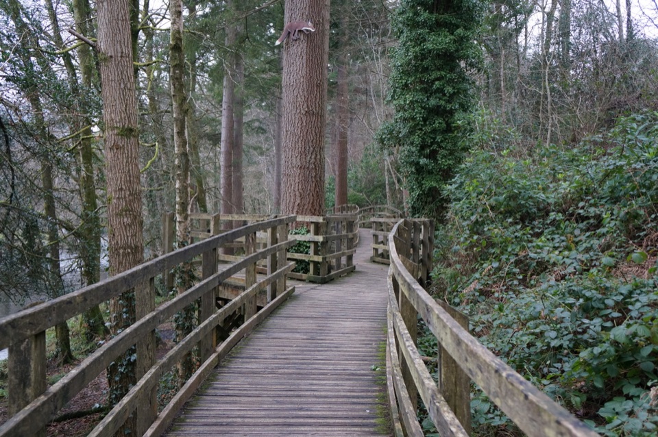
Do not judge this one by the mileage. Paths are steep, rough and narrow, under 70 cm wide in places, on unmade and uneven ground with mud, rocks and tree roots, plus several flights of steps. There are unprotected drops in places, so keep to the waymarked trail and keep children and any less steady walkers close. Boots with grip are worth having, especially when the ground is wet. Resting posts break up the climbs and there are benches at both viewpoints.

Views and photographyThe setting is dense woodland, river noise and rocky outcrops, with the falls as the…

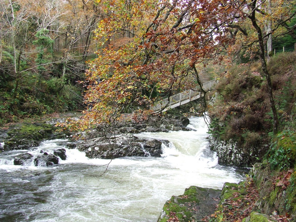
The setting is dense woodland, river noise and rocky outcrops, with the falls as the centrepiece and the second viewpoint delivering the wider mountain skyline. After heavy rain the falls are at their most impressive, so wet spells reward the effort even if the footing gets messier. Bare winter trees open up more of the woodland and river; summer leaf cover closes the views in and shades the climb.

Getting there and parkingTy'n Llwyn sits 3.5 miles west of Betws-y-coed.

Ty'n Llwyn sits 3.5 miles west of Betws-y-coed. Take the A5 toward Capel Curig, pass Cae'n y Coed, turn right onto the narrow minor road immediately before the Ugly House (Tŷ Hyll), then continue 1 mile to the small car park on the right. Use OS grid reference SH 765 583, since postcode LL24 0DH covers a broad area and will not bring you to the entrance. Parking is free and overnight parking is not permitted.

Access and practicalitiesThe car park has Blue Badge spaces and an accessible picnic table, but the trail itself is not…

The car park has Blue Badge spaces and an accessible picnic table, but the trail itself is not wheelchair accessible: the steps, gradients and narrow rough sections rule out wheels and make it a poor choice for pushchairs. It is a small car park, so arriving early gives you the best chance of a space. If you are planning to bring a dog, check the on-site signs at the trailhead before you set off.

Our takeRating 68/100, difficulty 7/10.

Rating 68/100, difficulty 7/10. A short, genuinely demanding woodland circuit that pairs a famous waterfall view with a proper mountain outlook, best suited to walkers who are happy with steep, uneven ground and steps.

Wildlife

Wildlife in Eryri

All Eryri wildlife maps

Sighting maps show where each species has been reported across Eryri. Wildlife moves, so no sighting is guaranteed.

Keep exploring

Near Swallow Falls Walk

See it all on the map

Trails that start nearby

Places near the trailhead

Parkwolf’s Eryri ranking

Top-rated trails in Eryri

All 120 trails
  1. 1Yr Wyddfa Pyg Track and Miners’ Track LoopChallenging · 12.1 km
  2. 2Llanberis PathChallenging · 14.5 km
  3. 3Pyg TrackChallenging · 11 km
  4. 4Miners’ TrackChallenging · 12.9 km
  5. 5Cwm Idwal WalkModerate · 4.8 km
  6. 6Watkin PathChallenging · 12.9 km

Take Parkwolf to Eryri.

The audio tour guide for the drive, plus offline maps, trails, and wildlife heatmaps for when the signal drops.

4.7 from 8,600+ ratings

Download Parkwolf on the App StoreGet Parkwolf on Google Play