Parking
Pont y Pair pay-and-display car park in Betws-y-coed, beside the toilets and welcome panel. It is operated by Conwy County Borough Council and charges apply.
Eryri National Park, WA
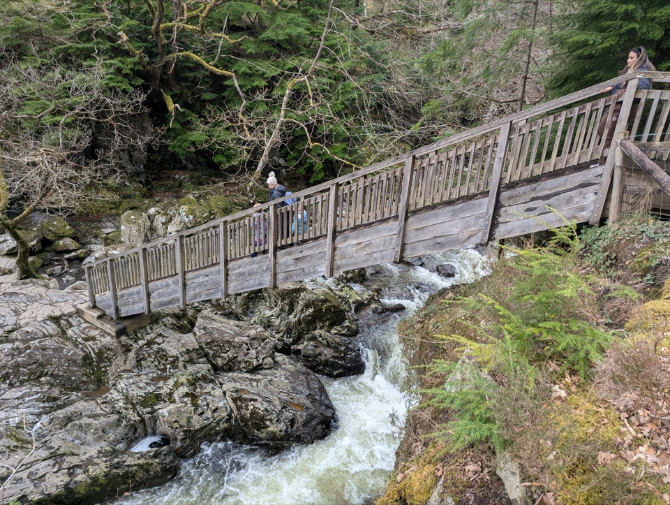
Riverside loop through tall Douglas firs to the historic Miners' Bridge
Overview
Map & elevation
Plan your hike

The highest, rockiest slopes around here are a summer buffet for grizzly bears.
Eryri Tour Guide
Parkwolf is a GPS audio tour guide for Eryri National Park. As you drive, it chimes in with what’s ahead: hidden gems, upcoming stops, history, geology, and wildlife, right through your car’s speakers.
Recorded for this area
Betws-y-Coed and Pont-y-Pair“You're coming up on Betws-y-Coed, a village where bridges cross the Llugwy under wooded hills. I'd start at Pont-y-Pair, the Bridge of the Cauldron, where the rapids are especially lively after rain.”
Plays on the road 0.4 km from the trailhead in the Parkwolf Eryri Tour Guide.
More stories near here in the app
“Fantastic app with many points of information… It’s great to just turn on while you’re driving and it gives you an audio tour of the national Park. We love it!!!!”


Trail guide
A circular loop of 2.5 km / 1.5 miles, allow 1 to 1.5 hours, with about 68 m of climb and a Moderate grade. It starts from the welcome panel near the Pont y Pair pay-and-display car park in Betws-y-coed. Mapped GPS lines for the corridor can come out nearer 2.8 km, which is a difference in measuring convention rather than a different route.
From the Pont y Pair access the path runs upstream beside the Afon Llugwy, first under tall Douglas firs, then out across an open flood plain with views to the surrounding hills and forests. Two narrow metal kissing gates take you through the grassy field, and there is a picnic site at the woodland edge if you want a stop before the turn.
The turning point is the historic Miners' Bridge, with a bench nearby and an interpretation panel that explains the bridge's history and how it got its name. The return leg is on tarmac road and pavement back to the car park, so the second half is quicker and less interesting underfoot than the first.
Moderate here means uneven rather than steep. Expect:
Sensible footwear makes a real difference, and the root-covered stretches need attention if you are walking with children.
After heavy rain the Afon Llugwy can spill across the path in the open ground outside the woods. If the path is flooded, do not attempt the route.
Dogs are welcome but must be kept on short leads. The Pont y Pair car park is run by Conwy County Borough Council and there is a parking charge; toilets are at the car park.
If the roots, mud and narrow path sound like too much, the Coed Tan Dinas Walk is an easier 1.2 km / 0.7 mile boardwalk stroll among giant Douglas firs beside the same river.
Wildlife
 77 sightingsGrey HeronMost seen around 7 AMSighting map
 17 sightingsTawny OwlMost seen around 6 AMSighting map
 32 sightingsCommon RavenMost seen around 8 AMSighting map
 21 sightingsGreat Spotted WoodpeckerMost seen around 7 AMSighting map
 18 sightingsEuropean RabbitMost seen around 7 AMSighting map
 161 sightingsViviparous LizardMost seen around 10 AMSighting map
Sighting maps show where each species has been reported across Eryri. Wildlife moves, so no sighting is guaranteed.
Keep exploring
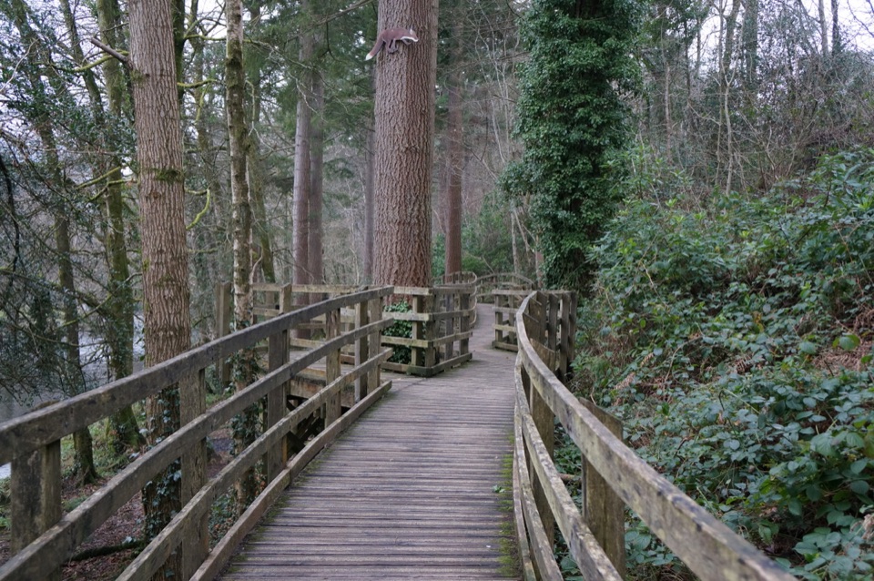 EasyCoed Tan Dinas Walk1.1 km · 30 min · At the trailheadRiver boardwalk, tall Douglas firs, picnic spot, all in 30 minutes
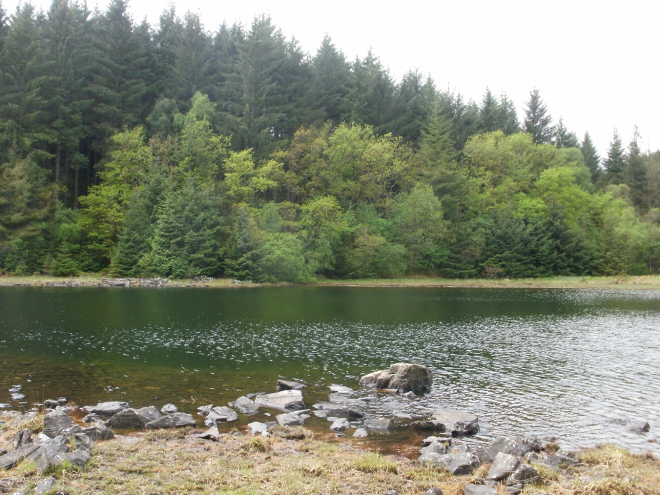 ChallengingLlyn Parc Walk6.9 km · 2.3 hr · At the trailheadStrenuous 4.3-mile forest loop past a viewpoint, lake and mine gorge
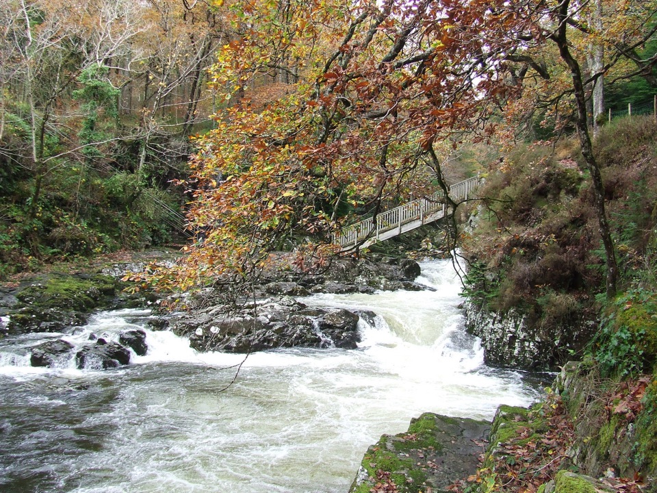 EasyBetws-y-coed Bridges3.6 km · 45 min · 0.4 km awayTwo river bridges, riverside woods and a village loop in 45 minutes
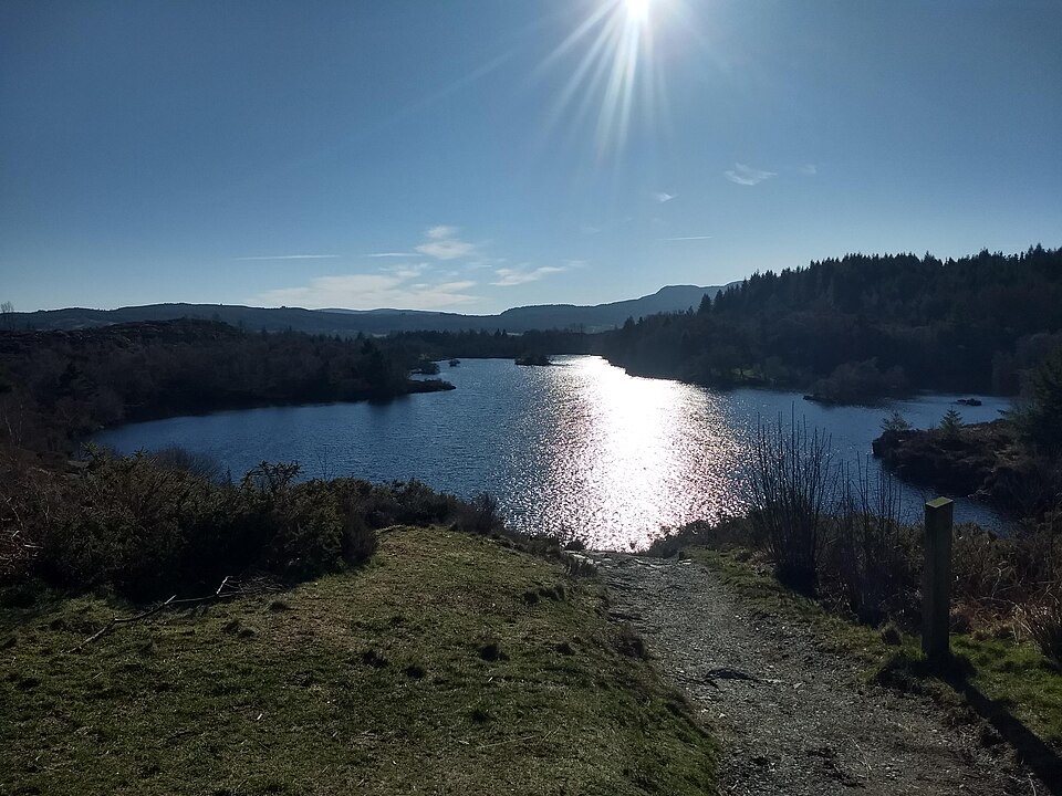 ChallengingLlyn Elsi Walk6.3 km · 2.5 hr · 0.4 km awaySteep forest climb from the village to a quiet island-dotted reservoir
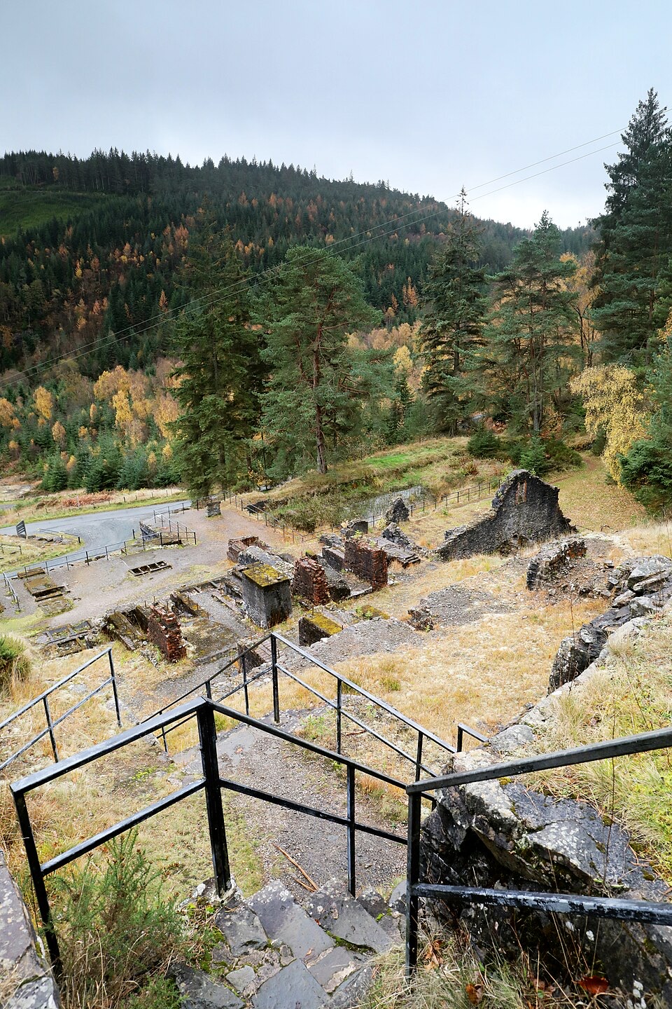 ModerateForest Lakes Walk4.2 km · 1.5 hr · 2.8 km awayThree upland reservoirs, a lead mine and a cliff-edge view above Llanrwst
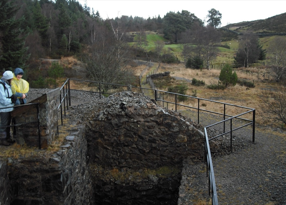 ModerateCyffty Mine Trail0.5 km · 20 min · 2.9 km awayPeer into a covered lead-mine shaft on a half-kilometre heritage loop
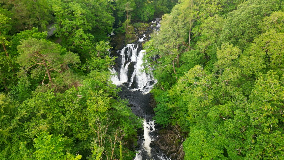 ChallengingSwallow Falls Walk3.5 km · 2 hr · 3 km awaySteep woodland loop to a waterfall viewpoint and Moel Siabod panoramas
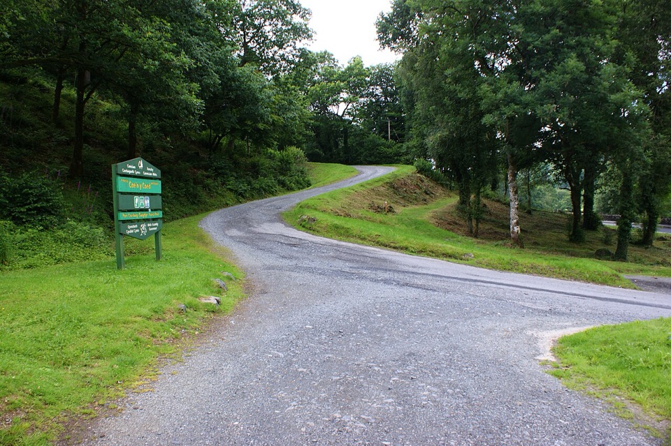 ChallengingCraig-Forris Walk3.3 km · 1.8 hr · 3 km awayShort, steep loop through an old arboretum to a mountain panorama
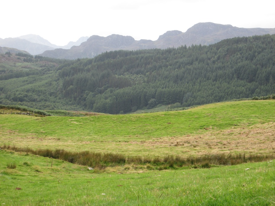 Sight · 0.1 km awayGwydir Forest ParkWoodland lakes, old mines, and big views around Betws-y-Coed
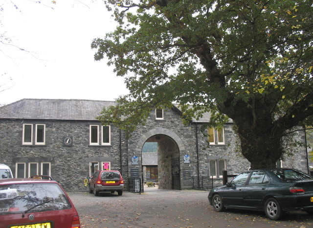 Visitor center · 0.3 km awayBetws-y-Coed Information CentreA practical base for maps, walks, and mountain-day know-how
 Sight · 0.4 km awayBetws-y-CoedA forest-framed village of bridges, rivers, and Victorian character
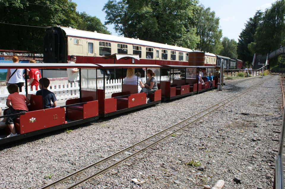 Sight · 0.5 km awayConwy Valley Railway MuseumMiniature trains and railway history beside Betws-y-Coed station
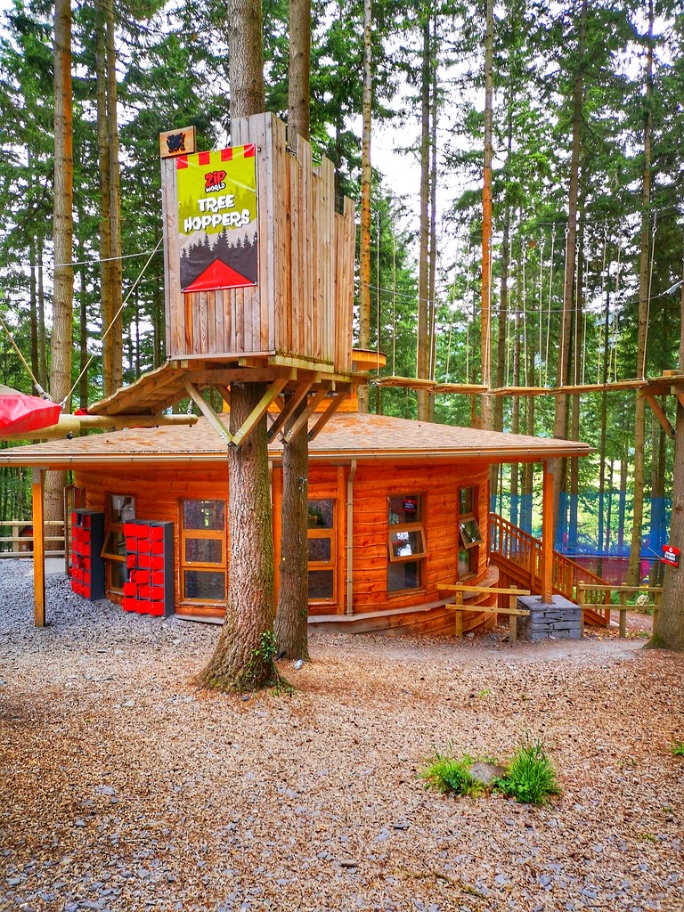 Sight · 1.5 km awayZip World Betws-y-CoedSix woodland adventures, led by a surprisingly thrilling alpine coaster.
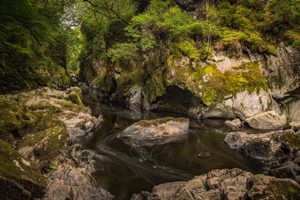 Sight · 2.6 km awayFairy Glen (Ffos Anoddun)Mossy rock gorge where the Conwy squeezes through wooded rapids
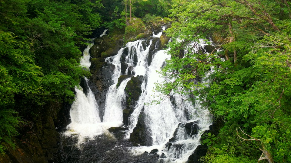 Sight · 2.8 km awaySwallow Falls (Rhaeadr Ewynnol)Foaming cascades plunge through a limestone gorge beside the A5
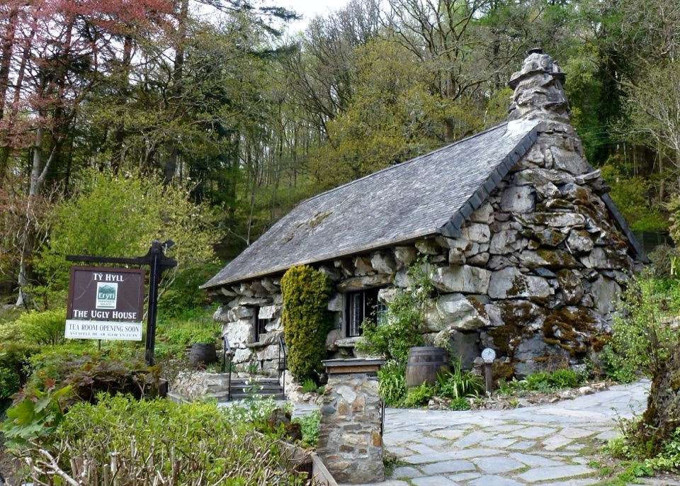 Sight · 3.6 km awayTŷ Hyll (The Ugly House)A storybook stone cottage with a surprisingly lovely pollinator garden
Parkwolf’s Eryri ranking

The audio tour guide for the drive, plus offline maps, trails, and wildlife heatmaps for when the signal drops.




