Forest Lakes Walk in Eryri National Park

Eryri National Park, WA

Forest Lakes Walk

Three upland reservoirs, a lead mine and a cliff-edge view above Llanrwst

Photo: Wikimedia Commons
Length
4.2km
Time
1.5hr
Elev. change
84m
Difficulty
Moderate
  • Loop
  • Dogs allowed
  • High point 317 m

Hear the audio tour

Gwydir Forest Lakes Walk

Overview

About Forest Lakes Walk

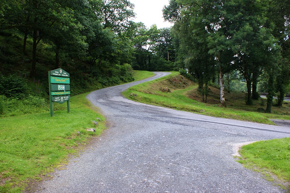
A waymarked loop of 2.6 miles (4.2 km) starting and finishing at Llyn Sarnau car park in Gwydir Forest Park, near Llanrwst. The distance is the complete circuit, measured start to finish back at the same car park, so there is no out-and-back maths to do. Begin at the signed information board and follow the yellow waymarker symbols the whole way round; the trail closes back at the same car-park access.

Why go

  • Three reservoirs and strong mining history
  • Mountain and valley views from the loop

Heads up

  • Rough narrow paths with mud, rocks and roots
  • Unprotected drops near the cliff-edge viewpoint
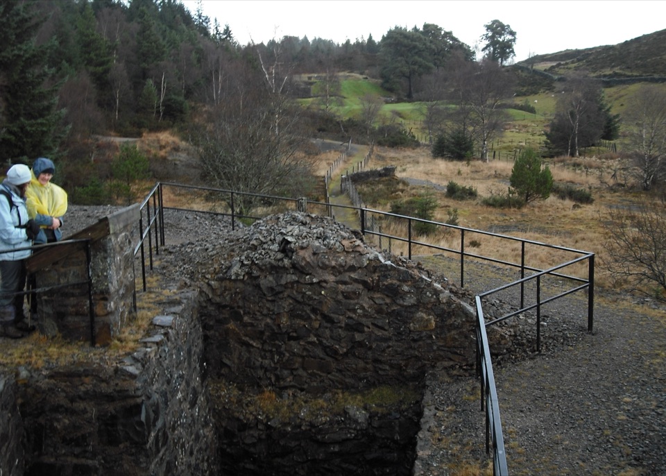
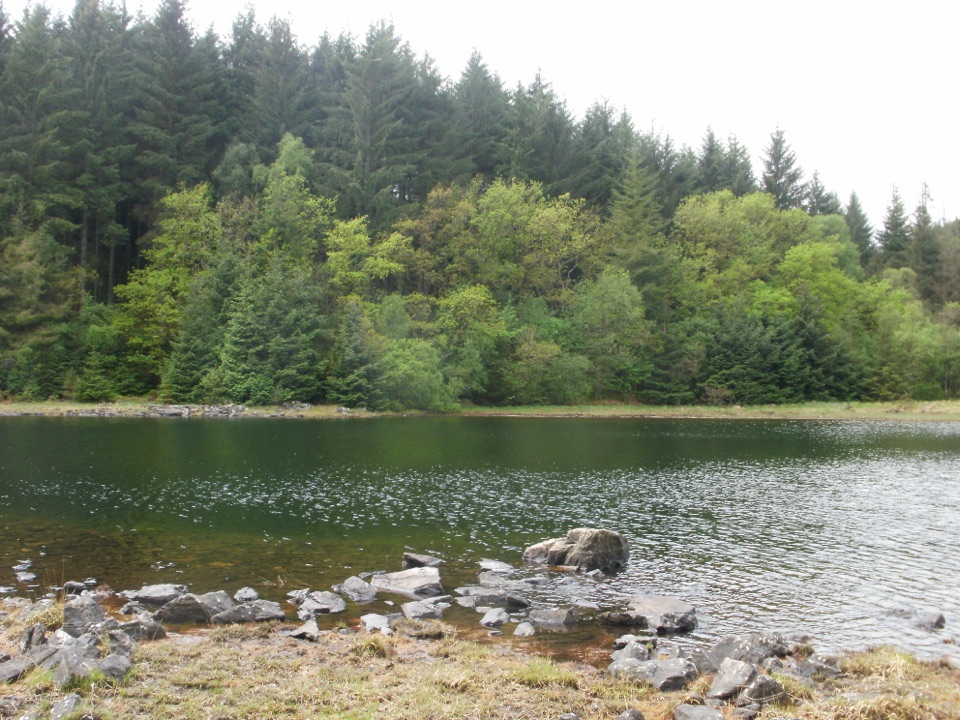
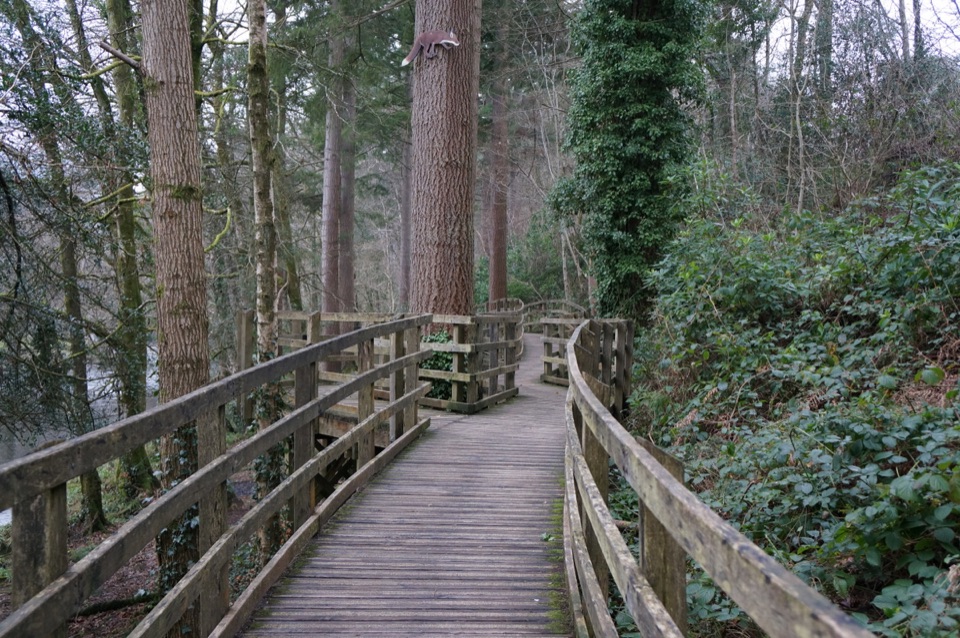
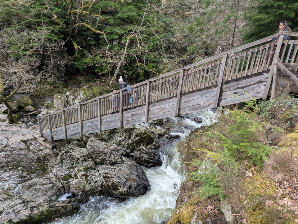
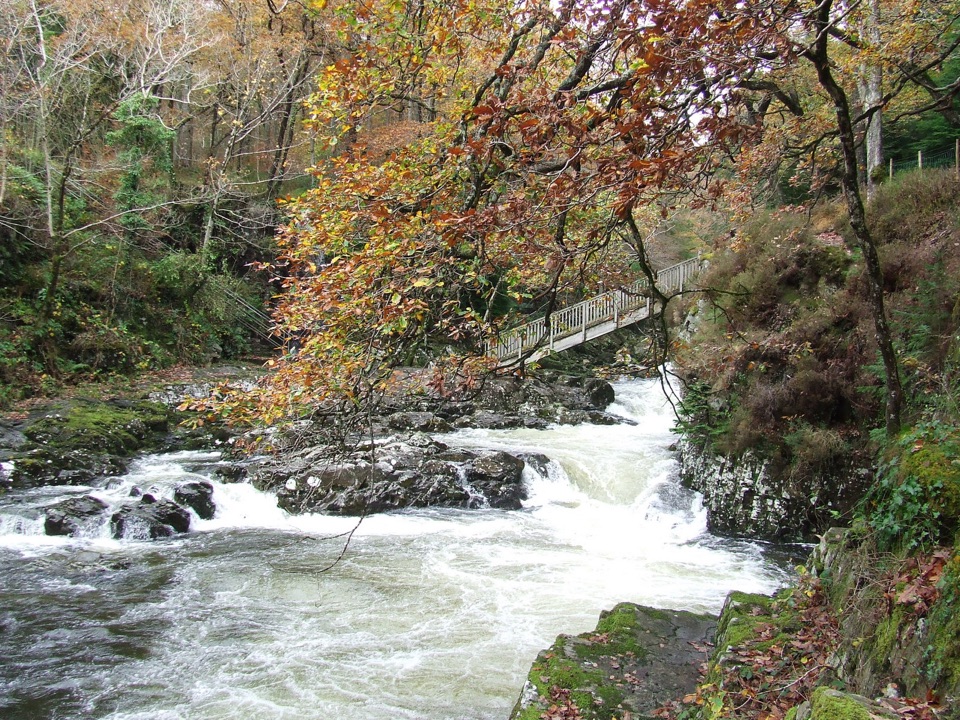
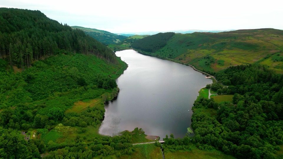
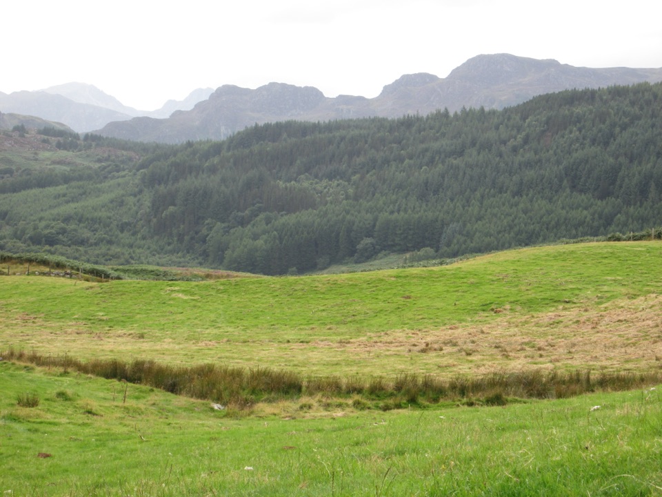
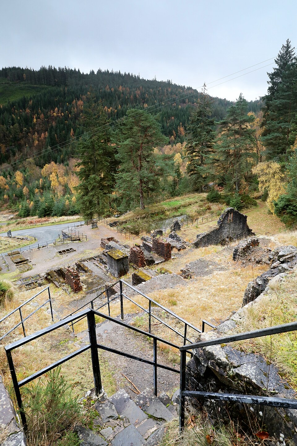
From the car park the trail drops into conifer woodland and works its way past three upland lakes that are technically reservoirs, built to serve the local lead industry: Pandora Uchaf, Pen-y-gwaith and Hafna Uchaf. Beyond them you reach the remains of the old High Hafna Lead Mine, where interpretation panels explain what the ruined buildings and workings were for. The route then rolls along an undulating woodland path to a viewpoint on top of a cliff edge, with mountain and valley views opening out above the trees, before curving back to Llyn Sarnau.
Parkwolf’s verdictThe sequence and the payoff

Map & elevation

The route

Loading the Eryri map
Full map
Elevation233–317 m
TrailheadLlyn Sarnau car park53.11594, -3.82743
Keep this map with you offline in the Parkwolf app

Plan your hike

Before you go

Parking

Use Llyn Sarnau car park, OS grid reference SH 778 592. From the B5106 west of Llanrwst, turn at the brown and white Gwydir Castle sign and immediately right, then pass the Sawbench and Hafna car parks. Parking is free; overnight parking is not permitted. Postcode LL27 0JB covers a wide area and does not navigate directly to the entrance.


Safety

Unprotected drops and old mine buildings are close to the route. Stay on the yellow-waymarked trail, keep back from the cliff edge, and take care on mud, rocks, roots and narrow sections.

A park ranger sits on a dash-mounted phone, talking, as Parkwolf’s Tour Guide plays “Army Cutworm Moths: A Grizzly Bear Buffet” on Grand Loop Road below Dunraven Pass in Yellowstone
Parkwolf Tour GuideThe highest, rockiest slopes around here are a summer buffet for grizzly bears.

Eryri Tour Guide

Your drive to Forest Lakes Walk, narrated.

Parkwolf is a GPS audio tour guide for Eryri National Park. As you drive, it chimes in with what’s ahead: hidden gems, upcoming stops, history, geology, and wildlife, right through your car’s speakers.

Recorded for this trailhead

Gwydir Forest Lakes Walk
0:00 / 0:30
“You're approaching Llyn Sarnau, the start of Gwydir Forest's Forest Lakes Walk.”

Plays as you drive up to this trailhead in the Parkwolf Eryri Tour Guide.

More stories near here in the app

  • Swallow Falls
  • Gwydir's Planted Woods
  • What the Waterfall Paid For
  • The Church That Saved a Climb
  • 298 audio storiesacross Eryri’s roads, triggered by GPS as you drive
  • Wildlife heatmapsfor Grey Heron, Tawny Owl, Common Raven, and 9 more
  • Works offlinemaps, 120 trails, 82 places, and audio download before you lose signal
  • CarPlay readysimple controls built for the drive
★★★★★
“Fantastic app with many points of information… It’s great to just turn on while you’re driving and it gives you an audio tour of the national Park. We love it!!!!”
JMJamesApp Store review
Download Parkwolf on the App StoreGet Parkwolf on Google Play

4.7 from 8,600+ ratings

Trail guide

Hiking Forest Lakes Walk

Difficulty and footingGraded Moderate, and it earns that. Expect:

Graded Moderate, and it earns that. Expect:

Boots with grip and ankle support make this much more pleasant than trainers. This is not an easy stroll and it is not suitable for everyone.

  • Around 170 m (558 ft) of total climb, spread over several pulls rather than one long ascent
  • Wide, firm forest roads on some sections
  • Rough, narrow paths, in places under 50 cm wide
  • Mud, loose rock, and exposed tree roots underfoot
Time to allowThe official window is 1 to 2 hours.

The official window is 1 to 2 hours. Most walkers land near an hour and a half, which leaves time to read the mine panels and sit at the viewpoint. Push to the two-hour end if you are walking with children, stopping often, or the ground is soft.

Safety you should plan forTwo permanent hazards deserve respect.

Two permanent hazards deserve respect. The viewpoint sits on an unprotected cliff edge with no barrier, and the mine area contains old buildings and structures. Stay on the yellow-waymarked trail, keep well back from the drop, do not climb on or enter the ruins, and watch your feet on the rocky, rooty, muddy sections. Keep children close at the viewpoint and around the mine.

DogsThe route follows public footpaths within the National Park, so dogs are welcome under close…

The route follows public footpaths within the National Park, so dogs are welcome under close control. A short lead is the sensible choice here given the unprotected drops, the mine remains, and any livestock or wildlife you may meet. On open-access land a lead no longer than 2 m is required from 1 March to 31 July. Treat close control as a genuine obligation, not a suggestion.

Parking and accessUse Llyn Sarnau car park, grid reference SH 778 592.

Use Llyn Sarnau car park, grid reference SH 778 592. From the B5106 west of Llanrwst, turn at the brown and white Gwydir Castle sign, then immediately right, and continue past the Sawbench and Hafna car parks. Parking is free and overnight parking is not permitted. The postcode LL27 0JB covers a wide area and will not bring you to the entrance, so navigate by the grid reference and the signs.

There is Blue Badge parking and a wheelchair-accessible picnic table at Llyn Sarnau, but the walk itself is not an Access for All route. The narrow, rough sections rule out wheelchairs and pushchairs.

A nearby alternativeIf you want the mining history without the climb, the Cyffty Mine Trail in the same forest is a…

If you want the mining history without the climb, the Cyffty Mine Trail in the same forest is a shorter, more compact option focused on mine remains. It is a separate waymarked route, so do not expect it to link into this loop.

The sequence and the payoffAlong the way there are three benches, and a picnic table by one of the lakes.

Along the way there are three benches, and a picnic table by one of the lakes. Llyn Sarnau itself is shallow and can dry out in summer; even then it stays valuable wetland habitat, so keep to the path and let it be.

Wildlife

Wildlife in Eryri

All Eryri wildlife maps

Sighting maps show where each species has been reported across Eryri. Wildlife moves, so no sighting is guaranteed.

Keep exploring

Near Forest Lakes Walk

See it all on the map

Trails that start nearby

Places near the trailhead

Parkwolf’s Eryri ranking

Top-rated trails in Eryri

All 120 trails
  1. 1Yr Wyddfa Pyg Track and Miners’ Track LoopChallenging · 12.1 km
  2. 2Llanberis PathChallenging · 14.5 km
  3. 3Pyg TrackChallenging · 11 km
  4. 4Miners’ TrackChallenging · 12.9 km
  5. 5Cwm Idwal WalkModerate · 4.8 km
  6. 6Watkin PathChallenging · 12.9 km

Take Parkwolf to Eryri.

The audio tour guide for the drive, plus offline maps, trails, and wildlife heatmaps for when the signal drops.

4.7 from 8,600+ ratings

Download Parkwolf on the App StoreGet Parkwolf on Google Play