Parking
Use Pont y Pair car park in Betws-y-Coed, about five minutes' walk from the trail start behind St Mary's Church. The council-operated car park has a parking charge.
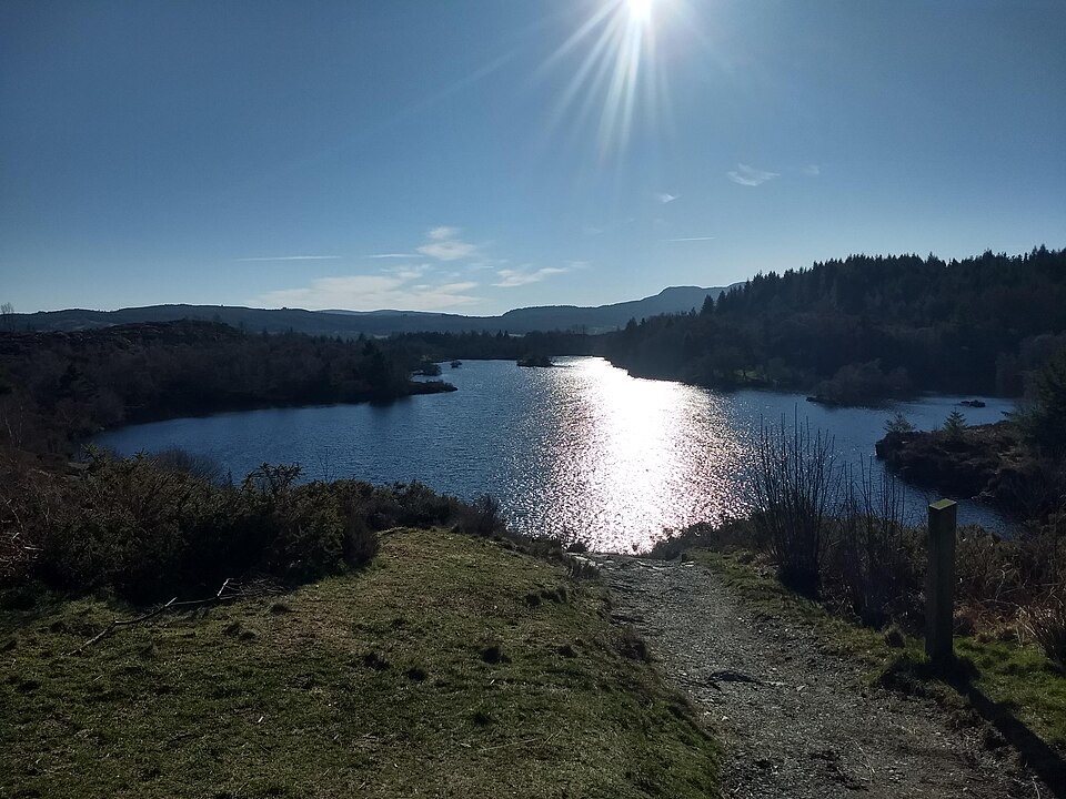
Eryri National Park, WA
Steep forest climb from the village to a quiet island-dotted reservoir
Overview
Map & elevation
Plan your hike

The highest, rockiest slopes around here are a summer buffet for grizzly bears.
Eryri Tour Guide
Parkwolf is a GPS audio tour guide for Eryri National Park. As you drive, it chimes in with what’s ahead: hidden gems, upcoming stops, history, geology, and wildlife, right through your car’s speakers.
Recorded for this area
Betws-y-Coed and Pont-y-Pair“You're coming up on Betws-y-Coed, a village where bridges cross the Llugwy under wooded hills. I'd start at Pont-y-Pair, the Bridge of the Cauldron, where the rapids are especially lively after rain.”
Plays near this trailhead in the Parkwolf Eryri Tour Guide.
More stories near here in the app
“Fantastic app with many points of information… It’s great to just turn on while you’re driving and it gives you an audio tour of the national Park. We love it!!!!”


Trail guide
A waymarked circular lollipop of 3.9 miles (6.2 km): up from Betws-y-Coed on the main forest approach, a full loop of Llyn Elsi, then back down the same way. Reckon on 2 to 3 hours with 318 m of climb, and treat the grade as strenuous rather than a stroll.
You start behind St Mary's Church in the village centre, through the gate onto the forest road, and the hardest work comes almost immediately. The gradient eases as you gain height, and a viewpoint on the approach opens out over the lake with the Carneddau and Glyderau ranges behind it. Then the reservoir itself arrives: quiet water with small islands, ringed by a path that swings close to the shore and then back into the trees. Once you finish the circuit you rejoin the main path and retrace your steps down.
Those resting spots matter. The climb is the sort where you are grateful for somewhere to sit every few minutes, and the descent asks a bit of care on the loose and rooty sections.
The start is in the village, not a drive-up forest car park. Pont y Pair car park is the durable reference point, about five minutes' walk away; it is run by the local council and carries a parking charge. Village facilities are close by, which makes this an easy walk to do without carrying much.
Dogs are welcome. On open access land they must be on a lead no longer than 2 m from 1 March to 31 July, and on public rights of way they should be under close control, with a short lead sensible near livestock and wildlife. Keep an eye out for wildlife around the reservoir and in the surrounding forest, and give it space.
The steep start is the whole story of this walk's difficulty, and the return is the same main path you came up, so there is no fresh scenery on the way down. If the climb sounds like too much, Coed Tan Dinas or one of the short riverside walks from the same part of the village gives you woodland and water for a fraction of the effort.
Wildlife
 77 sightingsGrey HeronMost seen around 7 AMSighting map
 17 sightingsTawny OwlMost seen around 6 AMSighting map
 32 sightingsCommon RavenMost seen around 8 AMSighting map
 21 sightingsGreat Spotted WoodpeckerMost seen around 7 AMSighting map
 18 sightingsEuropean RabbitMost seen around 7 AMSighting map
 161 sightingsViviparous LizardMost seen around 10 AMSighting map
Sighting maps show where each species has been reported across Eryri. Wildlife moves, so no sighting is guaranteed.
Keep exploring
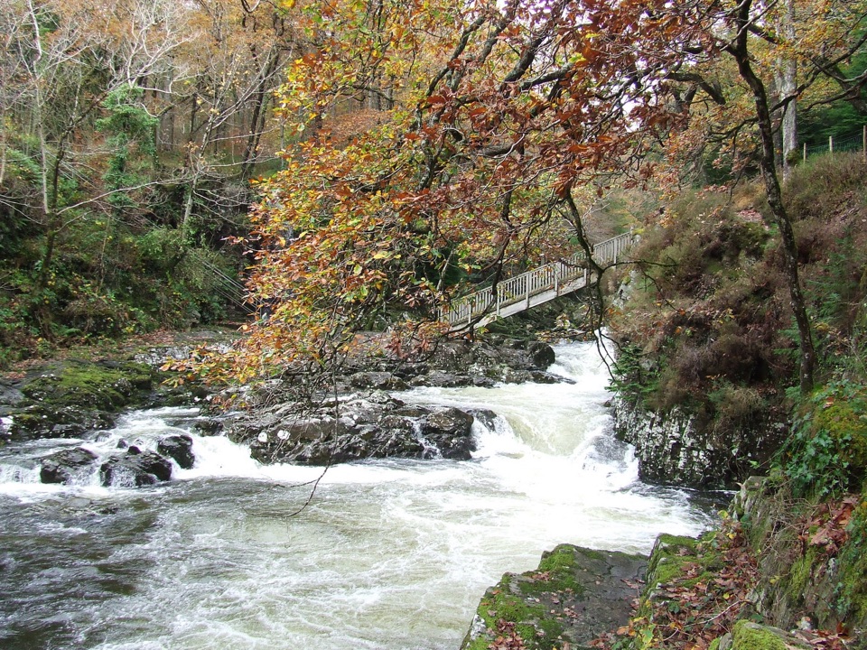 EasyBetws-y-coed Bridges3.6 km · 45 min · 0.3 km awayTwo river bridges, riverside woods and a village loop in 45 minutes
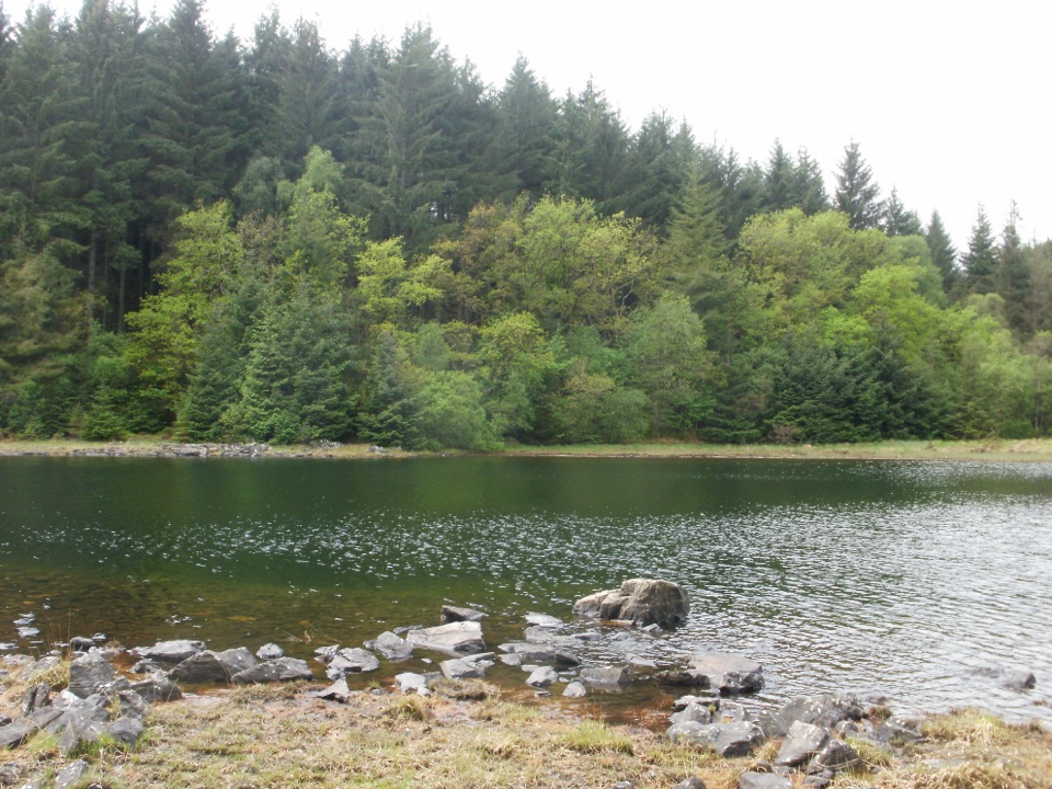 ChallengingLlyn Parc Walk6.9 km · 2.3 hr · 0.4 km awayStrenuous 4.3-mile forest loop past a viewpoint, lake and mine gorge
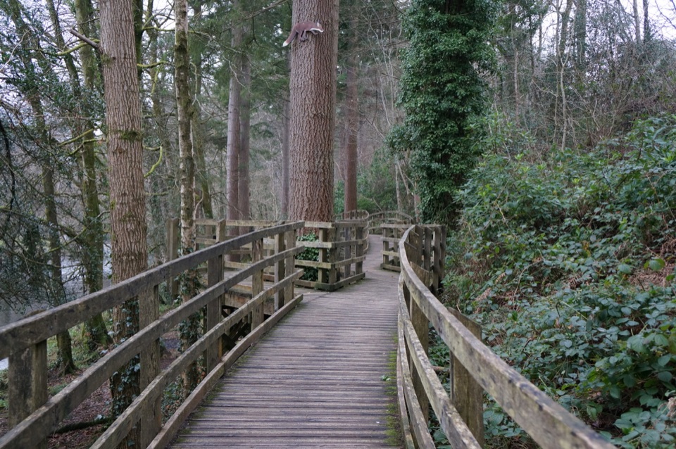 EasyCoed Tan Dinas Walk1.1 km · 30 min · 0.4 km awayRiver boardwalk, tall Douglas firs, picnic spot, all in 30 minutes
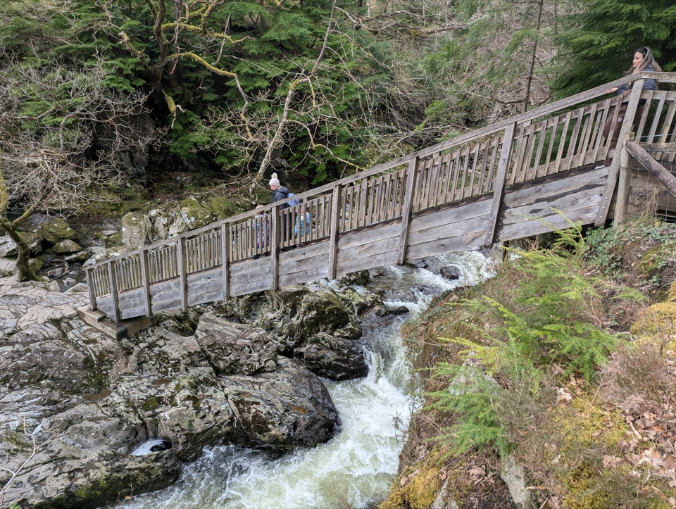 ModerateAfon Llugwy Riverside Walk2.4 km · 1.3 hr · 0.4 km awayRiverside loop through tall Douglas firs to the historic Miners' Bridge
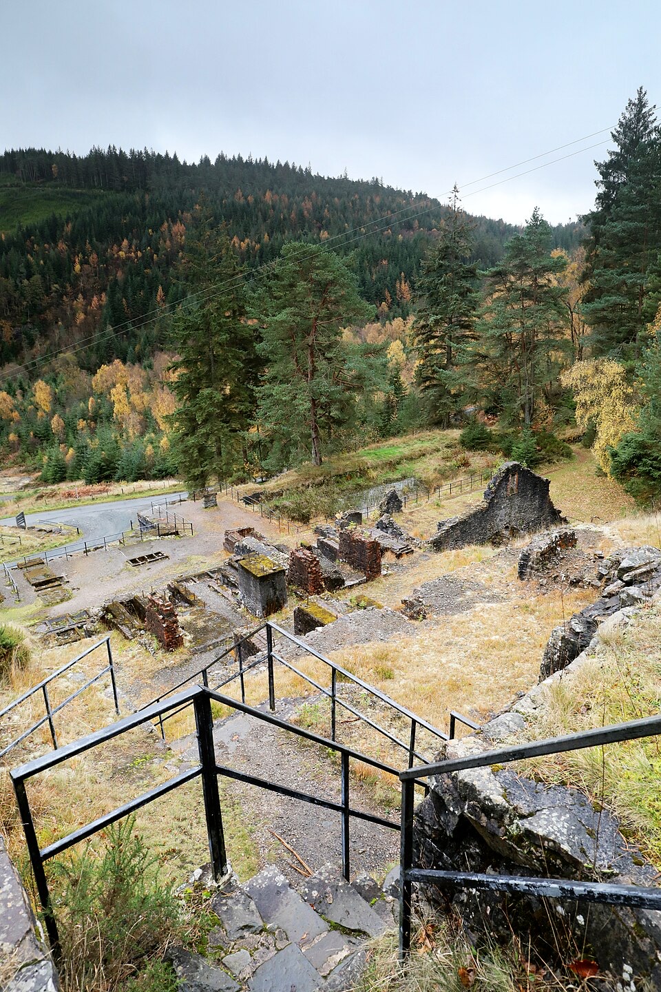 ModerateForest Lakes Walk4.2 km · 1.5 hr · 3.2 km awayThree upland reservoirs, a lead mine and a cliff-edge view above Llanrwst
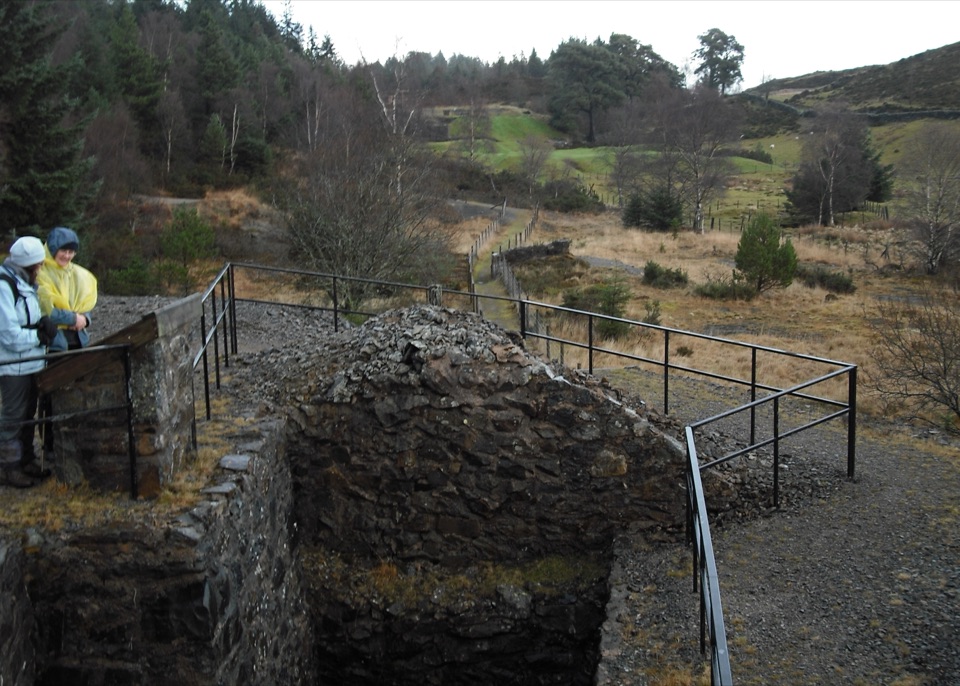 ModerateCyffty Mine Trail0.5 km · 20 min · 3.3 km awayPeer into a covered lead-mine shaft on a half-kilometre heritage loop
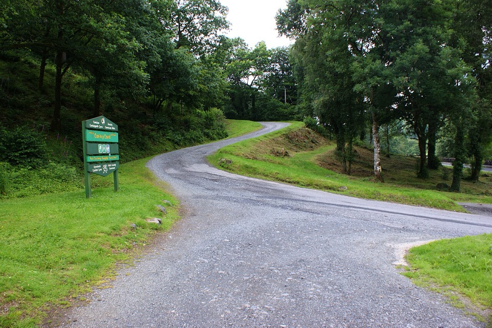 ChallengingCraig-Forris Walk3.3 km · 1.8 hr · 3.4 km awayShort, steep loop through an old arboretum to a mountain panorama
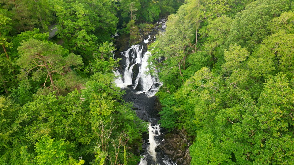 ChallengingSwallow Falls Walk3.5 km · 2 hr · 3.4 km awaySteep woodland loop to a waterfall viewpoint and Moel Siabod panoramas
 Sight · At the trailheadBetws-y-CoedA forest-framed village of bridges, rivers, and Victorian character
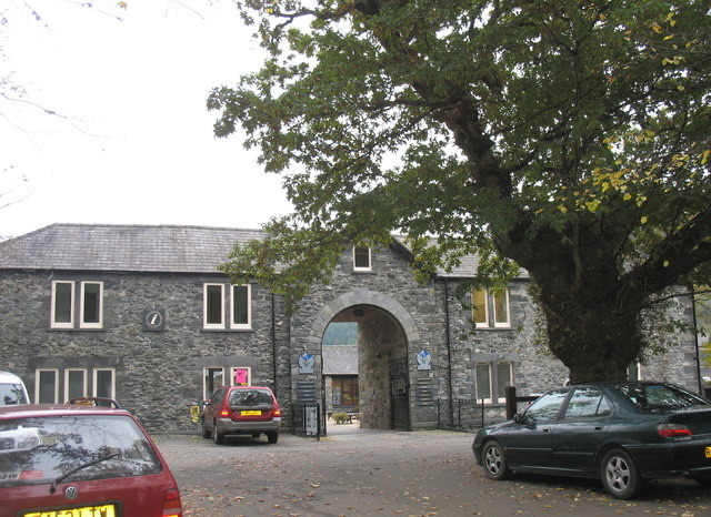 Visitor center · 0.2 km awayBetws-y-Coed Information CentreA practical base for maps, walks, and mountain-day know-how
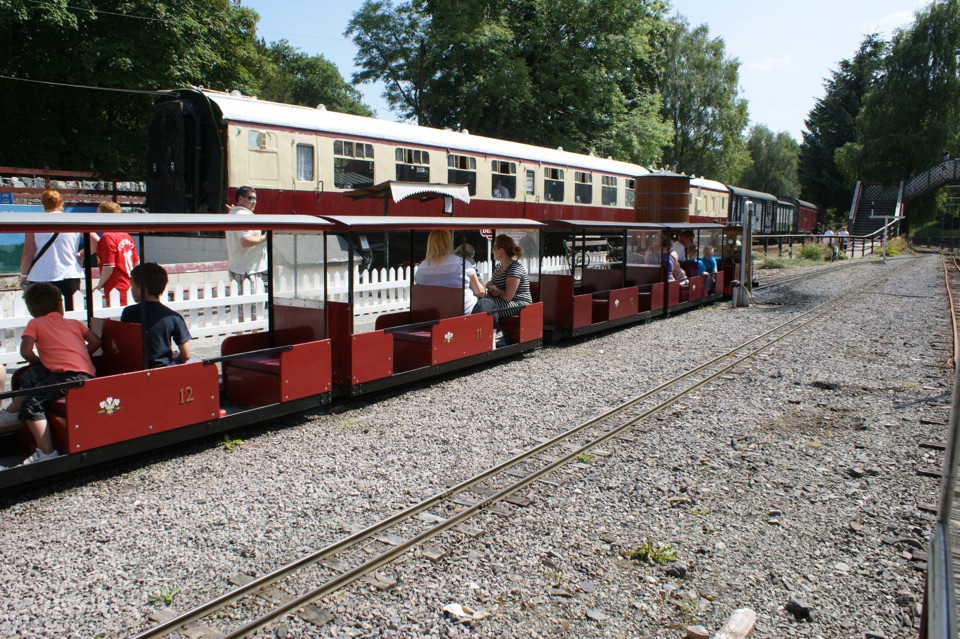 Sight · 0.2 km awayConwy Valley Railway MuseumMiniature trains and railway history beside Betws-y-Coed station
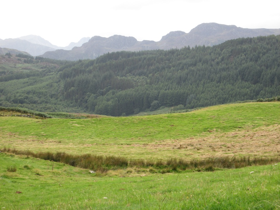 Sight · 0.4 km awayGwydir Forest ParkWoodland lakes, old mines, and big views around Betws-y-Coed
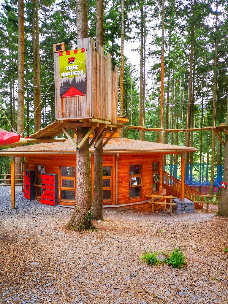 Sight · 1.5 km awayZip World Betws-y-CoedSix woodland adventures, led by a surprisingly thrilling alpine coaster.
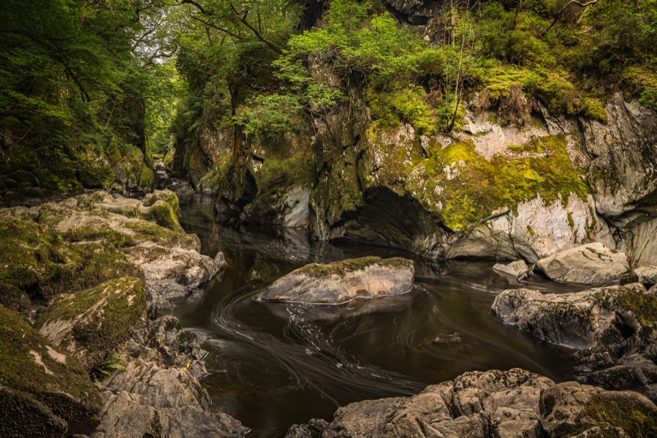 Sight · 2.3 km awayFairy Glen (Ffos Anoddun)Mossy rock gorge where the Conwy squeezes through wooded rapids
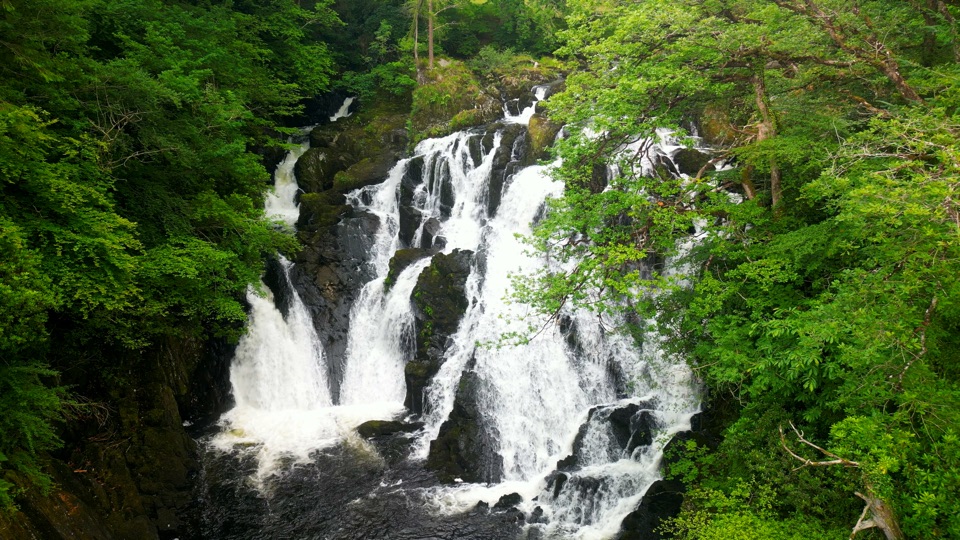 Sight · 3.1 km awaySwallow Falls (Rhaeadr Ewynnol)Foaming cascades plunge through a limestone gorge beside the A5
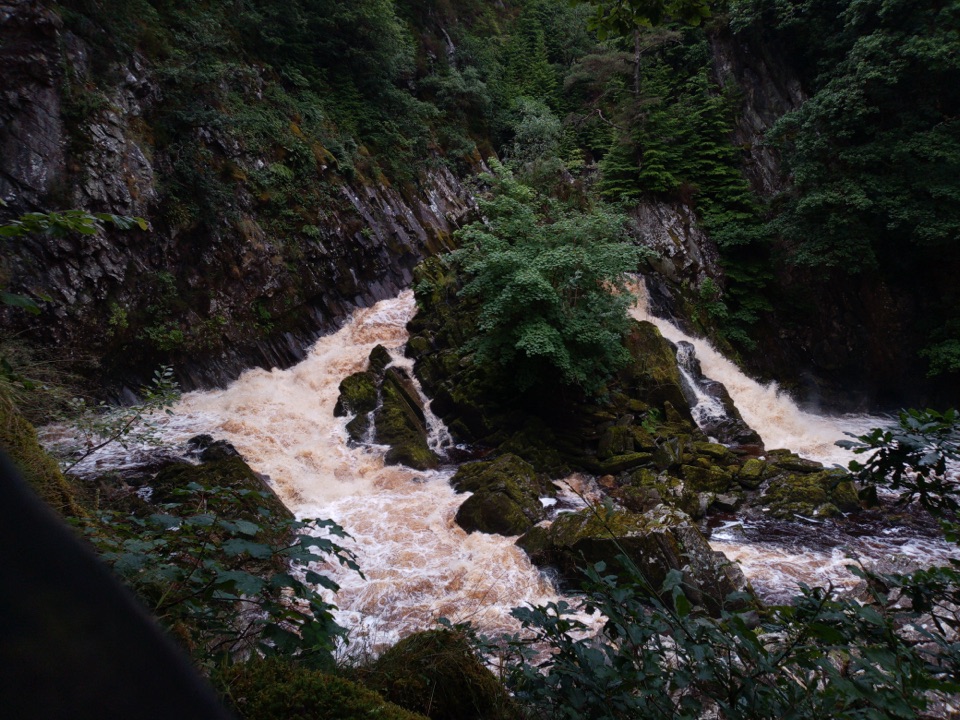 Sight · 3.3 km awayConwy FallsA rushing gorge waterfall wrapped in ancient woodland
Parkwolf’s Eryri ranking

The audio tour guide for the drive, plus offline maps, trails, and wildlife heatmaps for when the signal drops.




