Parking
Start at Coed Graigddu Car Park at Craigddu Isaf, near SH684302. Use the free designated parking area and do not block field gates or residential entrances.
Eryri National Park, WA
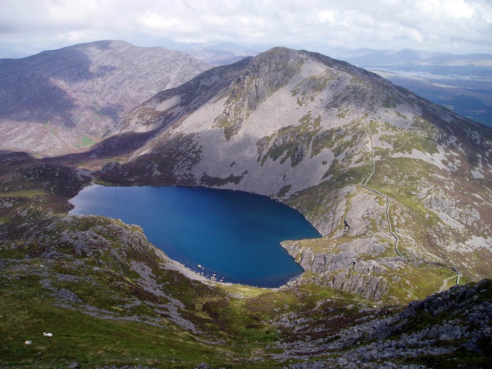
Two rugged summits above dark Llyn Hywel on rough, pathless ground
Overview
Map & elevation
Plan your hike

The highest, rockiest slopes around here are a summer buffet for grizzly bears.
Eryri Tour Guide
Parkwolf is a GPS audio tour guide for Eryri National Park. As you drive, it chimes in with what’s ahead: hidden gems, upcoming stops, history, geology, and wildlife, right through your car’s speakers.
Recorded for this area
The Forest That Fueled Iron“Coed y Brenin's Bloomeries Trail leads to Llwyn Du, a medieval ironworks hidden among the trees. In the fourteenth century, small furnaces turned iron ore into workable metal using charcoal.”
Plays on the road 2.8 km from the trailhead in the Parkwolf Eryri Tour Guide.
More stories near here in the app
“Fantastic app with many points of information… It’s great to just turn on while you’re driving and it gives you an audio tour of the national Park. We love it!!!!”


Trail guide
An out-and-back approach from Coed Graigddu Car Park to the Llyn Hywel basin, with a connected two-summit excursion over Rhinog Fach (about 712 m) and Y Llethr (about 750 m). Total walked distance is 9.0 miles / 14.6 km with roughly 606 m / 2,000 ft of ascent, and that figure covers the whole outing, including the shared approach walked twice. Detailed route mapping of the traversal comes out at about 9.37 miles, which is a sensible cross-check rather than a different route. Allow about 6 hours 10 minutes moving, and realistically 6 to 7 hours with stops and slow going on rock.
This is hard mountain walking, rated 8 out of 10. Expect steep boulder and scree slopes, rough rocky ground, boggy patches and genuinely pathless sections on Y Llethr. A few moves on Rhinog Fach can feel like easy scrambling, and there is real exposure on the rocky ground above Llyn Hywel. The route passes into the Rhinog National Nature Reserve, where there are no path markers and the ground is often very wet, so carry a map you can actually use and wear strong waterproof footwear. Confident navigation matters more here than fitness alone.
The payoffs are concentrated in the high basin: Llyn Hywel cupped under crags, the boulder slopes and slabs of Rhinog Fach, the two summits, and broad views out over the mountains toward the coast. From the summit of Rhinog Fach you look down on Llyn Hywel and Llyn Perfeddau. For pictures, the lake and crag combination reads best in low, angled light early or late in the day, when the rock texture and the slate and heath colours separate; from Y Llethr you get the classic view back across the water to Rhinog Fach. Build extra time into the day if you want to wait for light, because this is not ground to hurry down.
The durable pattern is simple: the exposed rocky ridge, boulders, scree, soft ground and weak paths make wet, windy or low-cloud days materially harder and slower, and route-finding on the pathless descent gets much more serious in poor visibility. Longer daylight and drier spells make the crossing far more pleasant. Winter snow and ice call for proper mountain experience and equipment, including the skills to use it.
Coed Graigddu Car Park (near SH684302) is the start and finish, with free designated parking. Use the designated spaces and do not block field gates or residential entrances. Dogs are welcome on public footpaths and open-access land, kept under close control, on a short lead near livestock and wildlife. Eryri National Park guidance requires a lead of no more than 2 m on open-access land from 1 March to 31 July.
You walk the same approach twice and gain the summits by steep, rough, unmarked ground, so this is a long day for two tops. In exchange you get one of the quieter, more rugged corners of the Rhinogydd, with dark mountain lakes, rock and heath, and views that feel earned. If that sounds like more than you want, the shorter walk to Bwlch Drws Ardudwy from the same car park covers the gentler part of the same ground.
Wildlife
 77 sightingsGrey HeronMost seen around 7 AMSighting map
 17 sightingsTawny OwlMost seen around 6 AMSighting map
 32 sightingsCommon RavenMost seen around 8 AMSighting map
 21 sightingsGreat Spotted WoodpeckerMost seen around 7 AMSighting map
 18 sightingsEuropean RabbitMost seen around 7 AMSighting map
 161 sightingsViviparous LizardMost seen around 10 AMSighting map
Sighting maps show where each species has been reported across Eryri. Wildlife moves, so no sighting is guaranteed.
Keep exploring
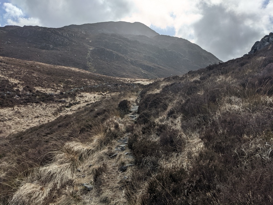 ModerateBwlch Drws Ardudwy6.8 km · 3 hr · At the trailheadBoulder-strewn climb to the gap between Rhinog Fawr and Rhinog Fach
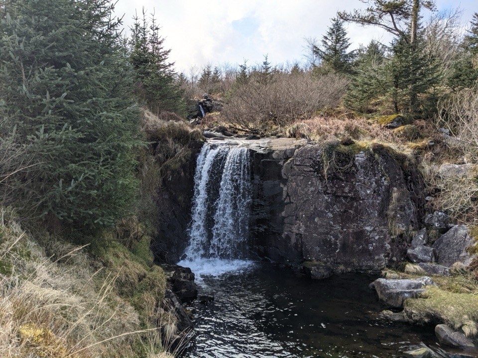 EasyGraigddu Woods5 km · 1 hr · At the trailheadQuiet plantation loop to a small waterfall and southern mountain views
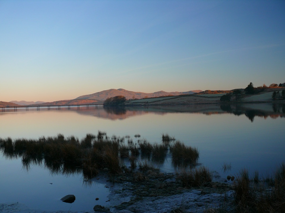 ModerateLlyn Trawsfynydd Circular13.8 km · 4.5 hr · 5 km awayFull circuit of Wales's largest reservoir, with one sharp dam climb
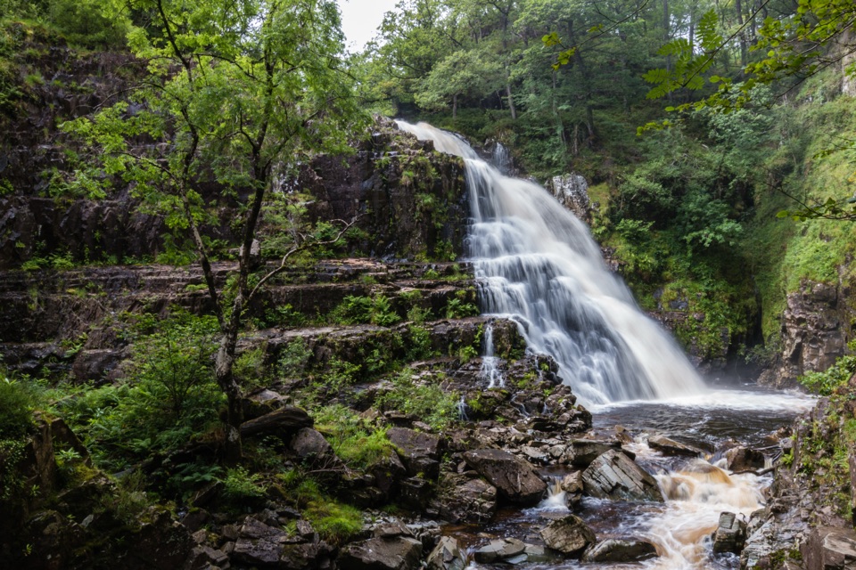 ChallengingGain Waterfall Trail6.8 km · 2 hr · 5 km awaySteep forest loop to twin waterfalls and old Gwynfynydd gold workings
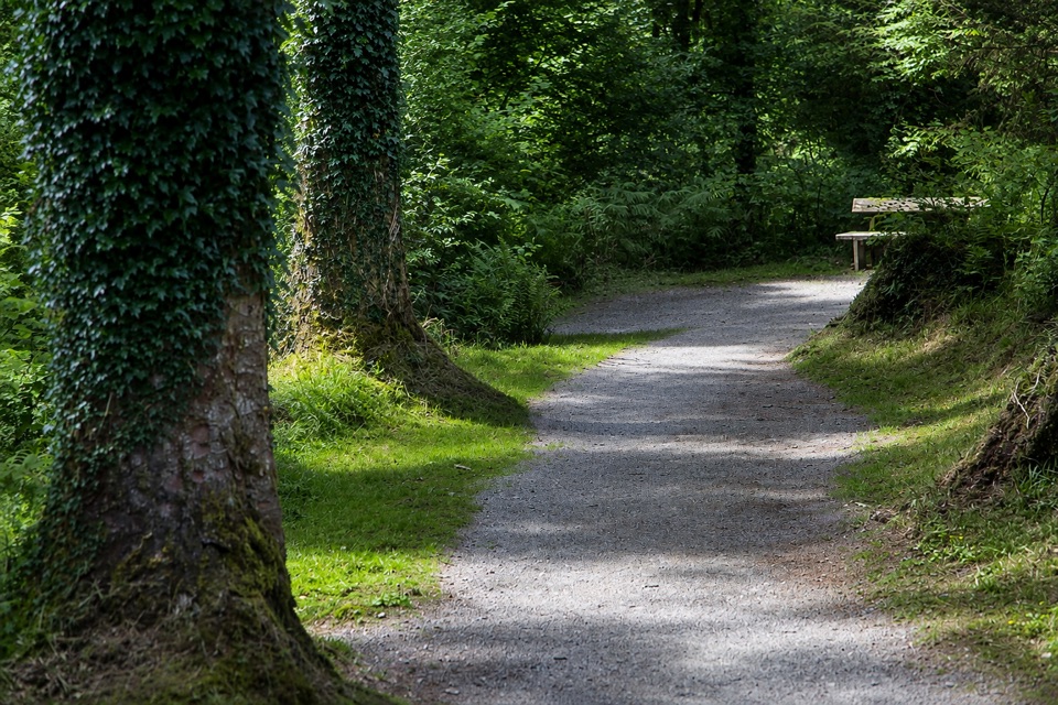 EasyAfon Eden Trail1.6 km · 45 min · 5 km awayA step-free woodland descent to the Afon Eden's rocky picnic spotEasyAfon Eden Trail (Riverside Loop)1.3 km · 45 min · 5 km awayShort yellow-marked riverside loop with one gentle climb back up
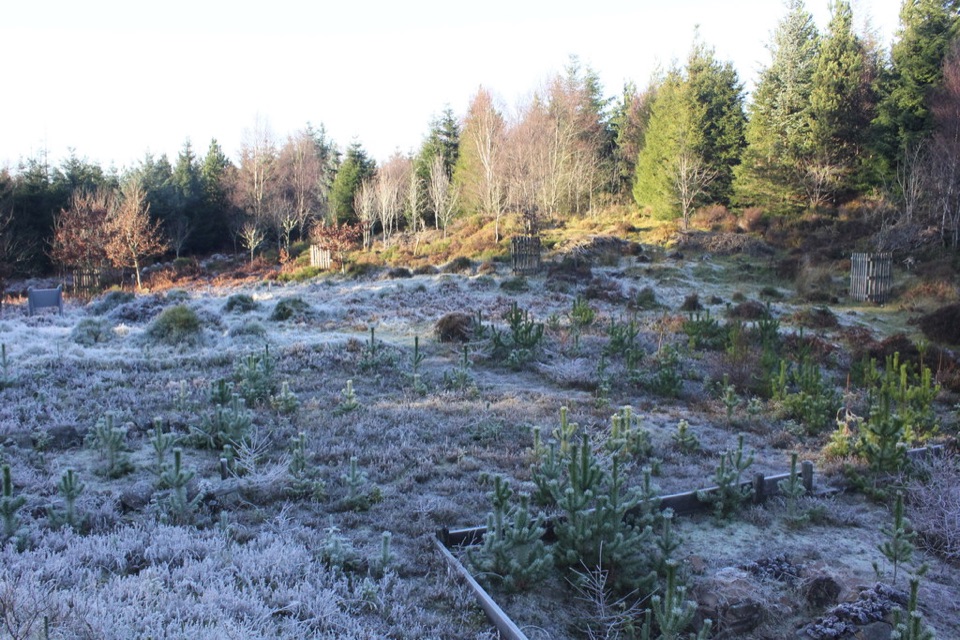 ModerateBloomeries Trail4.5 km · 1.8 hr · 5 km awayClimb forest roads and Sarn Helen to a medieval ironworking site
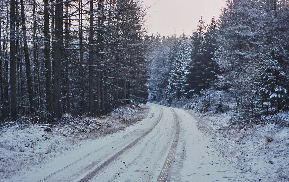 EasyCefndeuddwr Trail1.3 km · 45 min · 5 km awayEasy surfaced loop through boulder woodland to a picnic viewpoint
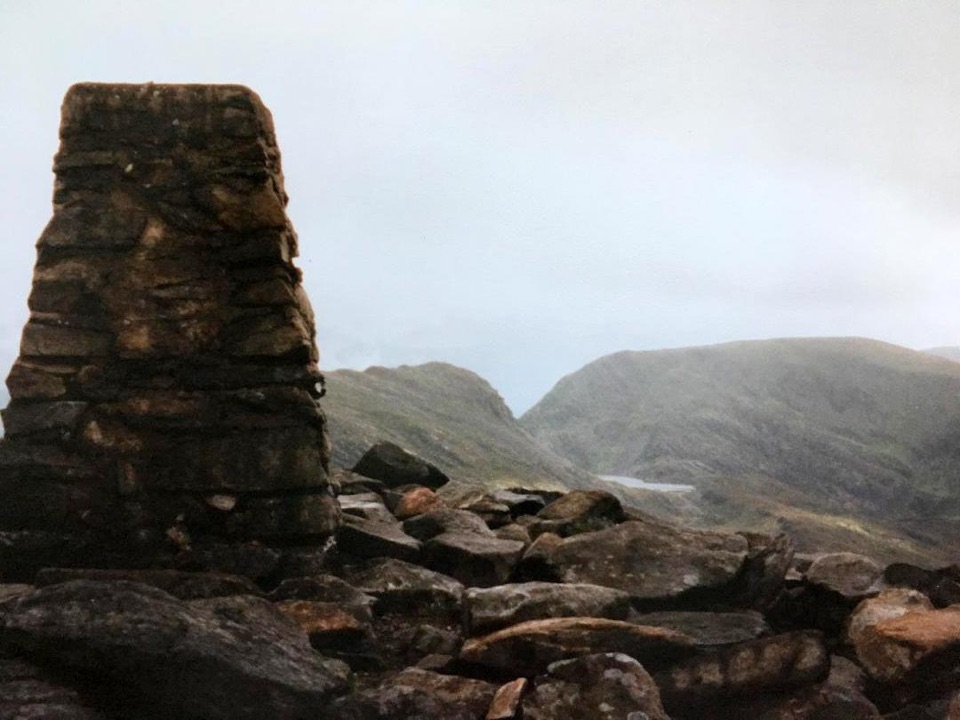 Sight · 2.9 km awayRhinog FawrA rough-edged summit with big views and a wilder feel.
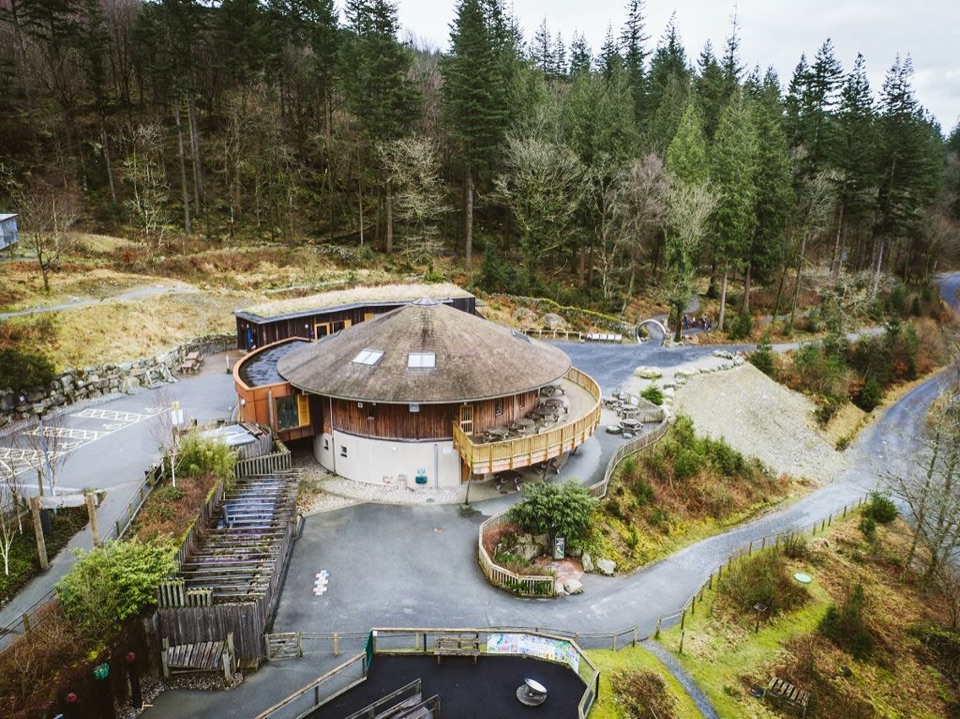 Visitor center · 5.1 km awayCoed y Brenin Visitor CentreBritain’s first purpose-built mountain-bike centre, now a quiet trailheadSight · 5.6 km awayPistyll CainA thunderous forest waterfall reached by an easy-moderate river walk
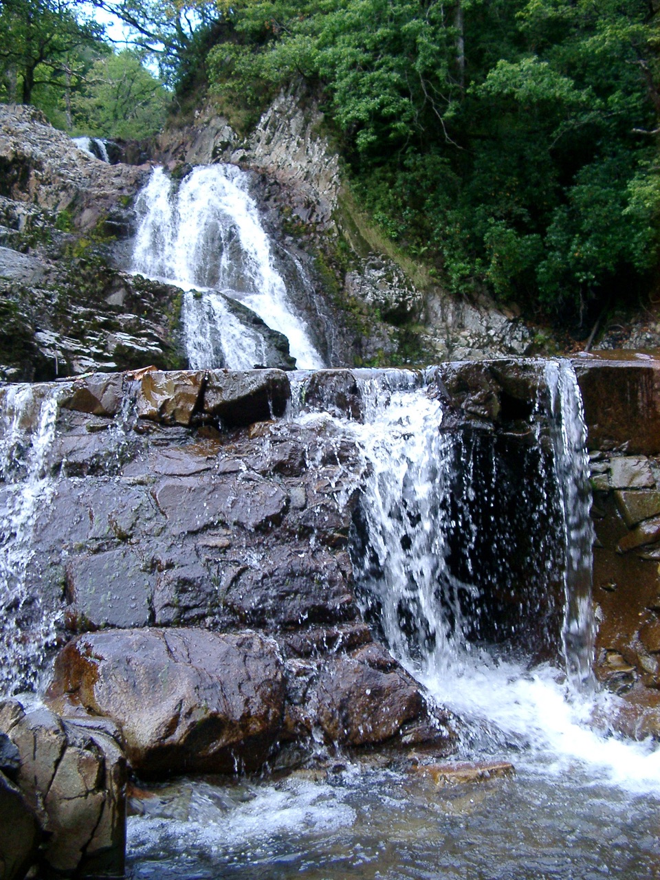 Sight · 5.8 km awayRhaeadr MawddachA rain-fed cascade beside old gold workings in deep woodland
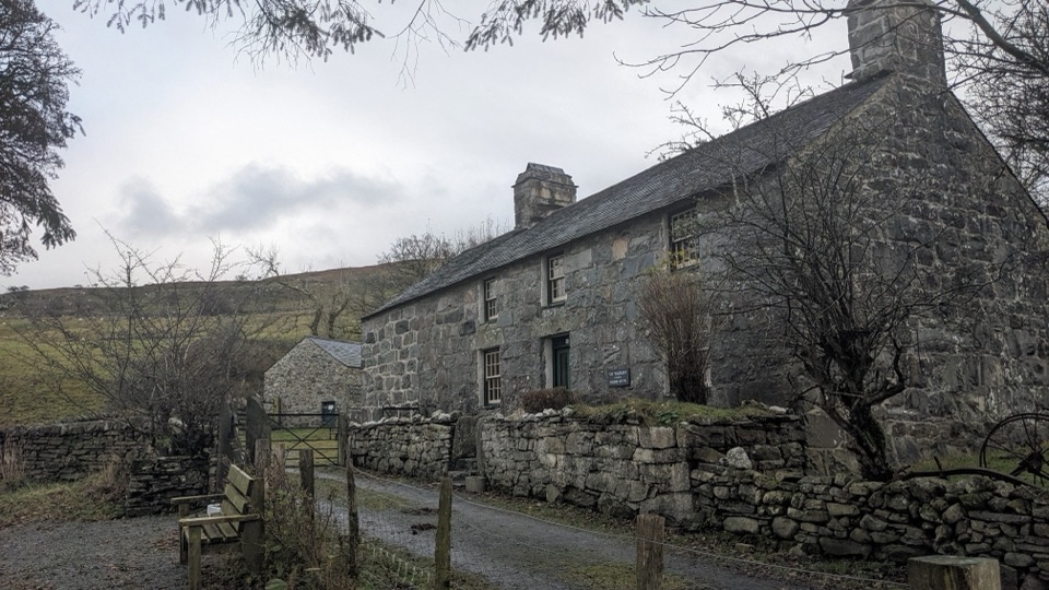 Sight · 5.9 km awayYr YsgwrnA preserved farmhouse where Welsh poetry meets wartime memory
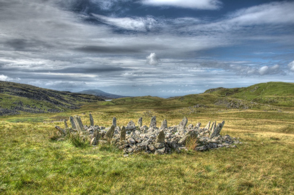 Sight · 6.2 km awayBryn Cader FanerA spiky Bronze Age cairn crowning a lonely Rhinogydd hillside
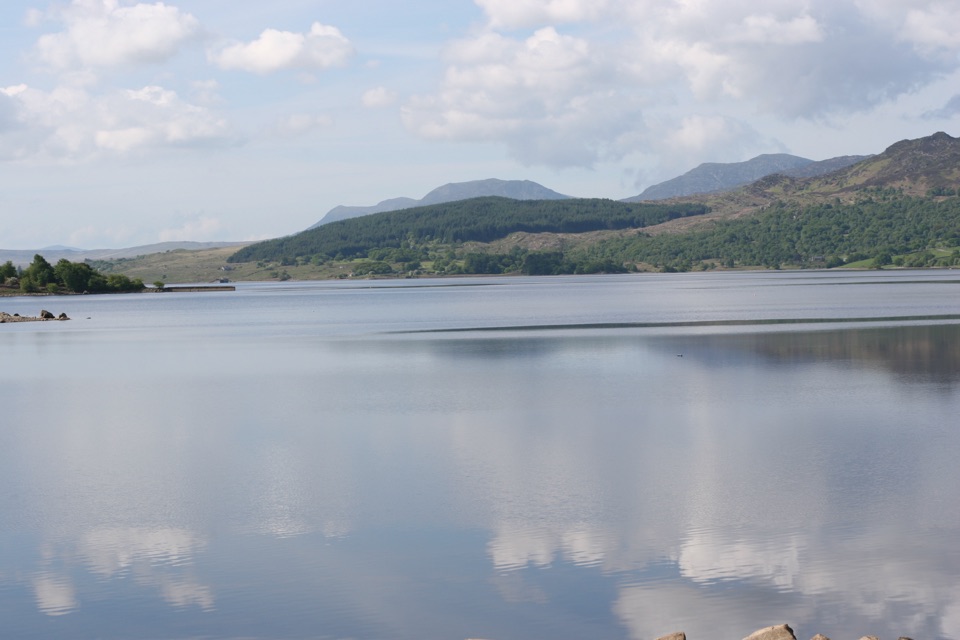 Sight · 6.4 km awayLlyn TrawsfynyddOspreys, wild brown trout and an eight-mile loop around dammed water
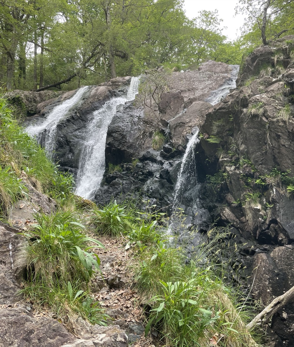 Sight · 6.9 km awayRhaeadr Ddu (Black Falls)Two mossy cascades drop about 60 feet through ancient oak woodland
Parkwolf’s Eryri ranking

The audio tour guide for the drive, plus offline maps, trails, and wildlife heatmaps for when the signal drops.




