Parking
Start and finish at Nantcol Waterfalls Campsite. From Llanbedr, follow the brown signs for the waterfalls and use the campsite parking. Do not assume roadside stopping is permitted.
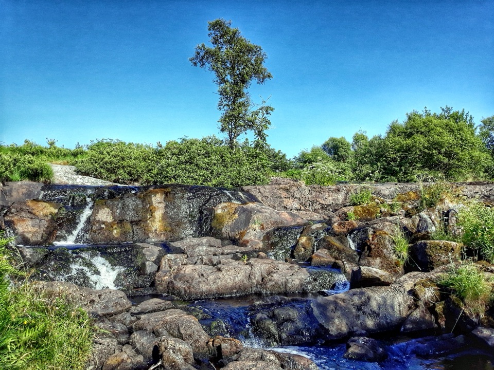
Eryri National Park, WA
Two waterfalls, riverside path and shaded woods on an hour-long loop
Overview
Map & elevation
Plan your hike

The highest, rockiest slopes around here are a summer buffet for grizzly bears.
Eryri Tour Guide
Parkwolf is a GPS audio tour guide for Eryri National Park. As you drive, it chimes in with what’s ahead: hidden gems, upcoming stops, history, geology, and wildlife, right through your car’s speakers.
Recorded for this trailhead
Nantcol Waterfalls“You're approaching Nantcol Waterfalls Campsite, where a short loop visits two falls beside the river.”
Plays as you drive up to this trailhead in the Parkwolf Eryri Tour Guide.
More stories near here in the app
“Fantastic app with many points of information… It’s great to just turn on while you’re driving and it gives you an audio tour of the national Park. We love it!!!!”


Trail guide
A full circular loop of about 2.60 km (1.61 miles), starting and finishing at Nantcol Waterfalls Campsite. That distance is the total loop length measured once around the connected circuit, not an out-and-back figure. Allow about one hour at an ordinary walking pace.
Rated 4/10, easy to moderate for most walkers who are steady on their feet. The complication is not length but surface: some sections are short, steep, muddy and slippery, particularly where the path climbs and where the woodland holds damp. Boots with grip are worth having, and children or anyone unsure of footing will want a hand on the steeper pitches.
The route is waymarked with blue-tipped posts and signage is described as good, so the circuit is straightforward to follow once you know to start southward along the river from the car park.
The first half is riverside, so water is close company for much of the walk. The northward return runs through enclosed woodland, which gives more cover than the open riverside stretch.
This is a short loop and the waterfalls appear within minutes of the car park, so the walk front-loads its best view and the remainder is quieter in interest. Add the steep, muddy pitches and it can feel like more effort than the modest distance suggests, especially if you were hoping for a longer day out. A separate, longer riverside walk from the site toward Llanbedr exists as a different option and is not part of this loop.
Wildlife
 77 sightingsGrey HeronMost seen around 7 AMSighting map
 17 sightingsTawny OwlMost seen around 6 AMSighting map
 32 sightingsCommon RavenMost seen around 8 AMSighting map
 21 sightingsGreat Spotted WoodpeckerMost seen around 7 AMSighting map
 18 sightingsEuropean RabbitMost seen around 7 AMSighting map
 161 sightingsViviparous LizardMost seen around 10 AMSighting map
Sighting maps show where each species has been reported across Eryri. Wildlife moves, so no sighting is guaranteed.
Keep exploring
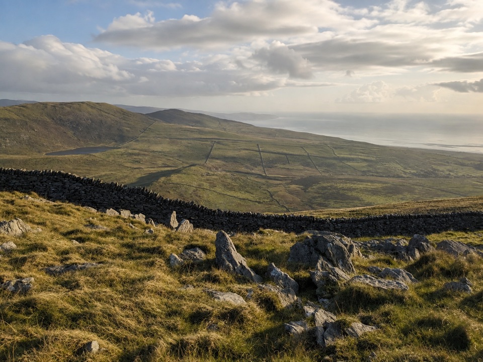 ModerateCraig y Ddinas6.9 km · 2 hr · 4.2 km awayClimb open upland to an Iron Age hillfort on its own rock
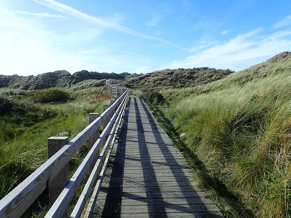 EasyBenar Boardwalk0.6 km · 15 min · 5.6 km awayFlat boardwalk to a Cardigan Bay beach viewpoint, open to all wheels
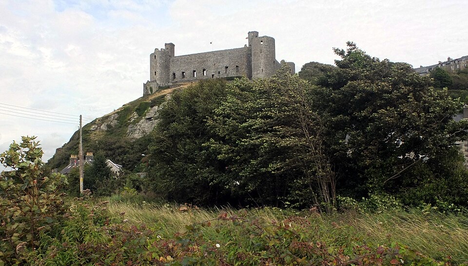 ModerateBranwen Walk5 km · 2 hr · 5.7 km awayBeach, dunes and steps to a castle view, then streets back
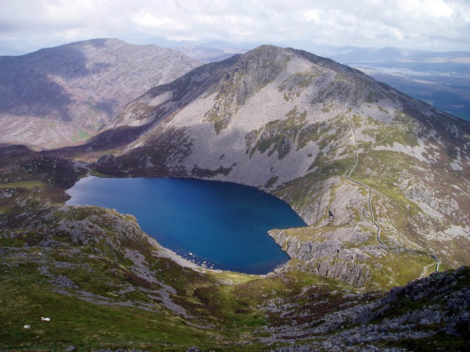 ChallengingRhinog Fach and Y Llethr Circular14.5 km · 6.2 hr · 8.2 km awayTwo rugged summits above dark Llyn Hywel on rough, pathless ground
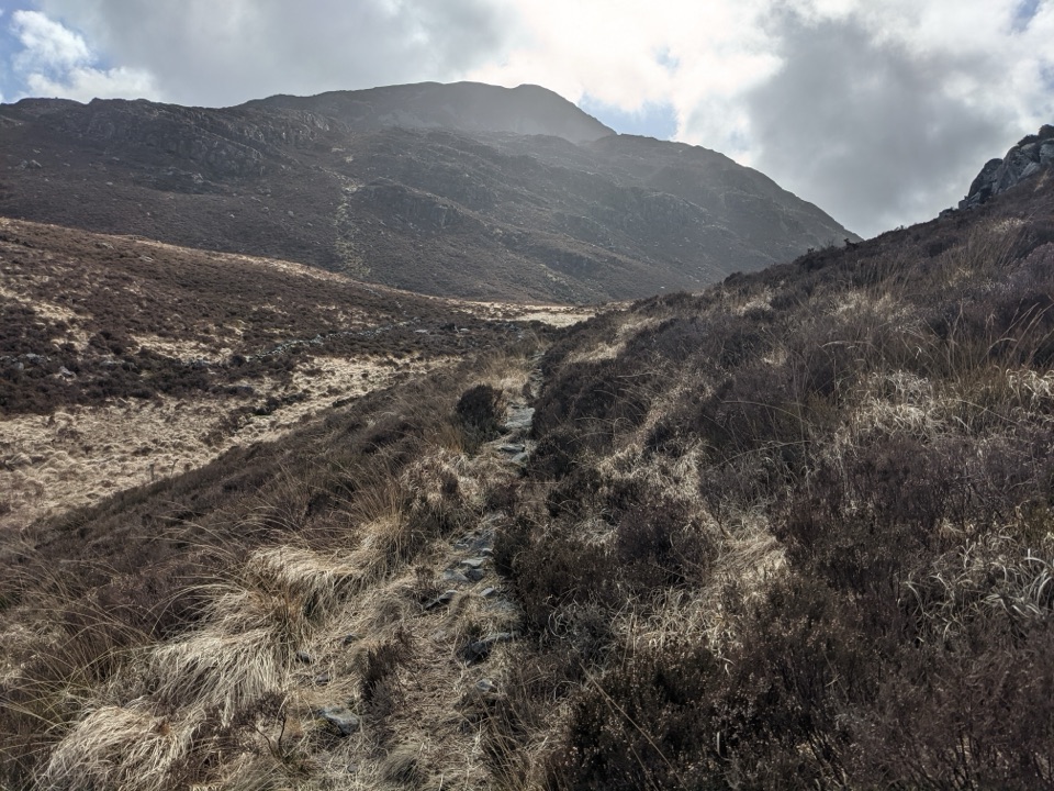 ModerateBwlch Drws Ardudwy6.8 km · 3 hr · 8.2 km awayBoulder-strewn climb to the gap between Rhinog Fawr and Rhinog Fach
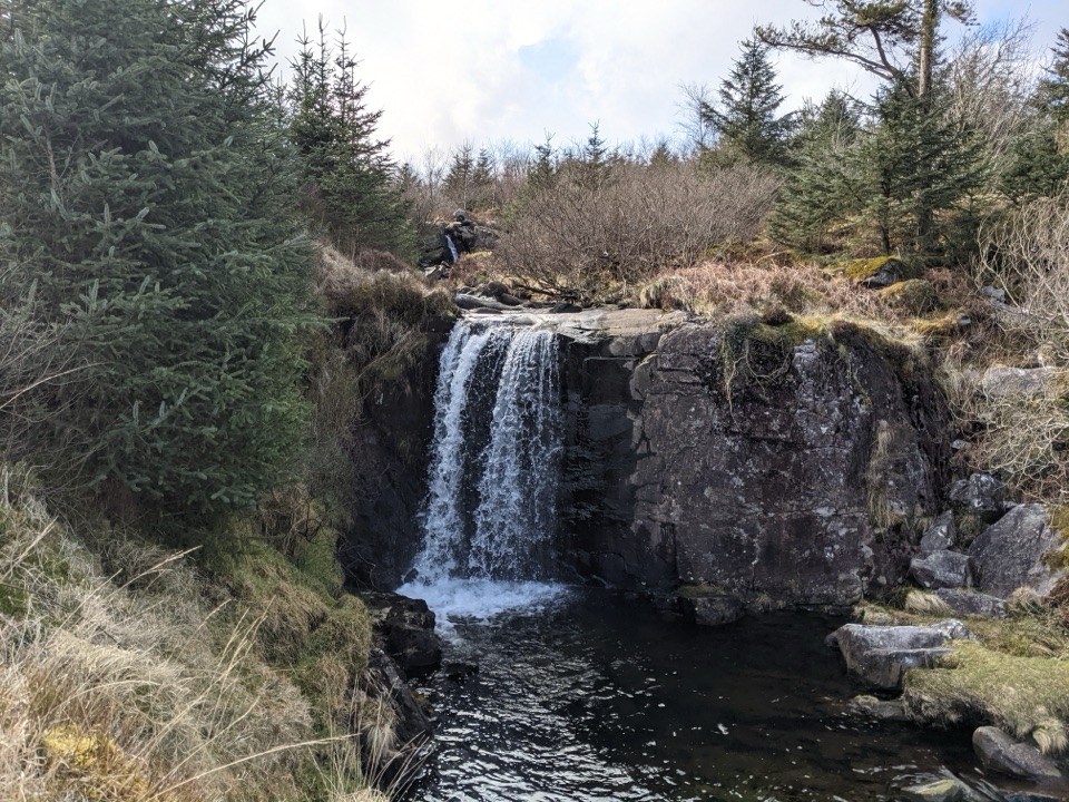 EasyGraigddu Woods5 km · 1 hr · 8.2 km awayQuiet plantation loop to a small waterfall and southern mountain views
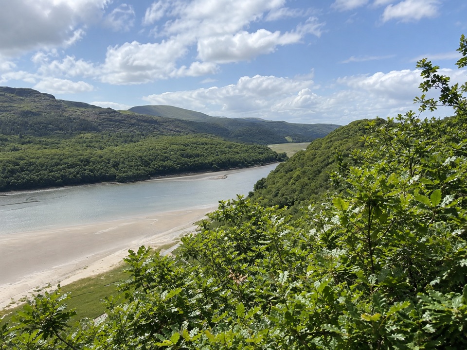 ModerateFarchynys Walk2 km · 1 hr · 9.9 km awayTwo estuary viewpoints on a short woodland circuit above the Mawddach
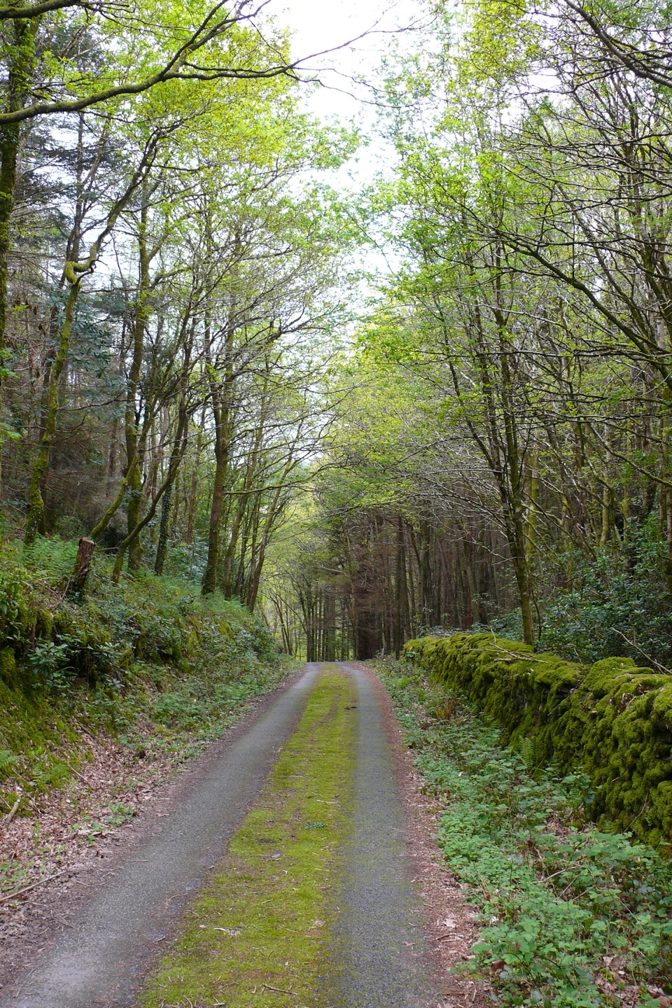 ModerateClogau Trail6.5 km · 3 hr · 10.7 km awayEstuary banks, oak woods and old gold workings on a steady loop
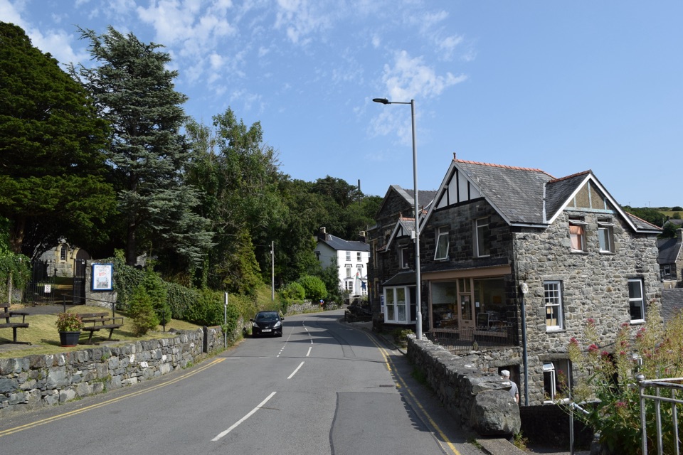 Sight · 4.8 km awayHarlechA steep old town linking castle, coast, and mountain views
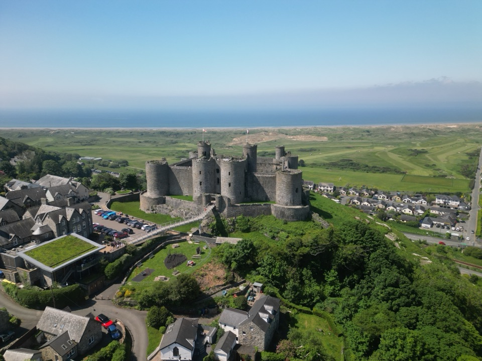 Sight · 5 km awayHarlech CastleA medieval fortress above dunes, sea, and mountain skyline
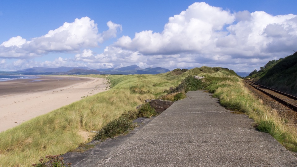 Beach · 5.2 km awayHarlech BeachA huge dune-backed beach with castle and mountain views
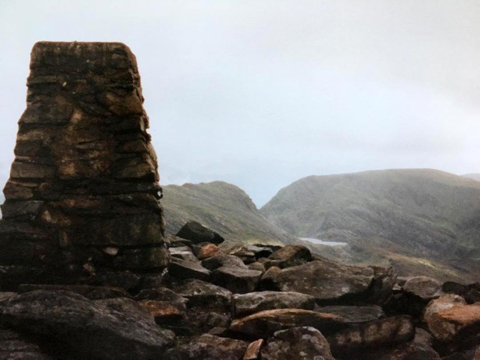 Sight · 5.2 km awayRhinog FawrA rough-edged summit with big views and a wilder feel.
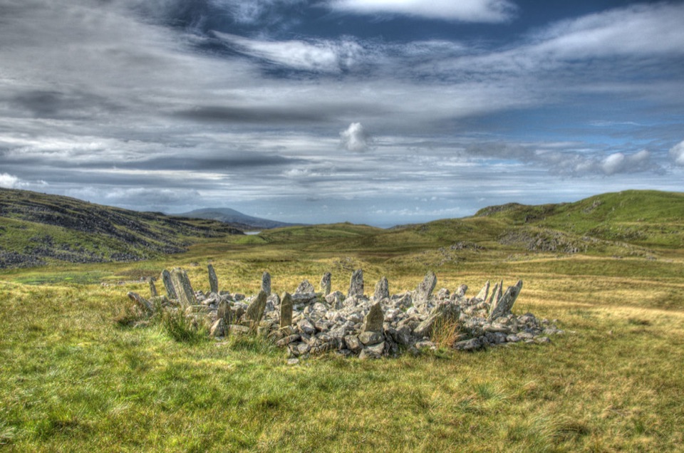 Sight · 9.2 km awayBryn Cader FanerA spiky Bronze Age cairn crowning a lonely Rhinogydd hillside
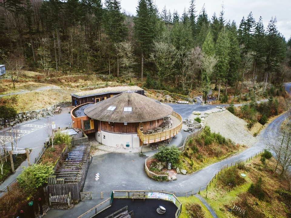 Visitor center · 11.5 km awayCoed y Brenin Visitor CentreBritain’s first purpose-built mountain-bike centre, now a quiet trailhead
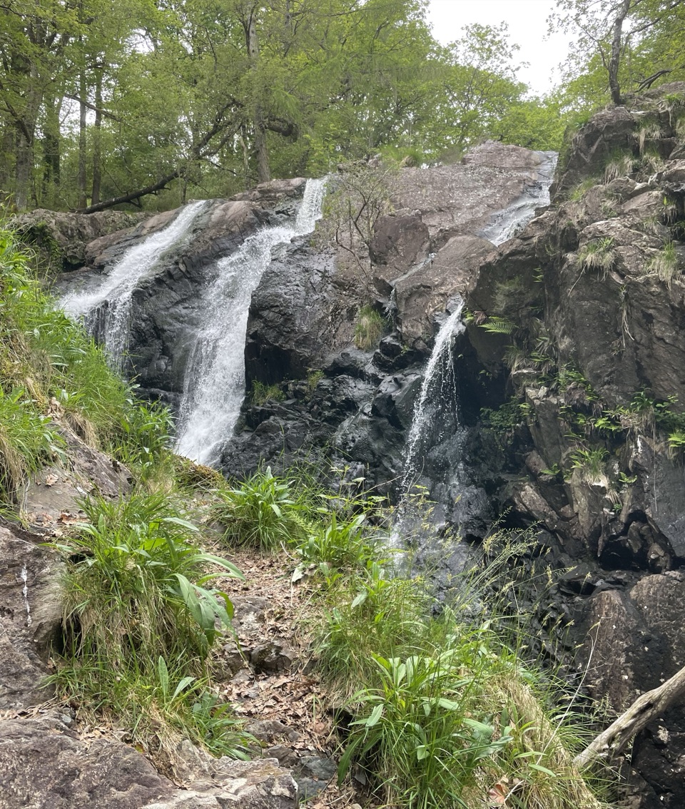 Sight · 11.6 km awayRhaeadr Ddu (Black Falls)Two mossy cascades drop about 60 feet through ancient oak woodland
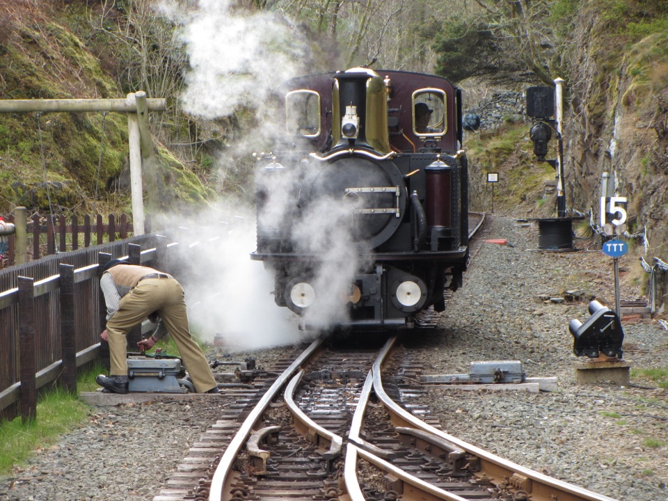 Sight · 11.9 km awayFfestiniog RailwaySteam, slate country, and tight bends on a historic mountain railway
Parkwolf’s Eryri ranking

The audio tour guide for the drive, plus offline maps, trails, and wildlife heatmaps for when the signal drops.




