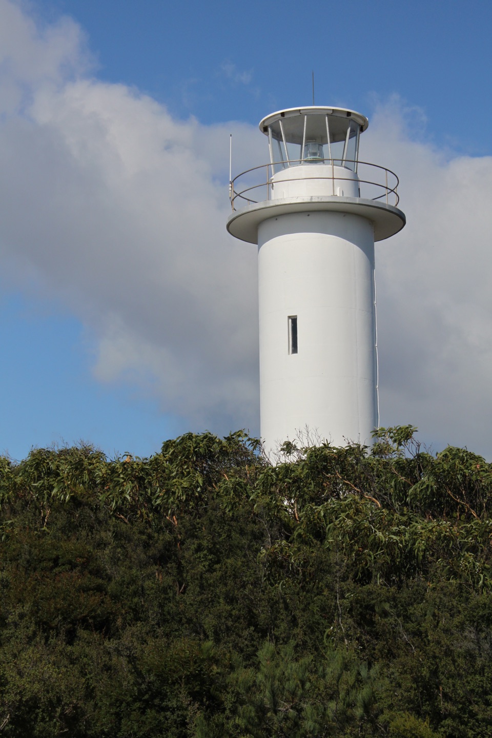
Parking
Start at the Wineglass Bay Walking Tracks Car Park, the signed access for Freycinet’s main walks. The route shares the initial Wineglass Bay approach before branching to Hazards Beach.
#10 of 21 trails in Freycinet
Freycinet National Park, TAS
A remote beach you earn through sand, scrub and granite.
Overview
Map & elevation
Plan your hike

The highest, rockiest slopes around here are a summer buffet for grizzly bears.
Freycinet Tour Guide
Parkwolf is a GPS audio tour guide for Freycinet National Park. As you drive, it chimes in with what’s ahead: hidden gems, upcoming stops, history, geology, and wildlife, right through your car’s speakers.
Recorded for this trailhead
Wineglass Bay Walking Tracks“You're approaching the Wineglass Bay Walking Tracks car park, where the hike to the famous crescent-beach view begins.”
Plays as you drive up to this trailhead in the Parkwolf Freycinet Tour Guide.
More stories near here in the app
“Fantastic app with many points of information… It’s great to just turn on while you’re driving and it gives you an audio tour of the national Park. We love it!!!!”


Trail guide
Cooks Beach Track via Hazards Beach is an out-and-back from the Wineglass Bay Walking Tracks Car Park to the southern Cooks Corner campsite, using the western side of the Freycinet Peninsula Circuit. The full mapped line is 13.85 km each way, or 27.7 km round trip. Published stage distances add to 12 km one way, but the measured line continues to the southern campsite; plan for the longer figure. Allow about nine hours of walking over two days. This is a remote overnight destination, not a quick beach detour or the whole Peninsula Circuit. Entry requires a Tasmanian parks pass. Overnight walkers must register; camping is free and does not require a booking. Dogs are not permitted in Freycinet National Park.
From the car park, follow the first shared stretch of the Wineglass Bay track, then take the Hazards Beach branch. The grade is gentle through dry coastal forest, with breaks in the shade looking across Coles Bay and toward Maria Island. The path drops through sandy coves before opening onto Hazards Beach. The long beach crossing is about 2.5 km on sand, so this is where a loaded pack starts to feel heavier. Stay on firm packed sand below the dune line; nesting birds use the dunes, so don't cut across them.
At the far end of Hazards Beach, follow the Peninsula Track south toward Cooks Beach. The route passes through coastal scrub and tea-tree, with sections of sandy tread and broad pink-tan granite slabs. Openings give views back across Coles Bay toward the Hazards and Mount Mayson. The Isthmus Track heads toward Wineglass Bay; take the Peninsula Track for Cooks Corner. The longer circuit continues beyond Cooks, but this walk turns around at the campsite.
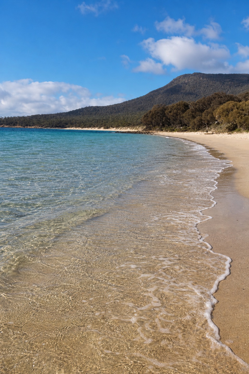
Cooks Beach is a pale, roughly one-kilometre shore with granite outcrops and views across the water to the Hazards. The campsite sits at the southern end among coastal scrub. Cooks Hut is about 100 m inland; its stone section dates to 1859, but the hut is for emergencies, not overnight accommodation. For a photo, include the pale shoreline and a granite outcrop with the Hazards behind them; that gives the beach its sense of scale.
There is a tap at the starting car park and a tank at Cooks Hut, but tank water may not be available. Carry enough water for the route and don't make the campsite tank part of your plan. The walk back retraces the same long route, including the Hazards Beach sand crossing, so leave time and energy for that return.
Wildlife
 27 sightingsWombatMost seen around 7 PMSighting map
 35 sightingsEchidnaMost seen around 6 PMSighting map
 358 sightingsRed-necked WallabyMost seen around 6 PMSighting map
 17 sightingsPademelonMost seen around 7 PMSighting map
 27 sightingsWhite-bellied Sea-EagleMost seen around 5 PMSighting map
 50 sightingsKookaburraMost seen around 7 AMSighting map
Sighting maps show where each species has been reported across Freycinet. Wildlife moves, so no sighting is guaranteed.
Keep exploring
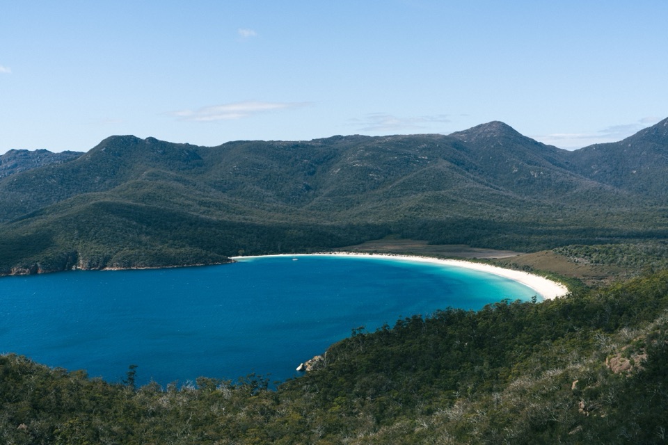 ModerateWineglass Bay Lookout Track2.9 km · 1.3 hr · At the trailheadThe climb ends above Wineglass Bay’s famous white crescent.
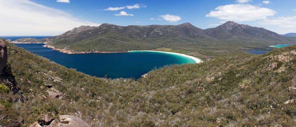 ModerateWineglass Bay Track5.4 km · 2.5 hr · At the trailheadSteep stone steps cross the saddle to a pale crescent of sand.
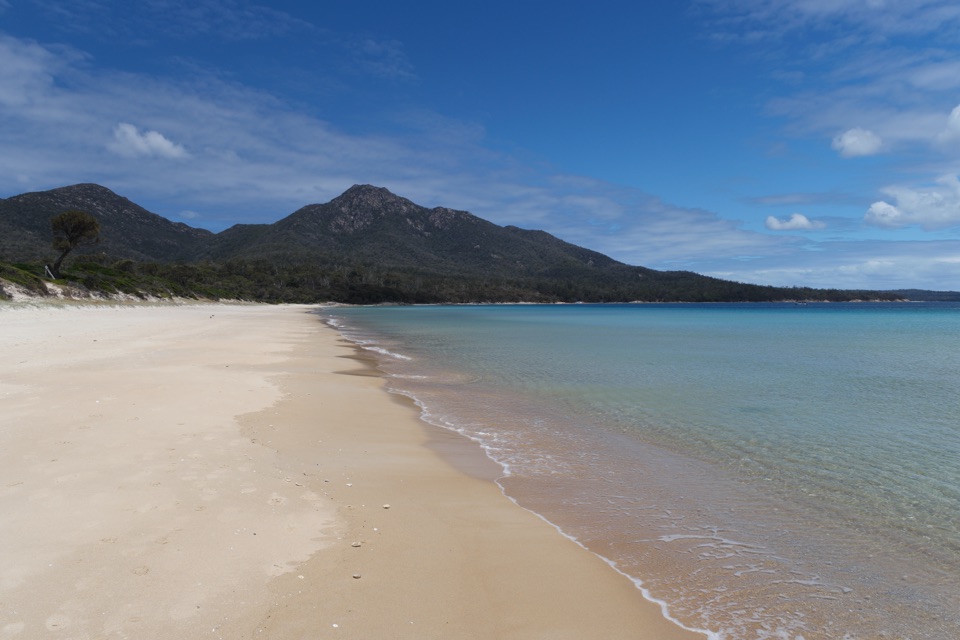 ModerateHazards Beach Track11.4 km · 4.5 hr · At the trailheadA coastal track to the north end of Hazards Beach.
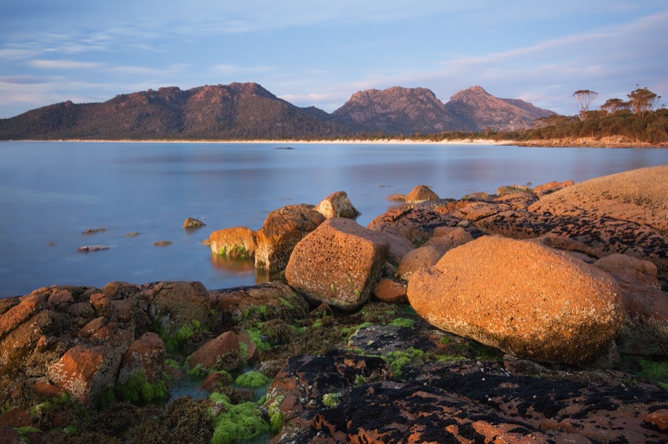 ModerateIsthmus Track to Hazards Beach10.1 km · 4 hr · At the trailheadTwo bays and a steep staircase make a proper half-day walk.
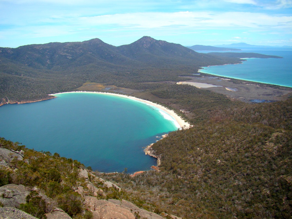 ChallengingMount Amos Track4 km · 3.5 hr · At the trailheadA steep granite scramble with a Wineglass Bay payoff.ChallengingFreycinet Peninsula Circuit28.2 km · 12 hr · At the trailheadA multi-day coastal loop with an inland climb.
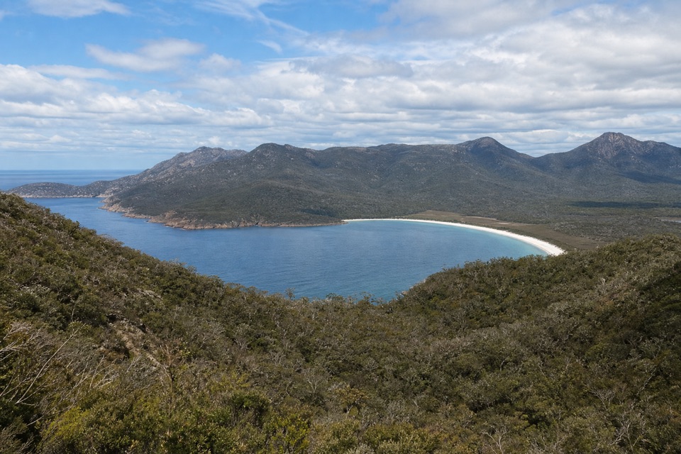 ChallengingMount Graham Summit20.4 km · 9 hr · At the trailheadA long climb from the bay earns views north and south.ChallengingWineglass Bay and Hazards Beach Circuit11.4 km · 4.5 hr · At the trailheadA high bay lookout, two beaches, and a rugged loop in between.
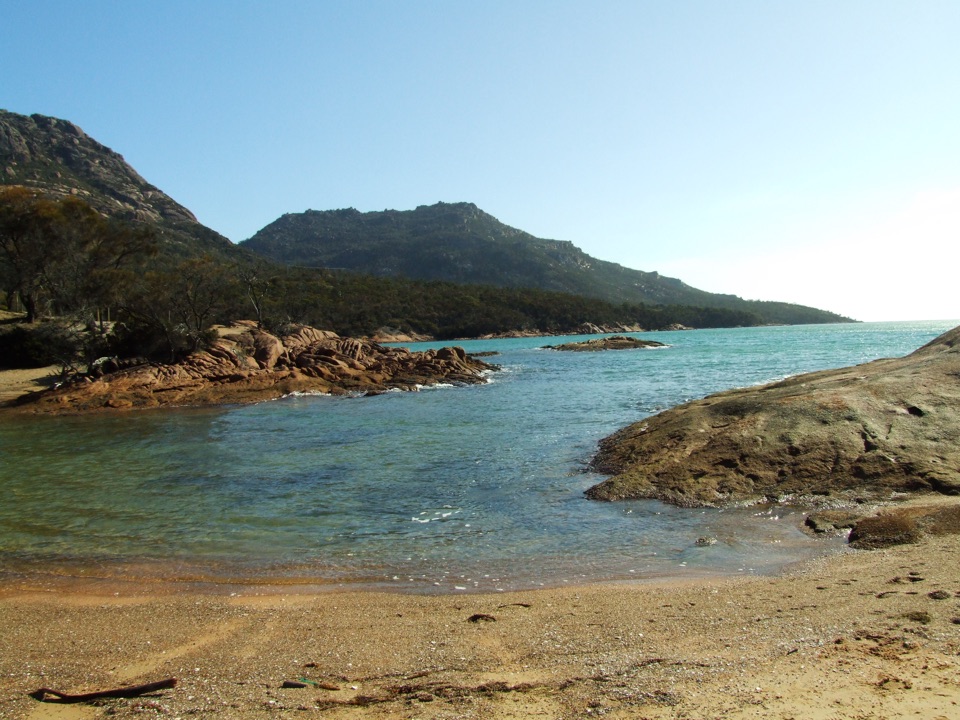 Beach · 1 km awayHoneymoon BayA small cove for quick swims and sunset on the granite rocks.
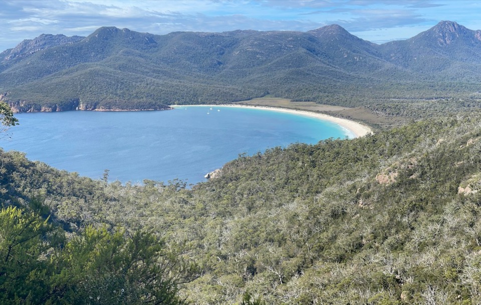 Sight · 1.1 km awayWineglass Bay LookoutThe climb earns you the full curve of Wineglass Bay.
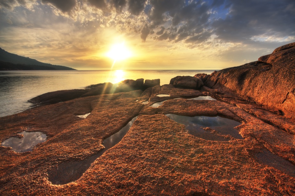 Campground · 1.1 km awayHoneymoon Bay CampgroundA tent camp on a granite knoll above the bay.
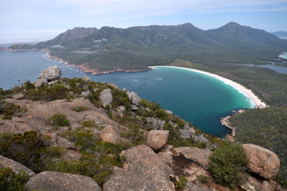 Sight · 1.2 km awayMount AmosA steep granite scramble to a high Wineglass Bay panorama.
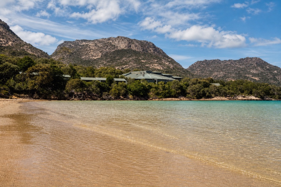 Lodging · 1.6 km awayFreycinet LodgeStay inside the park, with three dining options on site.
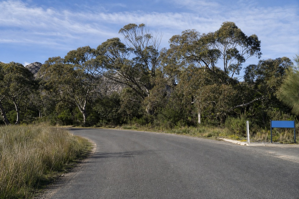 Picnic area · 2.3 km awayRanger Creek Day Use AreaA sheltered picnic stop with BBQs near the park entrance.
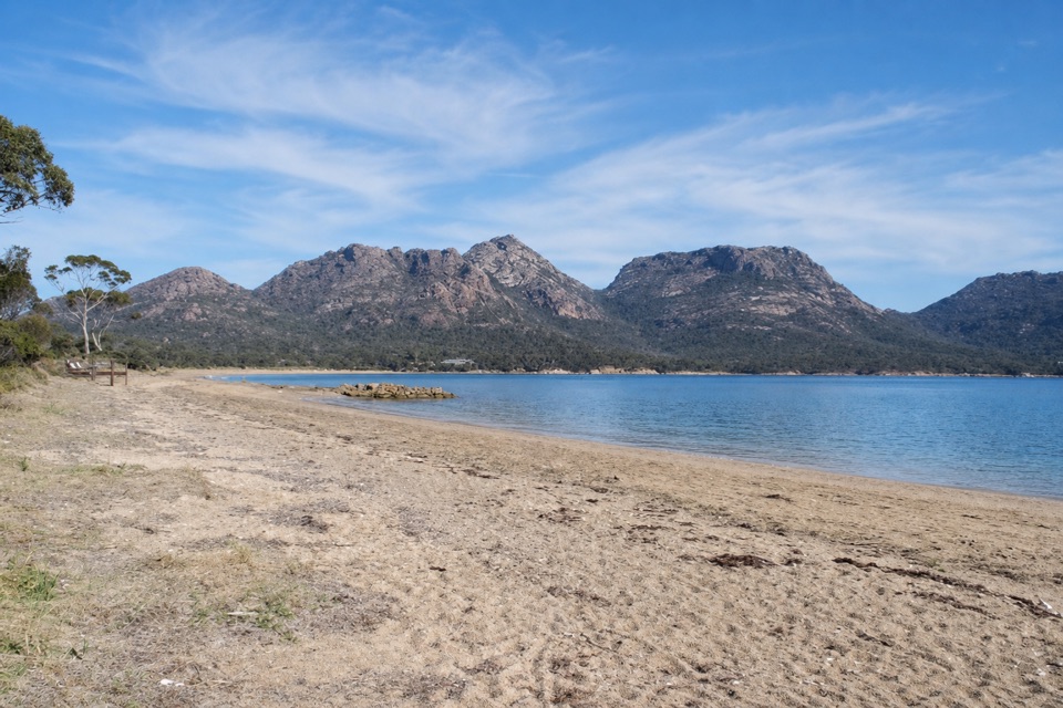 Beach · 2.3 km awayRichardsons BeachEasy beach days with the Hazards rising across the bay.
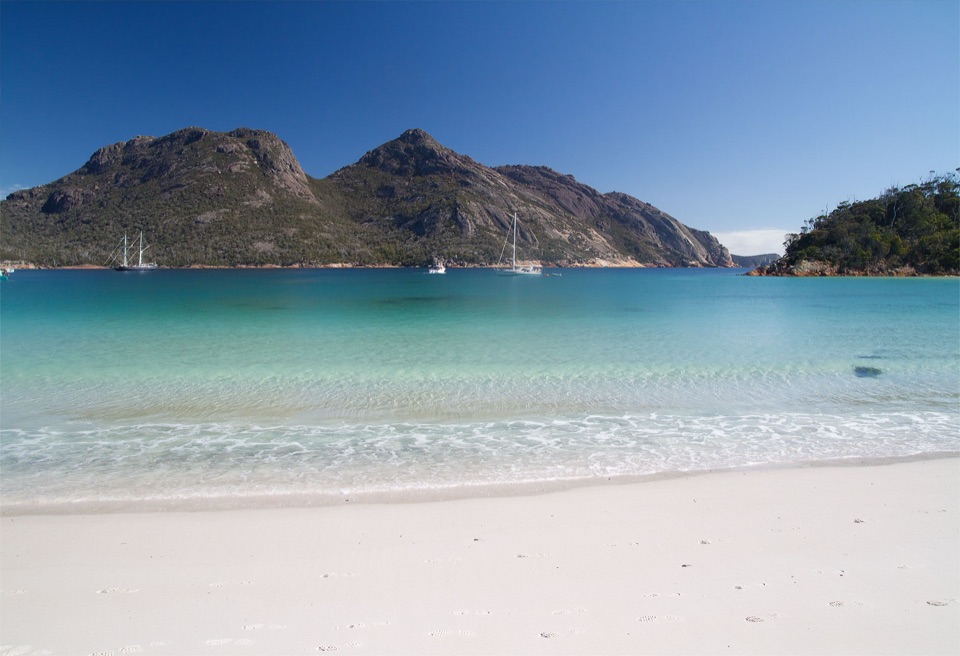 Beach · 2.4 km awayWineglass BayA white-sand crescent below the Hazards, earned on foot.
Parkwolf’s Freycinet ranking

The audio tour guide for the drive, plus offline maps, trails, and wildlife heatmaps for when the signal drops.