Parking
Begin at The Loop Trailhead on Going-to-the-Sun Road, about eight miles west of Logan Pass. Parking is extremely limited; the National Park Service lists a restroom at the trailhead. Access follows the road’s seasonal opening.
Glacier National Park, MT
A steep climb through the 2003 burn to a historic chalet.
Overview
Map & elevation
Plan your hike

The highest, rockiest slopes around here are a summer buffet for grizzly bears.
Glacier Tour Guide
Parkwolf is a GPS audio tour guide for Glacier National Park. As you drive, it chimes in with what’s ahead: hidden gems, upcoming stops, history, geology, and wildlife, right through your car’s speakers.
See the Glacier audio tourRecorded for this trailhead
The Loop and Granite Park Chalet“The Loop is coming up, the only switchback on the west side of Going-to-the-Sun Road. Stop for the view toward Heavens Peak if you can find a parking space.”
Plays as you drive up to this trailhead in the Parkwolf Glacier Tour Guide.
More stories near here in the app
“Our first time to glacier and we used the audio portion for Going to the Sun Road. Wonderful information with perfect advice of what to see and do along the road.”


Trail guide
This is an 8.4-mile out-and-back from The Loop Trailhead to Granite Park Chalet, or 4.2 miles each way. It rises roughly 2,400 feet on a sustained climb; allow about six hours with breaks. The chalet and long mountain views reward a strenuous day, but the mostly exposed ascent is a poor fit for an easy walk.
A footbridge comes early. Near 0.6 mile, stay right at Packer’s Roost for the chalet. The steady climb crosses open slopes and recovering forest; around 2.8 miles, healthier pine forest returns. Near 3.6 miles, pass the spur for Granite Park Backcountry Campground, then reach the Highline junction. Turn left for the chalet rather than continuing along Highline.
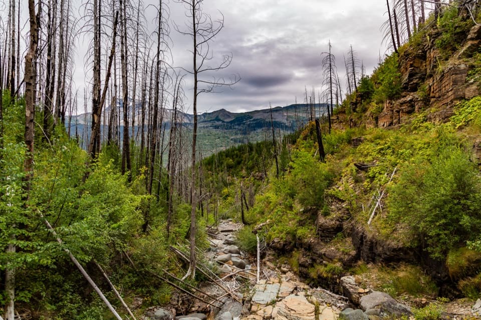
The route crosses slopes burned in the 2003 Trapper Fire. The fire ran from near Flattop Mountain past The Loop toward the chalet; hikers and guests sheltered there while crews worked to save the building. The open burn and its regrowth now frame broad views of Heavens Peak above McDonald Creek valley. Higher up, look toward the Garden Wall and Swiftcurrent Mountain, where a fire lookout stands on the summit.
Granite Park Chalet was built in 1914–15 by the Great Northern Railway, one of its last nine park chalets. Its logs and stone were gathered locally. The chalet is the turnaround, not a summit; its grounds look toward Bear Valley and Heavens Peak. It has no running water, so don’t count on a refill there.
Start at The Loop Trailhead on Going-to-the-Sun Road, about eight miles west of Logan Pass. The parking area is extremely limited; a restroom is listed at the trailhead. Road access is seasonal. Carry enough water for the full hike, and treat stream water if you use it. Pets are not allowed on park trails or in the backcountry.
Wildlife
 404 sightingsGrizzly BearMost seen around 6 AMSighting map
 11 sightingsWolverineMost seen around 8 PMSighting map
 1,173 sightingsMountain GoatMost seen around 6 AMSighting map
 1,000 sightingsBighorn SheepMost seen around 6 AMSighting map
 395 sightingsMooseMost seen around 6 AMSighting map
 506 sightingsBlack BearMost seen around 8 PMSighting map
Sighting maps show where each species has been reported across Glacier. Wildlife moves, so no sighting is guaranteed.
Keep exploring
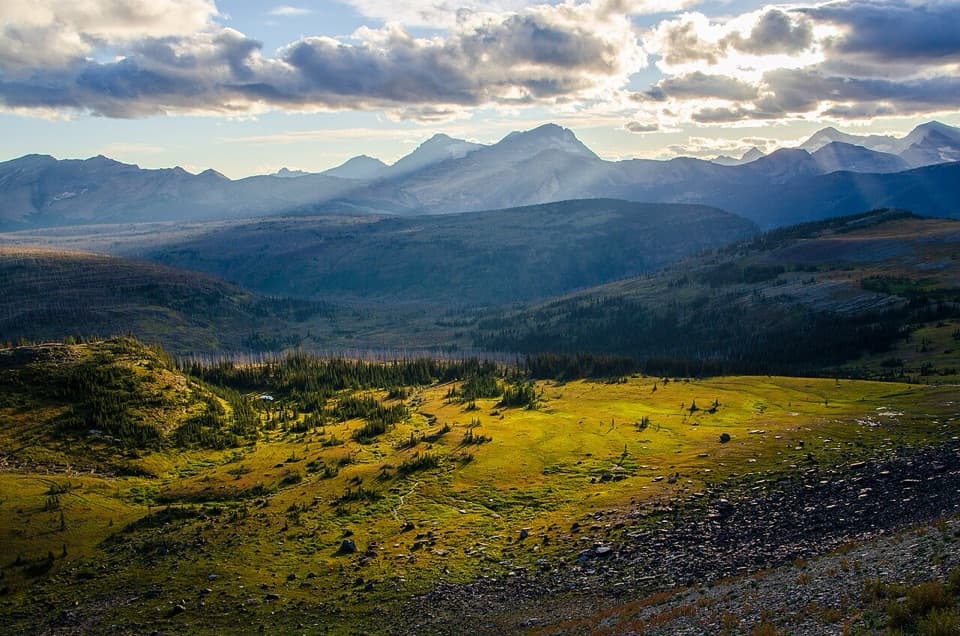 ChallengingFlattop Mountain Trail12 mi · 9 hr · 1.1 mi awayA remote 12-mile crossing from Packer's Roost to Fifty Mountain.ChallengingNorthern Highline Trail11.9 mi · 9 hr · 1.7 mi awayA remote alpine traverse for a multi-day backcountry trip.
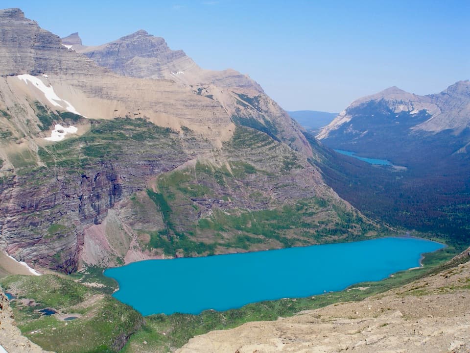 ModerateAhern Pass Overlook Trail0.8 mi · 1 hr · 4.6 mi awayA steep side trip to a high view of Helen Lake.
 EasyTrail of the Cedars0.9 mi · 36 min · 5.2 mi awayA cedar boardwalk with an easy look into Avalanche Gorge.
 ModerateAvalanche Lake Trail5 mi · 4.5 hr · 5.5 mi awayA half-mile of cedars before the big lake payoff.
 EasyGrinnell Lake Trail2.2 mi · 1.5 hr · 5.5 mi awayTwo boat crossings lead to a short walk beneath Grinnell Falls.
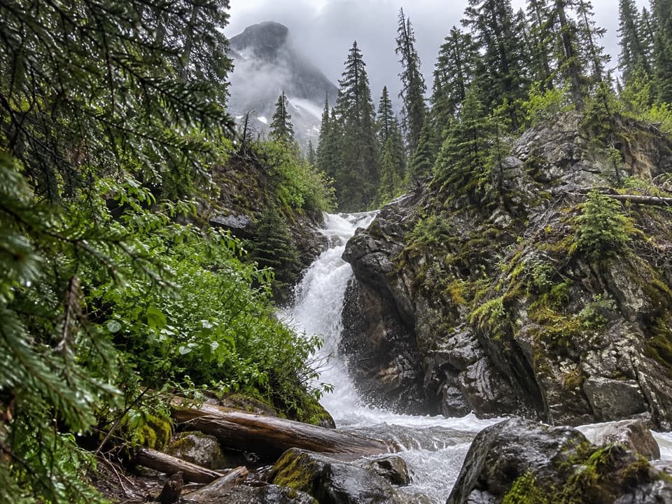 EasyHidden Falls Trail1.9 mi · 1.5 hr · 5.5 mi awayA short, steep spur to a waterfall tucked in a creek gorge.
 ChallengingHighline Trail11.8 mi · 8 hr · 5.5 mi awayA Garden Wall ledge walk with a long, steep finish.
 Sight · At the trailheadThe LoopThe Sun Road's only west-side switchback, framed by Heavens Peak.
 Sight · 0.6 mi awayWest TunnelTwo windows frame Heavens Peak and McDonald Creek from the road.
 Lodging · 1.7 mi awayGranite Park ChaletA rare 1914 chalet worth the hike if you're staying overnight.
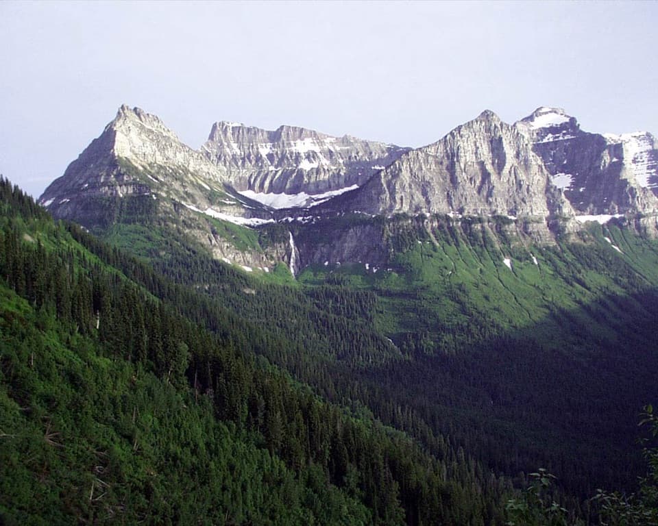 Sight · 2.6 mi awayBird Woman Falls OverlookA 492-foot waterfall framed by a hanging valley.
 Sight · 2.6 mi awayHaystack Creek FallsA waterfall slips beneath the road in a stone-faced culvert.
 Sight · 2.6 mi awayGrinnell Glacier OverlookA steep ridge spur above Grinnell's shrinking glacier.
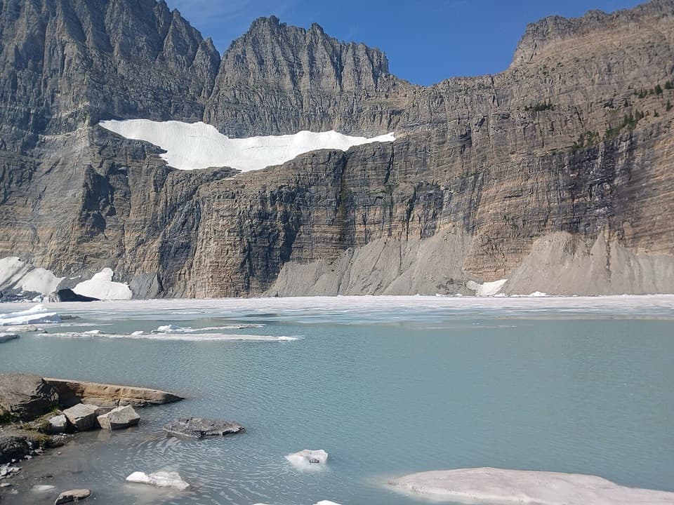 Sight · 3.3 mi awayGrinnell Glacier ViewpointA steep hike ends above turquoise water and a glacier.
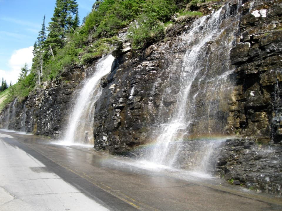 Sight · 3.8 mi awayWeeping WallA snowmelt curtain turns the road into a waterfall pass.
Parkwolf’s Glacier ranking

The audio tour guide for the drive, plus offline maps, trails, and wildlife heatmaps for when the signal drops.


