Parking
There is no parking at Granite Park Chalet or Fifty Mountain. Reach the chalet on foot from Logan Pass or The Loop, and plan the route as part of a backcountry point-to-point trip.
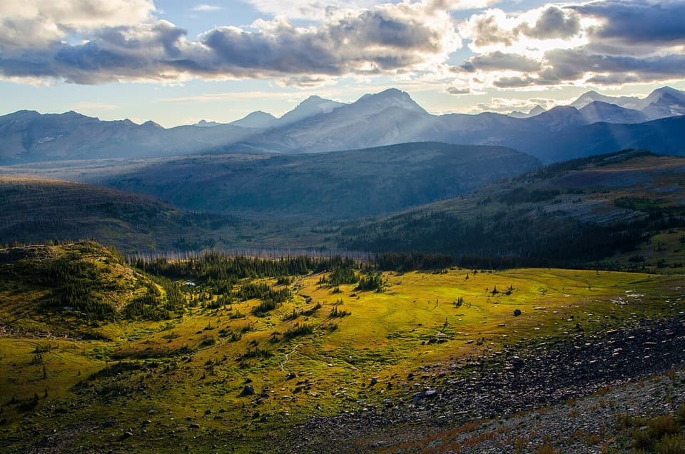
Glacier National Park, MT
A remote alpine traverse for a multi-day backcountry trip.
Overview
Map & elevation
Plan your hike

The highest, rockiest slopes around here are a summer buffet for grizzly bears.
Glacier Tour Guide
Parkwolf is a GPS audio tour guide for Glacier National Park. As you drive, it chimes in with what’s ahead: hidden gems, upcoming stops, history, geology, and wildlife, right through your car’s speakers.
See the Glacier audio tourRecorded for this area
A Marmot's Short Summer“Hoary marmots spend the mountain winter hibernating in burrows. Summer is your chance to see them out among alpine rocks and meadows, eating plants.”
Plays on the road 1.5 mi from the trailhead in the Parkwolf Glacier Tour Guide.
More stories near here in the app
“Our first time to glacier and we used the audio portion for Going to the Sun Road. Wonderful information with perfect advice of what to see and do along the road.”


Trail guide
Northern Highline is an 11.9-mile, one-way route from Granite Park Chalet to Fifty Mountain Backcountry Campground, crossing Glacier's remote high country. It is separate from the famous Highline Trail between Logan Pass and the chalet; starting at Logan Pass adds that approach. Choose this when you already have a multi-day backcountry itinerary and want to continue north beyond Granite Park. It is not a loop or a road-to-road day hike. Budget eight to ten hours for this segment, including breaks, and plan the next leg before you start.
From Granite Park Chalet, continue north. About 0.2 mile beyond the chalet, turn left at the Swiftcurrent Pass Trail junction; at the Granite Park Campground junction, stay right. The route then threads across open slopes beneath Ahern Peak. These junctions matter: following the Highline south returns toward Logan Pass, while the Waterton Valley Trail continues beyond Fifty Mountain.
About a mile before Ahern Pass, the trail crosses the north-facing Ahern Drift. Snow can linger there into August, and it may be icy early or late in the day. A short spur at the pass looks across Helen Lake and Elizabeth Lake toward Pinnacle Wall. From there, the main route drops about 600 feet to Cattle Queen Creek, its low point, then climbs roughly 2,000 feet over about three miles. This sustained climb is the hardest stretch; snow around the drainage can make footing slower.
After the climb, a short spur reaches Sue Lake Overlook, about 7,700 feet up, with Sue Lake below and Cathedral Peak, Mount Kipp and Pyramid Peak on the skyline. The route then descends roughly 750 feet in a mile to Fifty Mountain campground. The campground sits on an alpine shelf with broad views across the Livingston and Lewis ranges. Just after snowmelt, Glacier lilies spread through the meadow. The 1998 Flattop Mountain Fire burned the campground's forest; remnants of subalpine fir and an unfinished stone hiker shelter remain near the meadow's north end.
There is no parking at either end. Reach Granite Park Chalet on foot from Logan Pass or The Loop, then arrange a wilderness itinerary beyond Fifty Mountain rather than counting on a vehicle pickup. Overnighting at the campground requires a wilderness camping permit. Its five sites have a pit toilet, food-preparation area and food hang, but no food service was found, so bring your meals. Pets are not allowed on park trails or in the backcountry. High-country snow and water hazards usually ease by August, but storms can bring them back; check trail and campground status close to your trip.
Wildlife
 404 sightingsGrizzly BearMost seen around 6 AMSighting map
 11 sightingsWolverineMost seen around 8 PMSighting map
 1,173 sightingsMountain GoatMost seen around 6 AMSighting map
 1,000 sightingsBighorn SheepMost seen around 6 AMSighting map
 395 sightingsMooseMost seen around 6 AMSighting map
 506 sightingsBlack BearMost seen around 8 PMSighting map
Sighting maps show where each species has been reported across Glacier. Wildlife moves, so no sighting is guaranteed.
Keep exploring
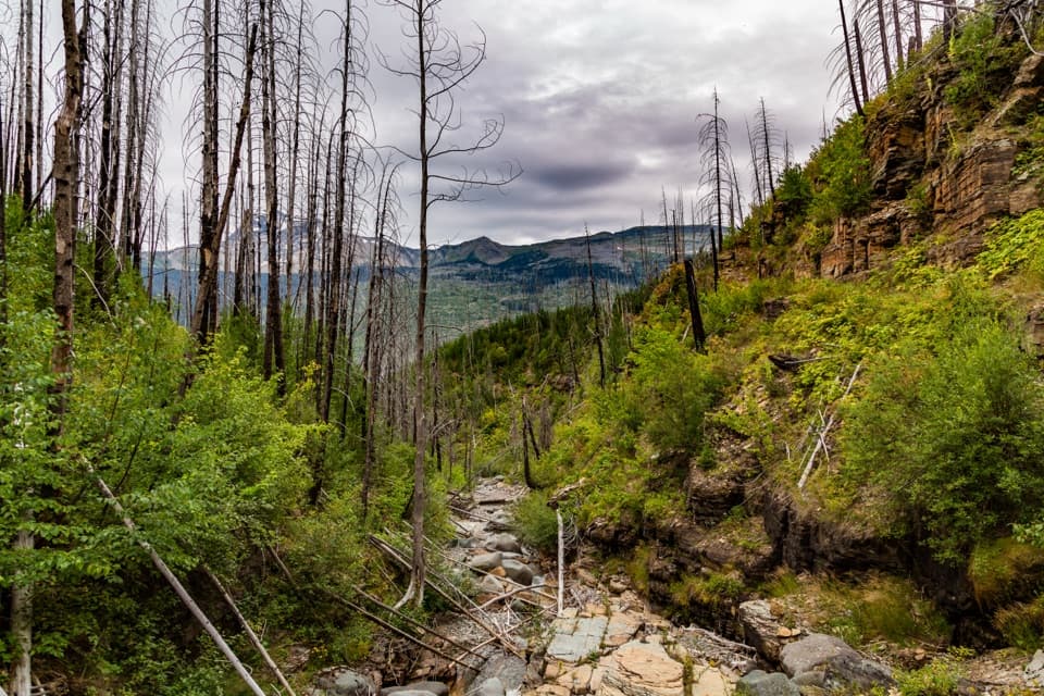 ChallengingGranite Park Trail from The Loop8.4 mi · 6 hr · 1.7 mi awayA steep climb through the 2003 burn to a historic chalet.ChallengingFlattop Mountain Trail12 mi · 9 hr · 1.8 mi awayA remote 12-mile crossing from Packer's Roost to Fifty Mountain.
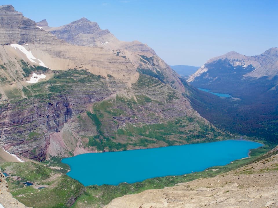 ModerateAhern Pass Overlook Trail0.8 mi · 1 hr · 3.4 mi awayA steep side trip to a high view of Helen Lake.
 EasyGrinnell Lake Trail2.2 mi · 1.5 hr · 4.1 mi awayTwo boat crossings lead to a short walk beneath Grinnell Falls.
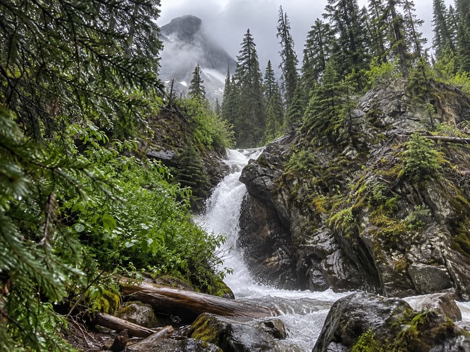 EasyHidden Falls Trail1.9 mi · 1.5 hr · 4.1 mi awayA short, steep spur to a waterfall tucked in a creek gorge.
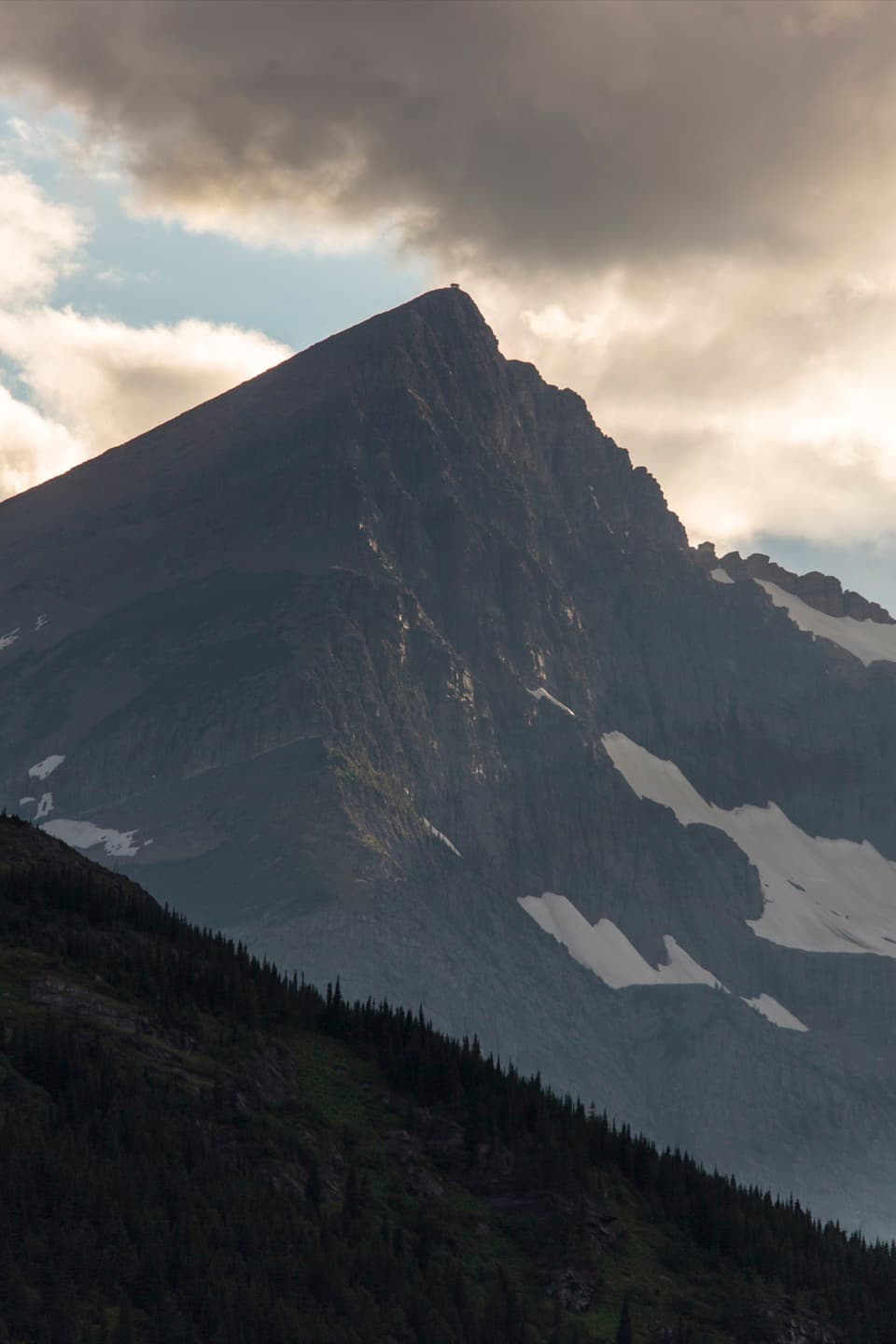 ChallengingSwiftcurrent Lookout Trail16.5 mi · 11 hr · 4.7 mi awayA big Many Glacier day ends at a historic summit lookout.
 ChallengingSwiftcurrent Pass Trail13.6 mi · 8.5 hr · 4.7 mi awayThree lakes first, then a rugged climb to the Continental Divide.
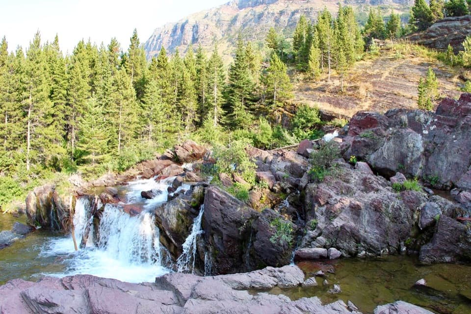 EasyRedrock Falls Trail3.6 mi · 2.3 hr · 4.7 mi awayA gentle lake walk ending at red-rock cascades.
 Lodging · At the trailheadGranite Park ChaletA rare 1914 chalet worth the hike if you're staying overnight.
 Sight · 1.4 mi awayGrinnell Glacier OverlookA steep ridge spur above Grinnell's shrinking glacier.
 Sight · 1.6 mi awayWest TunnelTwo windows frame Heavens Peak and McDonald Creek from the road.
 Sight · 1.7 mi awayThe LoopThe Sun Road's only west-side switchback, framed by Heavens Peak.
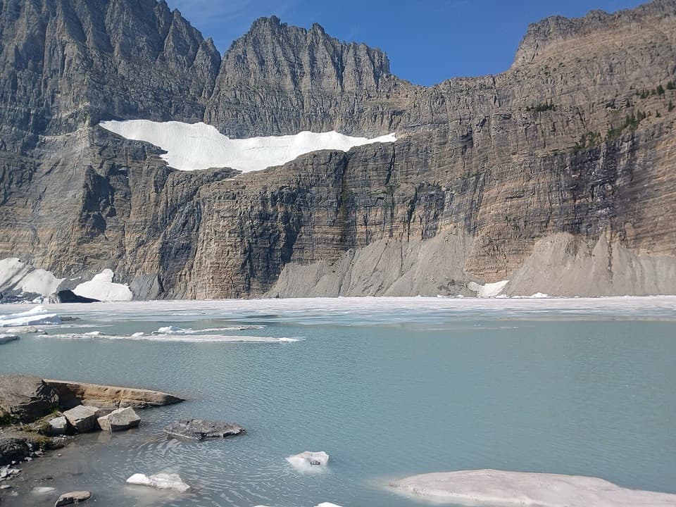 Sight · 2.1 mi awayGrinnell Glacier ViewpointA steep hike ends above turquoise water and a glacier.
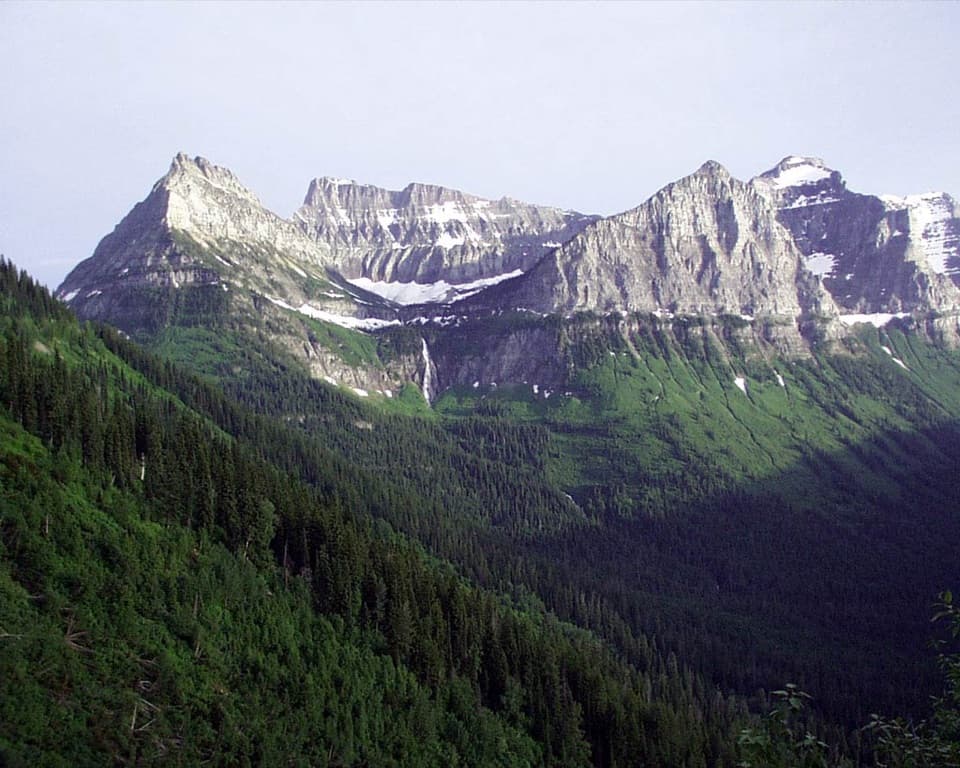 Sight · 2.4 mi awayBird Woman Falls OverlookA 492-foot waterfall framed by a hanging valley.
 Sight · 2.5 mi awayHaystack Creek FallsA waterfall slips beneath the road in a stone-faced culvert.
 Sight · 3.2 mi awayGrinnell LakeTurquoise water in a mountain basin, with a boat shortcut.
Parkwolf’s Glacier ranking

The audio tour guide for the drive, plus offline maps, trails, and wildlife heatmaps for when the signal drops.





