Parking
Use the Coal Creek access on the south side of US 2 between mile markers 169 and 170. An old dirt road leads toward the Middle Fork; park without blocking the road or railroad access.

Glacier National Park, MT
A remote, ford-heavy route through Coal Creek's backcountry.
Overview
Map & elevation
Plan your hike

The highest, rockiest slopes around here are a summer buffet for grizzly bears.
Glacier Tour Guide
Parkwolf is a GPS audio tour guide for Glacier National Park. As you drive, it chimes in with what’s ahead: hidden gems, upcoming stops, history, geology, and wildlife, right through your car’s speakers.
See the Glacier audio tourRecorded for this area
When the Valley Is Colder“A valley can be colder than the slopes above it, especially after a clear, calm night. The ground loses heat, cooling the air touching it.”
Plays on the road 0.6 mi from the trailhead in the Parkwolf Glacier Tour Guide.
More stories near here in the app
“Our first time to glacier and we used the audio portion for Going to the Sun Road. Wonderful information with perfect advice of what to see and do along the road.”


Trail guide
Coal Creek Trail is a 15-mile point-to-point wilderness route from the US 2 access, through Coal Creek valley, to the upper backcountry trail network. It gains about 2,700 feet and drops about 600. Plan around 12 hours on foot, or split the route into a backcountry overnight. This is a hard, remote trail, not a quick day hike. It does not return to the highway: from the upper junction you need to continue on another route or retrace the full distance.
The route begins with a ford of the Middle Fork Flathead River, then enters Coal Creek's valley. The river crossing is unbridged, and the trail keeps crossing Coal Creek as it climbs. The valley floor keeps the grade manageable for stretches, but wet crossings and long distance make the day much harder than the elevation profile alone suggests.
The route passes Coal Creek Campground and the old Coal Creek Patrol Cabin, a useful landmark in this remote valley. Talus slopes near the campground open a view of Mount Saint Nicholas above the trees. If you stop for a photo, keep some of the conifers in the frame; they give the peak a sense of scale.
There are at least five significant Coal Creek fords before the campground, with many more farther along. The lower valley is brushy, and some stretches have sparse maintenance and old trail markers. Early-season snowmelt can make crossings deep, swift, and cold. If you can't find a safe crossing, turn back.
Coal Creek Campground is about 5.7 miles from the US 2 access, making it a clear turnaround for an 11.4-mile out-and-back. That still includes the Middle Fork ford and several creek crossings. Overnight camping in Glacier requires a wilderness permit; the Nyack/Coal Creek zone has designated and at-large camping under park rules. Dogs are not permitted on Glacier trails or in the backcountry.
Wildlife
 404 sightingsGrizzly BearMost seen around 6 AMSighting map
 11 sightingsWolverineMost seen around 8 PMSighting map
 1,173 sightingsMountain GoatMost seen around 6 AMSighting map
 1,000 sightingsBighorn SheepMost seen around 6 AMSighting map
 395 sightingsMooseMost seen around 6 AMSighting map
 506 sightingsBlack BearMost seen around 8 PMSighting map
Sighting maps show where each species has been reported across Glacier. Wildlife moves, so no sighting is guaranteed.
Keep exploring
 ChallengingCoal–Fielding Trail21.4 mi · 14 hr · 0.1 mi awayA remote traverse with long climbs and a serious river ford.
 ChallengingLoneman Lookout Trail14.8 mi · 9 hr · 4.1 mi awayTwo fords, a burn shelf, and a rarely seen lookout above Nyack.
 ChallengingNyack Creek–Coal Creek Loop42.4 mi · 1.3 days · 4.1 mi awayA rough 42-mile loop over Surprise Pass with repeated river fords.ChallengingNyack Creek Trail18.3 mi · 14 hr · 4.4 mi awayAn 18-mile backcountry corridor with serious river crossings.
 ModerateHarrison Lake Trail9.8 mi · 6.5 hr · 8.4 mi awayA remote lake walk reached by an unbridged river ford.
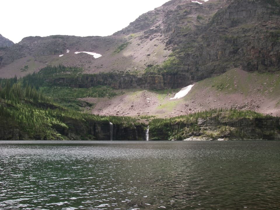 ModerateMartha's Basin Trail4.4 mi · 3 hr · 8.8 mi awayTwo alpine lakes reward a serious backcountry approach.
 ModeratePark Creek Trail11.5 mi · 7 hr · 8.8 mi awayA gradual creekside route into Glacier’s remote Park Creek valley.
 ModerateLincoln Creek Trail6.7 mi · 4.5 hr · 9.6 mi awayA remote creek connector with three fords and open burn views.
Parkwolf’s Glacier ranking

The audio tour guide for the drive, plus offline maps, trails, and wildlife heatmaps for when the signal drops.





