Loneman Lookout Trail in Glacier National Park

Glacier National Park, MT

Loneman Lookout Trail

Two fords, a burn shelf, and a rarely seen lookout above Nyack.

Photo: Wikimedia Commons
Length
14.8mi
Time
9hr
Elev. change
3,786ft
Difficulty
Challenging
  • No dogs
  • High point 7,139 ft

Hear the audio tour

The Insect That Dents the Water

Overview

About Loneman Lookout Trail

Why go

  • A working summit lookout above the remote Nyack and Harrison valleys
  • The Nyack Cabin and barn add a brief history stop on the approach

Heads up

  • A cold, unbridged Middle Fork ford plus a second ford at Nyack Creek
  • The steep approach and easy-to-miss Loneman branch demand attention

Map & elevation

The route

Loading the Glacier map
Full map
Elevation3,353–7,139 ft
TrailheadNyack Crossing (mapped trail start at the Middle Fork)48.43560, -113.79842
Keep this map with you offline in the Parkwolf app

Plan your hike

Before you go

Parking

From U.S. 2 between mile markers 164 and 165, take the railroad access road on the north side. At the tracks, turn right and continue about 0.2 mile to the small roadside parking area by the Nyack Crossing trail sign. Do not block the road. The route begins with an unbridged Middle Fork crossing.


Safety

The Middle Fork Flathead River and Nyack Creek crossings are unbridged; the Middle Fork ford location shifts with water flow, and park guidance warns unbridged crossings can be swift, cold and dangerous. Get current crossing guidance from park staff and proceed only with suitable river-crossing experience. The uphill Loneman junction is subtle, the climb is strenuous, and dogs are prohibited on park trails.

1 active Glacier alert

  • ClosureTwo Medicine Campground closed for 2026 constructionTwo Medicine Campground is closed throughout 2026 because of construction in the Two Medicine developed area.Official details
Glacier alerts
A park ranger sits on a dash-mounted phone, talking, as Parkwolf’s Tour Guide plays “Army Cutworm Moths: A Grizzly Bear Buffet” on Grand Loop Road below Dunraven Pass in Yellowstone
Parkwolf Tour GuideThe highest, rockiest slopes around here are a summer buffet for grizzly bears.

Glacier Tour Guide

Your drive to Loneman Lookout Trail, narrated.

Parkwolf is a GPS audio tour guide for Glacier National Park. As you drive, it chimes in with what’s ahead: hidden gems, upcoming stops, history, geology, and wildlife, right through your car’s speakers.

See the Glacier audio tour

Recorded for this area

The Insect That Dents the Water
0:00 / 0:31
“If you spot an insect skating across a quiet pool, it may be a water strider. Its long legs spread its weight, while tiny grooved hairs trap air and help repel water.”

Plays on the road 0.7 mi from the trailhead in the Parkwolf Glacier Tour Guide.

More stories near here in the app

  • A Roof for the Railway
  • When a Lake Mixes from Top to Bottom
  • The Weak Layer Under the Snow
  • When the Valley Is Colder
  • 204 audio storiesacross Glacier’s roads, triggered by GPS as you drive
  • Wildlife heatmapsfor Grizzly Bear, Wolverine, Mountain Goat, and 13 more
  • Works offlinemaps, 157 trails, 91 places, and audio download before you lose signal
  • CarPlay readysimple controls built for the drive
★★★★★
“Our first time to glacier and we used the audio portion for Going to the Sun Road. Wonderful information with perfect advice of what to see and do along the road.”
PaisleyParkFanApp Store review
Download Parkwolf on the App StoreGet Parkwolf on Google Play

4.7 from 8,600+ ratings

Trail guide

Hiking Loneman Lookout Trail

A full-day climb to a working lookoutLoneman Lookout Trail is a remote out-and-back from Nyack Crossing to the fire lookout on…

Loneman Lookout Trail is a remote out-and-back from Nyack Crossing to the fire lookout on Loneman Mountain. Plan on about 14.8 miles round trip and 3,900 feet of climbing, and budget around nine hours. Published distances vary by a few tenths; the longer figure includes the Boundary Trail approach from the Middle Fork crossing. This is a hard day for hikers comfortable with sustained climbing and serious river fords. The lookout and its rarely seen panorama are the payoff. Ask park staff where the current Middle Fork ford is and whether conditions make it passable before deciding to go.

The approach is part of the hikeThe route starts at Nyack Crossing off U.S. 2.

The route starts at Nyack Crossing off U.S. 2. After the Middle Fork ford, look for the trail sign and follow the Boundary Trail. Around 0.6 mile in, the path passes the Nyack Cabin and barn, remnants of the Nyack Ranger Station Historic District; the cabin dates to 1928 and the barn to 1935. At roughly mile 1.3, ford Nyack Creek and climb its steep bank. Keep left at the nearby junction, then watch for the Loneman branch around mile 2: it climbs uphill to the right and may be unsigned. Miss it and the Boundary Trail continues toward West Glacier.

The burn shelf comes before the steep workThe Loneman branch climbs through an old burn where a few mature larches stand among young…

The Loneman branch climbs through an old burn where a few mature larches stand among young larch and lodgepole pine, with remnants of older trees. It reaches a relatively level shelf with the lookout visible ahead, then the sustained climb begins. Switchbacks ease the west-slope ascent, but the trail gains about 3,100 feet in less than five miles; the shelf is only a short breather.

Around the mountain to the summitThe trail crosses a ridge to Loneman Mountain’s south slope, where Nyack Creek Valley,…

The trail crosses a ridge to Loneman Mountain’s south slope, where Nyack Creek Valley, Threetops, Threesuns and Mount Stimson open below; Mount Saint Nicholas is farther south. It then wraps around the north slope just under the summit for views toward Harrison Lake, Mount Jackson and a sliver of Harrison Glacier. At the top, look south toward Great Northern Mountain and Stanton Glacier and east into the Nyack basin. The lookout deck is for the resident’s use; ask before climbing its outside stairs. For a photo, keep the dark lookout in the foreground with the ridgelines behind it.

Wildlife

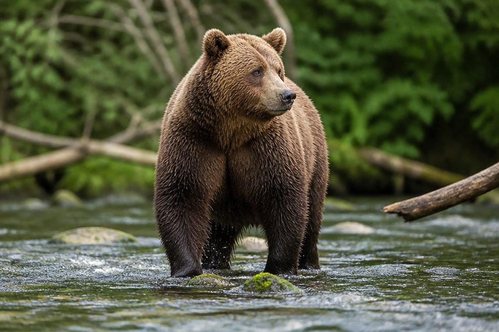
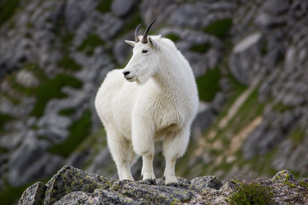
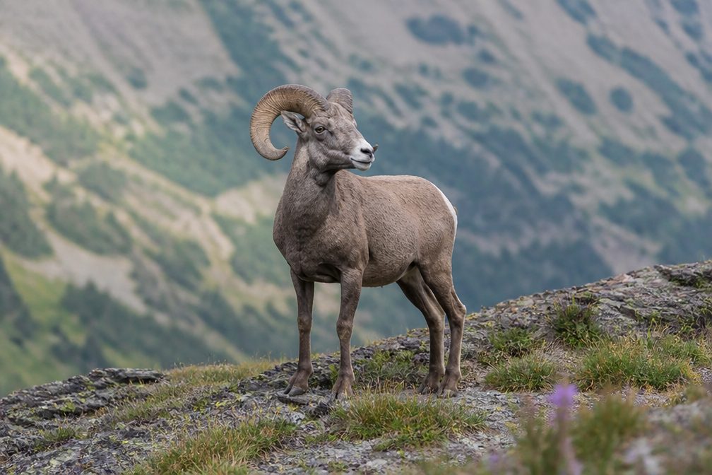
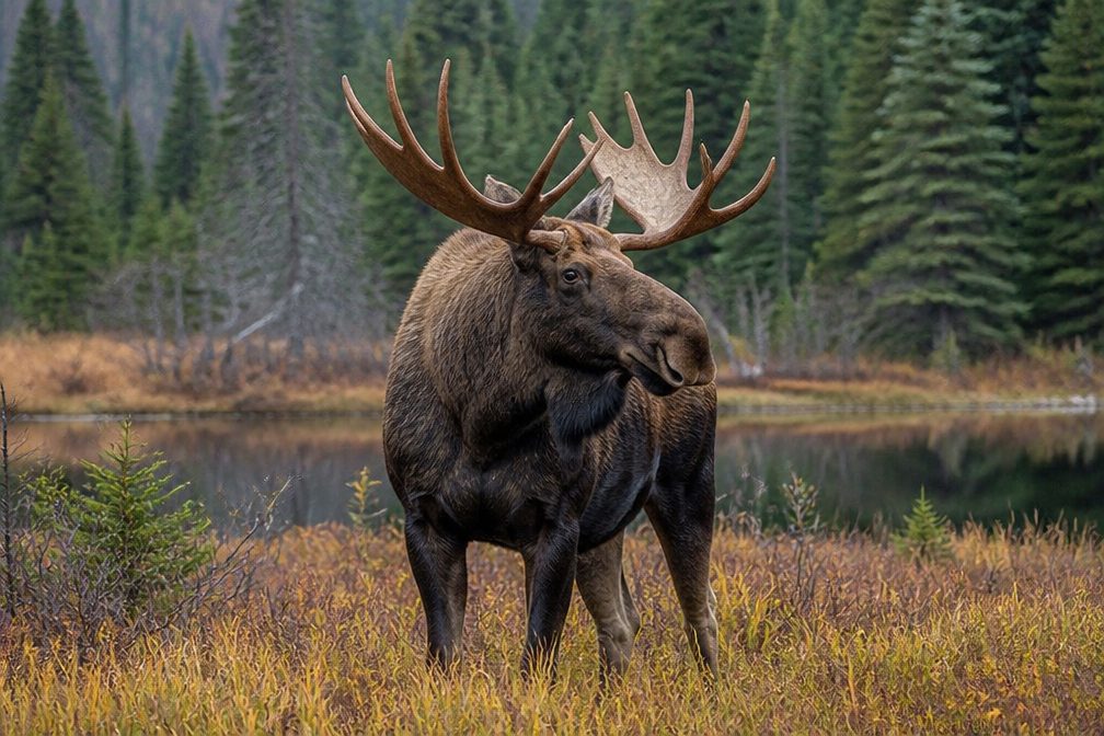
Wildlife in Glacier

All Glacier wildlife maps

Sighting maps show where each species has been reported across Glacier. Wildlife moves, so no sighting is guaranteed.

Parkwolf’s Glacier ranking

Top-rated trails in Glacier

All 157 trails
  1. 1Highline TrailChallenging · 11.8 mi
  2. 2Grinnell Glacier TrailChallenging · 10 mi
  3. 3Iceberg Lake TrailModerate · 9.6 mi
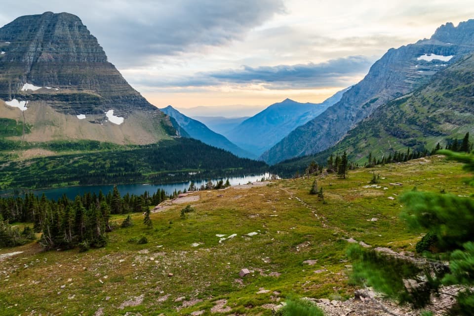
  4. 4Hidden Lake Overlook TrailModerate · 2.6 mi
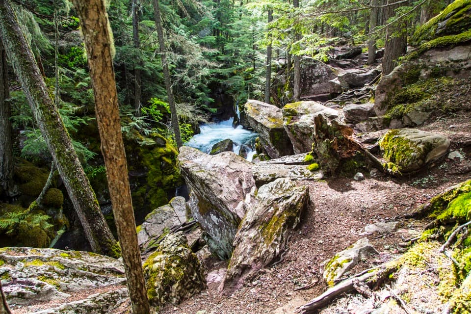
  5. 5Avalanche Lake TrailModerate · 5 mi
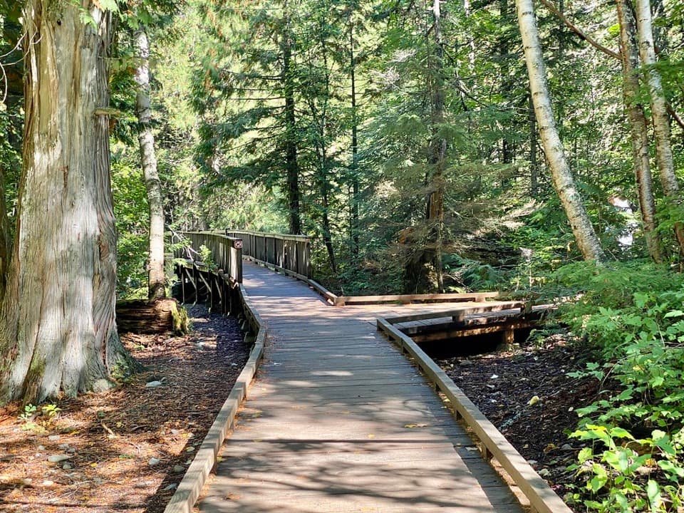
  6. 6Trail of the CedarsEasy · 0.9 mi

Take Parkwolf to Glacier.

The audio tour guide for the drive, plus offline maps, trails, and wildlife heatmaps for when the signal drops.

4.7 from 8,600+ ratings

Download Parkwolf on the App StoreGet Parkwolf on Google Play