Nyack Creek Trail in Glacier National Park

Glacier National Park, MT

Nyack Creek Trail

An 18-mile backcountry corridor with serious river crossings.

Photo: Wikimedia Commons
Length
18.3mi
Time
14hr
Elev. change
1,388ft
Difficulty
Challenging
  • No dogs
  • High point 4,816 ft

Hear the audio tour

A Roof for the Railway

Overview

About Nyack Creek Trail

Why go

  • Remote creek valley with cascades and high-peak views.
  • A long through-route links Lower and Upper Nyack campgrounds.

Heads up

  • The Middle Fork and smaller streams require unbridged fords.
  • The 18.3-mile route ends deep in the backcountry, away from roads.

Map & elevation

The route

Loading the Glacier map
Full map
Elevation3,428–4,816 ft
TrailheadNyack Creek Trailhead (Boundary Trail junction)48.45044, -113.79354
Keep this map with you offline in the Parkwolf app

Plan your hike

Before you go

Parking

Use the Nyack Crossing access road off U.S. 2 just past mile marker 164, about 11 miles from West Glacier. The Boundary Trail start lies beyond the railroad and a Middle Fork ford; the ford location changes with flow, so get the park’s current access map before starting.


Safety

The Nyack Crossing is an unbridged Middle Fork Flathead ford whose location changes with flow. The route also has cold, swift stream crossings and brushy, remote sections; check current water and trail conditions with the park. Pets are prohibited on trails and in the backcountry. A wilderness use permit is required for any overnight camping.

1 active Glacier alert

  • ClosureTwo Medicine Campground closed for 2026 constructionTwo Medicine Campground is closed throughout 2026 because of construction in the Two Medicine developed area.Official details
Glacier alerts
A park ranger sits on a dash-mounted phone, talking, as Parkwolf’s Tour Guide plays “Army Cutworm Moths: A Grizzly Bear Buffet” on Grand Loop Road below Dunraven Pass in Yellowstone
Parkwolf Tour GuideThe highest, rockiest slopes around here are a summer buffet for grizzly bears.

Glacier Tour Guide

Your drive to Nyack Creek Trail, narrated.

Parkwolf is a GPS audio tour guide for Glacier National Park. As you drive, it chimes in with what’s ahead: hidden gems, upcoming stops, history, geology, and wildlife, right through your car’s speakers.

See the Glacier audio tour

Recorded for this area

A Roof for the Railway
0:00 / 0:29
“A snow shed gives an avalanche a way to cross over a railway. Along Glacier's southern edge, these long, roofed structures protect sections of track beneath avalanche paths.”

Plays on the road 1 mi from the trailhead in the Parkwolf Glacier Tour Guide.

More stories near here in the app

  • The Insect That Dents the Water
  • The Weak Layer Under the Snow
  • When a Lake Mixes from Top to Bottom
  • When the Lobby Was a Nature Classroom
  • 204 audio storiesacross Glacier’s roads, triggered by GPS as you drive
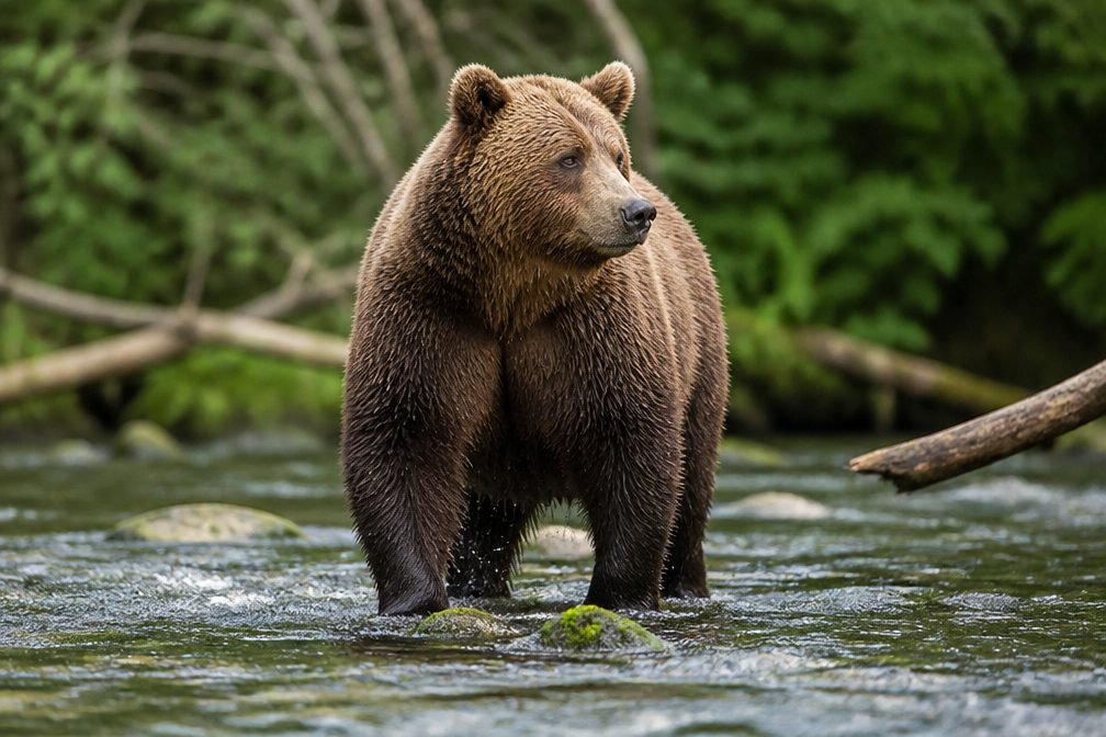
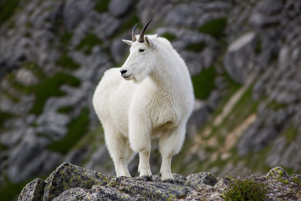
  • Wildlife heatmapsfor Grizzly Bear, Wolverine, Mountain Goat, and 13 more
  • Works offlinemaps, 157 trails, 91 places, and audio download before you lose signal
  • CarPlay readysimple controls built for the drive
★★★★★
“Our first time to glacier and we used the audio portion for Going to the Sun Road. Wonderful information with perfect advice of what to see and do along the road.”
PaisleyParkFanApp Store review
Download Parkwolf on the App StoreGet Parkwolf on Google Play

4.7 from 8,600+ ratings

Trail guide

Hiking Nyack Creek Trail

What this route isNyack Creek Trail is an 18.

Nyack Creek Trail is an 18.3-mile, one-way backcountry route from the Boundary Trail junction near the abandoned Nyack Ranger Station up the Nyack Creek valley to the Surprise Pass Trail junction. That figure covers the named corridor only; it excludes the ford and approach from Nyack Crossing, and it is not the distance back to a road. This is a remote through-route, best planned as part of a multi-day wilderness itinerary rather than a day hike.

The approach is part of the challengeThe road access is Nyack Crossing off U.S. 2, about 11 miles east of West Glacier.

The road access is Nyack Crossing off U.S. 2, about 11 miles east of West Glacier. Reaching the Boundary Trail start means crossing the Middle Fork Flathead River first. The ford shifts with the river, then a faint approach leads to the park trail network; get the park's current crossing map and advice before you commit. The route ends at another backcountry junction, so plan how you'll continue from Surprise Pass before setting out.

Along Nyack CreekThe trail follows the creek valley through mature forest and brush, climbing along the north…

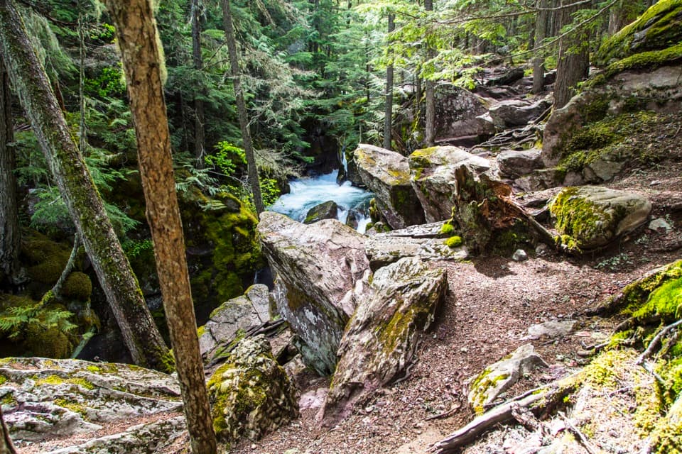
The trail follows the creek valley through mature forest and brush, climbing along the north slope and rim above the gorge. Lower Nyack Campground is a useful named waypoint about 4.5 miles beyond the Boundary Trail junction. Expect tributary and creek crossings along the way, not a smooth, dry tread from end to end.

Where the valley opensOpenings in the trees bring views toward Threesuns Mountain and Mount Stimson, then Blackfoot…

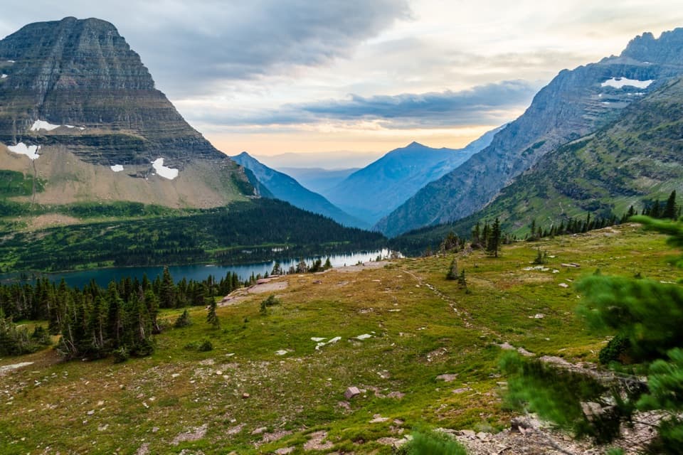
Openings in the trees bring views toward Threesuns Mountain and Mount Stimson, then Blackfoot Mountain, Pumpelly Glacier, and the peaks around Cut Bank Pass. The changing views are the reward for a long stretch of wooded valley; they don't make the route any less remote.

Plan the overnightLower and Upper Nyack are designated backcountry campgrounds along the corridor.

Lower and Upper Nyack are designated backcountry campgrounds along the corridor. Every overnight in Glacier's backcountry requires a wilderness use permit, and pets are not allowed on trails or in the backcountry. The Middle Fork and smaller unbridged crossings can be cold, swift, and difficult to judge, so this one is for hikers comfortable with remote travel and changing water—not a casual creekside walk.

Wildlife

Wildlife in Glacier

All Glacier wildlife maps

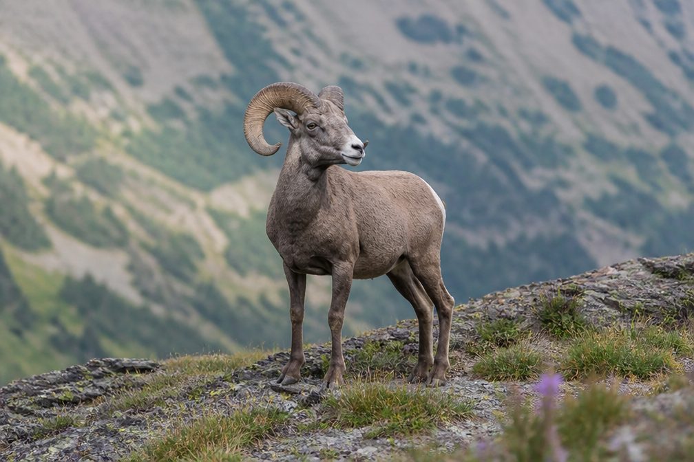
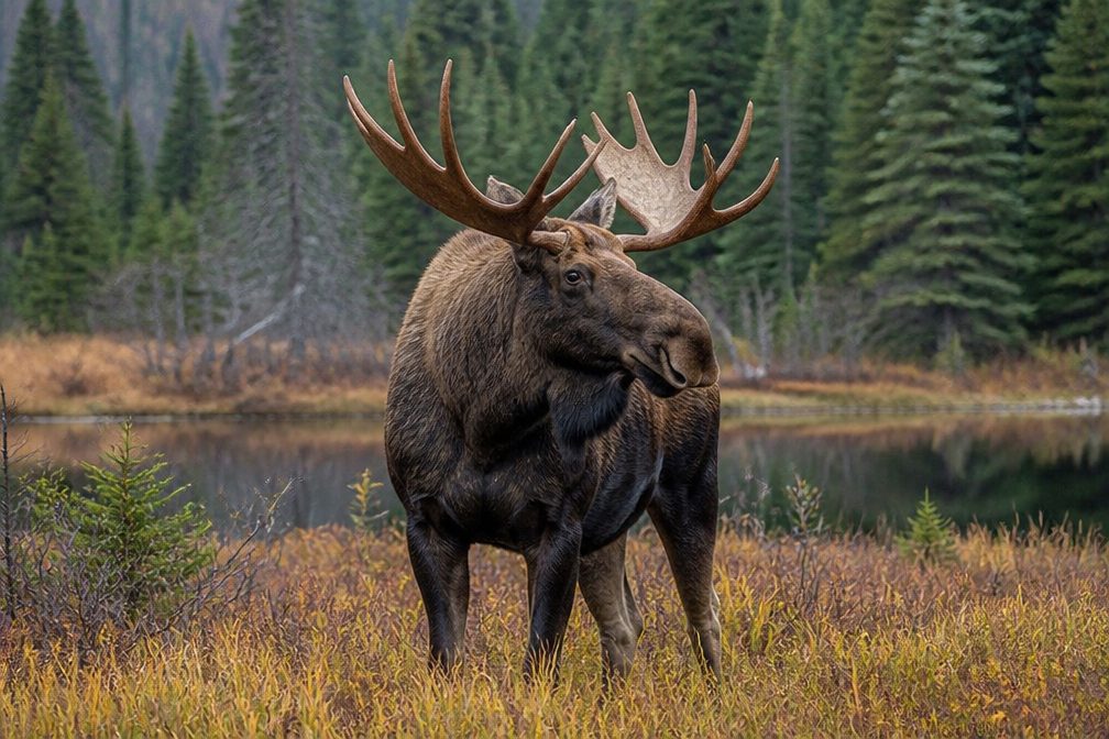
Sighting maps show where each species has been reported across Glacier. Wildlife moves, so no sighting is guaranteed.

Parkwolf’s Glacier ranking

Top-rated trails in Glacier

All 157 trails
  1. 1Highline TrailChallenging · 11.8 mi
  2. 2Grinnell Glacier TrailChallenging · 10 mi
  3. 3Iceberg Lake TrailModerate · 9.6 mi
  4. 4Hidden Lake Overlook TrailModerate · 2.6 mi
  5. 5Avalanche Lake TrailModerate · 5 mi
  6. 6Trail of the CedarsEasy · 0.9 mi

Take Parkwolf to Glacier.

The audio tour guide for the drive, plus offline maps, trails, and wildlife heatmaps for when the signal drops.

4.7 from 8,600+ ratings

Download Parkwolf on the App StoreGet Parkwolf on Google Play