Iceberg Lake Trail in Glacier National Park

#3 of 157 trails in Glacier

Glacier National Park, MT

Iceberg Lake Trail

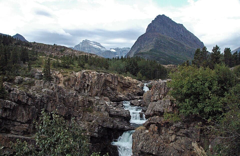
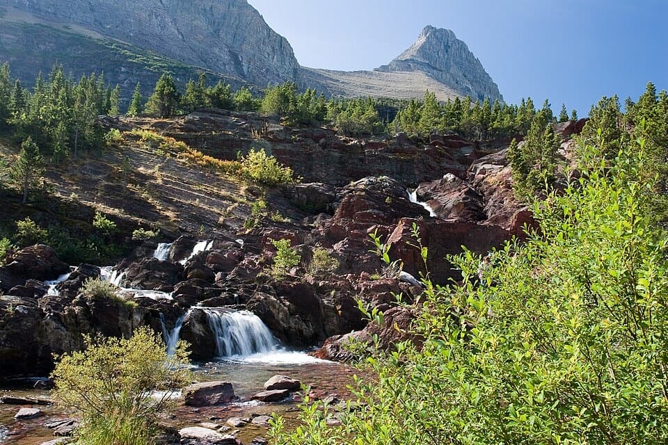
A long valley walk ends at a turquoise lake beneath steep cliffs.

Photo: National Park Service
Length
9.6mi
Time
6hr
Elev. change
1,198ft
Difficulty
Moderate
  • No dogs
  • High point 6,171 ft

Hear the audio tour

Iceberg Lake Trailhead

Overview

About Iceberg Lake Trail

Why go

  • Iceberg Lake and its steep cirque make the long approach worthwhile.
  • Ptarmigan Falls and wall-side meadows add variety before the lake.

Heads up

  • At 9.6 miles round trip, this takes most of a day.
  • The upper creek crossing can be wet and uneven during snowmelt.

Map & elevation

The route

Loading the Glacier map
Full map
Elevation4,974–6,171 ft
TrailheadIceberg-Ptarmigan Trailhead behind Swiftcurrent Motor Inn48.79948, -113.67755
Keep this map with you offline in the Parkwolf app

Plan your hike

Before you go

Parking

Use the Iceberg-Ptarmigan Trailhead behind Swiftcurrent Motor Inn. Its shared lot serves several hikes and can be tight on busy summer mornings, so arrive early. The trailhead restroom is seasonal. Many Glacier Road usually closes for winter in November, weather permitting; check access before a late-season hike.

Safety

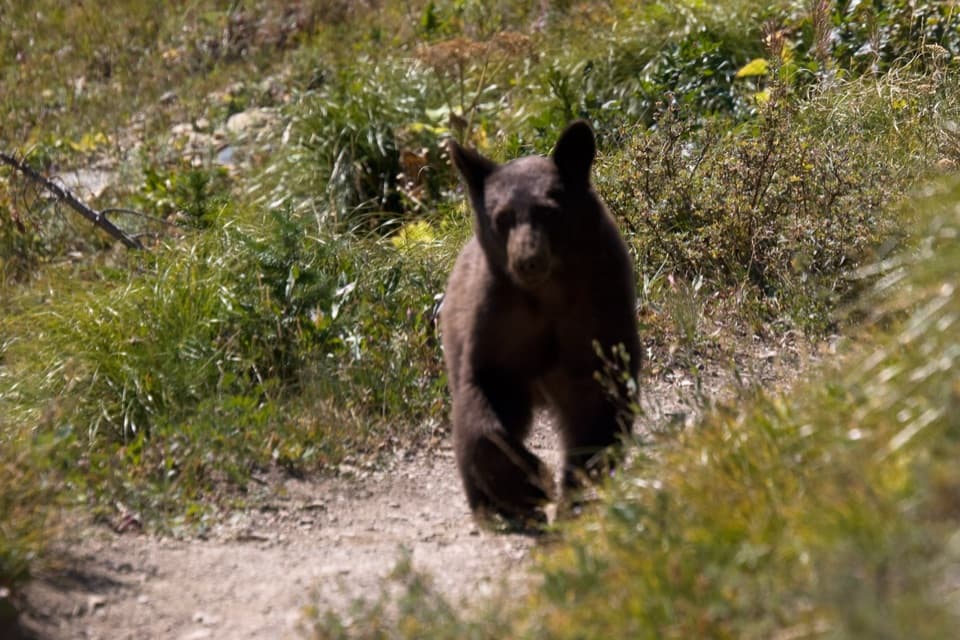
This is black- and grizzly-bear country; carry accessible bear spray and know how to use it. Snowmelt can make the Iceberg Creek crossing high and cold, with wet, loose footing.

1 active Glacier alert

  • ClosureTwo Medicine Campground closed for 2026 constructionTwo Medicine Campground is closed throughout 2026 because of construction in the Two Medicine developed area.Official details
Glacier alerts
A park ranger sits on a dash-mounted phone, talking, as Parkwolf’s Tour Guide plays “Army Cutworm Moths: A Grizzly Bear Buffet” on Grand Loop Road below Dunraven Pass in Yellowstone
Parkwolf Tour GuideThe highest, rockiest slopes around here are a summer buffet for grizzly bears.

Glacier Tour Guide

Your drive to Iceberg Lake Trail, narrated.

Parkwolf is a GPS audio tour guide for Glacier National Park. As you drive, it chimes in with what’s ahead: hidden gems, upcoming stops, history, geology, and wildlife, right through your car’s speakers.

See the Glacier audio tour

Recorded for this trailhead

Iceberg Lake Trailhead
0:00 / 0:26
“You’re nearing Iceberg-Ptarmigan Trailhead, where I’d choose Iceberg Lake for a full day on foot.”

Plays as you drive up to this trailhead in the Parkwolf Glacier Tour Guide.

More stories near here in the app

  • Swiftcurrent and Redrock Falls
  • Grinnell Glacier Trailhead
  • Many Glacier Hotel
  • Swiftcurrent Falls
  • 204 audio storiesacross Glacier’s roads, triggered by GPS as you drive
  • Wildlife heatmapsfor Grizzly Bear, Wolverine, Mountain Goat, and 13 more
  • Works offlinemaps, 157 trails, 91 places, and audio download before you lose signal
  • CarPlay readysimple controls built for the drive
★★★★★
“Our first time to glacier and we used the audio portion for Going to the Sun Road. Wonderful information with perfect advice of what to see and do along the road.”
PaisleyParkFanApp Store review
Download Parkwolf on the App StoreGet Parkwolf on Google Play

4.7 from 8,600+ ratings

Trail guide

Hiking Iceberg Lake Trail

A full day for a remarkable lakeIceberg Lake Trail is a 9.6-mile (15.4 km) out-and-back from Iceberg-Ptarmigan Trailhead, 4.

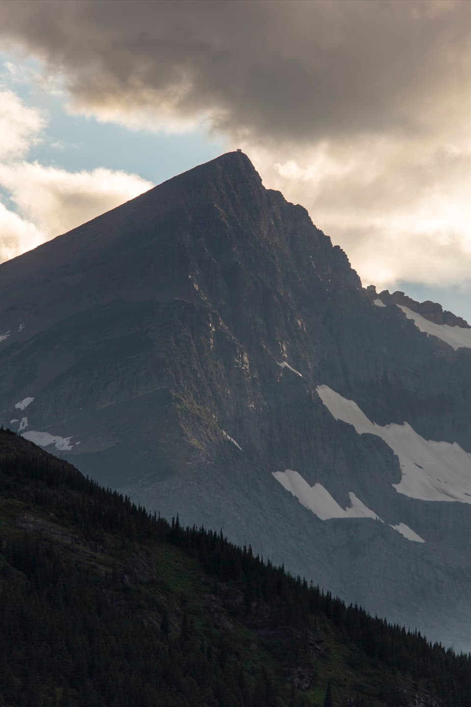
Iceberg Lake Trail is a 9.6-mile (15.4 km) out-and-back from Iceberg-Ptarmigan Trailhead, 4.8 miles each way. Allow about six hours, or longer if you want a proper stop at the lake. The dedicated trailhead page lists 1,765 feet of climbing and 624 feet of descent; you feel the uphill in the first half, and the walk back still has rolling climbs. The footing is moderate, but the distance makes this a full day. The payoff is a turquoise lake in a steep cirque below Iceberg Peak and Mount Wilbur. If nine-plus miles is too much, Ptarmigan Falls is a good shorter turnaround about 2.7 miles from the trailhead each way, though it leaves the lake for another hike.


The climb to Ptarmigan FallsStart behind Swiftcurrent Motor Inn and follow the shared approach.

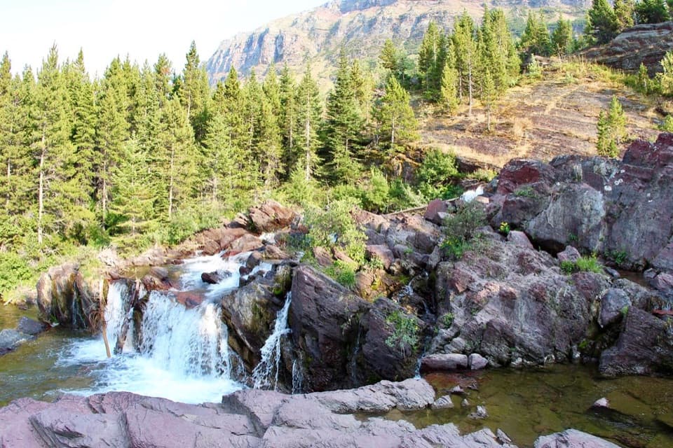
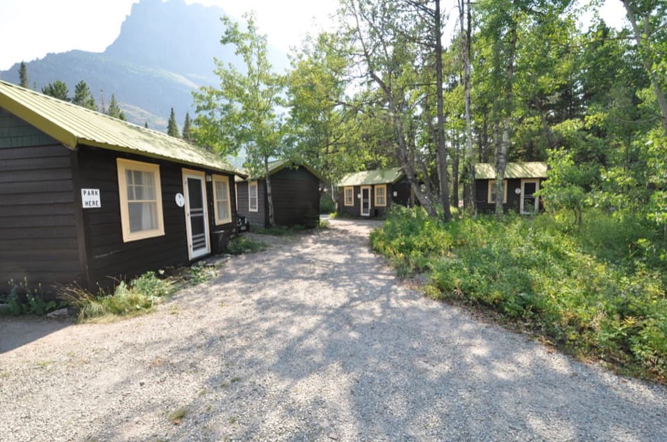
Start behind Swiftcurrent Motor Inn and follow the shared approach. The route climbs steadily through conifers, with open patches giving quick looks across the valley. Several signed junctions make it worth checking that you are still on the Iceberg Lake route rather than continuing toward Ptarmigan Tunnel. The first major landmark is Ptarmigan Falls, about 2.7 miles in. It is a natural place to turn back if you want a substantial walk without committing to the full lake distance.

Along Ptarmigan WallPast the falls, the grade eases into rolling travel along the base of Ptarmigan Wall.

Past the falls, the grade eases into rolling travel along the base of Ptarmigan Wall. The path leaves much of the forest behind, and meadow openings make the surrounding walls and valley easier to read. In wildflower season, the lower slopes can bloom; this is where the route begins to feel like a high valley walk rather than a climb from the lodge area. Ptarmigan Wall is a ridgeline separating the Iceberg Lake and Wilbur Creek drainage from the Belly River Valley. Keep following the Iceberg Lake branch; the Ptarmigan route continues beyond this junction toward Ptarmigan Lake and the tunnel.

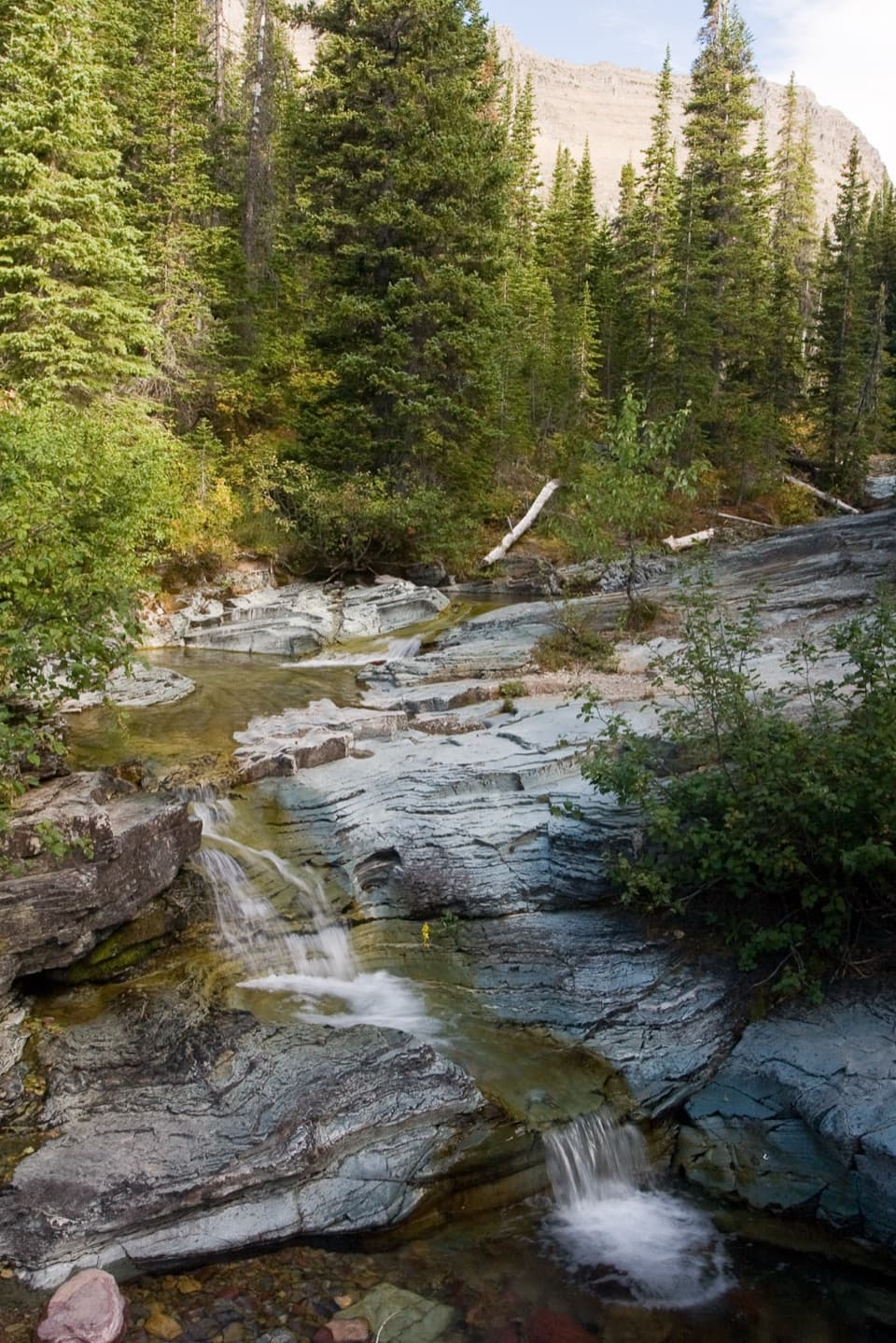
The rise above Iceberg CreekNear the head of the valley the trail crosses Iceberg Creek and climbs a small rise.

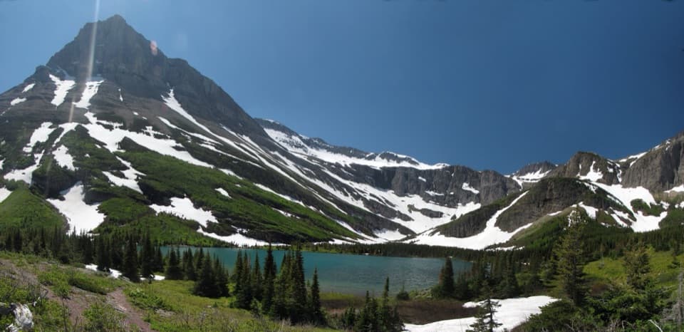
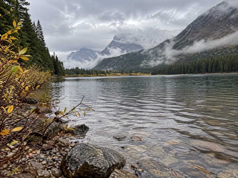
Near the head of the valley the trail crosses Iceberg Creek and climbs a small rise. That is where Iceberg Lake opens below the cliffs: turquoise water, Iceberg Peak behind it, and Mount Wilbur to the south and east. The lake sits in a glacially carved bowl, and snowfields above the western shore can send ice floes into the water. Some years those floes linger into September; in others the lake is clear earlier, so do not plan on seeing ice on a particular date. For a photo, stop on the rise just after the creek and keep a little trail or shore in the foreground with the walls. It gives the lake scale on a phone.

Make the day workThe shared trailhead lot behind Swiftcurrent Motor Inn serves several hikes and can feel tight…

The shared trailhead lot behind Swiftcurrent Motor Inn serves several hikes and can feel tight on busy summer mornings, so arrive early. A restroom is seasonal. Dogs are not allowed on Glacier trails. This is bear country, including both black and grizzly bears; carry bear spray where you can reach it and know how to use it. The Iceberg Creek crossing can run high and cold during snowmelt, when the rocks are also wet and loose. Many Glacier Road usually closes for winter in November, weather permitting, so check access before a late-season hike.

Wildlife

Wildlife in Glacier

All Glacier wildlife maps

Sighting maps show where each species has been reported across Glacier. Wildlife moves, so no sighting is guaranteed.

Keep exploring

Near Iceberg Lake Trail

See it all on the map

Trails that start nearby

Places near the trailhead

Parkwolf’s Glacier ranking

Top-rated trails in Glacier

All 157 trails
  1. 1Highline TrailChallenging · 11.8 mi
  2. 2Grinnell Glacier TrailChallenging · 10 mi
  3. 4Hidden Lake Overlook TrailModerate · 2.6 mi
  4. 5Avalanche Lake TrailModerate · 5 mi
  5. 6Trail of the CedarsEasy · 0.9 mi
  6. 7Ptarmigan Tunnel TrailChallenging · 10.6 mi

Take Parkwolf to Glacier.

The audio tour guide for the drive, plus offline maps, trails, and wildlife heatmaps for when the signal drops.

4.7 from 8,600+ ratings

Download Parkwolf on the App StoreGet Parkwolf on Google Play