Parking
Use the Avalanche Picnic Area parking area off Going-to-the-Sun Road. It fills during busy periods, so arrive early; access depends on seasonal road status.

#6 of 157 trails in Glacier
Glacier National Park, MT
A cedar boardwalk with an easy look into Avalanche Gorge.
Overview
Map & elevation
Plan your hike

The highest, rockiest slopes around here are a summer buffet for grizzly bears.
Glacier Tour Guide
Parkwolf is a GPS audio tour guide for Glacier National Park. As you drive, it chimes in with what’s ahead: hidden gems, upcoming stops, history, geology, and wildlife, right through your car’s speakers.
See the Glacier audio tourRecorded for this trailhead
Avalanche Creek: Cedars or Lake“Up ahead is Avalanche Creek, with two very different walks from the same area.”
Plays as you drive up to this trailhead in the Parkwolf Glacier Tour Guide.
More stories near here in the app
“Our first time to glacier and we used the audio portion for Going to the Sun Road. Wonderful information with perfect advice of what to see and do along the road.”


Trail guide
Trail of the Cedars is a 0.9-mile loop from Avalanche Picnic Area through old-growth forest beside Avalanche Creek. It gains and loses about 83 feet, and allow 30 to 45 minutes if you stop at the gorge. The route is designated wheelchair accessible, with a raised boardwalk and paved sections. Come for a gentle walk among big cedars and a close look at moving water; it is not a summit hike or a wide-open mountain viewpoint. If you want a pleasant short stop without committing much of the day, this one earns its place.
Start at Avalanche Picnic Area and follow the path beside the creek. The eastern leg uses raised boardwalk through western red cedar and western hemlock, with ferns and moss across the forest floor. About halfway around, a footbridge crosses above Avalanche Creek and looks down into the lower gorge. The return uses a paved path past Avalanche Creek Campground before coming back to the road. That change from boardwalk to pavement gives the loop a little variety, while the footing and modest climbing keep the walk easy. Interpretive exhibits along the route add context if you want to linger over the forest.
The gorge is the walk's defining stop: water has cut a narrow channel through the rock, and the footbridge gives you a view into it without adding a separate climb. A short, steep spur from the nearby Avalanche Lake Trail junction descends toward the creek bank; it is outside the loop and not part of its 0.9 miles. The Avalanche Lake Trail continues for 2.3 miles one way, so taking it turns this quick outing into a much longer hike. If the full loop feels like more walking than you want, you can see the gorge from the bridge and return the way you came instead of taking the paved leg.
Western red cedars and western hemlocks are the main reason the walk feels different from a simple path through the woods. Some cedars here are estimated to be more than 500 years old; the largest reported trees reach around 100 feet, with trunks several feet across. Take time to look at the bark, roots, and the fern-and-moss floor rather than hurrying between the creek and the bridge. American dippers are associated with the creek, so pause and listen near the water. The trees and moving water are the draw; this is a close-up nature walk, not a route for expansive views.
Use the parking area at Avalanche Picnic Area off Going-to-the-Sun Road. It fills during busy periods, and the trail can feel crowded, so an early start gives you a better chance of a quieter walk and a parking space. A vault or composting toilet and interpretive exhibits are available by the trailhead; food and drinking-water service are not listed for this small trail area, so bring what you need. Road access is seasonal, so check its status before driving to Avalanche. Pets are not allowed on park trails. Stay on the boardwalk and bridge around the creek and gorge, where the water is powerful and the edges fall away.
Wildlife
 404 sightingsGrizzly BearMost seen around 6 AMSighting map
 11 sightingsWolverineMost seen around 8 PMSighting map
 1,173 sightingsMountain GoatMost seen around 6 AMSighting map
 1,000 sightingsBighorn SheepMost seen around 6 AMSighting map
 395 sightingsMooseMost seen around 6 AMSighting map
 506 sightingsBlack BearMost seen around 8 PMSighting map
Sighting maps show where each species has been reported across Glacier. Wildlife moves, so no sighting is guaranteed.
Keep exploring
 ModerateAvalanche Lake Trail5 mi · 4.5 hr · 0.4 mi awayA half-mile of cedars before the big lake payoff.
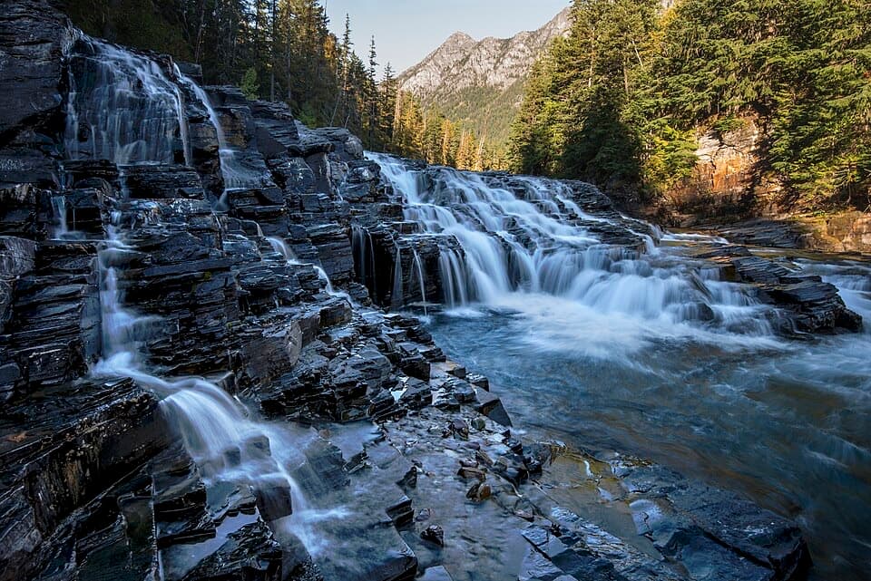 EasyUpper McDonald Creek Trail5.4 mi · 2.5 hr · 3.8 mi awayA gentle creek walk to two cascades and a quiet forest finish.
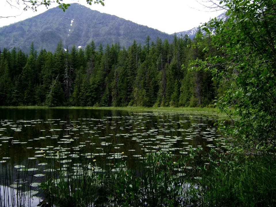 EasyJohns Lake Loop Trail2.6 mi · 1.5 hr · 3.8 mi awayA shady loop reaches a small lake, cascades, and a forest creek.
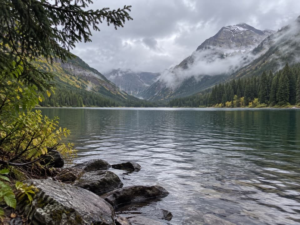 ChallengingTrout Lake Trail8 mi · 6 hr · 4.4 mi awayClimb Howe Ridge for a lake framed by high peaks.
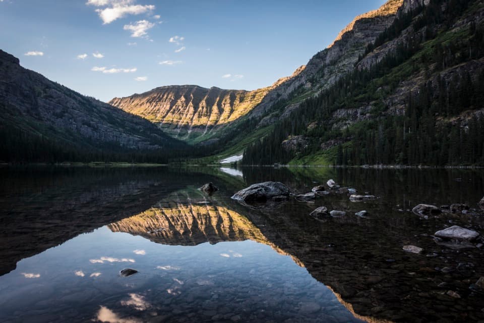 ChallengingWest Lakes Trail21 mi · 12 hr · 4.4 mi awayA rugged out-and-back over Howe Ridge to Glacier's remote lakes.ChallengingArrow Lake Trail13.8 mi · 10.5 hr · 4.4 mi awayCross Howe Ridge to a backcountry campsite on Arrow Lake.
 ModerateHidden Lake Overlook Trail2.6 mi · 2.5 hr · 4.7 mi awayBoardwalk and switchbacks open onto a lake beneath Bearhat Mountain.
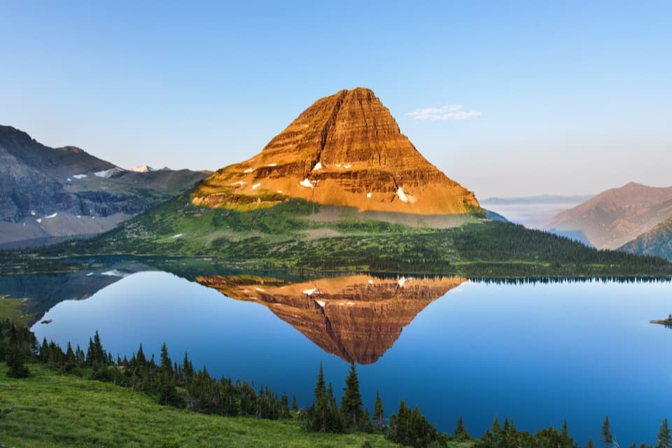 ChallengingHidden Lake Trail5.4 mi · 3.5 hr · 4.7 mi awayGo past the overlook only if you’re ready for a steep return.
 Picnic area · 0.2 mi awayAvalanche Creek Picnic AreaA creekside lunch beneath old-growth cedar and hemlock.
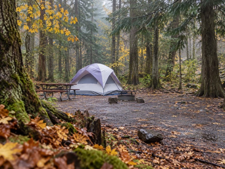 Campground · 0.2 mi awayAvalanche CampgroundA cedar-forest base for Avalanche Lake and Trail of the Cedars.
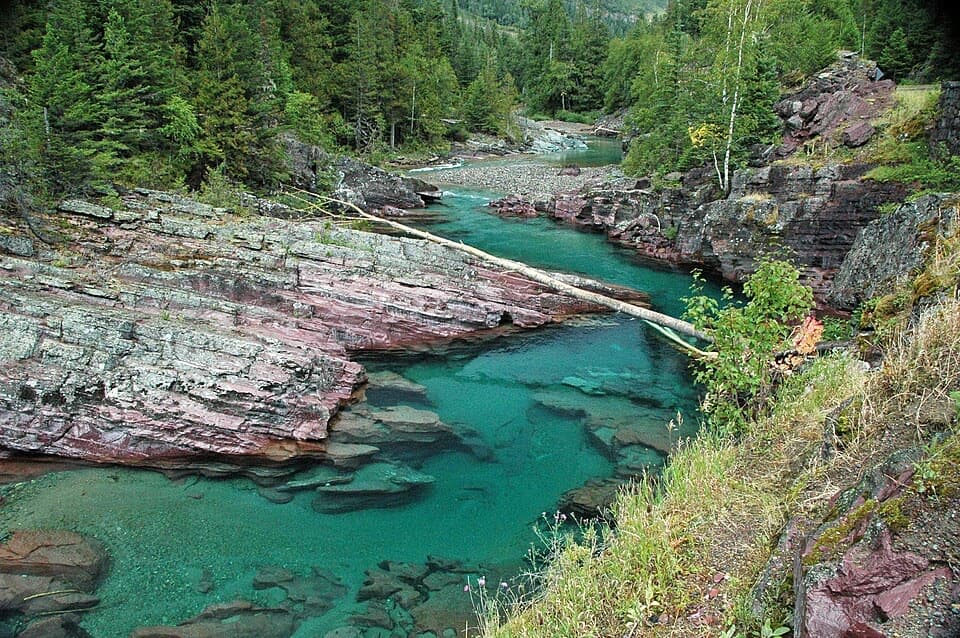 Sight · 1 mi awayRed Rock PointRust-red ledges turn McDonald Creek into a roadside cascade.
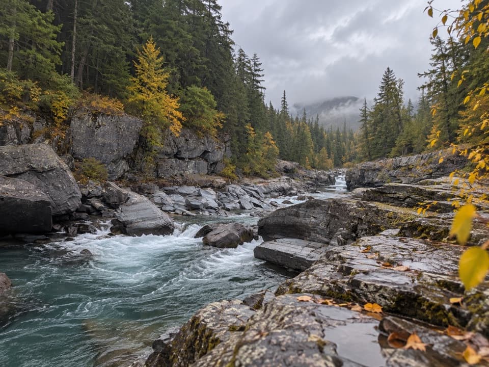 Sight · 2 mi awayMcDonald Creek OverlookA close look at Glacier's longest creek system.
 Sight · 2.3 mi awayAvalanche LakeThin waterfalls stripe steep walls above a clear lake.
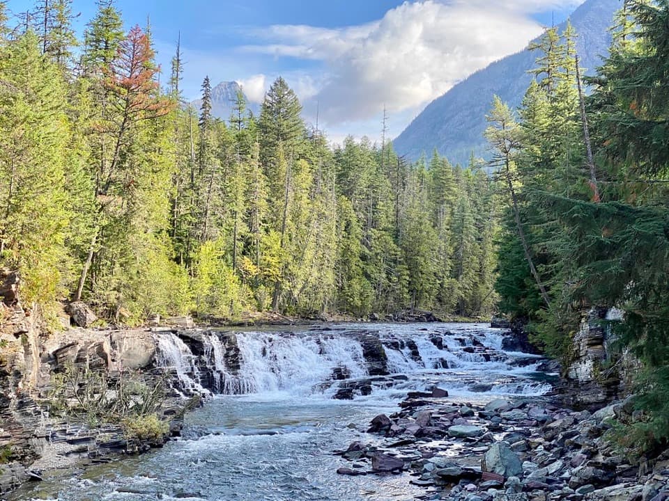 Sight · 3.1 mi awaySacred Dancing CascadeA quick stop for clear water spilling over layered creek rock.
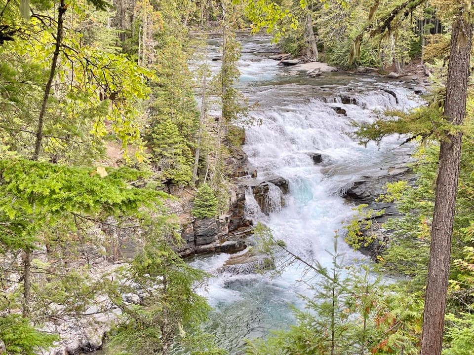 Sight · 3.5 mi awayMcDonald FallsA quick, accessible overlook above McDonald Creek’s blue-green rapids.
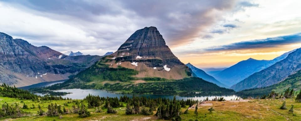 Sight · 3.6 mi awayHidden Lake OverlookAn exposed climb earns the park's classic view of Hidden Lake.
Parkwolf’s Glacier ranking

The audio tour guide for the drive, plus offline maps, trails, and wildlife heatmaps for when the signal drops.



