Parking
No dedicated road parking is documented for this segment. Its south end is the Lincoln Creek Patrol Cabin / South Boundary Trail junction; plan the approach and exit on connected trails.

Glacier National Park, MT
A remote creek connector with three fords and open burn views.
Overview
Map & elevation
Plan your hike

The highest, rockiest slopes around here are a summer buffet for grizzly bears.
Glacier Tour Guide
Parkwolf is a GPS audio tour guide for Glacier National Park. As you drive, it chimes in with what’s ahead: hidden gems, upcoming stops, history, geology, and wildlife, right through your car’s speakers.
See the Glacier audio tourRecorded for this area
When the River Took the Bridge“In June nineteen sixty-four, heavy rain fell while mountain streams were already high from melting snow. The resulting floods tore through communities on both sides of the Continental Divide.”
Plays on the road 0.3 mi from the trailhead in the Parkwolf Glacier Tour Guide.
More stories near here in the app
“Our first time to glacier and we used the audio portion for Going to the Sun Road. Wonderful information with perfect advice of what to see and do along the road.”


Trail guide
Lincoln Creek Trail is a 6.7-mile, one-way point-to-point connector from South Boundary Trail at Lincoln Creek Patrol Cabin to the Lincoln Lake Trail junction. It follows the creek through forest, opens into an old burn with mountain views, then returns to older, wetter woods. This is a remote trail link, not the separate Going-to-the-Sun Road hike to Lincoln Lake. Allow about 4½ hours for this segment; returning the same way makes it about 13.4 miles before either approach.
From the cabin, the trail follows Lincoln Creek through damp forest and crosses it three times. Expect rough footing around the fords, eroded banks, and downed trees. The route gains about 1,100 feet overall, then opens into a burn with little shade and views up the drainage. Farther on, the tread enters older forest and wetter ground before it meets Lincoln Lake Trail.
The south start is in the backcountry at the patrol cabin, not a roadside trailhead. Plan the approach and exit on the connecting trails before setting out; the 6.7 miles covers only this segment. The alternate Middle Fork Flathead approach can involve a dangerous spring ford, and Lincoln Creek itself can run cold and swift early in the season. Glacier does not allow pets on trails or in the backcountry. Carry bear spray on this remote route.
Wildlife
 404 sightingsGrizzly BearMost seen around 6 AMSighting map
 11 sightingsWolverineMost seen around 8 PMSighting map
 1,173 sightingsMountain GoatMost seen around 6 AMSighting map
 1,000 sightingsBighorn SheepMost seen around 6 AMSighting map
 395 sightingsMooseMost seen around 6 AMSighting map
 506 sightingsBlack BearMost seen around 8 PMSighting map
Sighting maps show where each species has been reported across Glacier. Wildlife moves, so no sighting is guaranteed.
Keep exploring
 ModerateHarrison Lake Trail9.8 mi · 6.5 hr · 1.5 mi awayA remote lake walk reached by an unbridged river ford.
 ChallengingSouth Boundary Trail11.5 mi · 5.3 hr · 4.1 mi awayFollow the Middle Fork through an old ranger route to Lincoln Creek.
 EasyBelton Bridge Trail1 mi · 30 min · 4.6 mi awayA level riverside walk to the old entrance bridge.
 ChallengingSnyder Ridge Trail12.6 mi · 9 hr · 4.8 mi awayHard miles in the trees, with Fish Lake waiting near the end.
 ChallengingNyack Creek Trail18.3 mi · 14 hr · 5.2 mi awayAn 18-mile backcountry corridor with serious river crossings.
 EasyApgar Bike Path3 mi · 1.2 hr · 5.6 mi awayFlat, shaded pavement links Apgar Village with Park Headquarters.
 ChallengingLoneman Lookout Trail14.8 mi · 9 hr · 5.7 mi awayTwo fords, a burn shelf, and a rarely seen lookout above Nyack.ChallengingNyack Creek–Coal Creek Loop42.4 mi · 1.3 days · 5.7 mi awayA rough 42-mile loop over Surprise Pass with repeated river fords.
 Lodging · 4.4 mi awayBelton ChaletA 1910 railway chalet still serving dinner beneath its timber gables.
 Sight · 4.5 mi awayHistoric Belton DepotA 1910 rail depot turned bookstore, with park passport stamps.
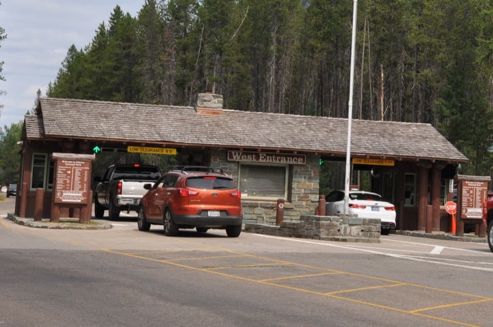 Entrance station · 4.9 mi awayWest Entrance StationA CCC-built 1941 checkpoint with a distinctive rustic tollbooth design.
 Campground · 5 mi awayApgar CampgroundSleep in the pines, then walk to Lake McDonald for sunset.
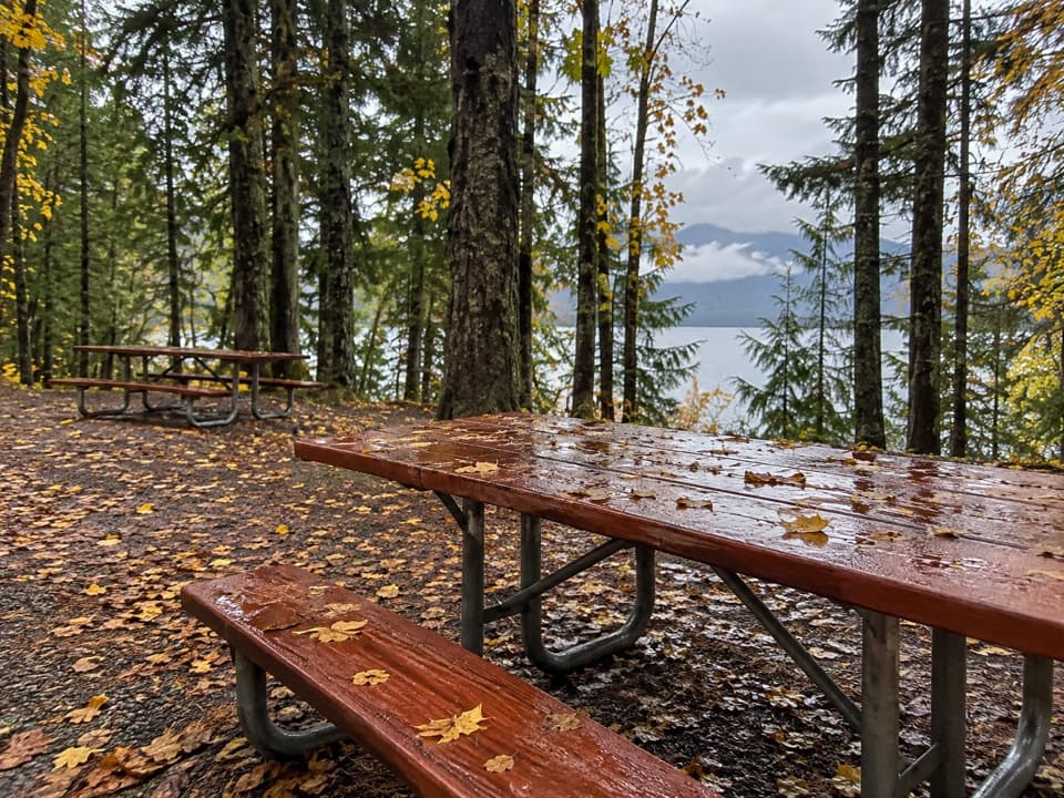 Picnic area · 5 mi awayApgar Picnic AreaA shaded picnic stop with Lake McDonald in front.
 Visitor center · 5.2 mi awayApgar Visitor CenterSort out your west-side plan, then hop on the park shuttle.
 Sight · 5.5 mi awayApgar Nature CenterTouch animal pelts and build mountains in a 1929 Apgar cabin.
 Sight · 5.5 mi awayApgar VillageFood, boats and lake access share the west shore.
Parkwolf’s Glacier ranking

The audio tour guide for the drive, plus offline maps, trails, and wildlife heatmaps for when the signal drops.





