Avalanche Lake Trail in Glacier National Park

#5 of 157 trails in Glacier

Glacier National Park, MT

Avalanche Lake Trail

A half-mile of cedars before the big lake payoff.

Photo: Wikimedia Commons
Length
5mi
Time
4.5hr
Elev. change
514ft
Difficulty
Moderate
  • No dogs
  • High point 3,962 ft

Hear the audio tour

Avalanche Creek: Cedars or Lake

Overview

About Avalanche Lake Trail

Why go

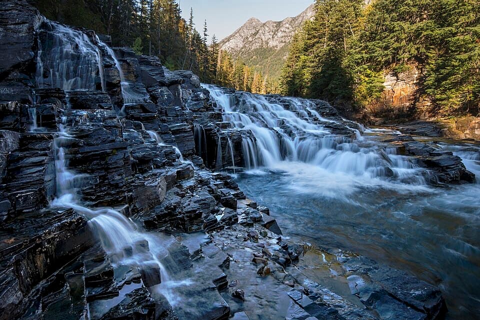
  • A boardwalk creek gorge leads into a big waterfall-and-cliff lake basin.
  • The opening half mile is wheelchair-accessible.

Heads up

  • The rougher climb starts after an easy boardwalk opening.
  • Shared summer parking can be a bottleneck.
Avalanche Lake Trail is a five-mile out-and-back from Avalanche Lake Trailhead at Avalanche Picnic Area to the far end of Avalanche Lake. You start on the Trail of the Cedars, then follow Avalanche Creek to a glacially carved basin with steep walls and waterfalls dropping from the surrounding slopes. It is a strong half-day walk on the Lake McDonald side of Glacier if you want a creekside approach and a dramatic lake at the end. Budget three to six hours; the water and falls are an easy reason to linger. The distance counts walking back along the same route, and shoreline exploring adds miles.
Parkwolf’s verdictThe payoff is a mountain lake

Map & elevation

The route

Loading the Glacier map
Full map
Elevation3,448–3,962 ft
TrailheadAvalanche Lake Trailhead (Avalanche Picnic Area)48.67646, -113.81377
Keep this map with you offline in the Parkwolf app

Plan your hike

Before you go

Parking

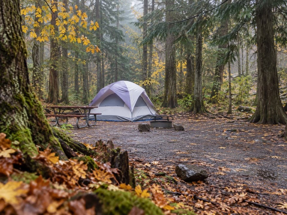
Start at Avalanche Lake Trailhead beside Avalanche Picnic Area and Avalanche Campground on Going-to-the-Sun Road. Parking is shared with Trail of the Cedars and gets busy on summer days; going early helps. The road opens and closes seasonally, so check current park road status before you drive.

Safety

Beyond the first half mile, the route is steeper and rocky and is not wheelchair-accessible to the lake. Rocks beside Avalanche Gorge can be slippery; view it from the boardwalk and bridges. No pets are allowed. Check seasonal road and trail status before setting out.

1 active Glacier alert

  • ClosureTwo Medicine Campground closed for 2026 constructionTwo Medicine Campground is closed throughout 2026 because of construction in the Two Medicine developed area.Official details
Glacier alerts
A park ranger sits on a dash-mounted phone, talking, as Parkwolf’s Tour Guide plays “Army Cutworm Moths: A Grizzly Bear Buffet” on Grand Loop Road below Dunraven Pass in Yellowstone
Parkwolf Tour GuideThe highest, rockiest slopes around here are a summer buffet for grizzly bears.

Glacier Tour Guide

Your drive to Avalanche Lake Trail, narrated.

Parkwolf is a GPS audio tour guide for Glacier National Park. As you drive, it chimes in with what’s ahead: hidden gems, upcoming stops, history, geology, and wildlife, right through your car’s speakers.

See the Glacier audio tour

Recorded for this trailhead

Avalanche Creek: Cedars or Lake
0:00 / 0:28
“Up ahead is Avalanche Creek, with two very different walks from the same area.”

Plays as you drive up to this trailhead in the Parkwolf Glacier Tour Guide.

More stories near here in the app

  • Red Rock Point
  • McDonald Creek Overlook
  • The Bird That Plants Pines
  • Sacred Dancing Cascade
  • 204 audio storiesacross Glacier’s roads, triggered by GPS as you drive
  • Wildlife heatmapsfor Grizzly Bear, Wolverine, Mountain Goat, and 13 more
  • Works offlinemaps, 157 trails, 91 places, and audio download before you lose signal
  • CarPlay readysimple controls built for the drive
★★★★★
“Our first time to glacier and we used the audio portion for Going to the Sun Road. Wonderful information with perfect advice of what to see and do along the road.”
PaisleyParkFanApp Store review
Download Parkwolf on the App StoreGet Parkwolf on Google Play

4.7 from 8,600+ ratings

Trail guide

Hiking Avalanche Lake Trail

The first half mile is a different walkThe opening half mile follows the wheelchair-accessible Trail of the Cedars nature trail…

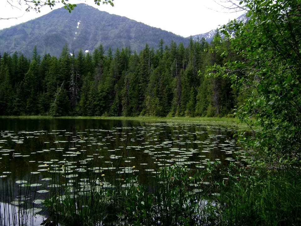
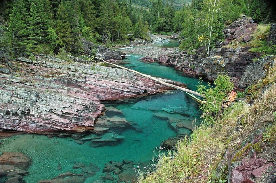
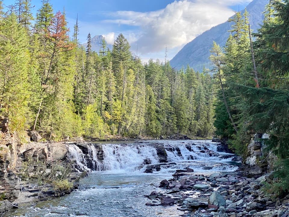
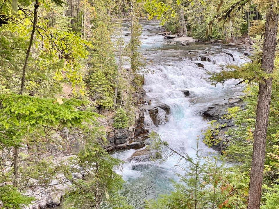
The opening half mile follows the wheelchair-accessible Trail of the Cedars nature trail through forest and along a boardwalk, with Avalanche Gorge as an early stop. The gorge is worth a pause: Avalanche Creek is squeezed between rock walls, and the maintained boardwalk and bridges give you the safest view. The rocks beside the water can be slick, so stay on the built path. The lake route branches from the cedar loop. Beyond that turn, the accessible stretch ends; the lake hike is not wheelchair accessible end to end.

Along Avalanche CreekPast the cedar loop, the path becomes narrower and rougher, with roots and rocks underfoot and…

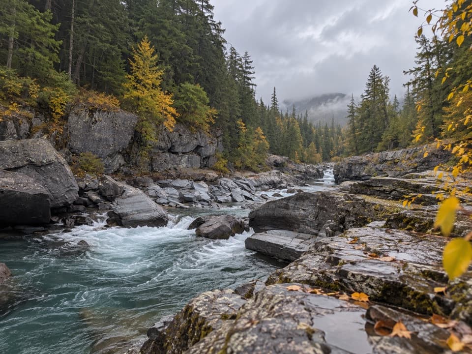
Past the cedar loop, the path becomes narrower and rougher, with roots and rocks underfoot and a steady climb beside Avalanche Creek. This part feels much more like a mountain hike than the gentle boardwalk you started on. Around 1.4 miles beyond the junction, Hidden Creek comes down a side canyon and joins Avalanche Creek. It drains from the Hidden Lake area, so the confluence links two of the park’s better-known watersheds. Take a moment to notice the tributary and the change in the valley; it is easy to focus on the main trail and walk right past it.

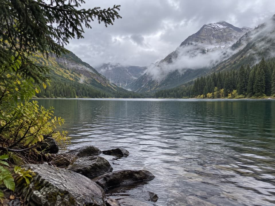
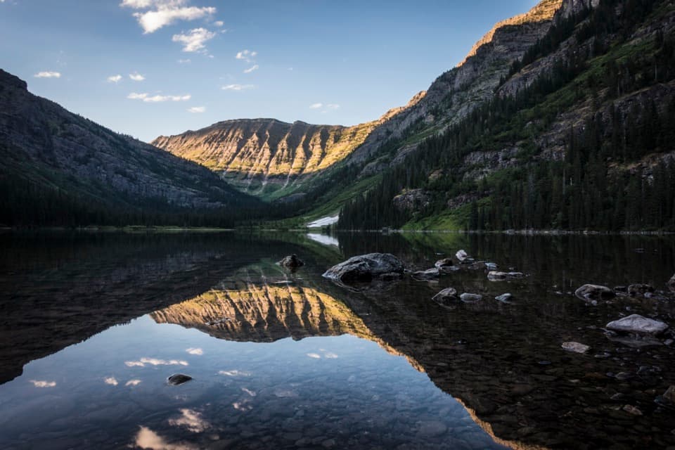
At the lakeAs you near Avalanche Lake, the trees thin and the view opens onto a basin below steep cliffs.

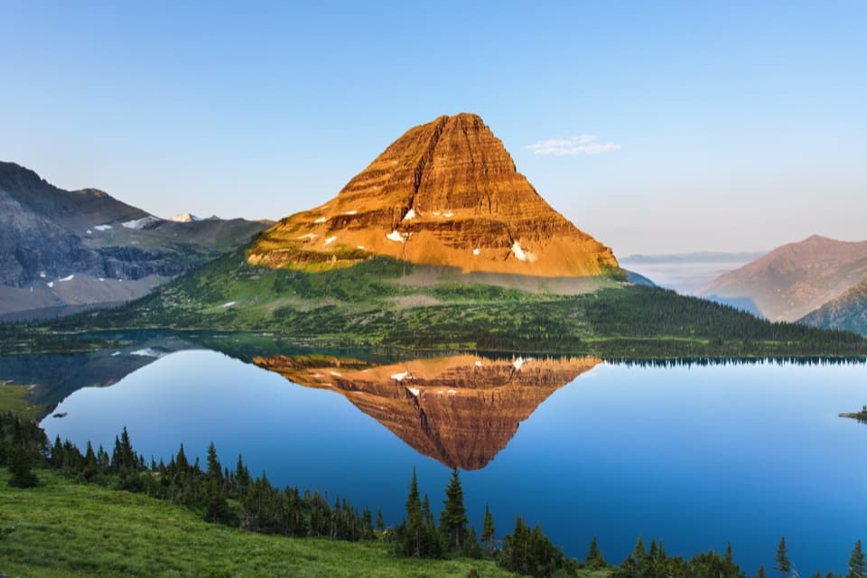
As you near Avalanche Lake, the trees thin and the view opens onto a basin below steep cliffs. Several waterfalls spill down the high slopes toward the lake, and a pit toilet sits just before the shore. The trail continues along the lakeside toward its far end, giving you changing views of the water and cliffs. If you want the classic basin view, stop where the whole lake and its waterfalls fit together; walking farther along shore adds distance before the return. When the surface is still, include a little water in the frame so it can reflect the cliffs and falls.

Make the access workThe trailhead shares its access and parking with Avalanche Picnic Area, Avalanche Campground,…

The trailhead shares its access and parking with Avalanche Picnic Area, Avalanche Campground, and Trail of the Cedars on Going-to-the-Sun Road. Parking gets busy on summer days, so an early start can make the visit easier. The road has a seasonal opening and closure; check current park road and trail conditions before driving out. Pets are not allowed. The first half mile is the accessible option; the climb and uneven trail beyond it are for hikers continuing to the lake.

Wildlife

Wildlife in Glacier

All Glacier wildlife maps

Sighting maps show where each species has been reported across Glacier. Wildlife moves, so no sighting is guaranteed.

Keep exploring

Near Avalanche Lake Trail

See it all on the map

Trails that start nearby

Places near the trailhead

Parkwolf’s Glacier ranking

Top-rated trails in Glacier

All 157 trails
  1. 1Highline TrailChallenging · 11.8 mi
  2. 2Grinnell Glacier TrailChallenging · 10 mi
  3. 3Iceberg Lake TrailModerate · 9.6 mi
  4. 4Hidden Lake Overlook TrailModerate · 2.6 mi
  5. 6Trail of the CedarsEasy · 0.9 mi
  6. 7Ptarmigan Tunnel TrailChallenging · 10.6 mi

Take Parkwolf to Glacier.

The audio tour guide for the drive, plus offline maps, trails, and wildlife heatmaps for when the signal drops.

4.7 from 8,600+ ratings

Download Parkwolf on the App StoreGet Parkwolf on Google Play