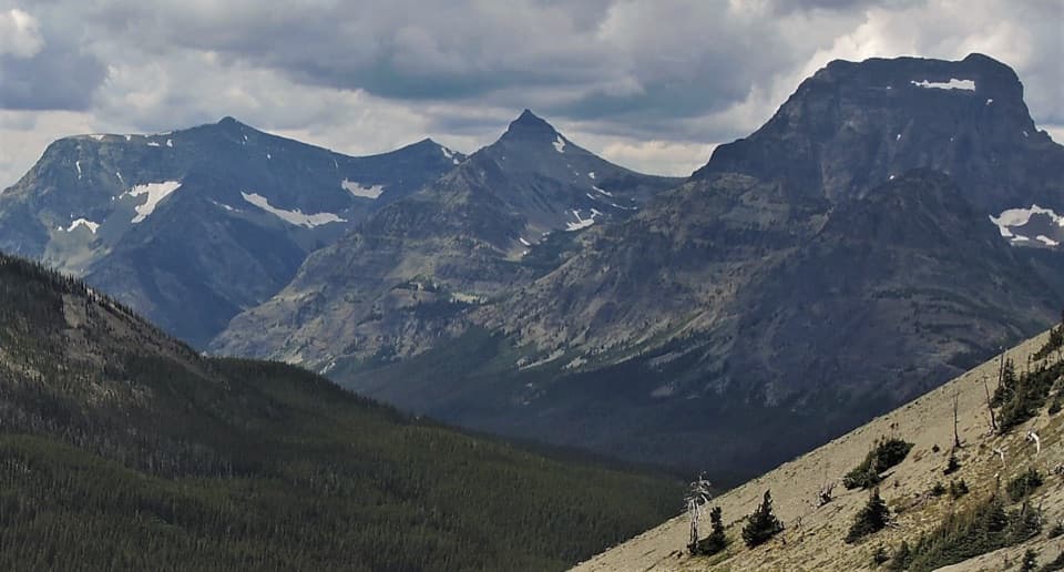
Elk Mountain Trail in Glacier National Park

Glacier National Park, MT

Elk Mountain Trail

A punishing climb to an old lookout site above Marias Pass.

Photo: Public Domain
Length
6.8mi
Time
6.5hr
Elev. change
3,182ft
Difficulty
Challenging
  • No dogs
  • High point 7,736 ft

Hear the audio tour

A Tadpole Built to Hold On

Overview

About Elk Mountain Trail

Why go

  • A broad summit with former lookout remains
  • Fielding Patrol Cabin adds a historic stop

Heads up

  • Steep, sustained climbing
  • The approach crosses private land and an active railroad

Map & elevation

The route

Loading the Glacier map
Full map
Elevation4,554–7,736 ft
TrailheadFielding Trail access near US 2 milepost 19248.27751, -113.43890
Keep this map with you offline in the Parkwolf app

Plan your hike

Before you go

Parking

From US 2 near milepost 192, follow the marked Fielding access to the open parking area by the stock hitch rail. Published directions put the limited gravel pullout at slightly different points, so stop only at the signed area and do not continue past posted restrictions.

Safety

The climb is steep and narrow, with about 3,300 feet of ascent and no dependable water. The approach crosses private property and an active railroad; stay on the established route and use only its designated crossing. Snow and ice can linger at high elevation into summer and return in fall.

1 active Glacier alert

  • ClosureTwo Medicine Campground closed for 2026 constructionTwo Medicine Campground is closed throughout 2026 because of construction in the Two Medicine developed area.Official details
Glacier alerts
A park ranger sits on a dash-mounted phone, talking, as Parkwolf’s Tour Guide plays “Army Cutworm Moths: A Grizzly Bear Buffet” on Grand Loop Road below Dunraven Pass in Yellowstone
Parkwolf Tour GuideThe highest, rockiest slopes around here are a summer buffet for grizzly bears.

Glacier Tour Guide

Your drive to Elk Mountain Trail, narrated.

Parkwolf is a GPS audio tour guide for Glacier National Park. As you drive, it chimes in with what’s ahead: hidden gems, upcoming stops, history, geology, and wildlife, right through your car’s speakers.

See the Glacier audio tour

Recorded for this area

A Tadpole Built to Hold On
0:00 / 0:31
“Rocky Mountain tailed frog tadpoles have a mouth that works like a suction cup. It lets them cling to smooth rocks in fast-flowing water instead of being swept away.”

Plays on the road 0.4 mi from the trailhead in the Parkwolf Glacier Tour Guide.

More stories near here in the app

  • An Osprey’s Grip on a Fish
  • The Tiny Wells in the Bark
  • Where a Stream Drops Its Gravel
  • A Hotel for the Snow Crews
  • 204 audio storiesacross Glacier’s roads, triggered by GPS as you drive
  • Wildlife heatmapsfor Grizzly Bear, Wolverine, Mountain Goat, and 13 more
  • Works offlinemaps, 157 trails, 91 places, and audio download before you lose signal
  • CarPlay readysimple controls built for the drive
★★★★★
“Our first time to glacier and we used the audio portion for Going to the Sun Road. Wonderful information with perfect advice of what to see and do along the road.”
PaisleyParkFanApp Store review
Download Parkwolf on the App StoreGet Parkwolf on Google Play

4.7 from 8,600+ ratings

Trail guide

Hiking Elk Mountain Trail

What the climb involvesElk Mountain Trail is a 6.

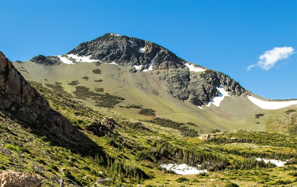
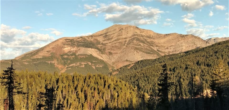
Elk Mountain Trail is a 6.8-mile out-and-back from the Fielding access near US 2 to a 7,835-foot summit, with roughly 3,300 feet of climbing. Give it six to seven hours. Other published totals reach 7.4 miles; allow for the longer estimate if you need a planning buffer. The route climbs through timber, passes Fielding Patrol Cabin, then turns onto a steeper summit path. After a long forest stretch, the upper slopes open below the top. This is a hard, sustained climb for a full day, not a short viewpoint walk. The stored line traces the one-way corridor once; the mileage includes returning by the same route.

The approach and effortFielding access is reached from US 2 near milepost 192, but parking descriptions place the…

Fielding access is reached from US 2 near milepost 192, but parking descriptions place the pullout at slightly different points. Use only the marked access and check road restrictions before you go. The approach crosses private land and an active railroad; stay on the established line and use its crossing, never wander onto the tracks or adjacent property. There is no dependable water, and the steep, narrow trail makes the climb feel harder than the mileage alone. Pets are not allowed on park trails. High-elevation snow and ice can linger into summer and return in fall; check current access and trail conditions.

At the topAfter climbing through timber, the path breaks into exposed upper slopes, with views across the…

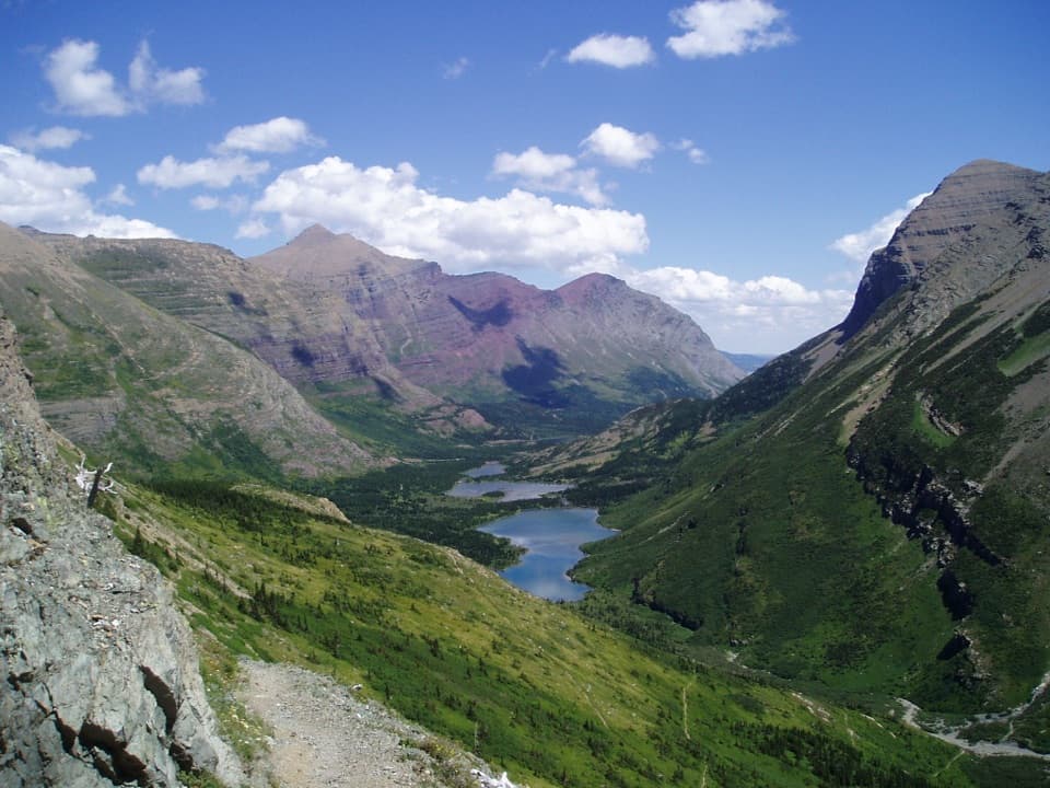
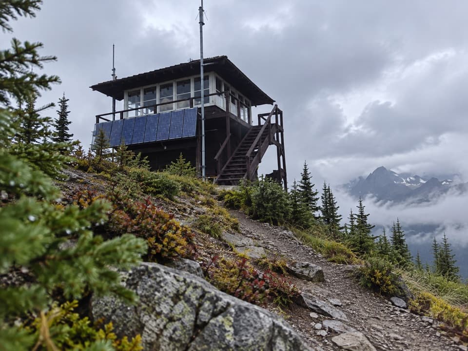
After climbing through timber, the path breaks into exposed upper slopes, with views across the Great Bear Wilderness, Great Northern Mountain, Stanton Glacier, Mount Saint Nicholas and the prairie. Concrete foundation and anchor hardware mark where a fire lookout once stood; the lookout was removed in 1965. Fielding Patrol Cabin dates to 1936. Choose this hike for the summit and the history, knowing the hard ascent is the main event. For a photo, include the old lookout foundation in the foreground with the southwest peaks behind it.

Wildlife

Wildlife in Glacier

All Glacier wildlife maps

Sighting maps show where each species has been reported across Glacier. Wildlife moves, so no sighting is guaranteed.

Parkwolf’s Glacier ranking

Top-rated trails in Glacier

All 157 trails
  1. 1Highline TrailChallenging · 11.8 mi
  2. 2Grinnell Glacier TrailChallenging · 10 mi
  3. 3Iceberg Lake TrailModerate · 9.6 mi
  4. 4Hidden Lake Overlook TrailModerate · 2.6 mi
  5. 5Avalanche Lake TrailModerate · 5 mi
  6. 6Trail of the CedarsEasy · 0.9 mi

Take Parkwolf to Glacier.

The audio tour guide for the drive, plus offline maps, trails, and wildlife heatmaps for when the signal drops.

4.7 from 8,600+ ratings

Download Parkwolf on the App StoreGet Parkwolf on Google Play