Moderate

Autumn Creek Trail

Quiet forest-and-meadow traverse with historic lake and mountain peeks
Autumn Creek Trail, Glacier National Park
Distance8.6 mi
Typical time3.9 hr
DifficultyModerate
PetsNot allowed

Overview

Autumn Creek is the under‑the‑radar traverse near Marias Pass that trades the park’s marquee crowds for solitude, berries, and periodic mountain views. The classic point‑to‑point is 8.6 miles one way from Marias Pass to a pullout near mile 203 on US‑2, with about 947 feet of gain and 1,056 feet of loss. Starting at Marias Pass delivers a net downhill that many hikers describe as a gentle, “easy lazy” glide—just longer and more committing than it looks on the map.

Route highlights

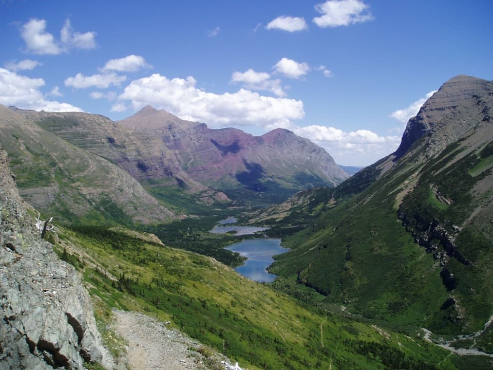
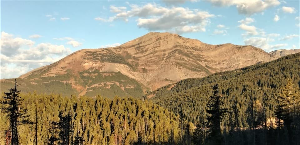
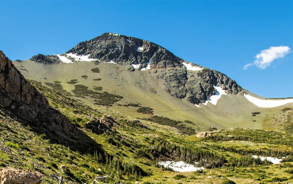
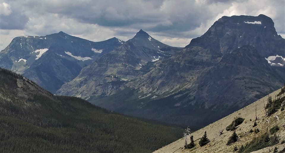
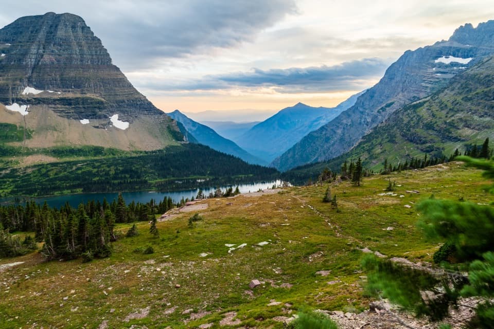
From the large gravel parking on the north side of US‑2 at Marias Pass, cross the railroad and follow the Summit Spur. About 0.5 mile in you cross the earthen dam at Three Bears Lake—built in 1902 by the Great Northern Railway—then reach the signed Autumn Creek Trail around 1.1 miles. The path slips through open lodgepole pine with beargrass, huckleberries, and grouse whortleberries, with meadows that pop with wildflowers in June–July. Views come in windows: Calf Robe, Summit, Little Dog, and Elk Mountain all make cameos. The high point (just under 6,000 feet) sits roughly 4.5 miles from Marias Pass beneath a formation locals call “The Mummy,” then you’ll pass the Lubec (Coonsa) junction before finishing at the US‑2 pullout.

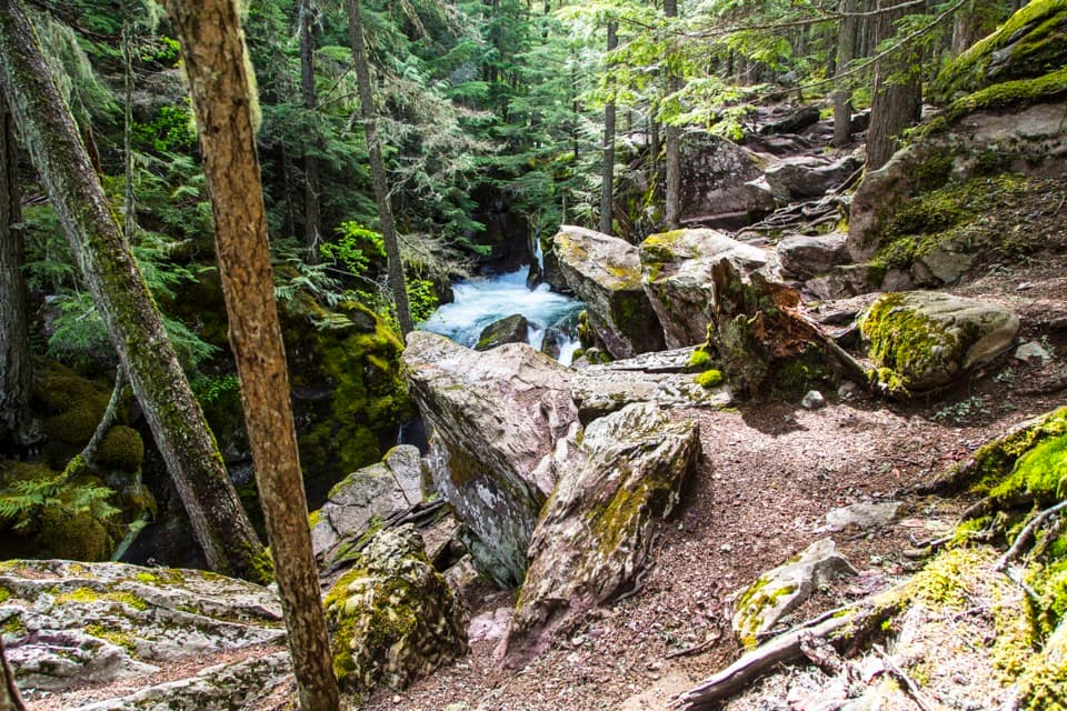
Expect numerous small stream crossings—one hiker counted around 20 on a west‑to‑east traverse. Trail maintenance is variable: some stretches (like the first 1.6 miles to Elk Mountain and a mile between the Lubec and Firebrand junctions) are in better shape, while other segments (including a long approach toward the Lubec junction) can feel rough and brushed‑in.

Difficulty and who will enjoy it

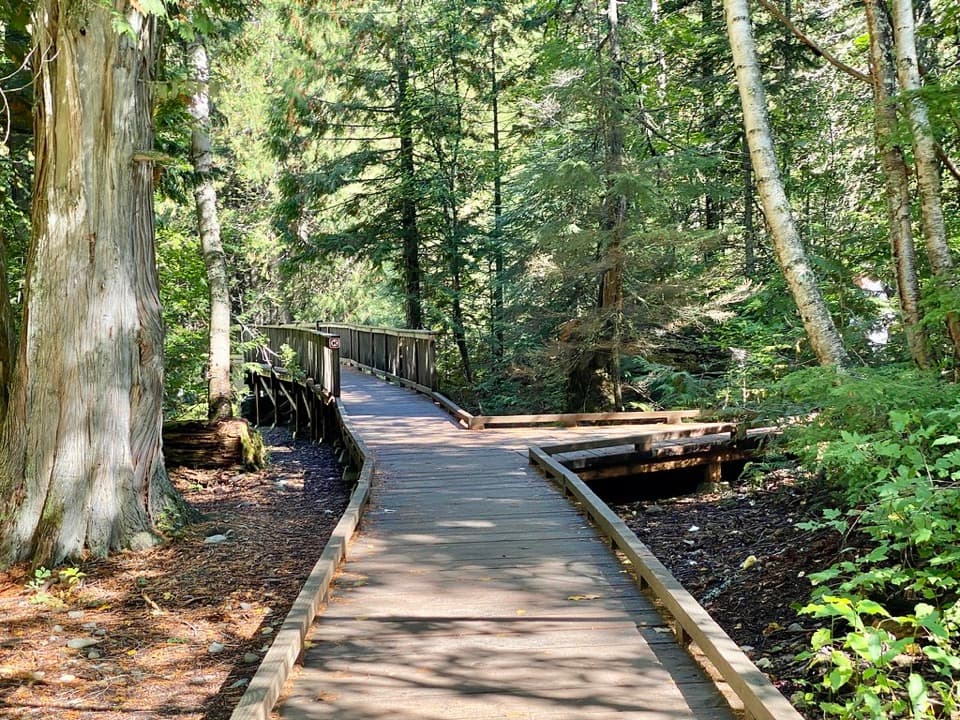
This is a moderate‑feeling, longer day for strong walkers rather than a short viewpoint sprint. The grades are reasonable, but the distance, variable tread, and many little creek hops add up. If you love quieter paths, seasonal flowers and berries, and bits of railroad history, it’s a gem. If you’re chasing nonstop, big‑alpine scenery, know that much of this route travels in forest with views metered out between openings.

Best time to hike

  • Summer (July–August): Typically dry and snow‑free by August; wildflowers peak in June–July.
  • Autumn (Sept–Oct): Pretty, but early snow is possible and bears are very active.
  • Early season (May–June): Lower sections can be muddy with pooled water; higher stretches may hold snow and require route‑finding.
  • Winter: Popular as a ski/snowshoe outing, especially the 5.7‑mile Blacktail Hills option (orange tree tags help after storms). Check the avalanche forecast, particularly around open slopes by Elk Mountain.

Logistics, parking, and shuttle

Park at Marias Pass (north side of US‑2) in the large gravel area by the railroad, then carefully cross the tracks to pick up the Summit Spur to Autumn Creek. The east end finishes at a pullout on the north side of US‑2 near mile 203. This is best done with two vehicles or a prearranged shuttle; otherwise you’re looking at a long road hitch or an out‑and‑back you probably don’t want.

Safety

This corridor is grizzly habitat—no dogs on this or any trail in the park. Carry bear spray, make noise, and give wildlife space. Expect many small stream crossings that can wet feet early season. In winter, deep snow can obscure the tread and avalanche hazards exist near open slopes; bring navigation tools and check conditions. Day hiking does not require a permit; overnight backcountry camping does.

Pros

  • Cross a historic 1902 railway dam at Three Bears Lake early in the hike
  • Consistent solitude compared to the park’s headline trails

Cons

  • Numerous small stream crossings that can slow progress and soak feet
  • Views are periodic; long forested stretches limit big panoramas

Parking

Large gravel parking on the north side of US‑2 at Marias Pass; cross the railroad to reach the Summit Spur. East end is a pullout on the north side of US‑2 near mile 203.

Caution

Grizzly habitat (no dogs); many small stream crossings; variable trail maintenance; winter avalanche risk near open slopes by Elk Mountain; deep snow can obscure the route.

The Parkwolf tour guide sitting on a phone mounted in a car

Parkwolf Tour Guide

Like a tour guide in your car.

Bring Glacier trail research into the car, with offline maps and stories that play as you drive.Download Parkwolf on the App Store